This morning (Friday) we got up early to catch a ferry back to the mainland, to Ullapool in Northern Scotland. From there we drove to Tongue to sleep where we slept on our 2013 Geology Field Trip.
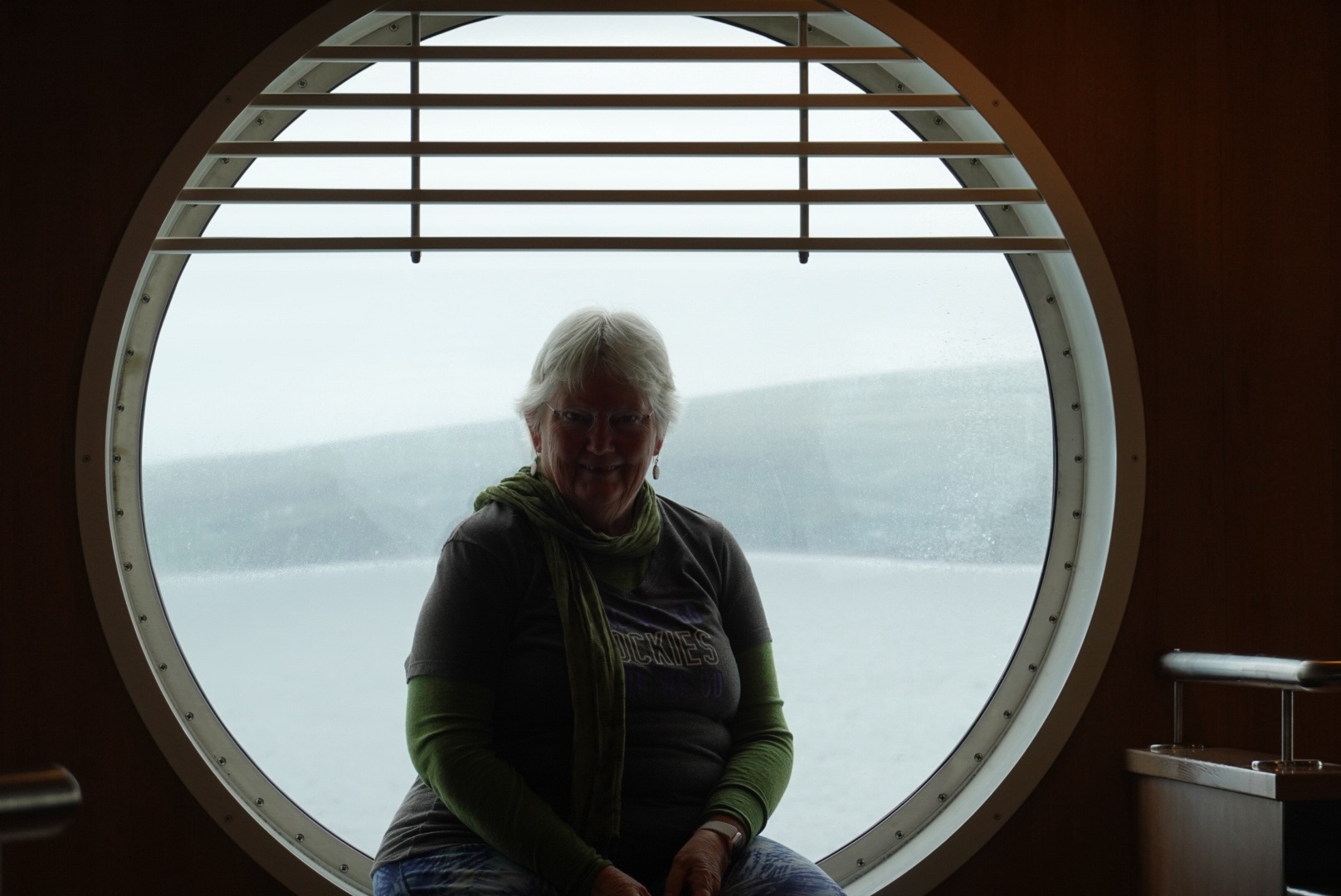
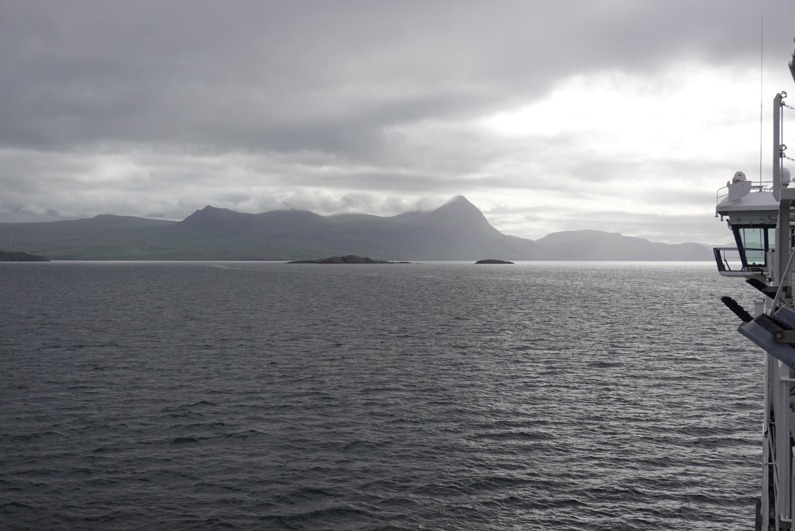
Looking back toward StornowayClare in a porthole window on the ferryMountains near UllapoolUllapool is sheltered from the ocean, on a long skinny loch.
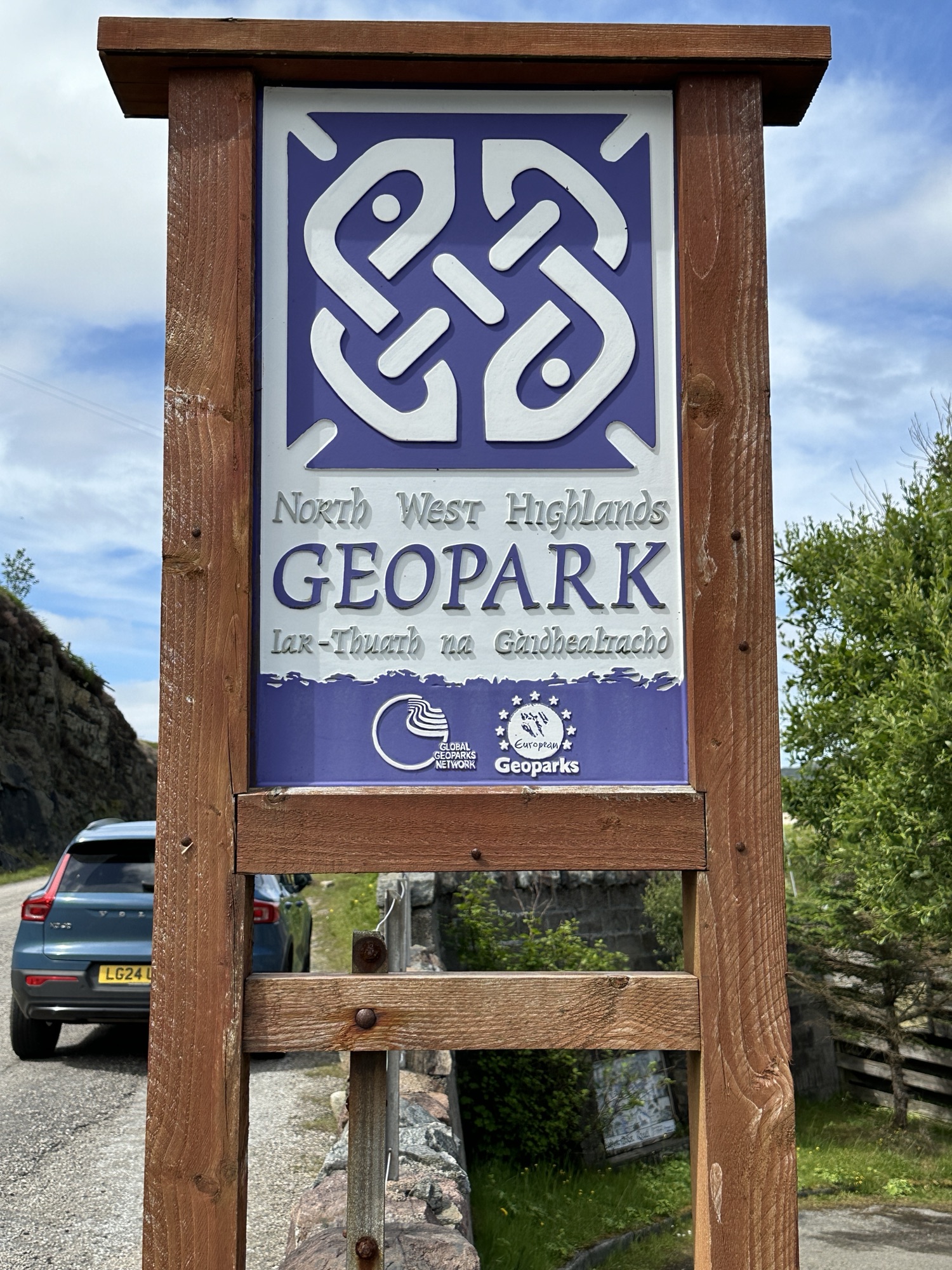
Much of today’s driving was along the North West Highlands Geopark Rock Route, which also has the Pebble Routes (smaller sites, usually including short walks). Some of the Rock Route, we travelled 11 years ago on a Geology Field Trip, but other parts were new.
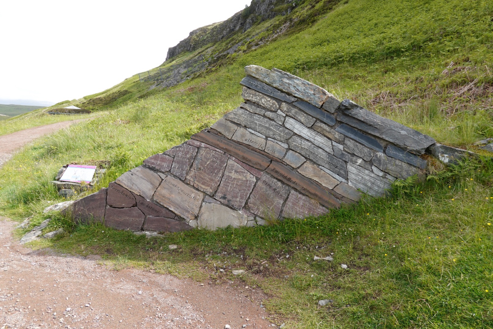
The geology of the Northwestern Highlands is complex, with rocks from many different eras in time. One of the stops along the Rock Route expressed it concisely:
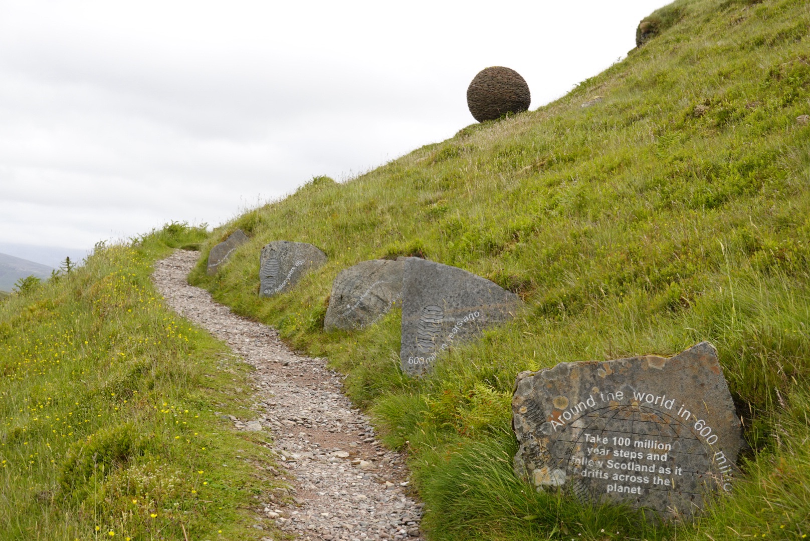
Take steps 100 million years back in time to see where Scotland lies:
100 Mya. Scotland is under a shallow sea.
200 Mya. Dinosaurs ruled Scotland.
300 Mya. Scotland is near the equator.
400 Mya. Scotland collided with England.
500 Mya. Scotland is part of North America.
600 Mya. Scotland is near the South Pole.
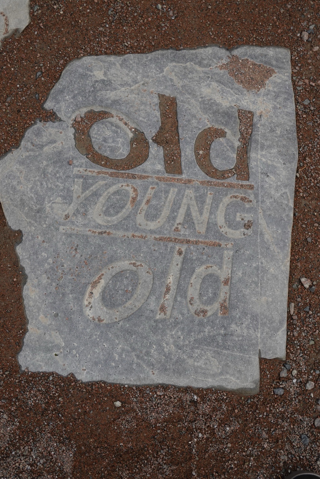
With all this smashing of continental landmasses, today’s blog will be mostly pictures with captions.
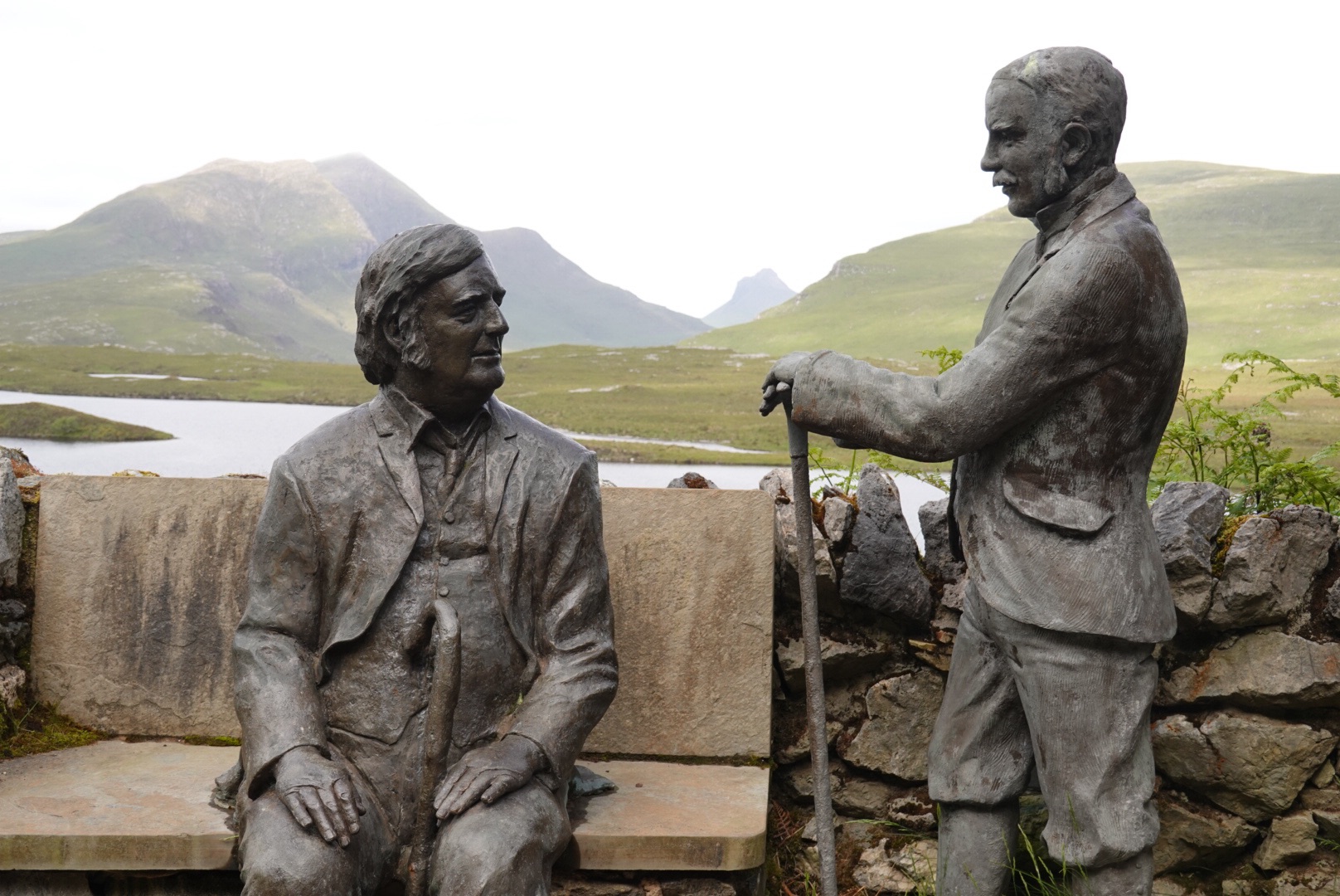
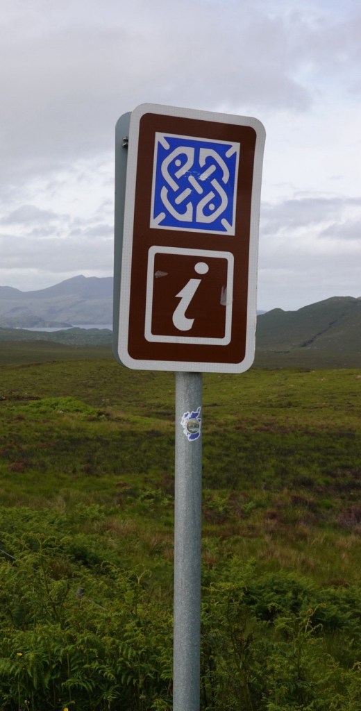
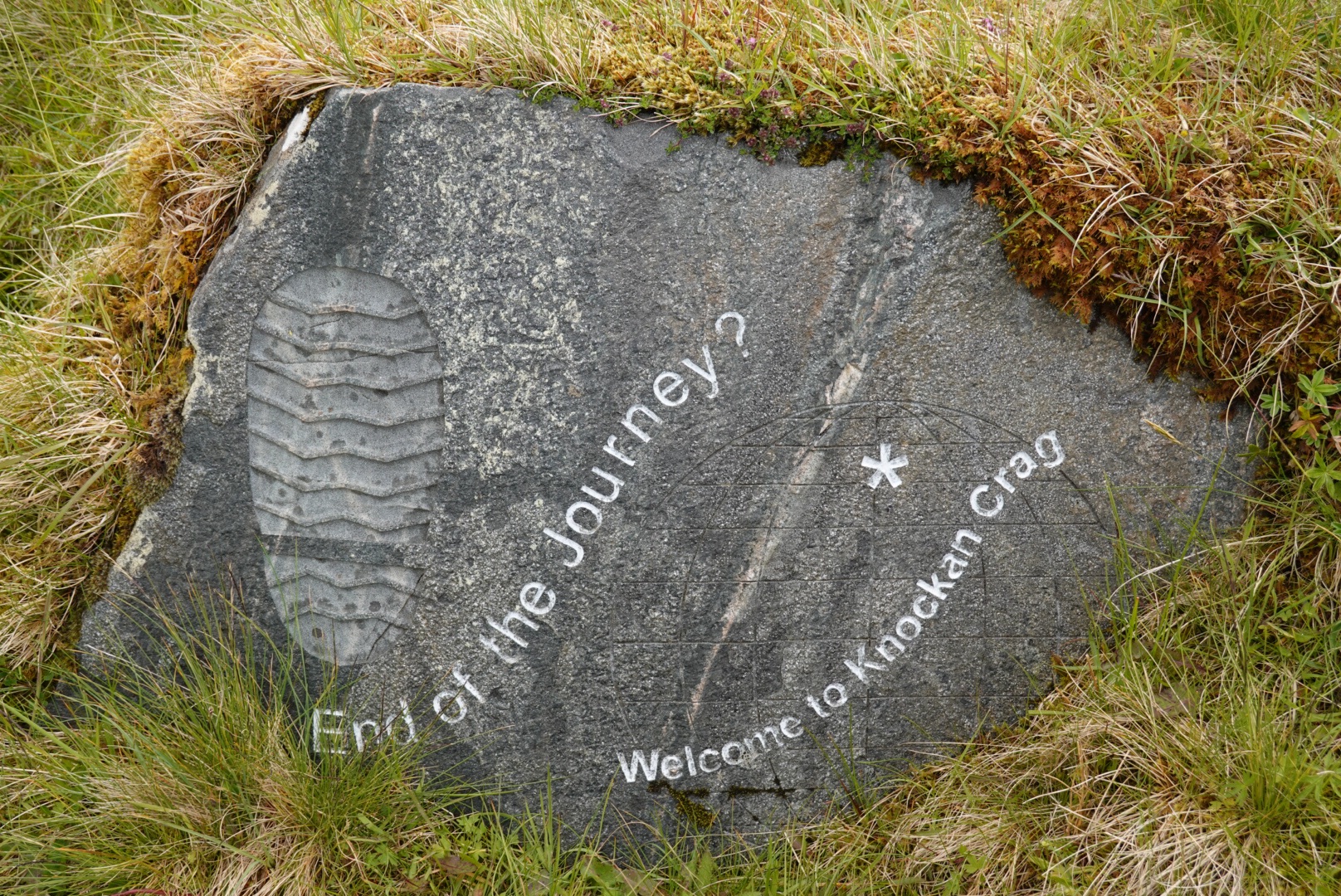
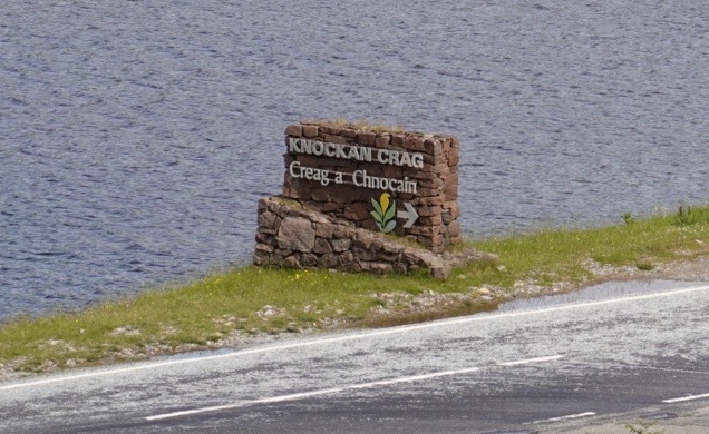
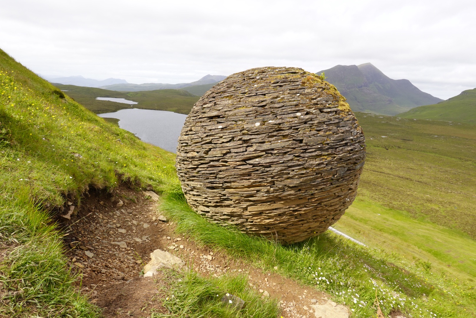
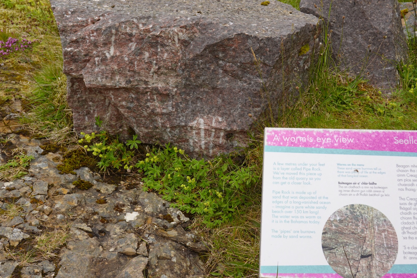
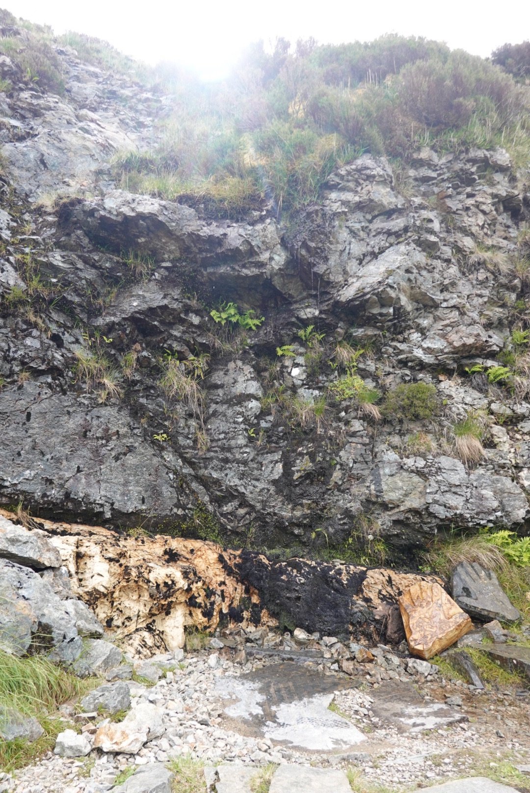
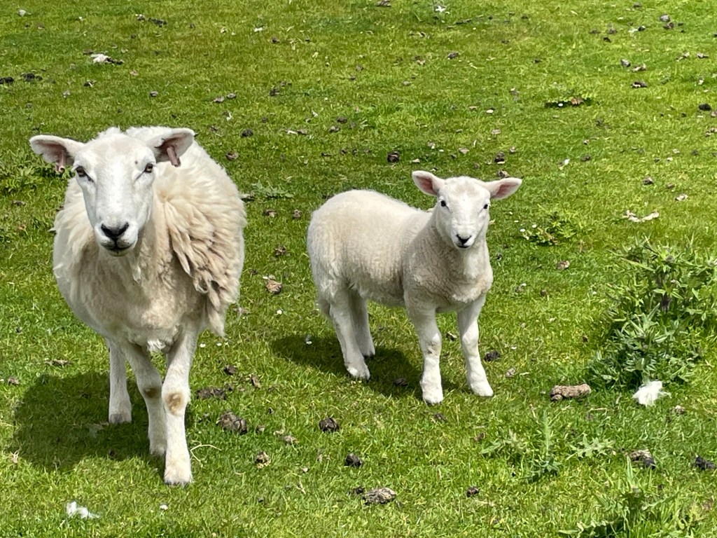
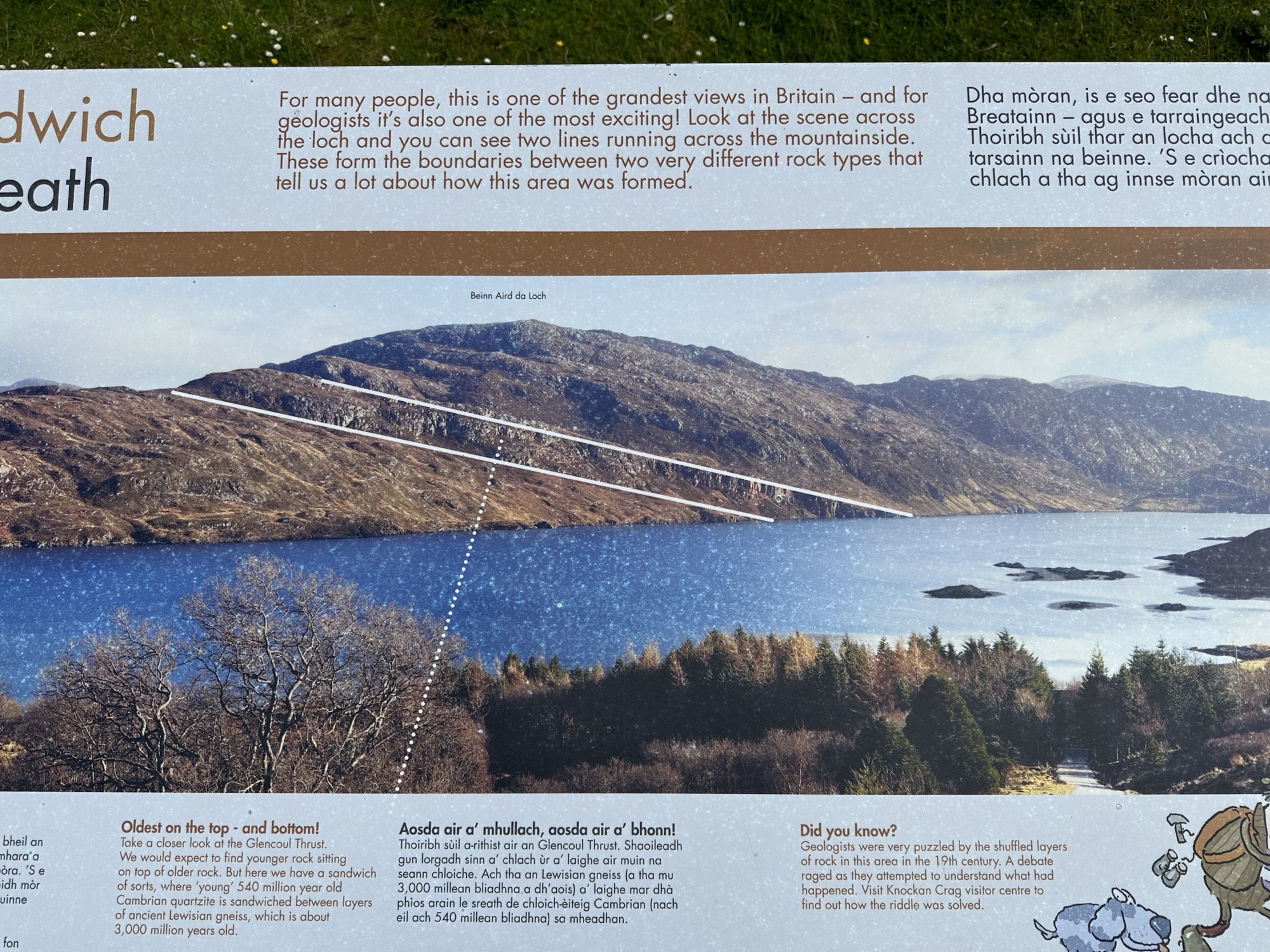
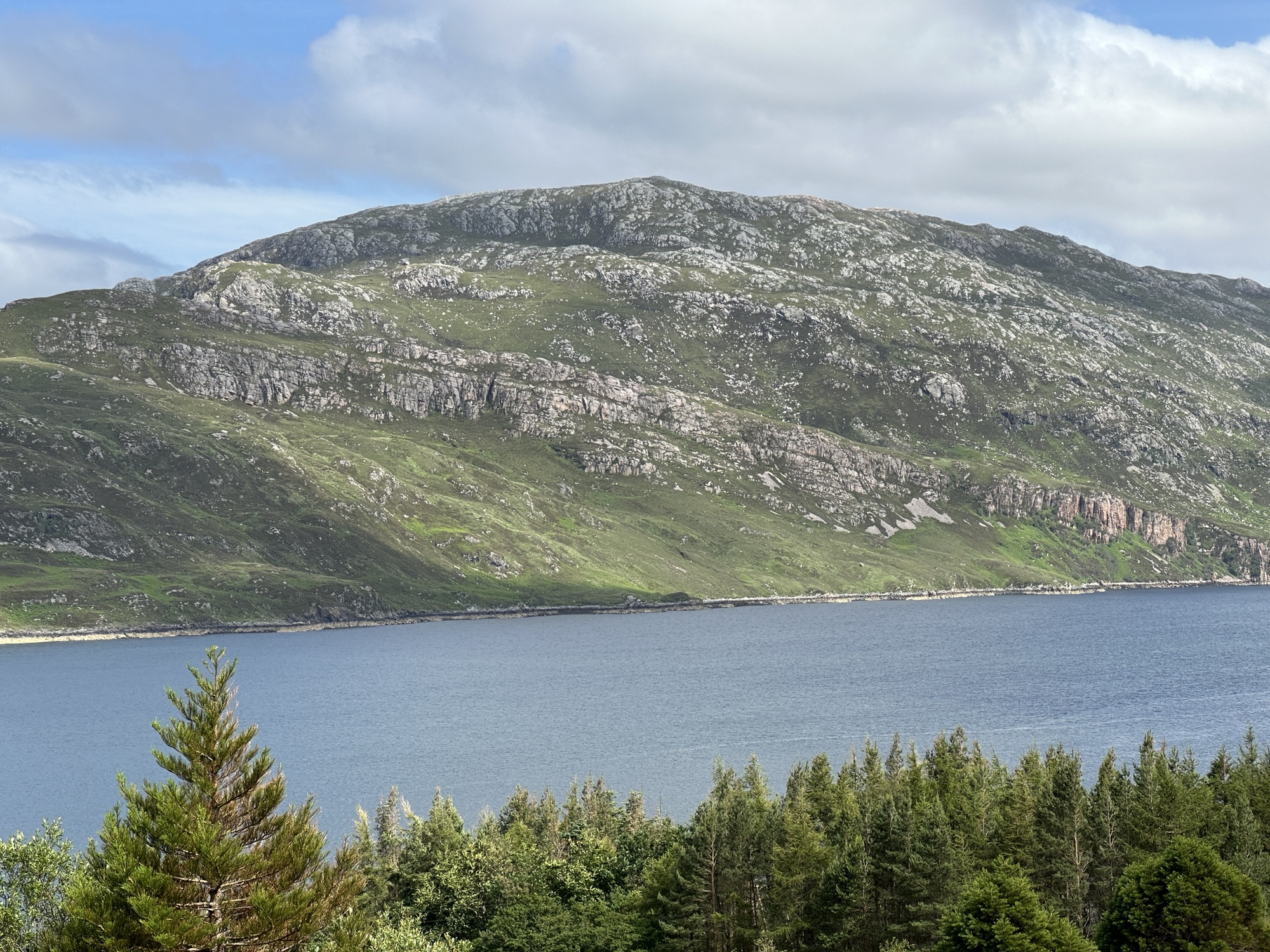
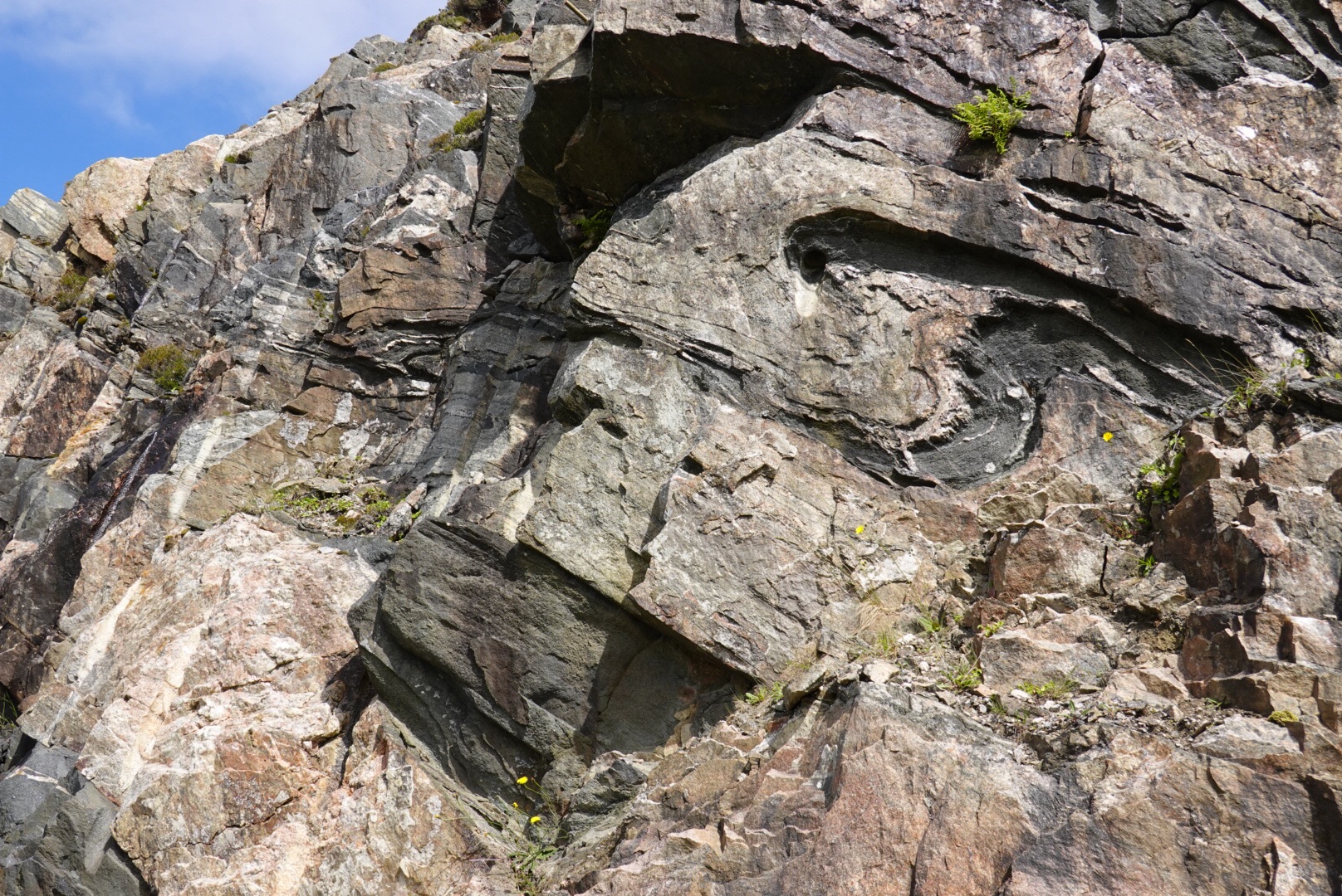
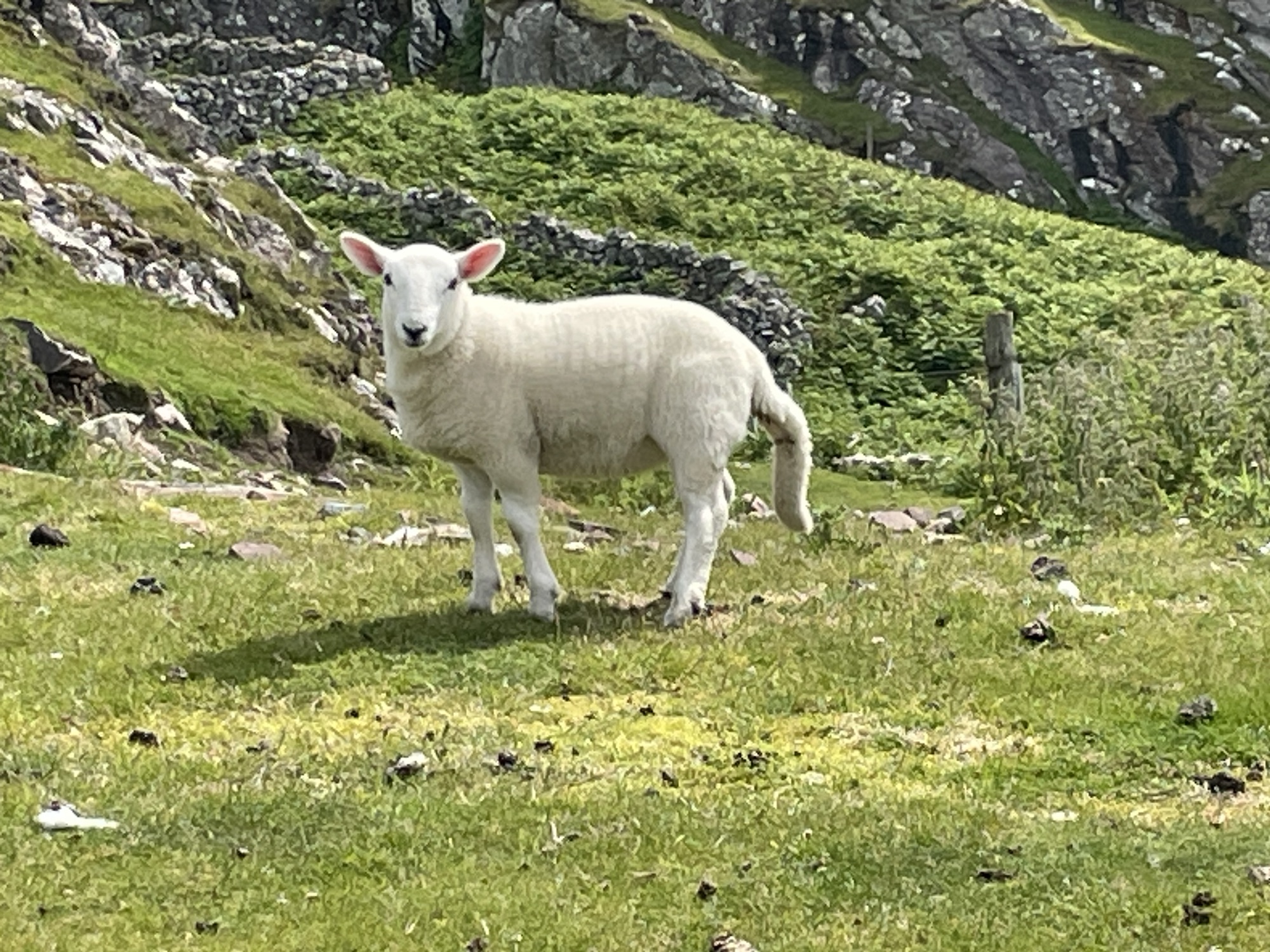
Around 1850, Geologists Peach and Horn figured out that older rocks cannot be deposited on top of younger rocks as sediments. The older rocks were shoved on top of the younger rocks. We stopped at every blue sign (with the symbol on it) that we foundSign showing where to stop for information on Rock RouteFirst stop of the Geopark Rock Route had a trail that led us up a hillsideKnockan Crag National Nature ReserveGeologic Art, showing older rocks on top of younger rocksShort trail to see the thrust fault (shoving older rocks on top)Rock art! Big sphere made of local stone along the way to the thrust fault.Fossil worm tubes, that help geologists see the amount of deformation from mountain buildingThe Moine Thrust Fault, putting older (black) rock on top of younger (tan) rockSheep, mostly moms and lambs, have populated all of our adventuresExplanation on geopark sign for the gneiss sandwich of the Moine ThrustPhoto of the Glencoul Thrust, a splay of the Moine ThrustDiagram of the unusual succession of rocks
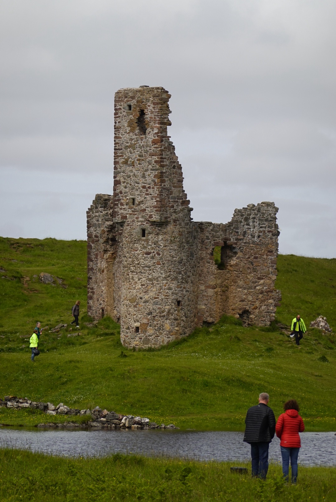
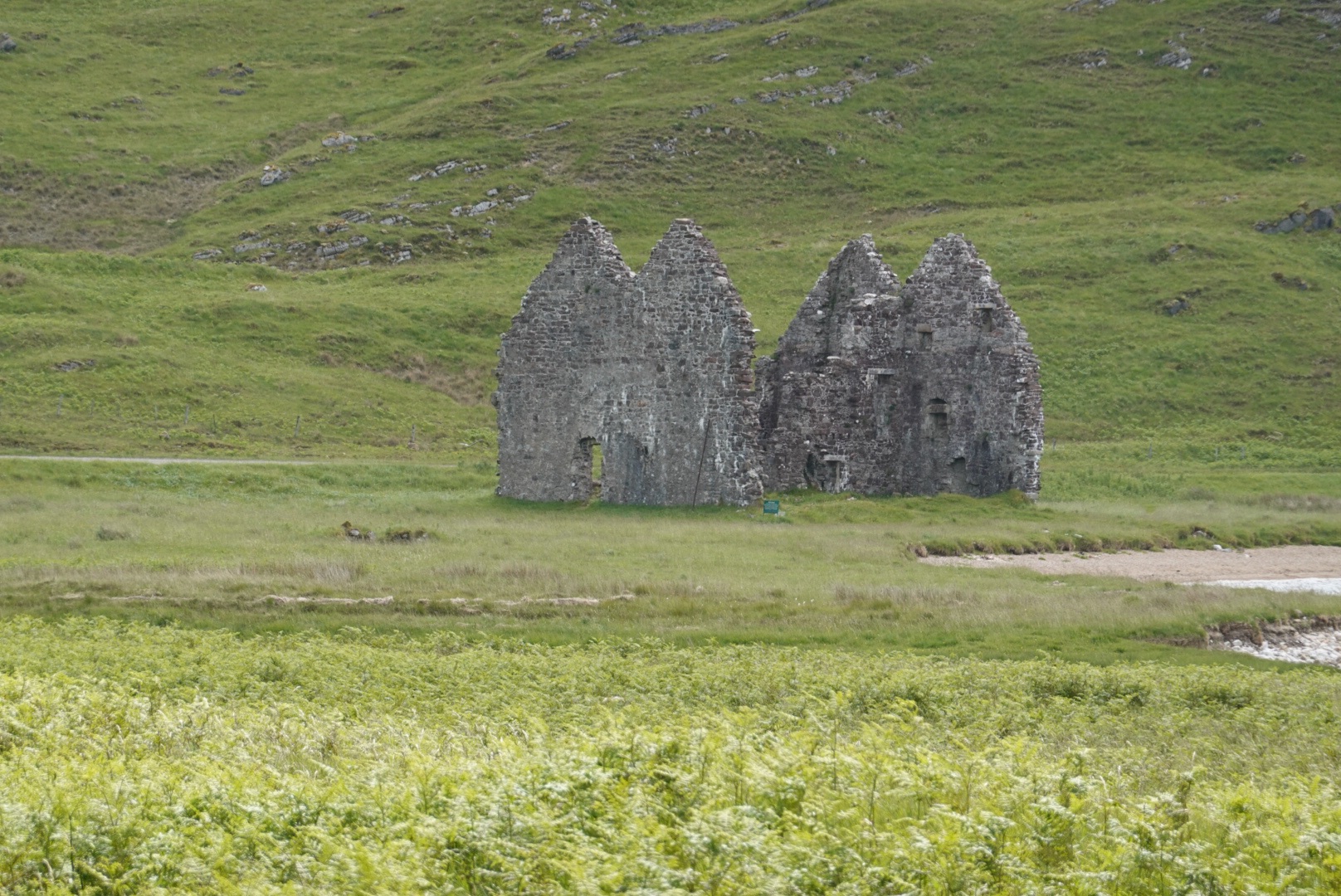
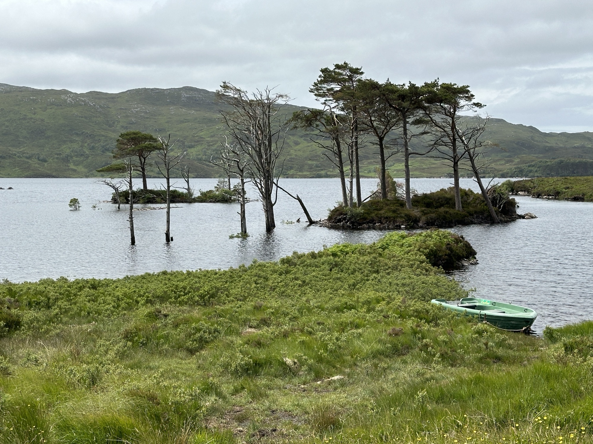
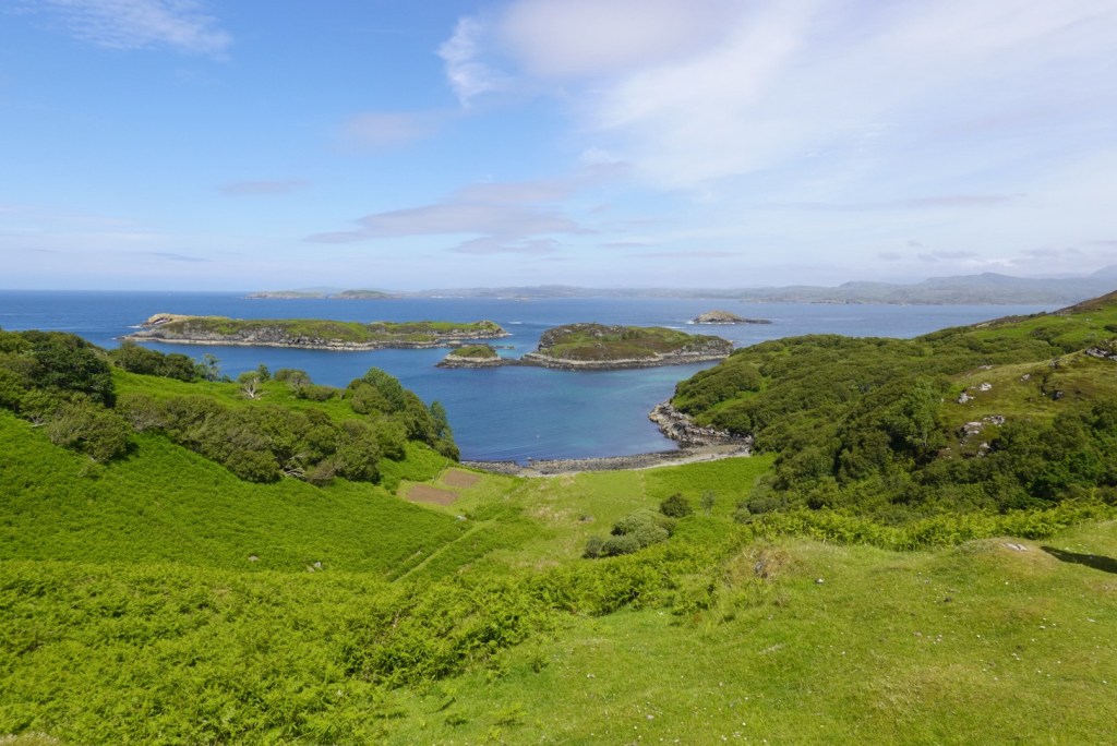
In addition to the main Rock Route in northwest Scotland, the geopark features many Pebble Routes for side trips on secondary roads. We departed the Rock Route at Loch Assynt to drive the Assynt Pebble Route through the towns of Stoer and Drumbeg.
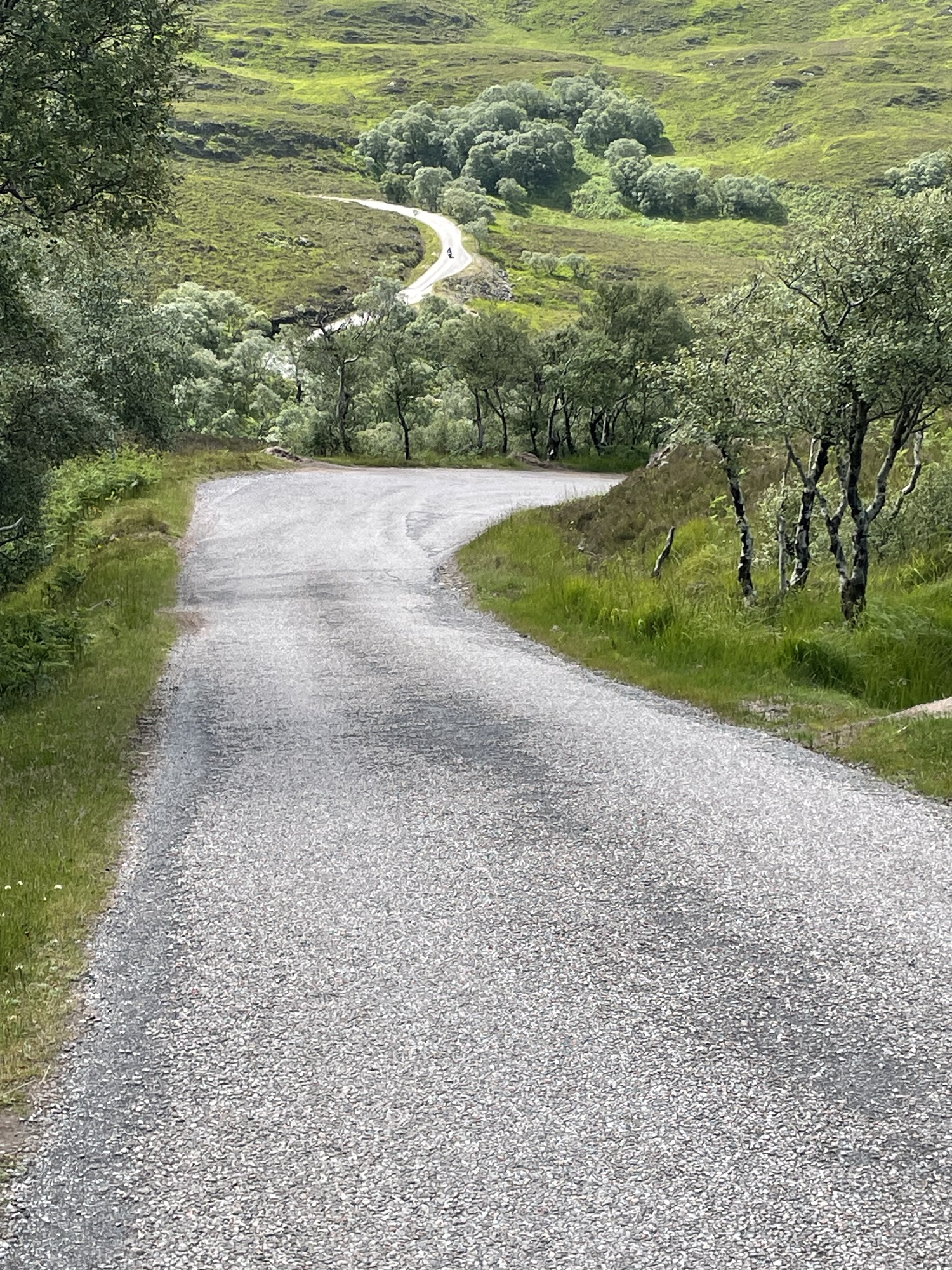
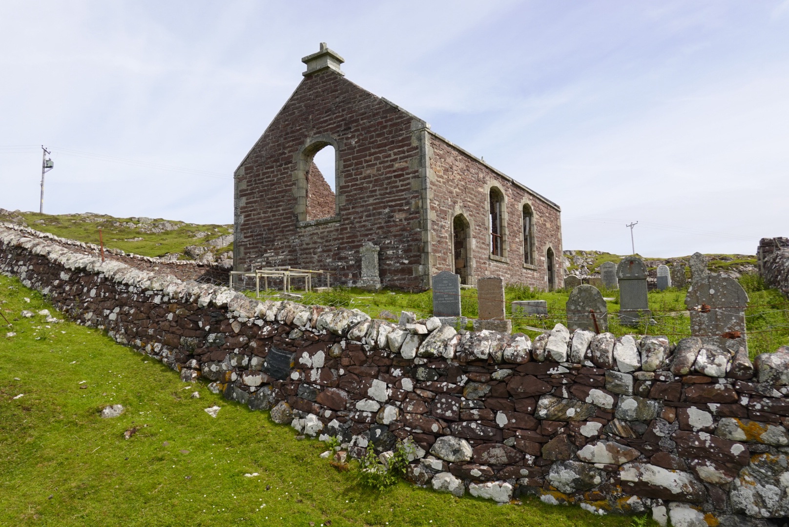
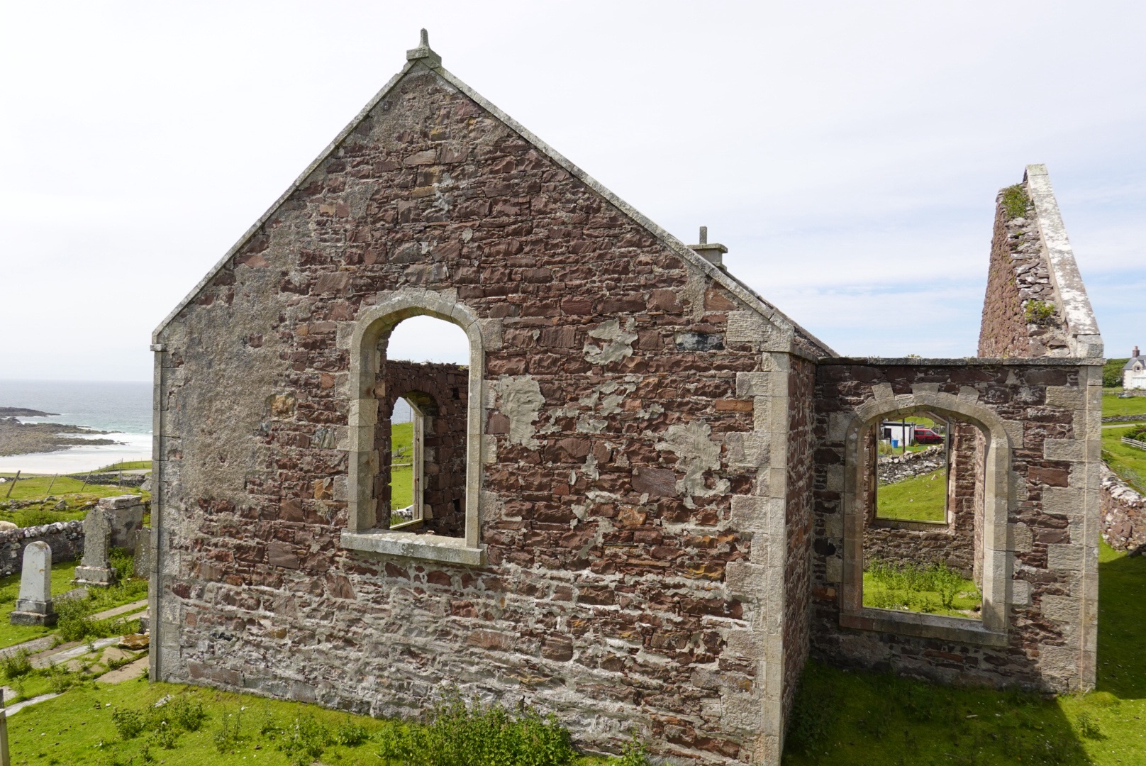
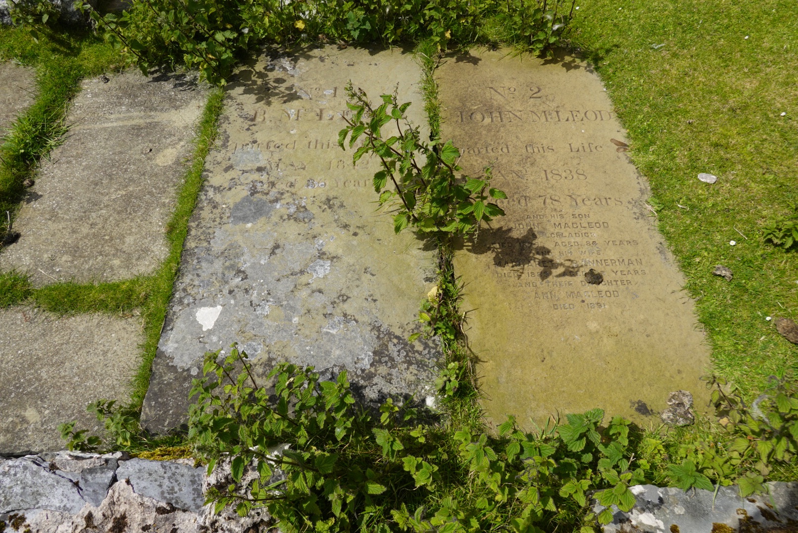
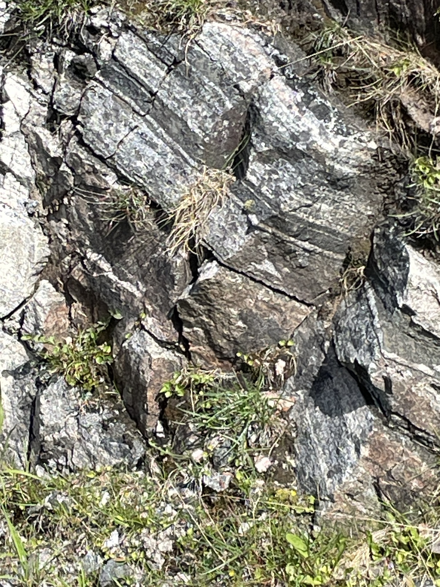
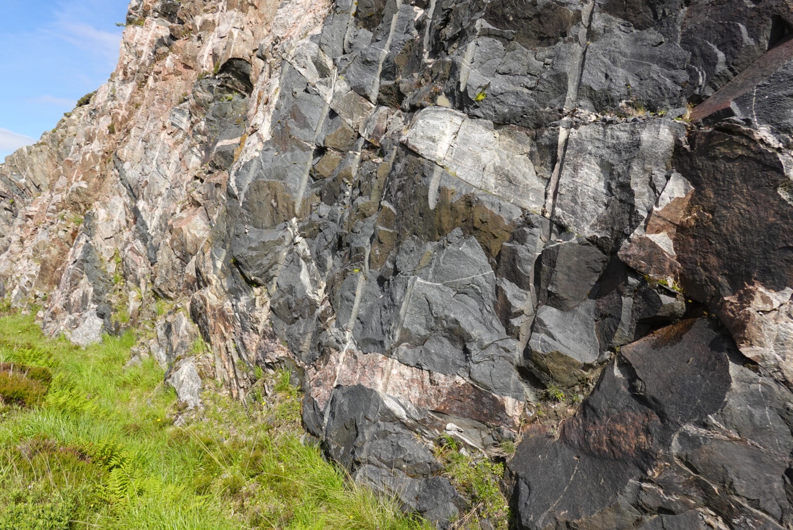
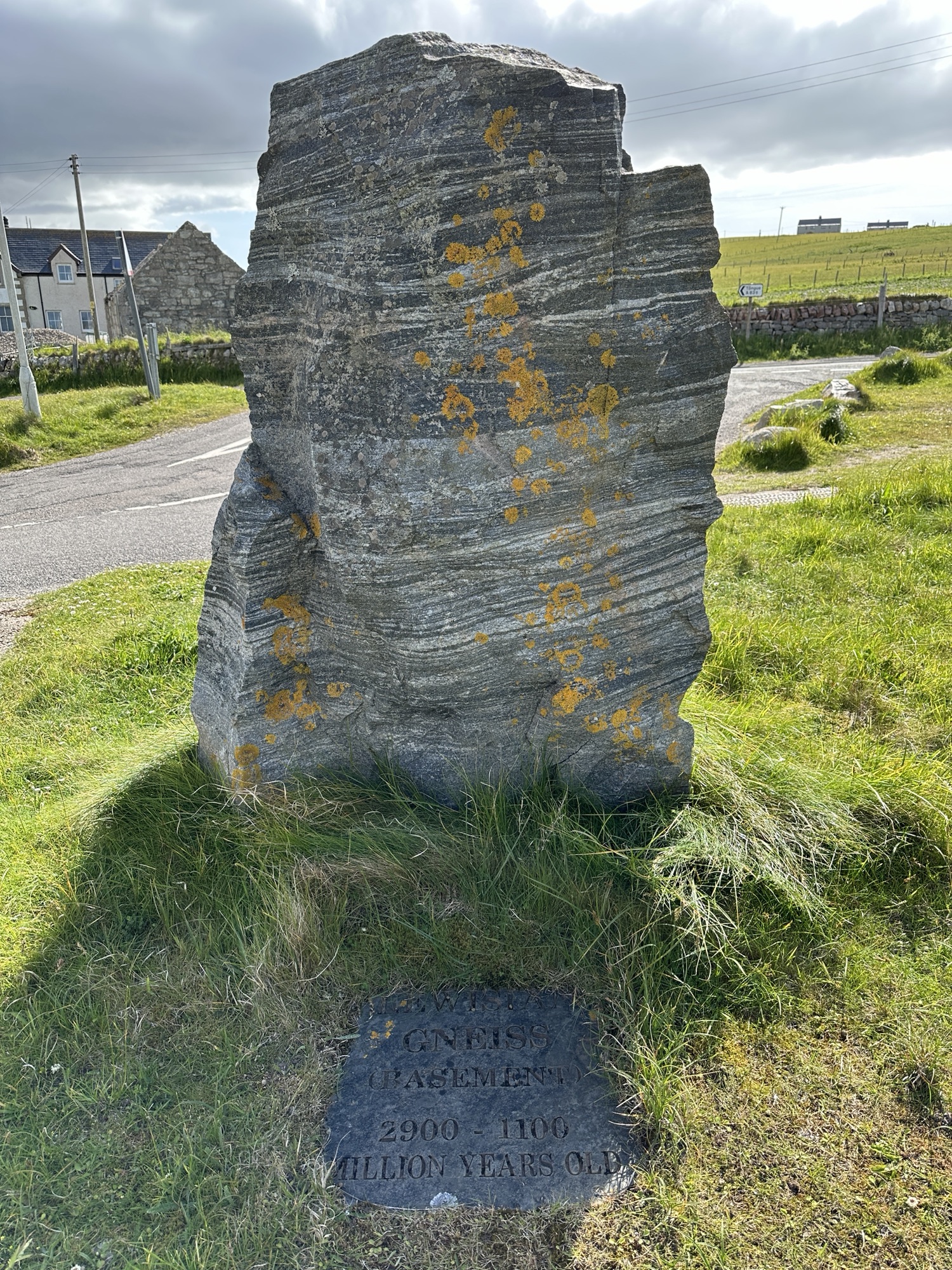
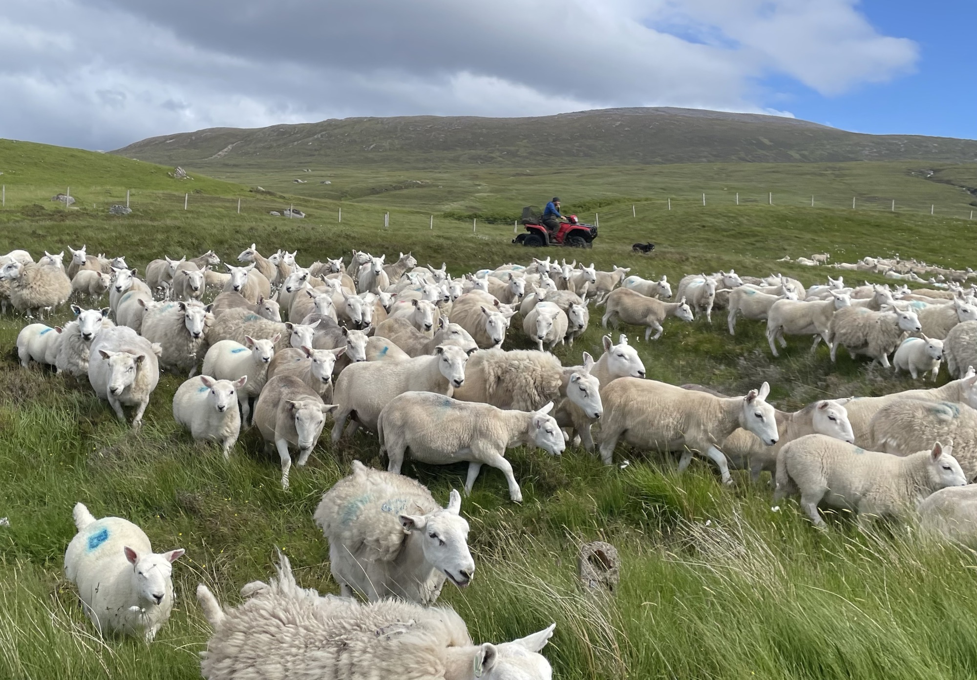
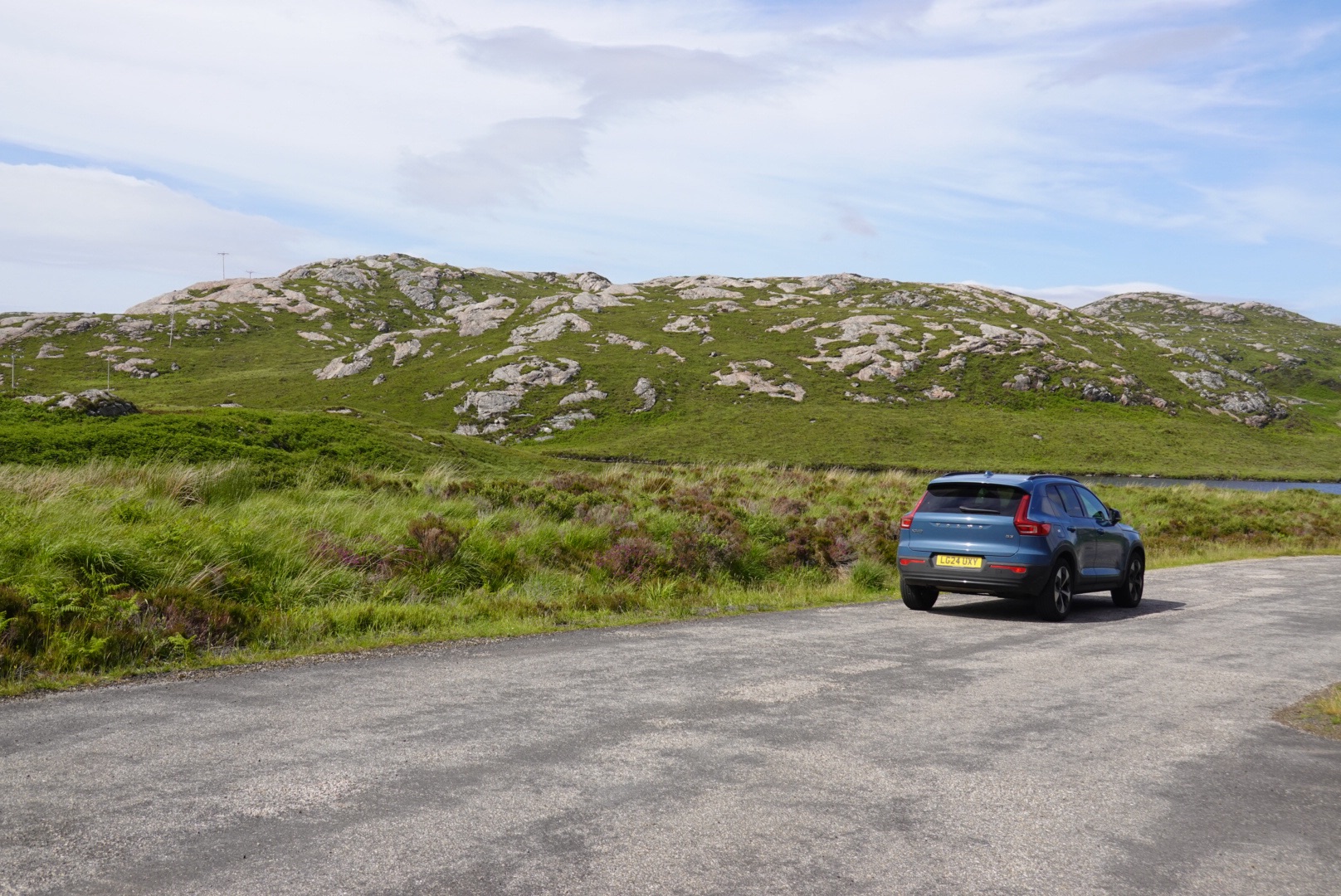
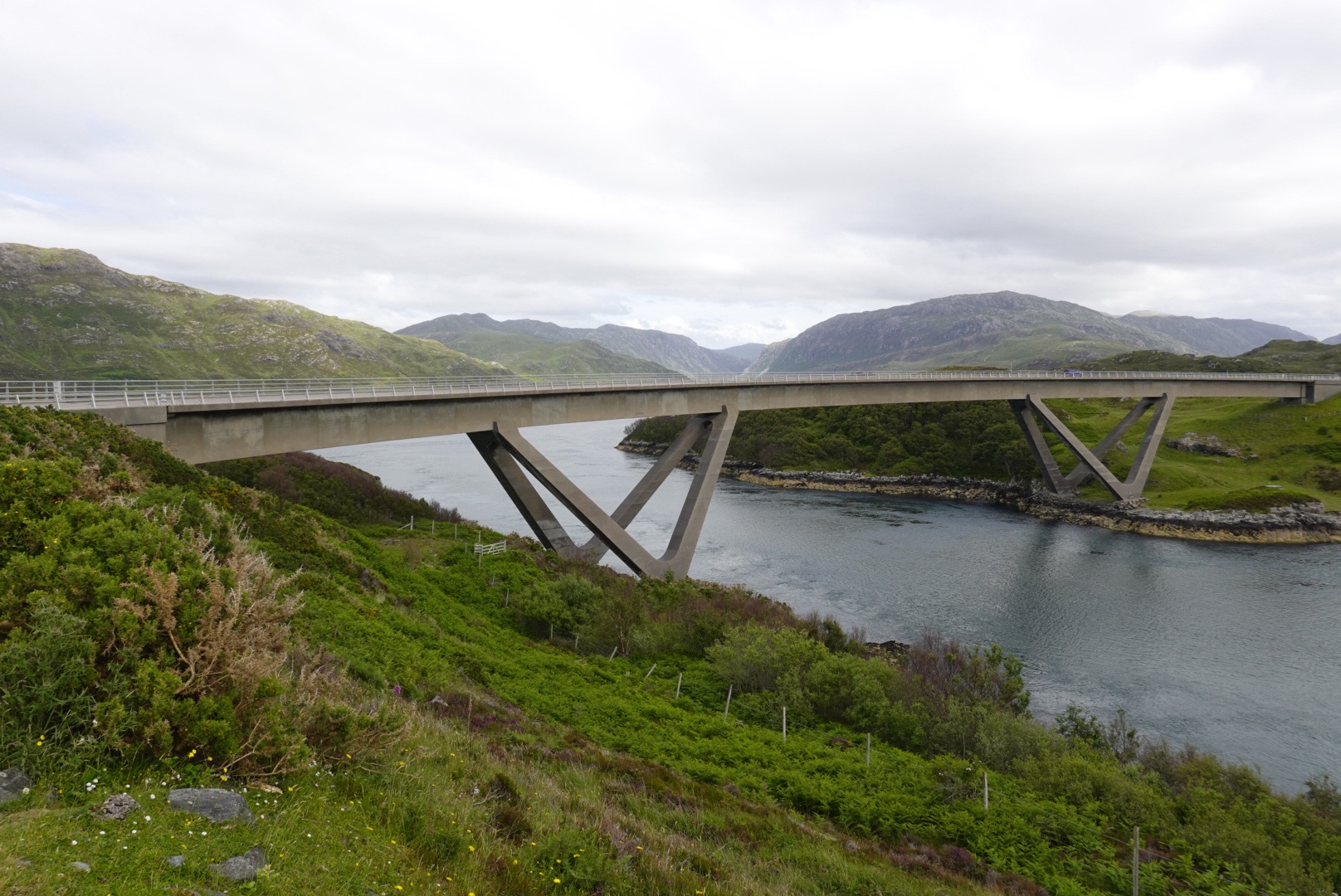
Ardvreck CastleCalda HouseIslands with unusual trees in Loch AssyntDrumbeg viewpointSecondary roads are challenging!Old Stoer church and cemetary, with graves of the McLeod clan dating to 1830sGneiss with mafic (high maganesium, dark colored) bandsDark igneous rock known locally as the Scourie dikes intrude the gneiss.The dikes also show involvement in deformationLewisian Gneiss on display in DurnessThese were being herded – toward the road we were on!So many, but also so cute.Mountains behind our carTypical Lewisian Gness terrain in the highlandsKylesku Bridge
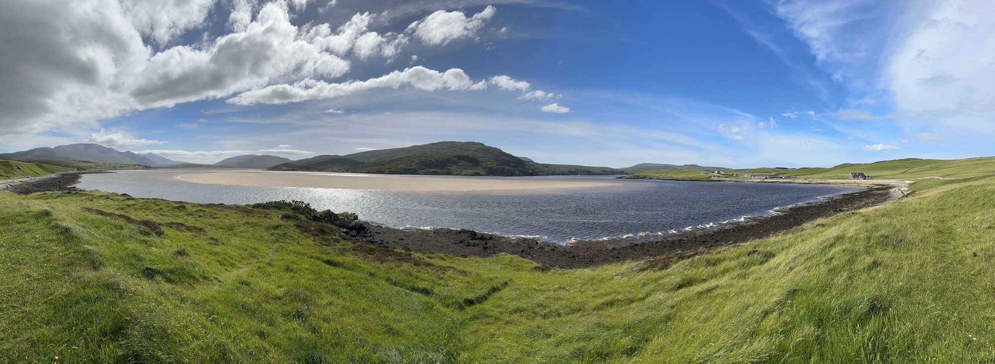
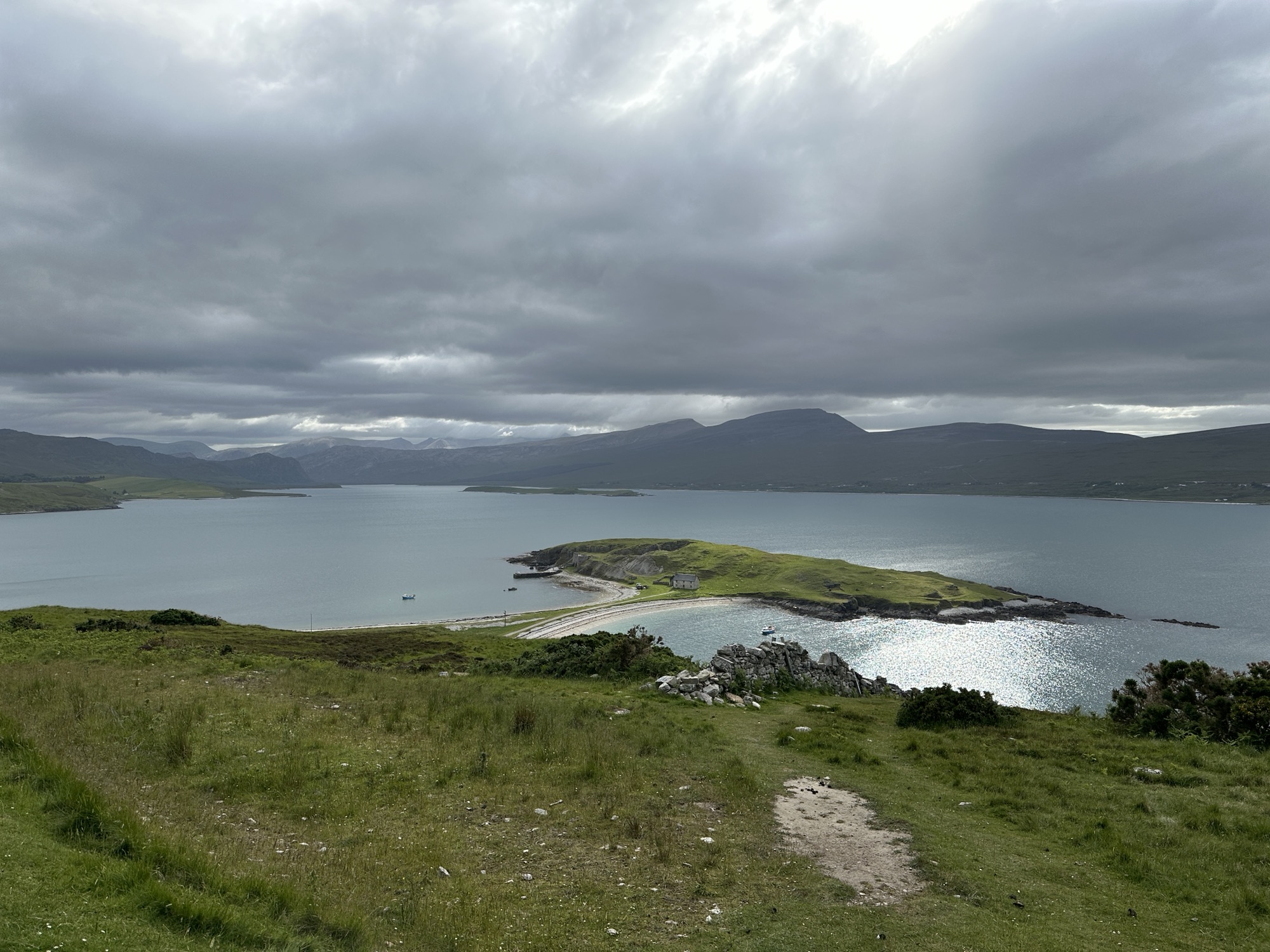
Beach at Keoldale, south of Durness
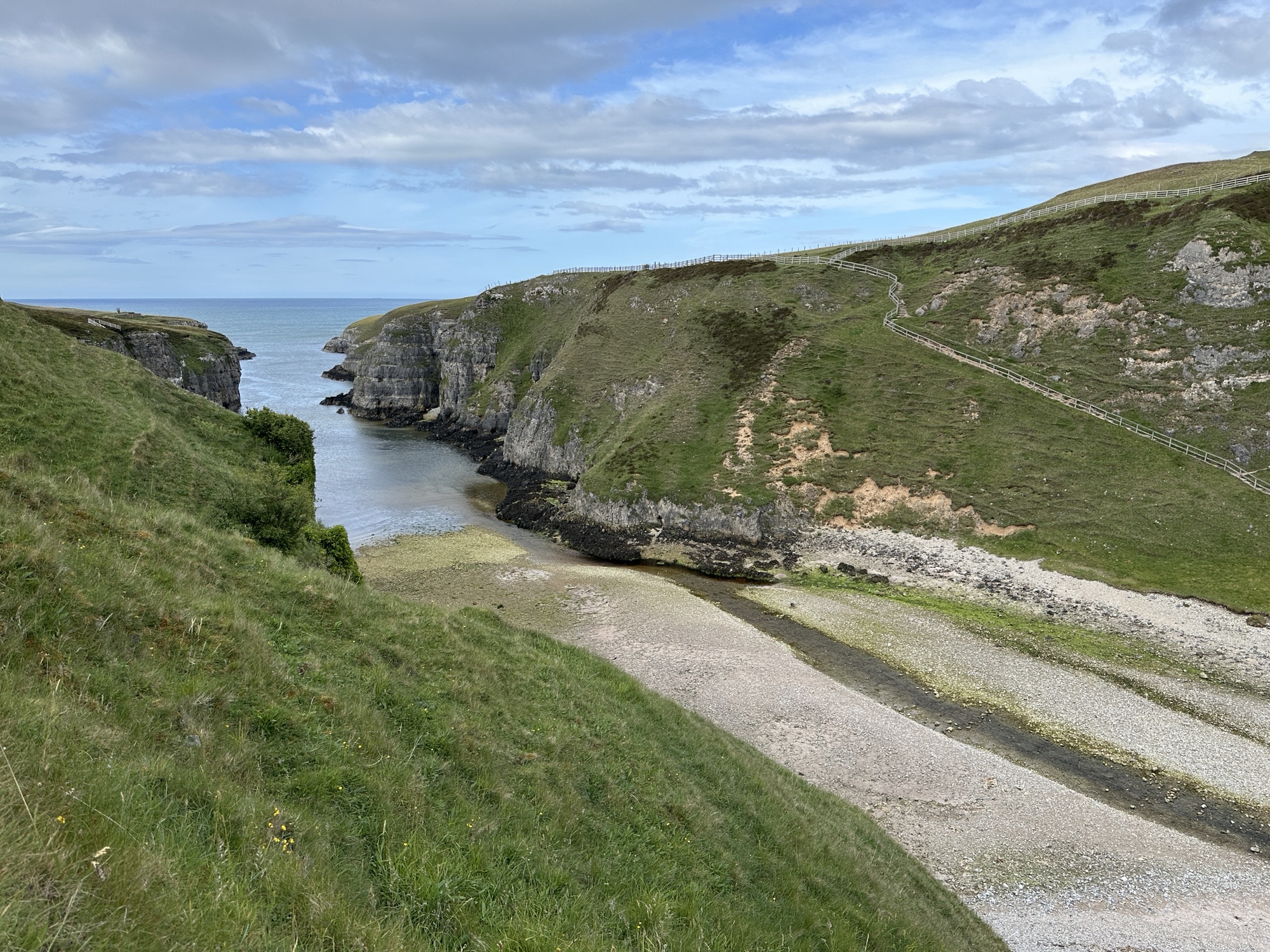
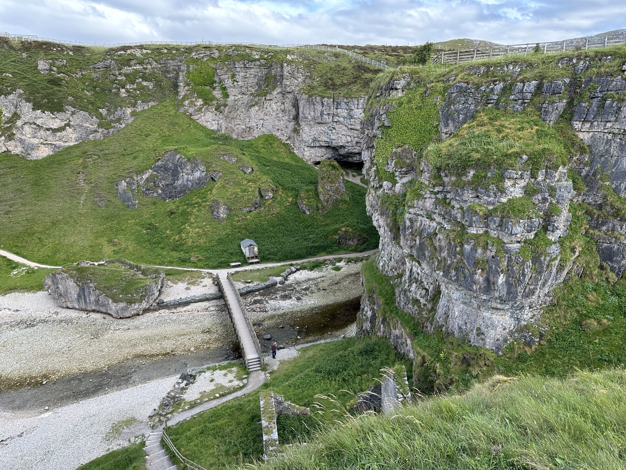
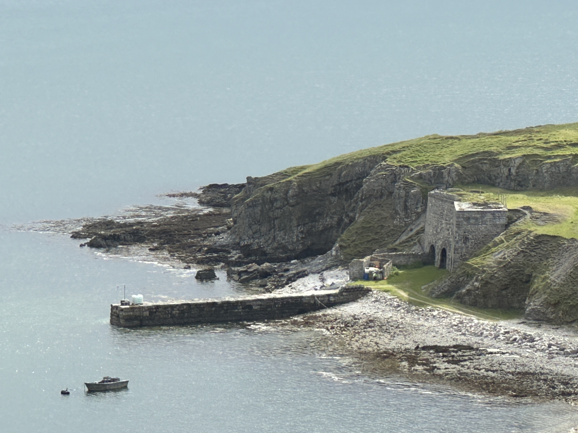
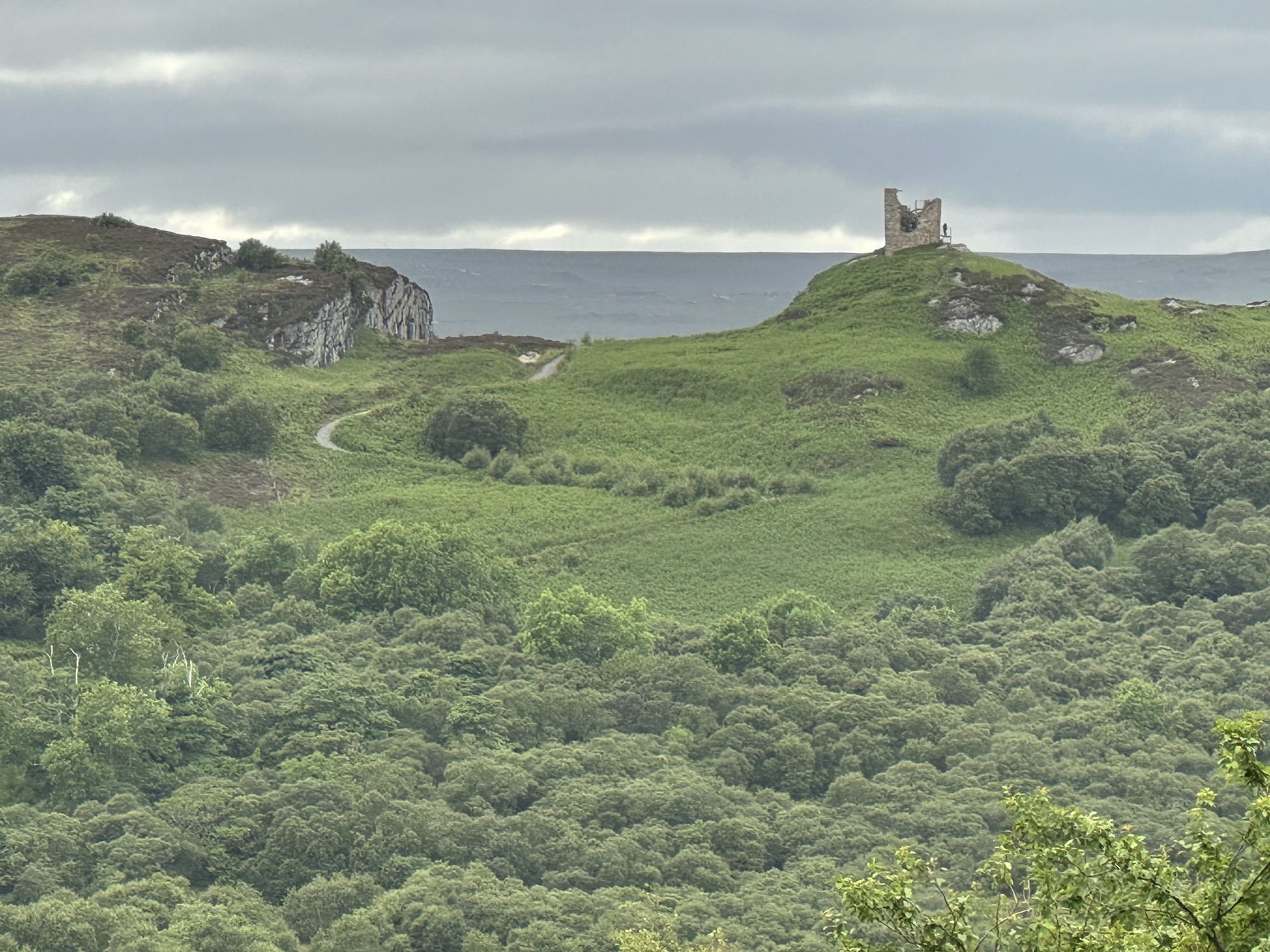
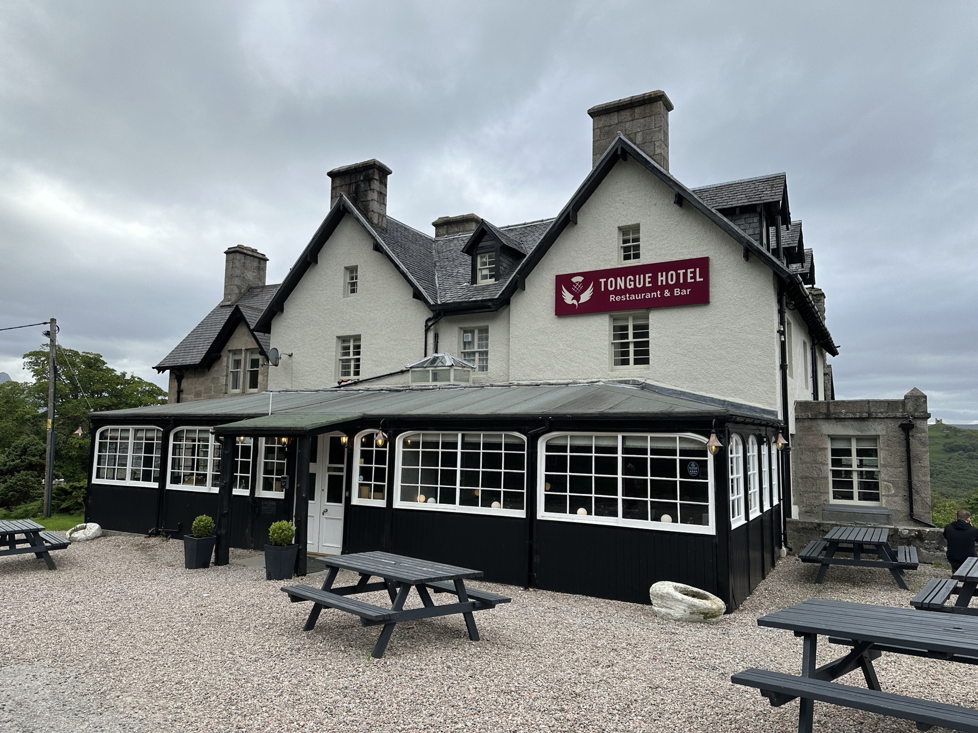
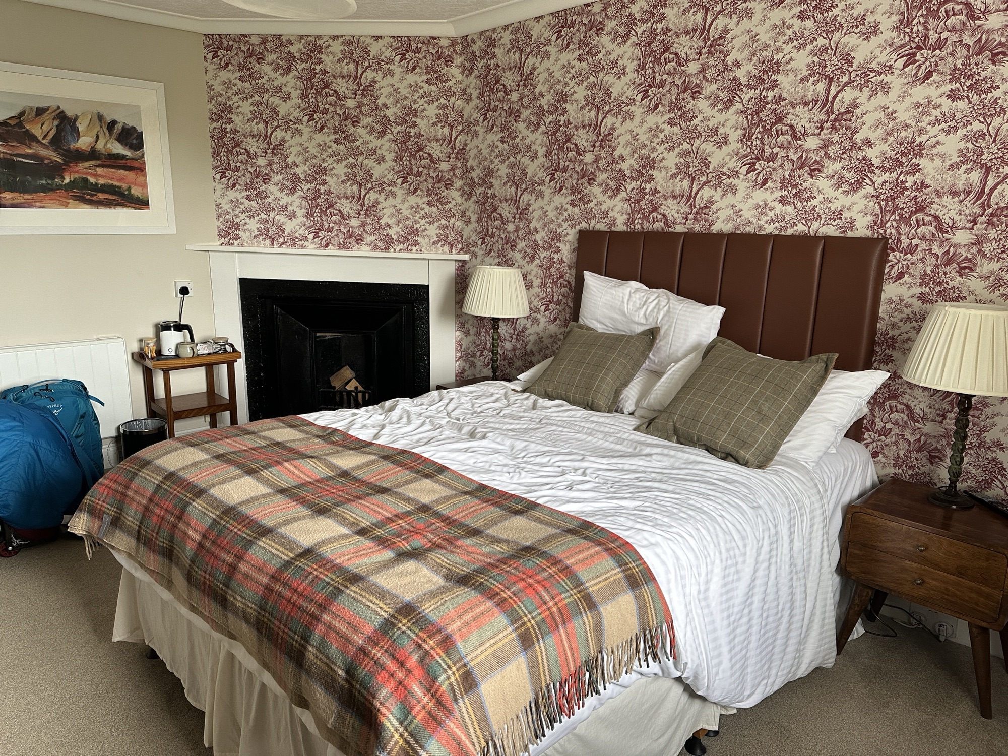
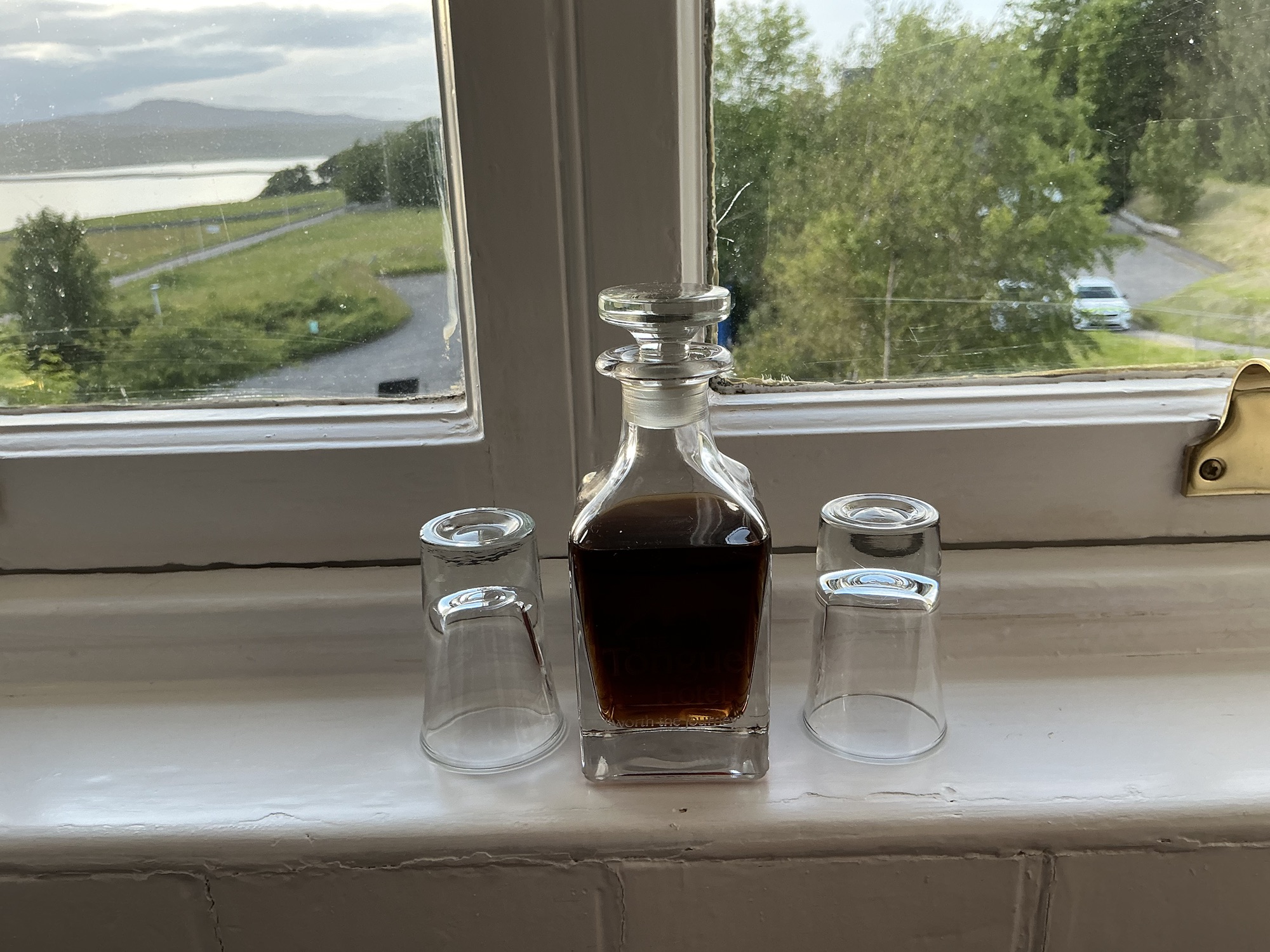
Inlet at Smoo CaveLooking down on the entrance to Smoo Cave in the Durness LimestoneKyle of TongueCloser view of kilns use to make lime from limestoneCastle Varrich lends its name to the bar and restaurant at the Tongue HotelTongue Hotel where we also stayed in 2013Our room at the Tongue Hotel included a fireplace (decorative) and a bathtub.Sherry is supplied in the room; note the glass is old so the view is distorted.