Author: bdmarsha

Sailing across the Bering Sea

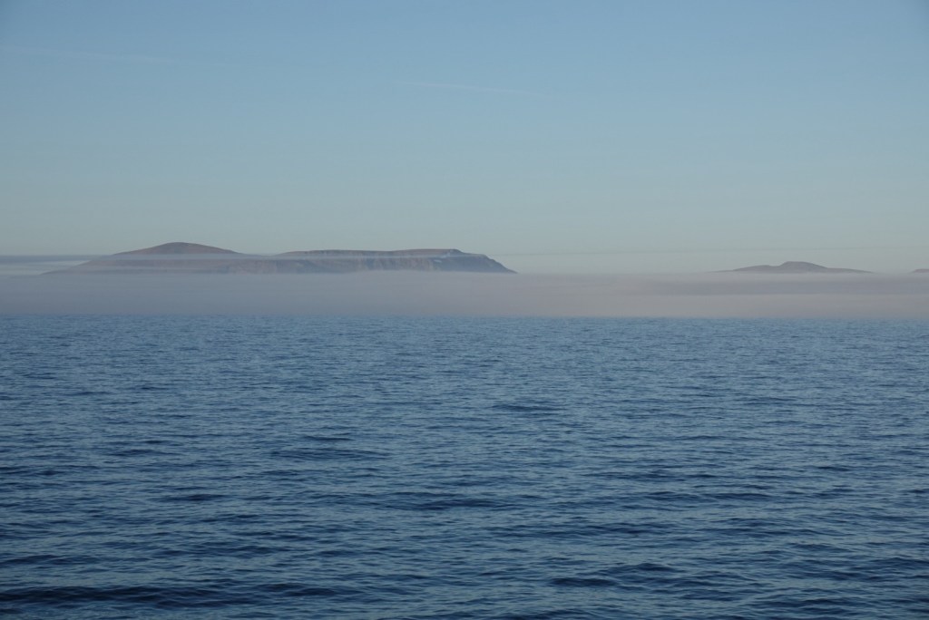
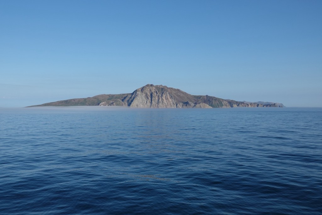
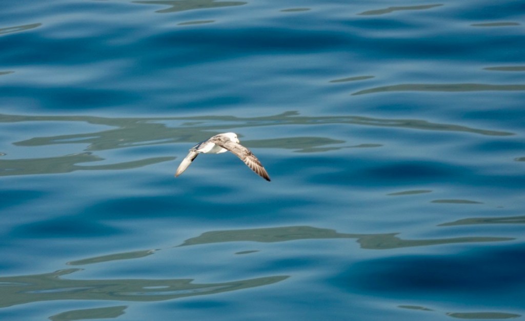
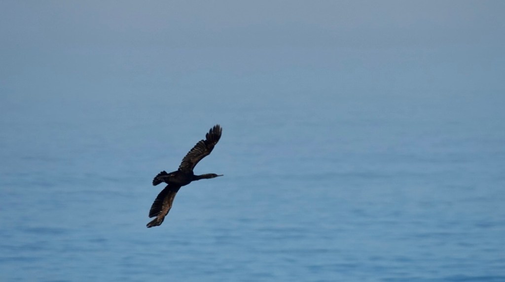
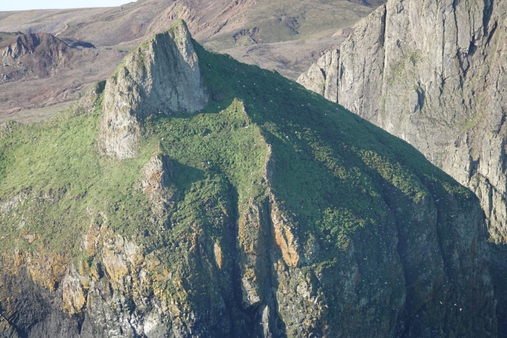
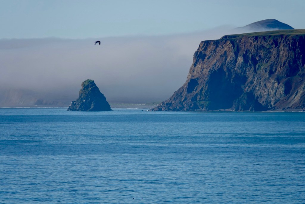
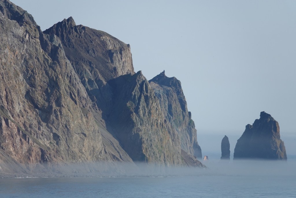
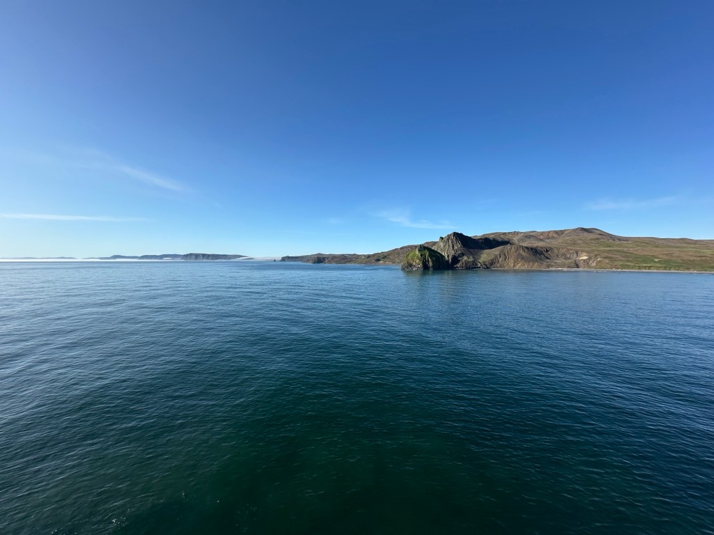
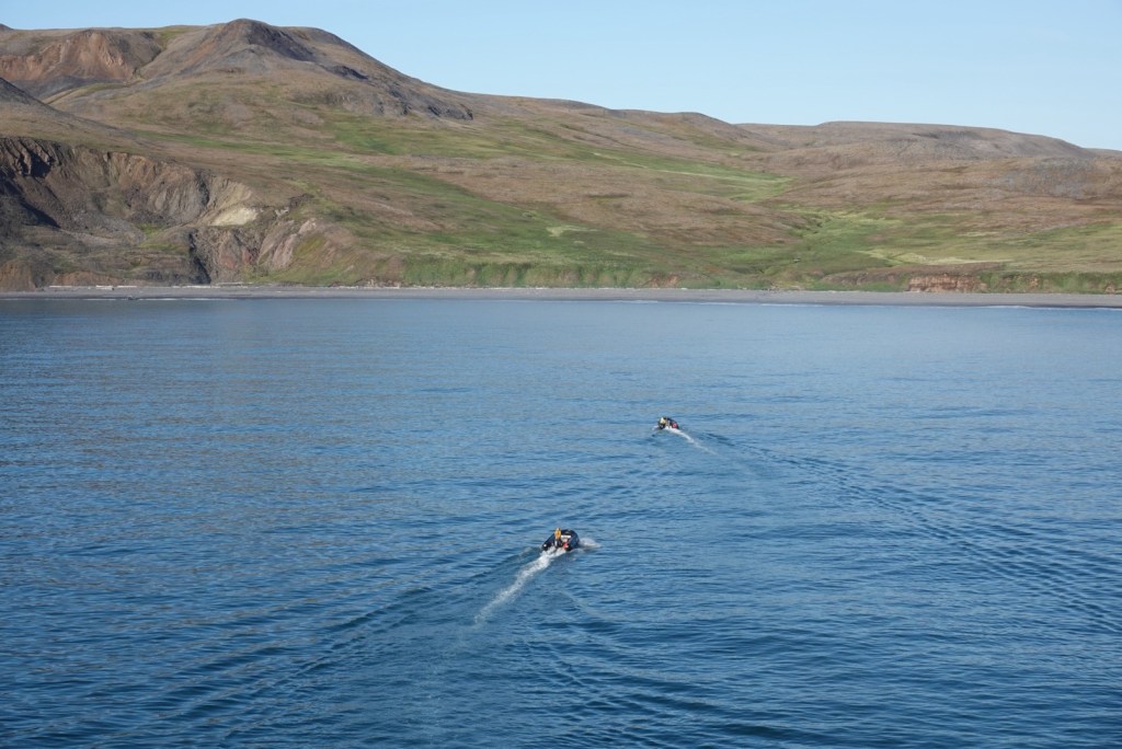
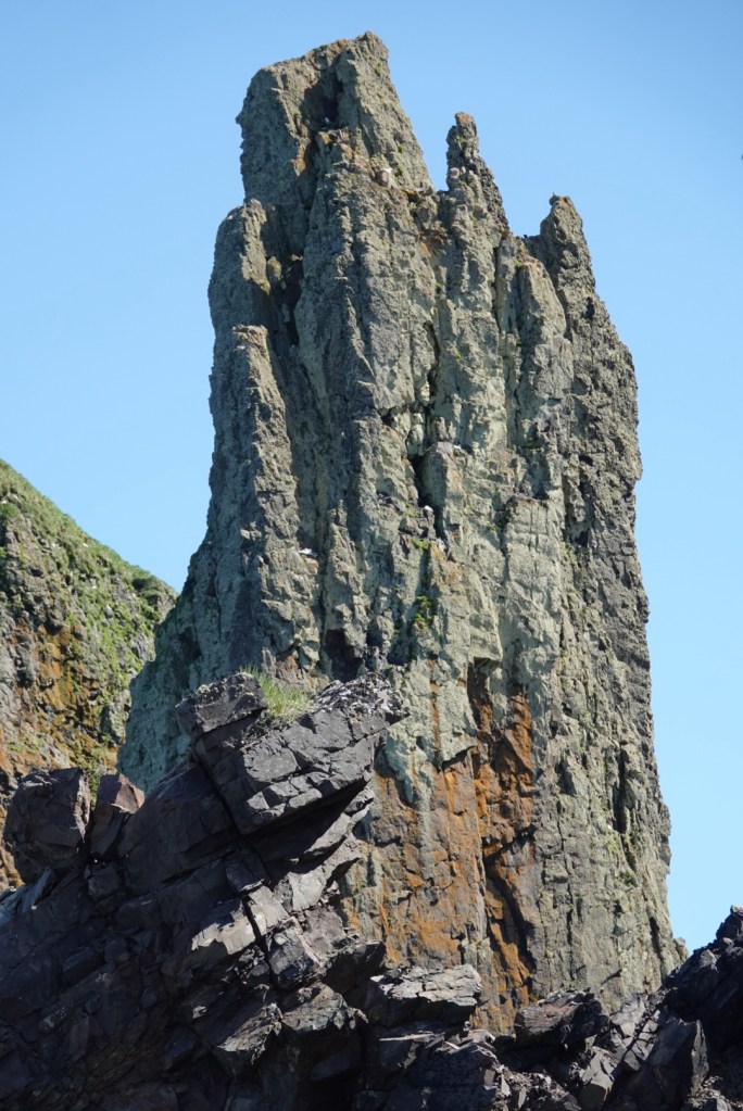
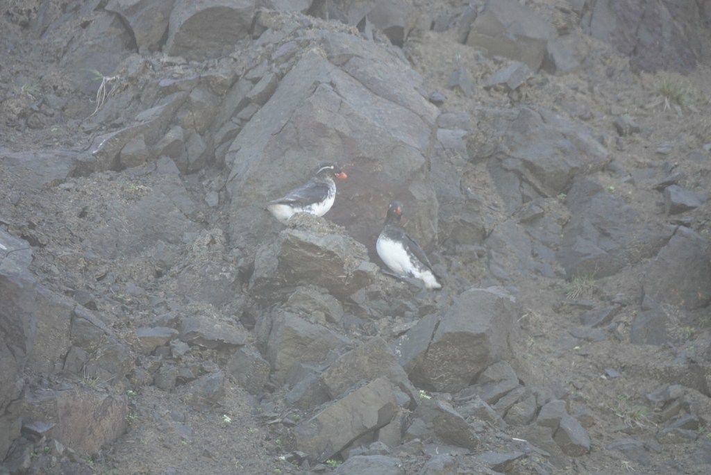
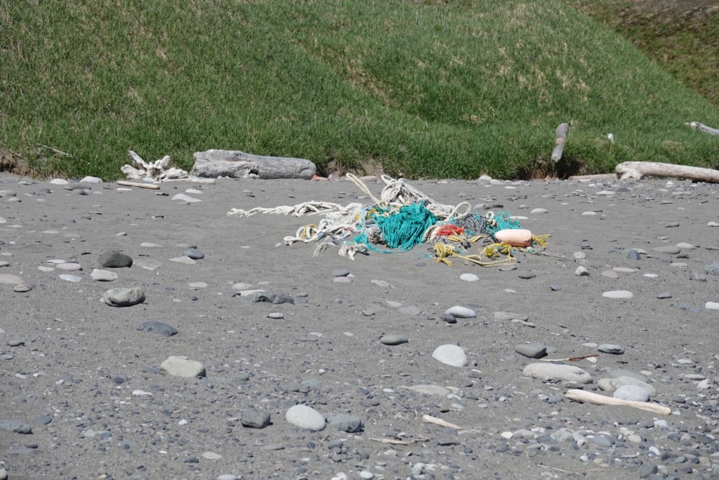
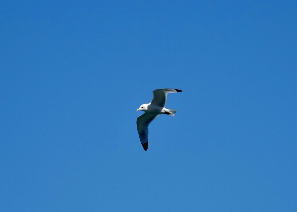
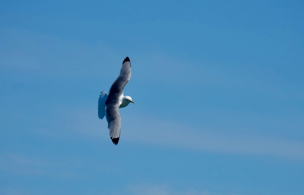
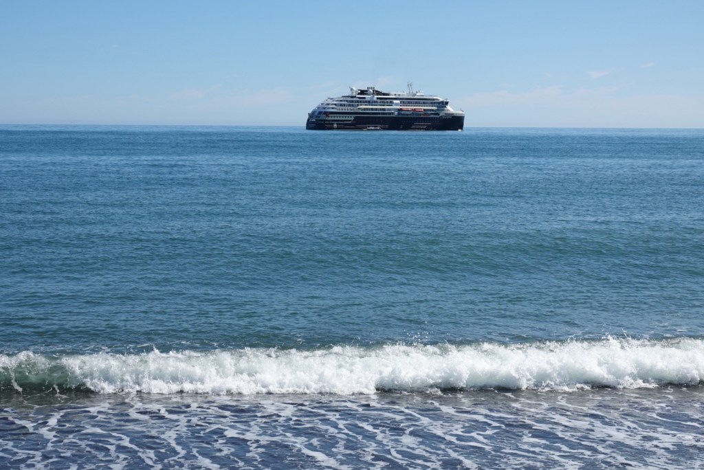
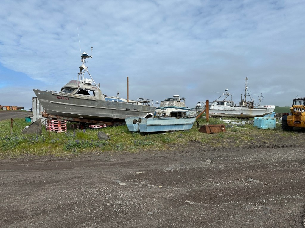
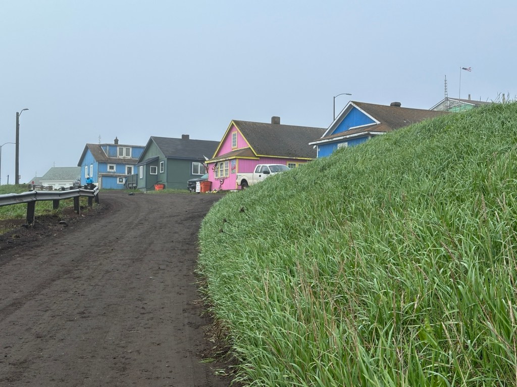
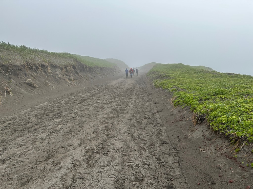
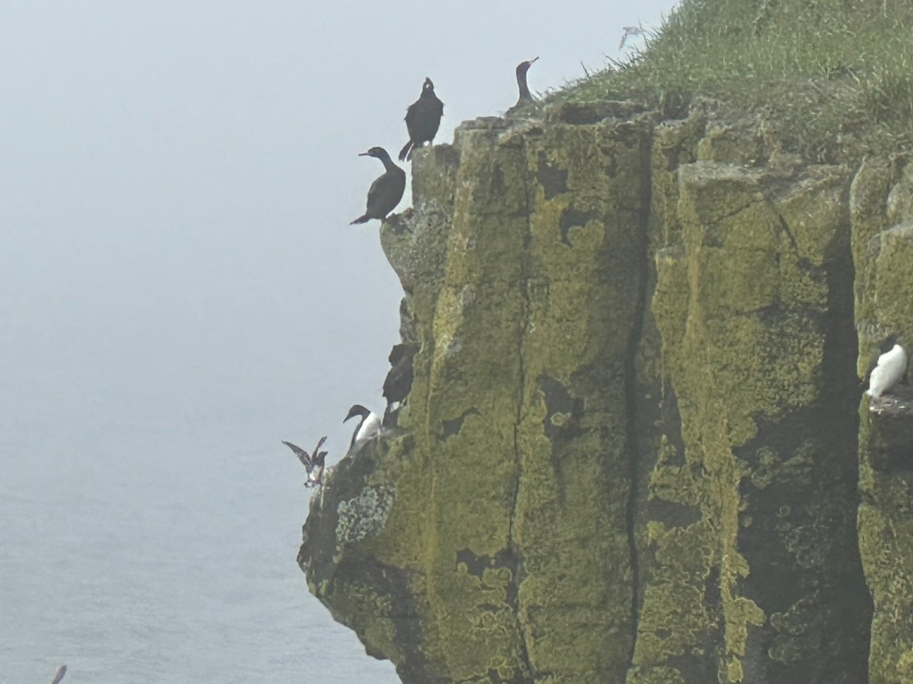
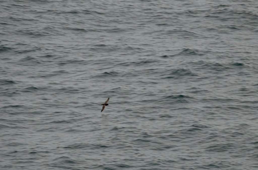
On this day, we are sailing northeast to arrive in Nome tomorrow morning. The weather is sunny, but there is nothing to see but open ocean and seabirds. We hope to see Orcas, but not as of this writing.

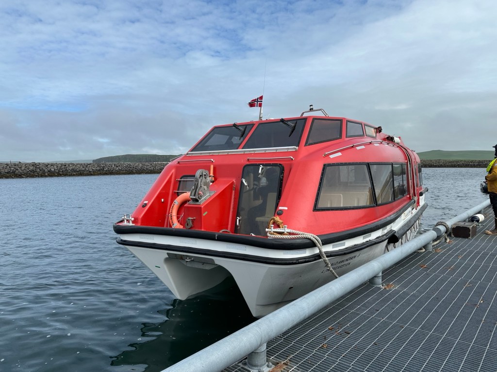
Here is more about the ship. The Roald Amundsen and its sister ship, the Fridtjof Nansen, were built in Norway in 2019 and 2020. We wrote earlier about the hybrid drive system and some of the features that we learned about while visiting the bridge. Further information was gleaned from a Q&A session with the ship’s officers.

The ship makes its own fresh water by taking in seawater and purifying it through reverse osmosis. The ship needs to be traveling at higher speeds (>10 knots?) in order to take on seawater. Production of fresh water is on the order of tens of cubic meters per day!

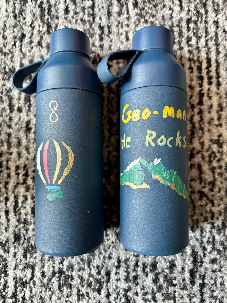
There is no single-use plastic on board the ship. We were given nice insulated water bottles to keep; Clare decorated them! Chilled and filtered water refill stations were placed on each deck. One could also drink the tap water in the stateroom, but it had a chlorine flavor.

Our personalized water bottles

Gray water, sewage, and food waste are treated onboard and discharged at sea in accordance with maritime regulations. We were told that this effluent is essentially drinking-water quality.

There are about 150 crew on the ship, which can accommodate up to 530 passengers. On this voyage, only around 280 guests are traveling. While discussing the food, which has been excellent, with a crew member, we learned that the ship is only re-supplied with provisions every two to three months. It seems amazing that so much of the food appears to be fresh, although perhaps most has been frozen.

The main restaurant is a breakfast and lunch buffet, but a-la-carte table service for dinner. Menus are only available through an app, not printed. The alternative all-day lunch restaurant has burgers and various small plates. The fries were quite good! The main restaurant assigns a table via computer at the maître d’ stand.

A table ticket for the buffet breakfast

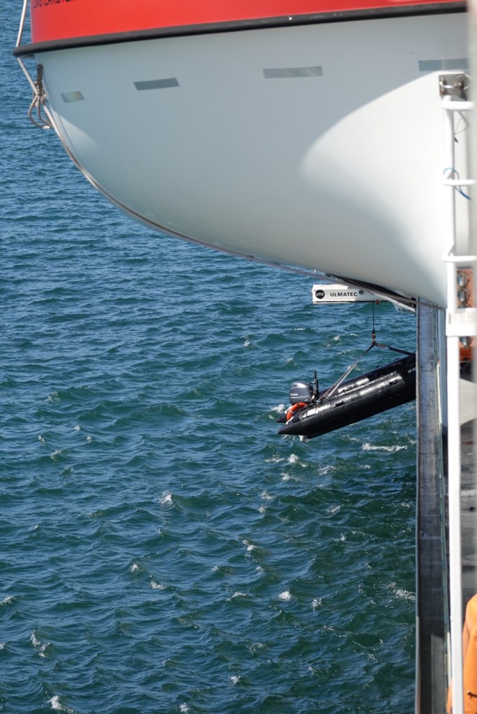
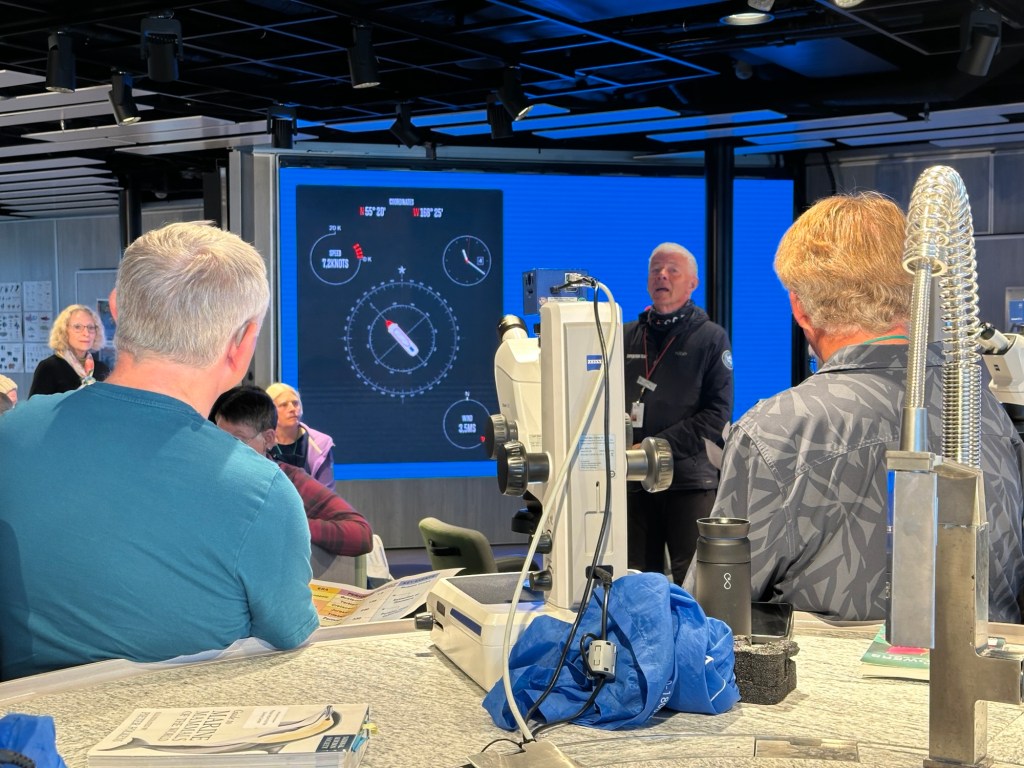
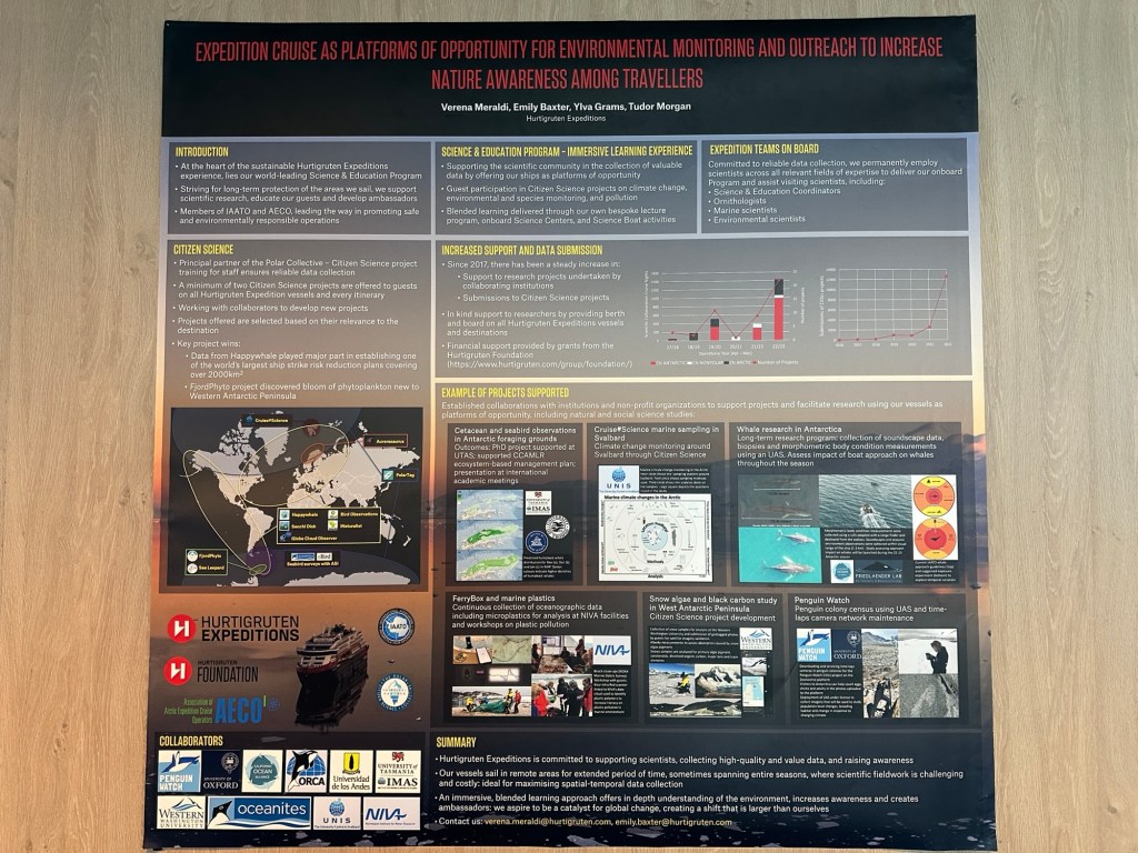
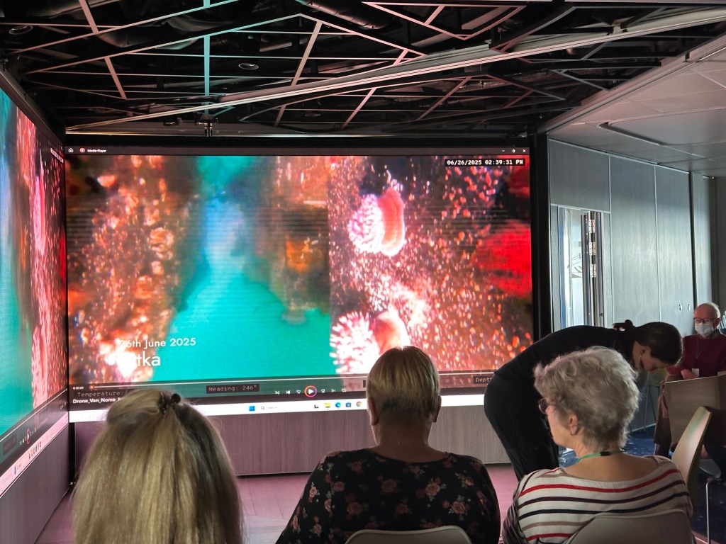
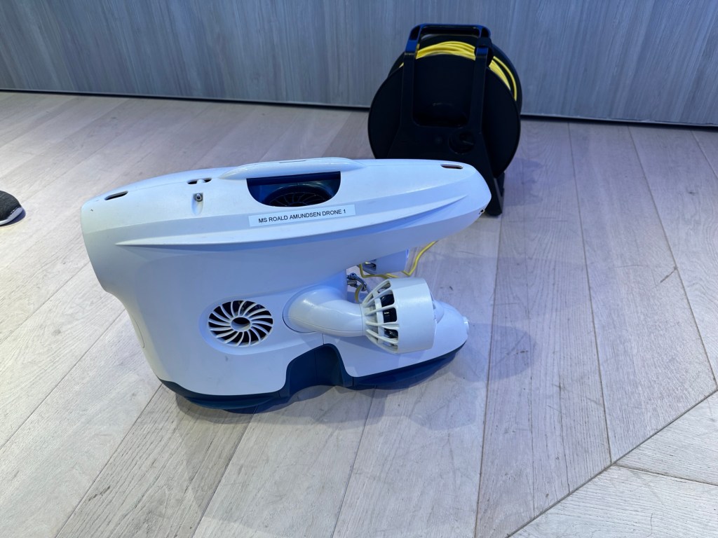
The ship features various science activities involving guests in both collection and analysis of samples. We only went to the lectures on subjects that were interesting and (or) unknown to us. The geology presentations were too elementary for us (not a surprise), but the speaker was entertaining. David was the comedian (and geologist) of the science team!

A poster outside the main restaurant explaining the types of scientific activities that Hurtigruten encourages and the cooperating organizations.

Last night, an auction was held to raise some additional funds for the Hurtigruten Foundation. One item auctioned was the pride flag that was flown on the ship during June. It was signed by the expedition crew members.

The lecture hall was used for numerous presentations, many of which were simultaneously translated for the German guests. Most were also streamed to the televisions in the staterooms.

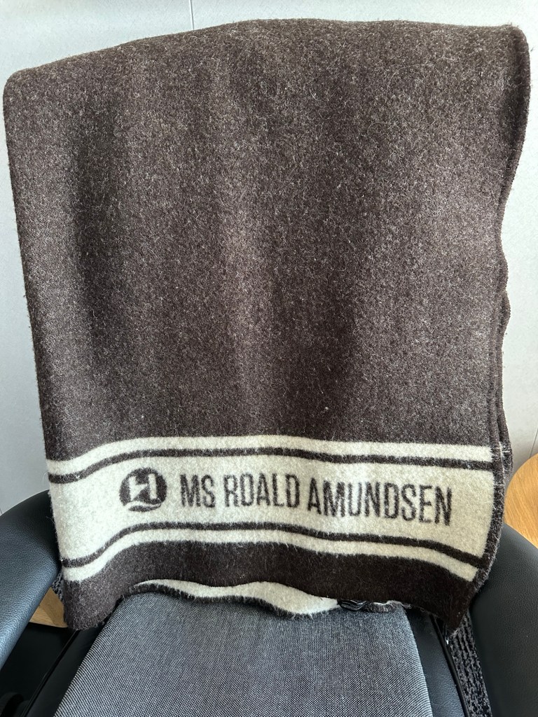
There was a nice wool blanket in our stateroom that we never needed!

Saint Matthew Island, July 6

Fewer people visit Saint Matthew Island every year than climb Mount Everest! We’re in an elite group.

Saint Matthew Island in the Bering Sea has never been inhabited by humans, at least not for any extended period. A Russian expedition landed here in the early nineteenth century and named some geographical features. During WWII the U.S. Coast Guard set up a manned LORAN station and moved a couple dozen reindeer here to provide food. The reindeer population eventually grew to 6000, but there was a great die-off in 1963 due to extreme winter weather and lack of food. The last reindeer died in 1981. The geology is not the same as on Saint Paul Island, consisting of Cretaceous and early Cenozoic calc-alkaline volcanic and volcaniclastic rocks.

The ship anchored near the north end of the island
Fascinating craggy cliffs

We never imagined walking along a beautiful beach on a perfect sunny day in the middle of the Bering Sea. The crew exclaimed how rare this day was — none had been here when it was this sunny. We were too warm in our Arctic gear, but no one complained. How could we?

We learned from our guide Lancy, an ornithologist, that we might see two rare birds on this island, a sandpiper and a bunting. We saw both!

A beautiful last excursion. It is predicted that the weather in Nome will also be dry and sunny when we arrive the day after tomorrow.

Saint Paul Island, July 5

When we awoke to thick fog, the ship had already anchored near St Paul Island, population 417, in the middle of the Bering Sea. The ship had cruised through the night. We are closer to the international date line than we had realized.

Location of ship docked near Saint Paul Island, one of the Pribilof Group

We Sea Otters were called to take the tender boats to the dock early.

The volcanic island was covered with dense green foliage and wildflowers. No trees.

The town was small, but nice, with good gravel and sand roads. We did wish to see street name signs.

We wandered around lost for a while, but finally found the correct road.

Our goal was the Zolotoi Seal Sanctuary, and we were not disappointed.

Video of seals from a blind set up by the U.S. Fish and Wildlife Service

Another goal was the bird cliffs.

Plaque commemorating the forced relocation of native peoples from these islands after the Japanese attacked during WWII

In the Explorer Lounge, after dinner, some of the crew performed in a makeshift band, featuring electric guitars and an electronic drum kit. Clare and others danced to a few familiar tunes.

Independence Day, and a sea day

We are in the Bering Sea, and the rocking of the ship has increased. It’s like in exercise class, when strengthening your balance, except with both feet under you. Good core exercise?

When we were at breakfast, the room steward left this on the mirror for us.
Brown sea bird. We’ve seen lots of these.
Vegisir, or Viking Compass. “Whoever carries this sign will never lose their way in storms or bad weather, even when the way is not known.”

This compass, made of stone from Norway, is on the floor of the fourth deck of the ship at the base of the atrium adjacent to the aft elevators, a comfort to us all.

Since it’s a sea day, the crew have lots of presentations. The first one was about all the natural stone used on the ship. Somehow, this was also woven into an explanation of geologic time, using the vertical stairwell as an approximate scale for time. For example, deck 3 was Precambrian. So were decks 4-6. Deck 7, the Cambrian, was the first sign of complex life. The speaker got into all the major extinctions, and overall was entertaining.

What we enjoyed was the identification of the stones used on various surfaces.

Of course we had already noticed the natural looking floors; we asked an officer about it. He confirmed the tiles were natural but didn’t know the name of the rock type in English.

We watched a lecture about sea otters and nuclear bomb testing in the Aleutian Islands in the 1950s. Strange combination, but it made sense.

Then cake for all in the lounge on deck 10 to celebrate July 4th.

On the screens
On the napkins