Moses took us to the Cruz Bay ferry dock, our last ride with him. I think we’ll miss him. He enjoyed surprising us with bizarre proclamations about humanity or fate or where our hearts really lie. He would pound on the steering wheel until we reacted, arguing when we didn’t say what he wanted.
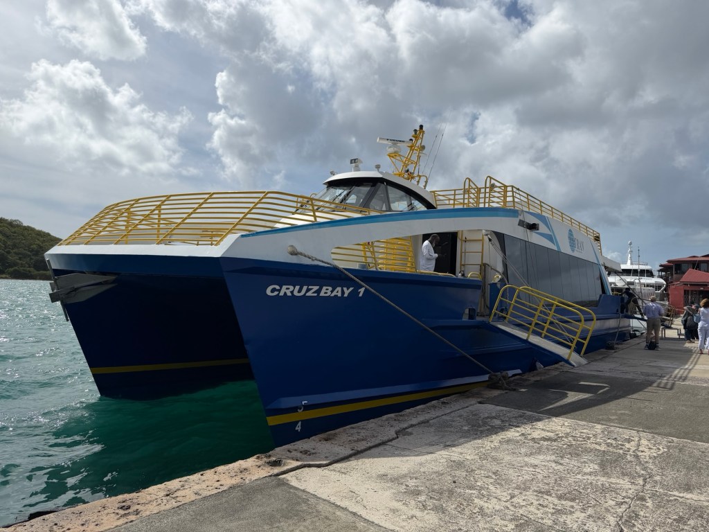
Boat for ferrying between Cruz Bay, Red Hook, and Charlotte Amalie
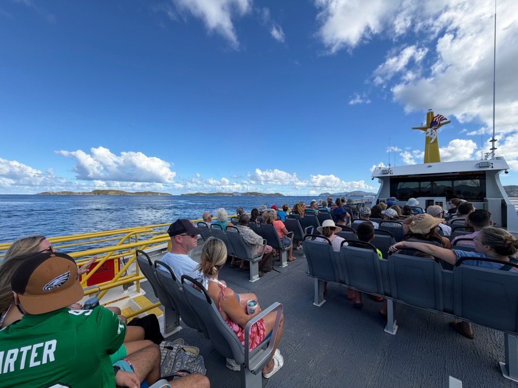
The first ferry ride was about 45 minutes and uneventful. We went to the inside area for the air conditioning. When we disembarked we ran into a geology professor from Fort Collins and discovered that we had many acquaintances in common; it is indeed a small world! We left our luggage with the ferry people and went for lunch at the French Quarter Bistro during our 2 hour stay before the next ferry ride.
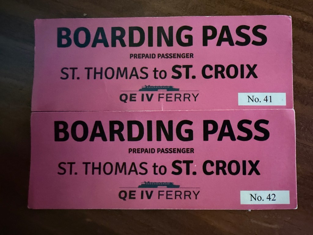
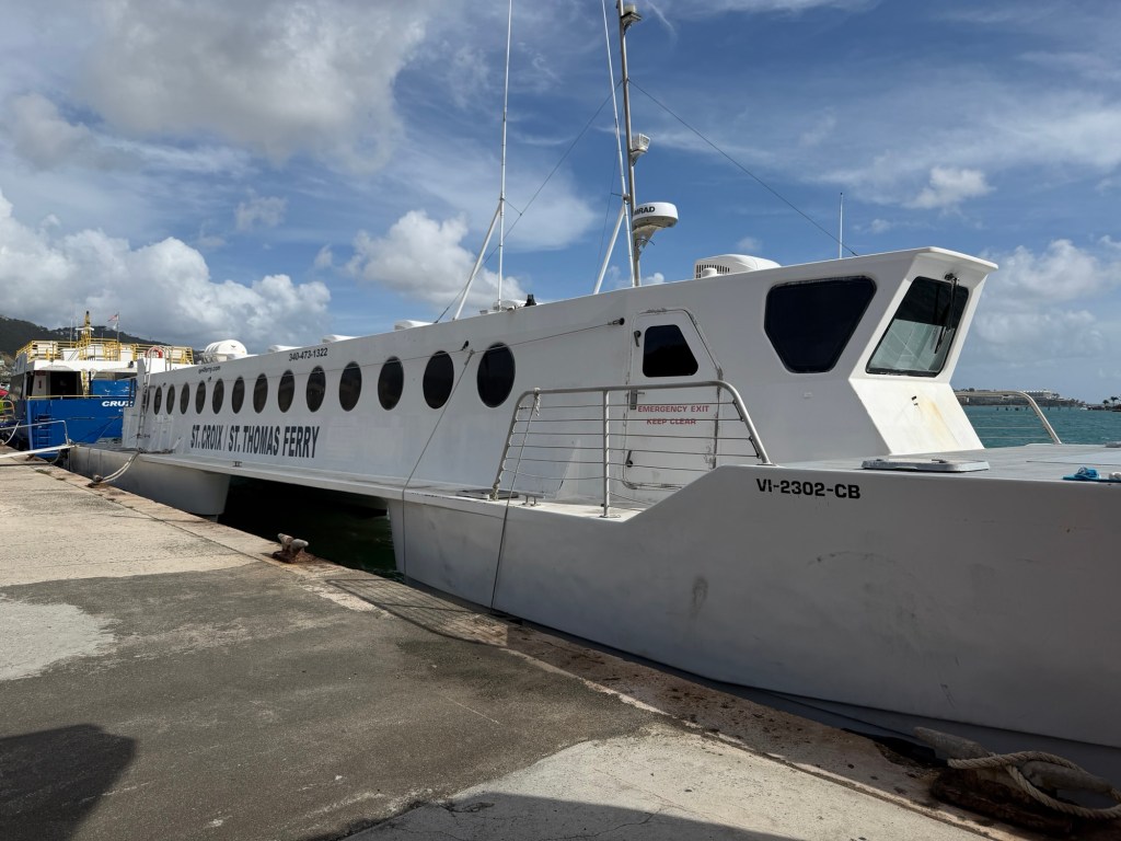
The QE IV ferry for the St. Thomas (Charlotte Amalie) – St. Croix (Christiansted) crossing
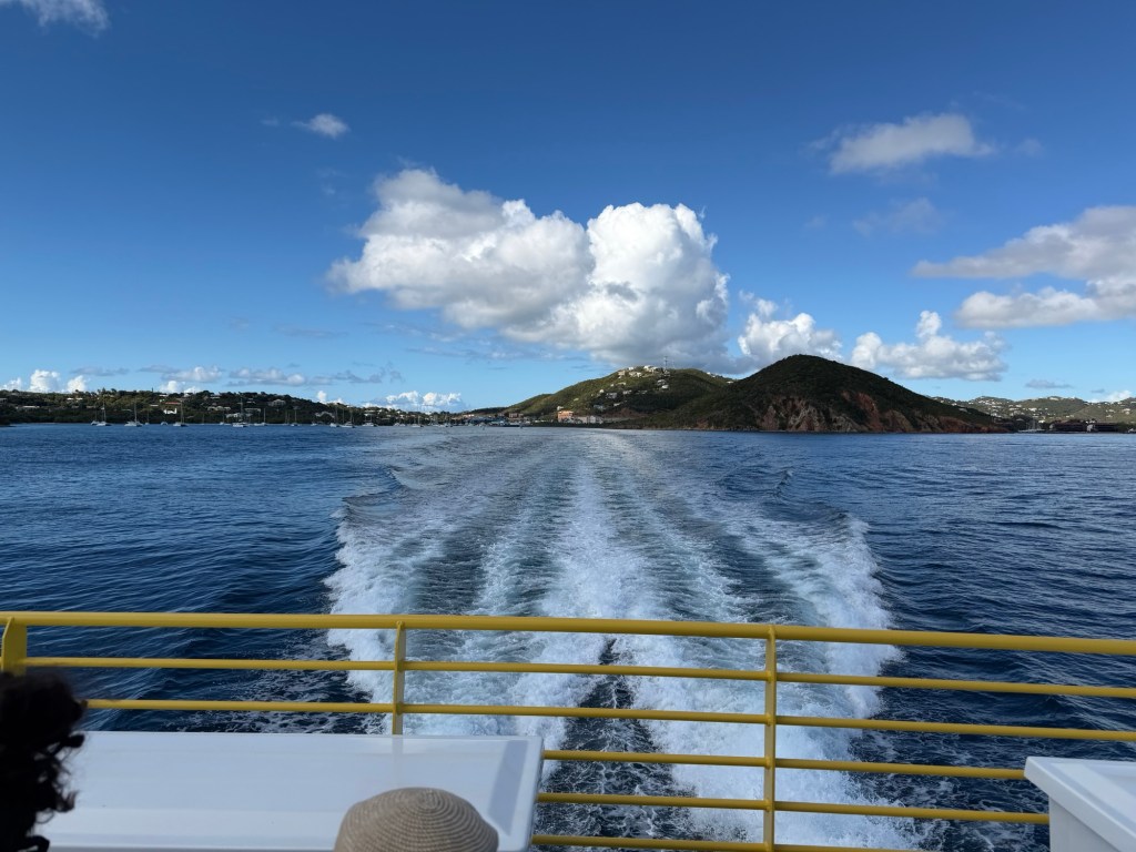
The next ferry was two hours of bouncing in rough seas. See how narrow the boat is? We were amazed that no one seemed to get sick. Don’t watch the video if you tend toward seasickness!
For almost 2 hours, we experienced the rather rough ride.
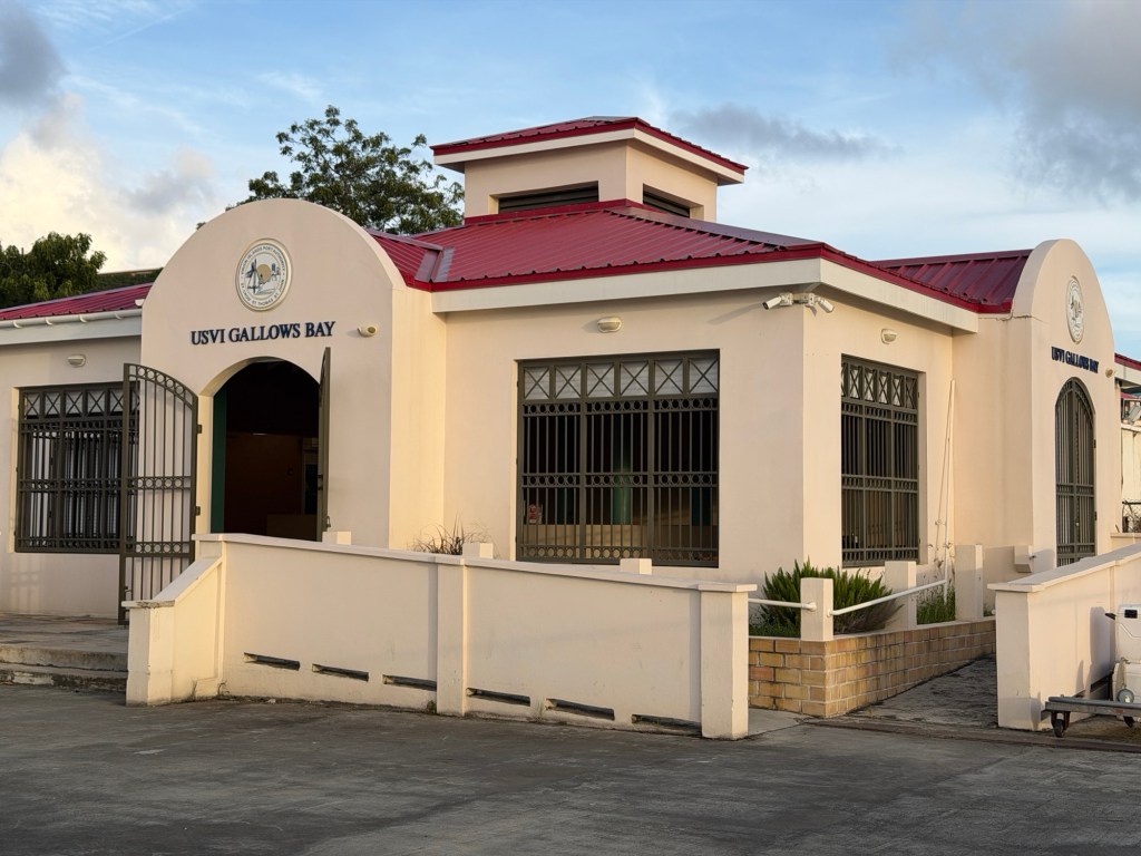
Finally we made it to St Croix, our final island on this journey. Gallows Bay was the site of public executions in Danish Colonial (1733-1848) times.
The ferry docked at Gallows Bay in Christiansted.
We got off the ferry and onto a taxi for a half hour ride to our hotel.
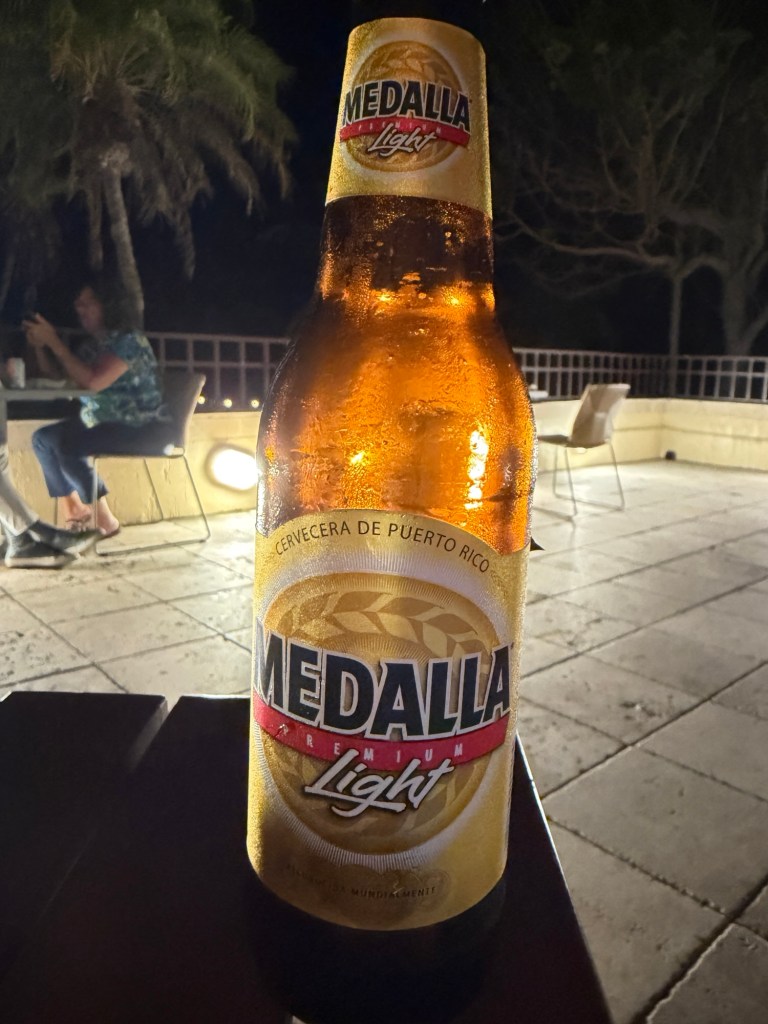
A beer from Puerto Rico
After a taxi ride from Gallows Bay, we arrived at the Carambola Beach Resort around sunset. We ordered a pizza and drinks for dinner. It was a bit surprising that the bar was sold out of local VI beer!
Our first morning on St John, we woke to what sounded like a deluge. We looked out the window to see rain pouring down. It lasted about ten minutes. When Moses, our taxi driver, picked us up we mentioned the storm, but he said, “That was no storm, it was just a sprinkle.” I guess perspectives are different if you’ve lived through hurricanes. We experienced another sprinkle the next day and joked about what to call it.
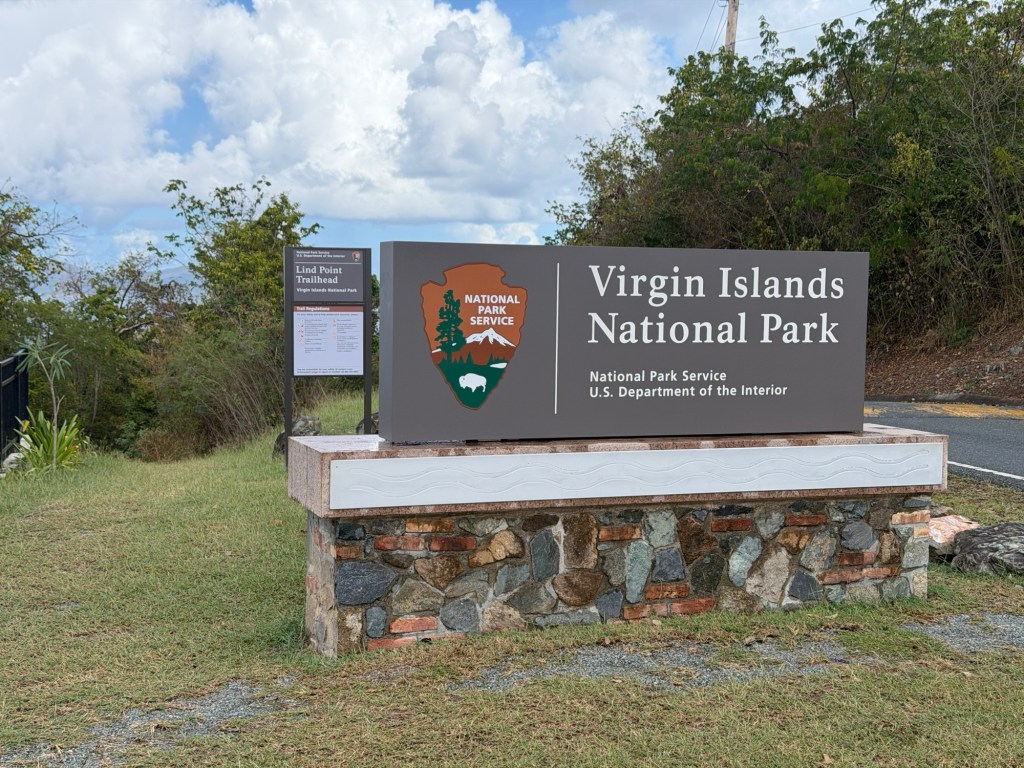
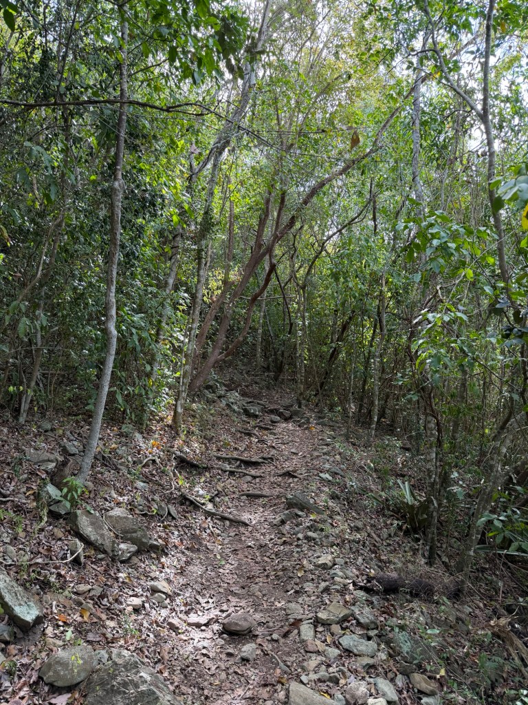
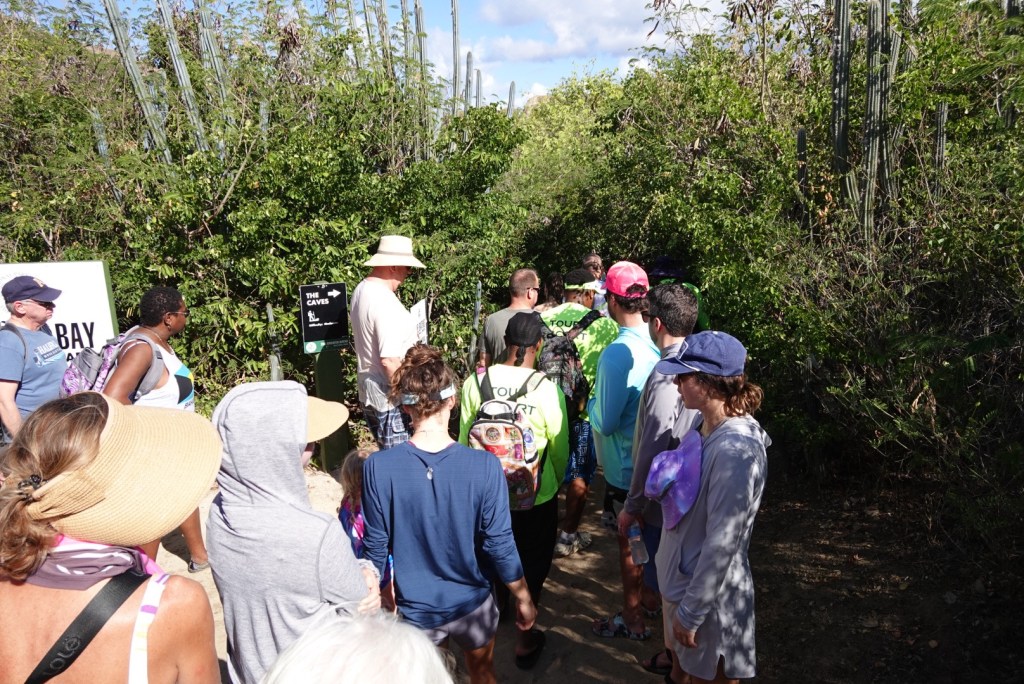
This day, Moses drove us to a trailhead in the national park.
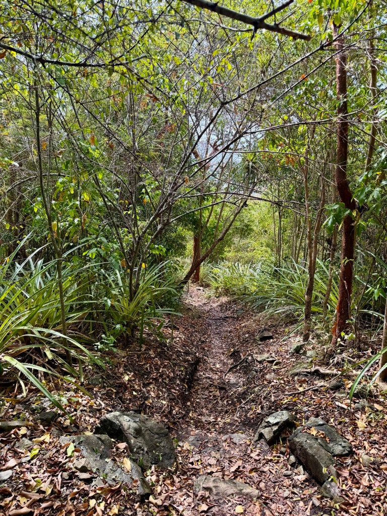
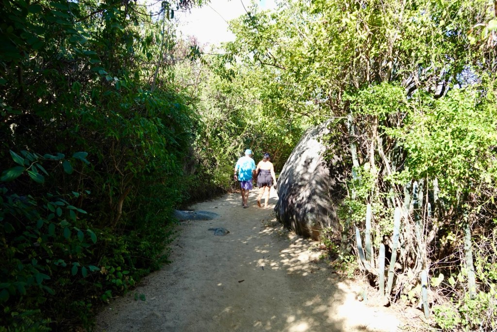
The trail was super steep at first, but Jenn had told us it leveled out, so we weren’t worried. The views were nice.
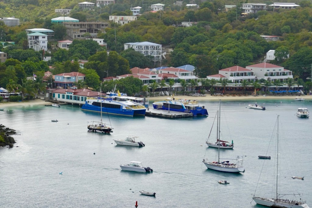
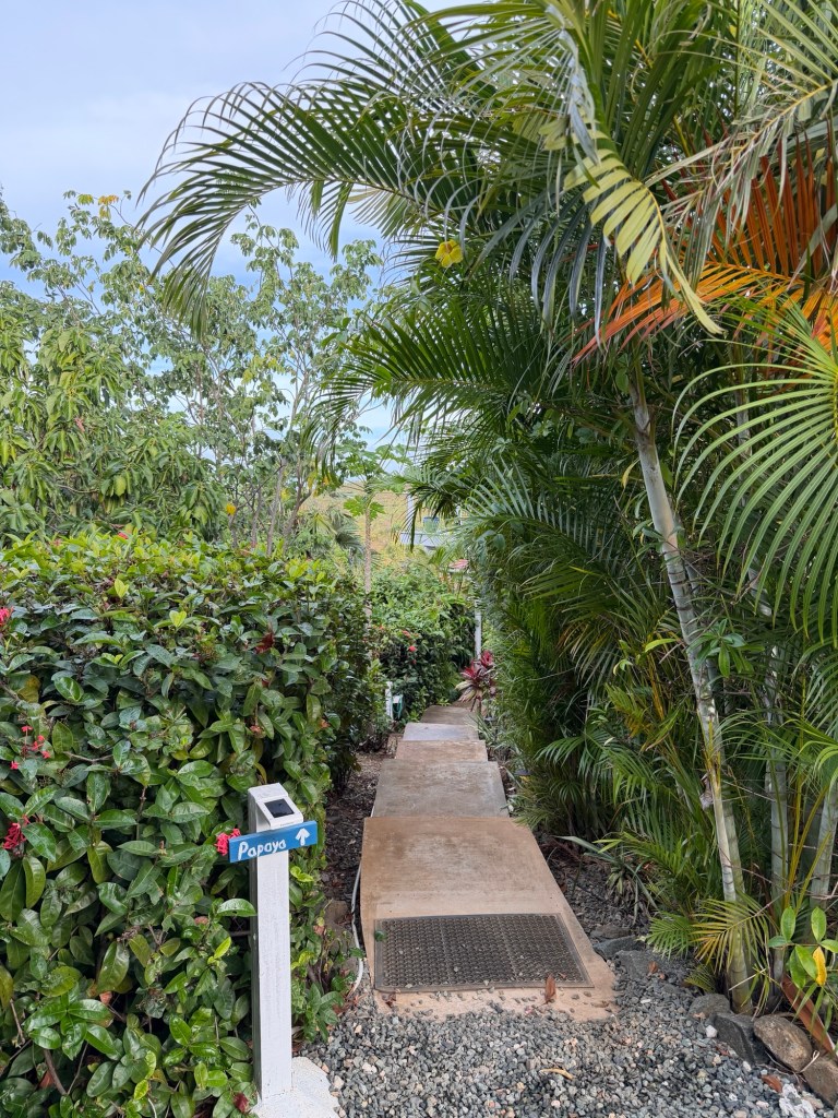
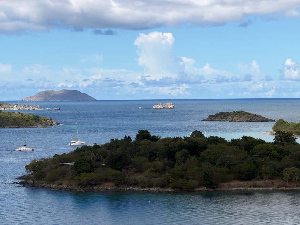
Ferries docked at Cruz BayOur Island Abodes Papaya Suite is probably on this hill.Red Hook on St. ThomasLittle St. James and Great St. James islandsLittle St. James is now often referred to as Epstein Island, unfortunately.
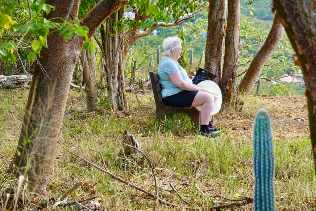
At the top, Clare took a break in part because she got blisters snorkeling yesterday. Her feet were hurting, and she wore tennis shoes rather than the water hikers we bought for this trip.
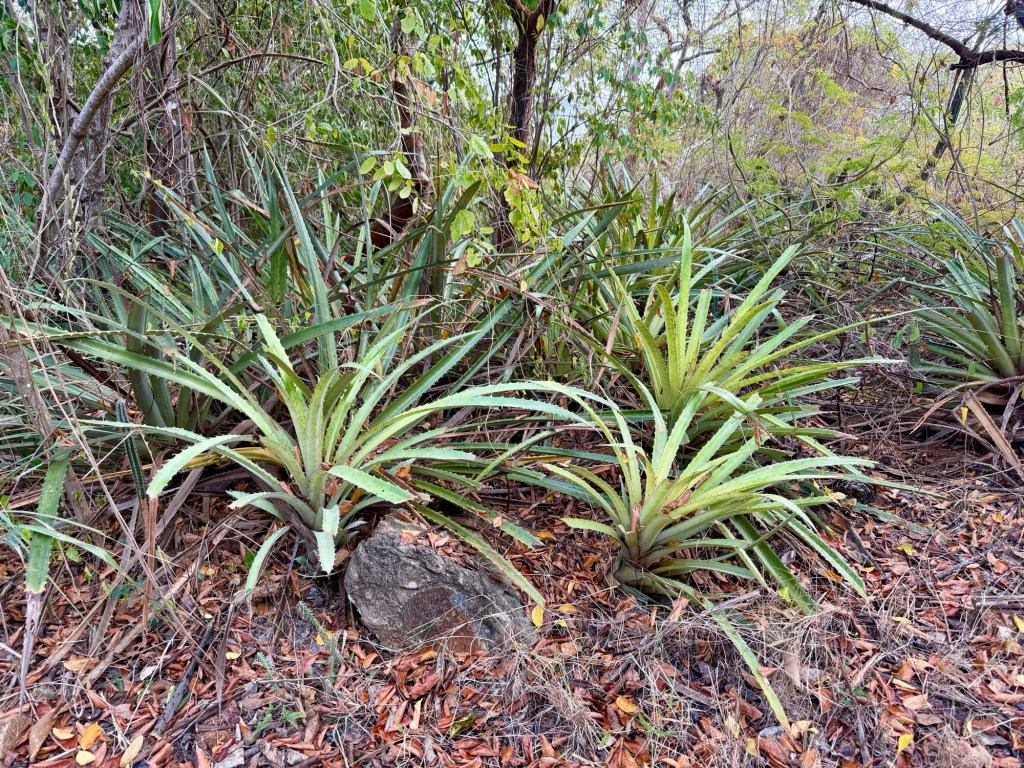
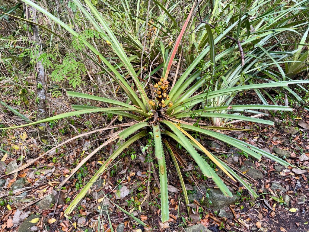
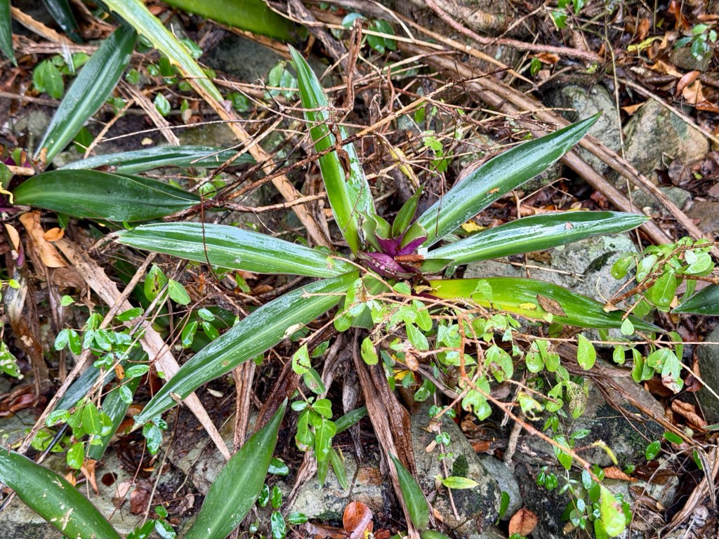
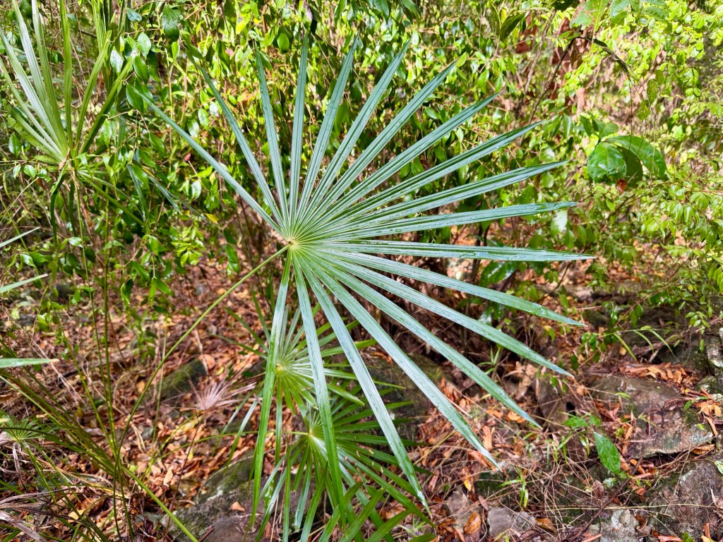
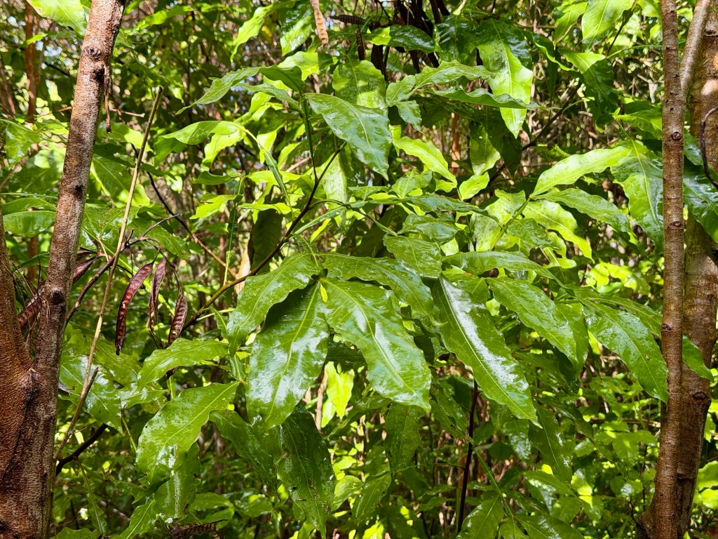
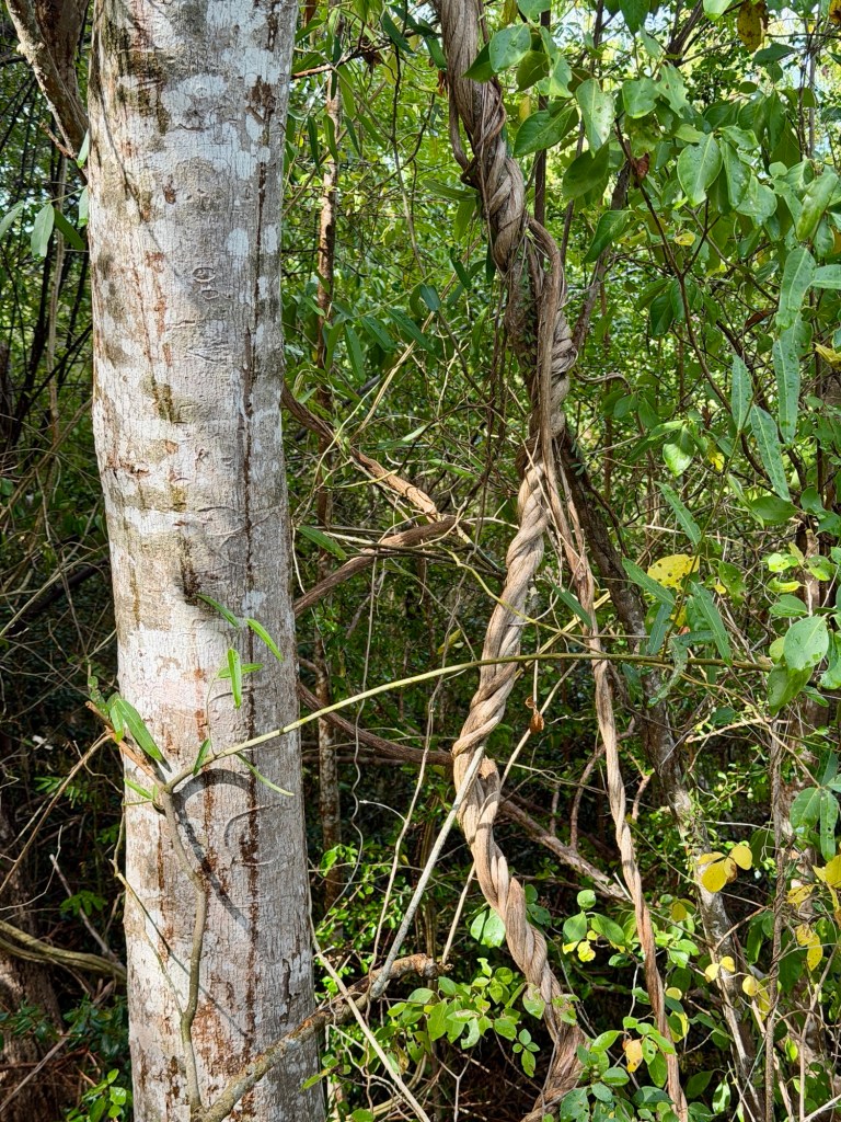
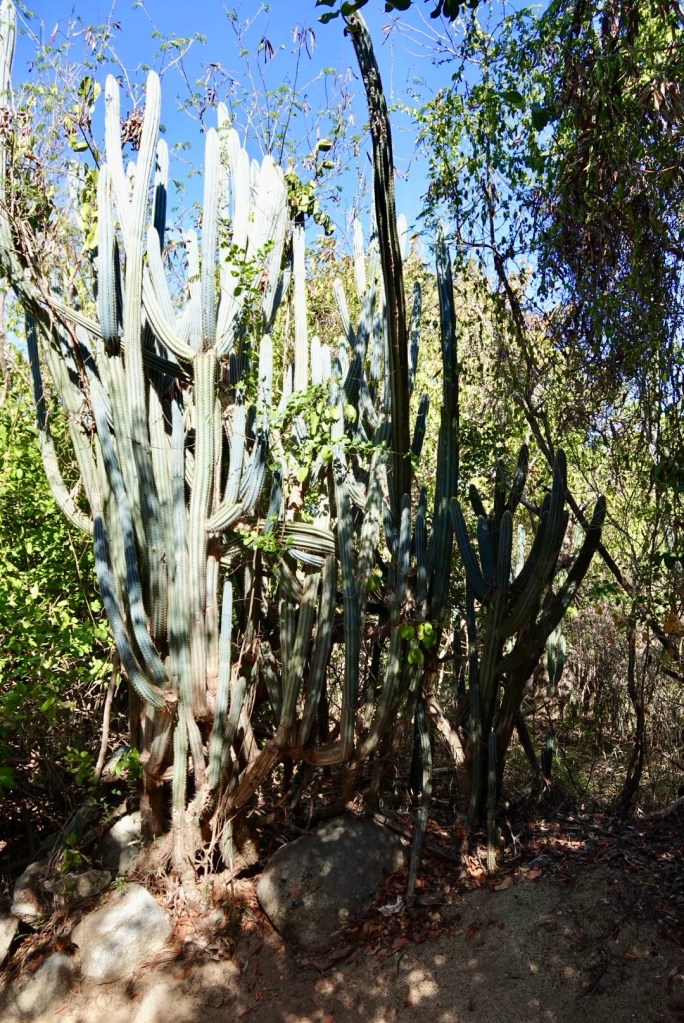
Nice hike, and it did level out somewhat. Very interesting plants!
Then, it started sprinkling. Pouring. We were drenched in minutes, but it kept coming down. We kept walking—what else are you going to do? We yearned for our umbrellas which were left in the room.
The plants looked different with a coating of fresh water.
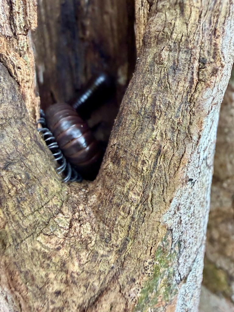
Big millipede in a treeRopy vines
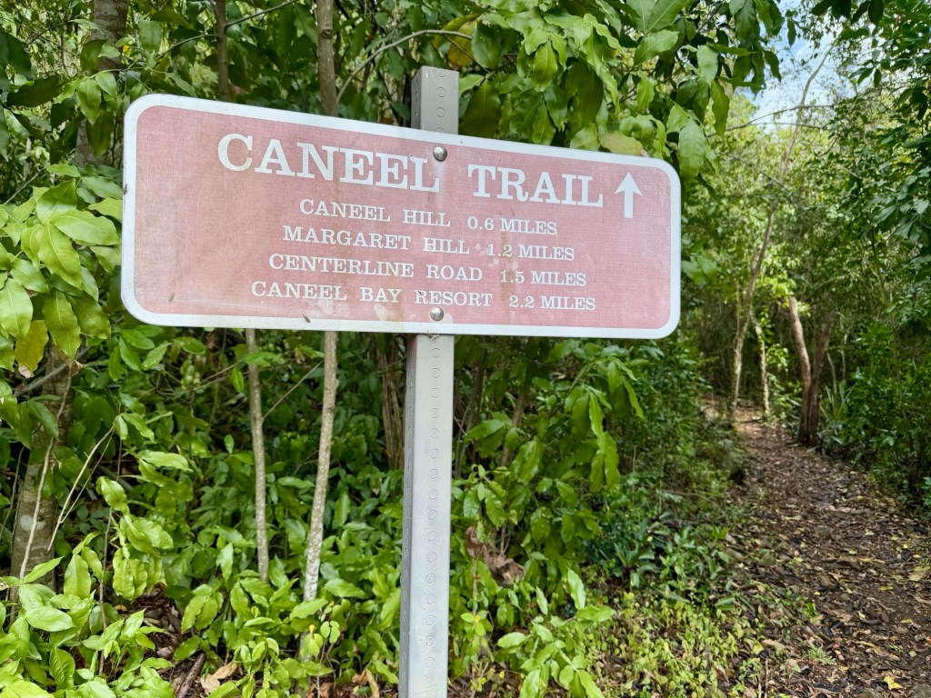
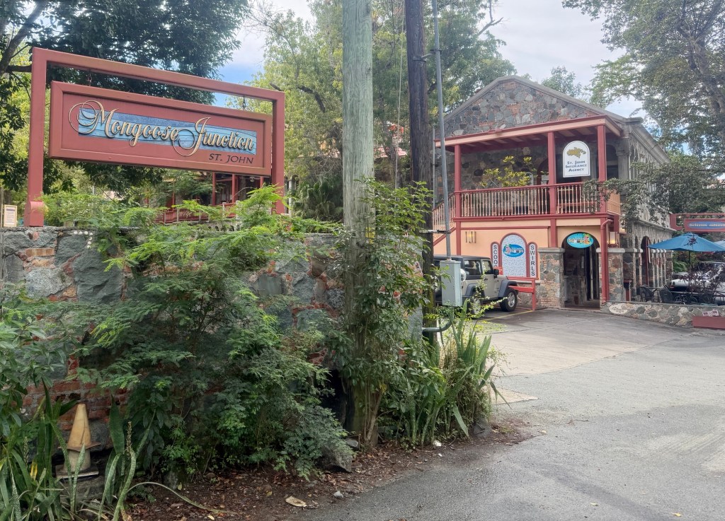
On the way down, the trail got steep again and very slippery because of the rainwater on the fallen leaves. It took a lot longer getting down than going up!
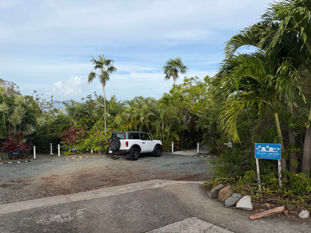
At the bottom of the Caneel Trail, we reached the trendy shops at Mongoose Junction, where we bought bottles of water for $4 each! Then burgers and fries for lunch at The Tap and Grill before going to buy groceries for dinner.Our Island Abodes condo and the path to the Papaya Suite
We enjoyed fresh Grouper for dinner, with rice and squash. We then made preparations to leave in the morning.
Day trip to Great Britain! Who would have thought?
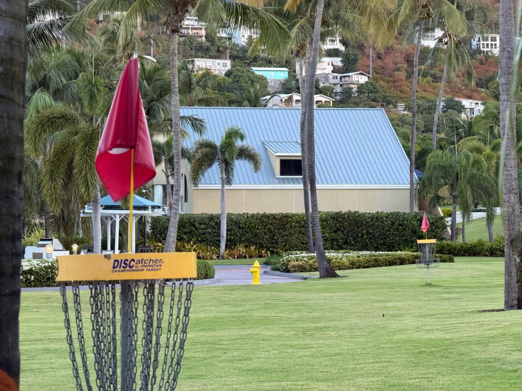
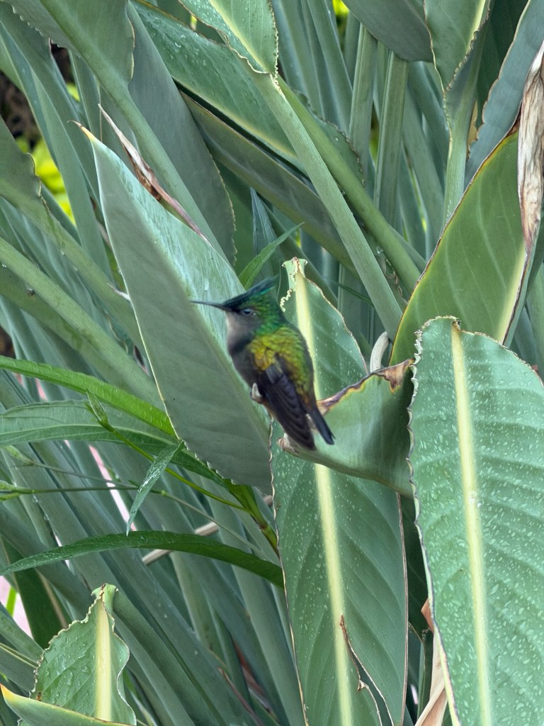
Disc golf course at the WestinAntillean-crested hummingbird
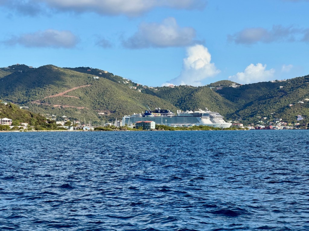
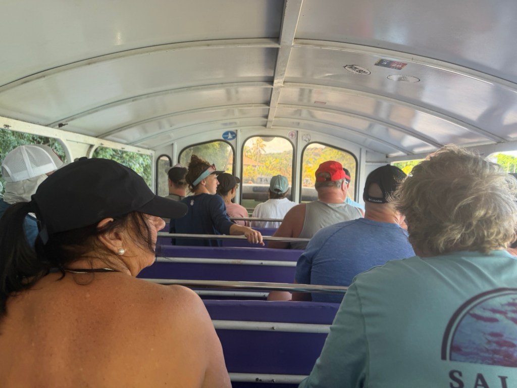
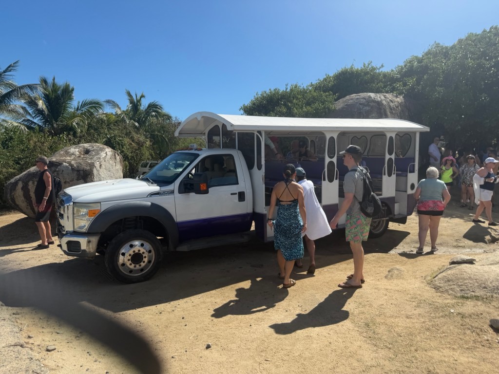
We were to meet our boat at the Westin Resort, which we saw yesterday on our trip with Jenn. A taxi driver named Moses gave us a ride. We had to go through a locked gate where a guard questioned Moses. It felt a bit like a prison for rich tourists, few pathways out of the complex.
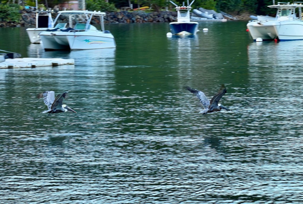
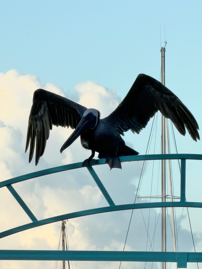
We were entertained by a couple of pelicans diving in the water and posing on the gate as we waited for our group. Tour personnel collected our passports, and we were off.
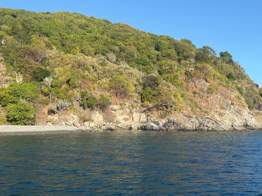
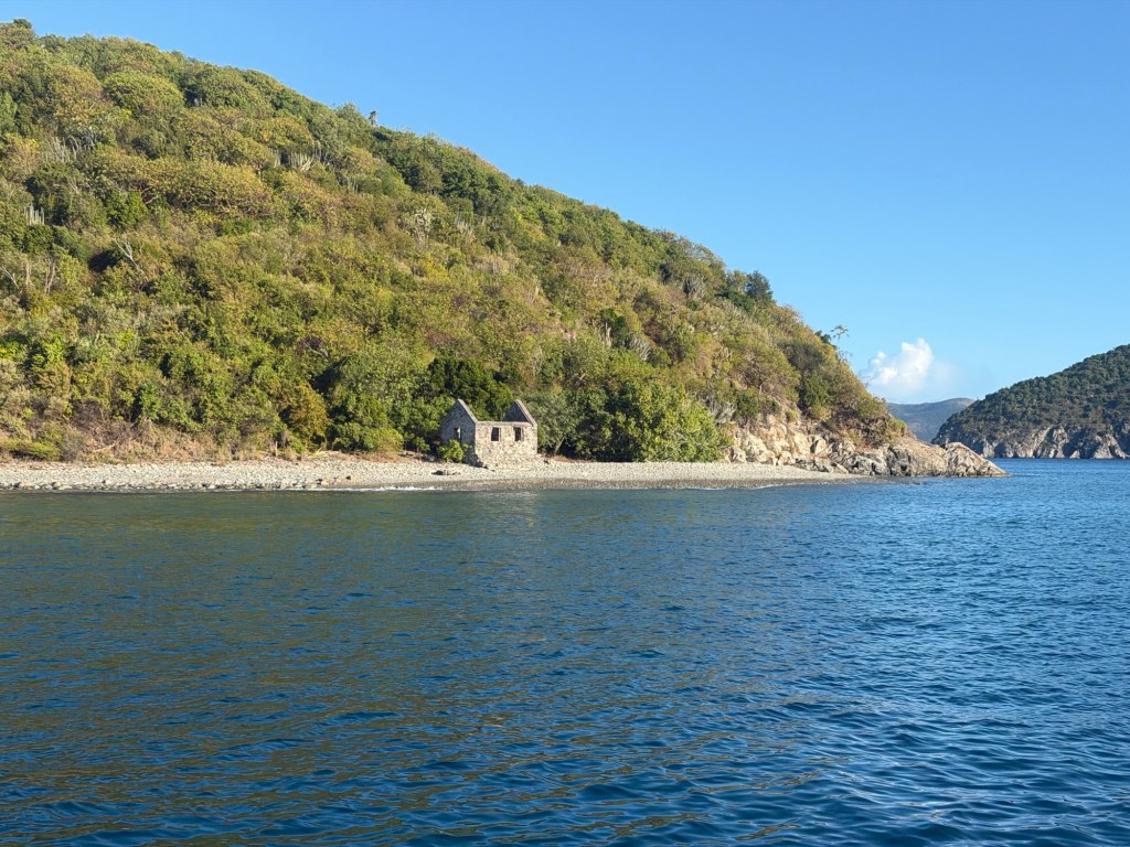
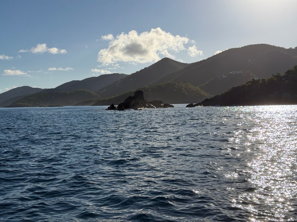
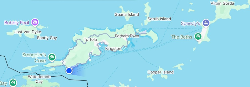
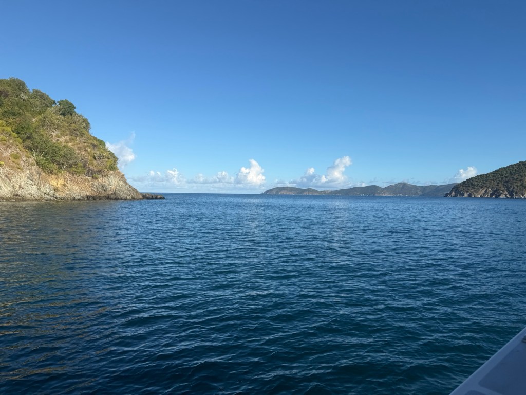
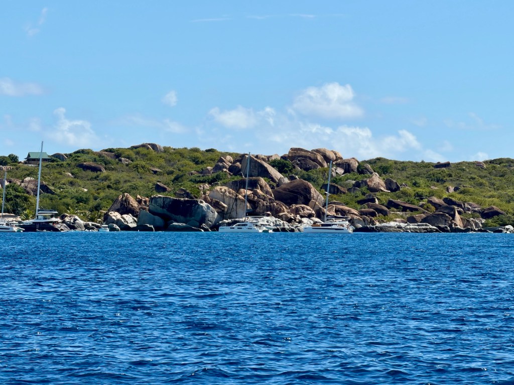
Dry forest on TortolaOld building on TortolaRocks off St JohnMap showing our boat position as we traversed the Narrows on our way to the BathsHeading through the Narrows
The ride out was smooth and pleasant. We went along the border between the U.S. and Britain for quite a way in the water.
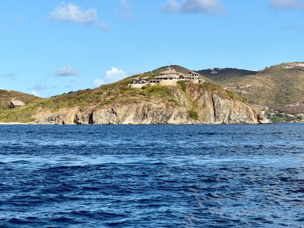
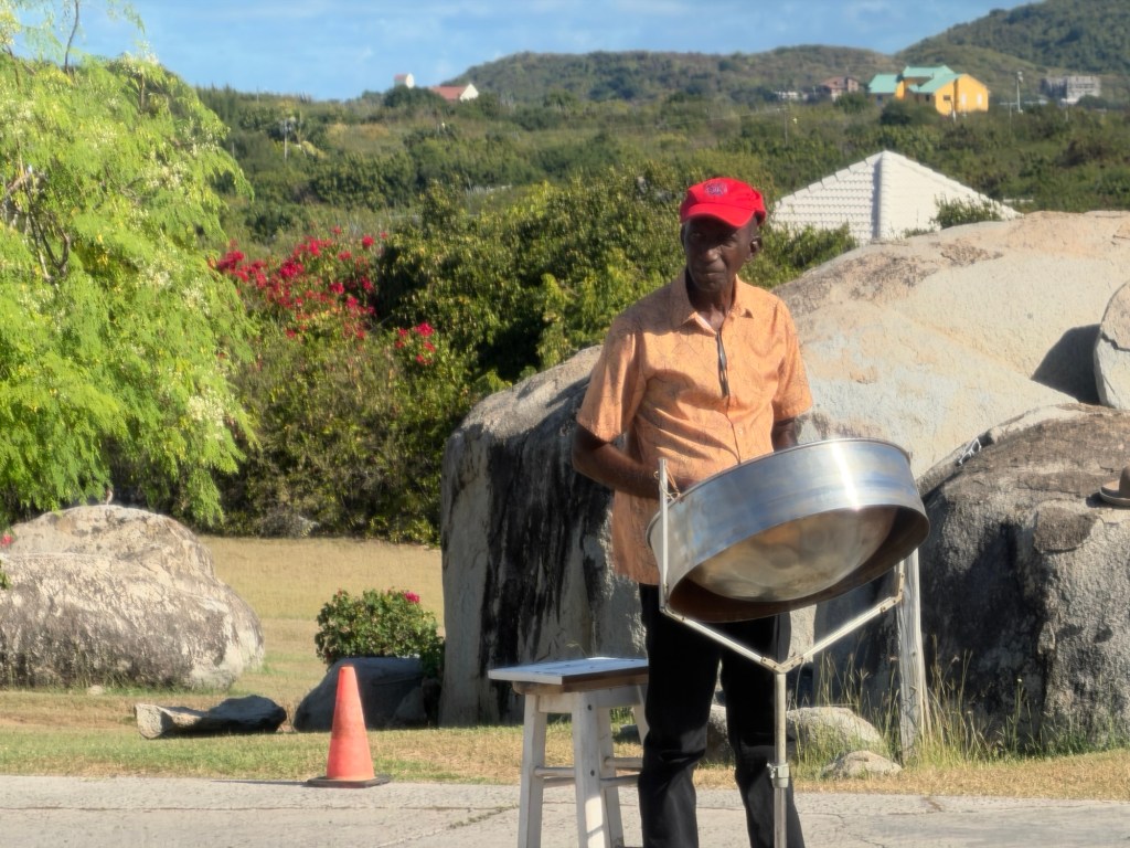
Resort on TortolaOur guide Eric noted the presence of cruise ships in Road Town, suggesting more people might be at the Baths.
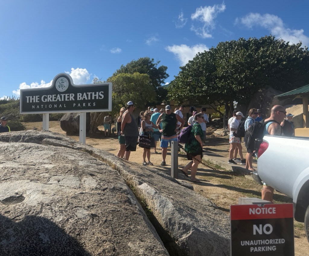
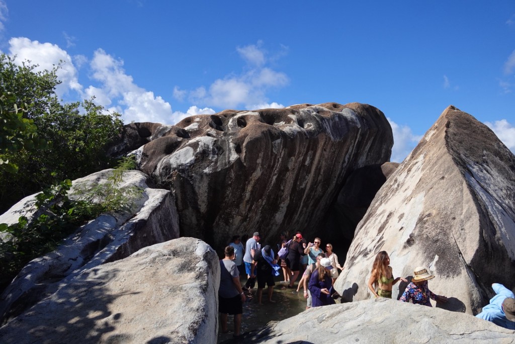
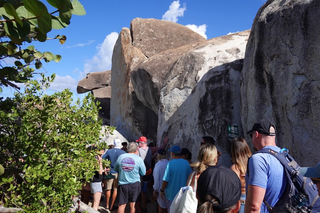
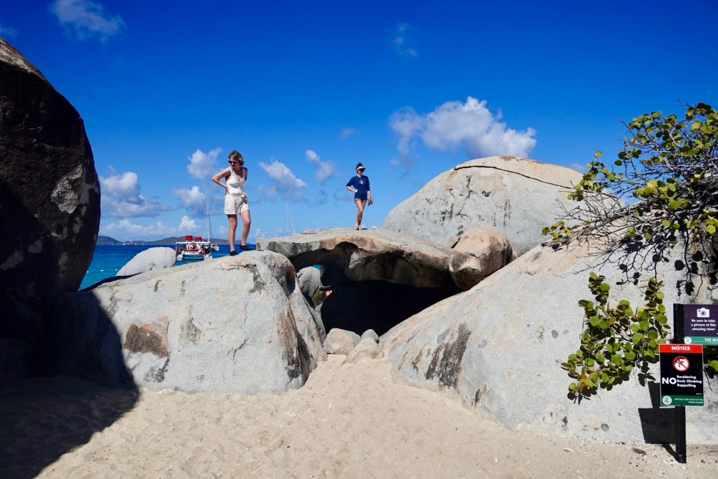
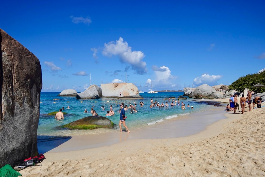
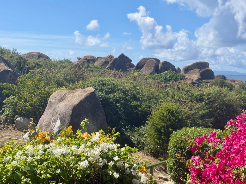
When we got to Virgin Gorda, the captain handled immigration while we put our shoes back on for our visit to the Greater Baths National Park. A taxi drove us to the start of the famous trail through an astonishing jumble of gigantic granite boulders and curved slabs that make up this path through the park.
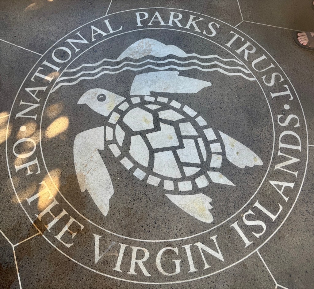
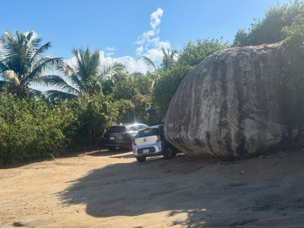
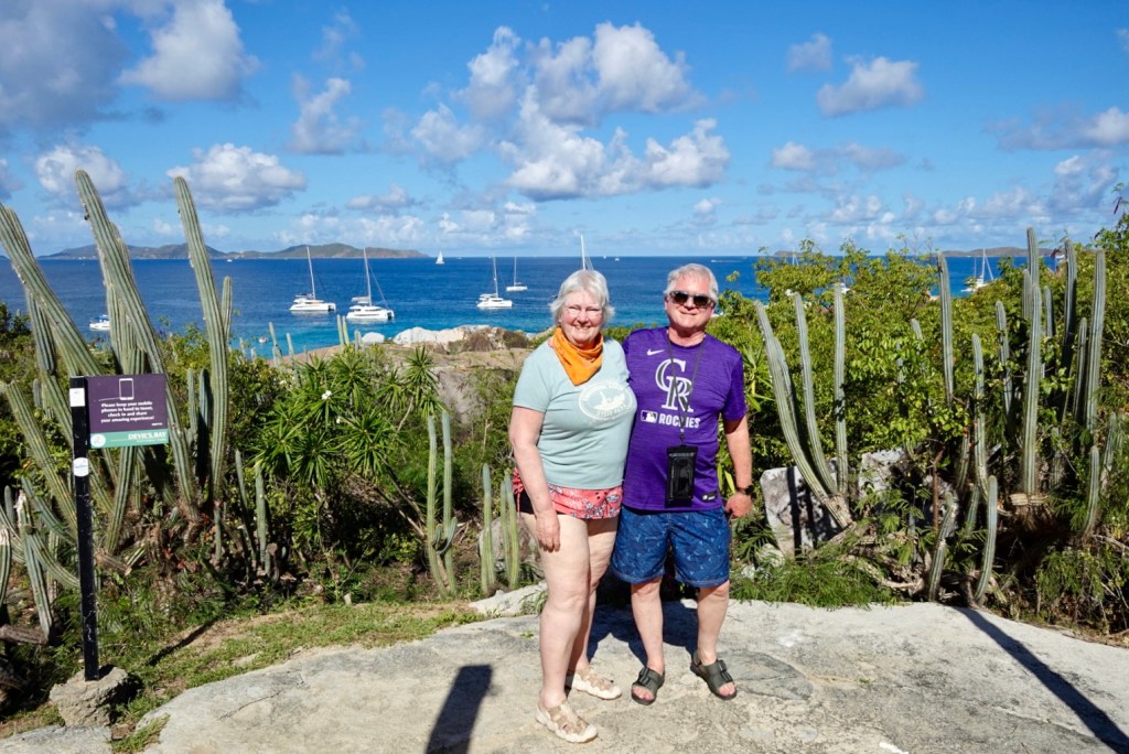
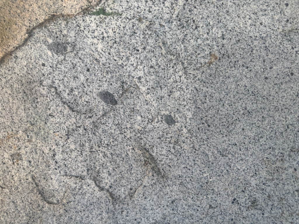
Our taxi to the start of the one-way trailIt was crowded!This musician played at the park almost every day. Park emblem on the ground Automobile for scaleUs at the BathsDark inclusions in the granite contain garnets. Organ Pipe Cactus: if you slip on the trail, do not grab this plant!
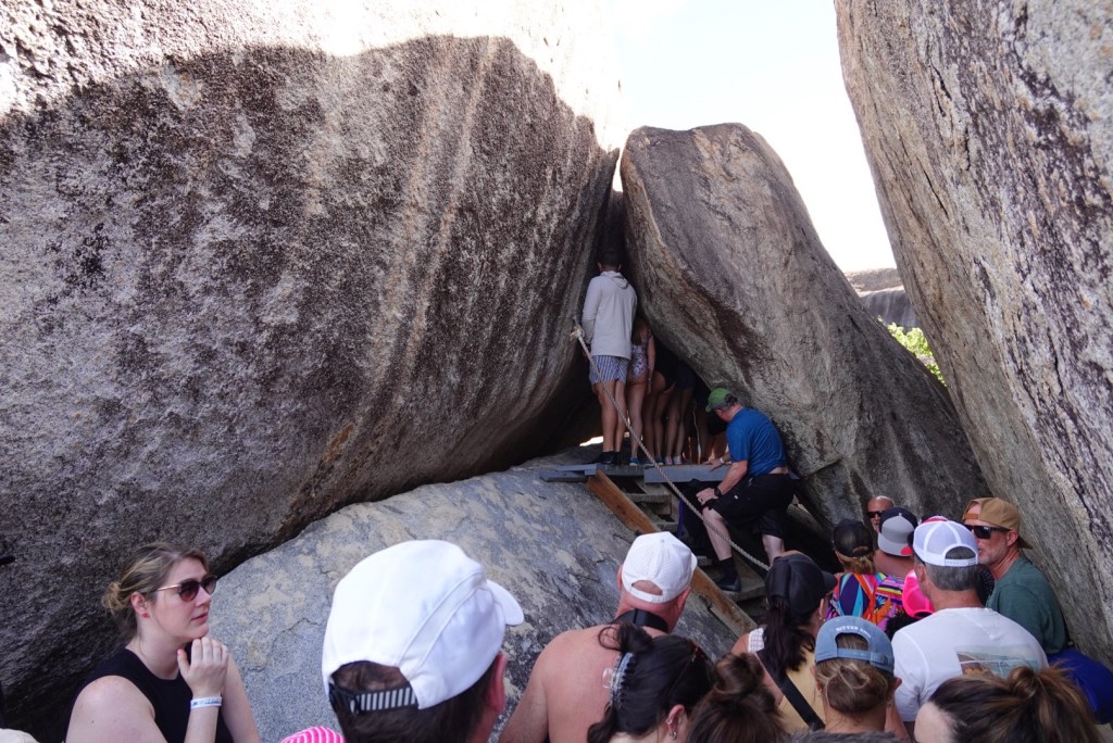
The trail started along a sandy walkway headed toward the beach. Lots of people were walking. A couple of places we got stuck behind a crowd, when someone ahead got stuck or scared and tried to turn back, but this is a narrow, one-way trail.
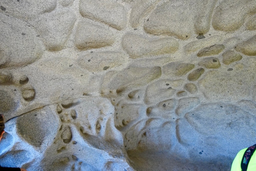
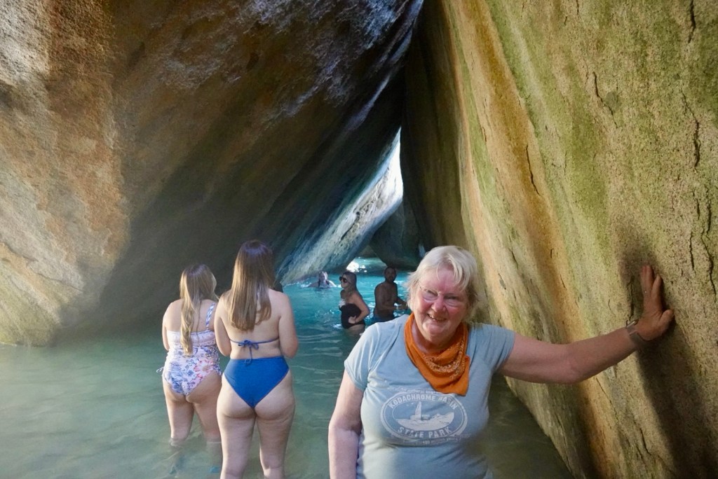
Sandy trailPothole-like indentations in the rock and black stripes on the outer surfacesStuck in a crowd Jumbled piles of rounded and jointed boulders. This tricky part was where some people tried to turn back.
The crowds gave us a chance to study the boulders and evolve a hypothesis of how they developed into this unusual presentation. Deep seated magma (from the garnets) and fairly quick uplift caused widely spaced joints to form. The joints allowed water to erode the edges causing large scale exfoliation similar to the domes in Yosemite. The thick slabs of exfoliated granite fell away from their well rounded surfaces, landing at random angles. Quite unique! We felt lucky to experience these rocks at this precise stage of development.
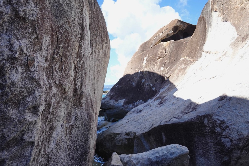
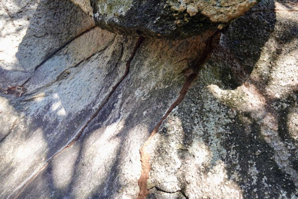
Boulder, left and exfoliated slab, rightWindow through jumbled rocksStrange erosion patternDark brown trails from termite nests, like we saw on some trees
The trail was tight in some places, but open to the beach in others. I feel like we would have spent much more time exploring if fewer people were around.
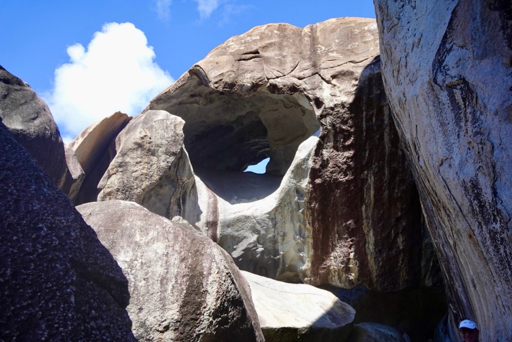
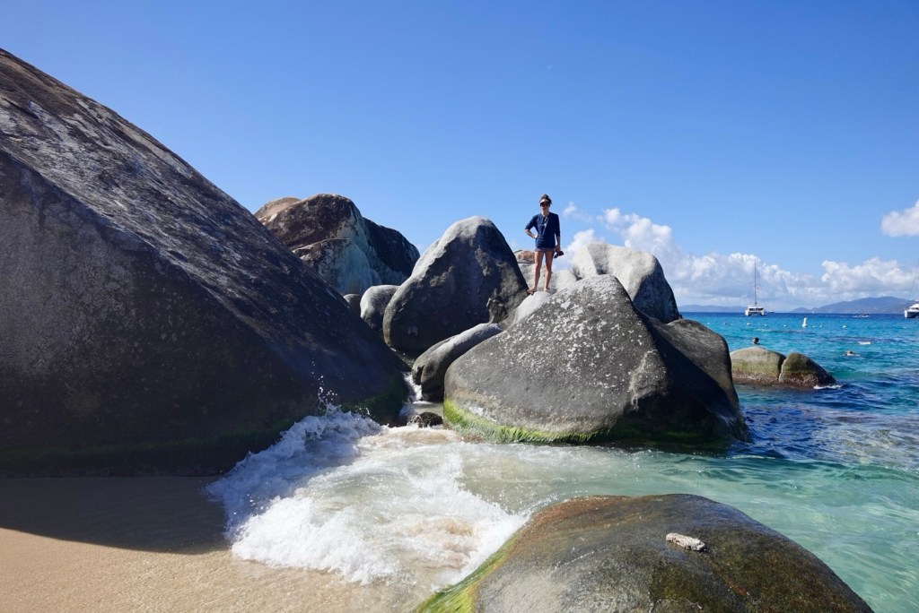
These pictures show the beach area at the end of the trail.This part was called the Cathedral or Grand Cavern, a choke point as tourists tried to take pictures without others in the frame. We failed.
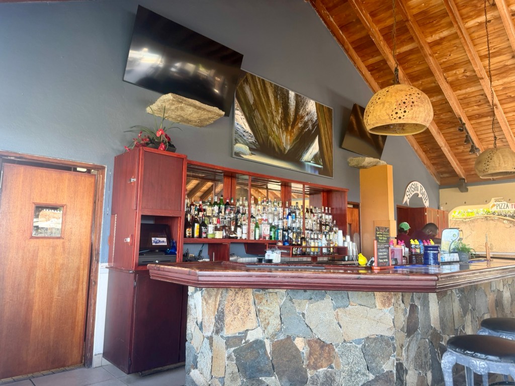
After the excitement of the trail through the Baths, we had a quick lunch at a restaurant at The Top of the Baths. We had put in our orders before we arrived.
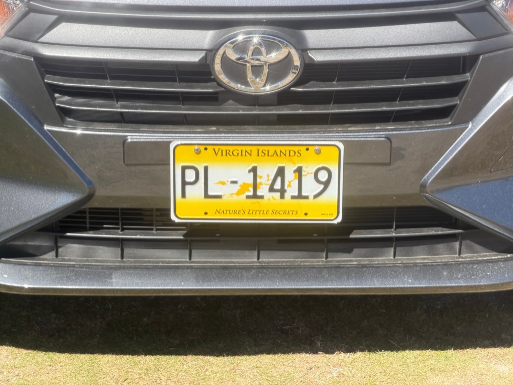
Plantings outside the restaurantThe barBack to the taxiBVI license plate: “Nature’s Little Secrets”Last view of the rocky shoreline of Virgin Gorda
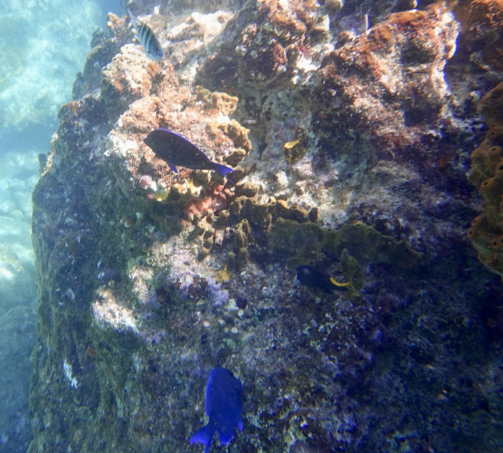
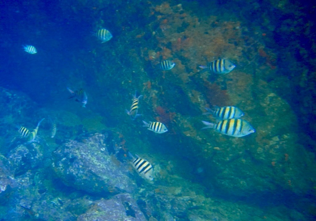
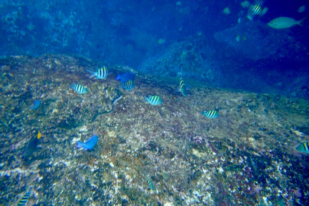
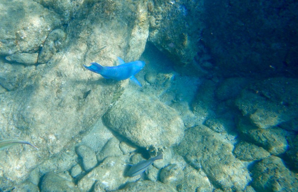
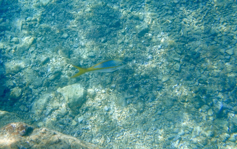
The boat ride to Norman Island was smooth and easy again. Other boats were anchored where we were headed for the best view of sea life. This island was the inspiration for Robert Louis Stevenson’s novel “Treasure Island.”
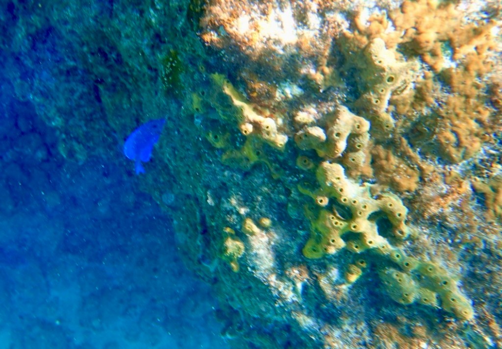
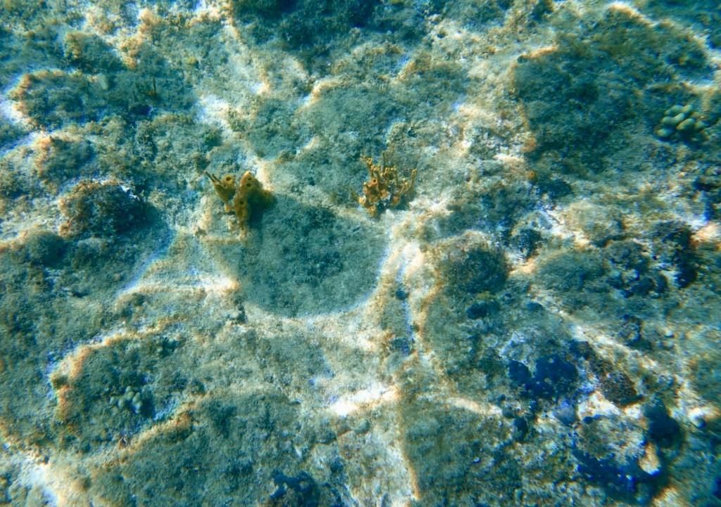
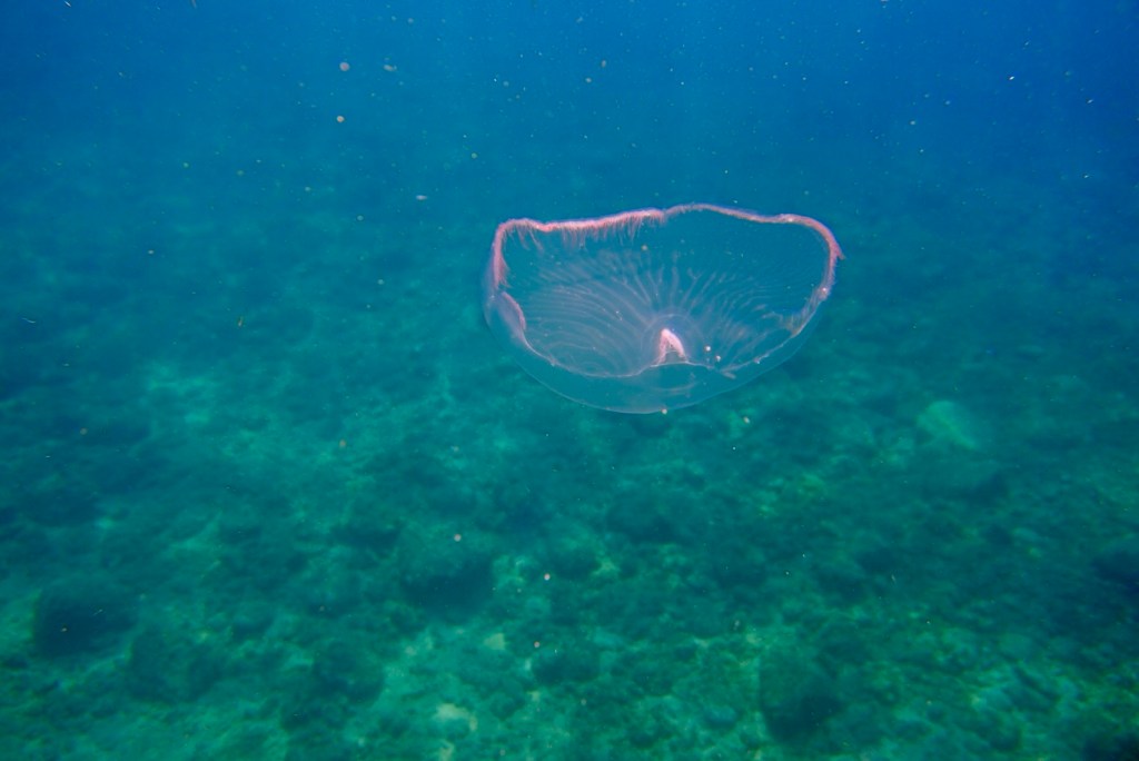
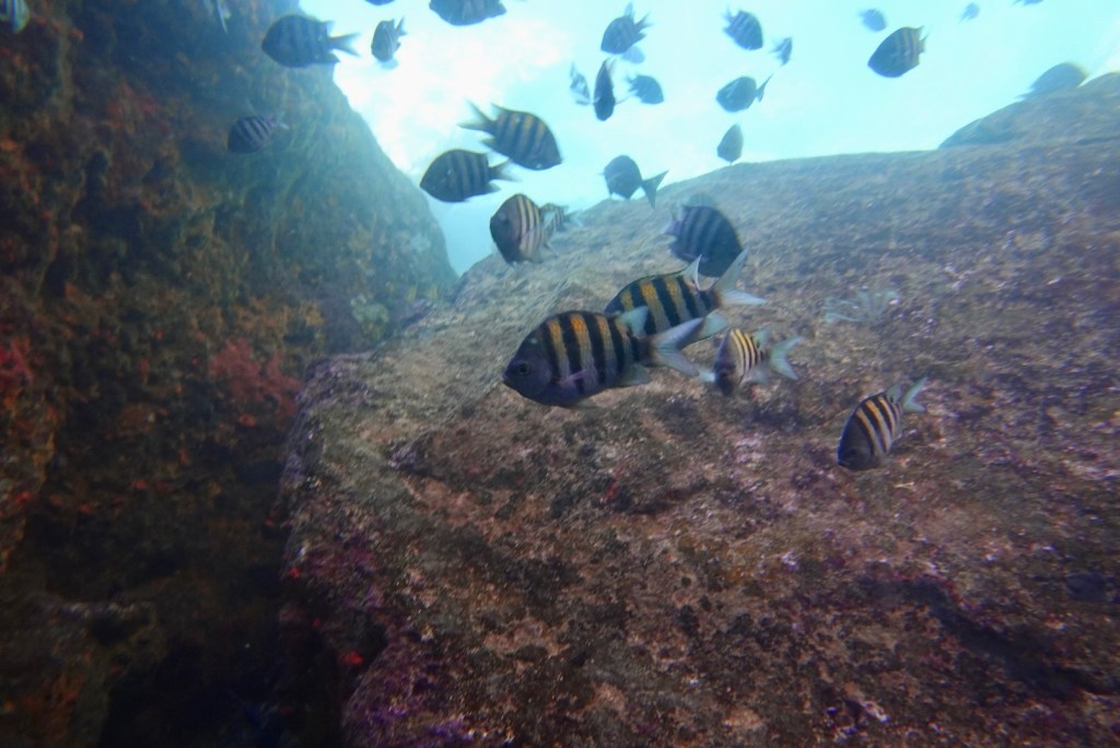
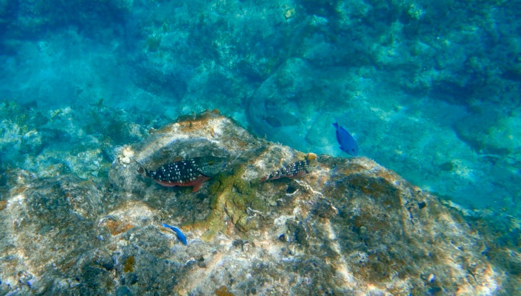
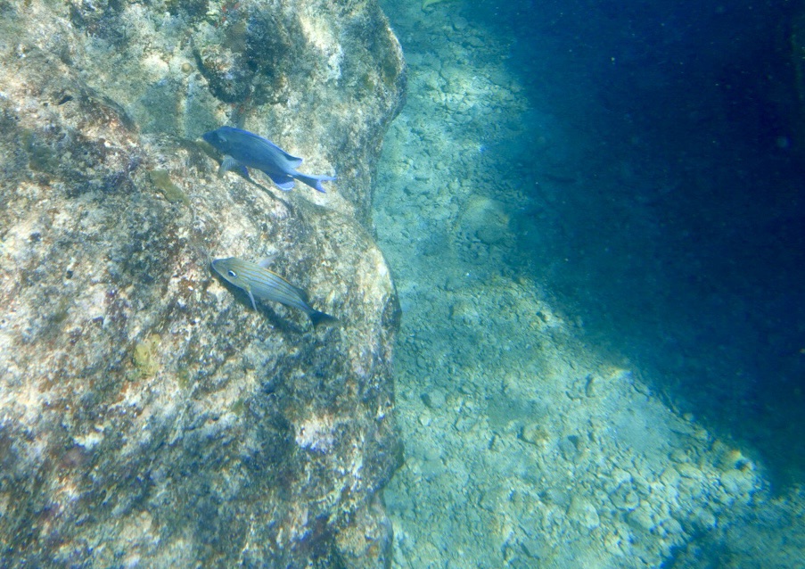
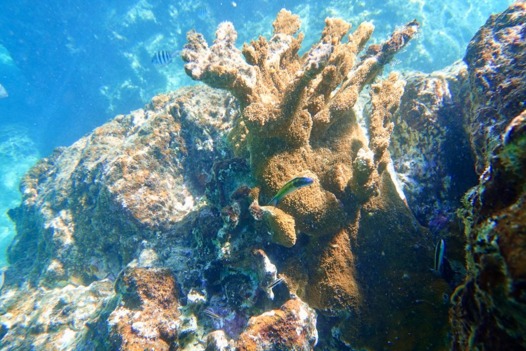
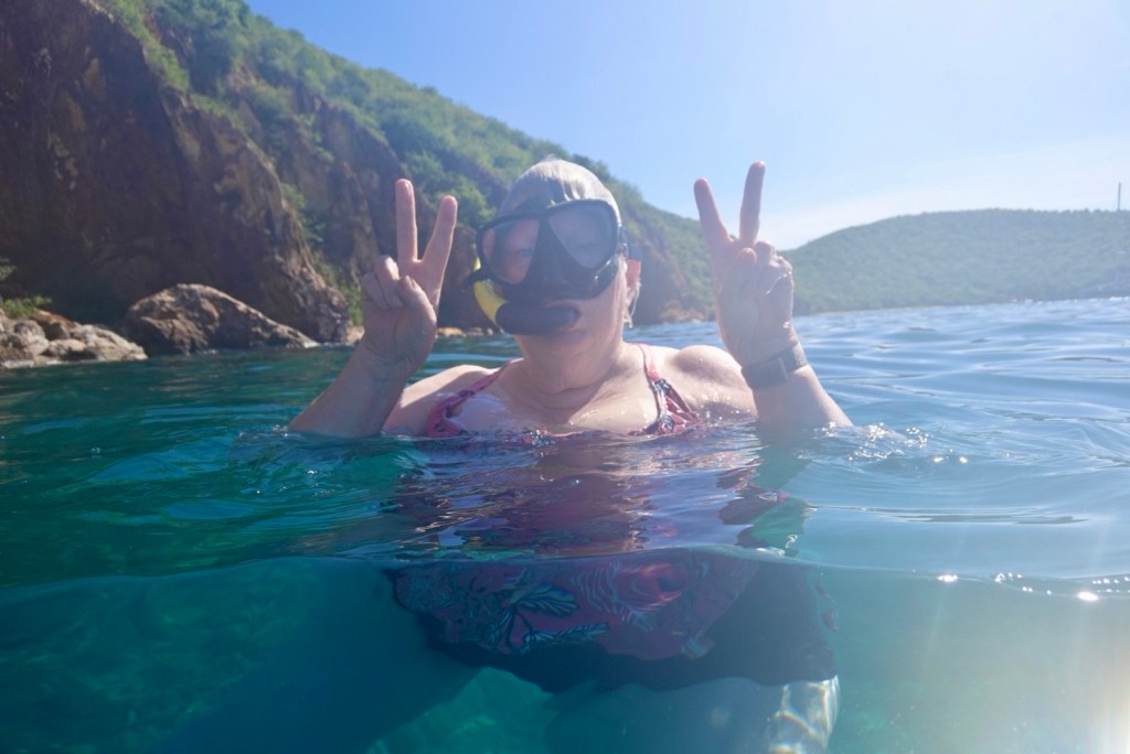
The Blue Tang really stands out!Blue Tang and coralYellow Tube SpongeMoon JellyfishSergeant Majors and ParrotfishYellowtail SnapperStoplight ParrotfishBlue ParrotfishBluehead Wrasse and branching coralSome goofy person hoping for peace in the world The back of one of the caves
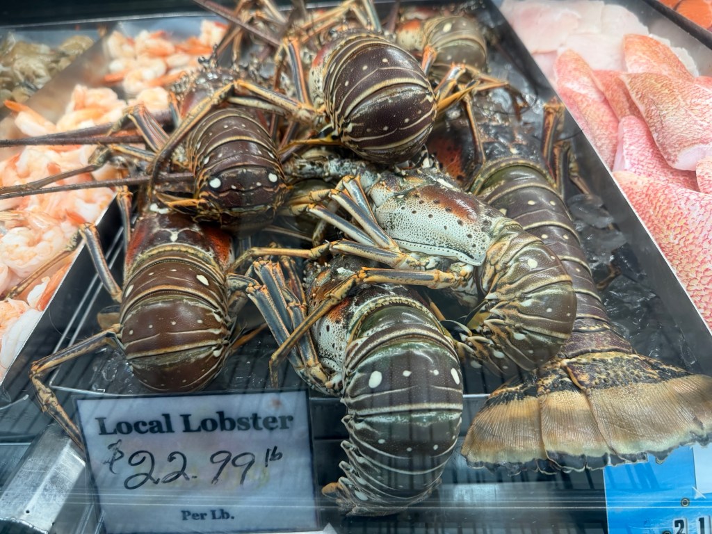
We asked the captain to drop us off at U.S. Immigration in Cruz Bay rather than at the Westin Resort. This enabled us to find drinks at a bar before going to dinner at a nice restaurant where Clare tried to eat a 2-pound Caribbean lobster!
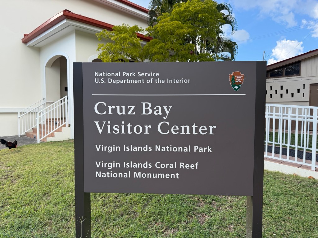
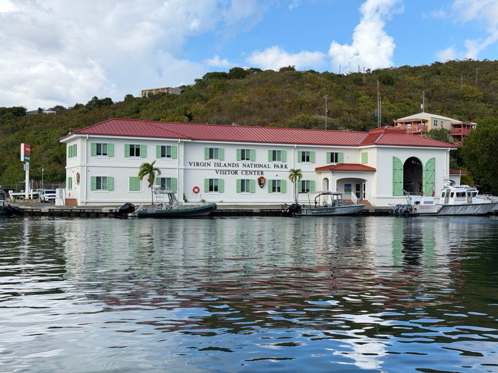
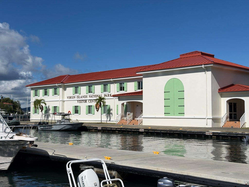
We viewed exhibits here and received a geology brochure from a park ranger.Hanging out at the Beach Bar in Cruz BaySunset from Ocean 362 restaurant
From Doubting to Baptism? With St. Croix next? What does it mean?
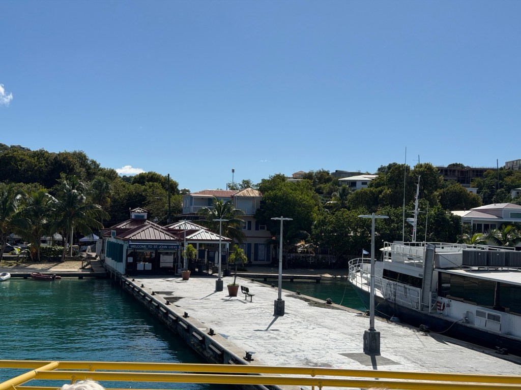
After packing up for the next island, we took a taxi then a ferry to our destination. The ferry ride was quick — about 15 minutes.
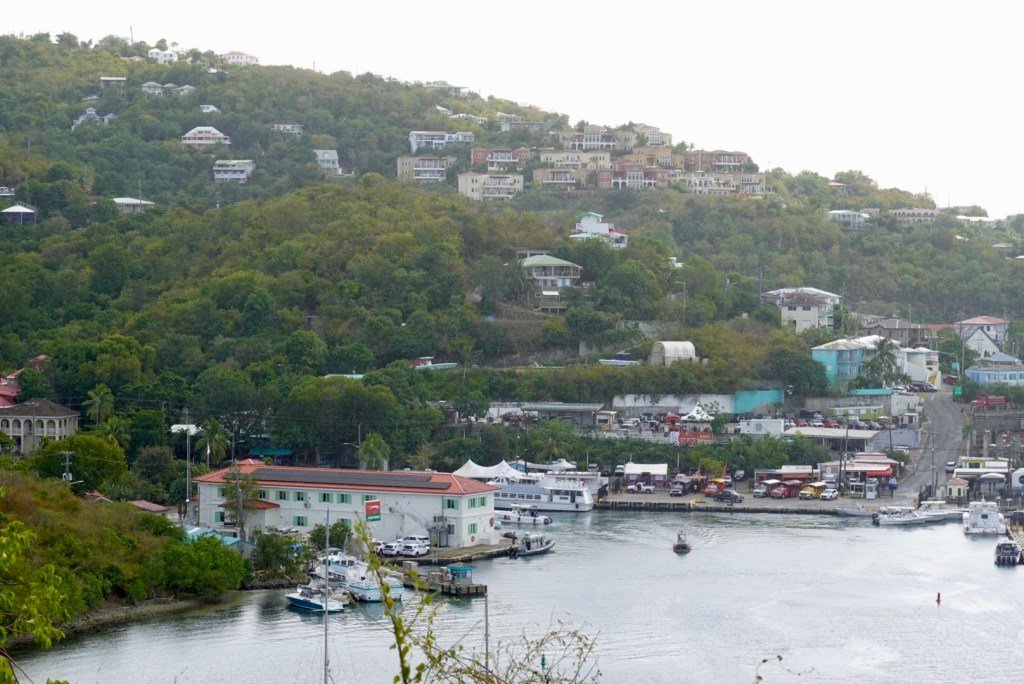
On the ferryLooking back toward Red HookArrival at Cruz Bay
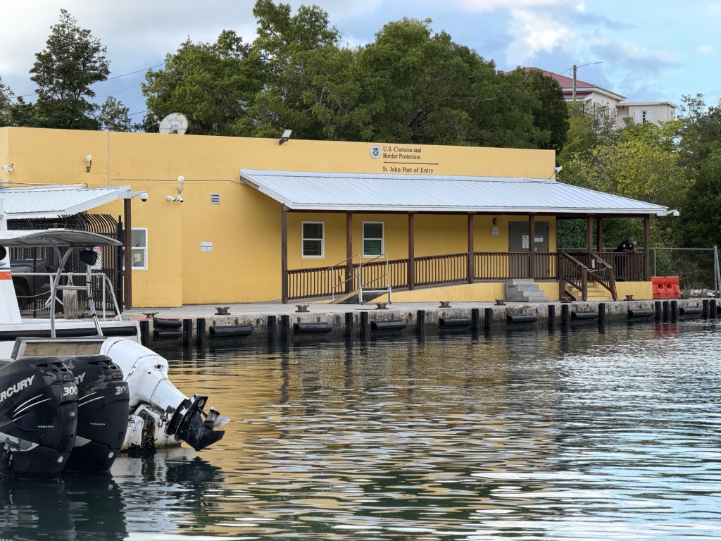
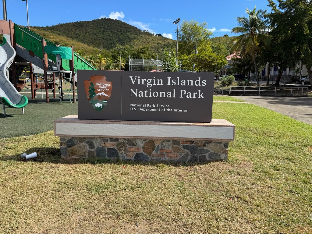
When we got off, we hauled our luggage to the National Park Headquarters, but it was closed on Sundays. So we found a grocery store. Our new accommodation was about a mile from there.
Park Visitor CenterWow! Big Caribbean lobsters
St. John Island is very steep, so the planned mile walk up the hill was arduous, at eighty degrees and eighty percent humidity. Luckily, two young gentlemen offered us a ride! Brian didn’t want to accept, but they convinced us, so we hopped in their car. Smart move! And such kindness. They didn’t even want any money for helping us out.
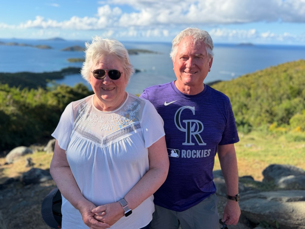
Next, we hired a guide to take us around the island. Jenn was great! She stopped wherever we asked.
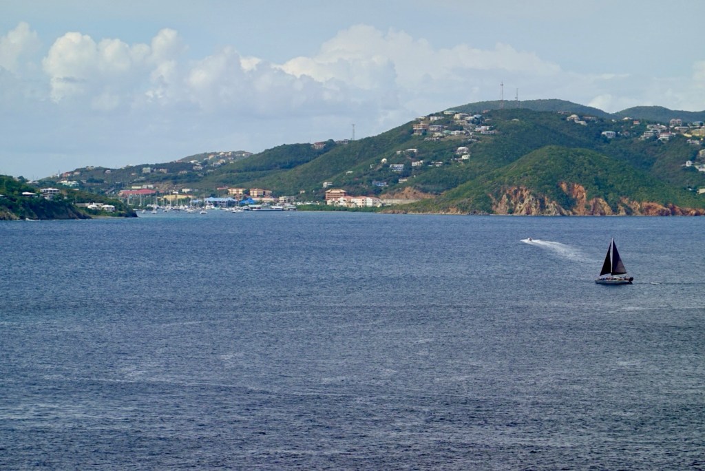
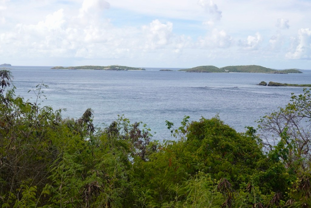
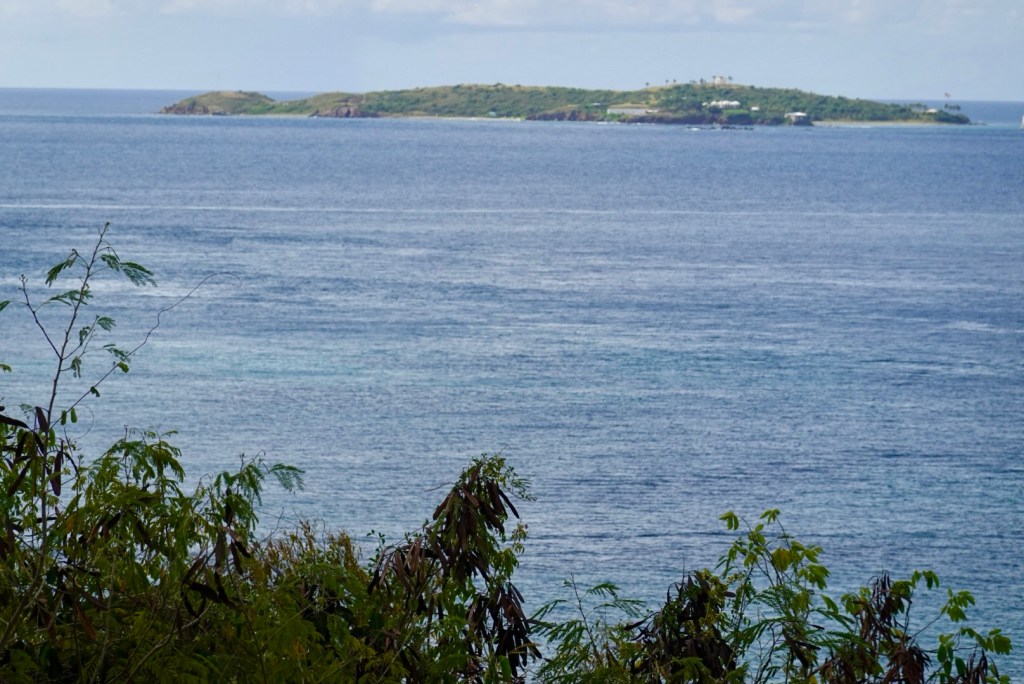
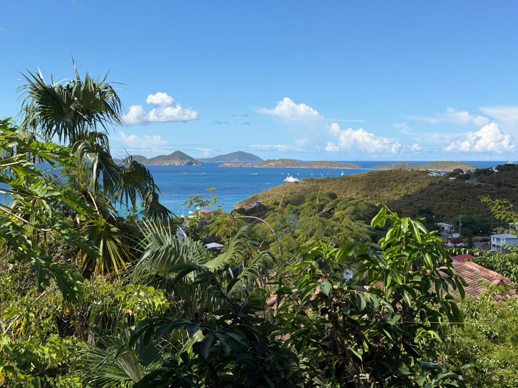
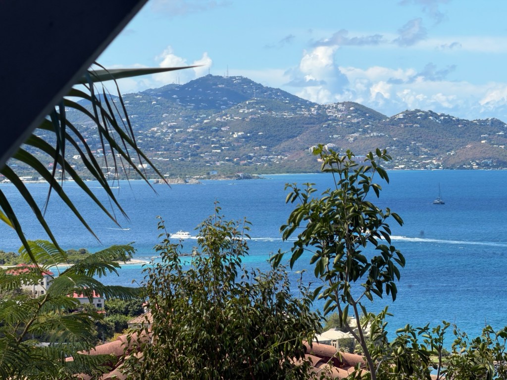
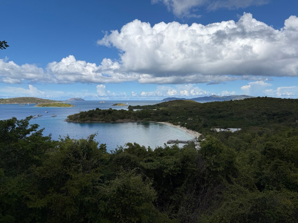
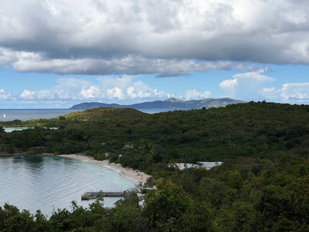
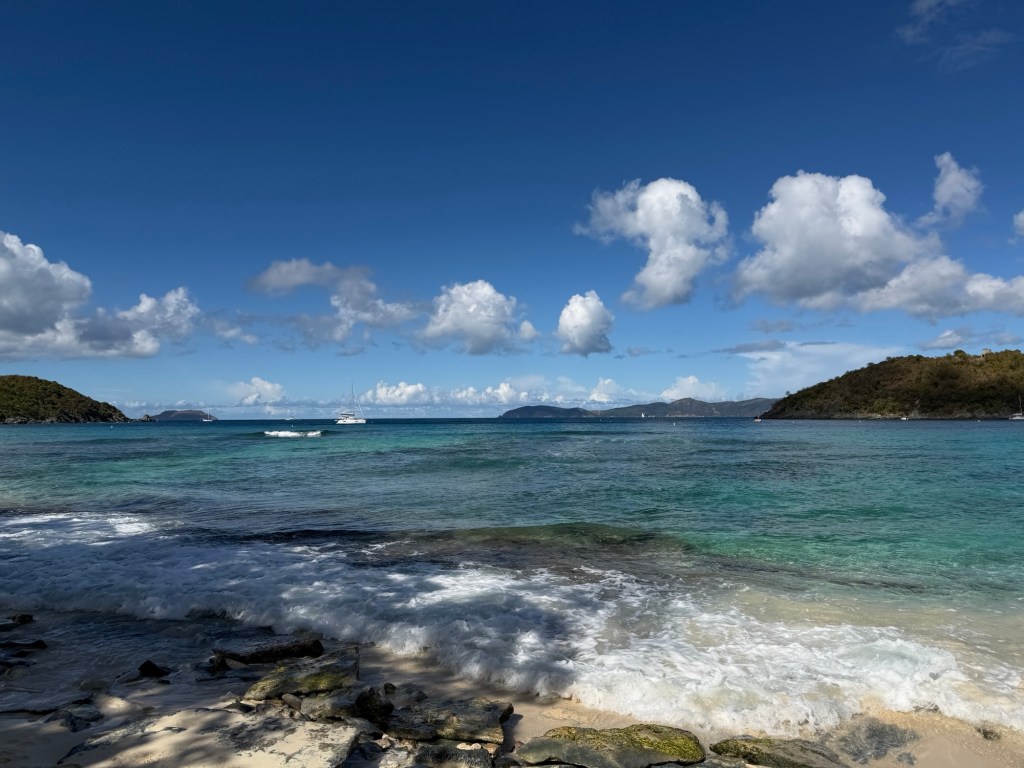
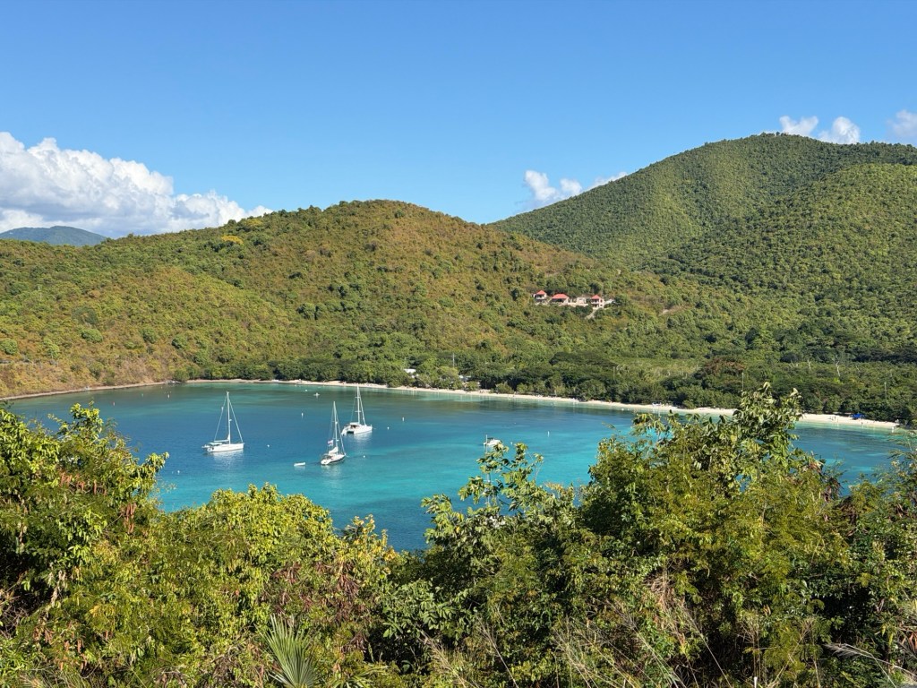
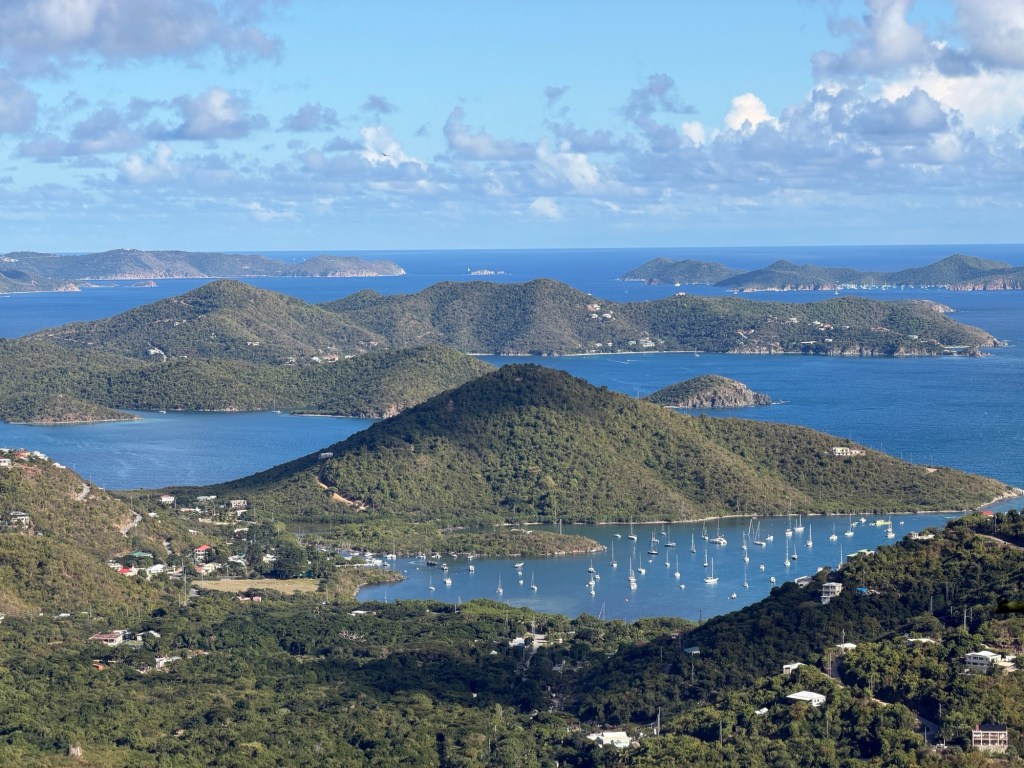
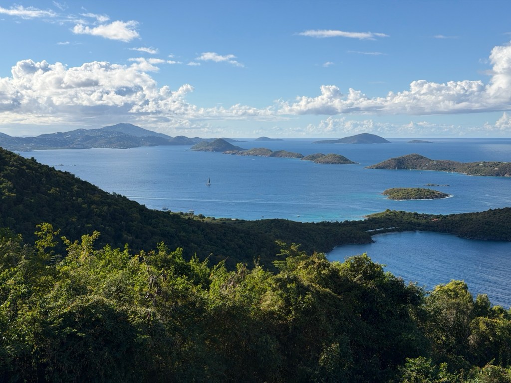
Islands to the NWView of St ThomasCruz BaySt Croix in the distance is 60 km south.Pictures from near Lind Point
We spent three wonderful hours listening to Jenn, learning about her favorite place. She moved here about 15 years before, thinking to stay about a year, but she never left. Now she has a family.
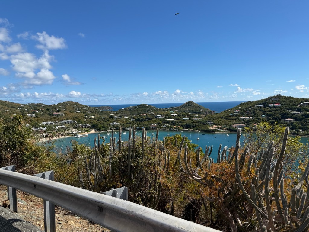
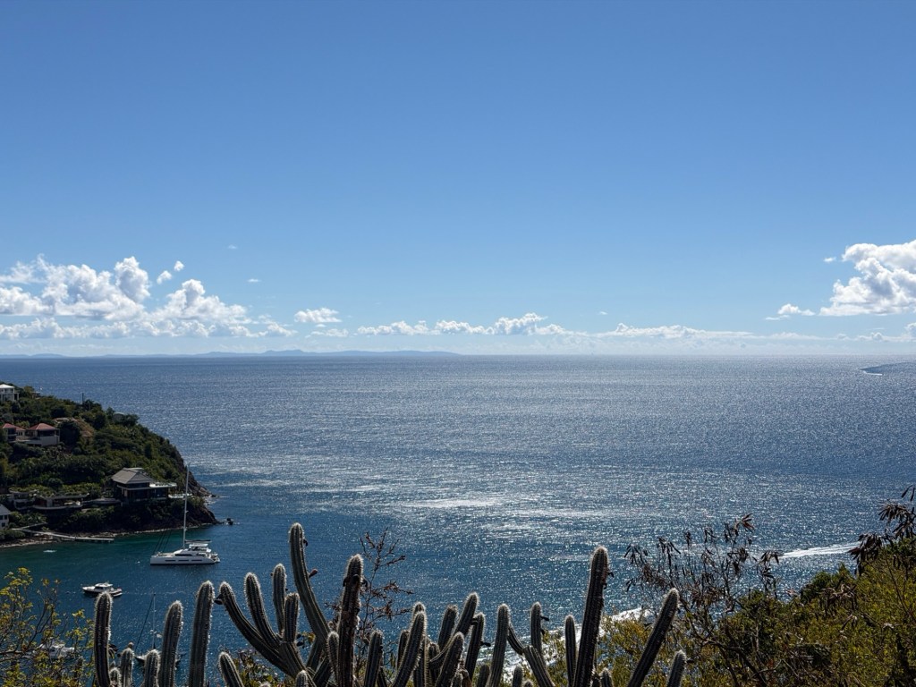
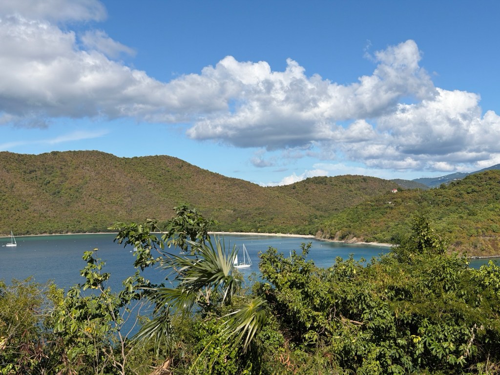
So many beautiful coves on this island! The steep terrain enhances the sights.
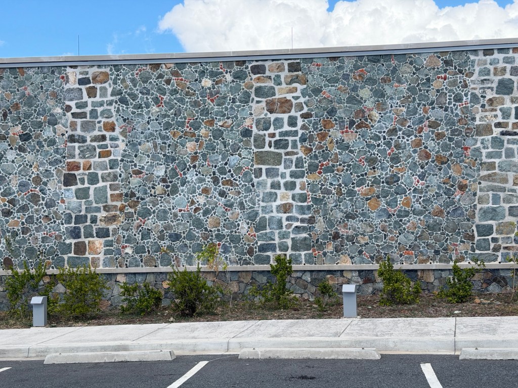
Caneel BayCaneel BeachView beyond Caneel BayThe walls on many buildings are like this, copying the older style of wall construction.
We got out of Jenn’s car often to see her favorite views. Jenn referred to Caneel Bay Resort as a Jurassic Park scene, with the abandoned buildings on a remote island. In 1956, Laurance Rockefeller opened this eco-friendly resort and purchased thousands of acres of the surrounding land which later became Virgin Islands National Park. The resort operated under a lease from the park until 2017.
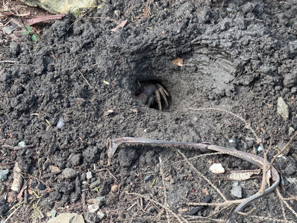
Ruins of the Caneel Bay Resort, destroyed by a hurricaneDigger crabSo many beaches!The National Park Service owns the resort ruins, inaccessible currently.Nature is slowly reclaiming the land!
We even walked down to a few beaches.
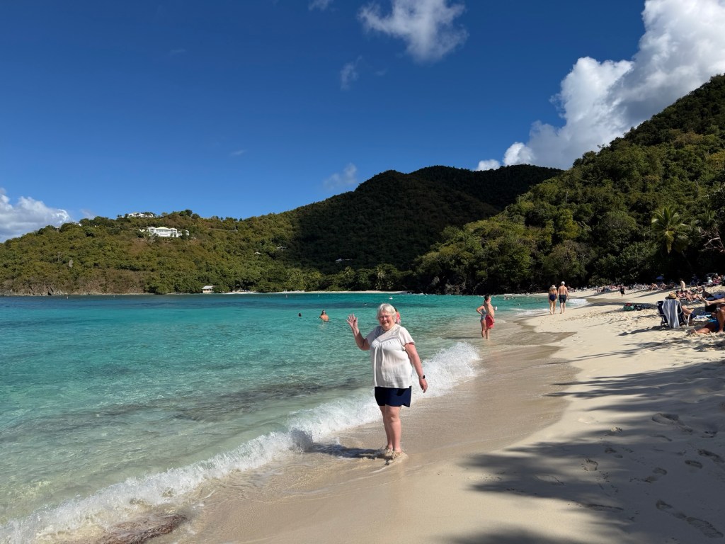
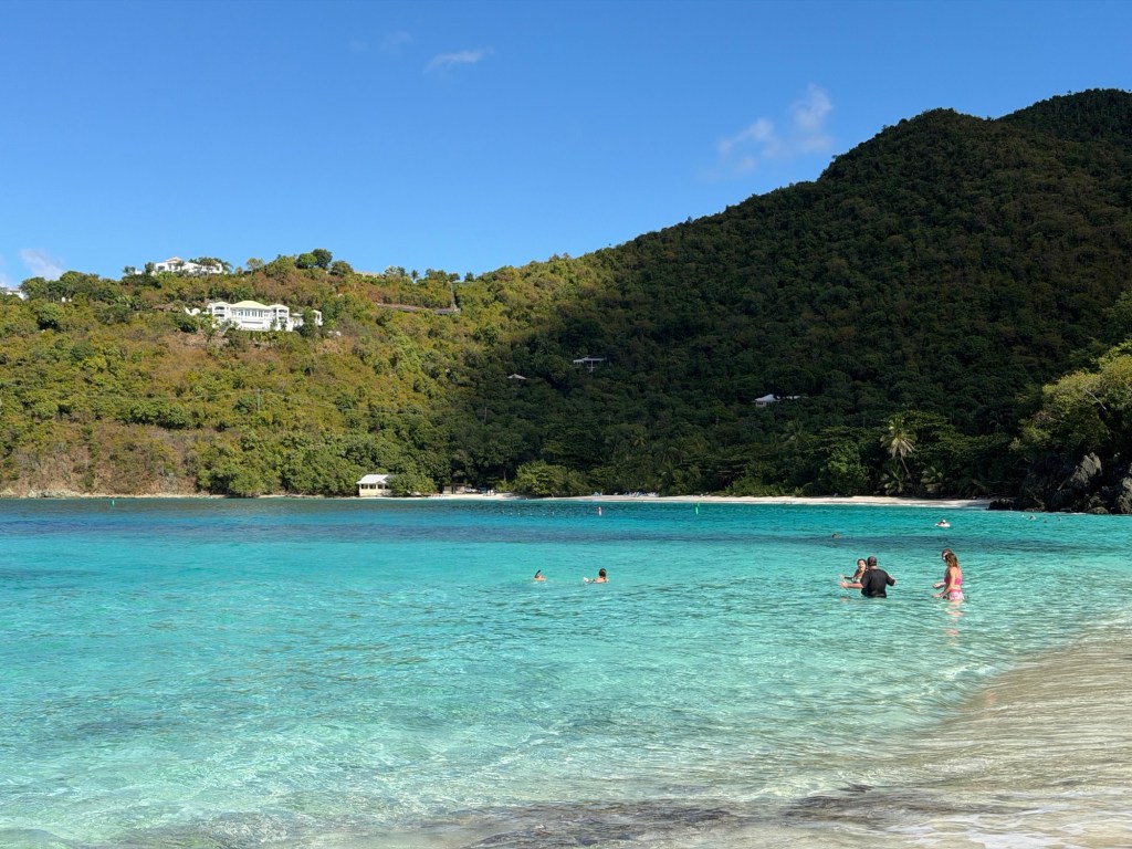
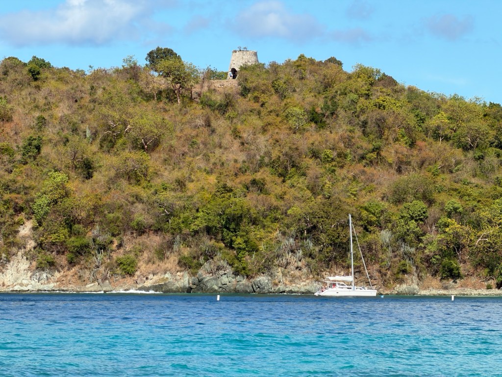
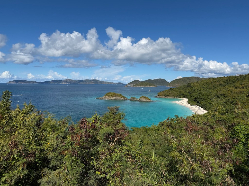
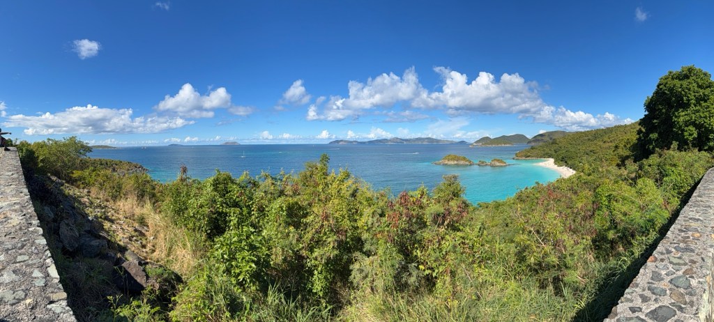
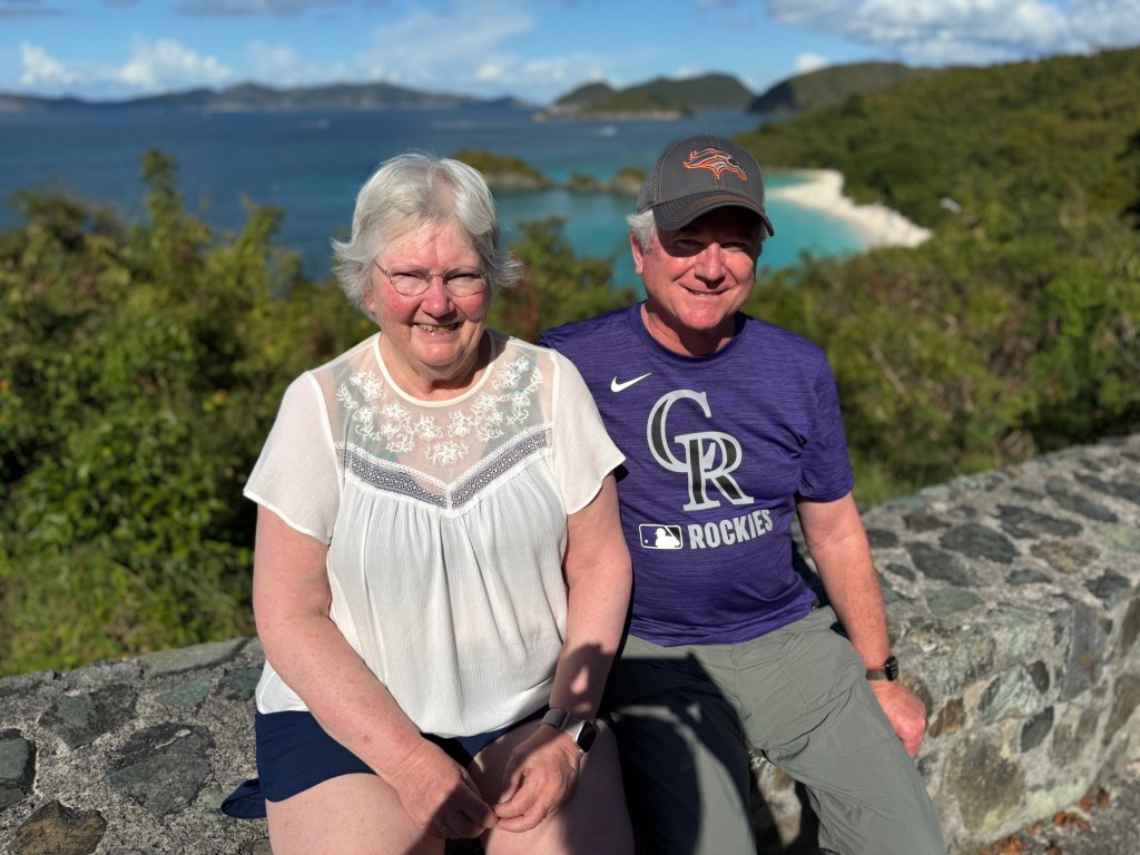
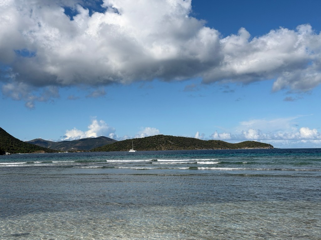
Hawksnest BeachClear water! Robert Oppenheimer once owned the small house on the beachRuin of windmill on the hillLooking down at Trunk Bay Beach with Jost Van Dyke (BVI) in the distancePanorama overlooking Trunk BayClare & BrianMaho BayMaho Bay BeachClear water and small waves
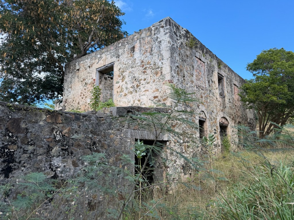
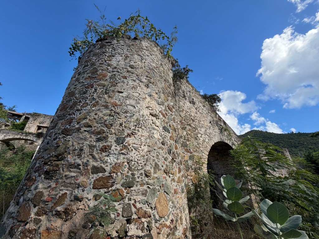
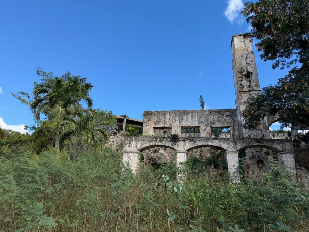
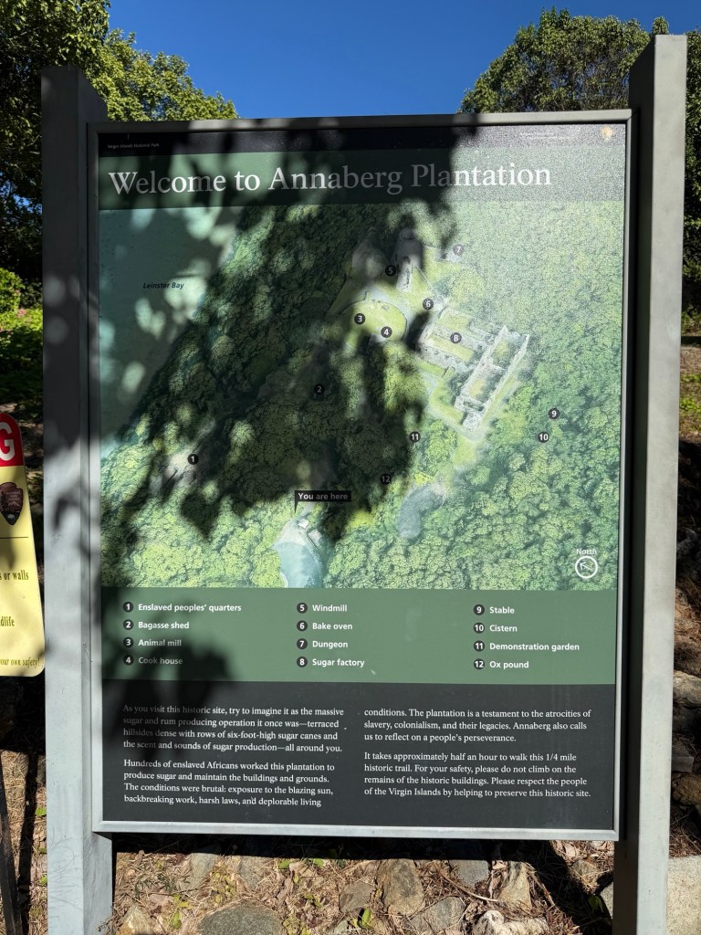
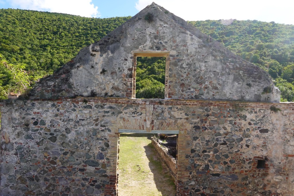
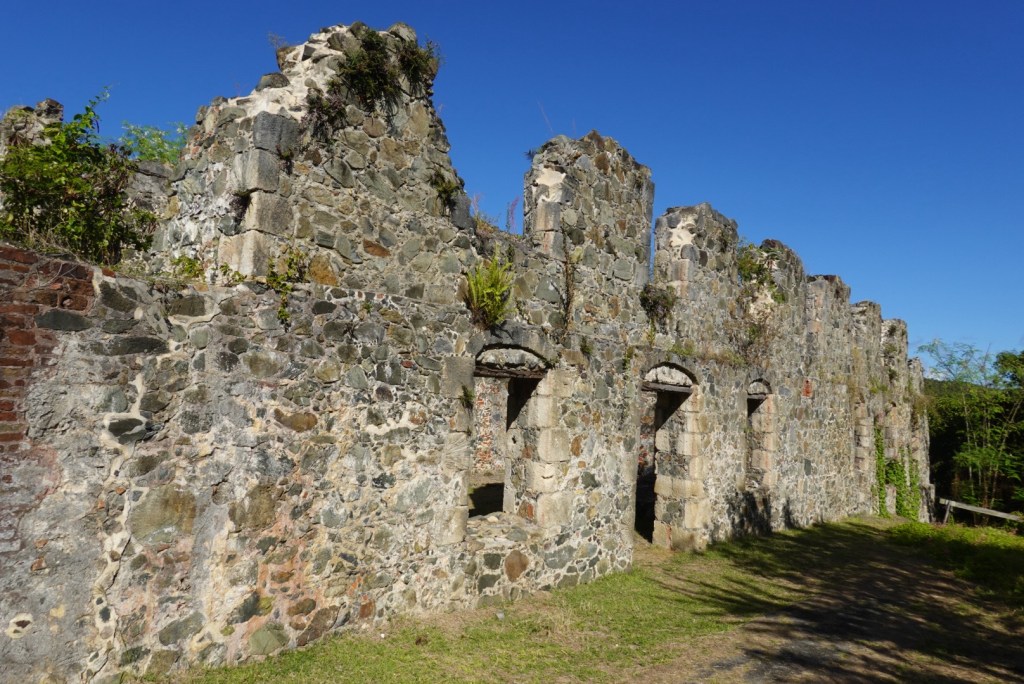
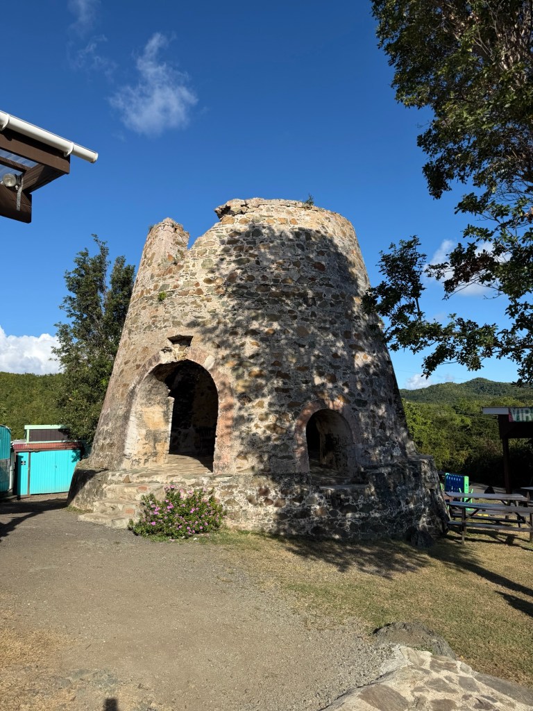
Jenn let us out at a sugar mill ruin which had informational signs and maps. She couldn’t come with us because she was parked in a taxi-only zone and had to stay with the car.
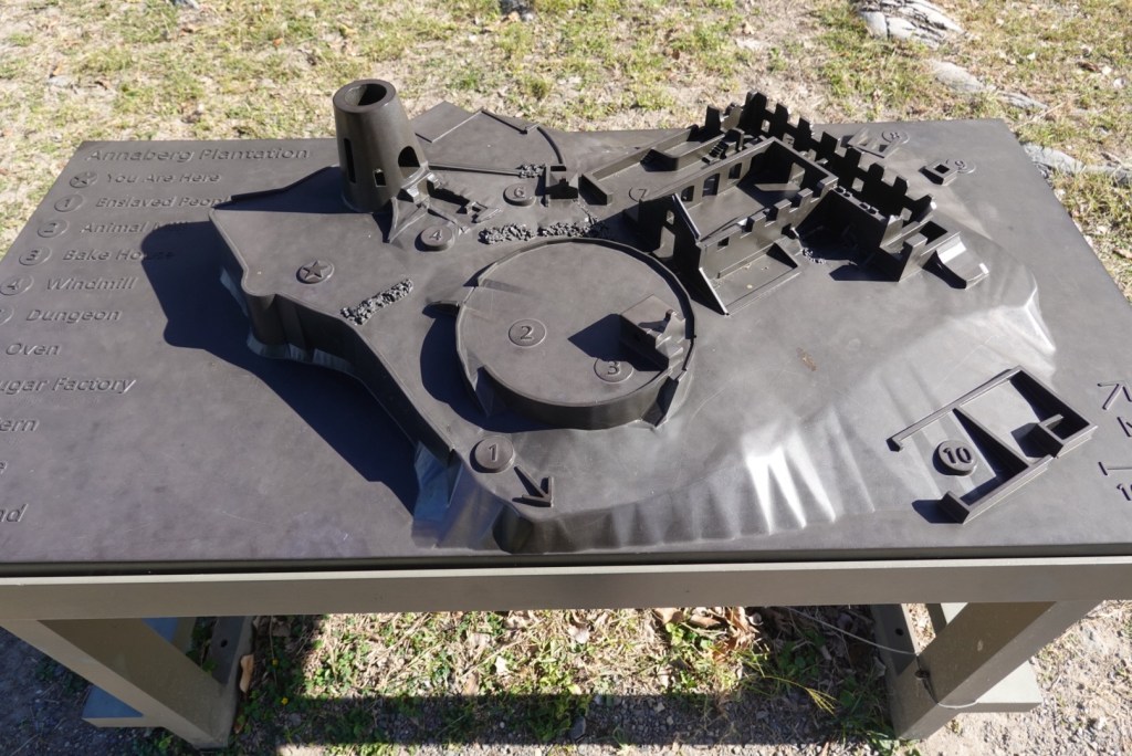
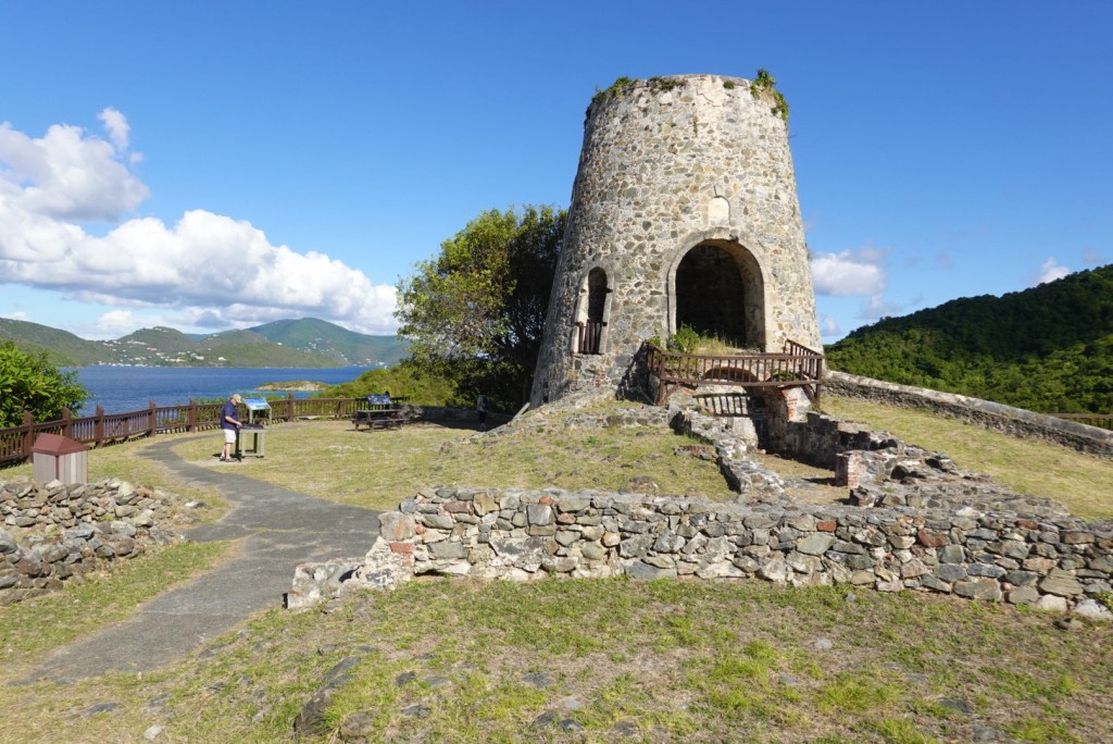
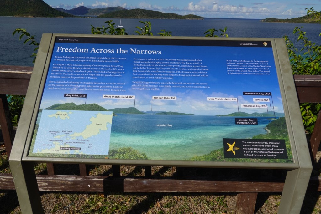
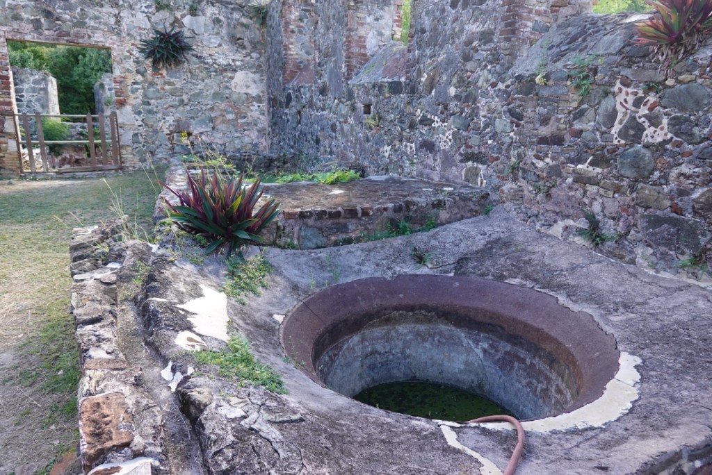
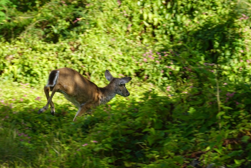
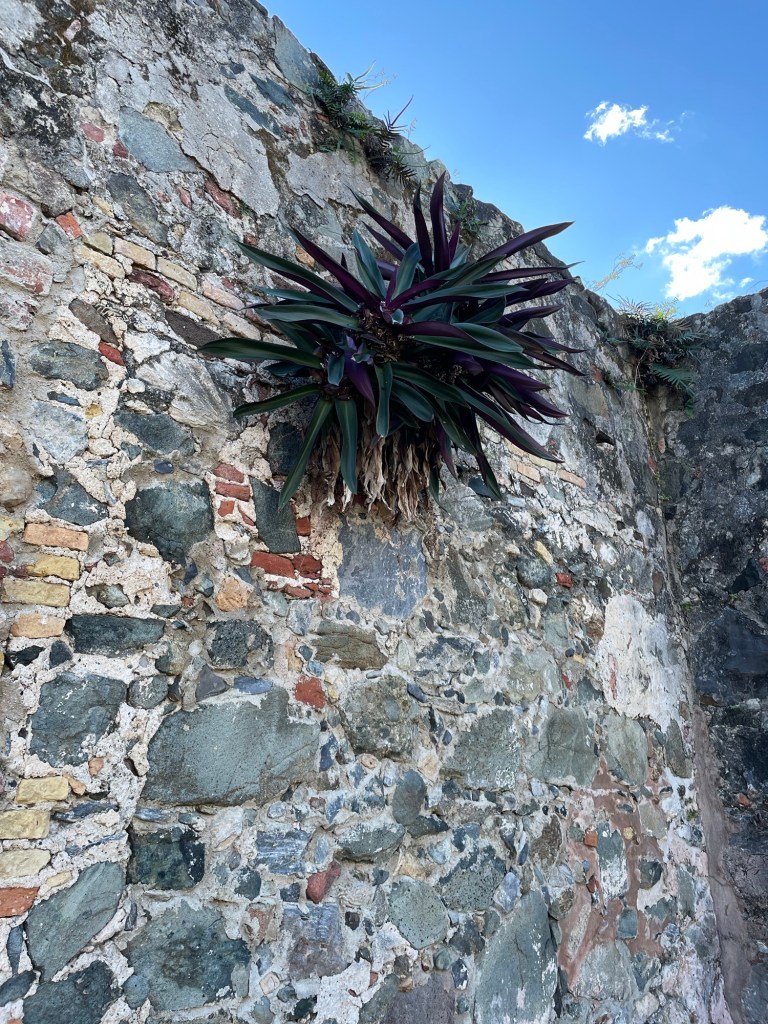
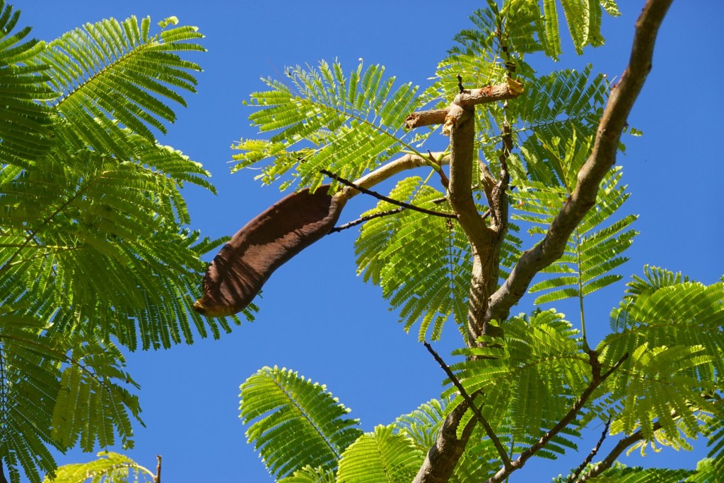
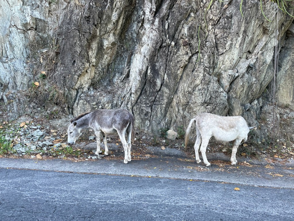
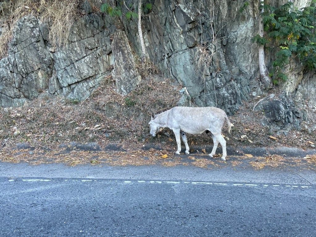
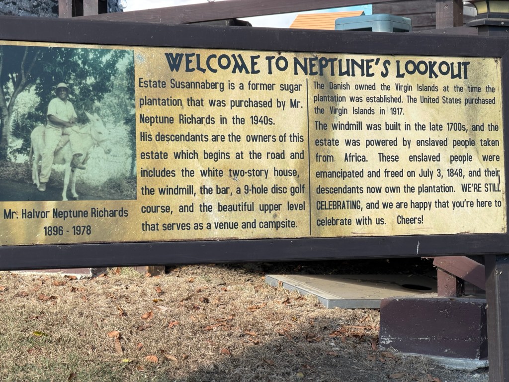
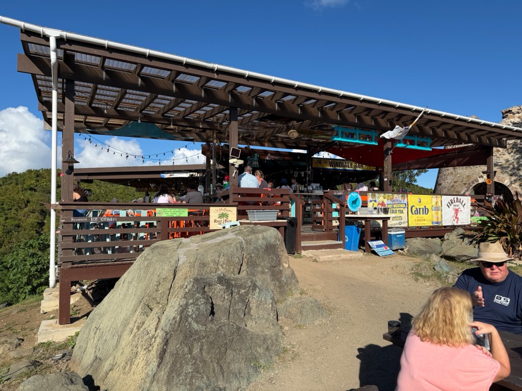
Annaberg Plantation signModel of the plantationSugar factoryBase of the windmill used for pulverizing the sugar caneThe BVI abolished slavery before the Danes, causing many St John slaves to attempt to escape to the nearby British islands.Cooking potWindow in the factoryThe back wallA deer running away from BrianPlant (epiphyte?) growing on the wallThese seed pods make great rattles, which we learned about while on Antigua in 2020.Donkeys were let loose after the sugar plantations closed. They powered the mills when the wind didn’t blow.Coral Bay on the southeast coastSusannaberg ruin is now the Windmill BarView from Windmill BarGreat day