Author: bdmarsha

The Glaciers Strike Back 1/9/2017

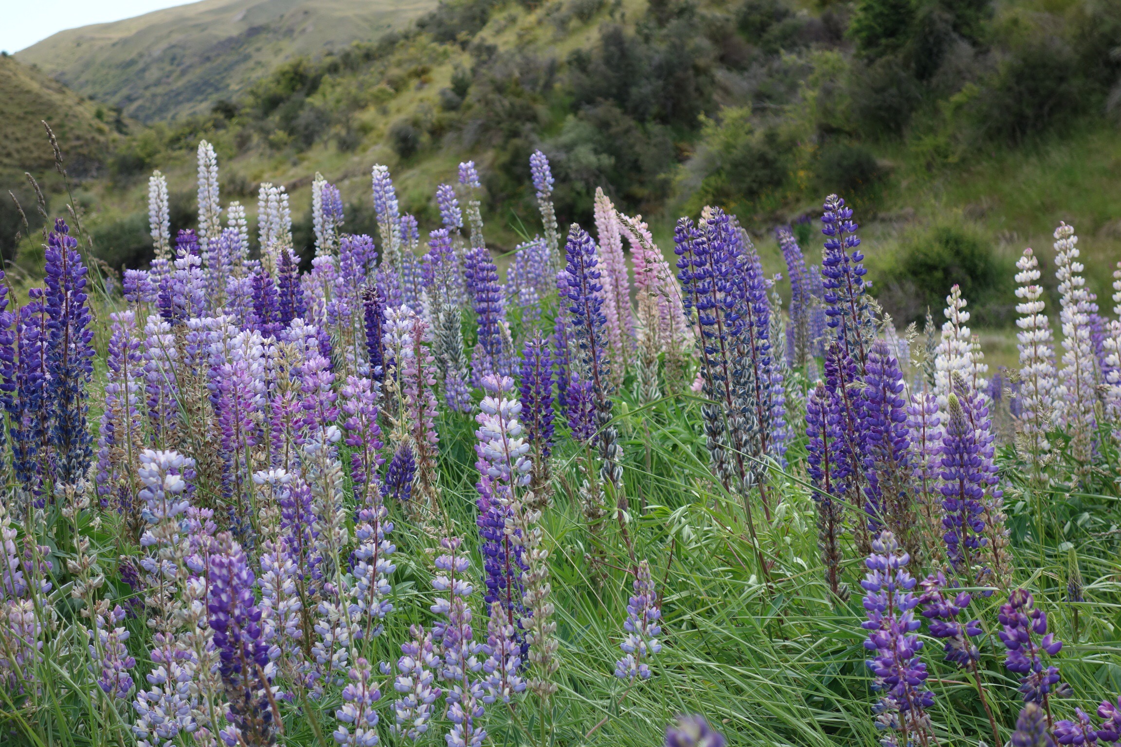
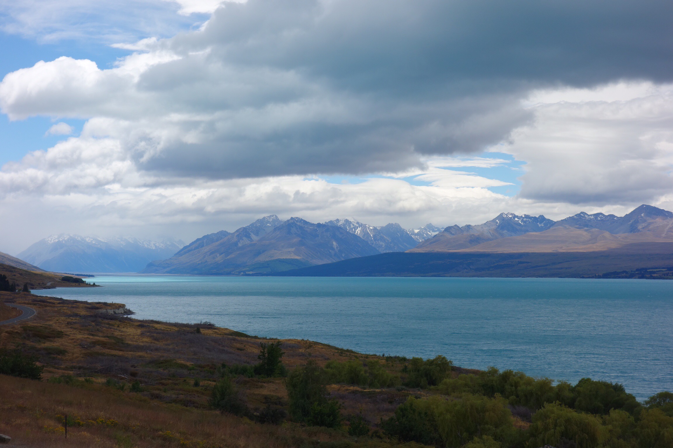
Lake Pukaki, the biggest turquoise blue lake we have ever seen, covered the lower part of the long, wide valley on the way to Mt. Cook.


The drive was lovely, as we drank in the colors. Also on the way to Mt. Cook, we stopped at a place called “Clay Cliffs”, which could be a sister to our own Bryce Canyon National Park!

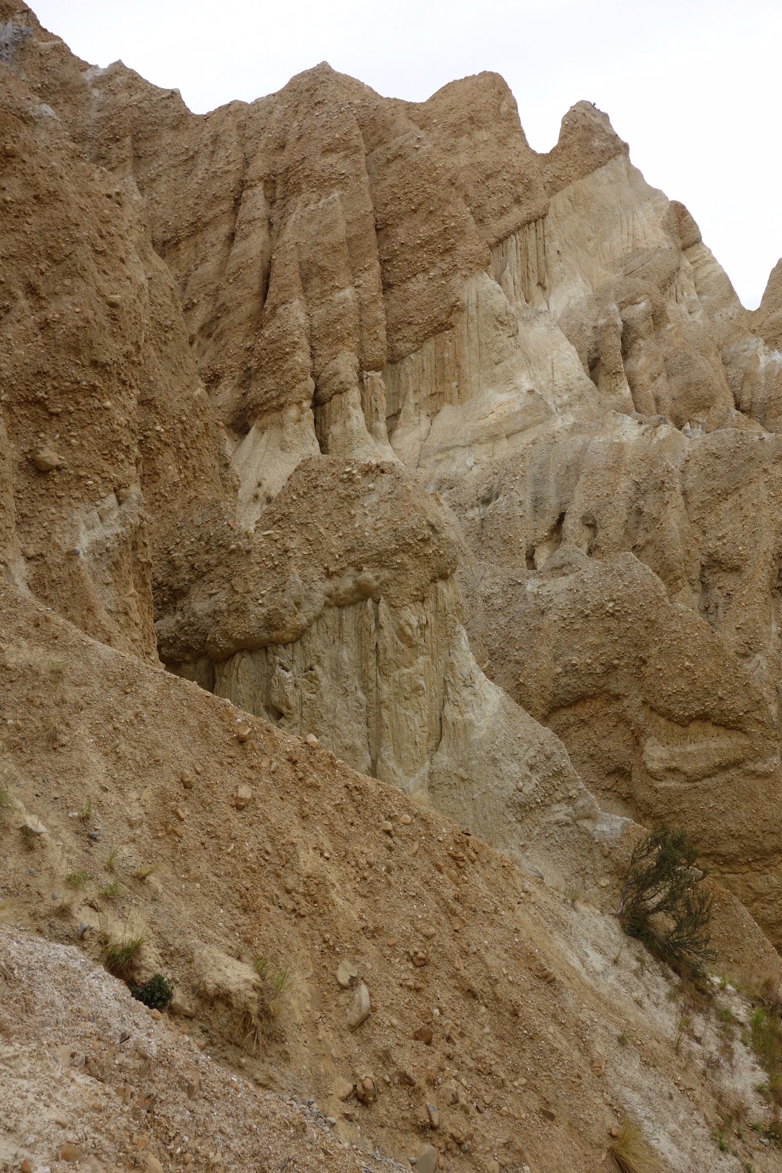
In Bryce Canyon, the layers of clay are horizontal, while here they are at an angle. And, not all the “hoodoo”s have caps on them, implying to us that they might not last as long as the Bryce Canyon formations.


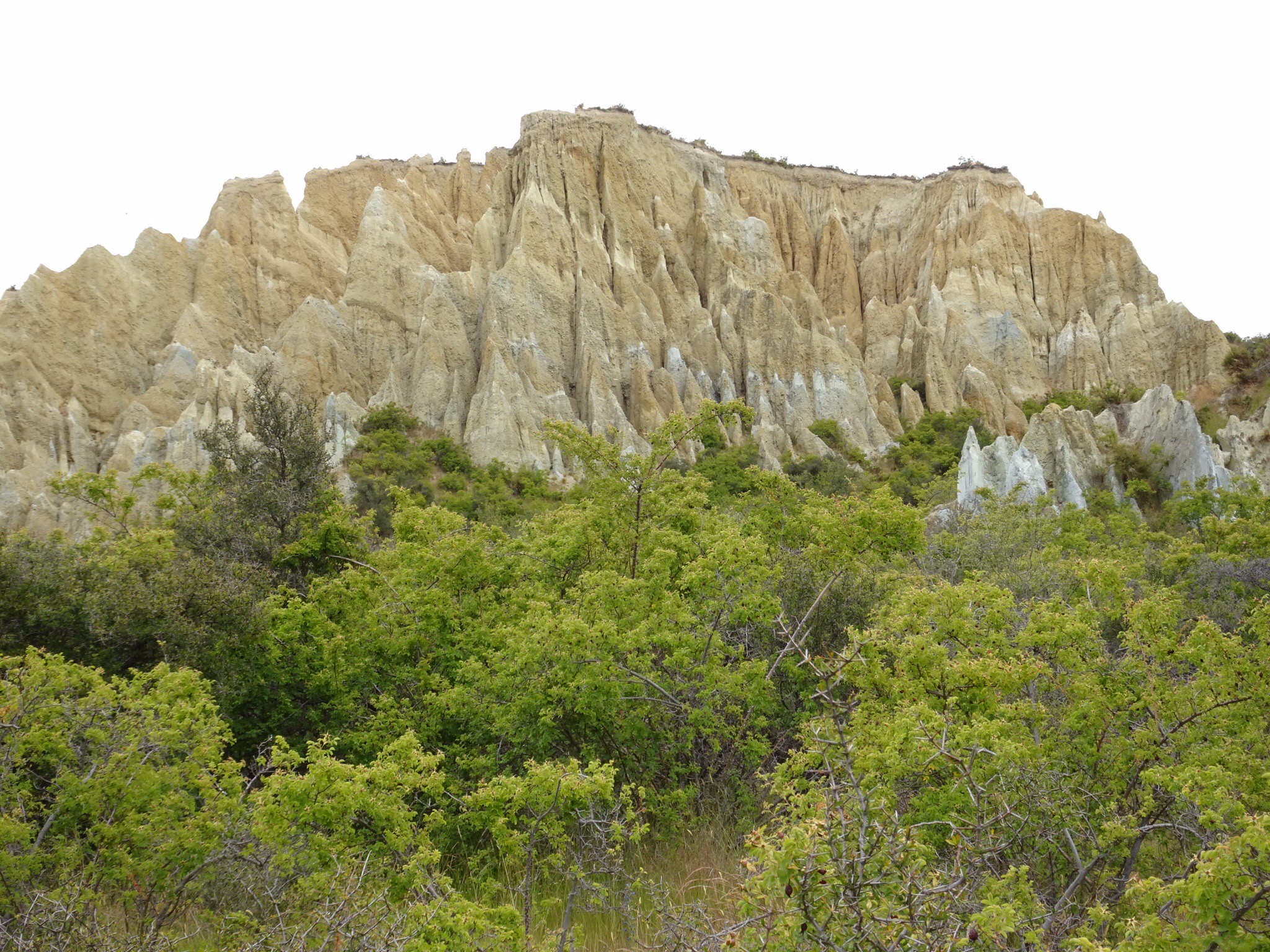
Another difference is not much greenery can be found in Bryce Canyon!

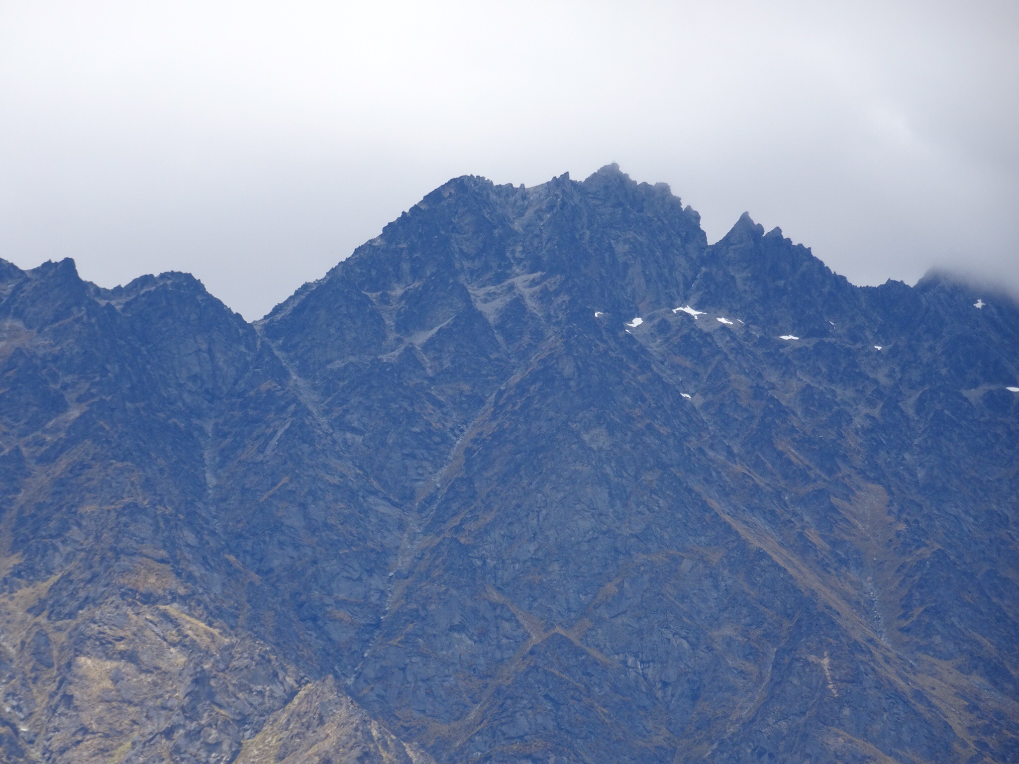
Mt. Cook itself was in clouds when we got to the end of the valley, so we went for a hike in one of the adjacent glacial valleys. See the blue in the ice, similar to the color of the lake?

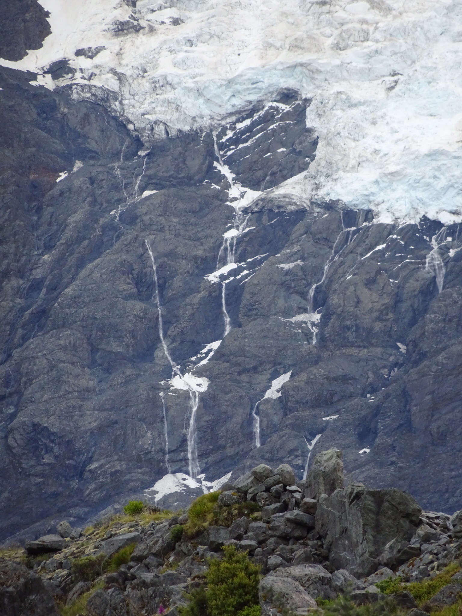
And, the stepstone lines will become waterfalls as the glaciers retreat.


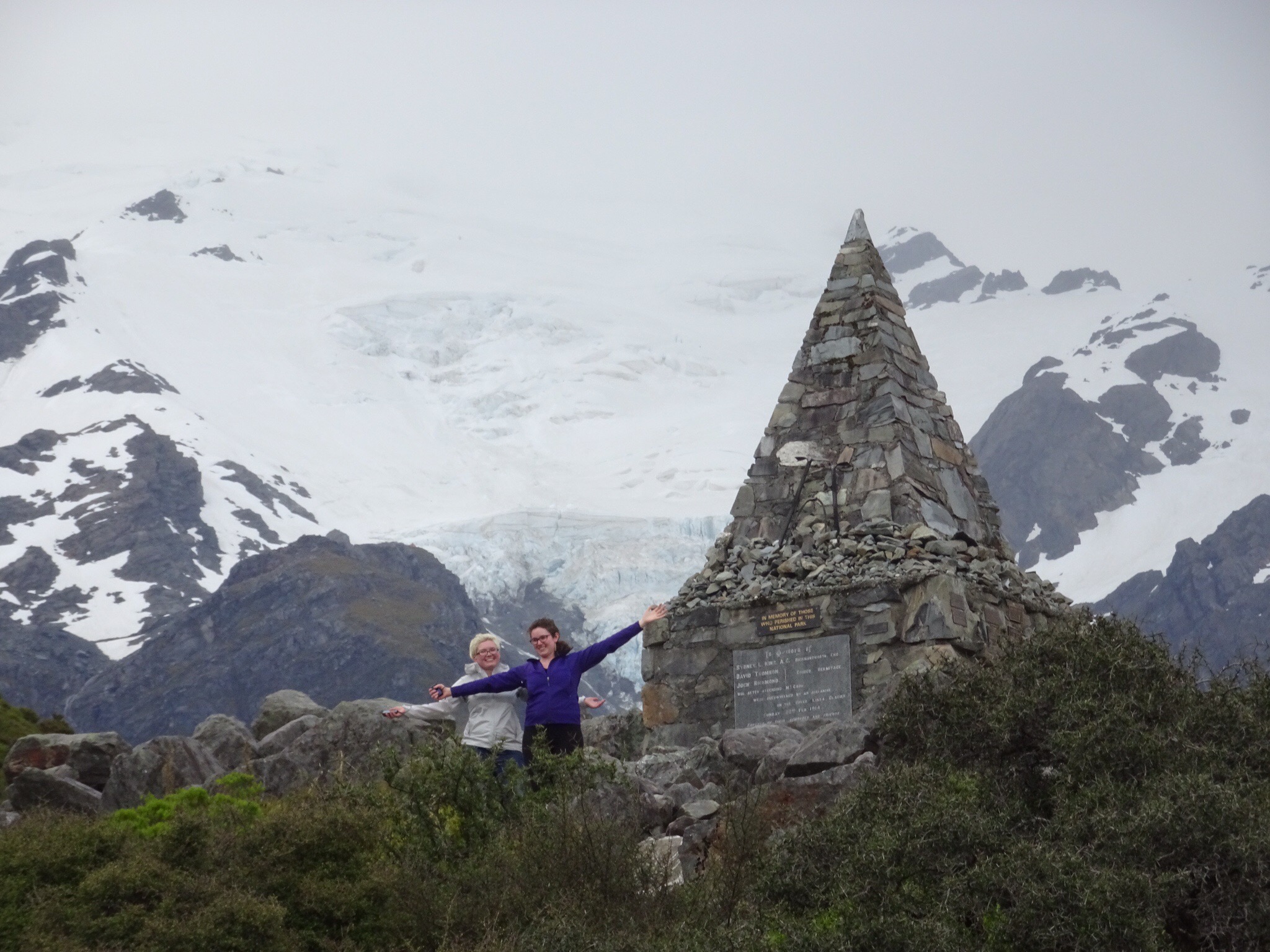
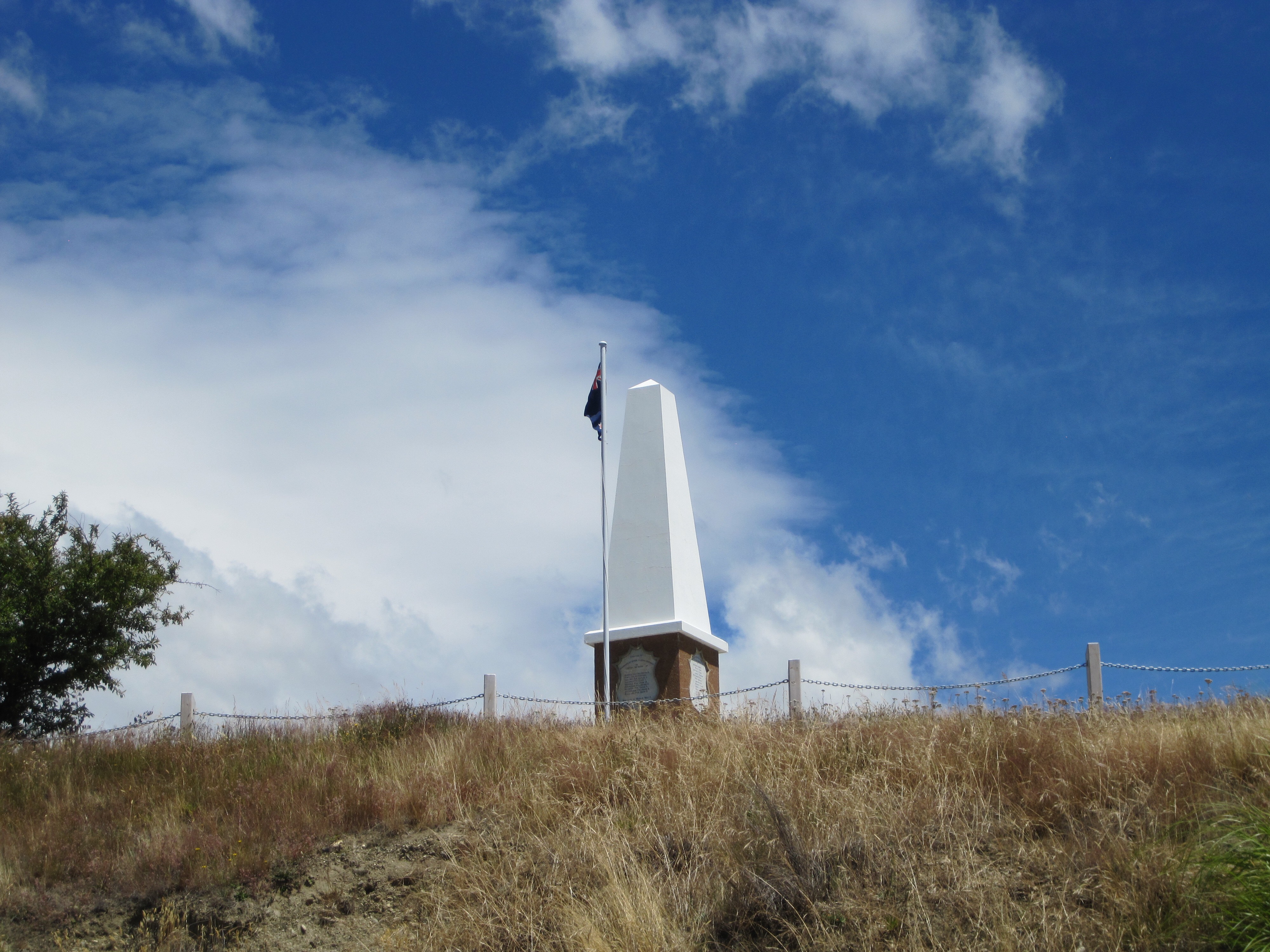
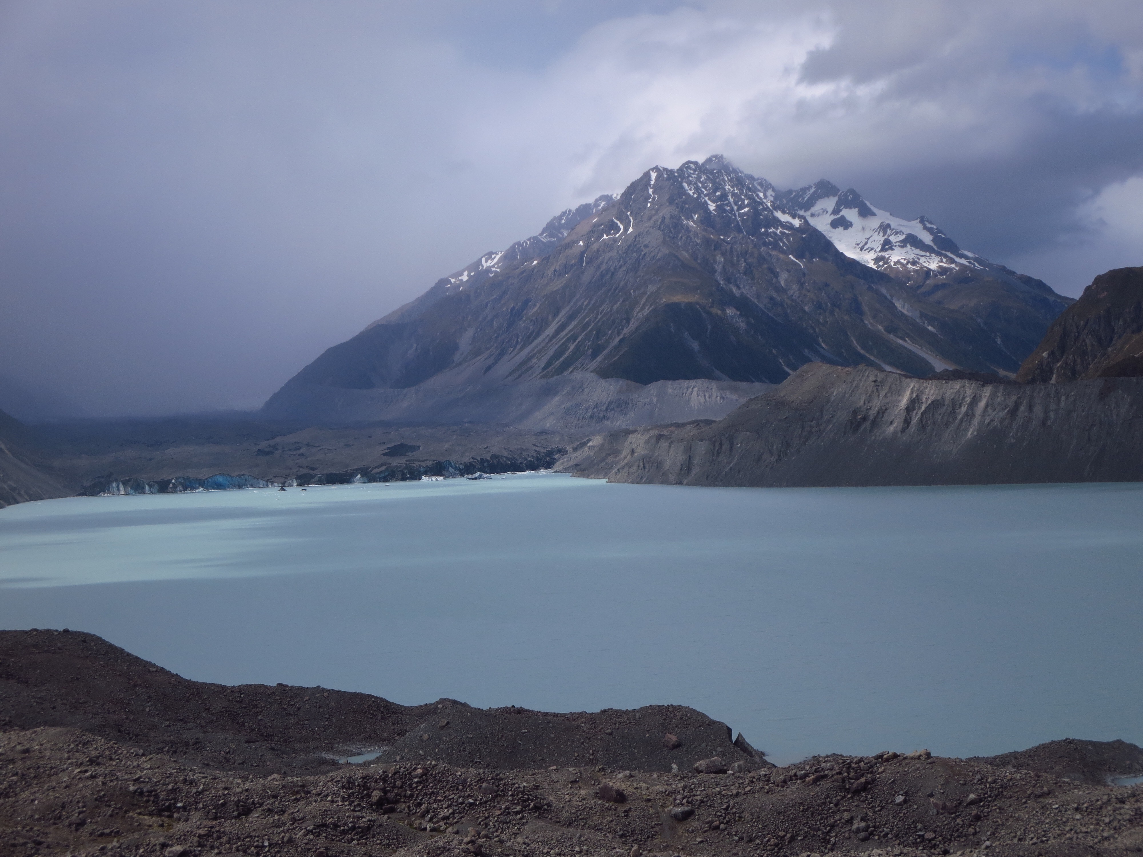
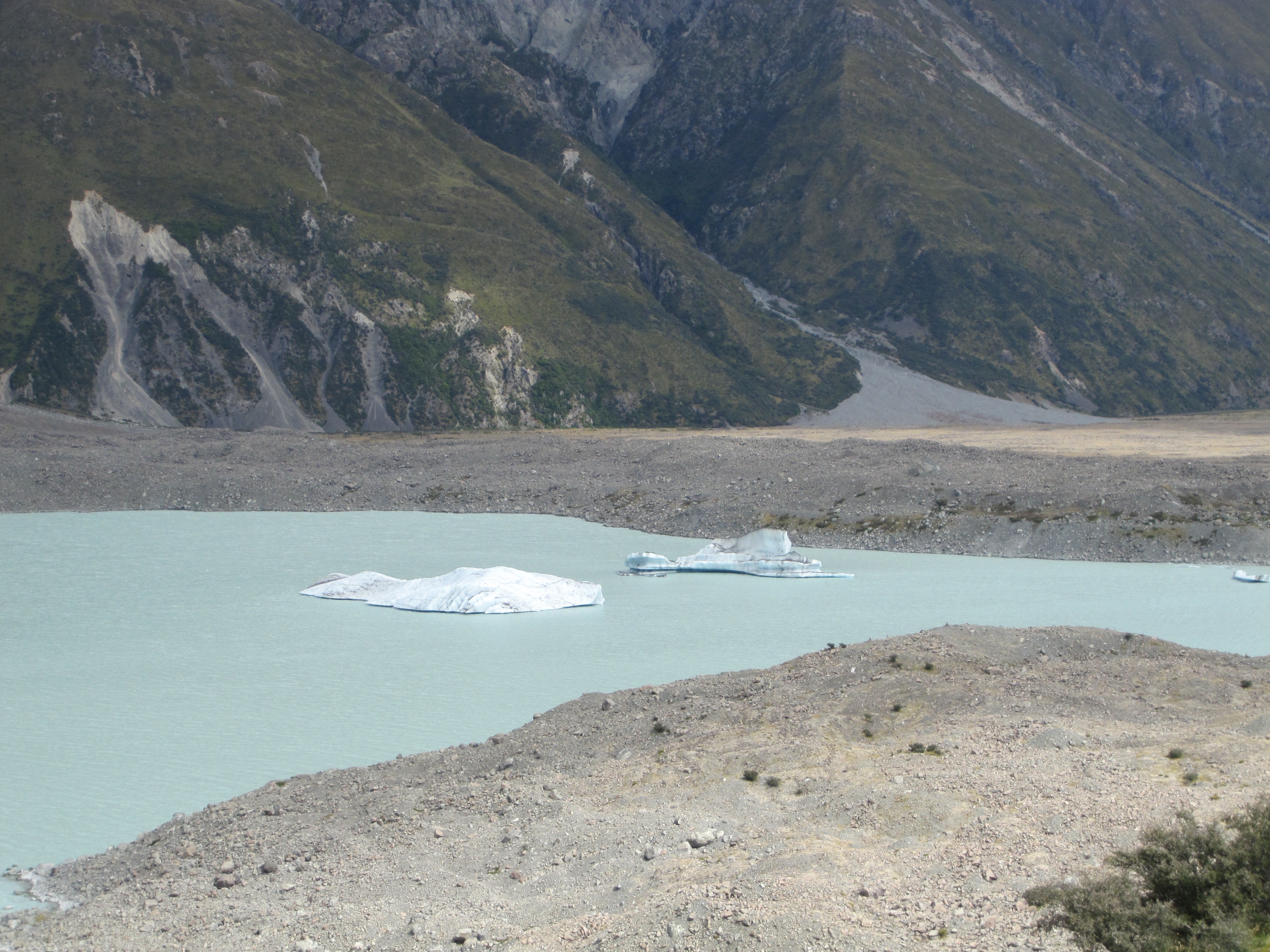
The kids found a monument on a side track, and I took a photo from the main track. Some things never change! On another walk on the same day, we viewed glacier accompanied by a glacial lake with floating icebergs.


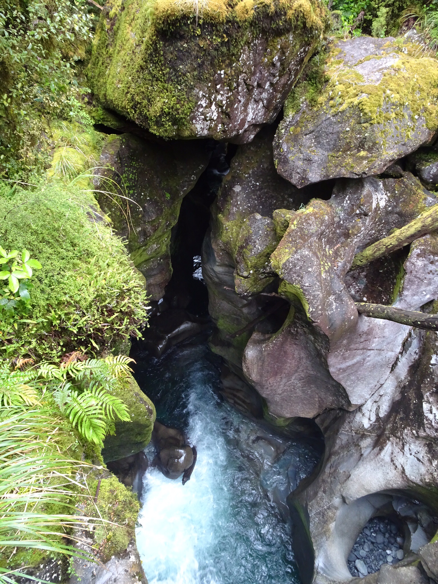
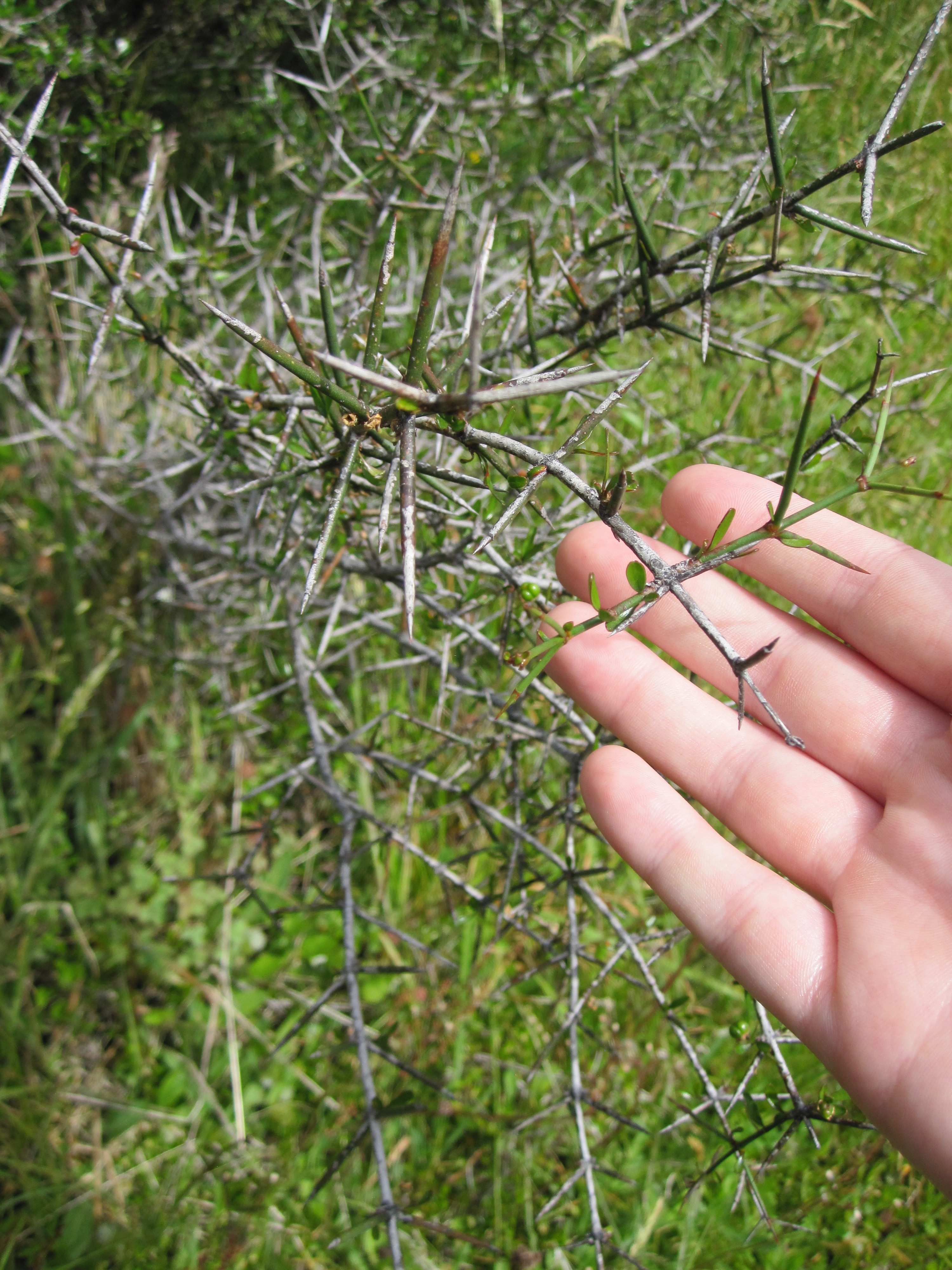
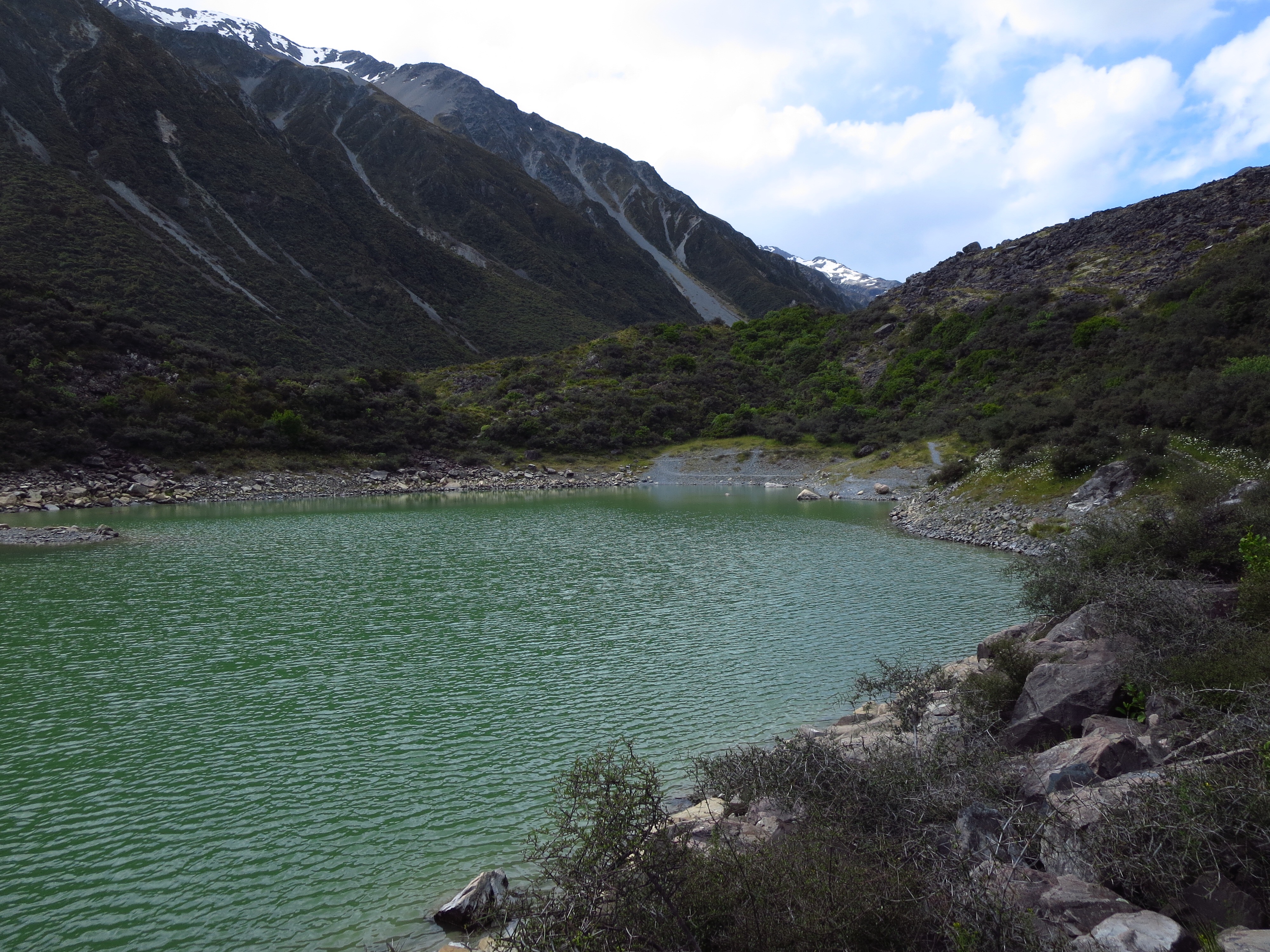
And of course, on the way back down the trail, we found a small side trail through the thorny bushes that led to a smaller series of lakes less discovered. It was mostly a well groomed trail, but sometimes it turned into a sharp glacial rock field with no warning.


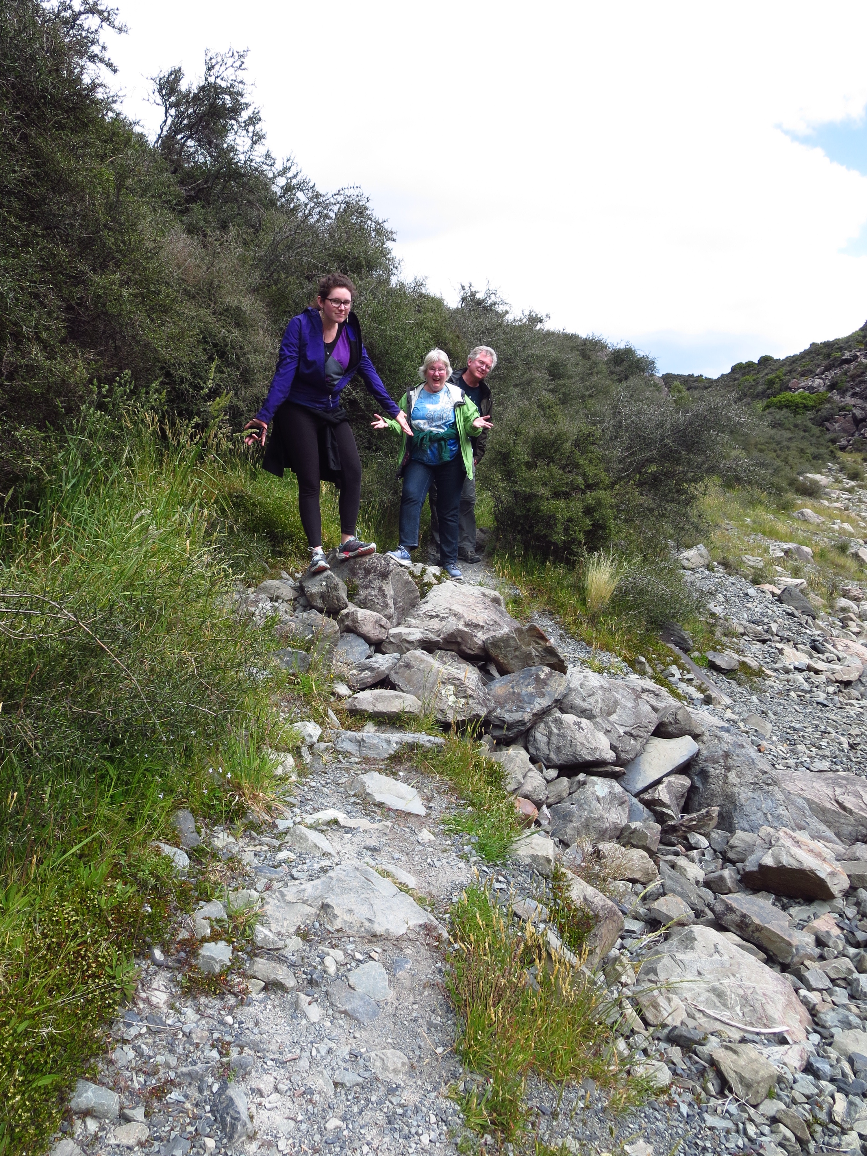
Worth it to see this jade green lake though!


That night we had a lovely dinner near our cabin, trying in vain to see the mountain that the village was named for. Where are you Mt Cook? Why is there so much fog?

*****Written By Clare and Laura*****


1/8/17 – I Wanaka go back already…

After some longer days, all of us were looking forward to two nights of peace in one place without stepping foot in the car. And Wanaka was the perfect setting for it. A ski town in the winter (remember that’s June) and a resort style lake town in the summer, the beautiful village offered a lot for us to do. We did have a much deserved sleep in though, and thus missed the windless morning and our second attempt to kayak was thwarted by monstrous gales. Oh well. So we took pretty pictures on the lakefront instead!

We had a tourist map of the main town, and on it was a lookout point that was supposed to offer panoramic views. So after the walk along the lakefront we ventured uphill towards the lookout. Turns out it was a huge hill, and we were ill prepared for a strenuous hike, so we set our sights on a random tall hill that was closer. That’ll do.


After getting a light lunch on the lakefront, we went to the store and found lamb steaks to barbecue for dinner. Our little town home was spacious, had its own deck and grill. Very nice!

*****Written By Laura*****

Milford Sound 1/7/17

Laura and Checkers watched the sunrise at Te Anau, because we had to get up early to drive to Milford Sound for our boat trip. Along the way, we visited a few sites (because on the way back, we needed to go as quickly as possible to make it to our next sleeping place). 

This place was called the Chasm, because of the steep, narrow gorge that the river carved there.

We then took a cruise on Milford Sound, which is wrongly named because it is a fjord, glacially carved. But that’s not all! The Alpine fault also runs through the “sound”, making the geology and topography complex. We took hundreds of photographs on this memorable cruise.

It’s tough to capture how tall and monumental the cliffs surrounding us were. They towered above the sea, at least 200 feet of sheer rock dotted with resolute trees.

The boat took a bath in that waterfall shortly after this photo was taken.

None of the photographs do justice to the Milford Sound. It was actually passed by Captian Cook because he thought it was a small cove rather than a long, deep fjord. This is partially because the fjord has a curve in it, making it seem (from the sea) that it ended.

After this unforgettable cruise, we drove back north on the way to Mt. Cook. On the way, we saw another New Zealand native, the kea! This is a large sassy mountain parrot.


Fast on its feet though and tough to take photos of!

We stayed in a mountain town we had already driven through, called Wanaka. This was another two day stint, so we were glad to arrive and get some nice tapas.

Long day! 

*****Written By Clare*****

Crossing the Plate Boundary! 1/6/17

This whole time in New Zealand has been on the Australian Plate. The big (strike-slip) fault that separates it from the Pacific Plate goes through the South Island, along the western edge, and exits south of where we landed from the ferry from the North Island. Today was our first good view of the Southern Alps, a well named super steep mountain range along the western edge of the southern island of New Zealand. Water is abundant on the west side of the fault, as well as the ferns we have grown to admire. Crossing them led to terrain that was dryer, and grassier. And to our surprise, the valley was full of flowers that we recognized!


No, I don’t think the lupines arrived with the tectonic plate. This first day we saw them, they were constrained to a river valley, so we guessed that someone brought seeds of their favorite flower here, planted them, and this is the result. Life does have a way of reproducing.

This spiny, dangerous plant is called “Wild Irishman”. We hypothesized that if sheep were to go through a field of this stuff, it would look like it had “snowed” wool.

The Remarkables were aptly named. Steep, rocky mountains to our left as we drove south near the giant fault.

We drove into Queenstown for lunch – a crowded touristy spot – but we found a cute cafe called Red Rock.


Now, we have to get ready for a big day! Tomorrow, the famed Milford Sound was our destination.

*****written by Clare*****