Sunday came with mist and a bit of wind. Our first scheduled activity wasn’t until 4:00, so we drove south from the island which the National Geographic map calls Mainland but most people call Orkney. We thought it would be interesting to see more than one island in the Orkney island group. The southern most tip of Orkney (or Mainland) is a small town, St. Mary’s, which is connected to the next island, Burray, by a causeway.
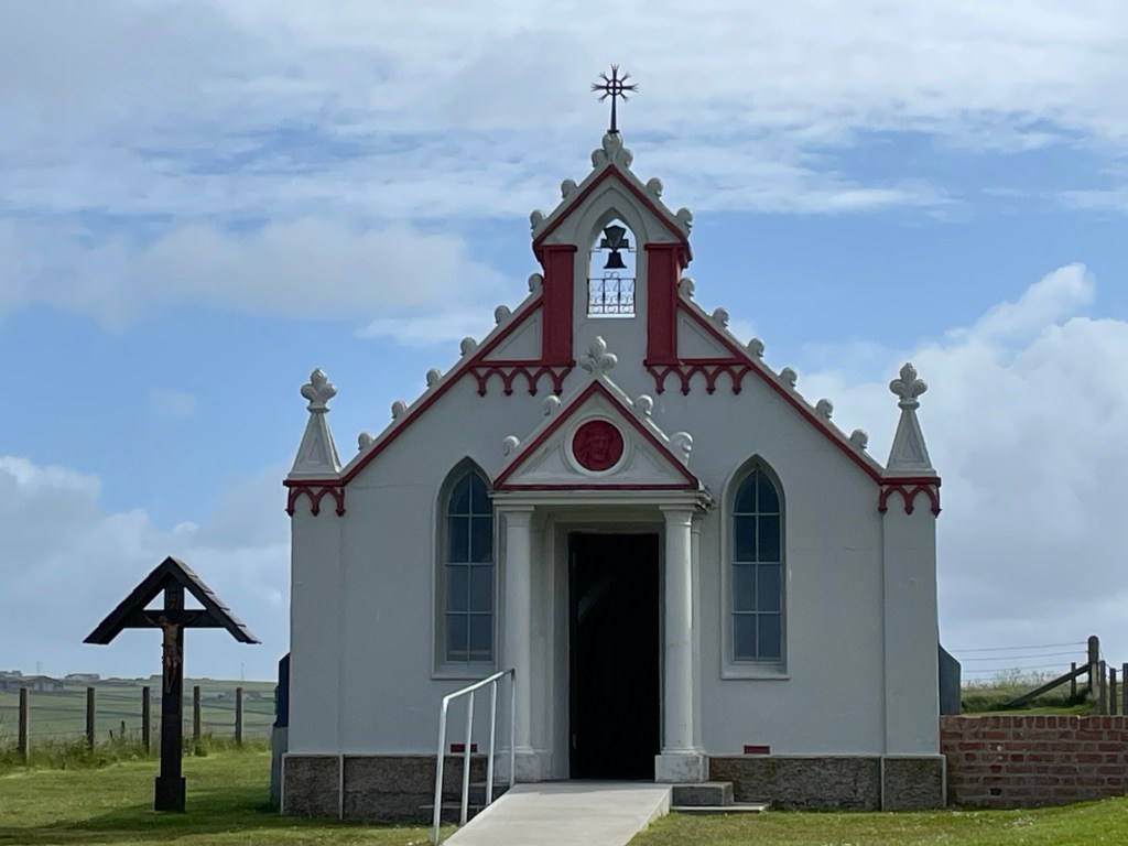
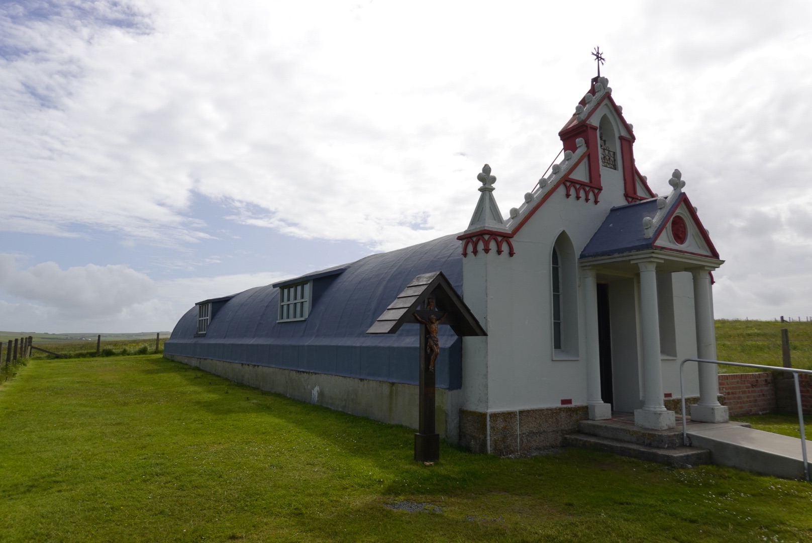
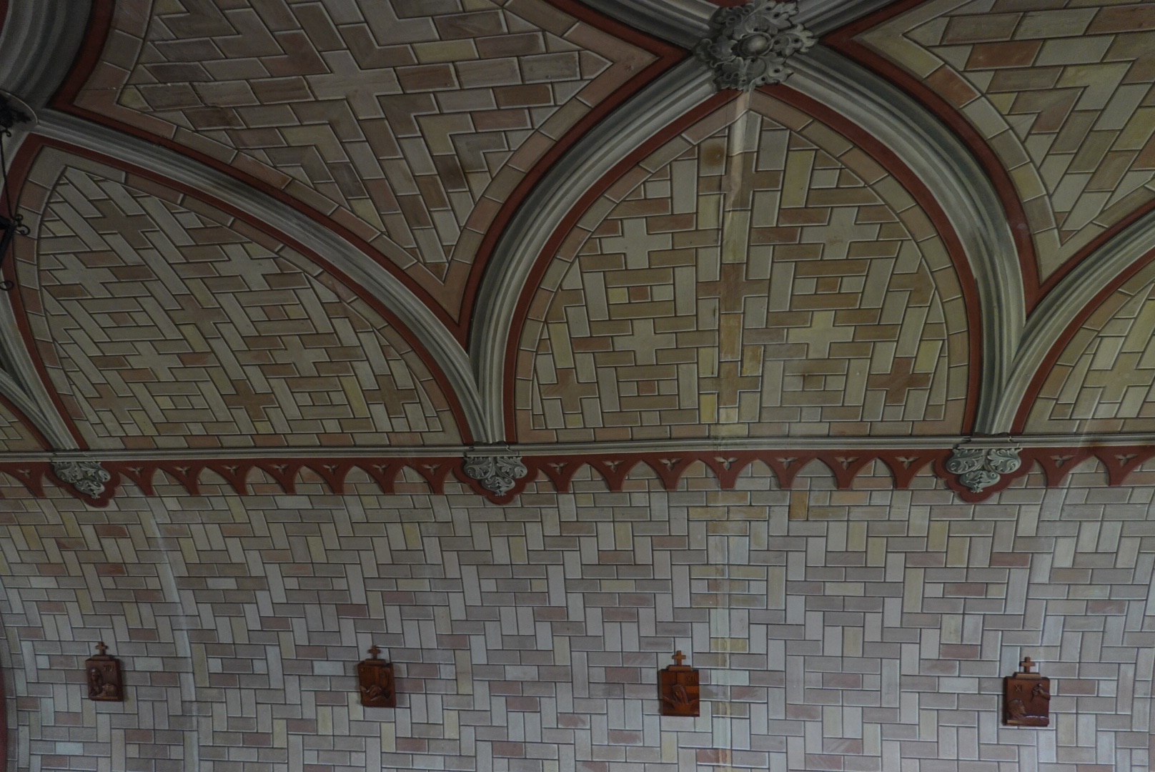
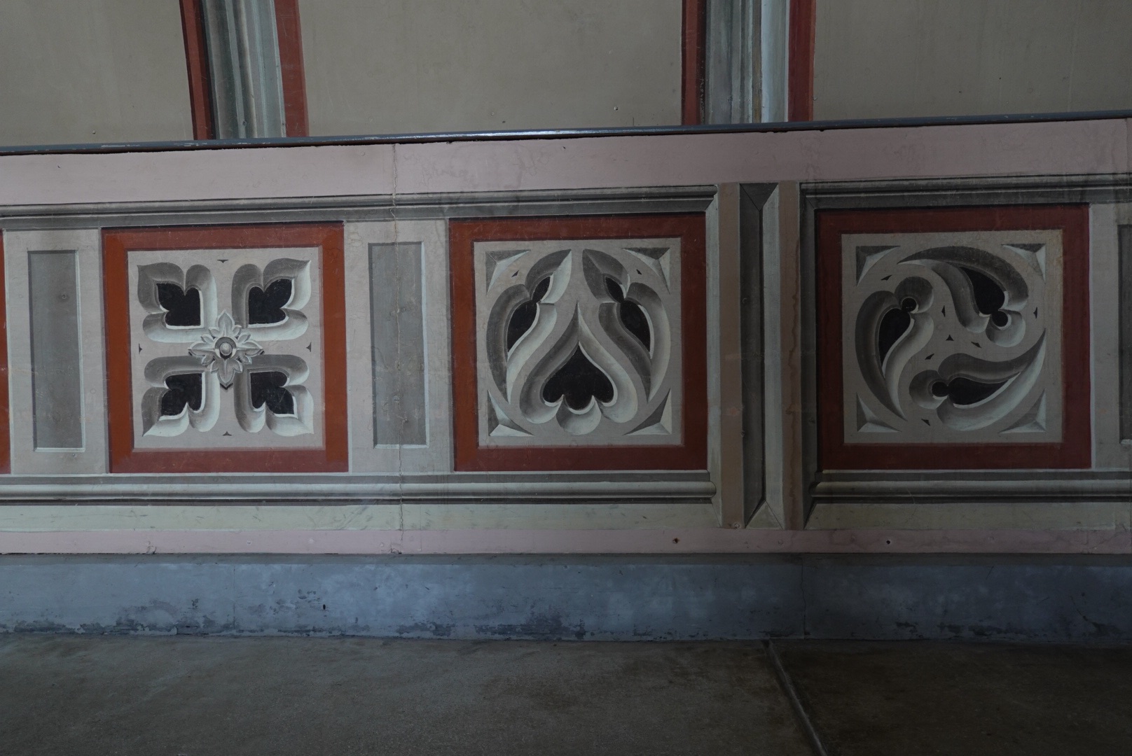
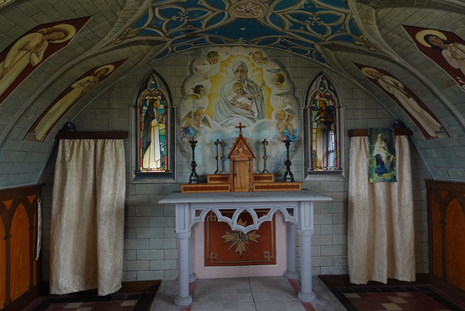
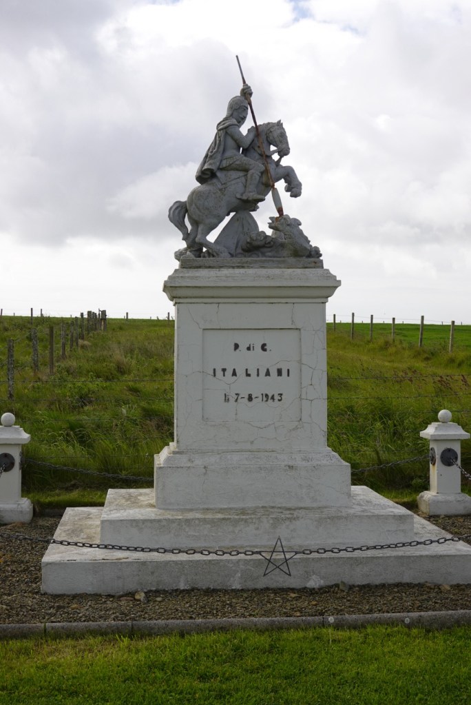
The northern point of Burray housed the Italian Chapel, constructed by WWII prisoners of war. These Italians asked the British if they could build a church to practice their religion. Since many of the soldiers were artisans from Italy, the church is beautiful. They used whatever they could find for construction materials, and painted flat surfaces to look like tiles. Incredible talent!
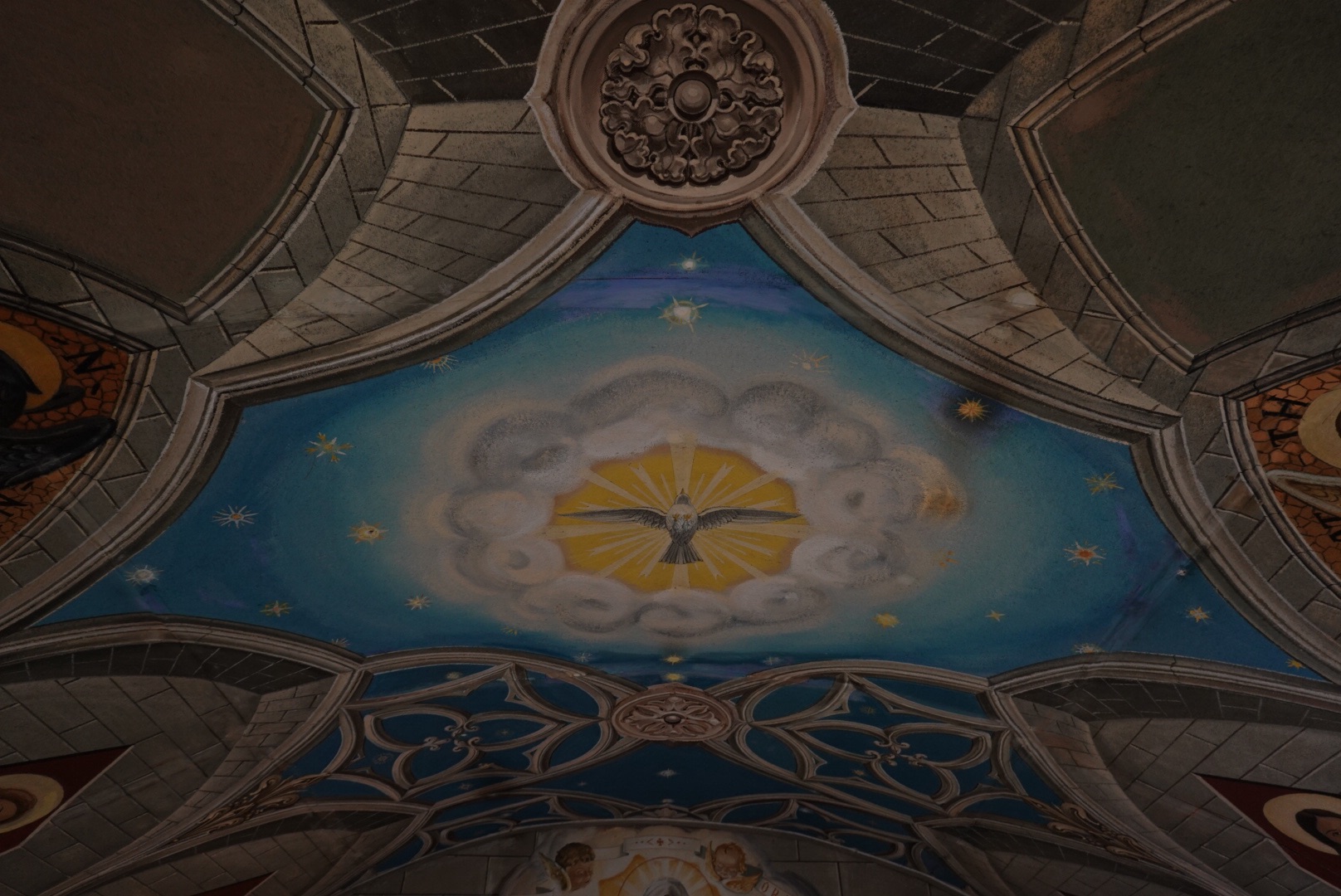
Front of the “Italian Chapel”The artisans used Nissan huts for the main part of the chapel, similar to Quonset huts (US)Painted to look like arches.Real tiles? No, painted relief! Again.The alter.Painted ceiling in chapel.Statue in front of the chapel left by the prisoners who built the chapel. They left a scroll with their names inside the statue. St. George slaying the dragon.
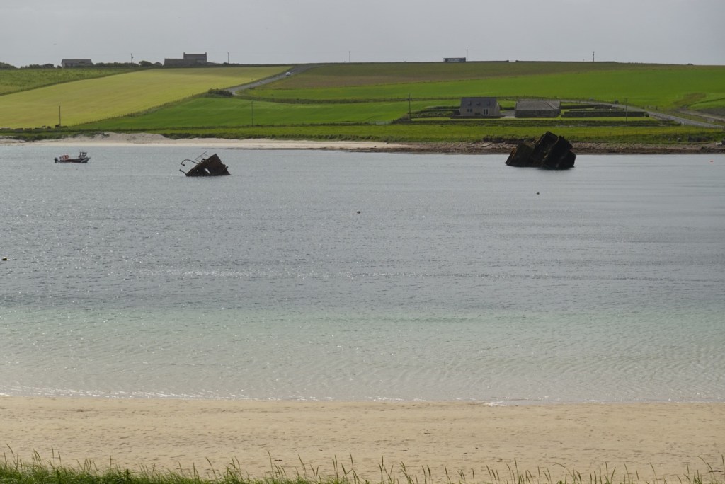
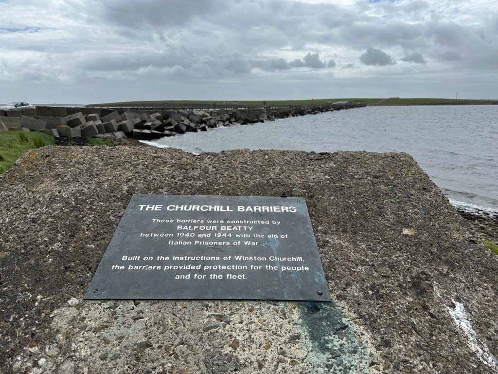
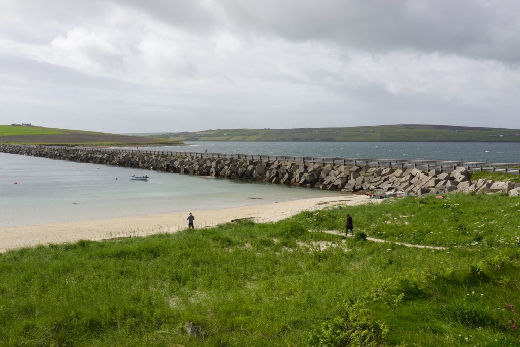
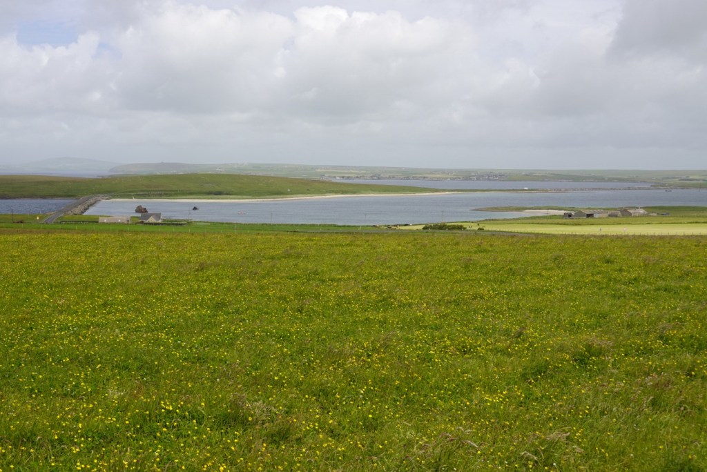
We continued to the more southern islands across causeways and one Viking bridge. Many WWII ships were sunk in the Scapa Flow, and now it is a magnet for scuba divers who like to see shipwrecks. Some of the ships are visible as you go over the causeways.
Sunken ships in the Scapa Flow.
The causeways do not allow water circulation, so the water levels on either side are different. This has changed the local ecology of the flow.
Churchill causewaysDifferent water levels on either side.Different ecosystems on either side of the causeways.
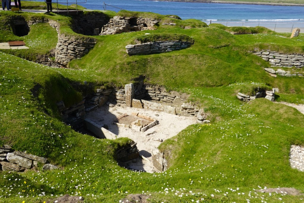
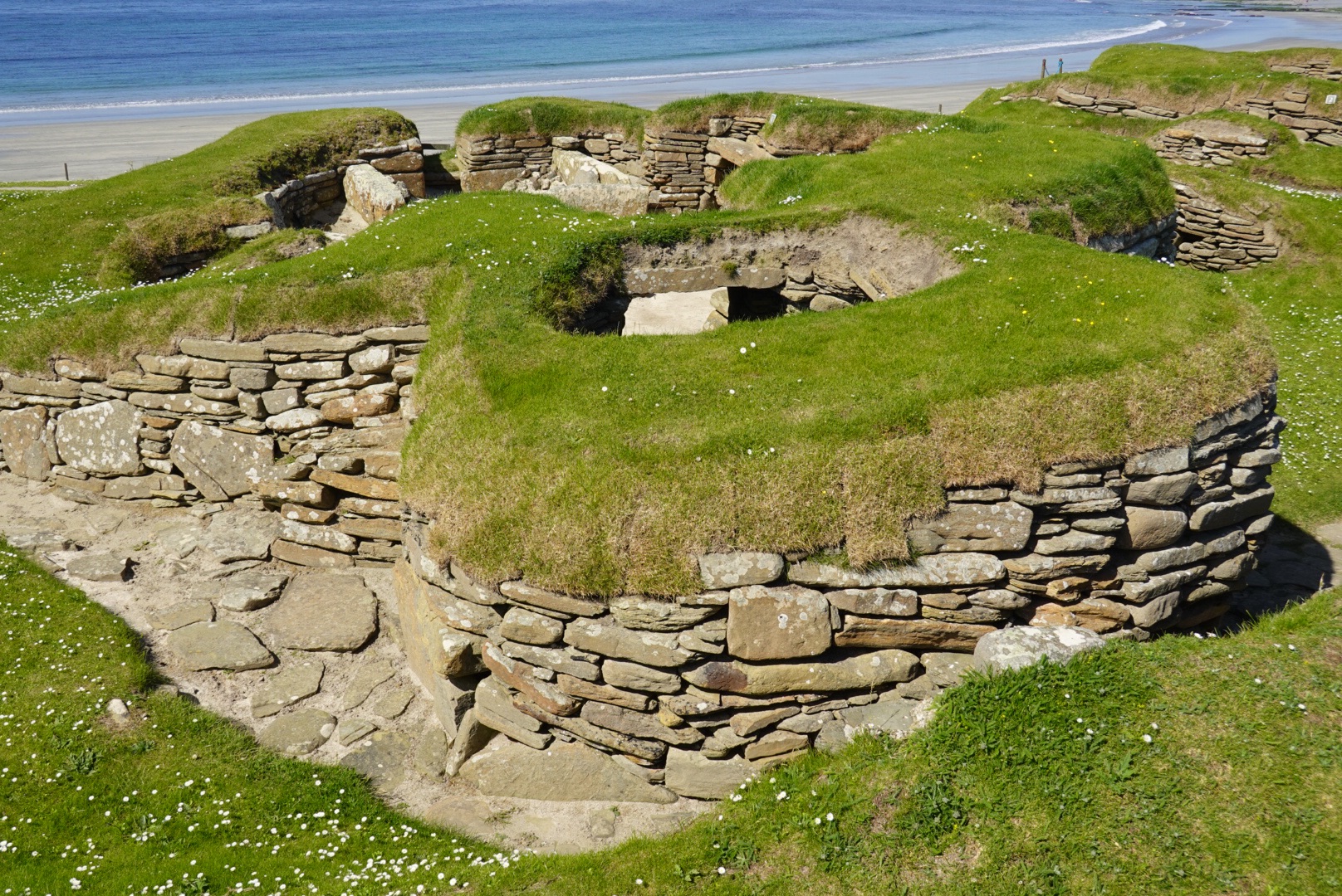
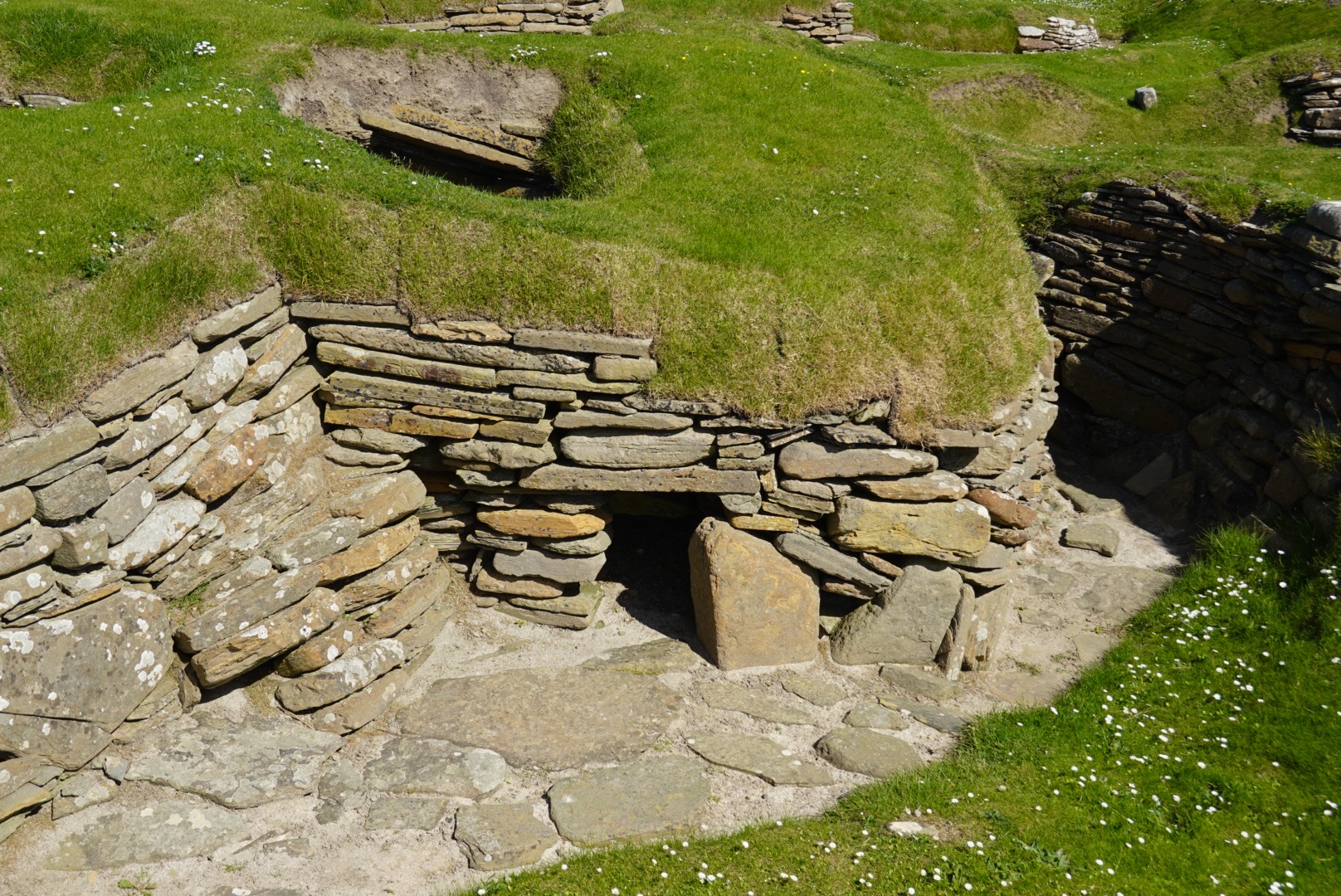
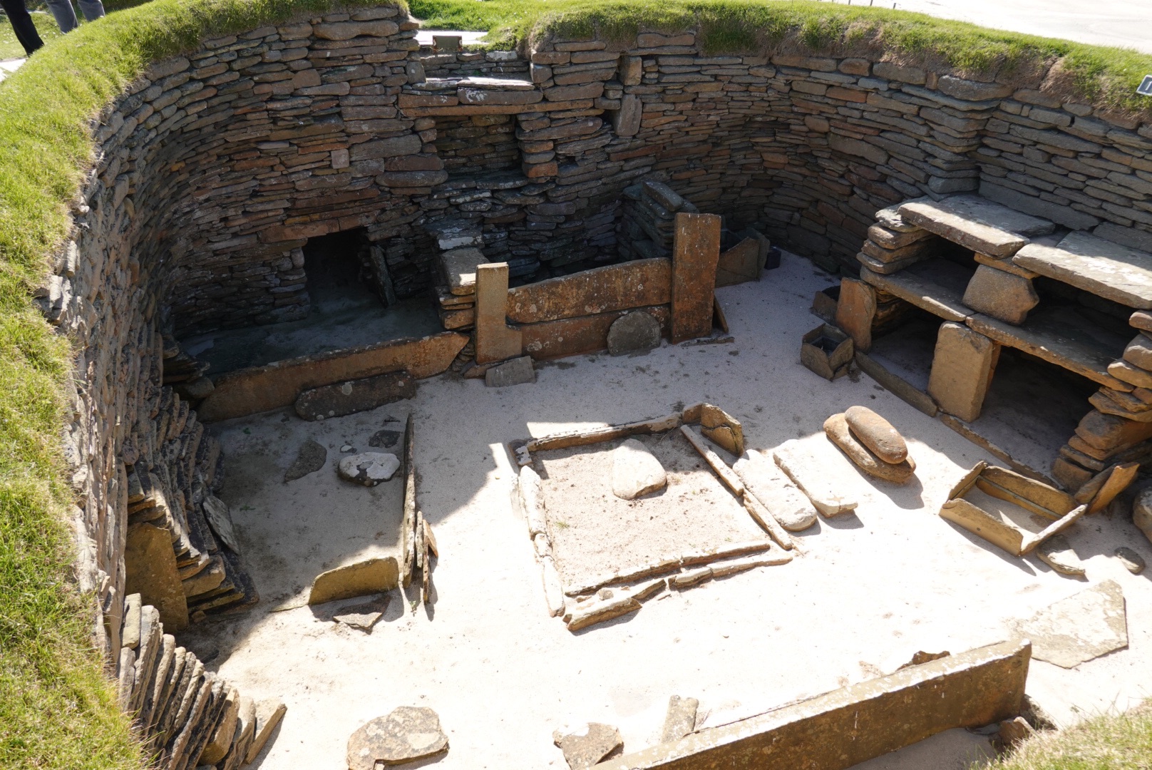
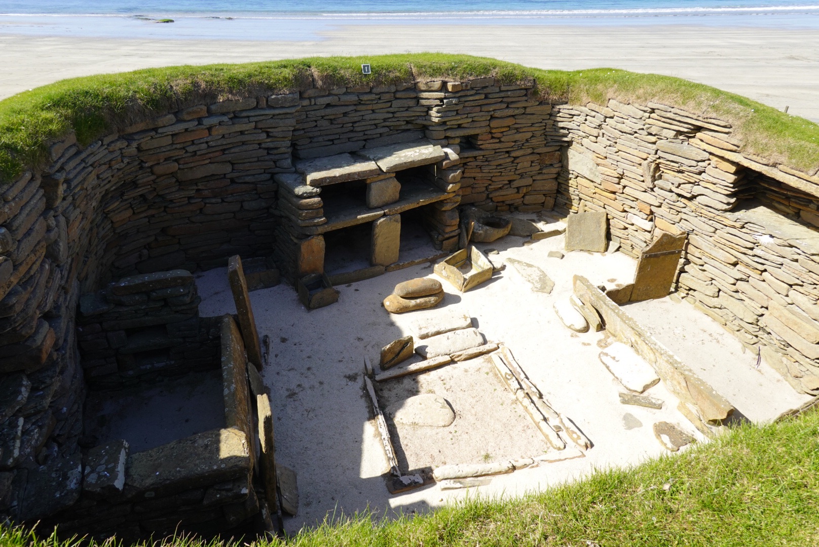
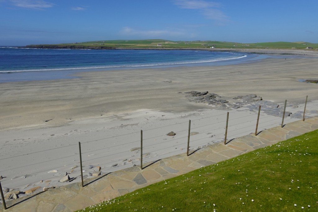
Next we visited the fourth of the UNESCO siteson Orkney, Skara Brae, a well preserved Neolithic site of a small town. Ten buildings are partially uncovered; all but one are interpreted to be houses. The tenth building is thought to be a place to make things.
Overview of Shara Brae, which was a thriving village long before Stone Henge or the Egyptian Pyramids.View of a few of the houses.Doorway to one of the housesA dwellingClose-up of the room that reveals some of the unique construction and details of daily life
The beach adjacent to Skara Brae is beautiful. So much sand! Very flat.
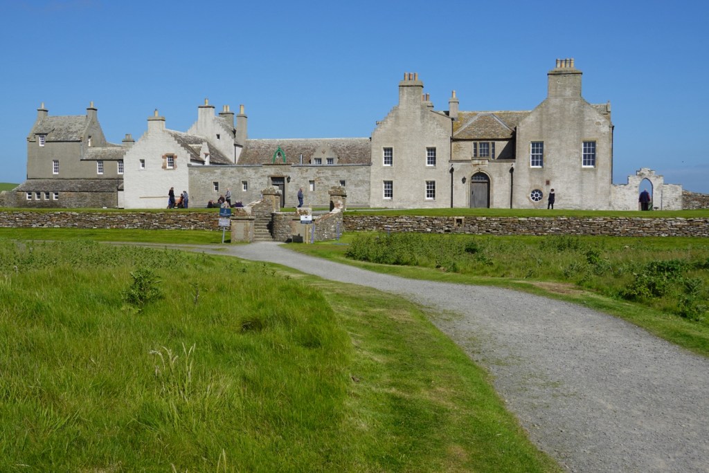
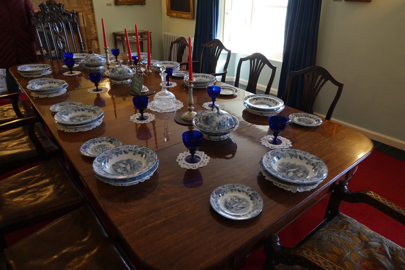
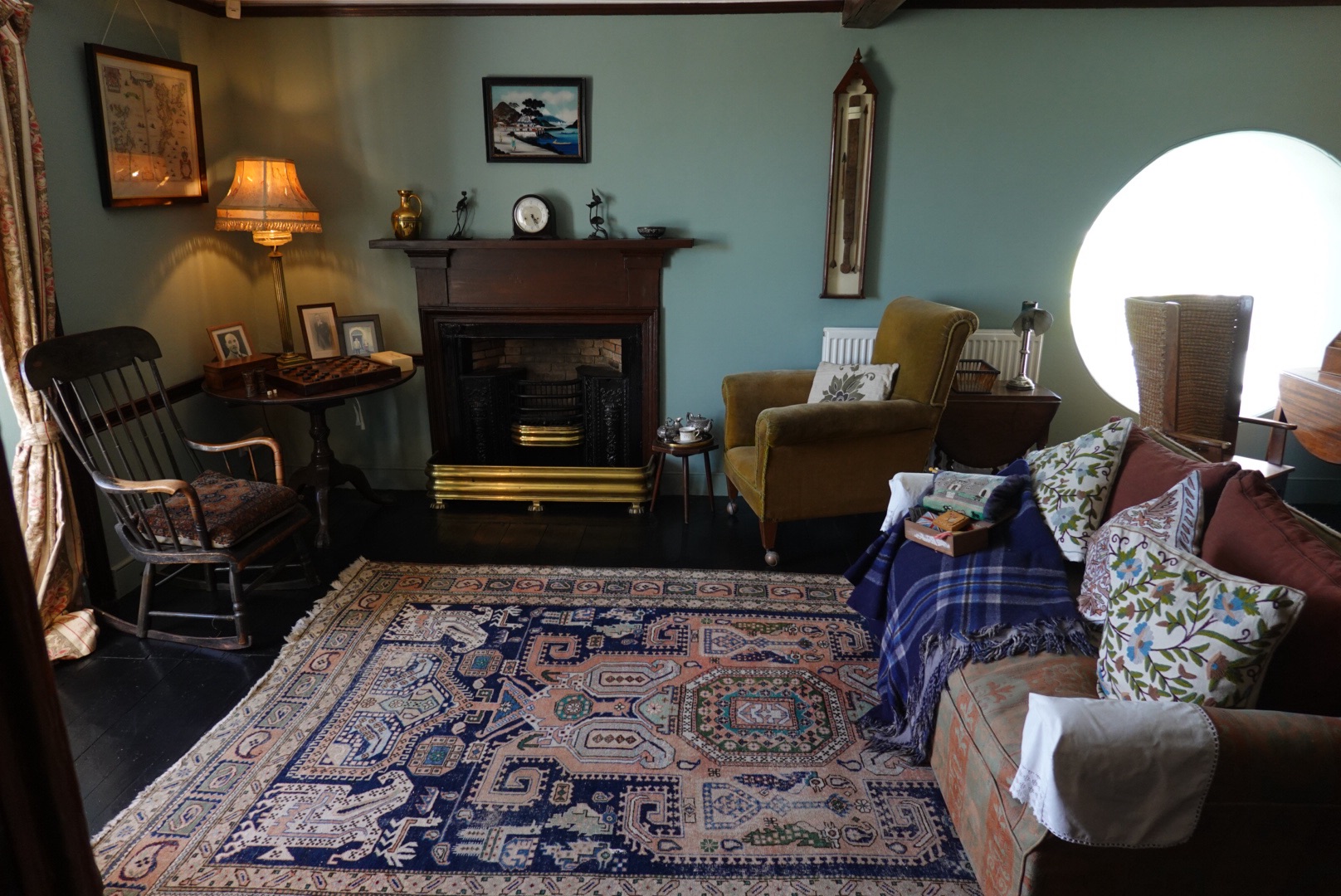
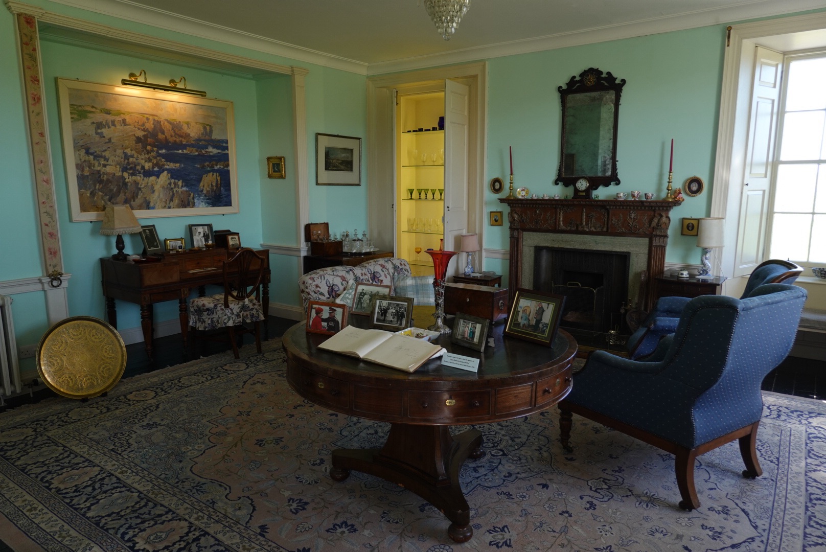
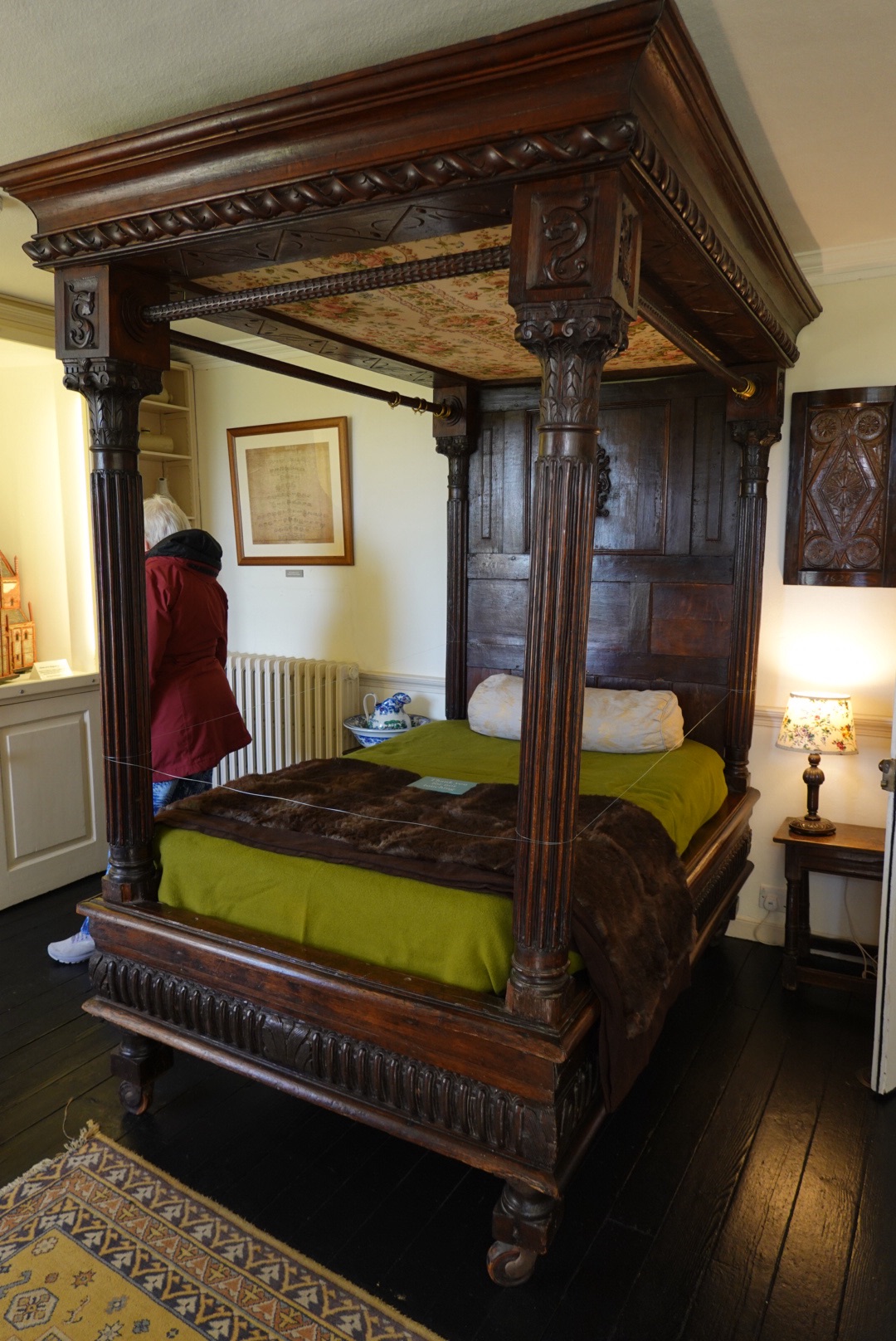
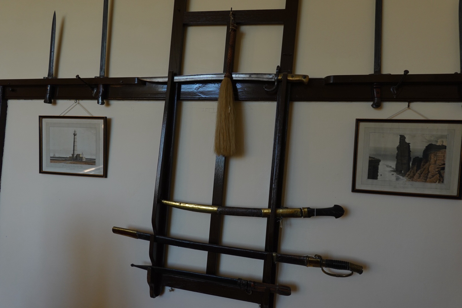
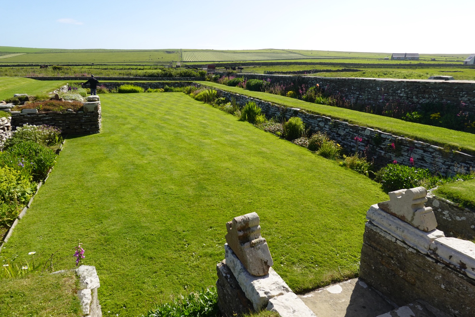
Part of the ticket to the Neolithic site included a tour of the castle of the family (Watt) who owned the land where the site was discovered in 1850 after a big storm. They lived in that castle for many generations And owned some beautiful place settings, which are on display.
Skaill House, “castle” near where the Neolithic site was discovered. Fine place settingsSitting room in castleDrawing roomBedroom in castleOld swordsSunken garden
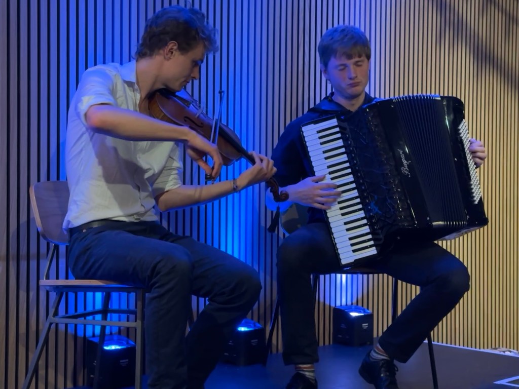
Back in Kirkwall, the St. Magnus International Music Festival is a week full of activities, happening while we were there. Before we arrived, we purchased tickets to a performance by two young men, one playing a violin, or fiddle, and the other a special accordion on which he could change the left keyboard to play either single notes or chords. They called their act folk music, but it was almost all instrumental. Both are talented musicians, and we enjoyed the performance. A nice way to say goodbye to Orkney.
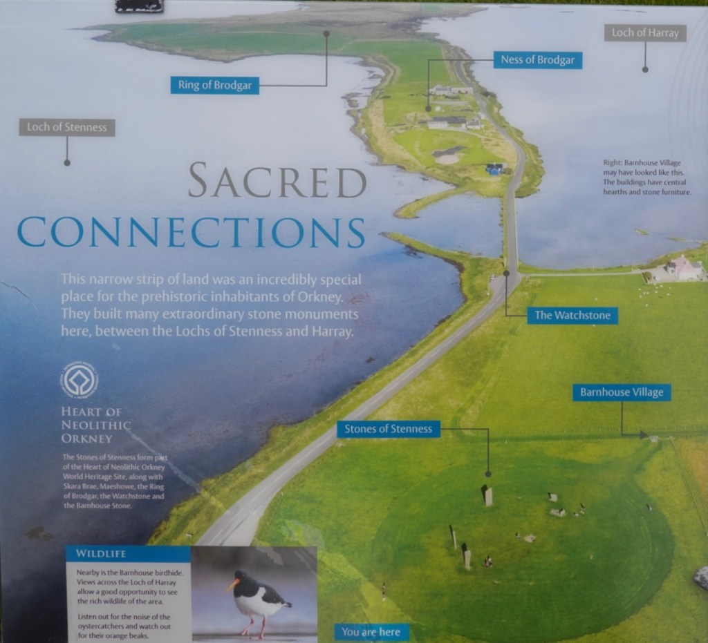
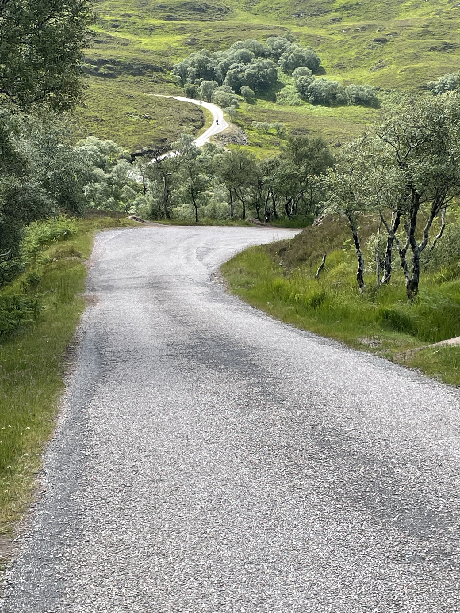
A good thing about visiting Orkney is that everything is relatively close, so no drives over about 30 minutes. Of course, one must still deal with single-track roads with passing places, or sometimes not enough passing places! We had three sites in the plan, two reserved in advance.
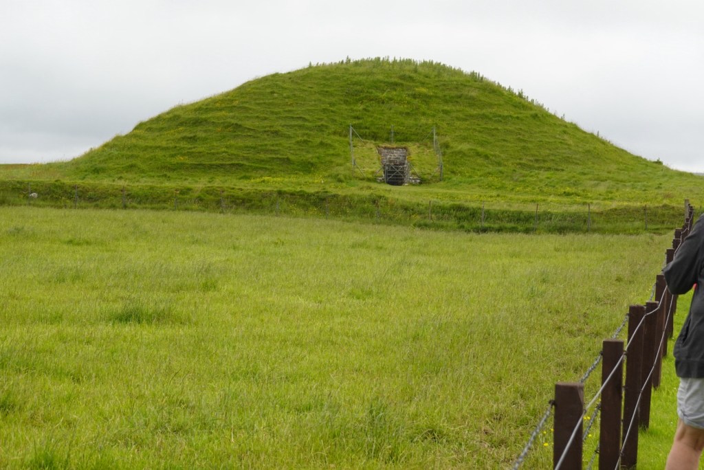
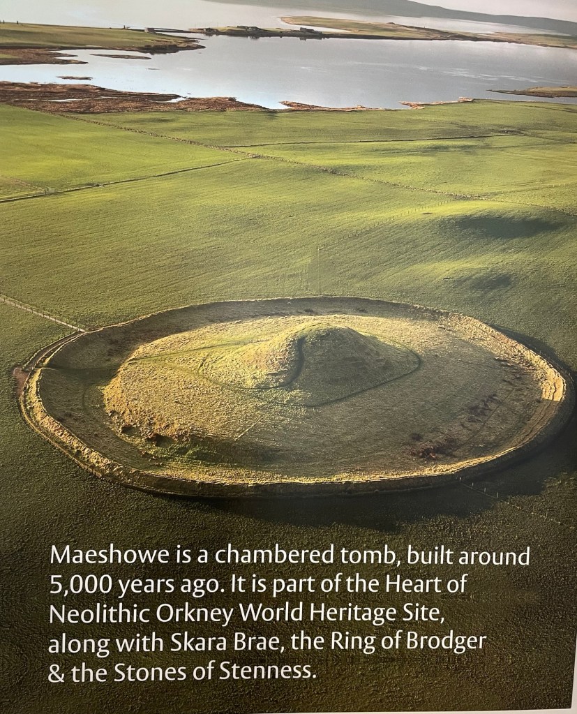
First, a guided tour of Maeshowe, a Neolithic burial site similar to the one we walked to yesterday, but much better preserved. Awesome to have a guide, Carey, to explain it all.
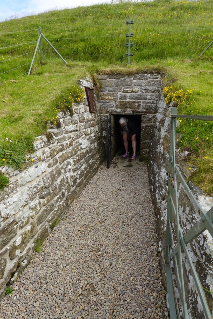
We had to walk bent over for about 30 feet to reach the midpoint of the cairn. No pictures inside, of course, but the tour was worth it. The guide did a wonderful job explaining things.
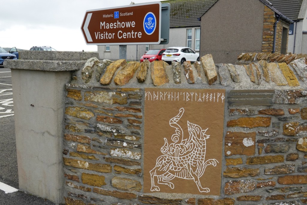
The site was made in Neolithic times, latter part of the Stone Age. Later, in the Bronze Age, Vikings also used the site. Some left messages, mostly their names (the guide thought the messages were from bored teenagers — graffiti like what happens today). She explained how to read the Viking runes, and showed us the etching that became the symbol of the site. (Pictured above.)
Mound of MaeshoweEntrance into the moundArtistic portrayal of Maeshowe, showing the henge and ditch
Carey also explained the henge, the low wall that encircles most sites of this approximate age. She said that the henge was to separate the outside, where normal life occurs from the inside, which deals with matters of a more spiritual nature.
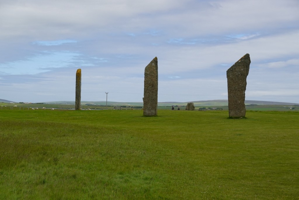
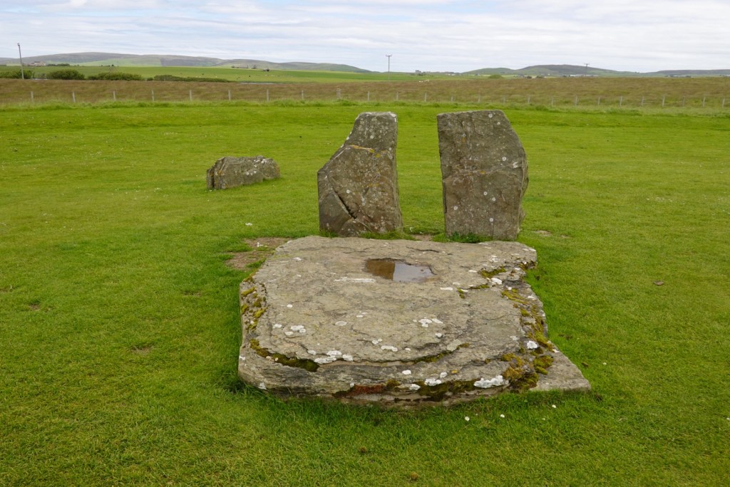
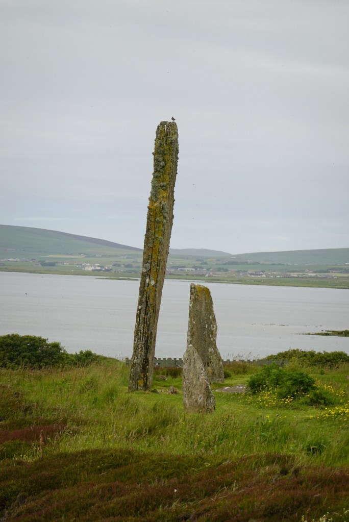
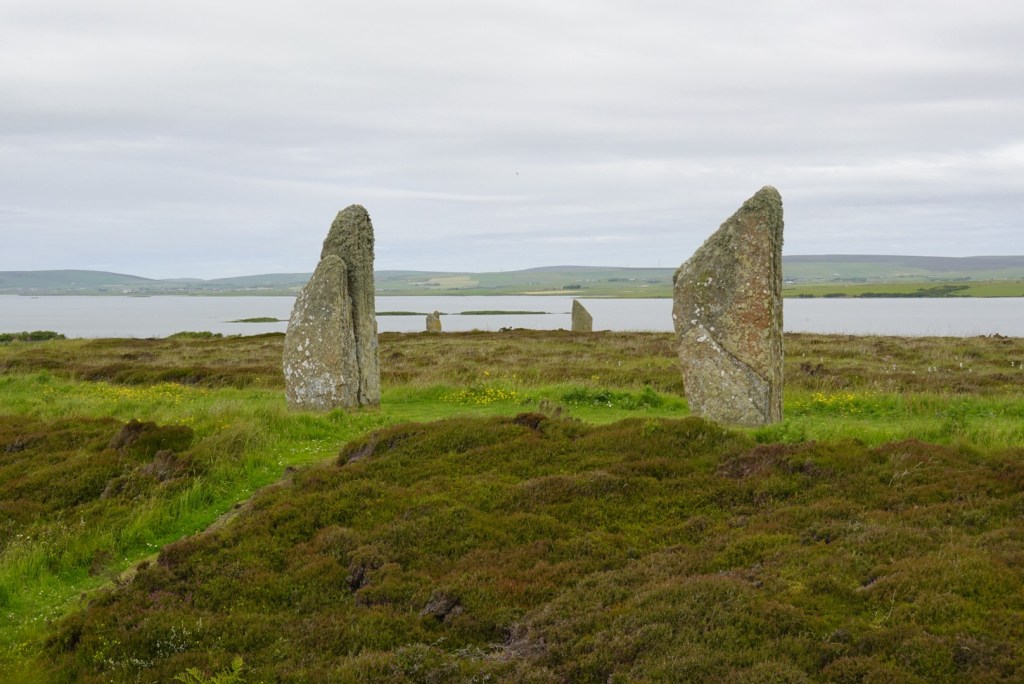
We next went to a site that had no guided tours, Standing Stones of Stennis. So many tour buses! We waited for a break in the crowds before venturing to the site. Fortunately for us, the cruise-ship tourists had limited time, so we didn’t have to wait long. Also, we had leftover pizza from the night before, so we ate lunch in the car.
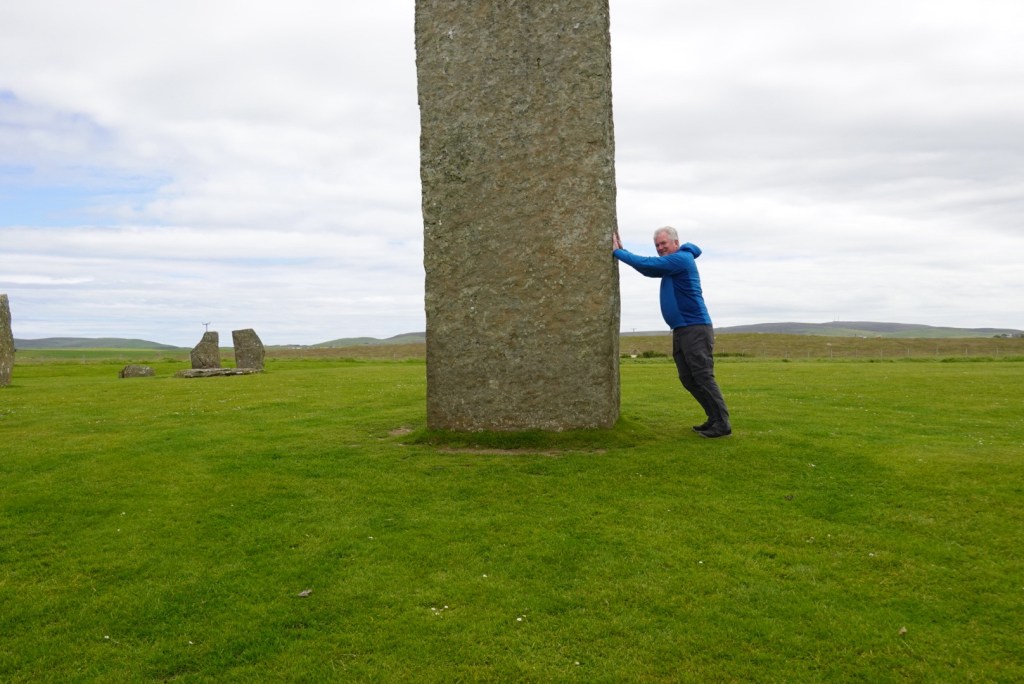
Standing Stones of Stennis, those still standingThis one is thought to be a doorwayBrian is trying to follow Claire (Outlander) to the past! Oh no!
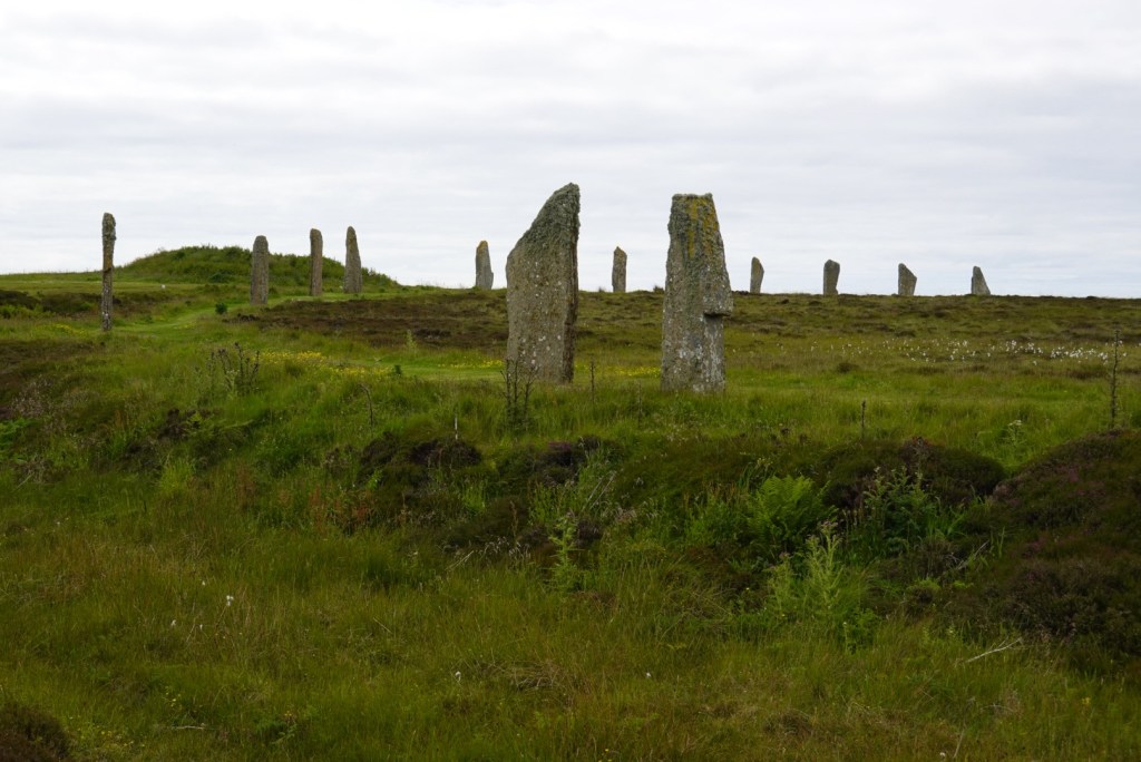
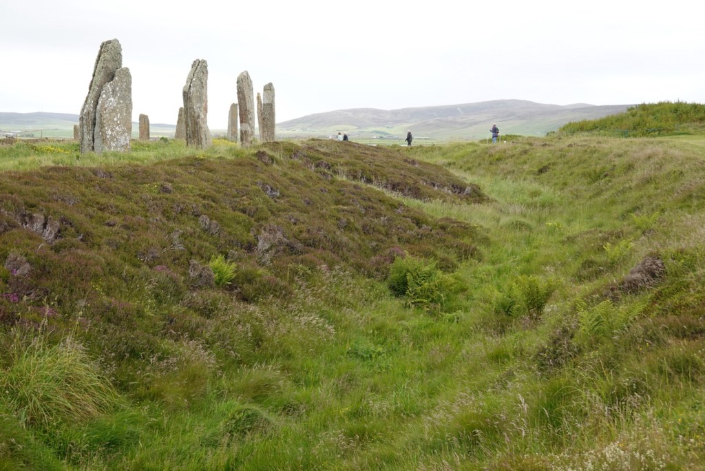
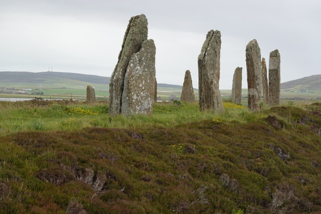
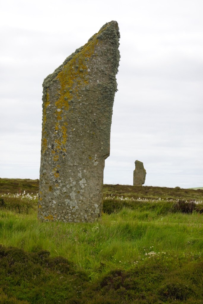
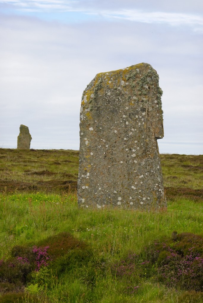
The third part of this UNESCO World Heritage Site was a Ranger-led tour of one of the largest stone circles known, the Ring of Brodgar. This is the only site known to our guide that did not have a henge surrounding it. But it did have a big ditch surrounding the ring of stones, which allowed access to the center from only two points about 180 degrees apart.
The guide asked us to think of reasons for the ring of stones. My favorite was a market, like our farmer’s markets today, with only two entrances so that thieves could not escape easily. The ditch surrounding the stones was cut into the bedrock, accentuating the bright white circle.Two of the stones. Unfortunately, people were not allowed inside the circle at this time. Two of the stones, with heather in front.So many stones! This site is about 600 years older than the more famous Stonehenge in England.
So many Neolithic sites so close together! Perfect as a UNESCO Site.
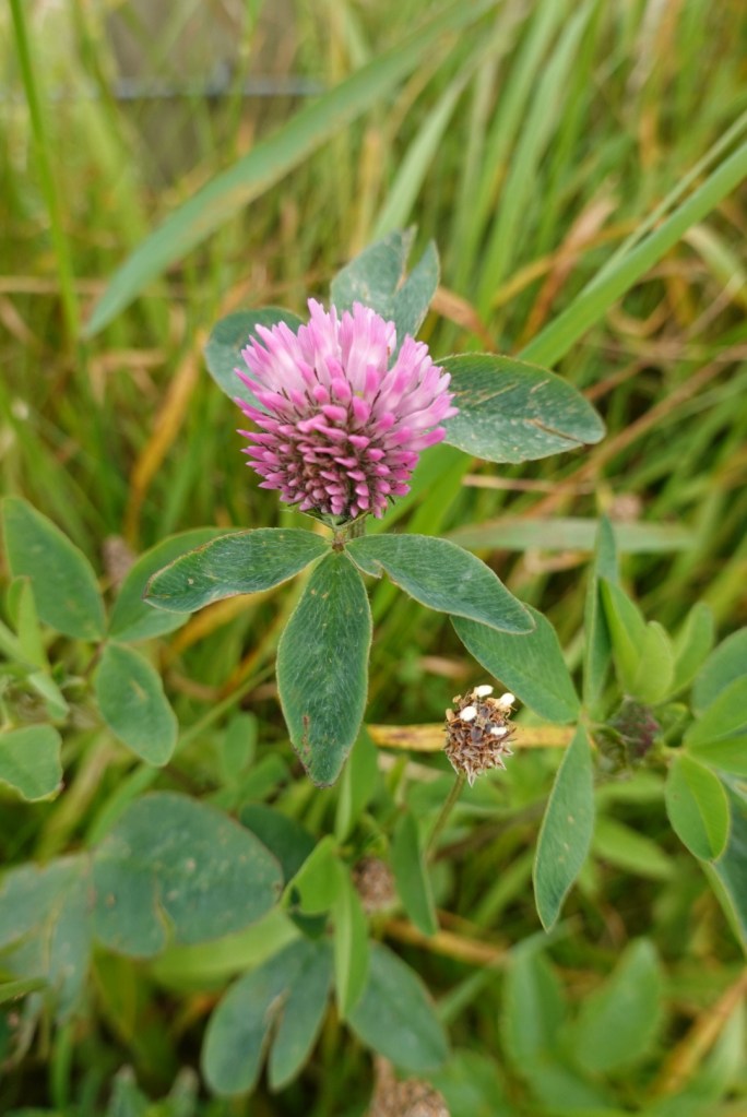
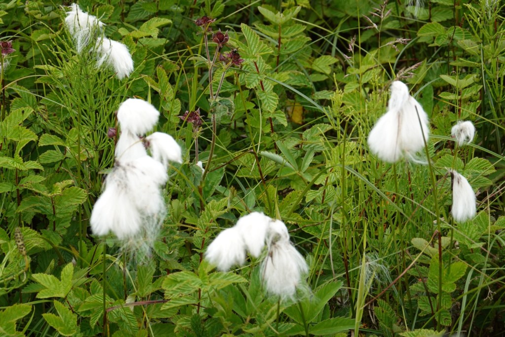
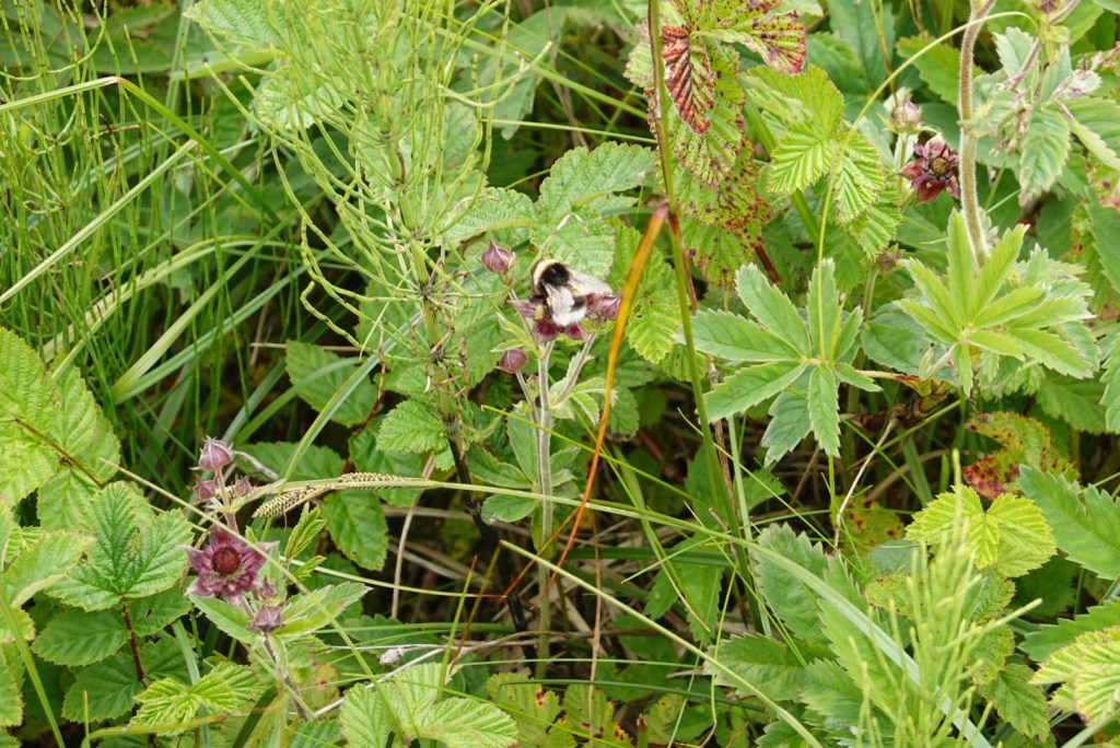
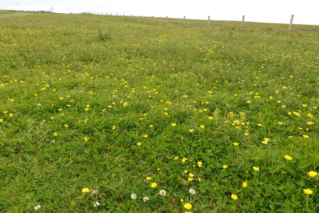
We enjoyed looking at the plants at all these sites as well. The Ring of Brodgar is covered with wildflowers. Here are a few examples:
CloverBog cottonEndangered bumblebee on flowerButtercups and marsh marigolds
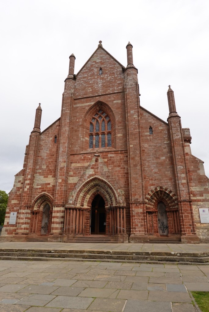
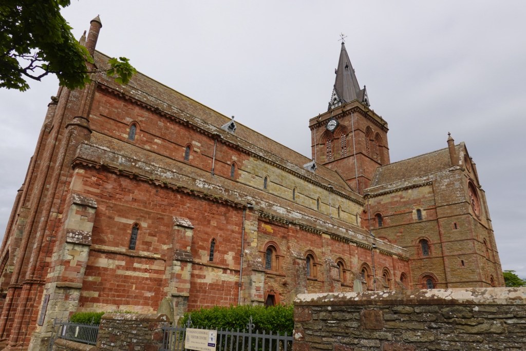
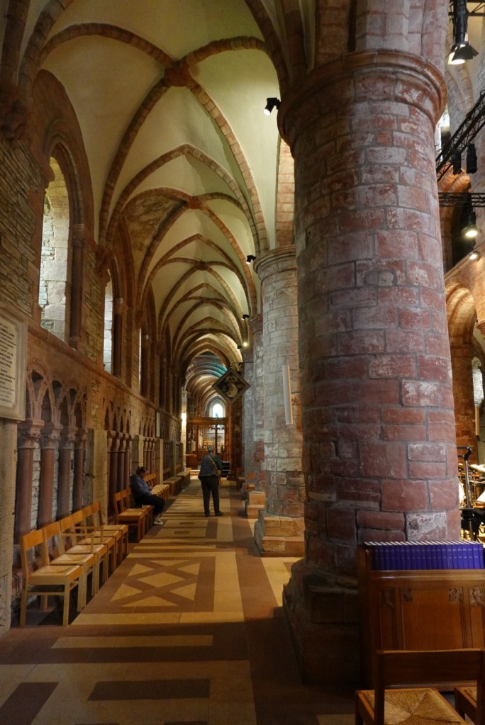
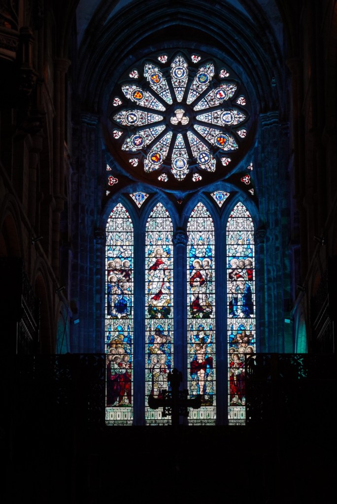
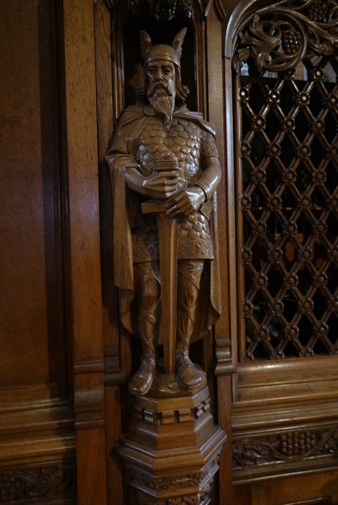
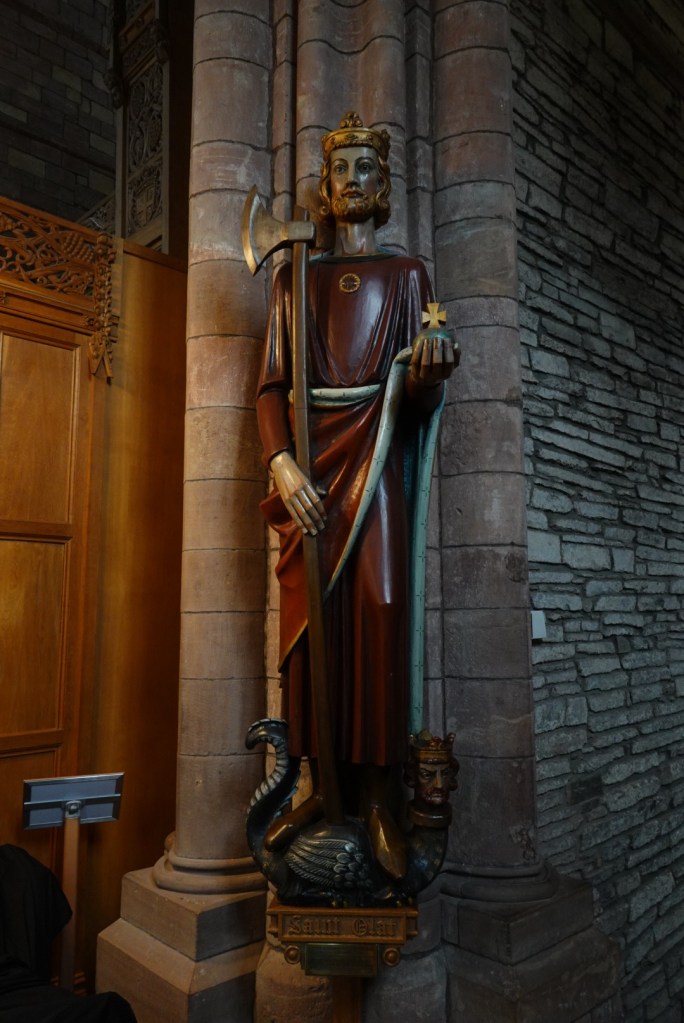
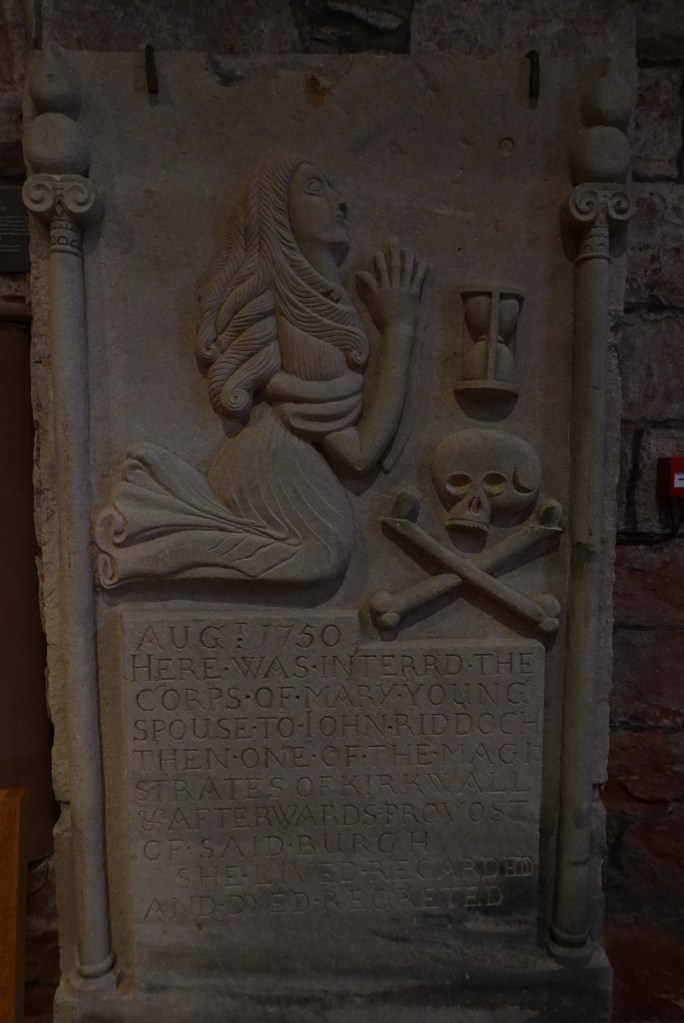
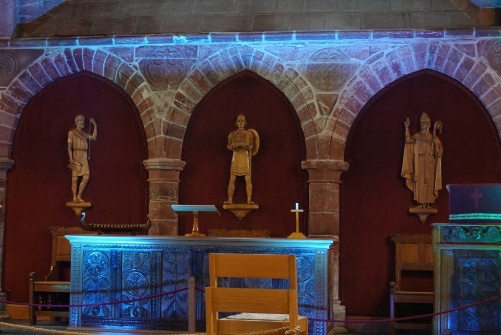
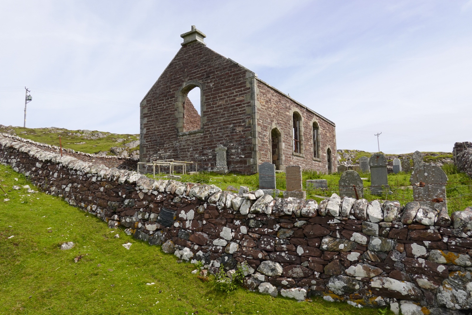
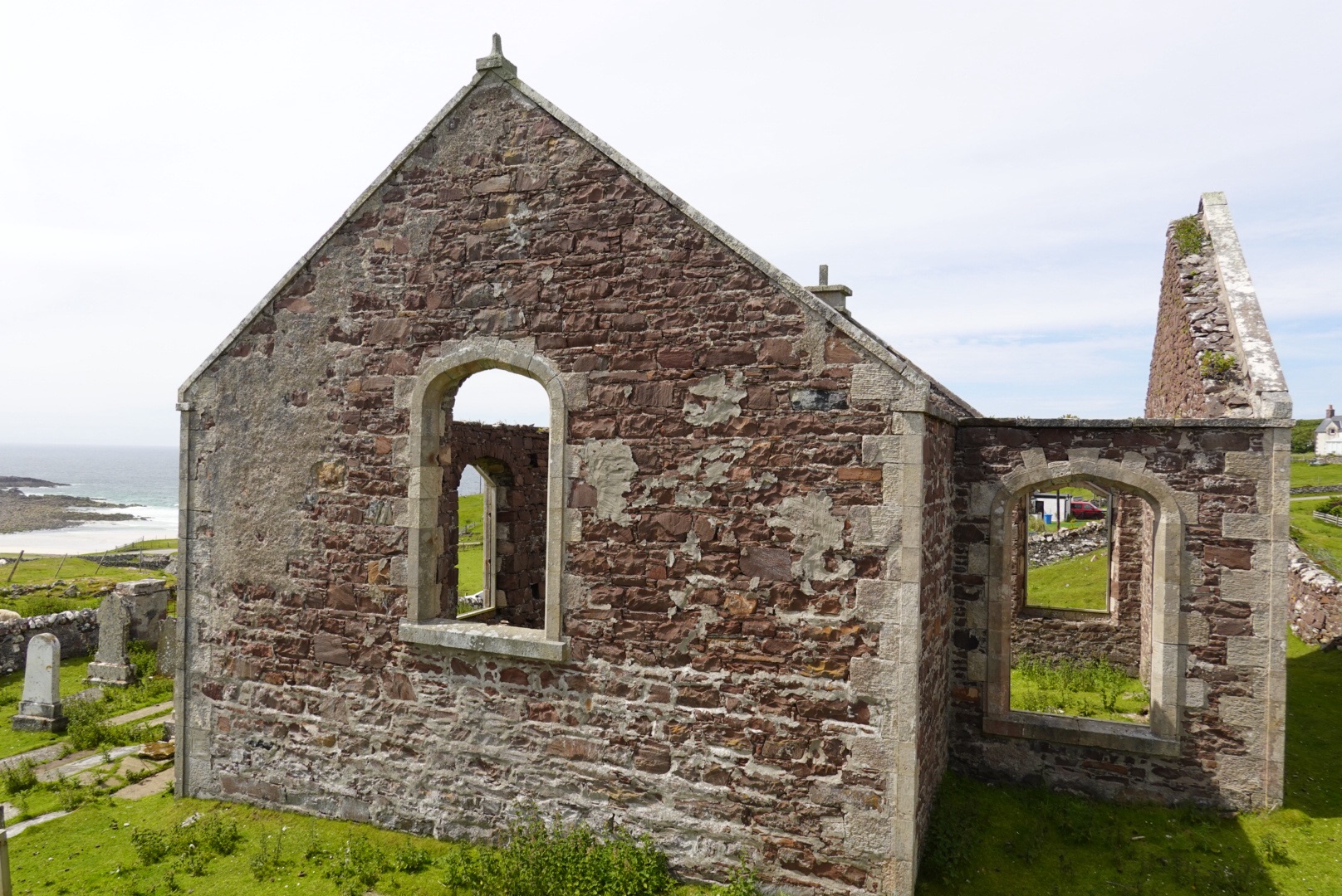
After driving back to Kirkwall, we walked to St. Magnus Cathedral, the highlight of the town. A group of musicians were practicing in the cathedral for their performance later that evening, part of the annual St. Magnus International Festival. The music was eerie, spiritual, quite fitting for a cathedral!
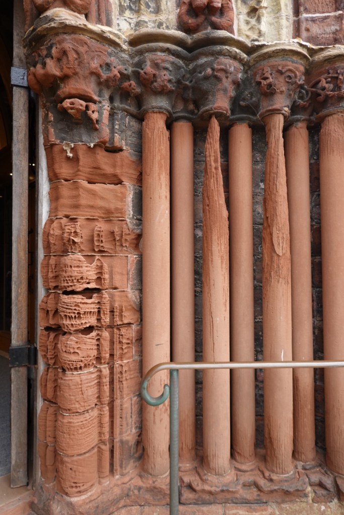
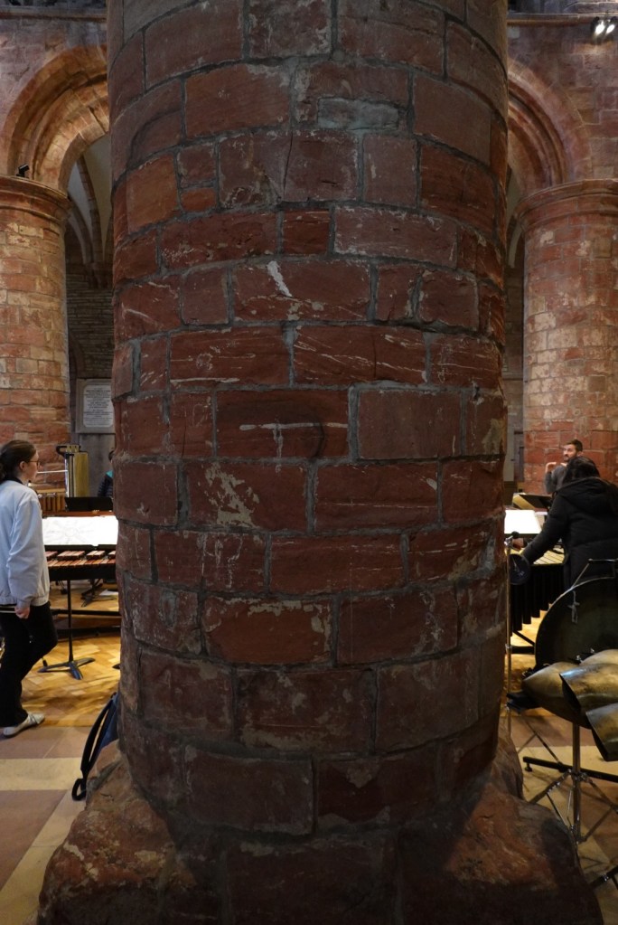
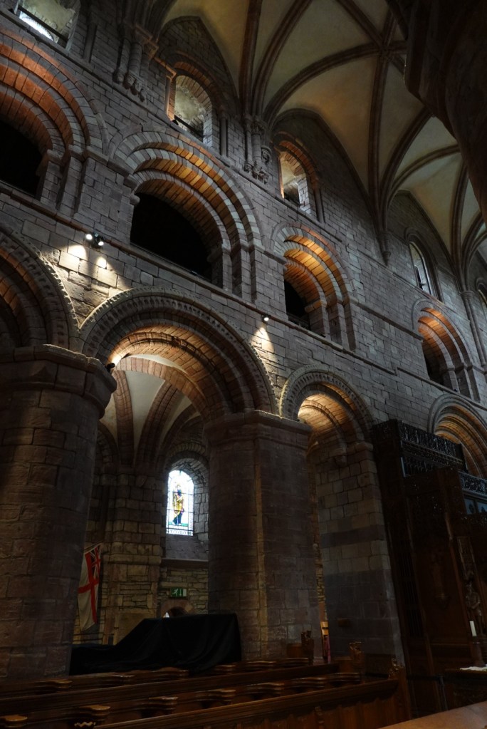
From the outside, there is evidence of deterioration of the sandstone blocks over the centuries.The inside of the cathedral reveals a colossal structure with huge sandstone columns supporting the high ceiling.There were many wood figures inside, as well as many memorials lining the walls, most of which have deteriorated to the point of illegibility.
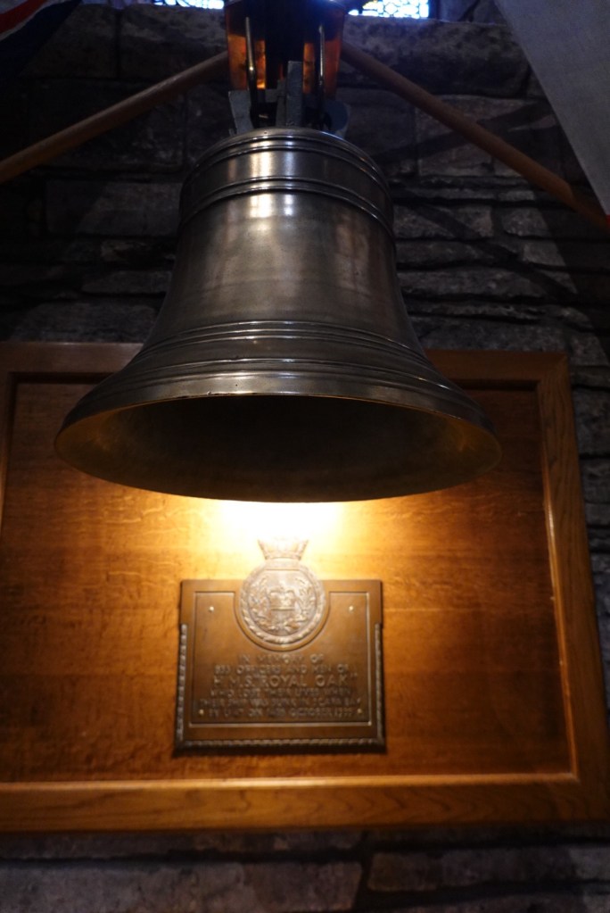
The Orkney Islands partially protect a natural harbor called Scapa Flow, with additional protection from strategically sunken ships. However, the protection was insufficient to prevent disaster. Two weeks after England declared war on Germany in 1939, a U-boat torpedoed the English warship, HMS Royal Oak, killing over 800 sailors. This led to the construction of additional barriers between the islands, to be discussed in a later post. A memorial for this event was at St. Magnus Cathedral.
Bell and plaque commemorating the crew of the HMS Royal Oak is in St. Magnus Cathedral
We had another scotch whisky tasting scheduled on Saturday afternoon. We walked into the Highland Park visitor center just down the street from the cathedral and the host called to us by name! She was expecting us as we were the only folks signed up for that tasting. We had a nice video tour of the distillery and tasted two different whiskies.
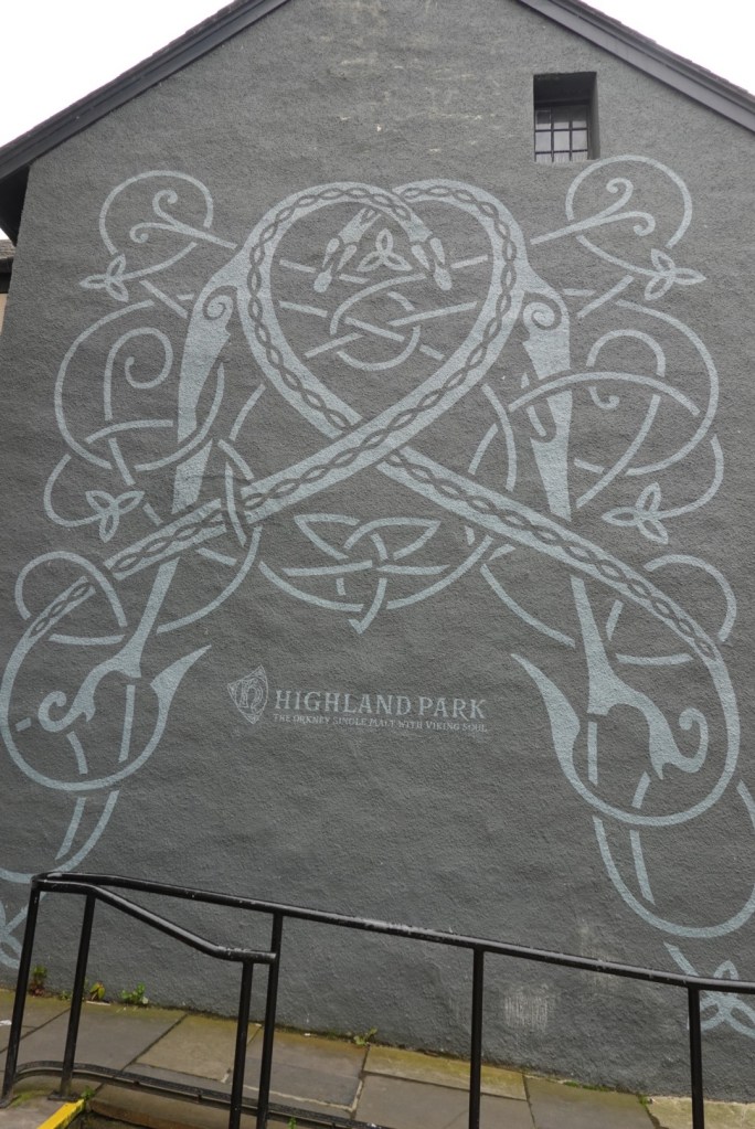
The side of the Highland Park visitor center in Kirkwall
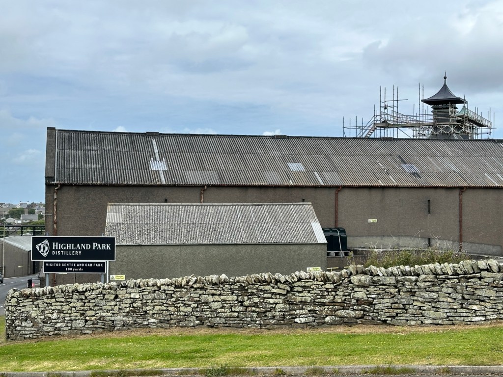
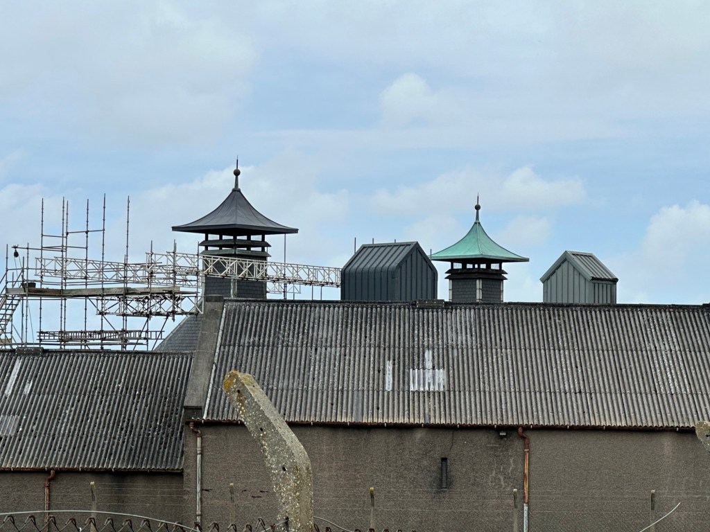
Unfortunately the Highland Park Distillery is closed for a major renovation, but we snapped a couple of pictures while driving past.
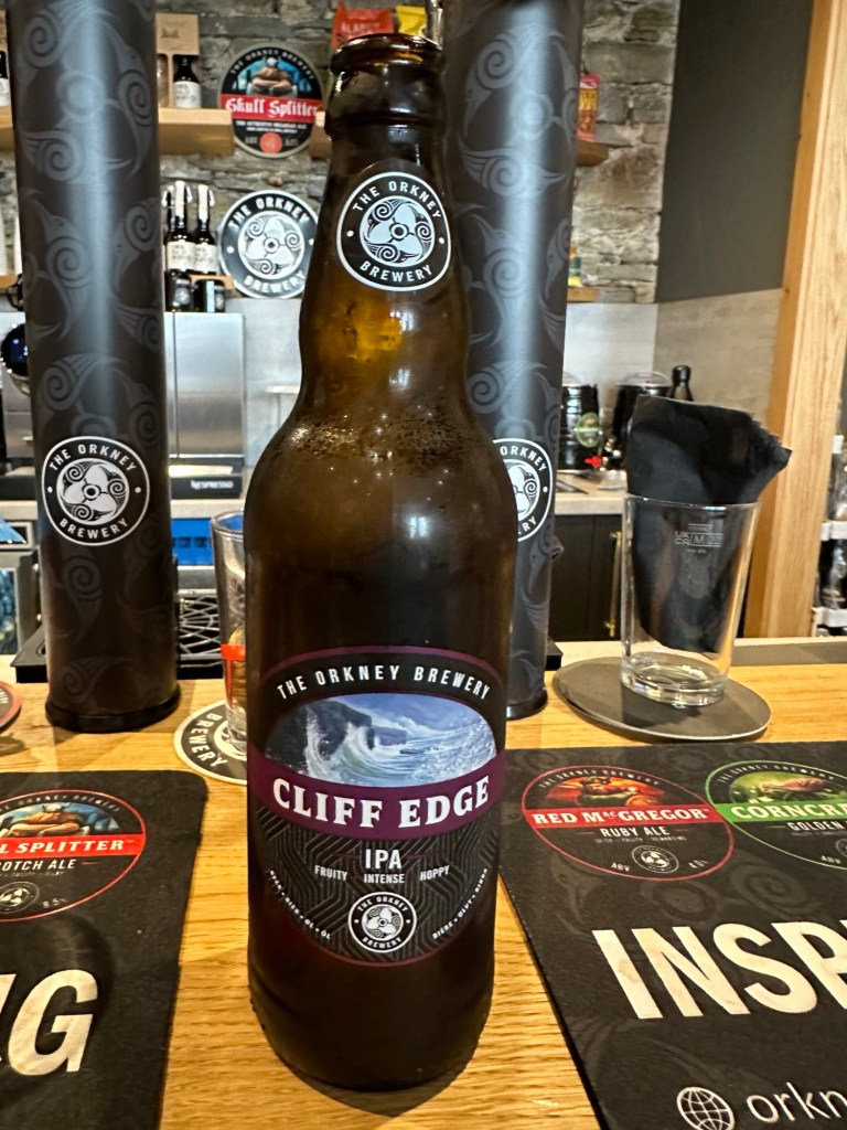
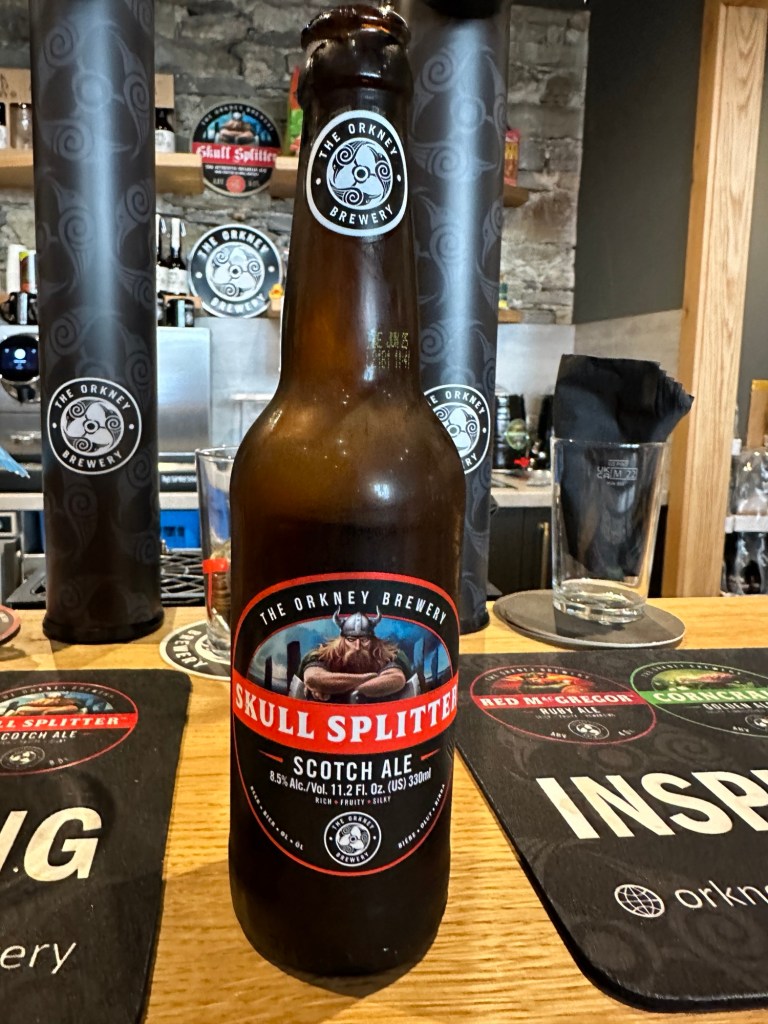
Continuing our tasting of Orcadian beverages, we stopped in for a beer at the Orkney Brewery visitor center just a few storefronts from the Highland Park visitor center. The bartender was friendly and we each had a bottle of their beer.
Skull Splitter is one of the best Scotch Ales that Brian has tasted!
As you saw in yesterday’s pictures, the weather was glorious, a perfect tribute to the Summer Solstice. The daylight was 19 hours, which we needed to fit in all those Geology stops. We enjoyed our night in Tongue, then this morning we drove northeast to pick up a ferry to the Orkney Islands.
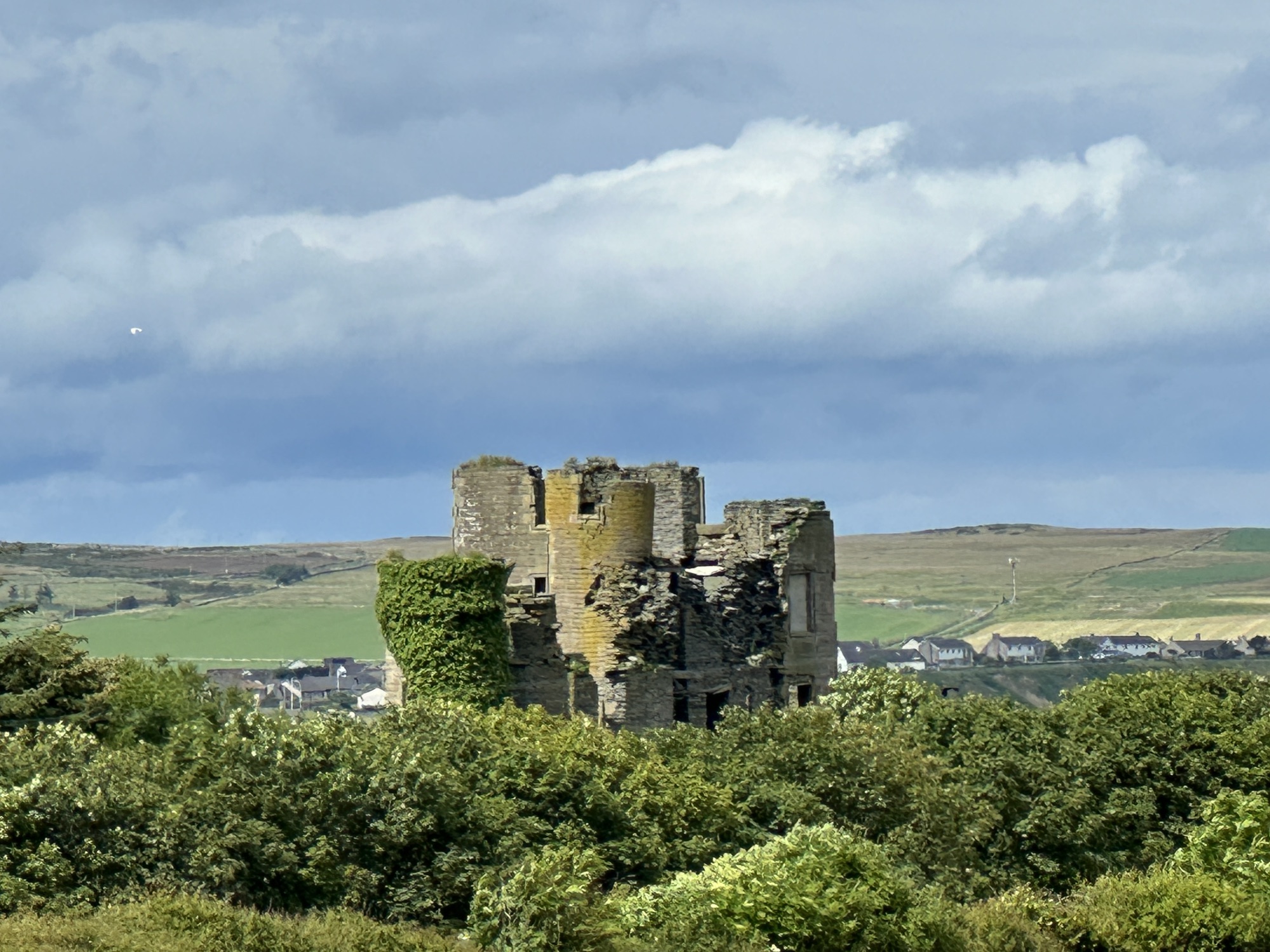
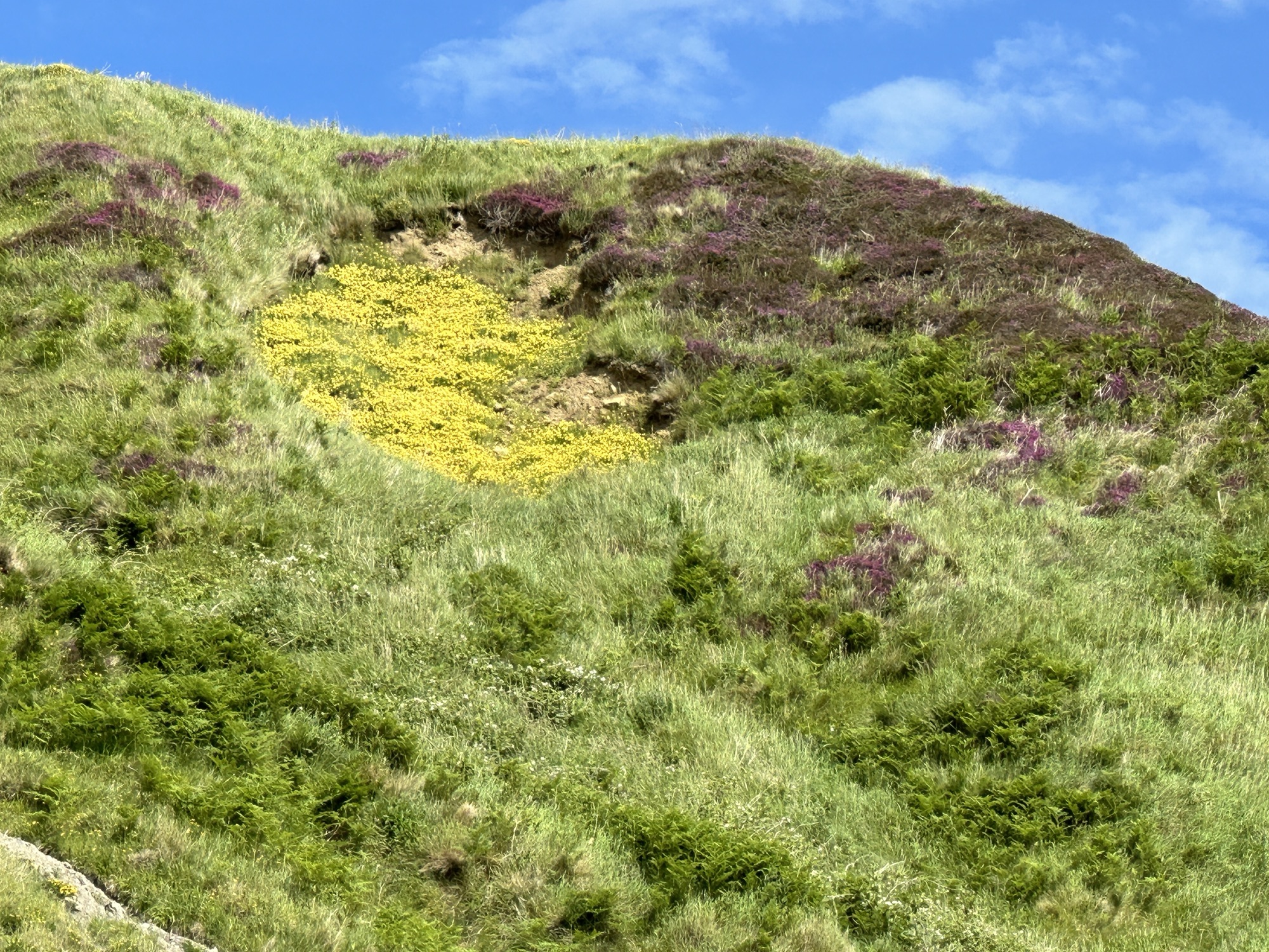
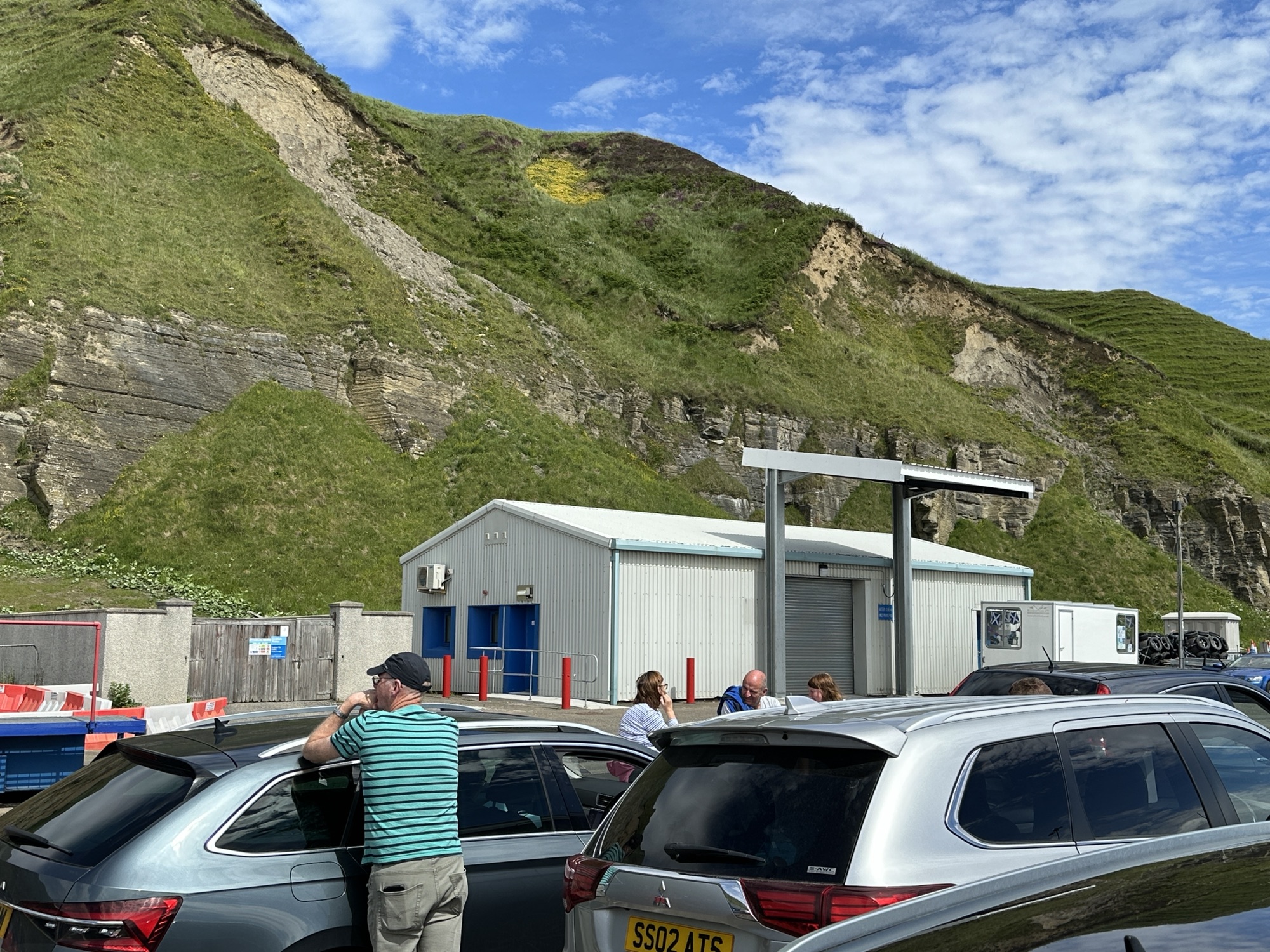
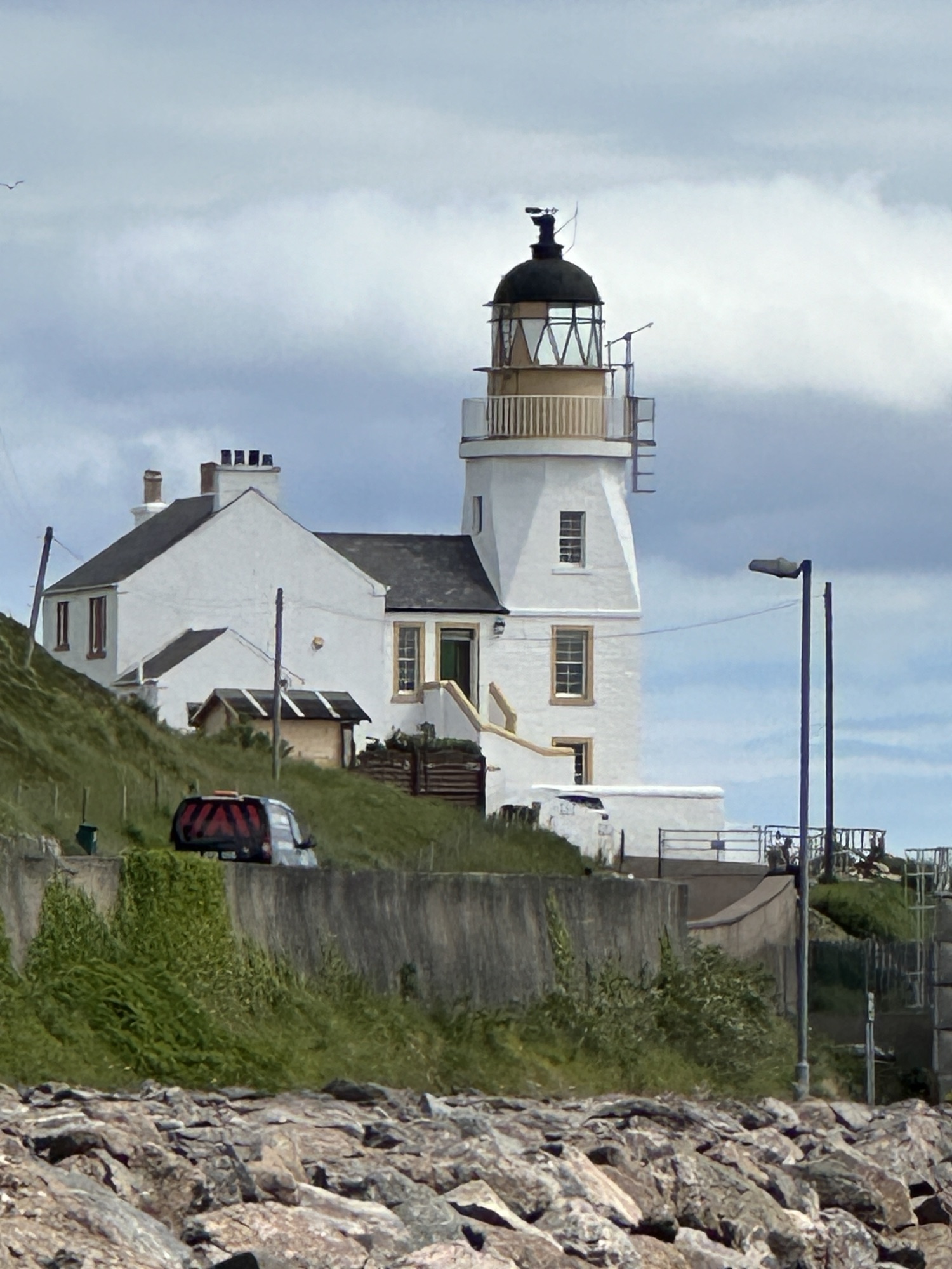
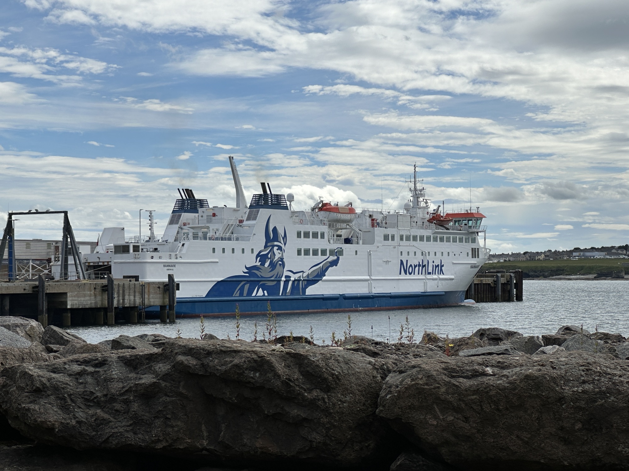
Kyle of Tongue after leaving TongueCastle ruin just east of ThursdayInteresting hillside, yellow flowers and heather at ScrabsterWaiting for the ferry under sandstone cliffsLighthouse near the ferryViking on NorthLink ferry
The geology of the main island, Orkney, where we will be staying for 3 nights is mundane, all flat-lying Devonian sandstone deposited in a large, freshwater lake. On this island, we are looking for cultural sites and activities.
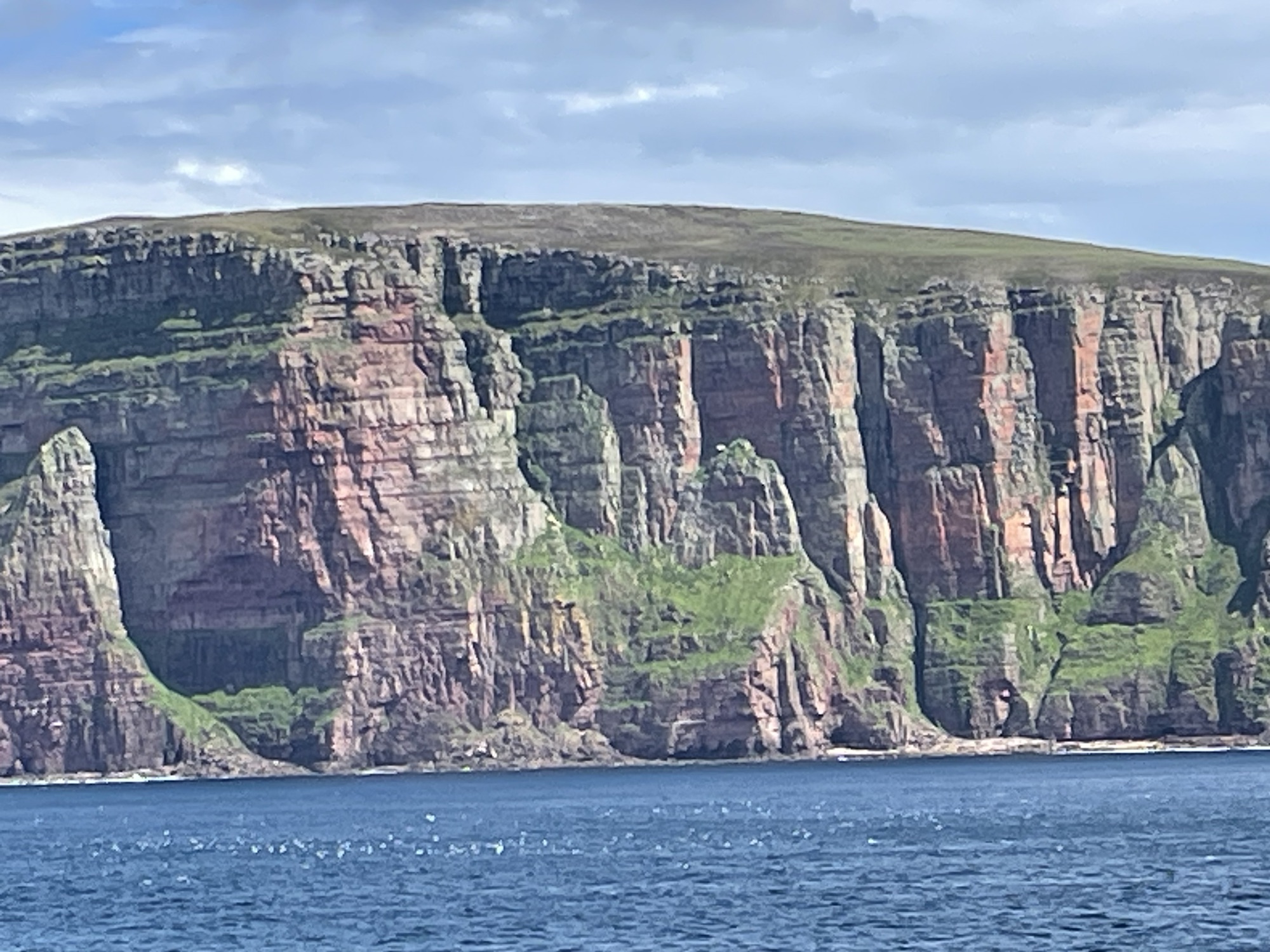
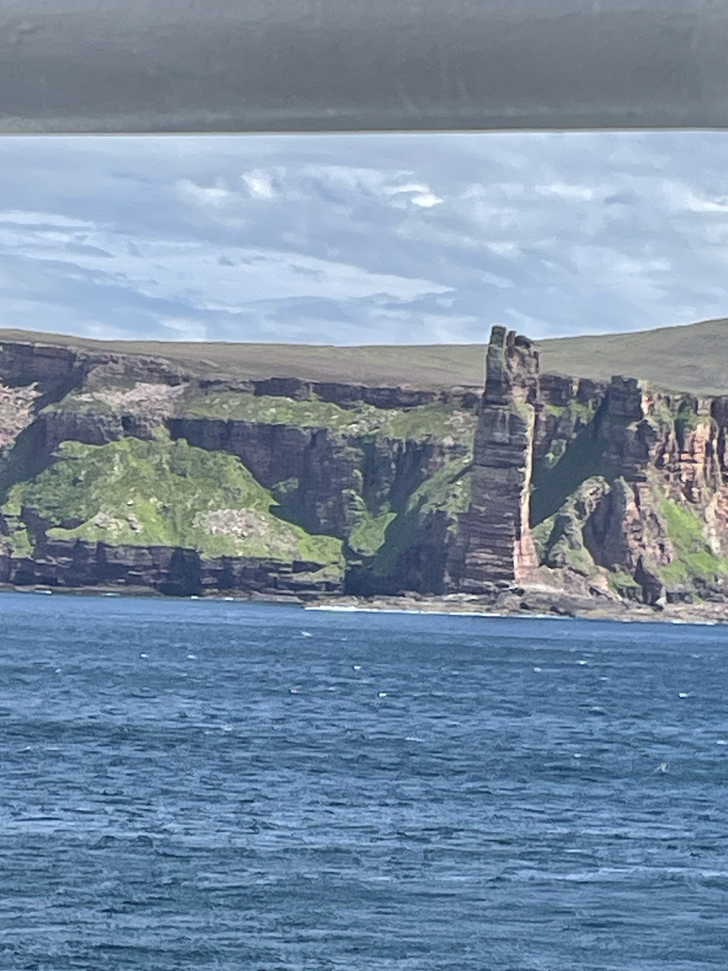
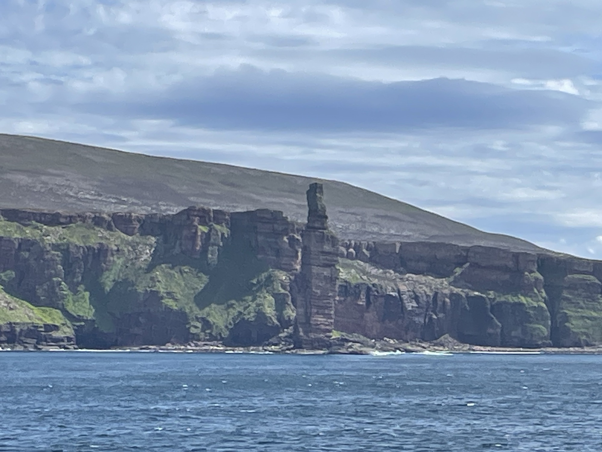
Flat lying Devonian sedimentsThe jointing in the sandstones make great places for puffins to nestView of The Old Man Hoy, from the ferryAnother view of the Old Man of Hoy, from the ferryThe hotel where we will sleep the next 3 nights, in Kirkwall on Orkney
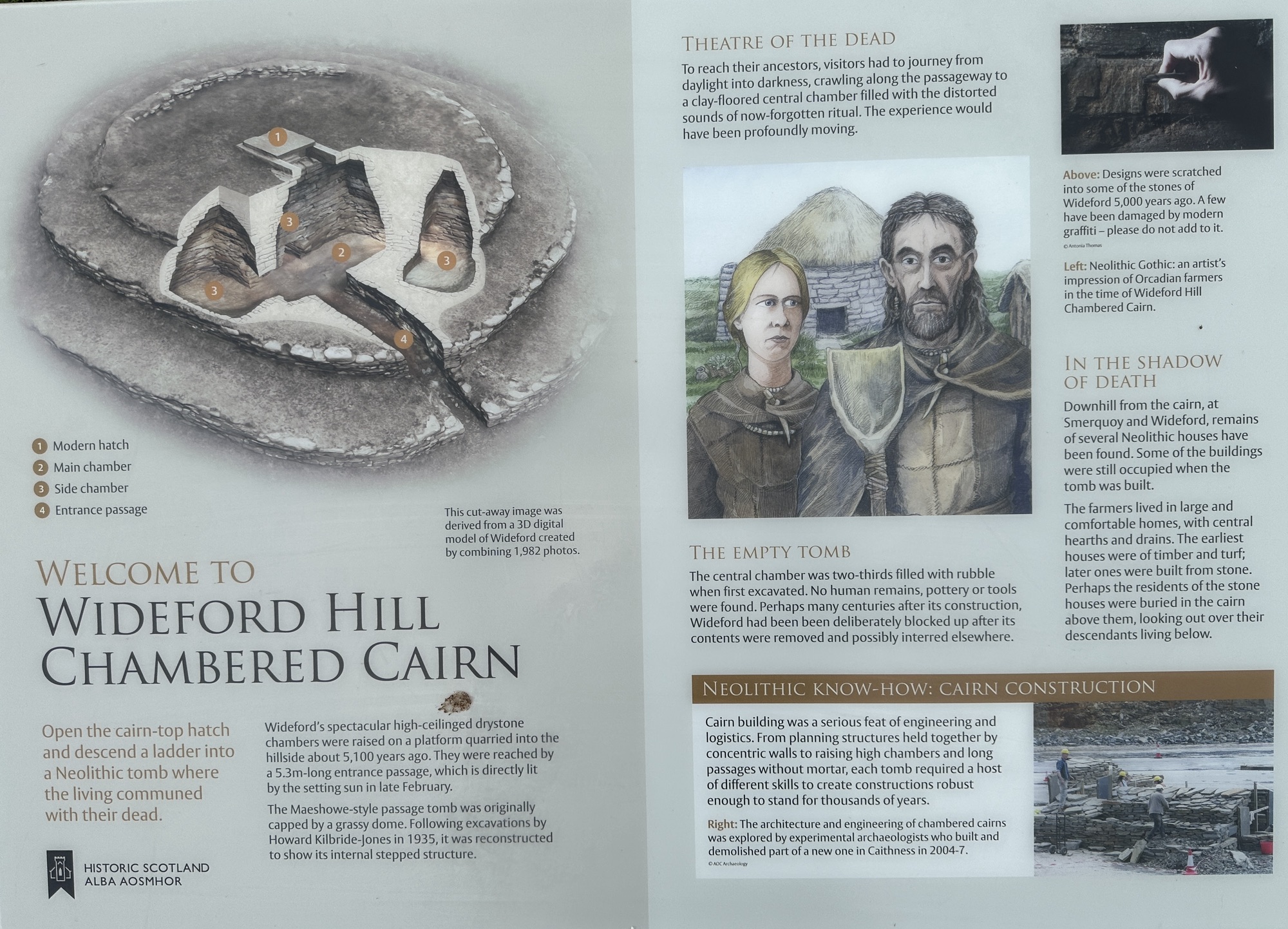
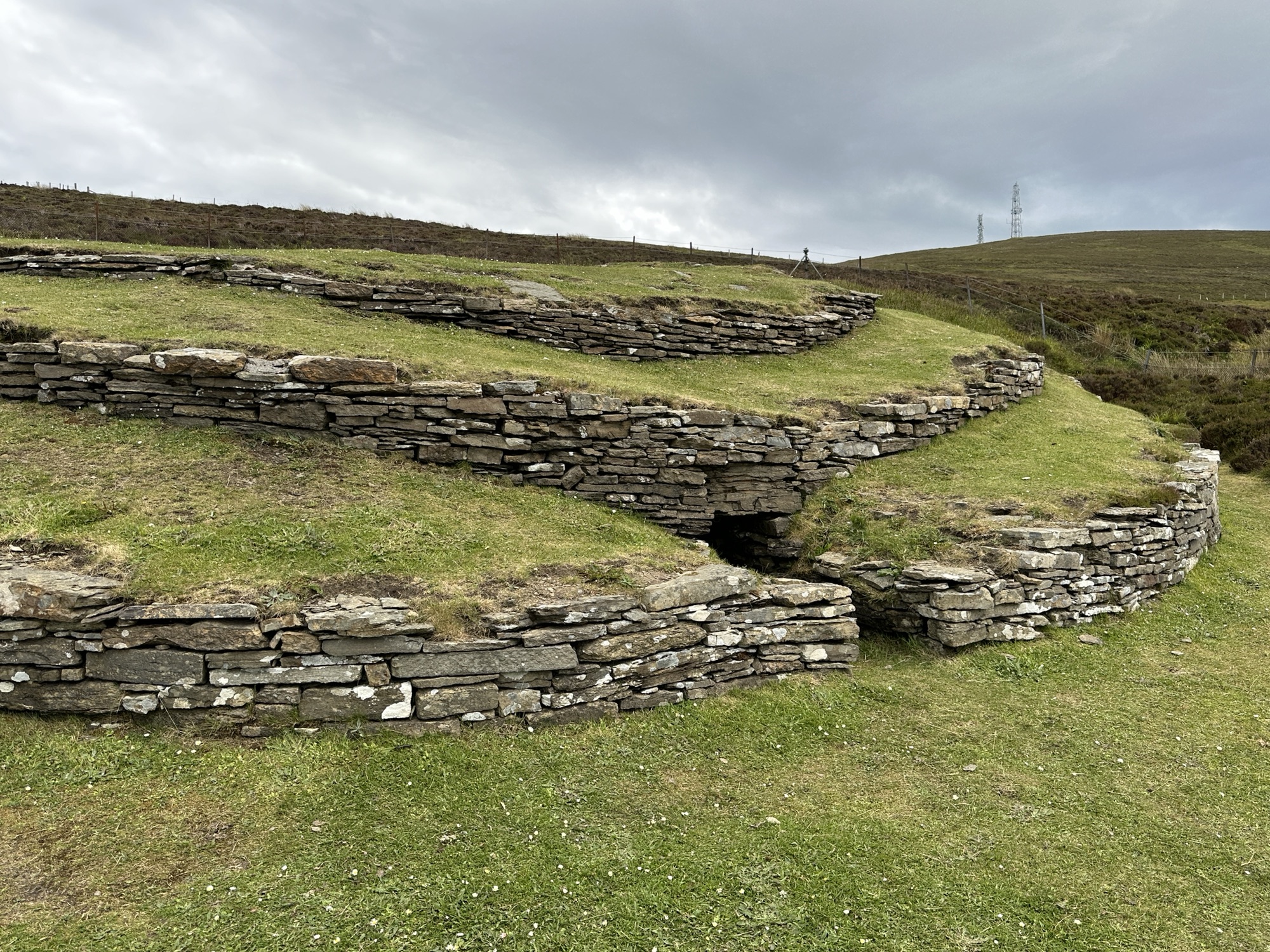
We wandered around the town where we will be staying, Kirkwall, then drove to a 5,100 year old Neolithic Cairn, Wideford Hill Chambered Cairn, “where the living communed with their dead”. To reach their ancestors, the Neolithic people had to journey from daylight into darkness. The signs invited us to do the same, but we were not tempted.
Information about the cairnStones in a circleExit from cairnEntrance, which we didn’t want to try to climb down, especially since we would have to crawl to get around down there.
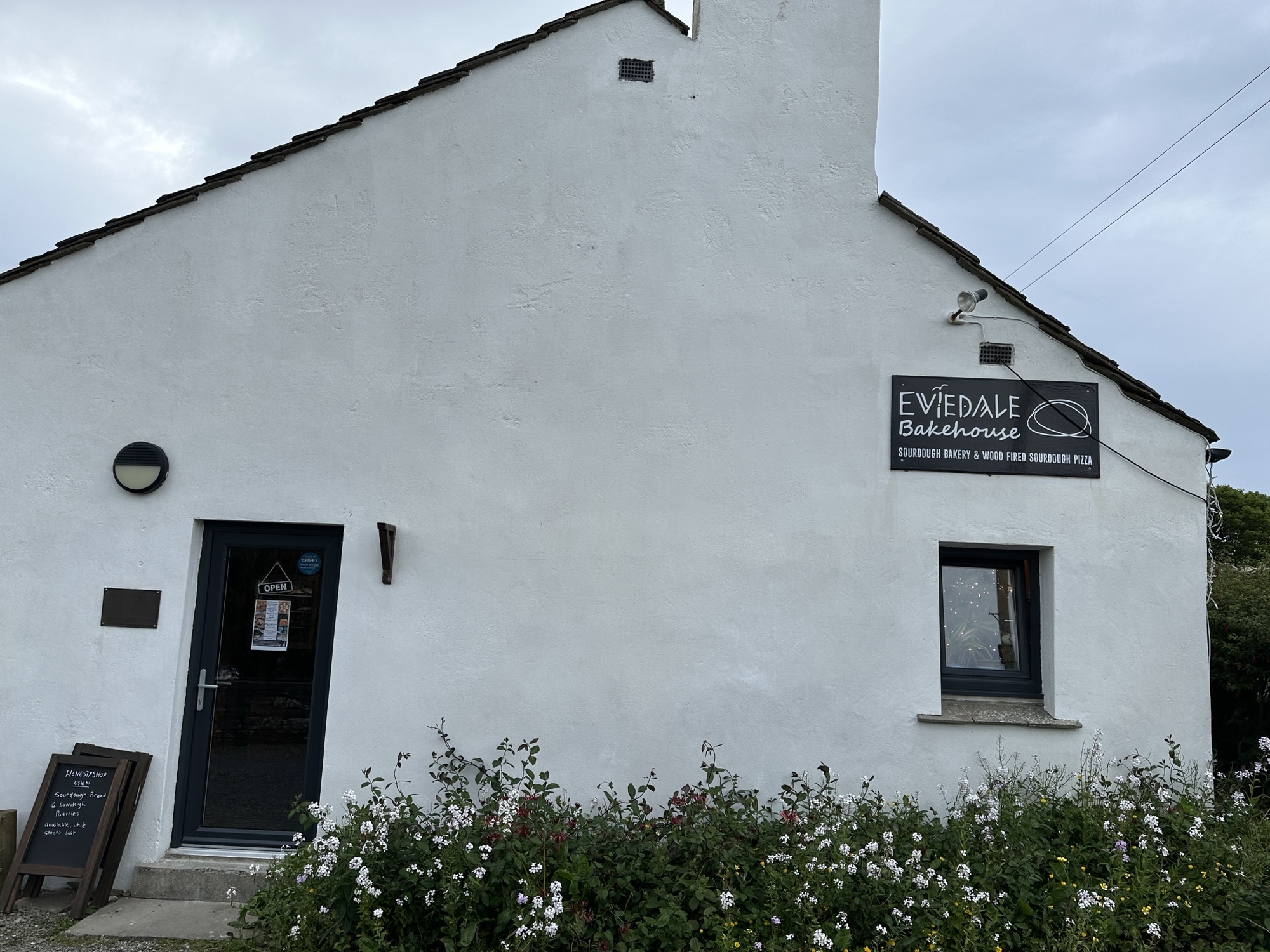
We continued down the road to a sourdough bakery and pizza parlor that we read about long before we arrived. The small, cozy place was great for dinner.
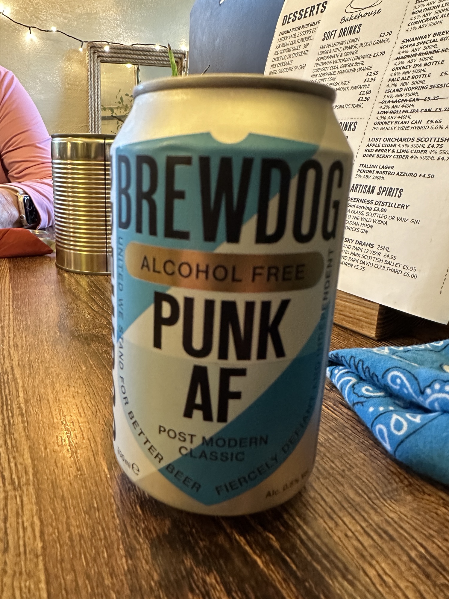
Eviedale Bakehouse, where we ate dinnerThe alcohol- free beer that Brian had, because we had to drive to get back to the hotel.
This morning (Friday) we got up early to catch a ferry back to the mainland, to Ullapool in Northern Scotland. From there we drove to Tongue to sleep where we slept on our 2013 Geology Field Trip.
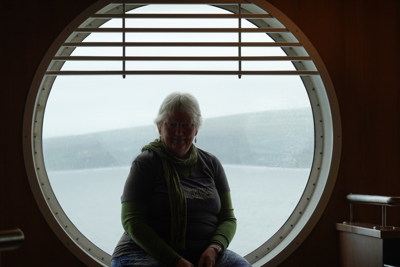
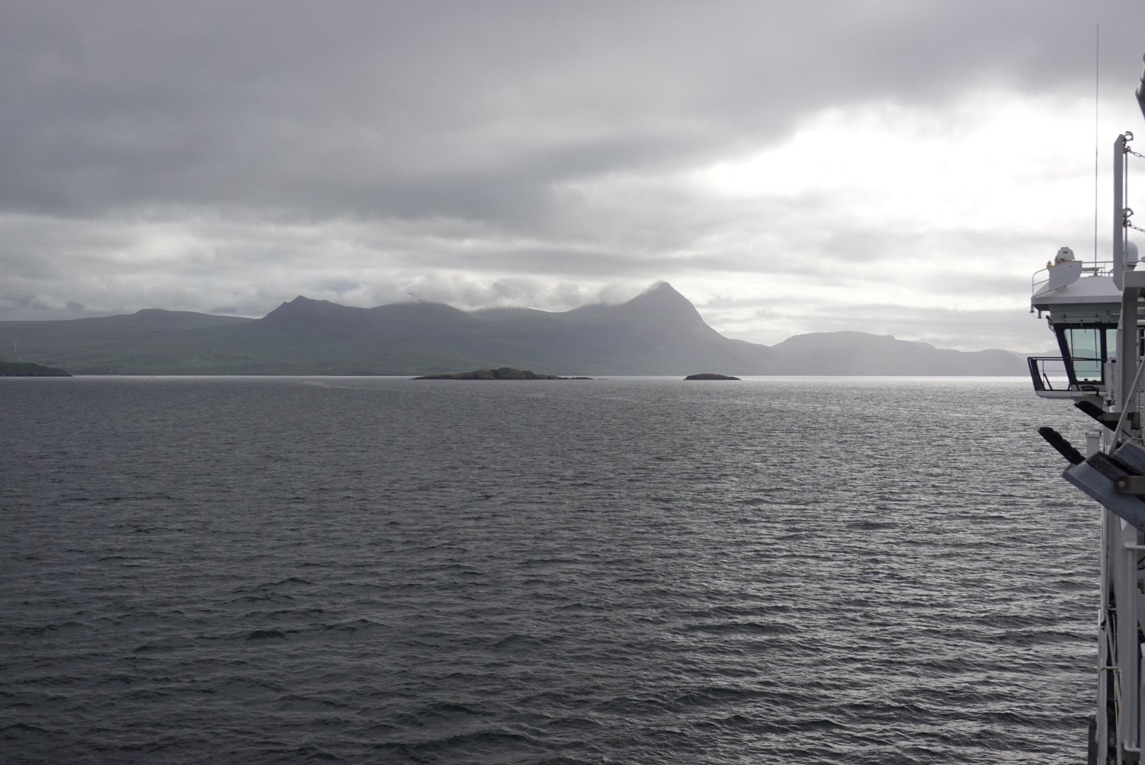
Looking back toward StornowayClare in a porthole window on the ferryMountains near UllapoolUllapool is sheltered from the ocean, on a long skinny loch.
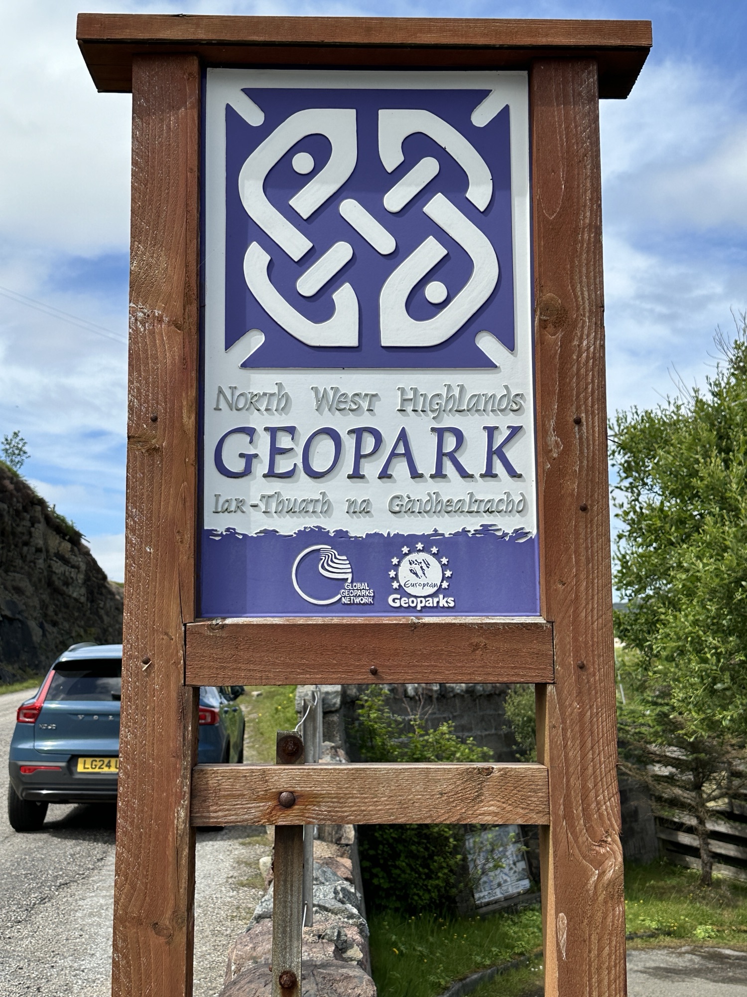
Much of today’s driving was along the North West Highlands Geopark Rock Route, which also has the Pebble Routes (smaller sites, usually including short walks). Some of the Rock Route, we travelled 11 years ago on a Geology Field Trip, but other parts were new.
The geology of the Northwestern Highlands is complex, with rocks from many different eras in time. One of the stops along the Rock Route expressed it concisely:
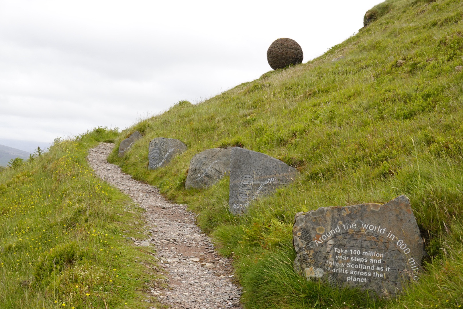
Take steps 100 million years back in time to see where Scotland lies:
100 Mya. Scotland is under a shallow sea.
200 Mya. Dinosaurs ruled Scotland.
300 Mya. Scotland is near the equator.
400 Mya. Scotland collided with England.
500 Mya. Scotland is part of North America.
600 Mya. Scotland is near the South Pole.
With all this smashing of continental landmasses, today’s blog will be mostly pictures with captions.
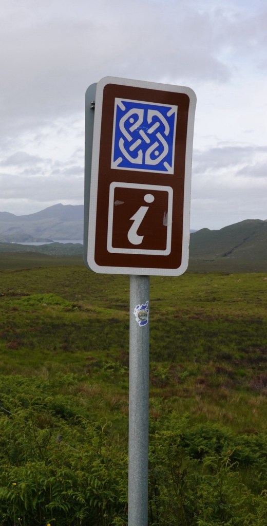
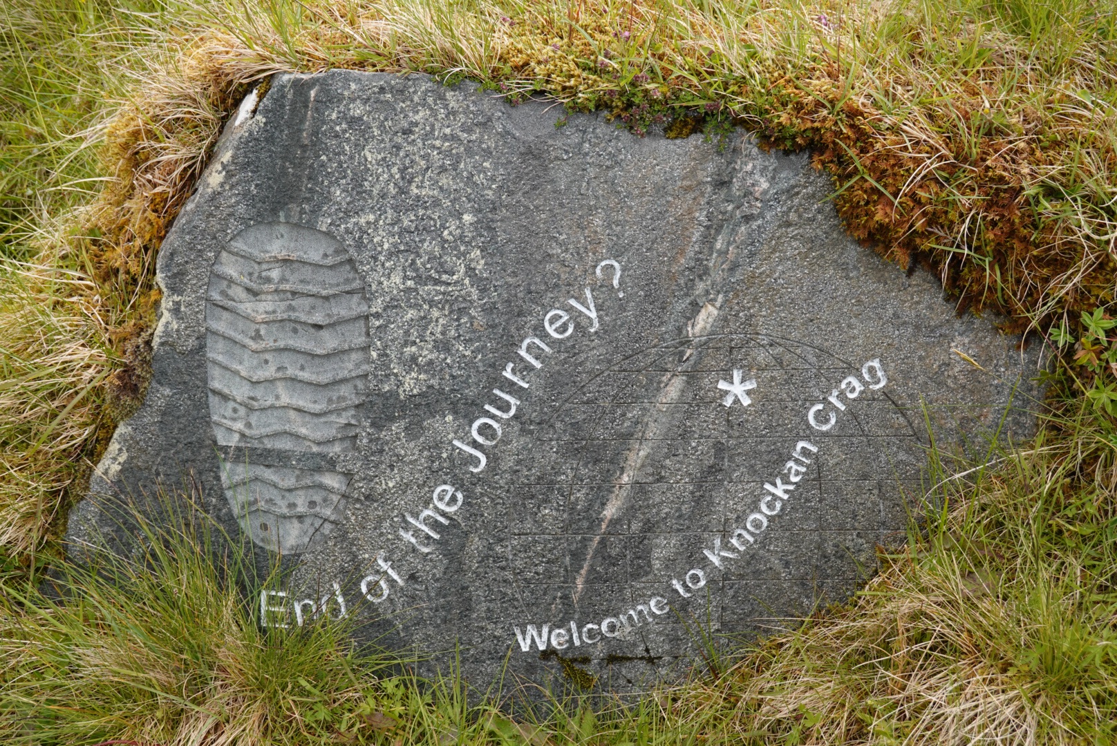
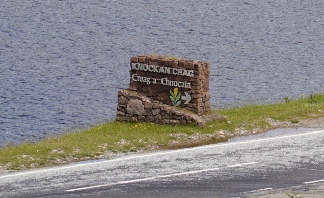
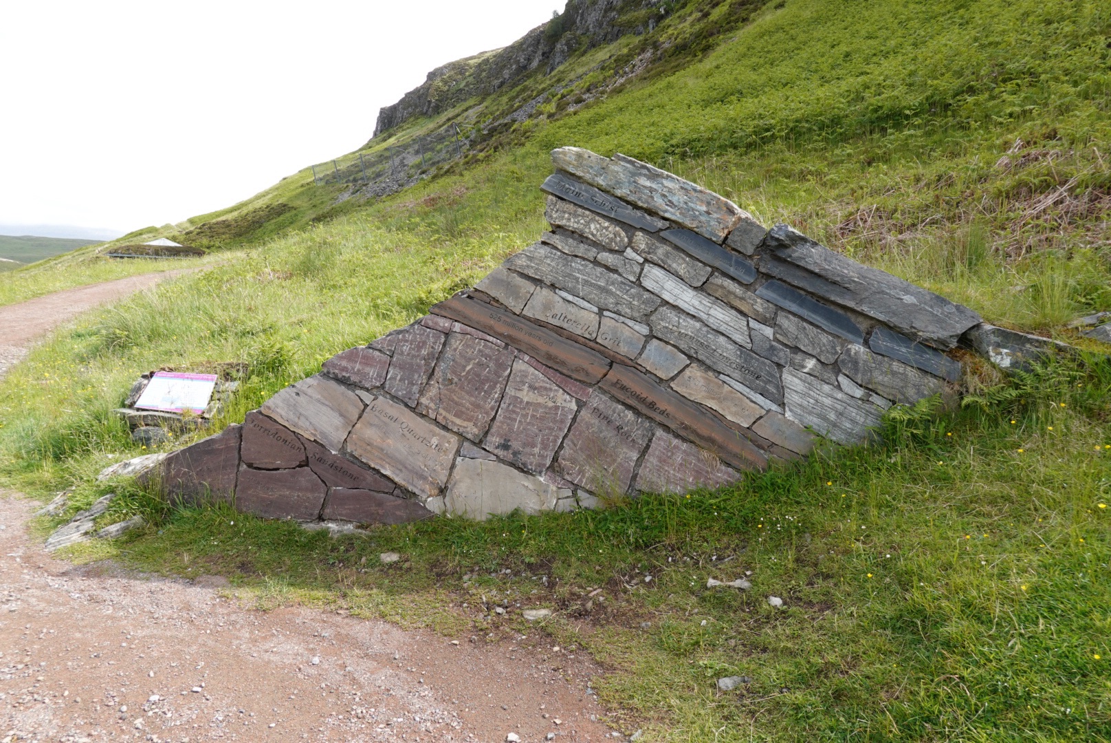
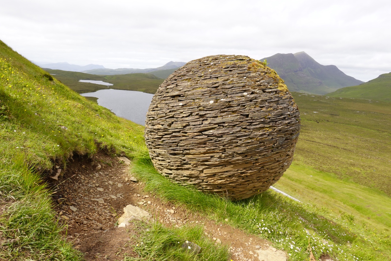
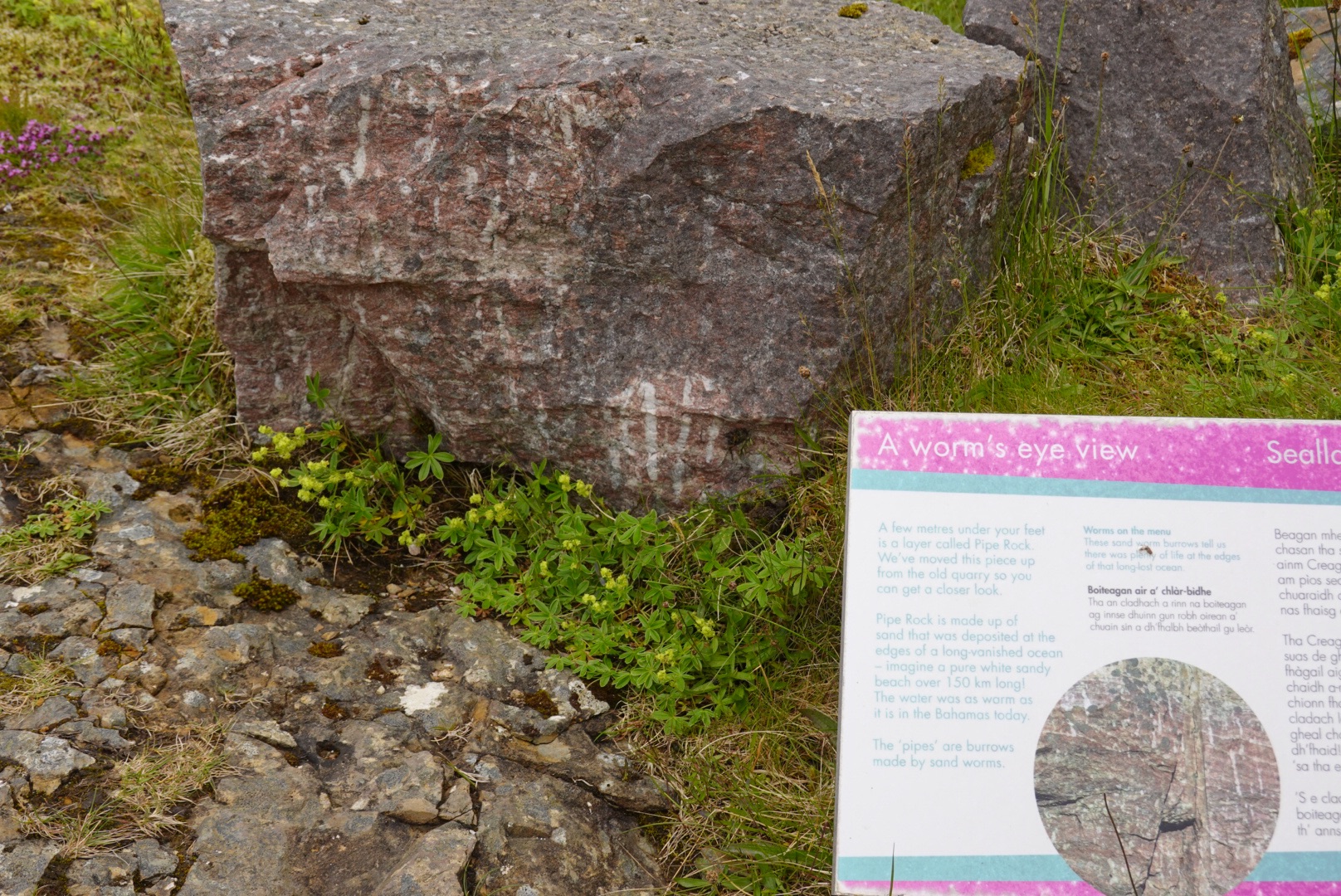
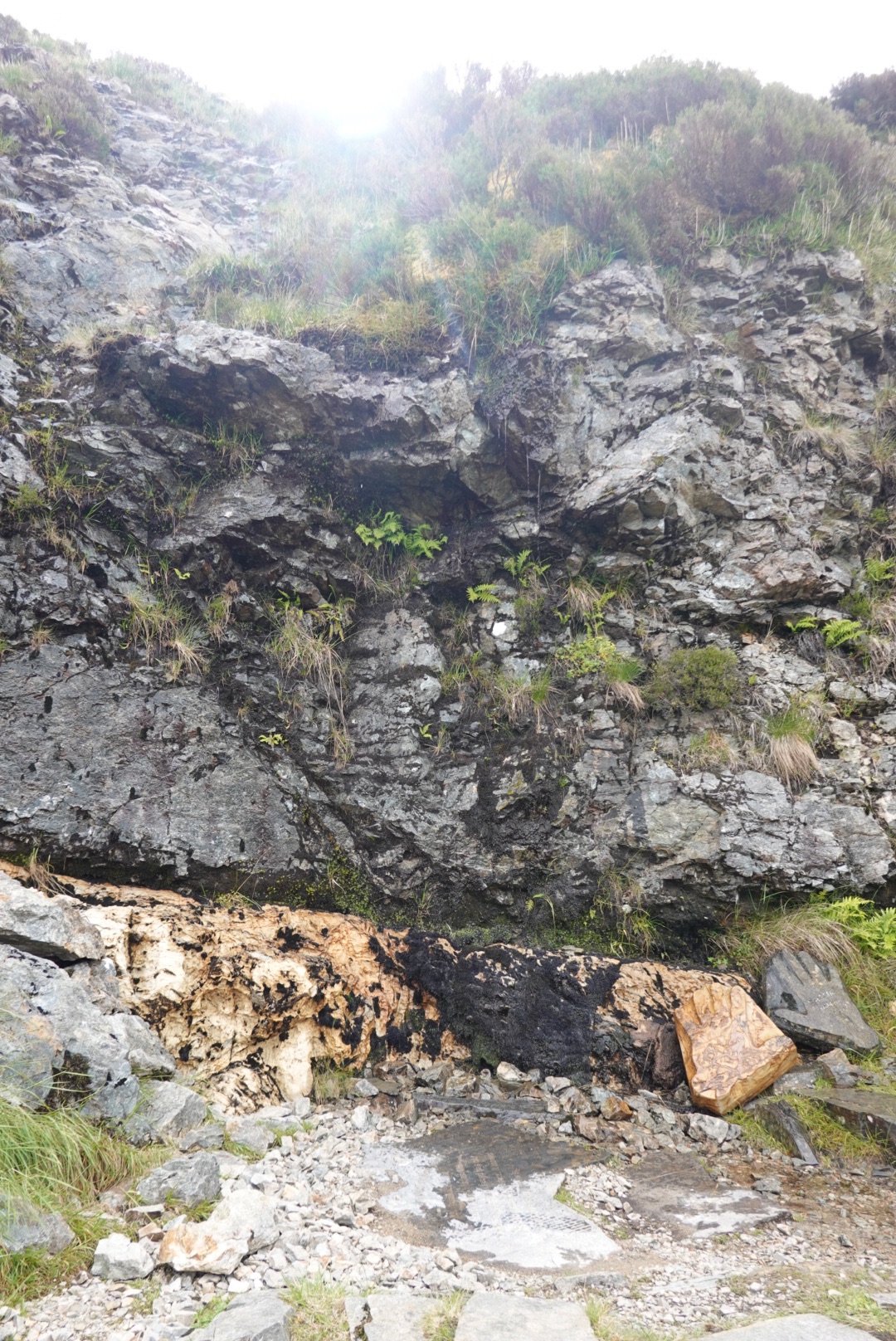
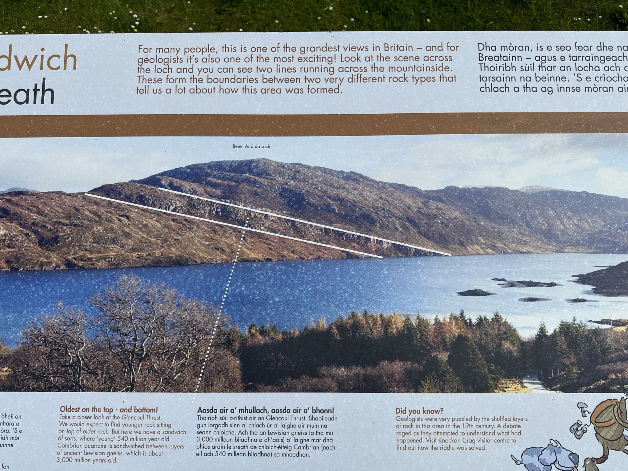
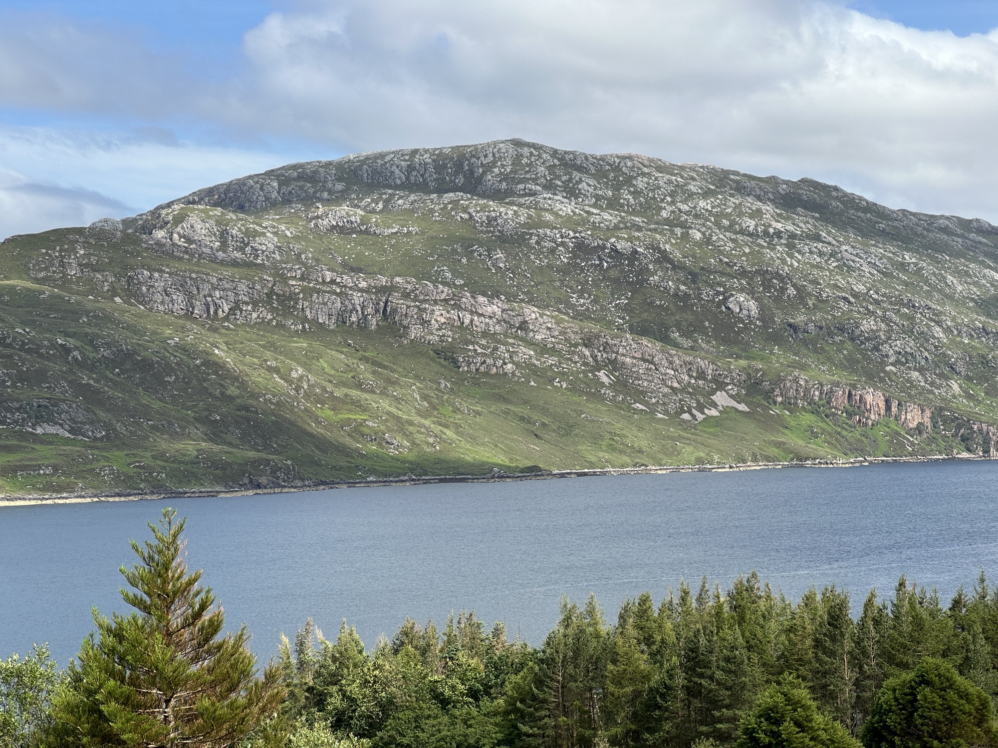
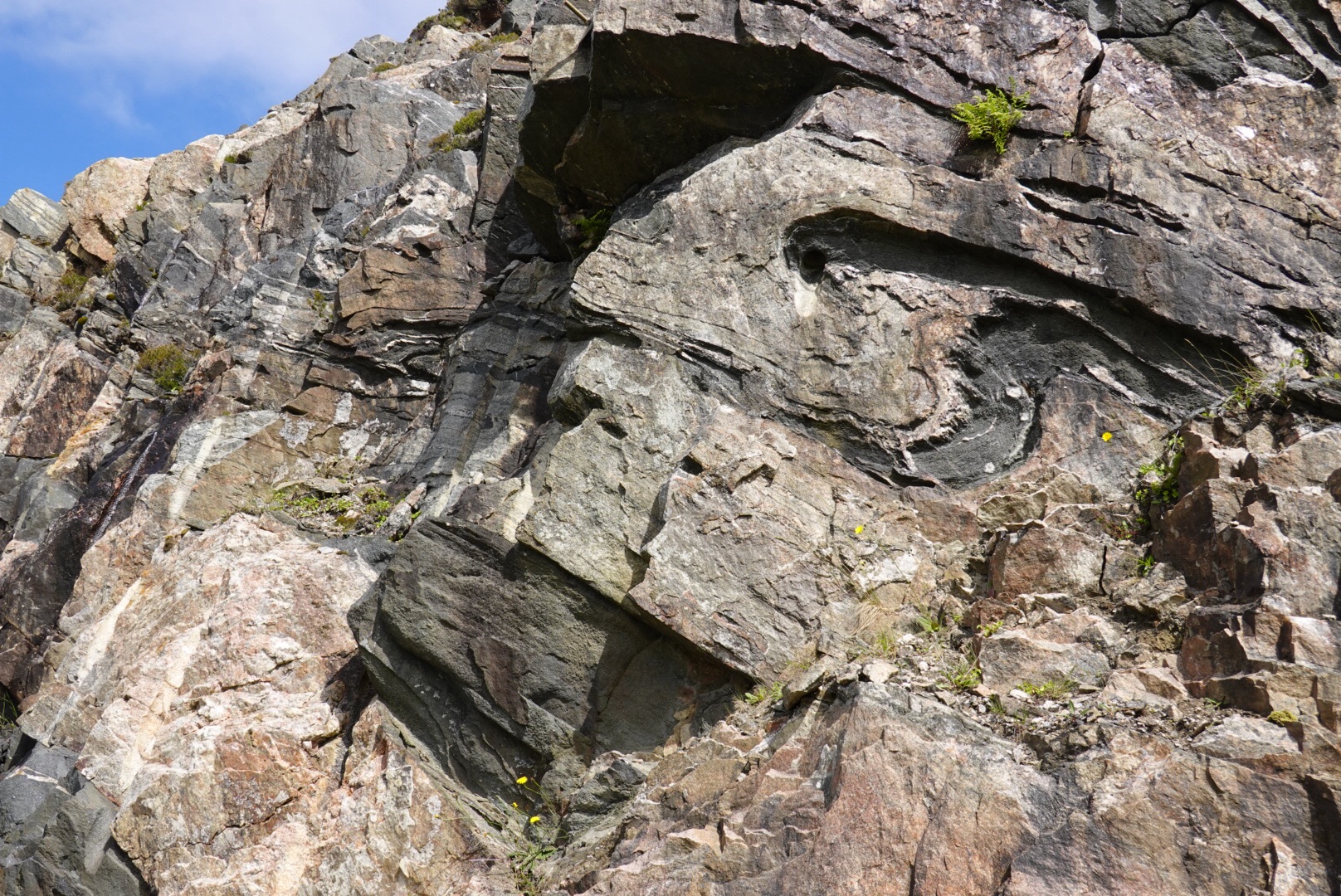
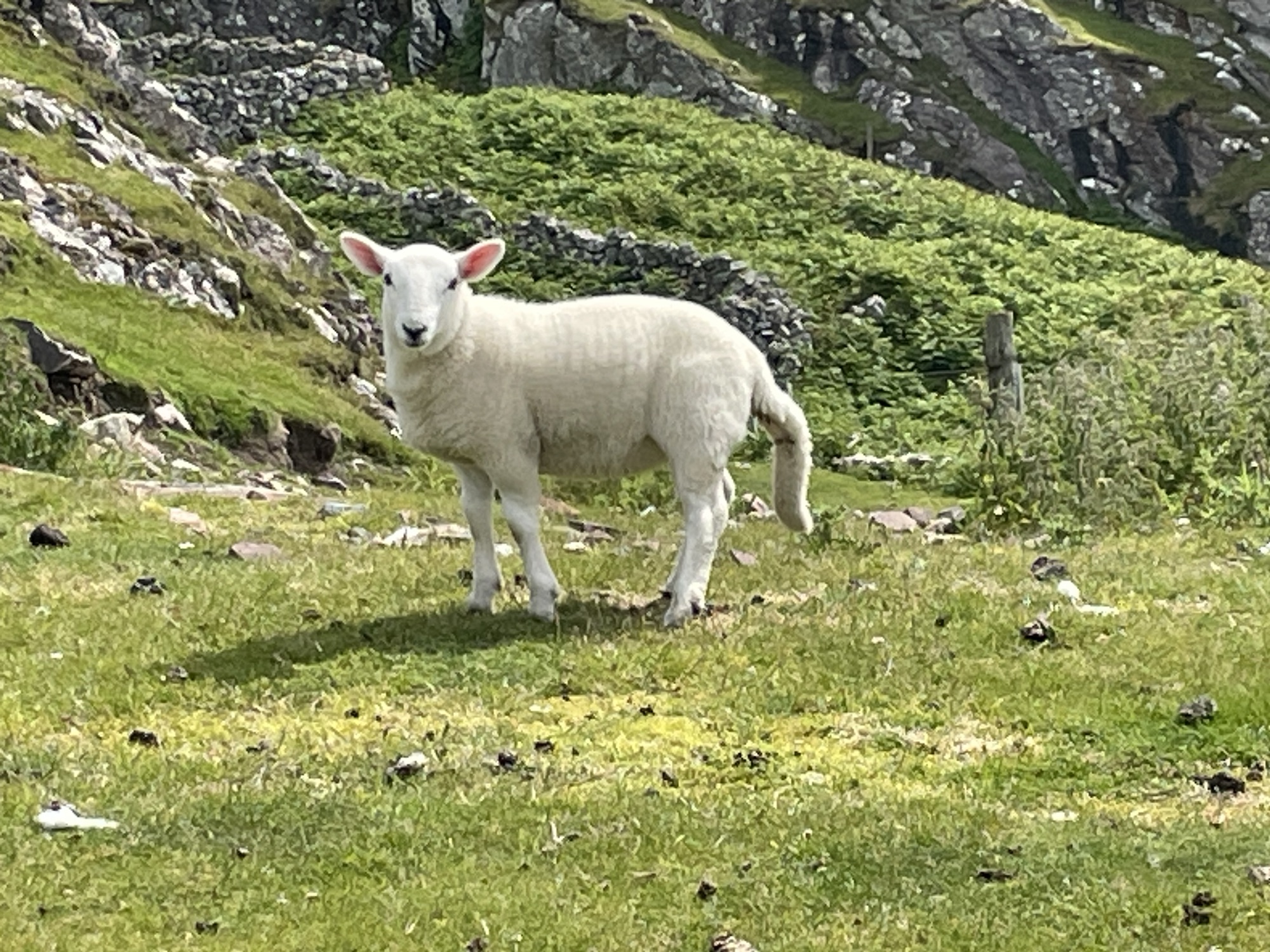
Around 1850, Geologists Peach and Horn figured out that older rocks cannot be deposited on top of younger rocks as sediments. The older rocks were shoved on top of the younger rocks. We stopped at every blue sign (with the symbol on it) that we foundSign showing where to stop for information on Rock RouteFirst stop of the Geopark Rock Route had a trail that led us up a hillsideKnockan Crag National Nature ReserveGeologic Art, showing older rocks on top of younger rocksShort trail to see the thrust fault (shoving older rocks on top)Rock art! Big sphere made of local stone along the way to the thrust fault.Fossil worm tubes, that help geologists see the amount of deformation from mountain buildingThe Moine Thrust Fault, putting older (black) rock on top of younger (tan) rockSheep, mostly moms and lambs, have populated all of our adventuresExplanation on geopark sign for the gneiss sandwich of the Moine ThrustPhoto of the Glencoul Thrust, a splay of the Moine ThrustDiagram of the unusual succession of rocks
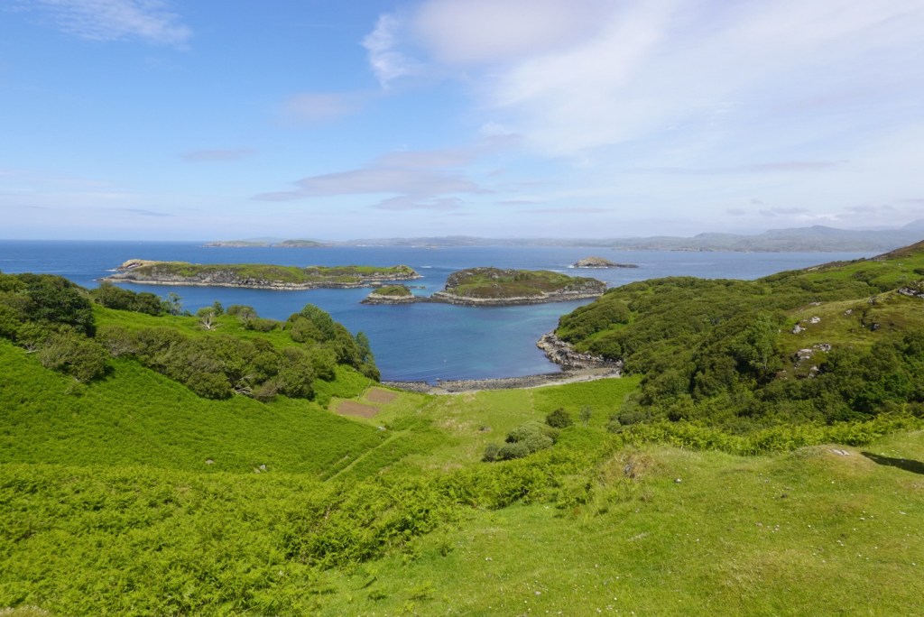
In addition to the main Rock Route in northwest Scotland, the geopark features many Pebble Routes for side trips on secondary roads. We departed the Rock Route at Loch Assynt to drive the Assynt Pebble Route through the towns of Stoer and Drumbeg.
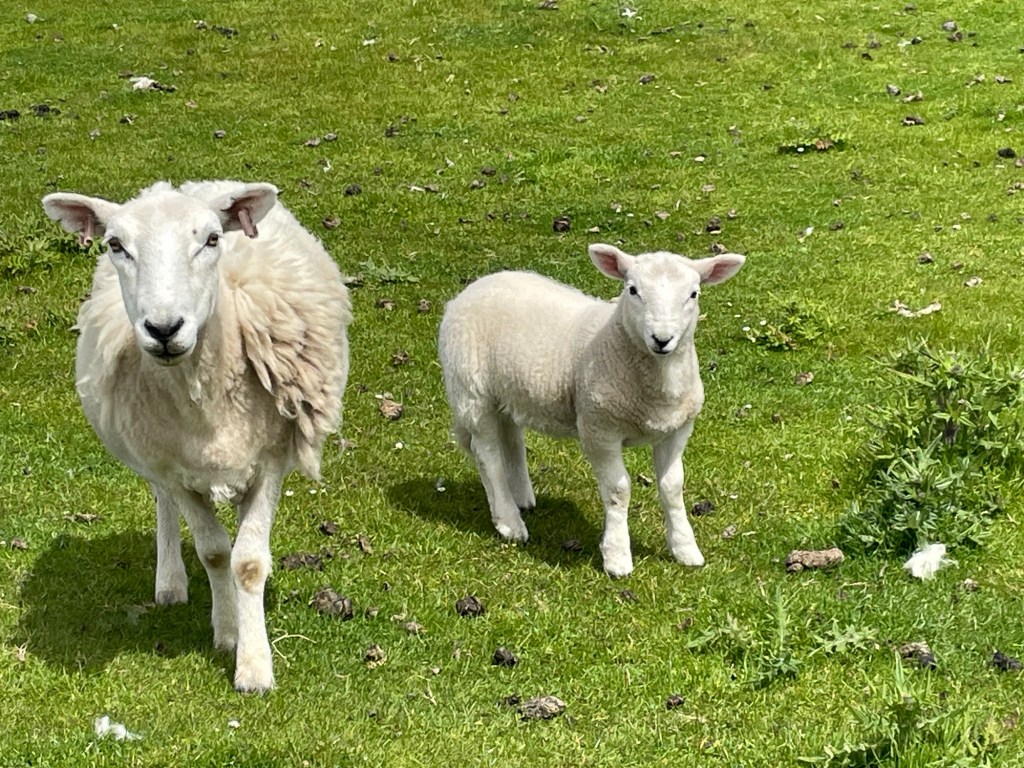
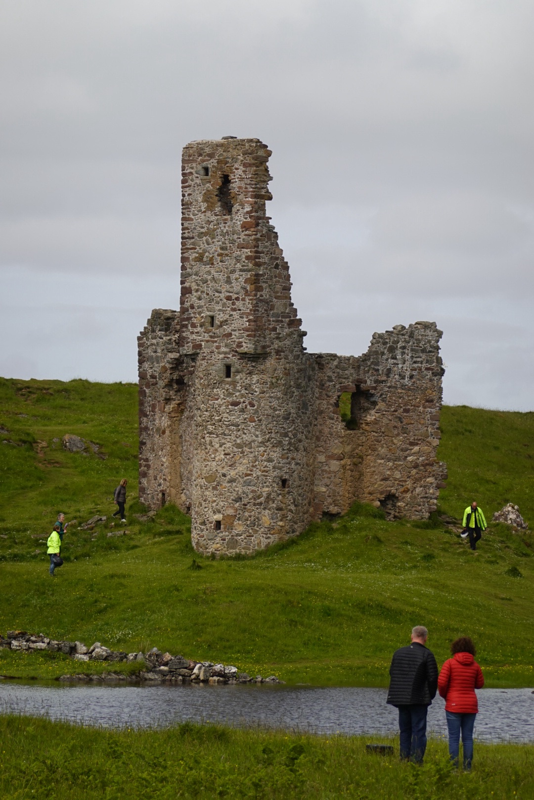
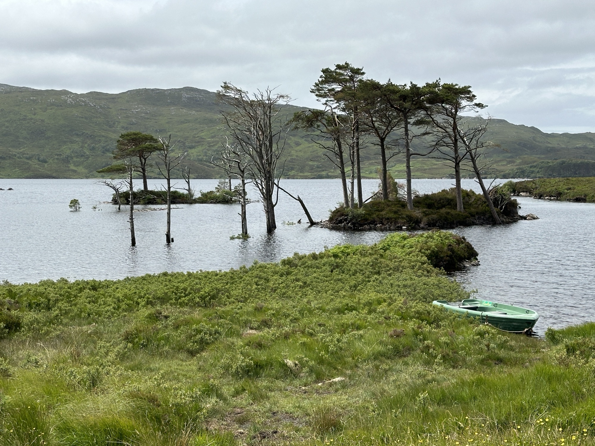
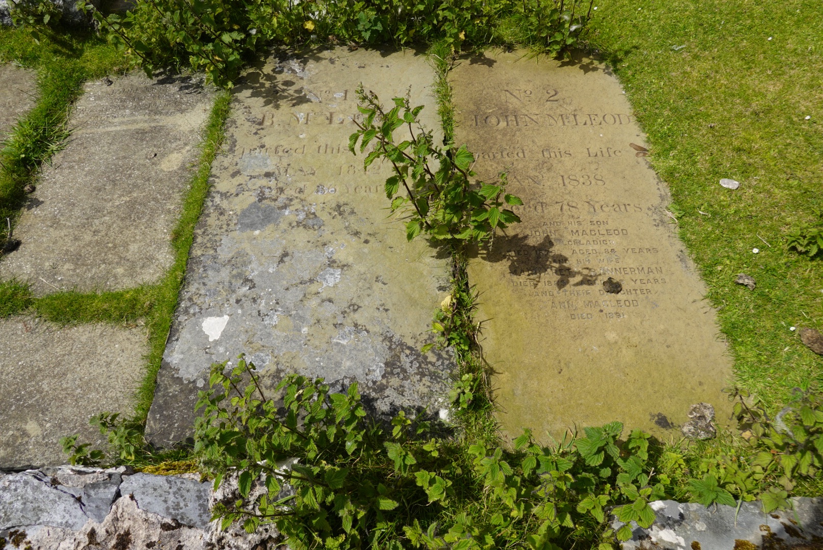
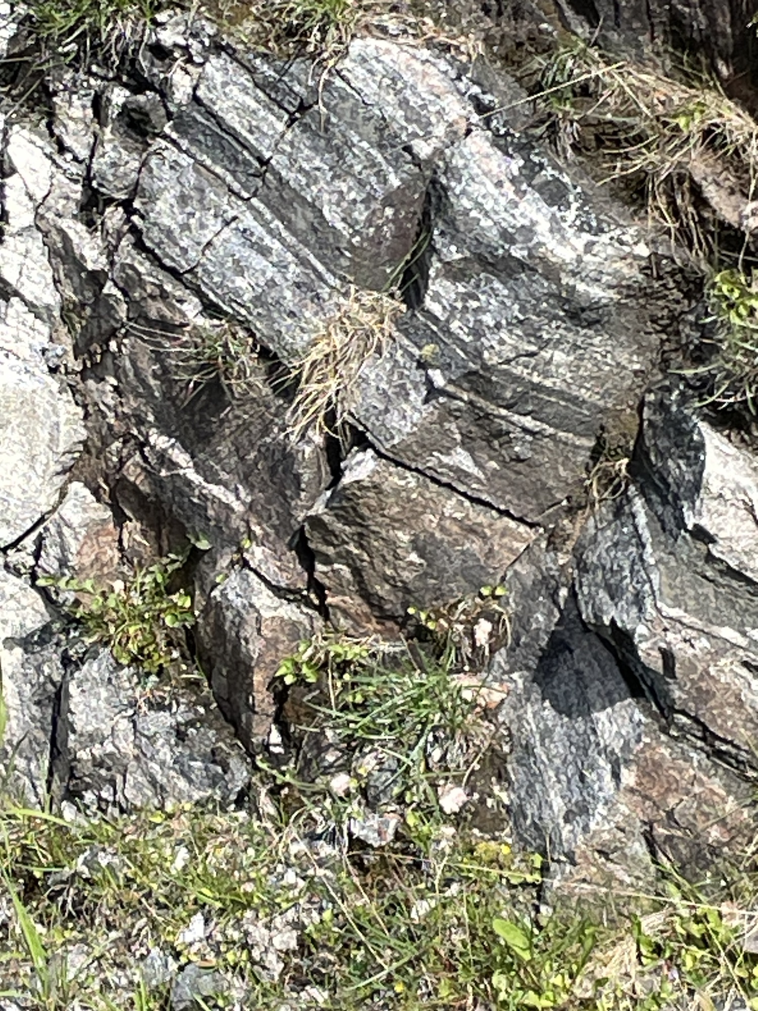
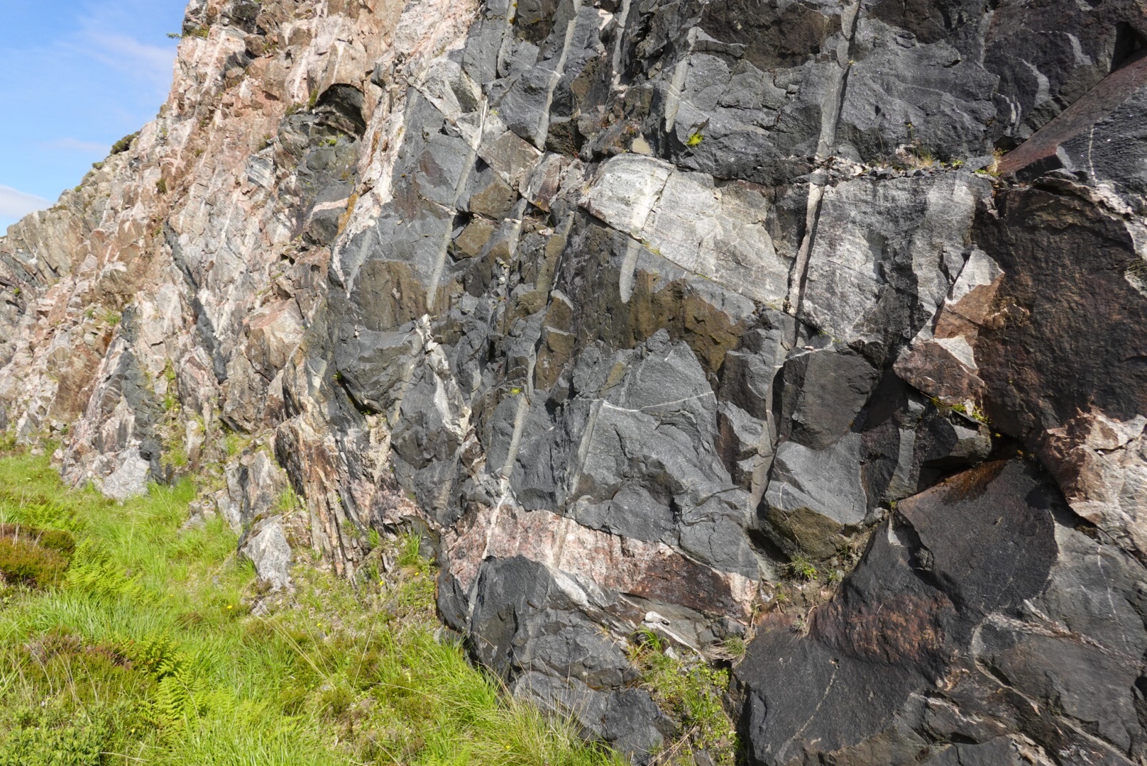
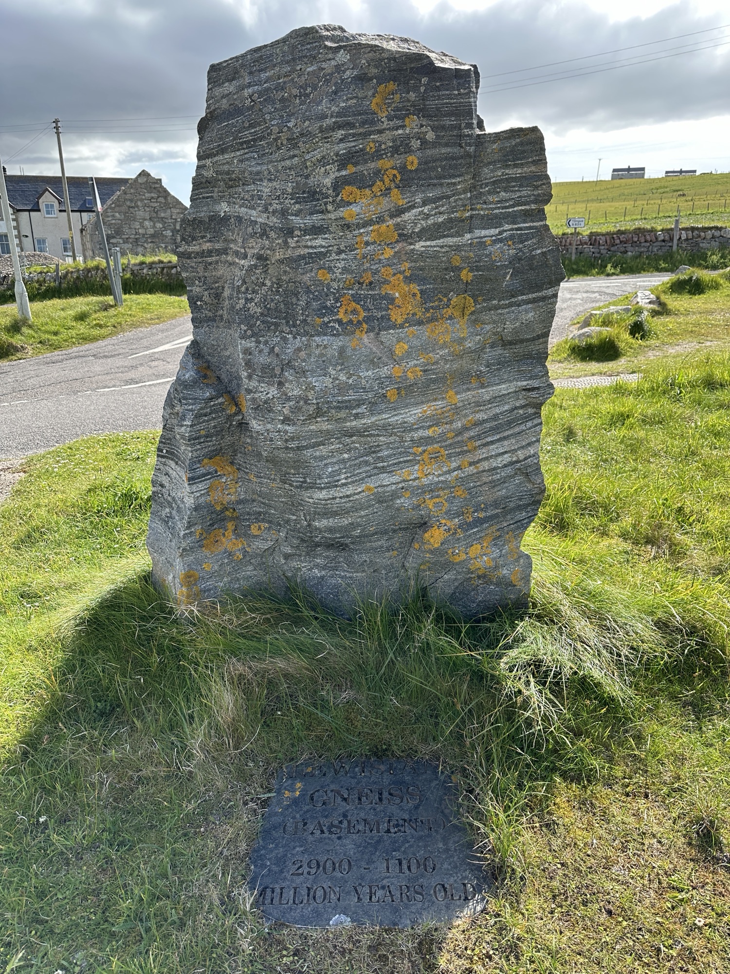
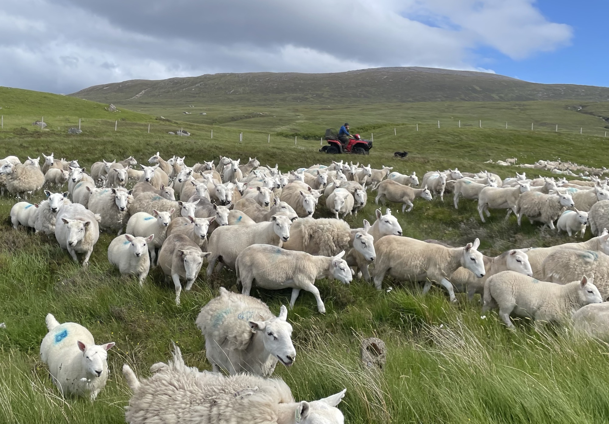
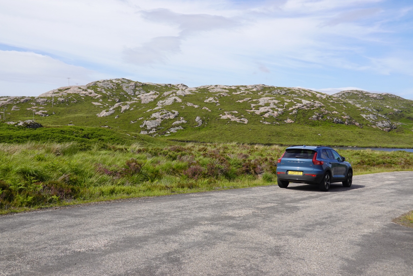
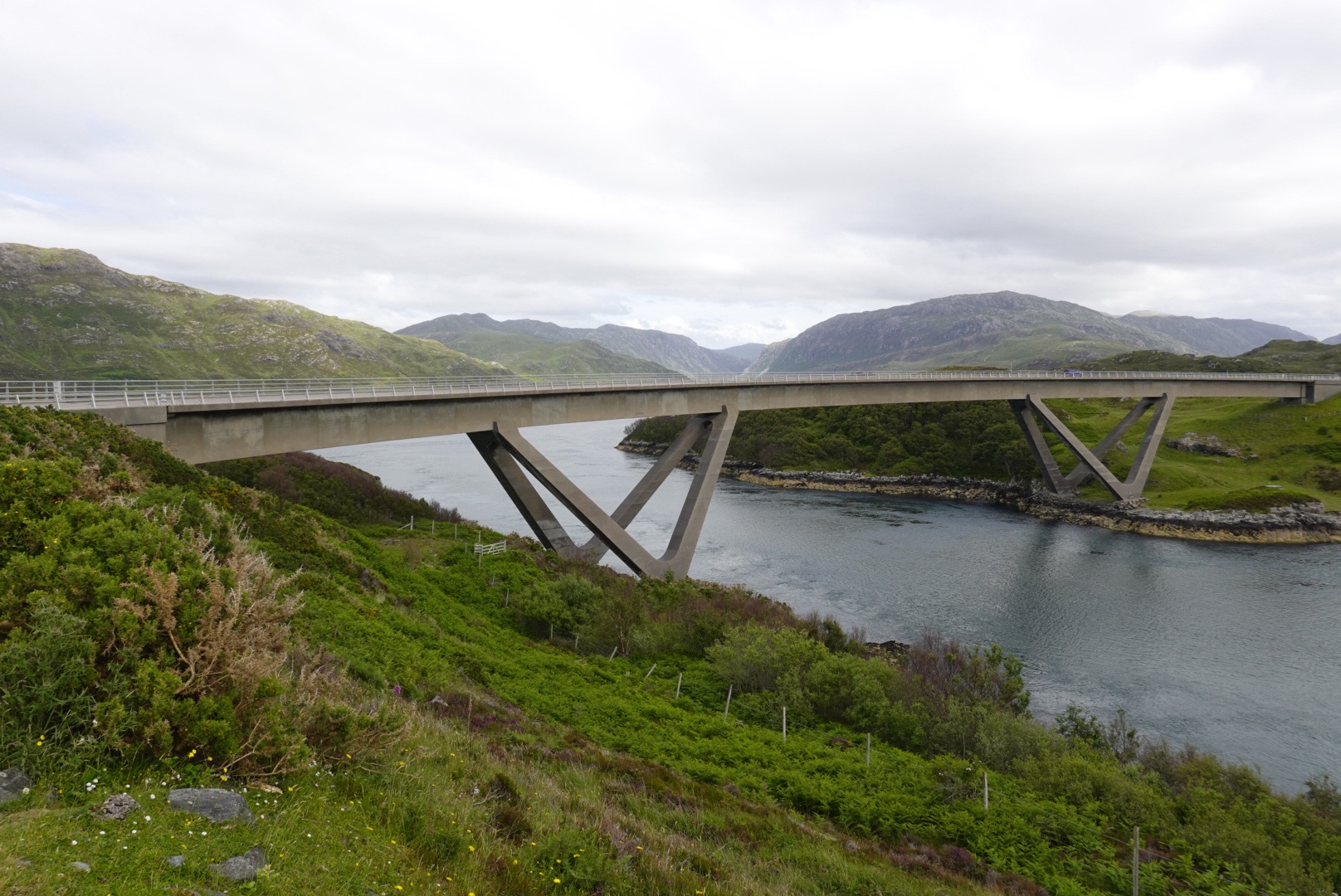
Ardvreck CastleCalda HouseIslands with unusual trees in Loch AssyntDrumbeg viewpointSecondary roads are challenging!Old Stoer church and cemetary, with graves of the McLeod clan dating to 1830sGneiss with mafic (high maganesium, dark colored) bandsDark igneous rock known locally as the Scourie dikes intrude the gneiss.The dikes also show involvement in deformationLewisian Gneiss on display in DurnessThese were being herded – toward the road we were on!So many, but also so cute.Mountains behind our carTypical Lewisian Gness terrain in the highlandsKylesku Bridge
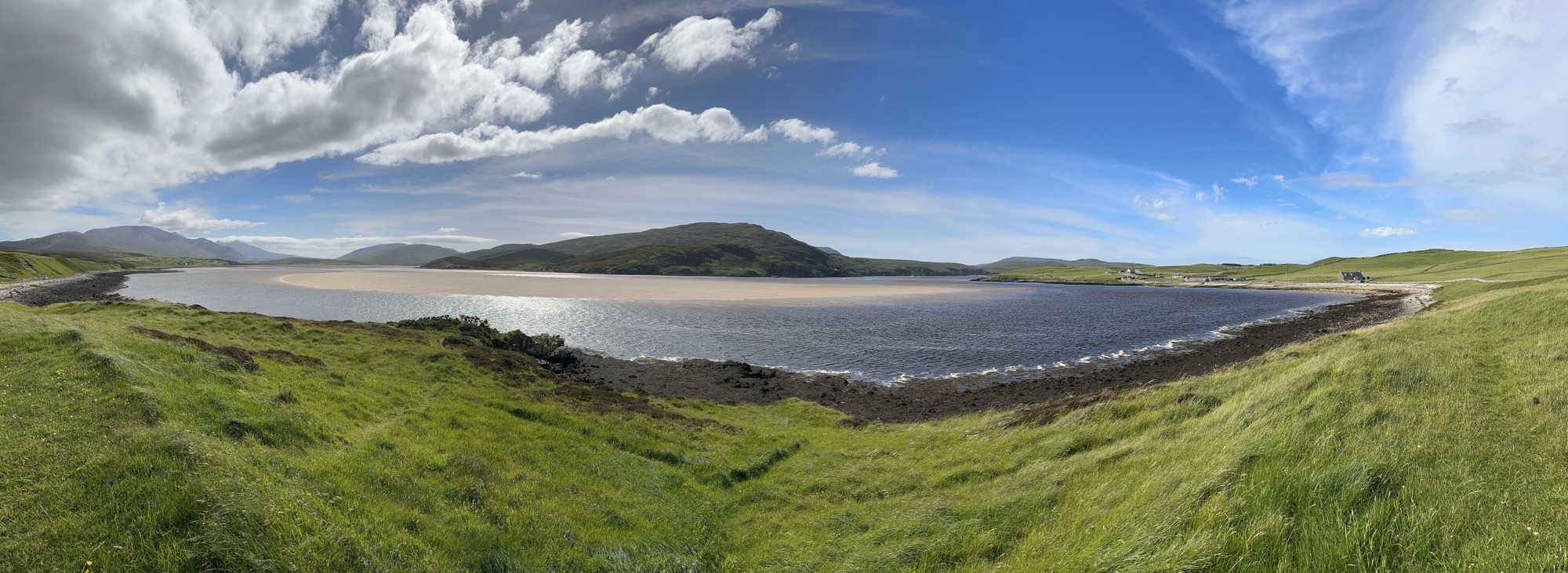
Beach at Keoldale, south of Durness
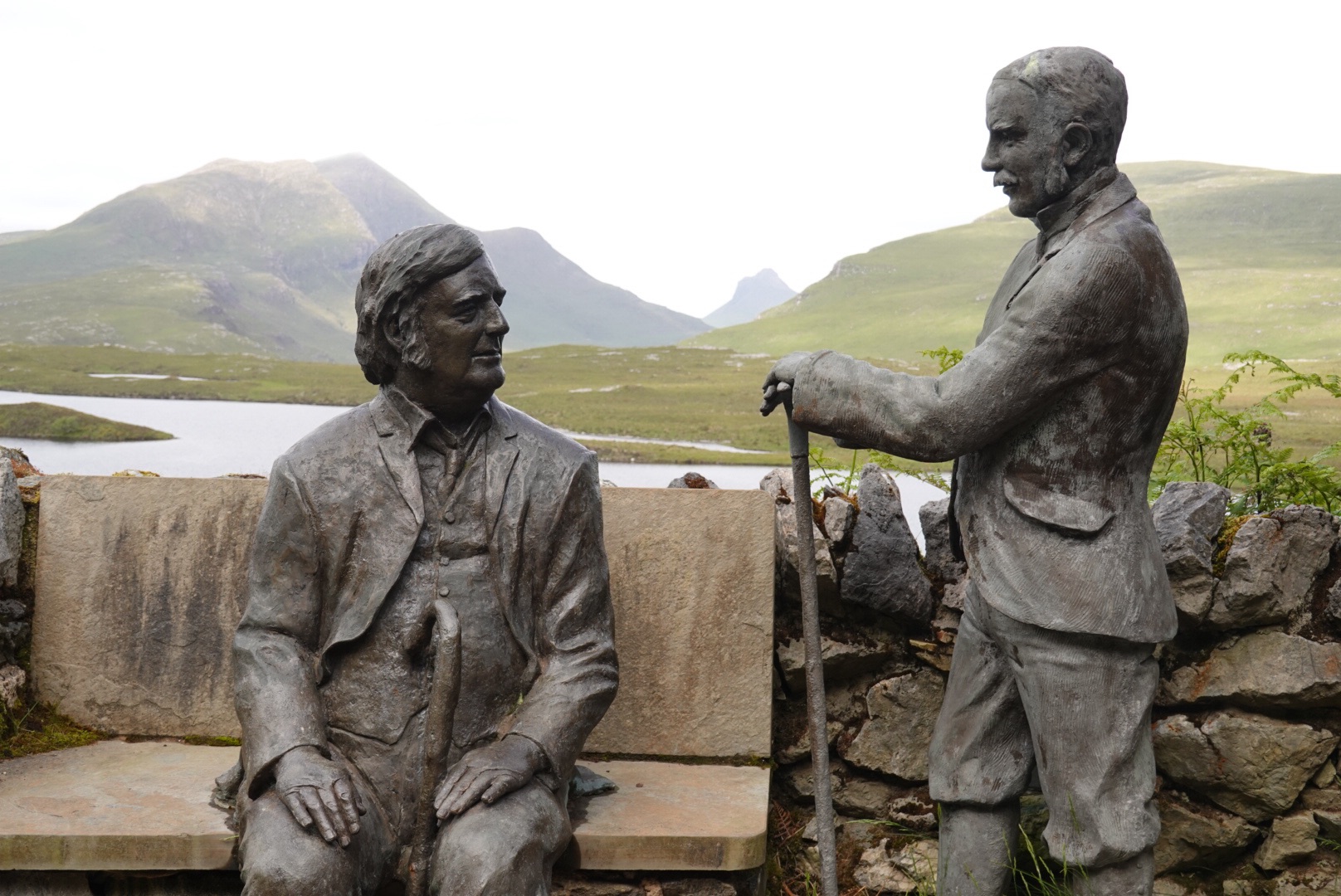
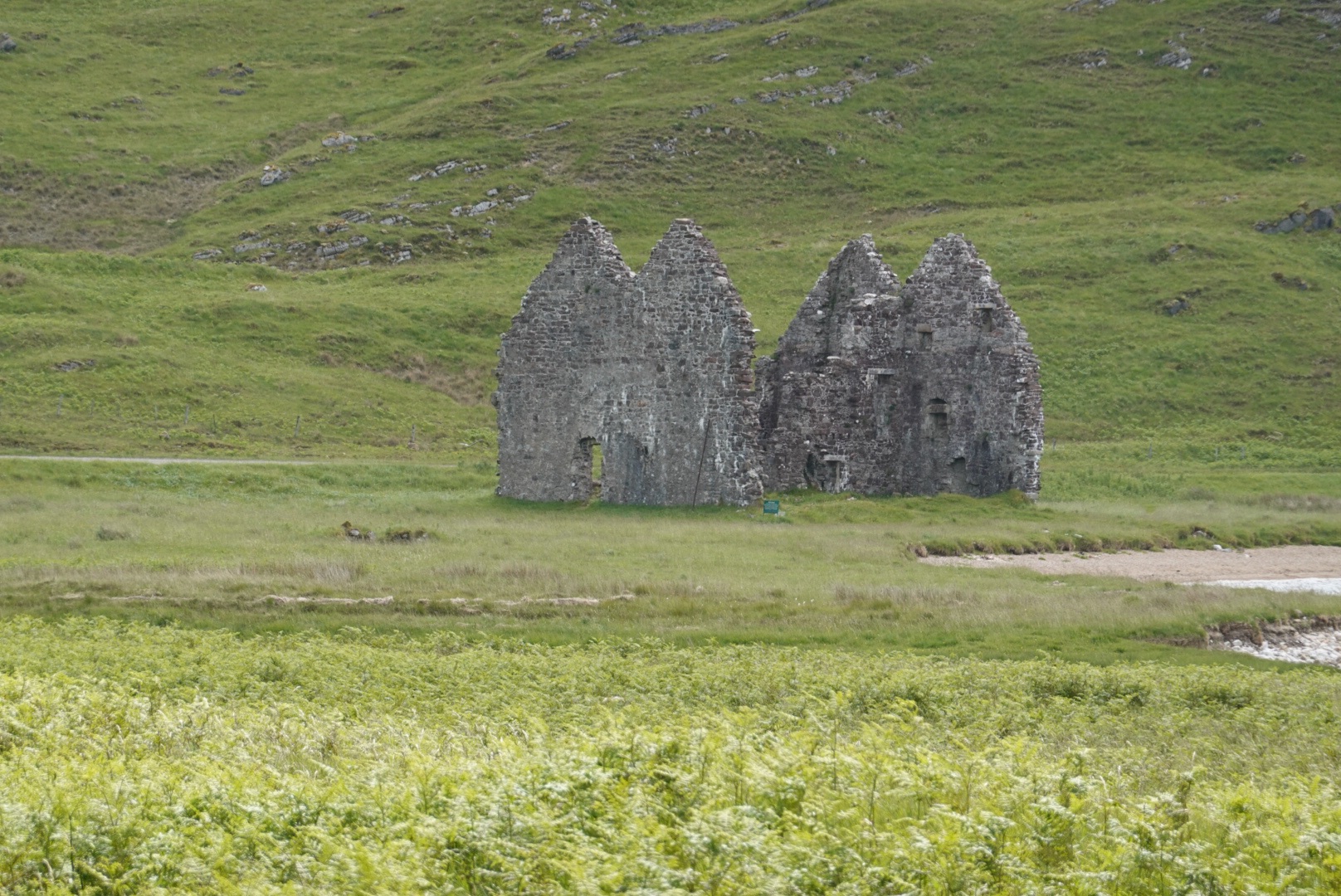
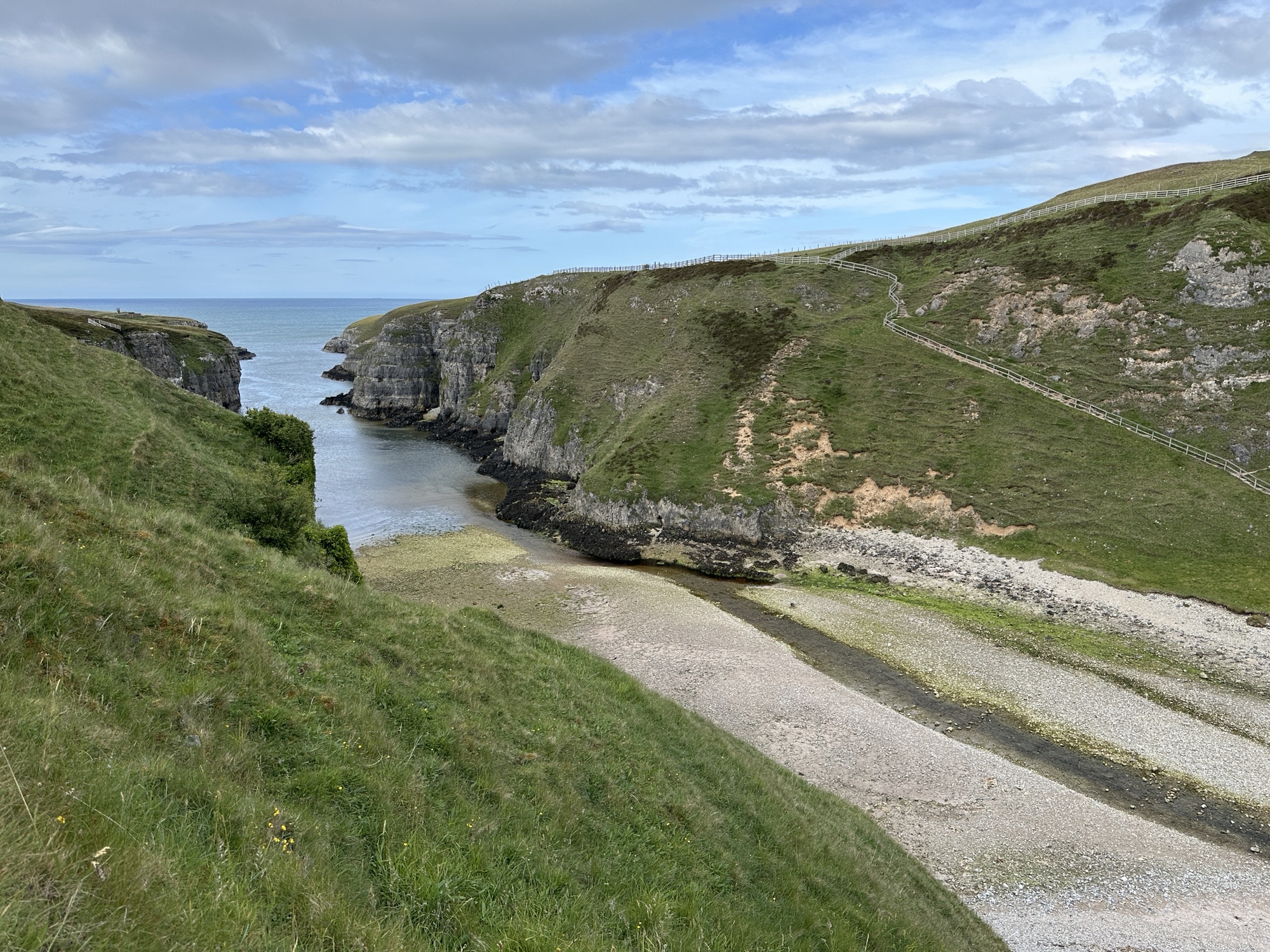
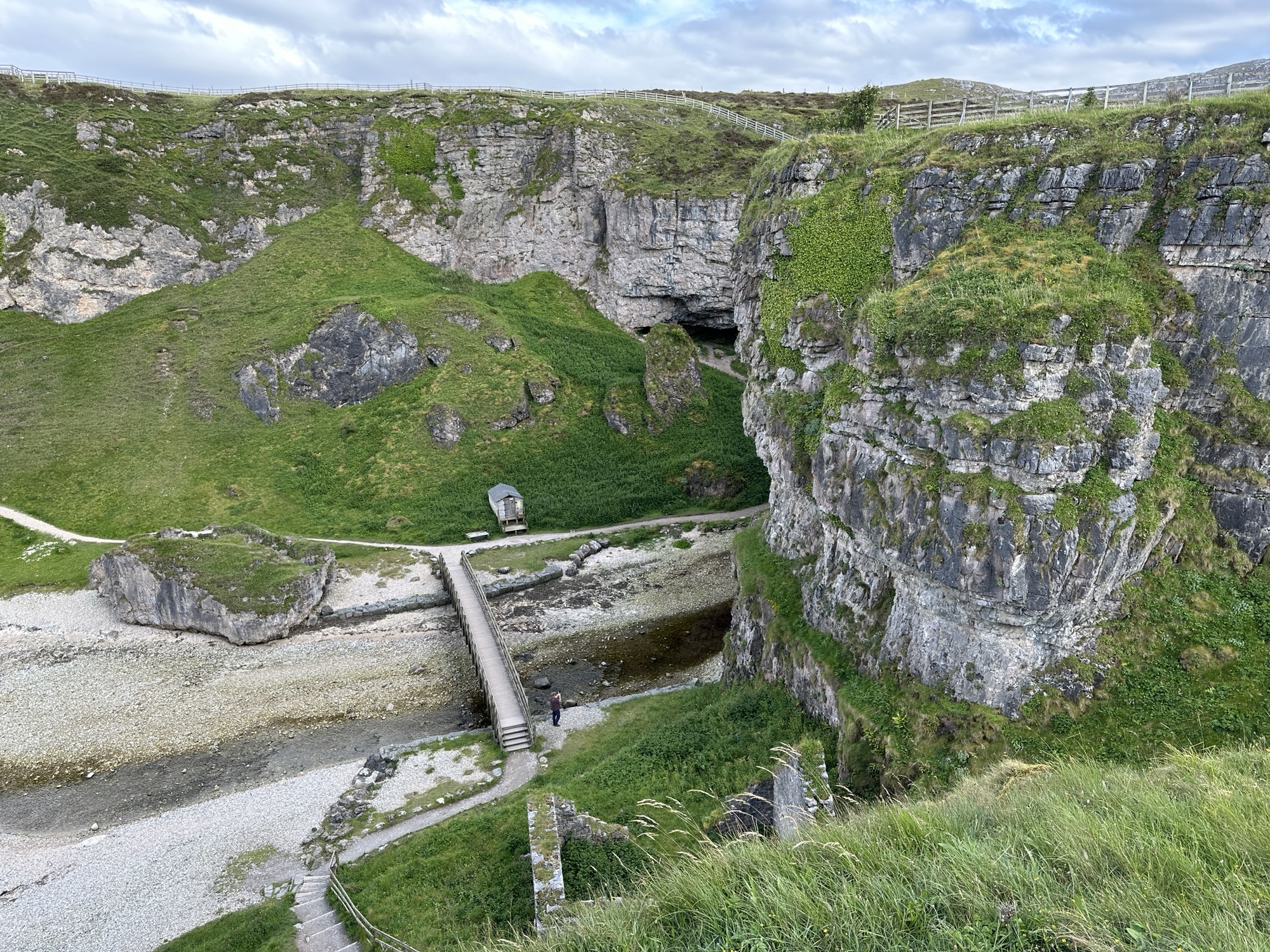
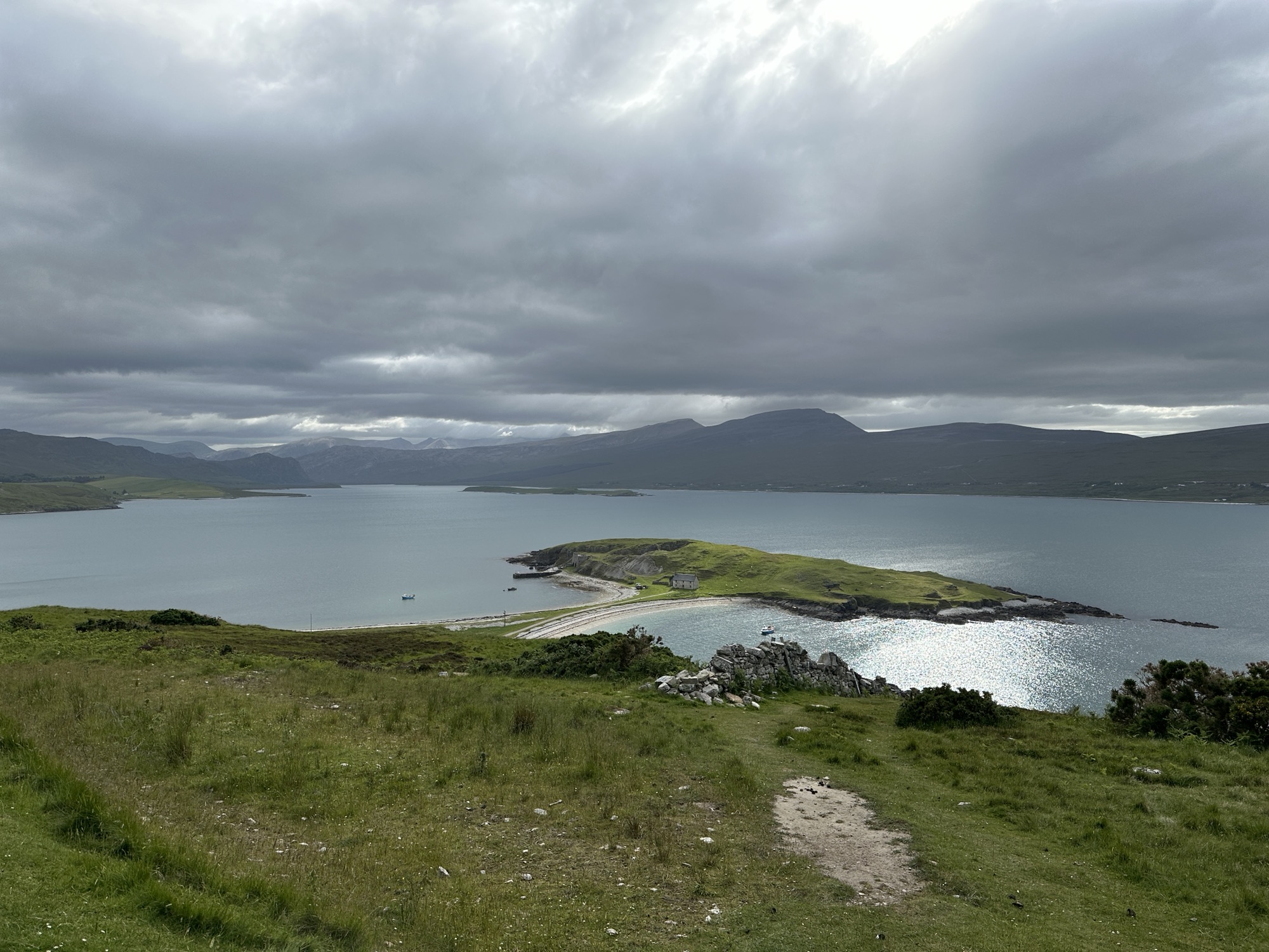
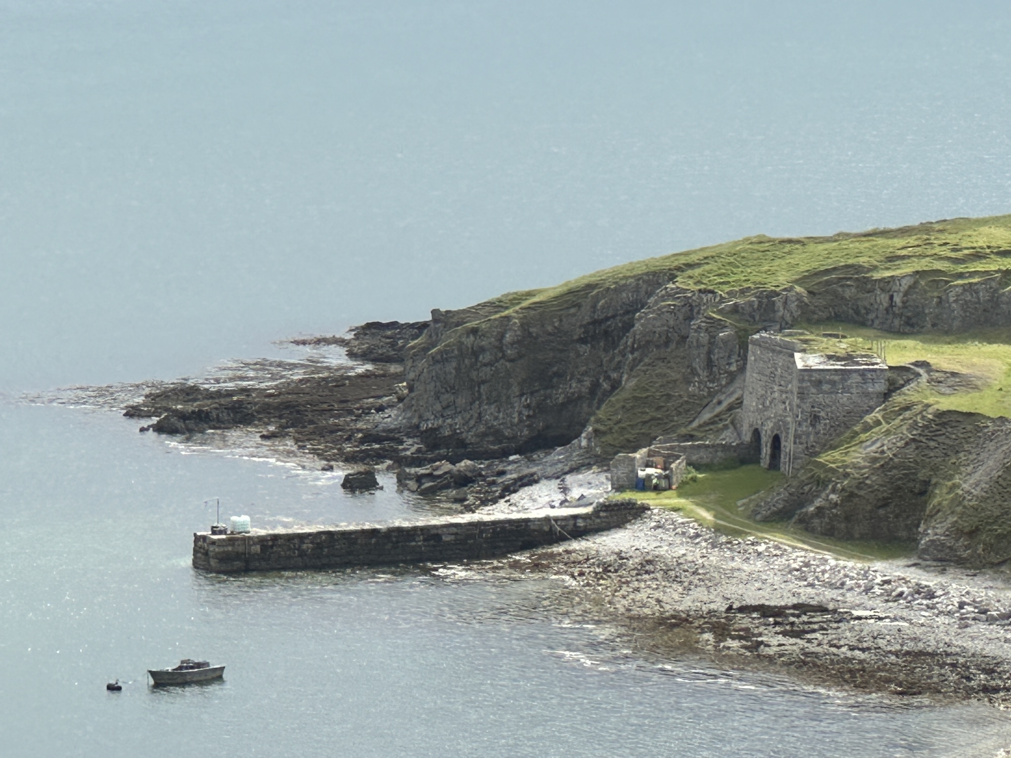
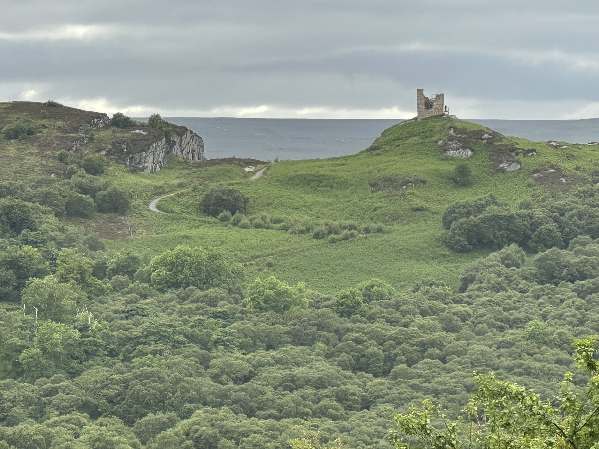
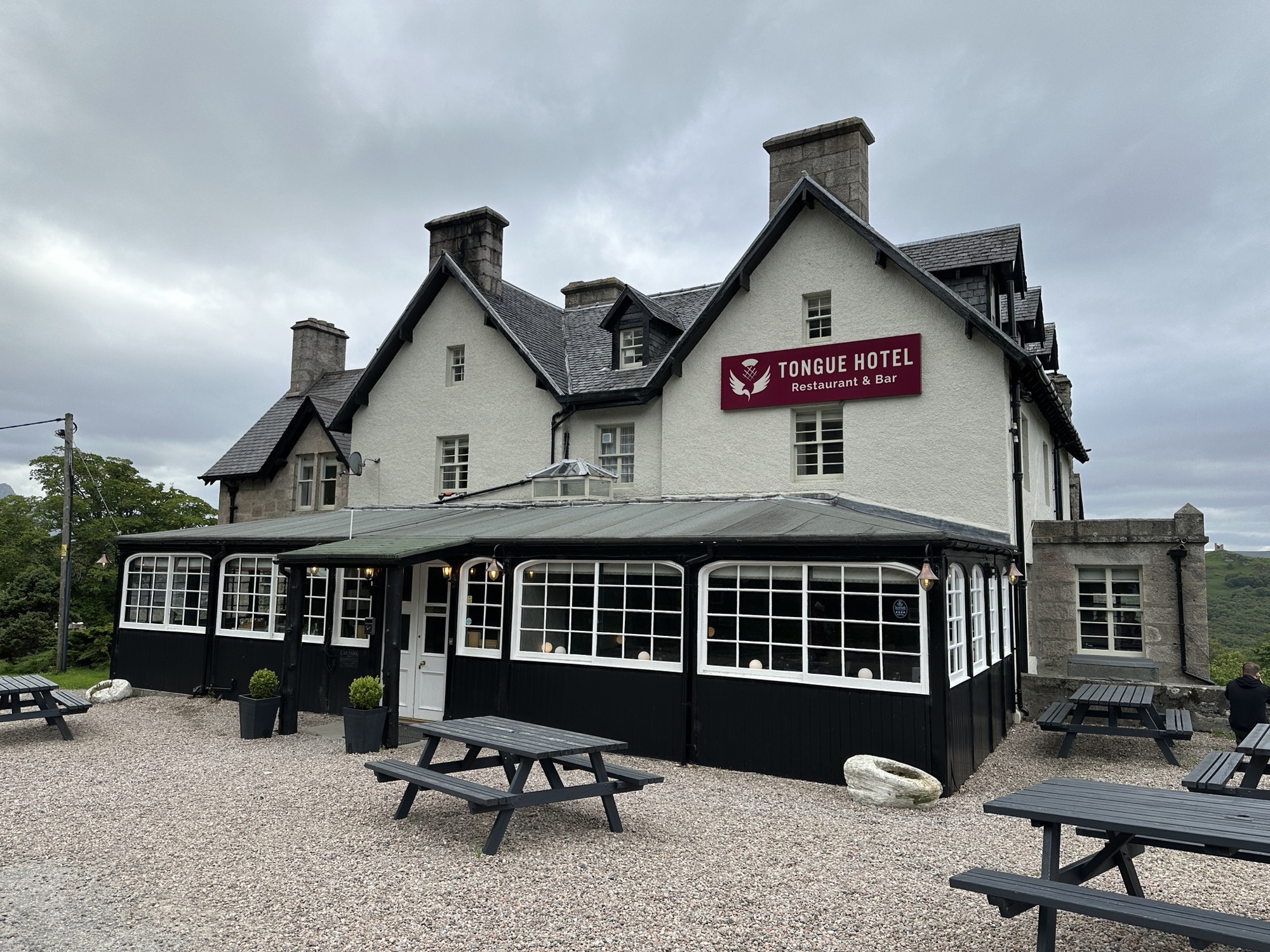
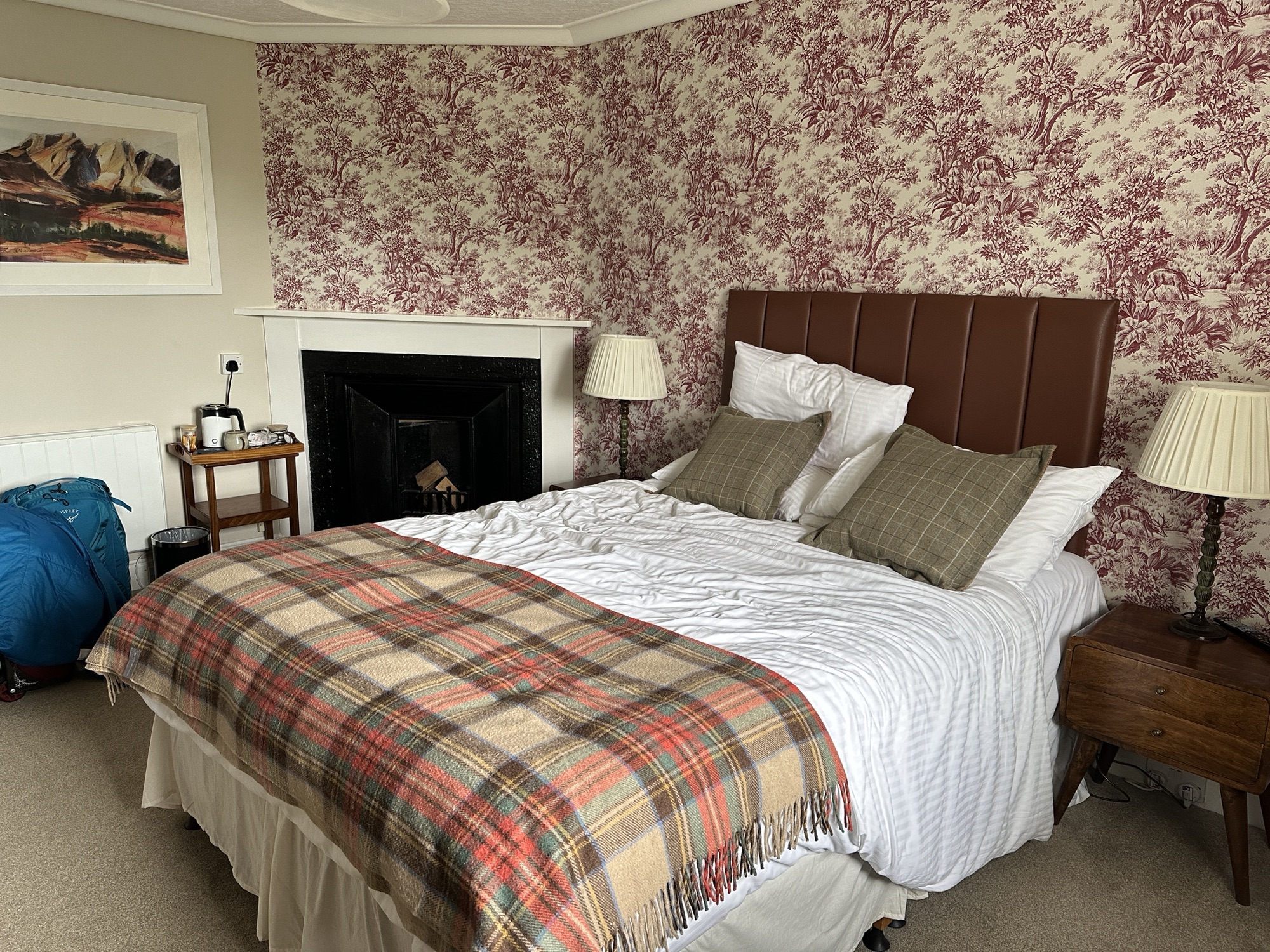
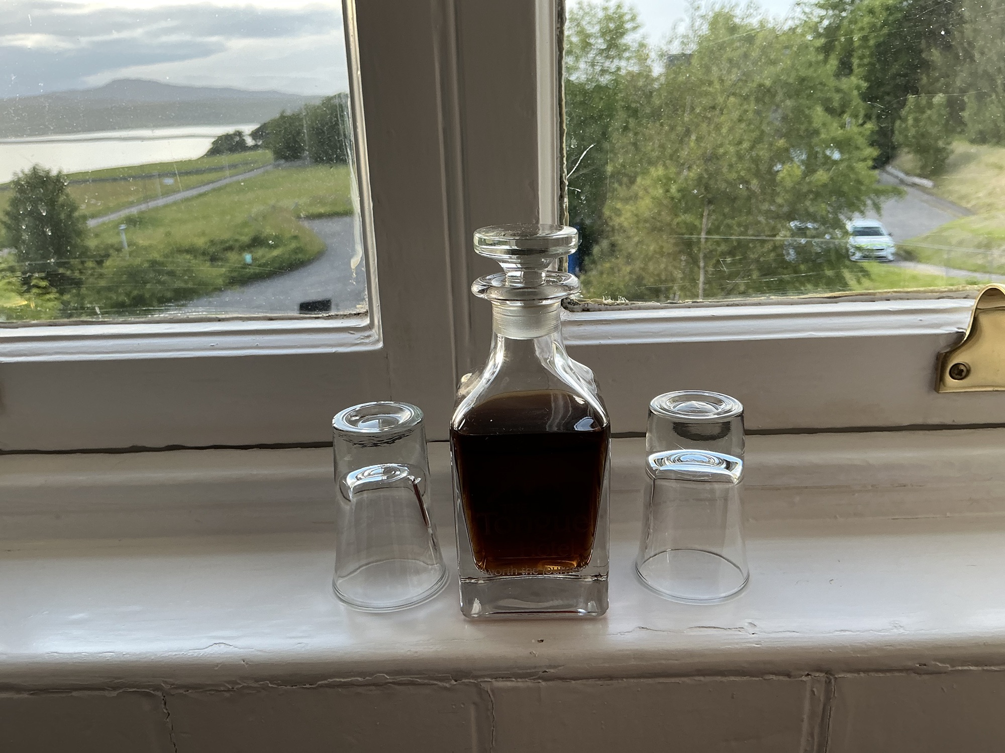
Inlet at Smoo CaveLooking down on the entrance to Smoo Cave in the Durness LimestoneKyle of TongueCloser view of kilns use to make lime from limestoneCastle Varrich lends its name to the bar and restaurant at the Tongue HotelTongue Hotel where we also stayed in 2013Our room at the Tongue Hotel included a fireplace (decorative) and a bathtub.Sherry is supplied in the room; note the glass is old so the view is distorted.