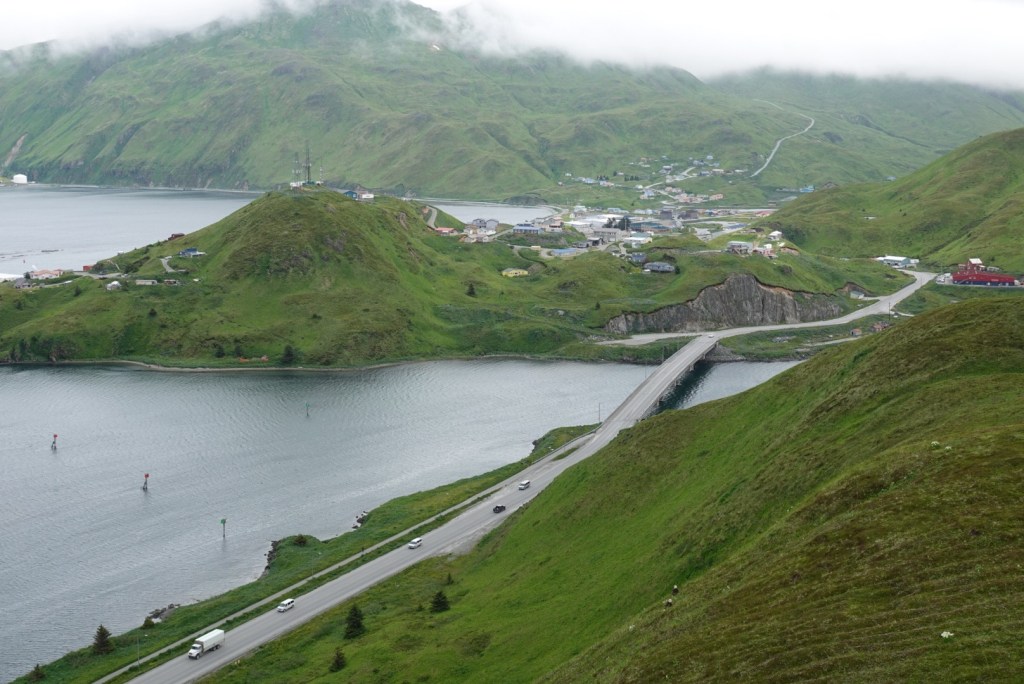
When we awoke to thick fog, the ship had already anchored near St Paul Island, population 417, in the middle of the Bering Sea. The ship had cruised through the night. We are closer to the international date line than we had realized.
Location of ship docked near Saint Paul Island, one of the Pribilof Group
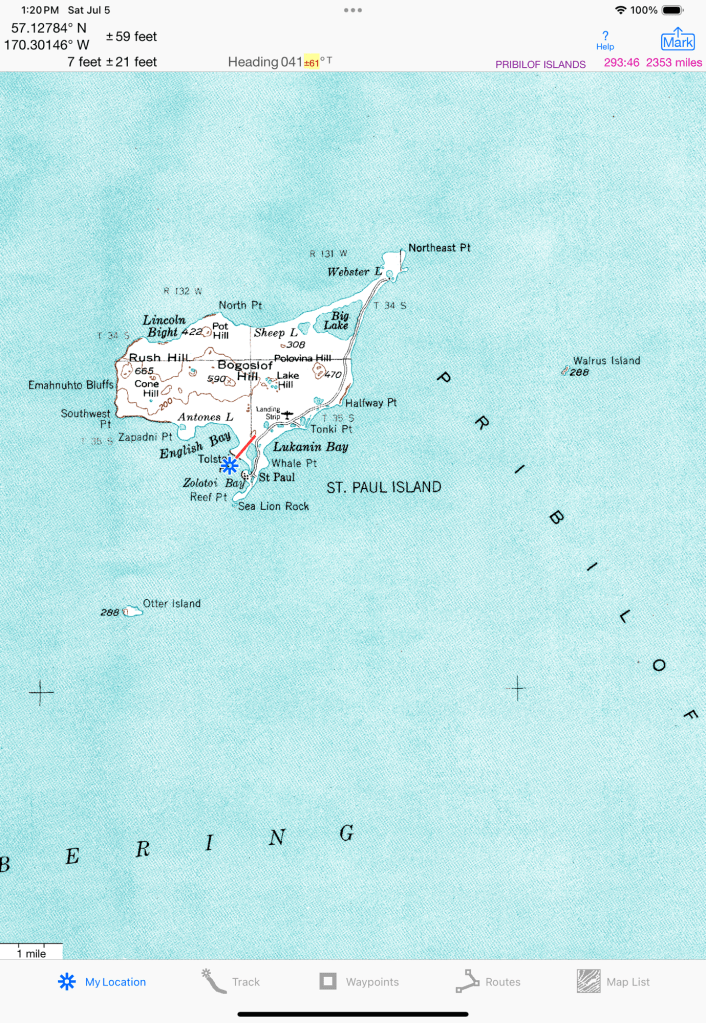
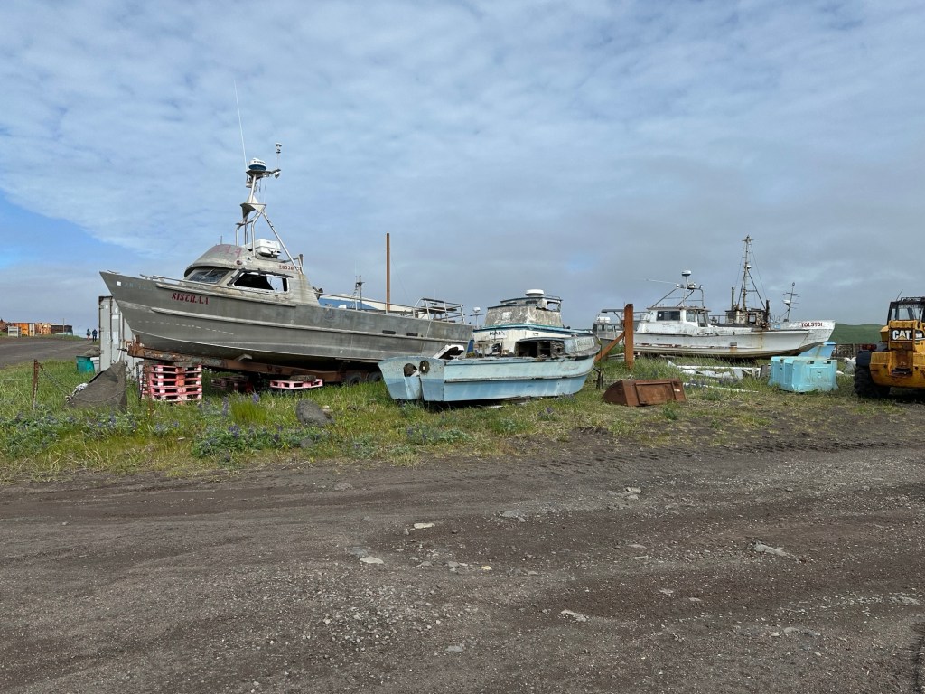
We Sea Otters were called to take the tender boats to the dock early.
Old boats near the dockTender boat
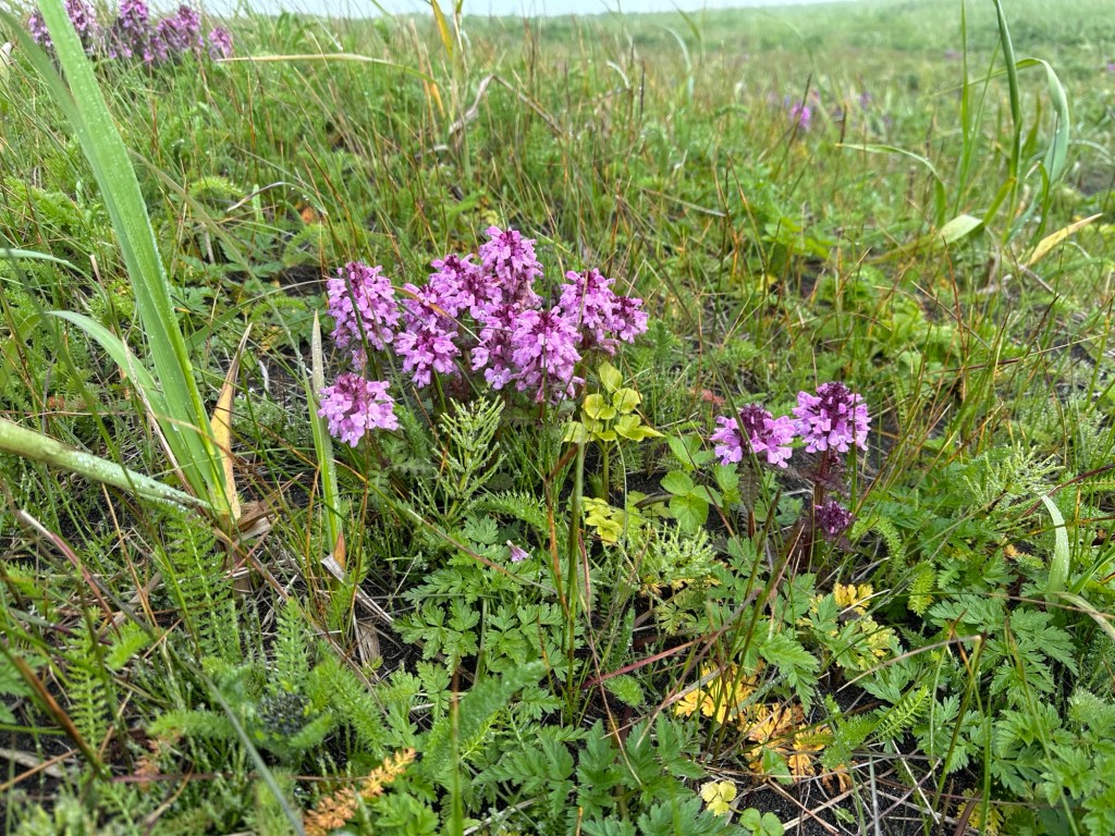
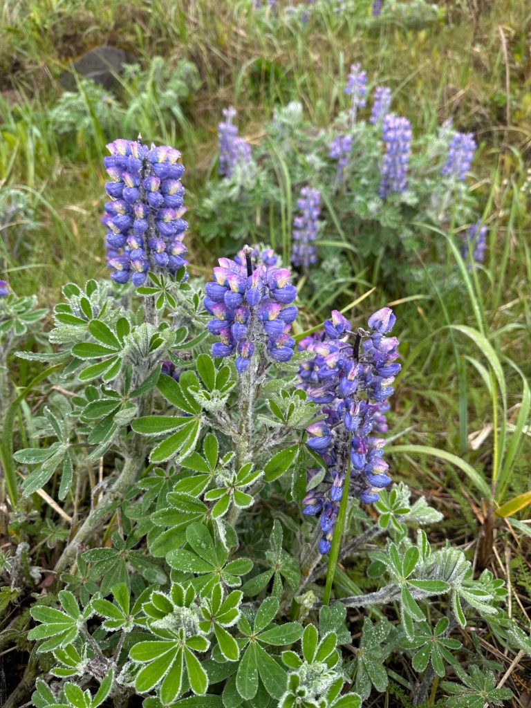
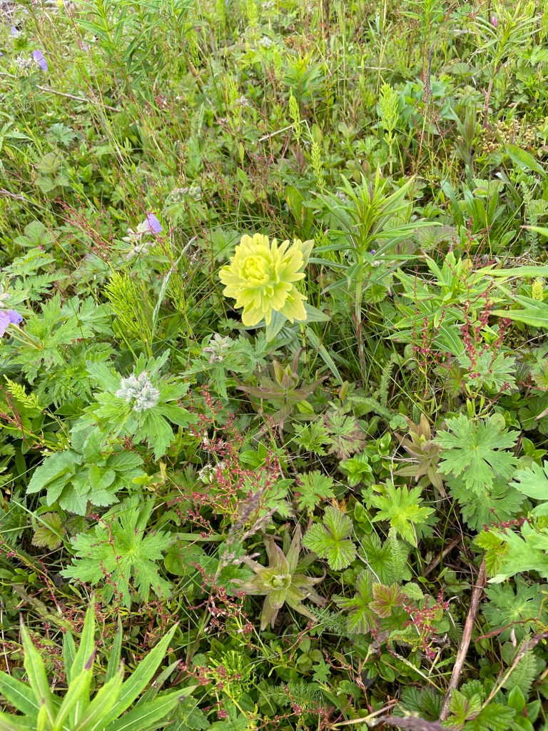
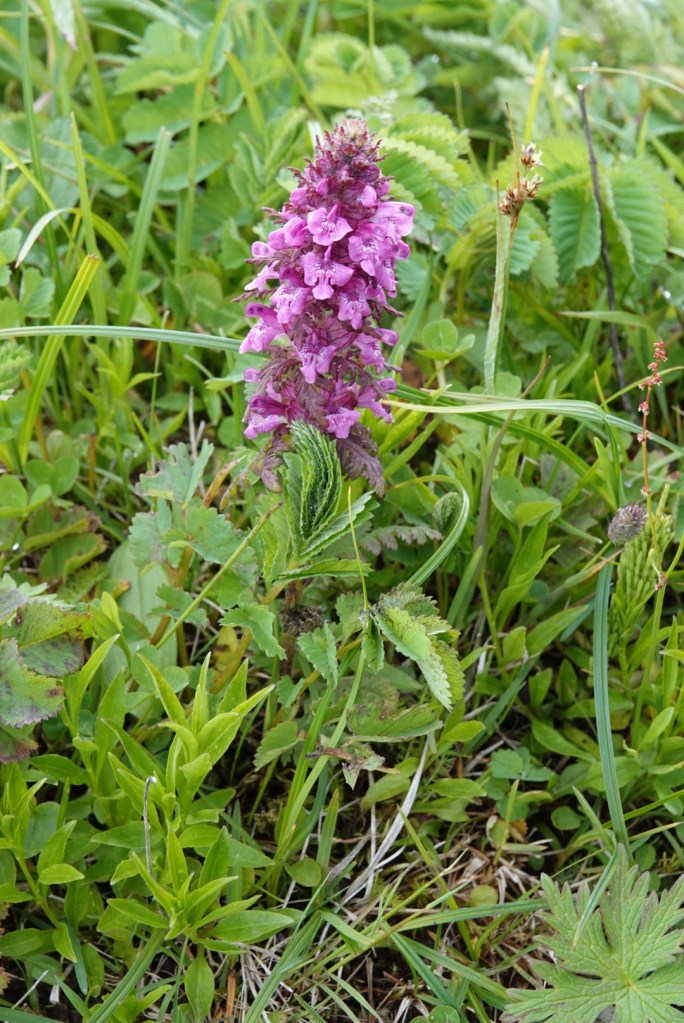
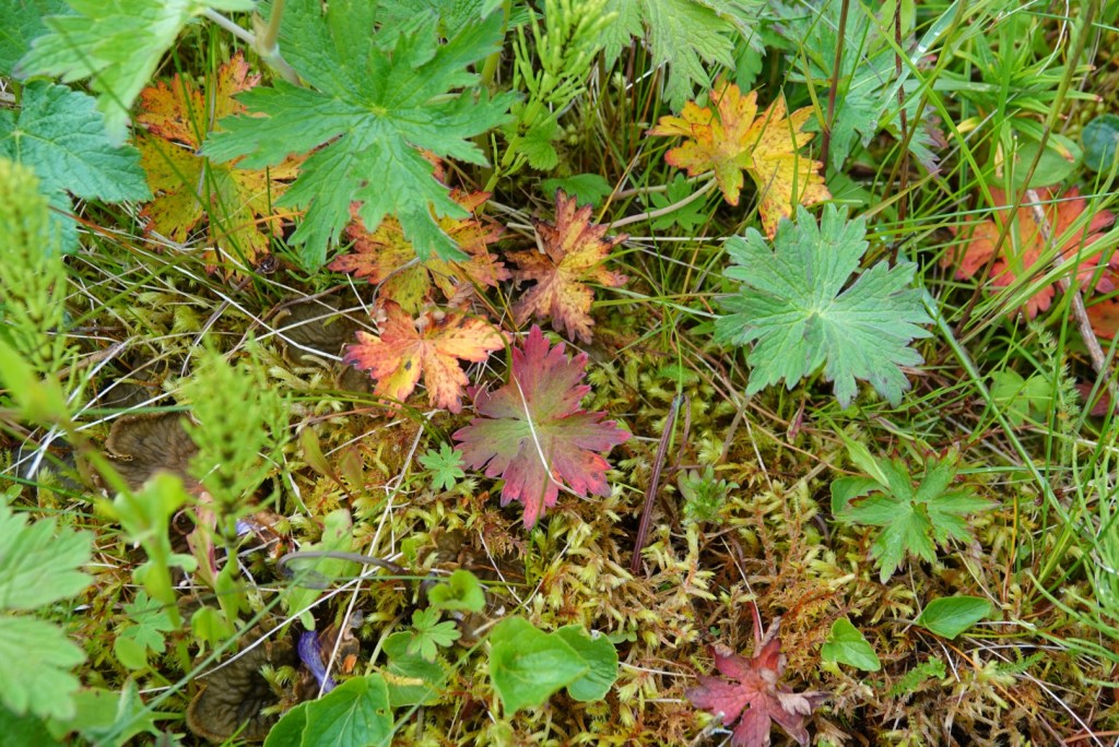
The volcanic island was covered with dense green foliage and wildflowers. No trees.
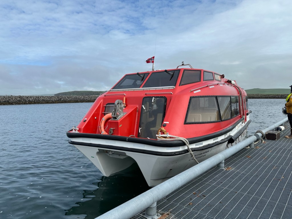
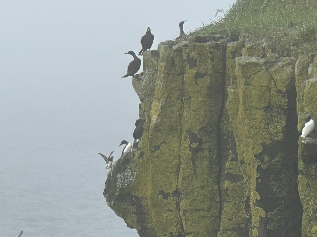
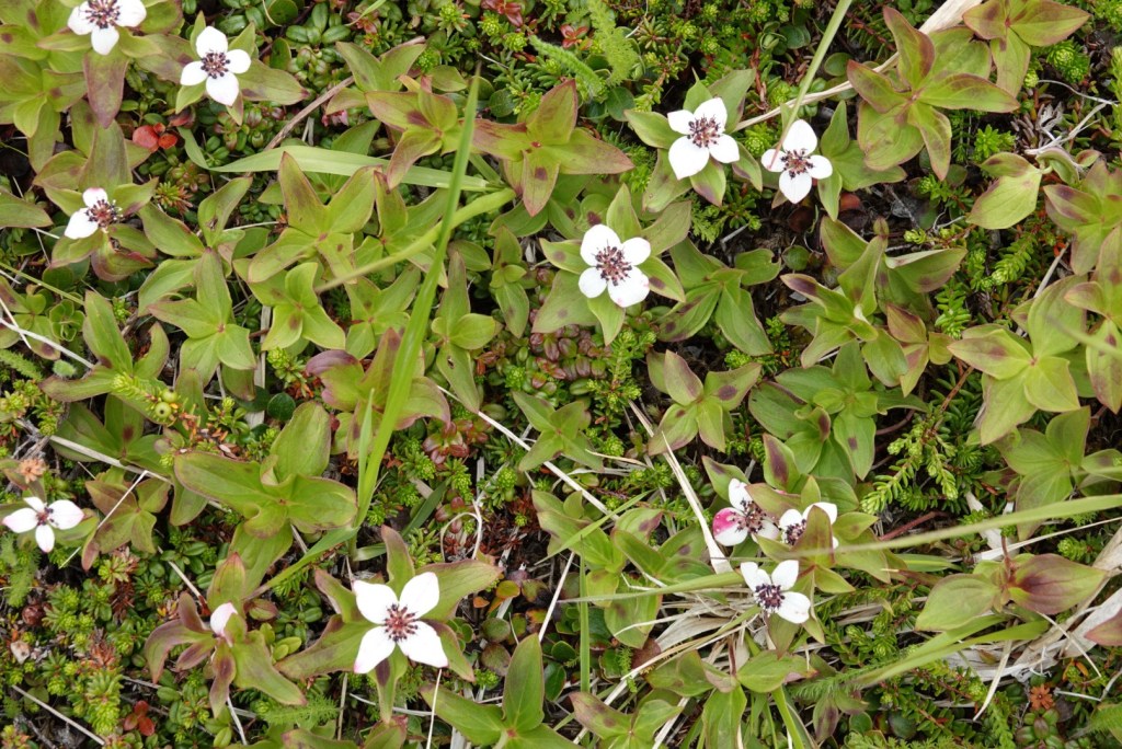
Cormorant on cliffBugleweedLupine leaves had ice on their edges
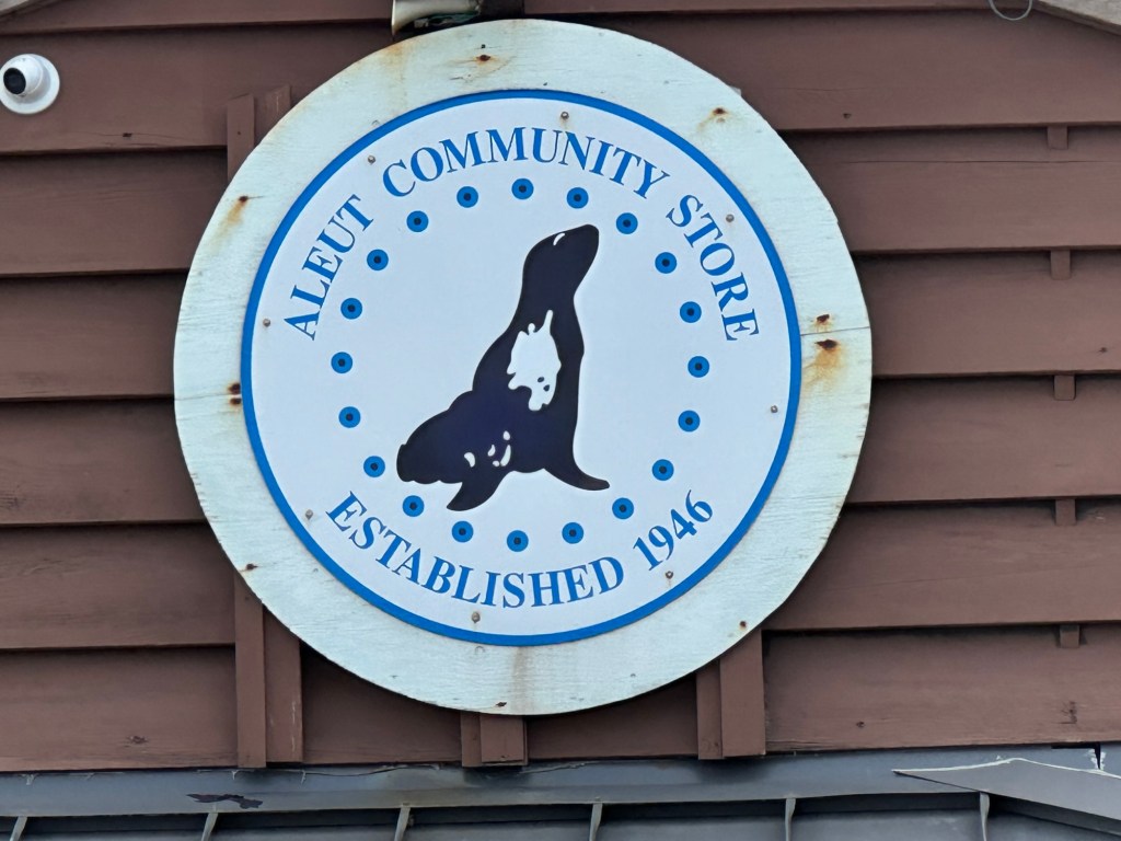
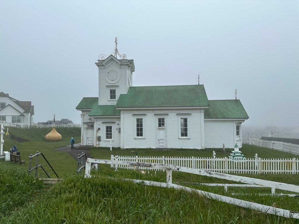
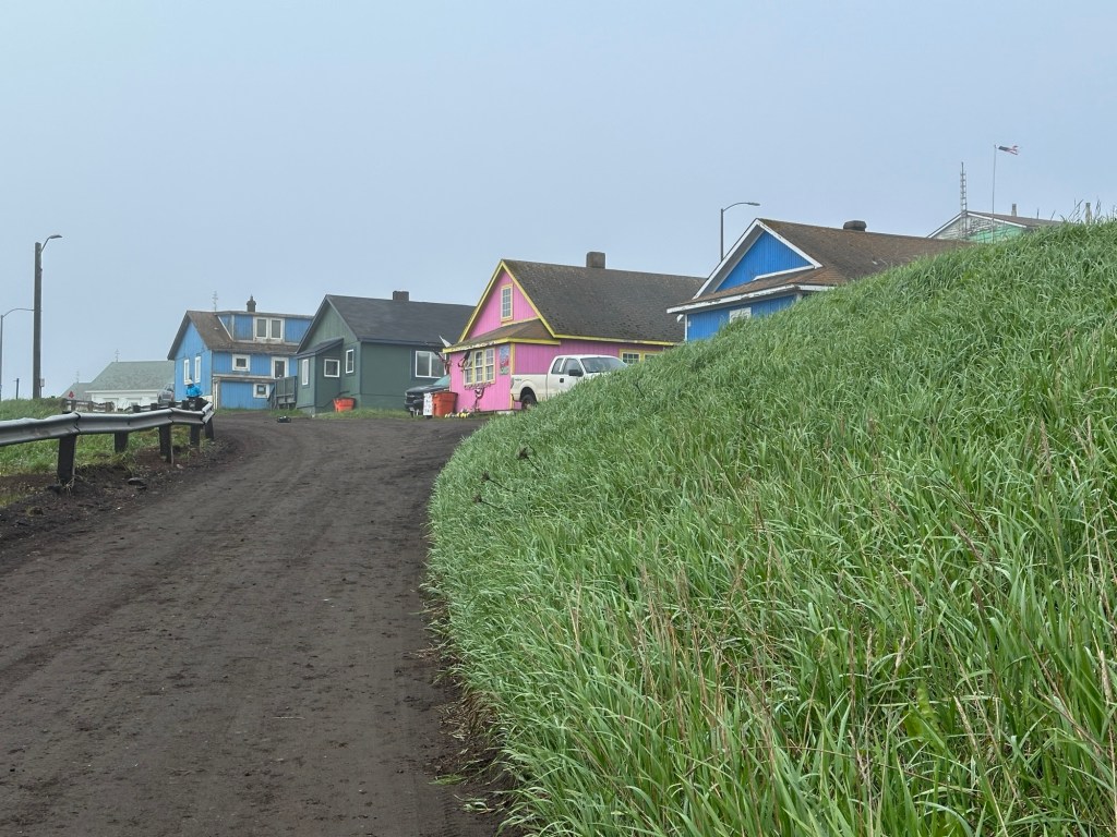
The town was small, but nice, with good gravel and sand roads. We did wish to see street name signs.
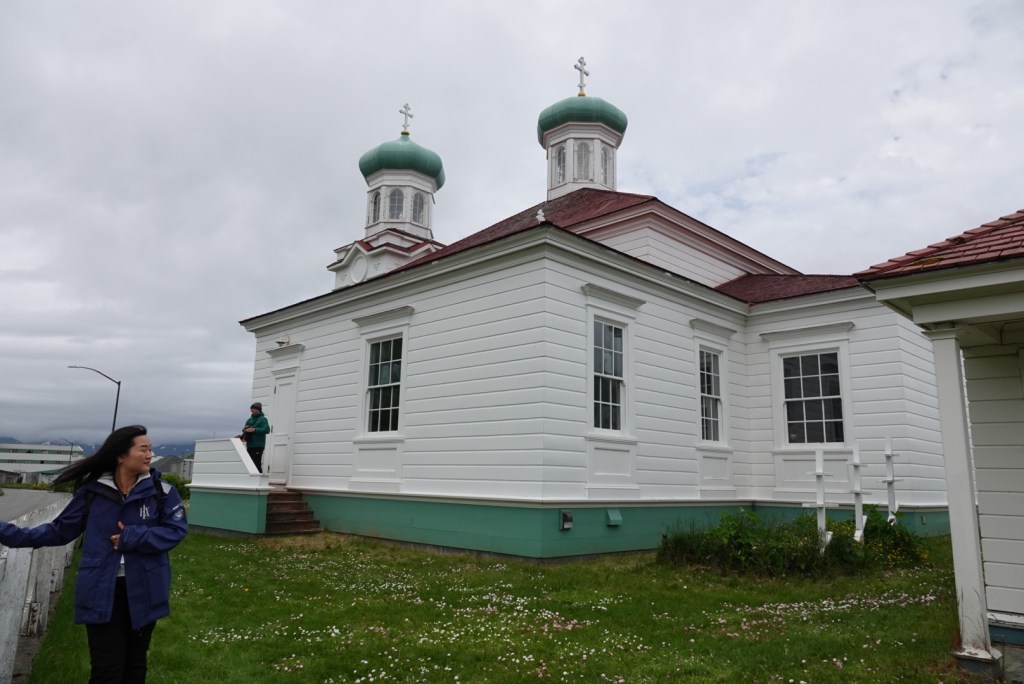
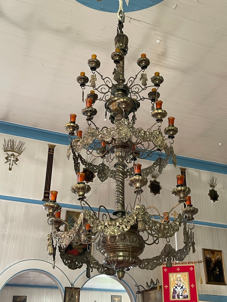
The town’s only storeRussian Orthodox Church and the gold onion dome that came off in a windIn museum adjacent to the church Seashell flowers on a large bone, in the museumHouses painted in a variety of colors
We wandered around lost for a while, but finally found the correct road.
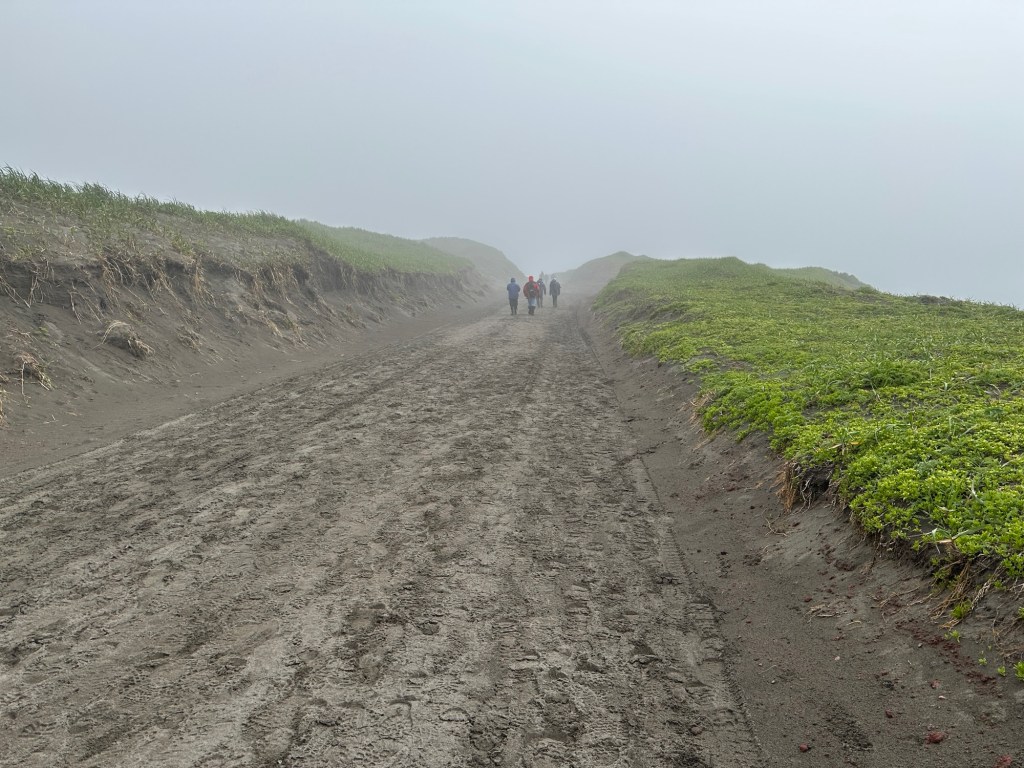
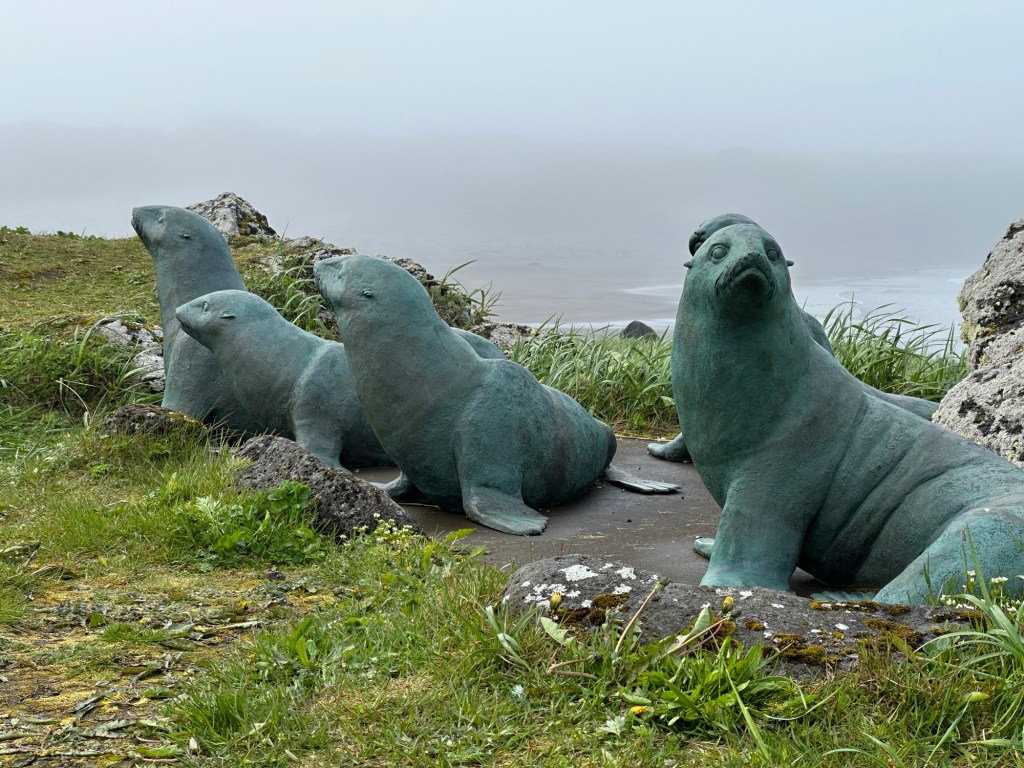
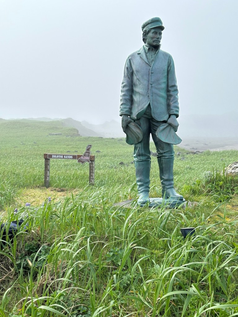
All the roads are sand or gravelStatues of fur sealsStatue of Aleut fur trader, near seals, was placed in 2011, 100 years after the international agreement to conserve the seals.
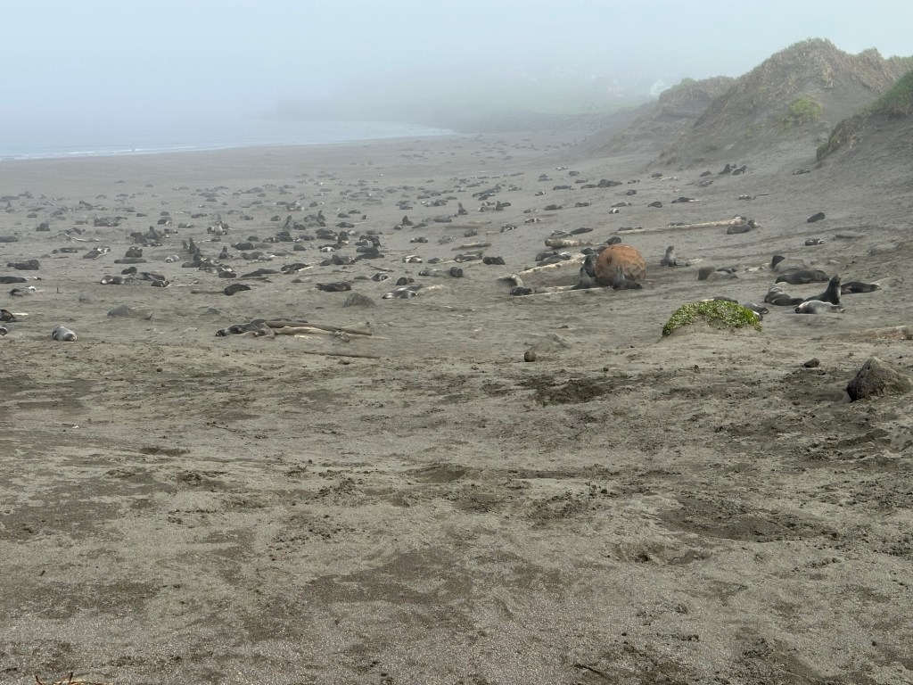
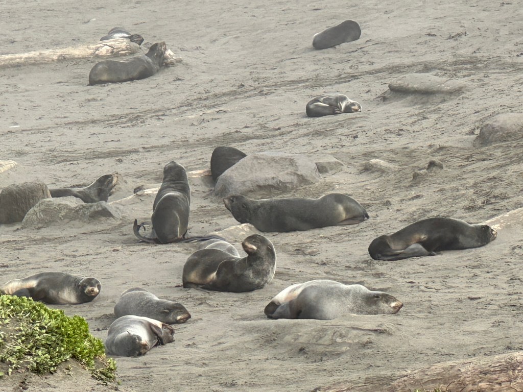
Our goal was the Zolotoi Seal Sanctuary, and we were not disappointed.
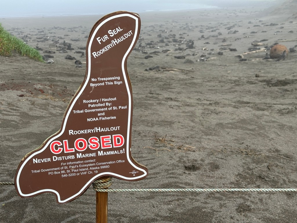
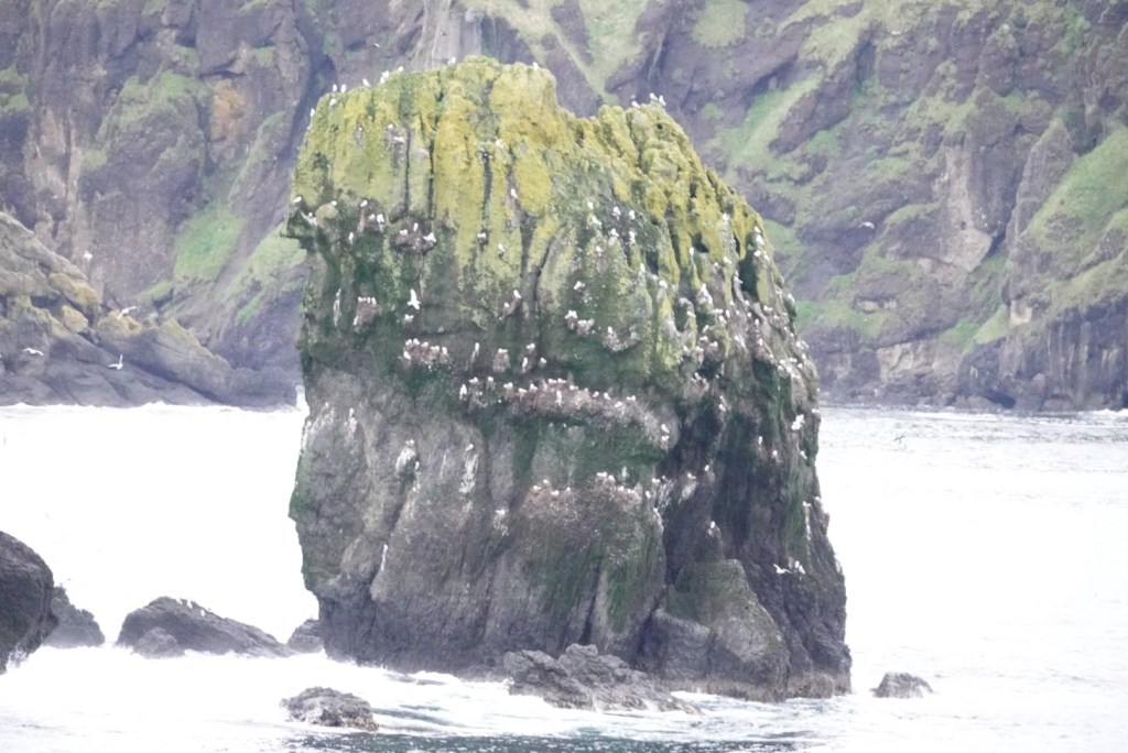
Thousands of seals in numerous coves along the roadThe Northern Fur seals are happy in their sandy coveThese signs kept us from disturbing the seals
Video of seals from a blind set up by the U.S. Fish and Wildlife Service
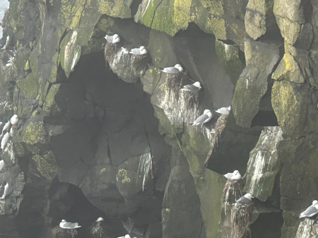
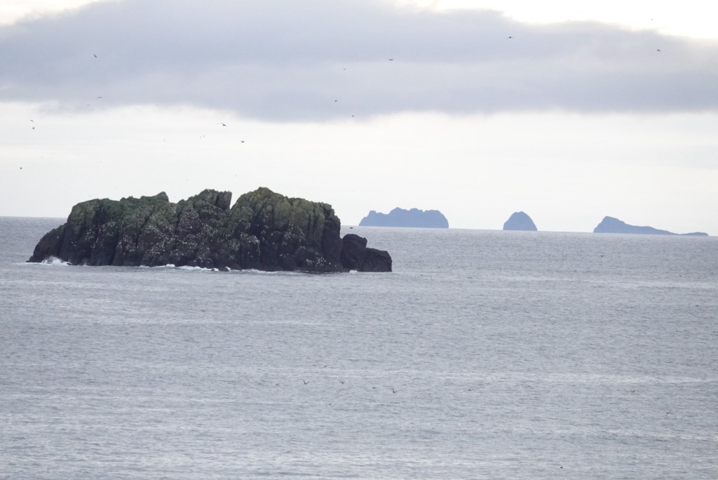
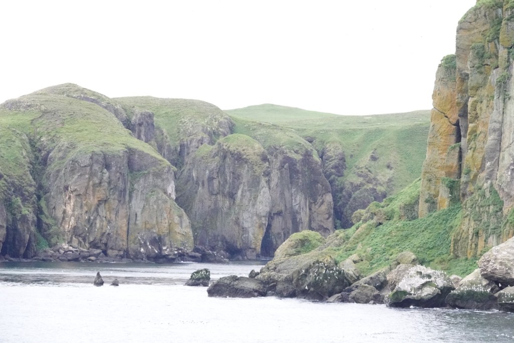
Another goal was the bird cliffs.
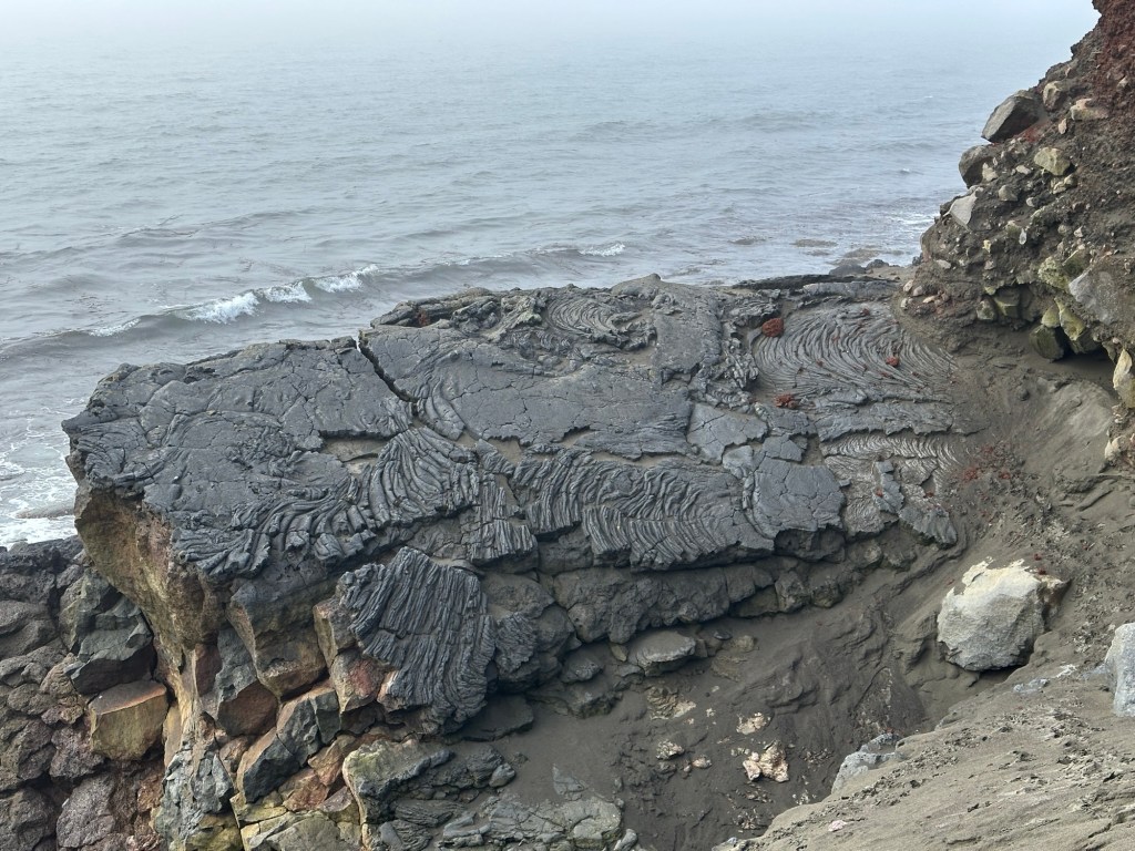
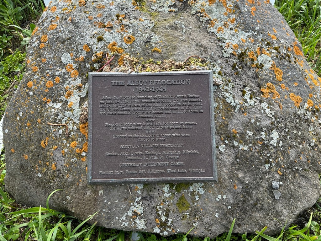
Sea gull nestsCormorants and puffinsPahoehoe basalt flow adjacent to a cinder cone remnantCliffs of volcanic flows, sills, and ash.Saint Paul Island is composed of Holocene and Recent (as young as 3200 years ago) alkalic basalt with smaller amounts of more felsic rock. These rocks are considered an example of intraplate volcanism.Plaque commemorating the forced relocation of native peoples from these islands after the Japanese attacked during WWII
In the Explorer Lounge, after dinner, some of the crew performed in a makeshift band, featuring electric guitars and an electronic drum kit. Clare and others danced to a few familiar tunes.
We are in the Bering Sea, and the rocking of the ship has increased. It’s like in exercise class, when strengthening your balance, except with both feet under you. Good core exercise?
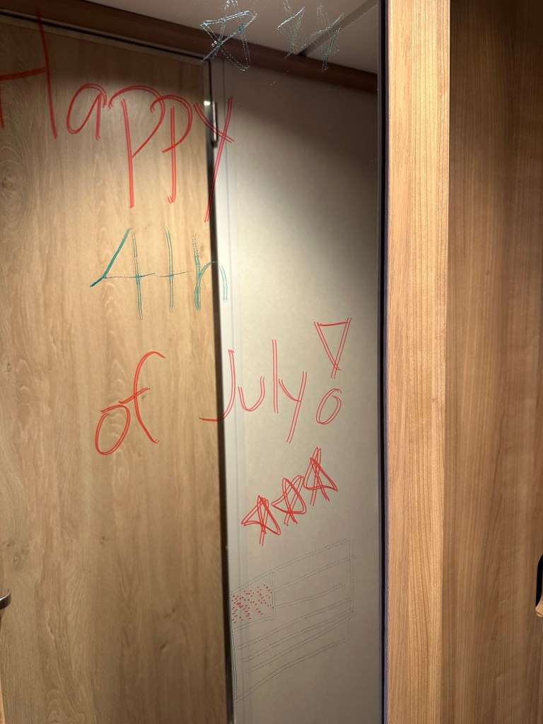
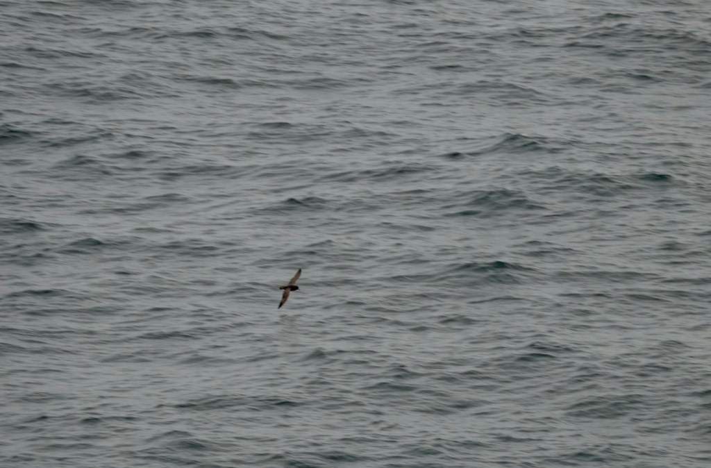
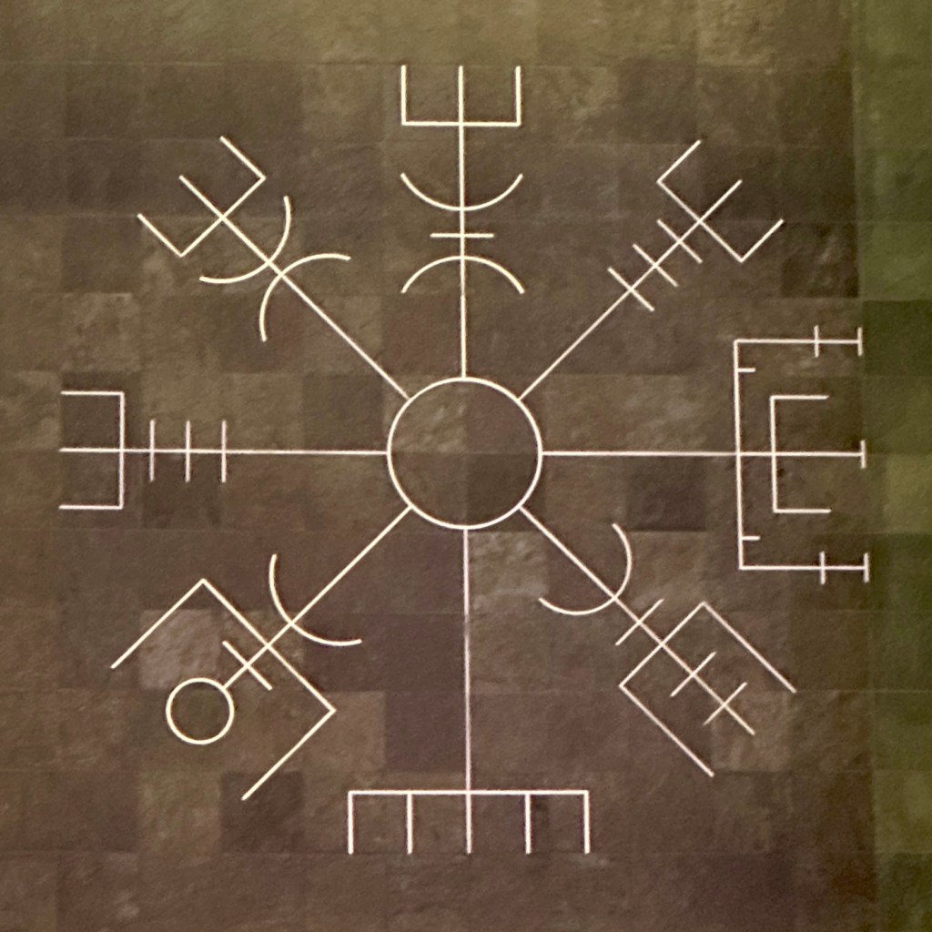
When we were at breakfast, the room steward left this on the mirror for us.Brown sea bird. We’ve seen lots of these. Vegisir, or Viking Compass. “Whoever carries this sign will never lose their way in storms or bad weather, even when the way is not known.”
This compass, made of stone from Norway, is on the floor of the fourth deck of the ship at the base of the atrium adjacent to the aft elevators, a comfort to us all.
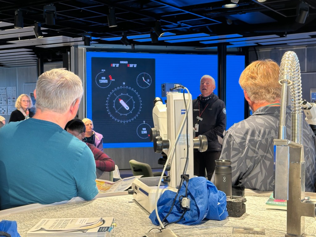
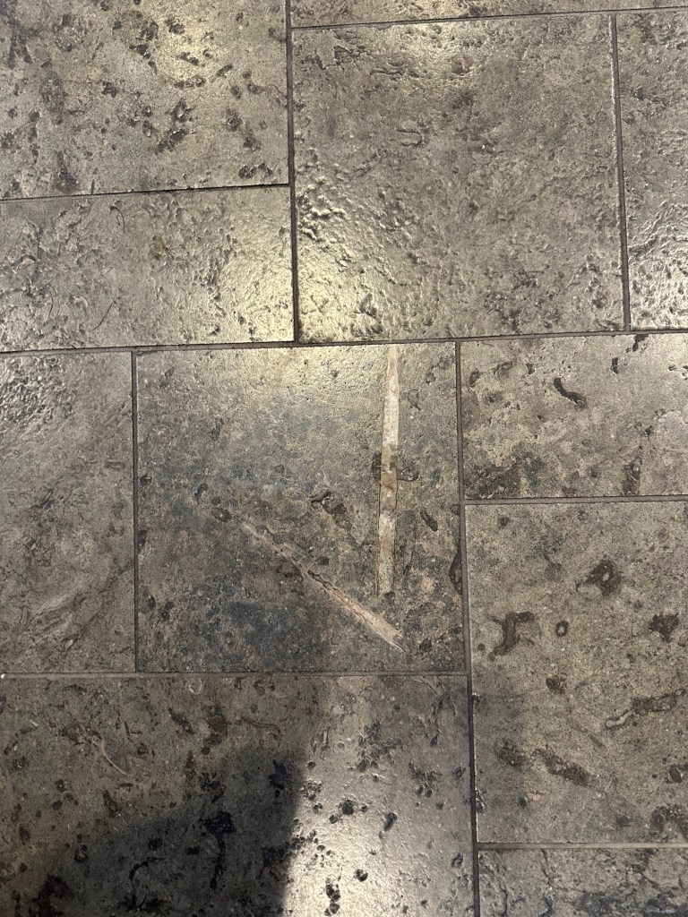
Since it’s a sea day, the crew have lots of presentations. The first one was about all the natural stone used on the ship. Somehow, this was also woven into an explanation of geologic time, using the vertical stairwell as an approximate scale for time. For example, deck 3 was Precambrian. So were decks 4-6. Deck 7, the Cambrian, was the first sign of complex life. The speaker got into all the major extinctions, and overall was entertaining.
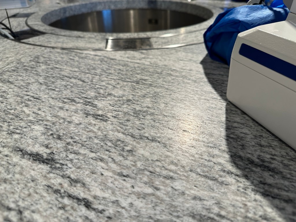
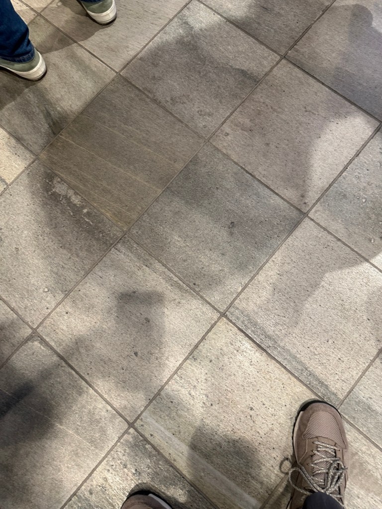
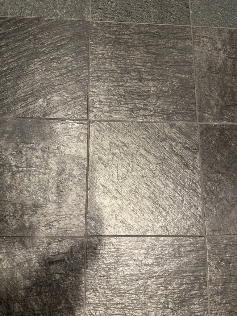
What we enjoyed was the identification of the stones used on various surfaces.
Science center with David talking about rocksGranite on the science tables“Dirty” marble floor tiles at receptionPhyllite floor tiles in many areasLimey shale with belemnite fossils on deck ten outside the Explorer Lounge
Of course we had already noticed the natural looking floors; we asked an officer about it. He confirmed the tiles were natural but didn’t know the name of the rock type in English.
We watched a lecture about sea otters and nuclear bomb testing in the Aleutian Islands in the 1950s. Strange combination, but it made sense.
Then cake for all in the lounge on deck 10 to celebrate July 4th.
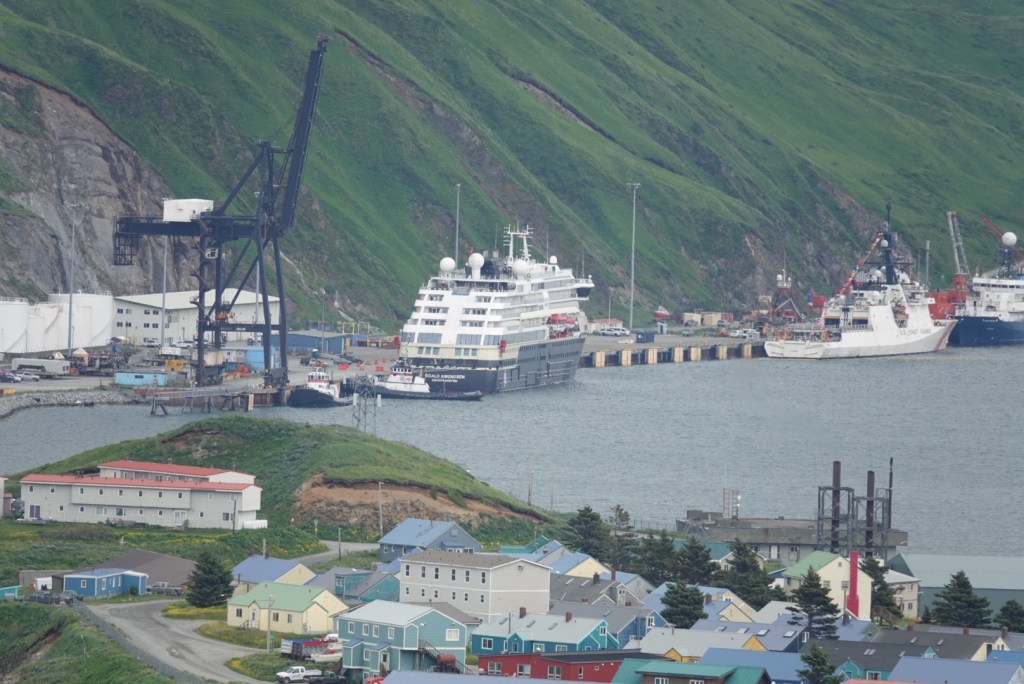
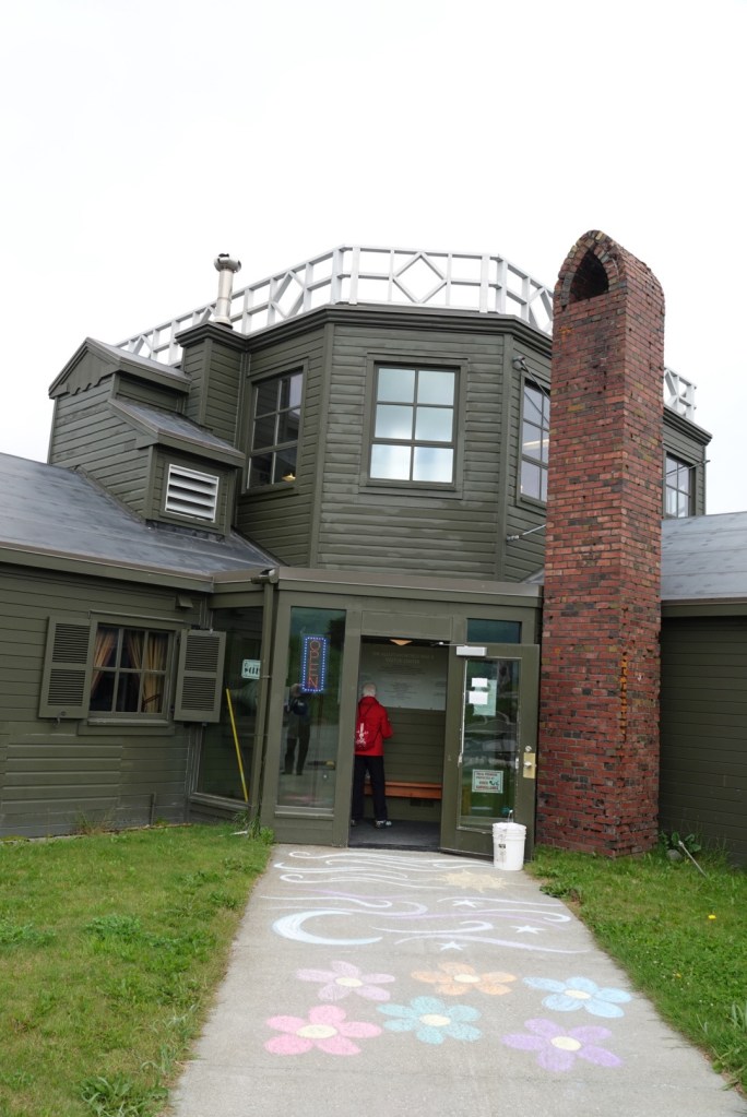
Last Aleutian Island of this trip as our ship now heads north into the Bering Sea. The ship pulled up to the dock in the area called Dutch Harbor, which is actually on Amaknak Island, allowing us to walk off on the gangplank rather than take a boat. It stayed docked until early evening. They set up a series of small buses to get people to particular points of interest, but honestly, most of the passengers could walk everywhere.
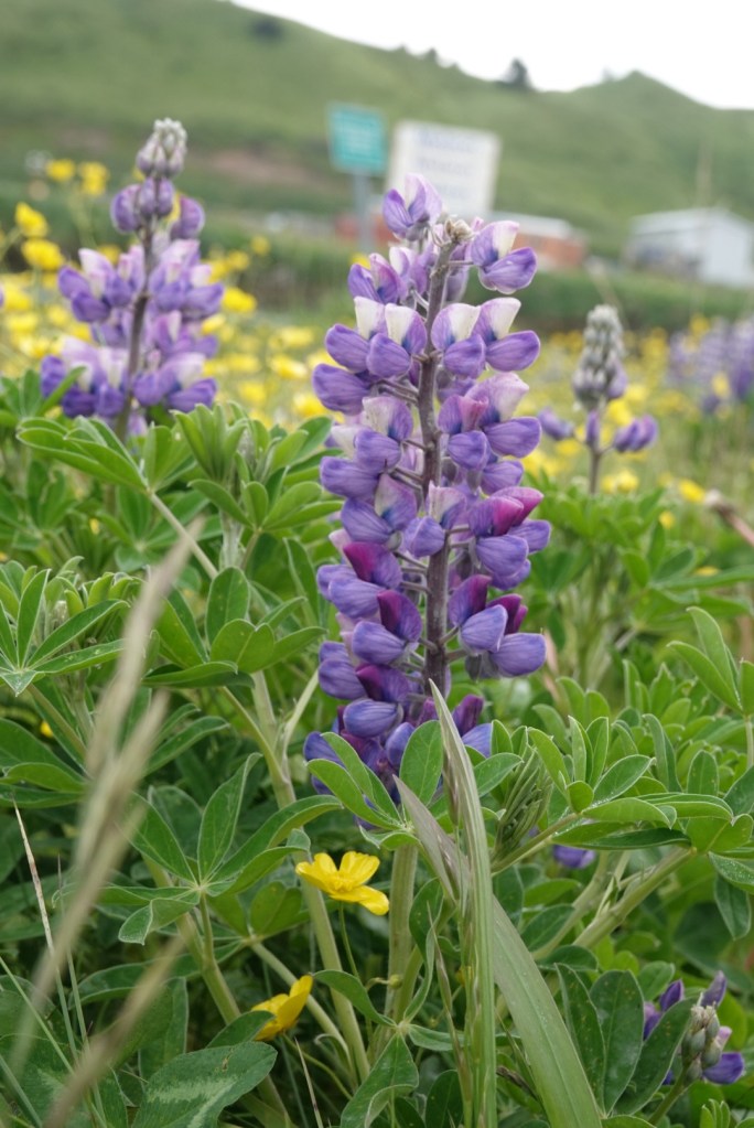
This island is different from others we’ve seen because it has no native trees. The few scraggly trees here were planted by the Russians when they occupied the area, beginning in the late eighteenth century. Lots of grasses and wildflowers are here, most dominant being lupines.
Both of us took a van to the Museum of the Aleutians where we learned about the native Unangan people, then to the WWII museum. Then we went back to the ship for lunch. In the afternoon, Brian left with a group to go on a hike while Clare went to a Russian Orthodox Church, then a library and finally the post office. We sent postcards to each of our moms, wanting the Unalaska postmark on the cards.
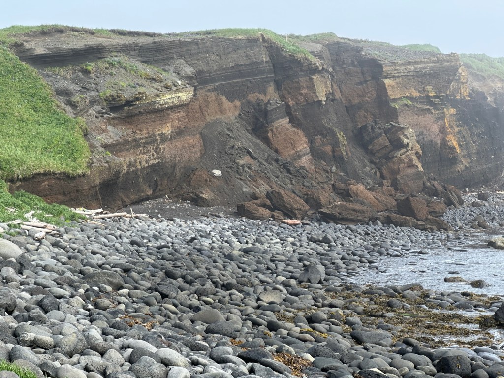
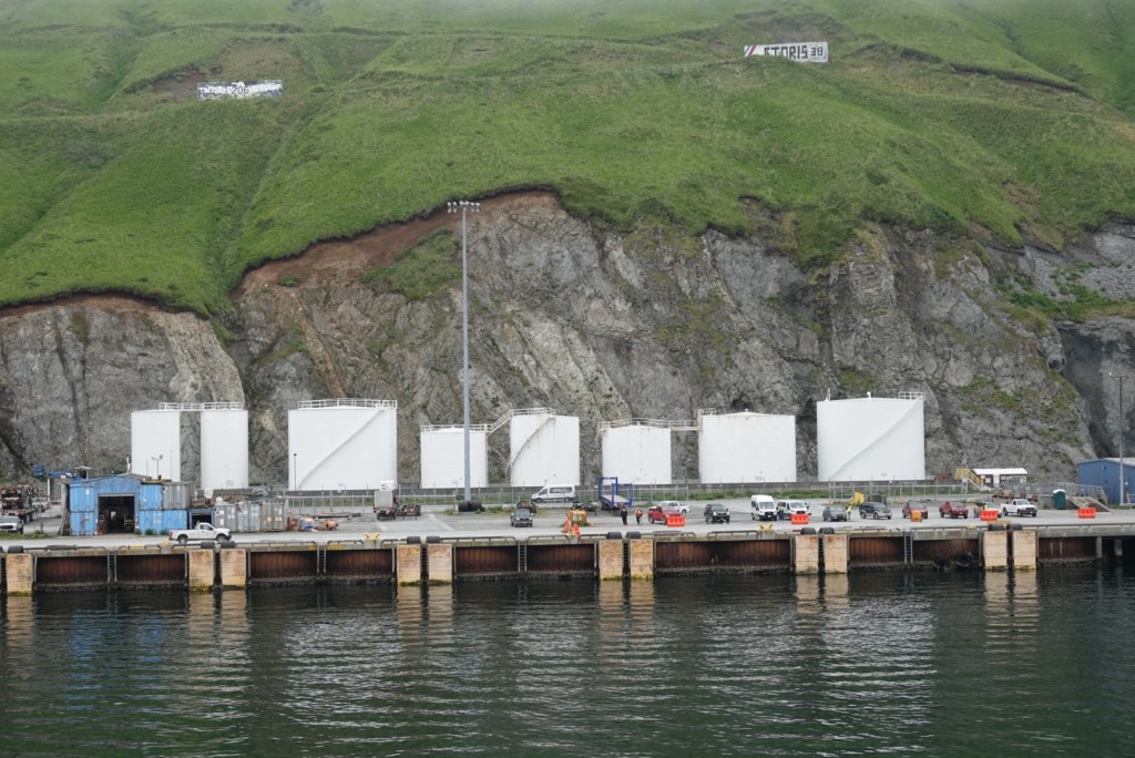
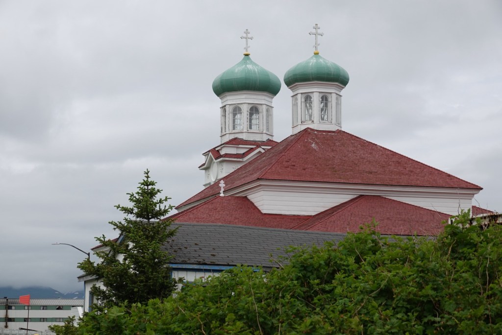
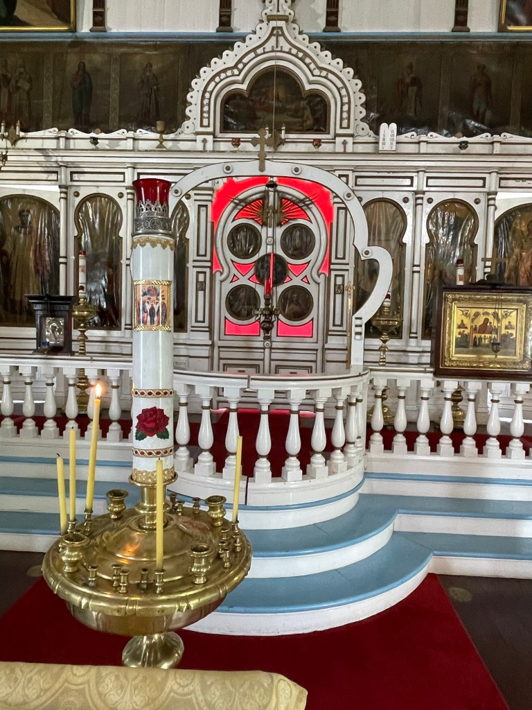
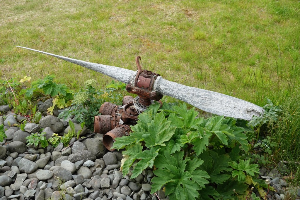
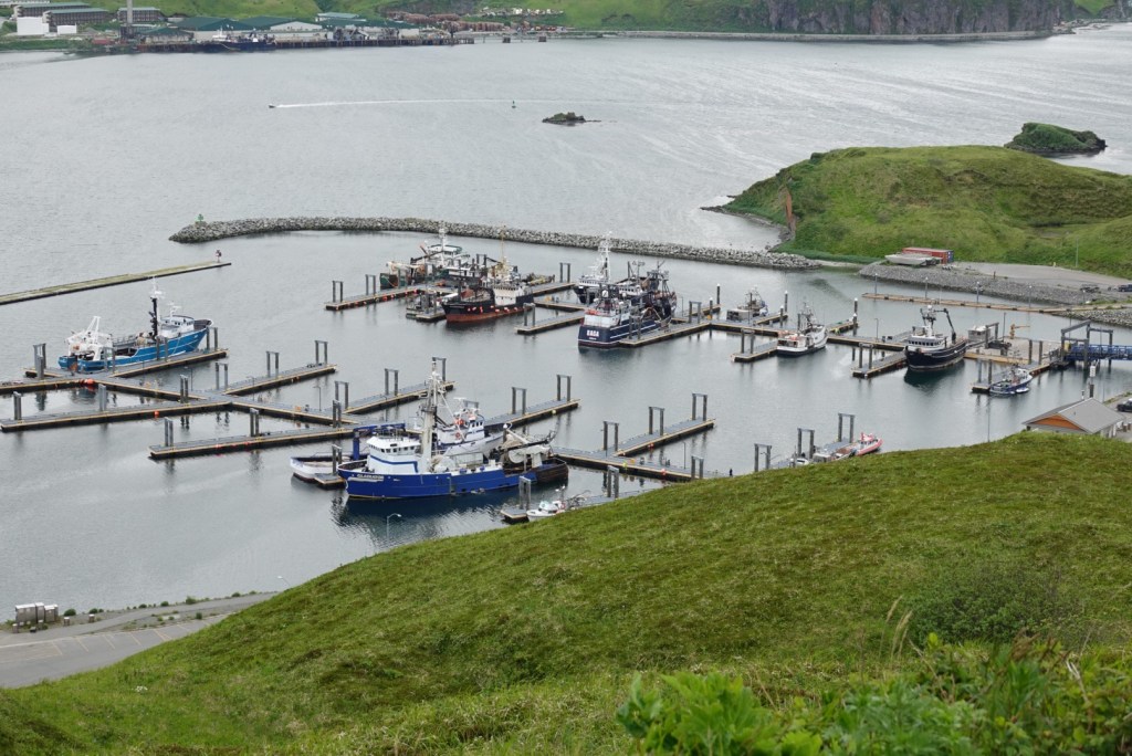
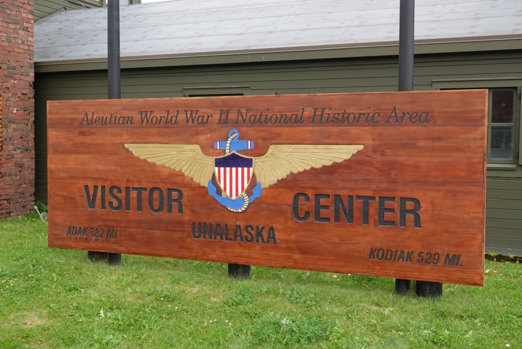
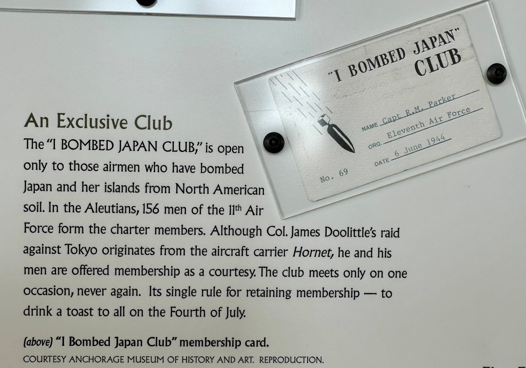
Our ship docked near a U.S. Coast Guard vessel.The cliff behind the tank farm exposed igneous dikes in the early Cenozoic Unga Formation.This bridge connects the town on Unalaska with the Dutch Harbor area.The Russian Orthodox Chuch dates from the early nineteenth century but has been rebuilt more than once.In the church Also in the churchAn old airplane engine outside the Museum of the AleutiansBoats in Captains Harbor were featured in the television show “Deadliest Catch.”The World War II Visitor Center is housed in the control tower building that was used during the war. Among the displays and old communications equipment was this explanation of the “I Bombed Japan Club.”
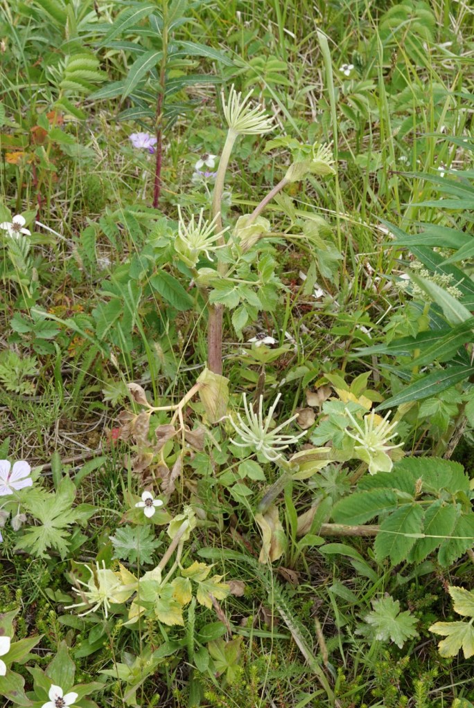
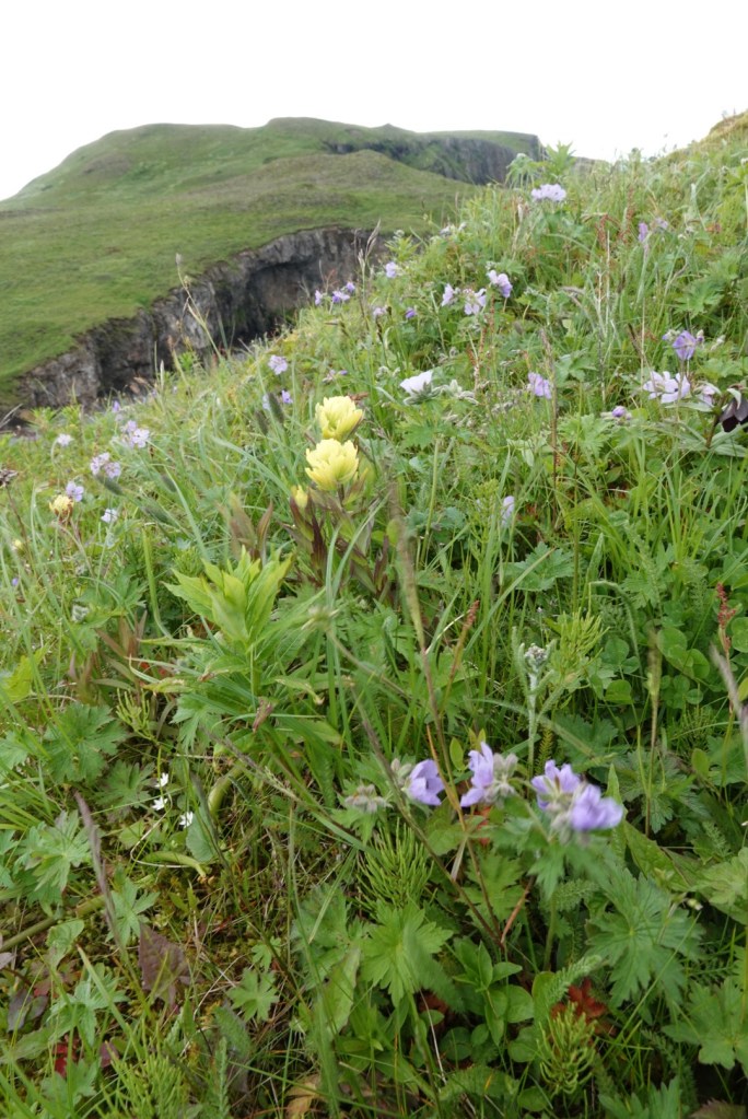
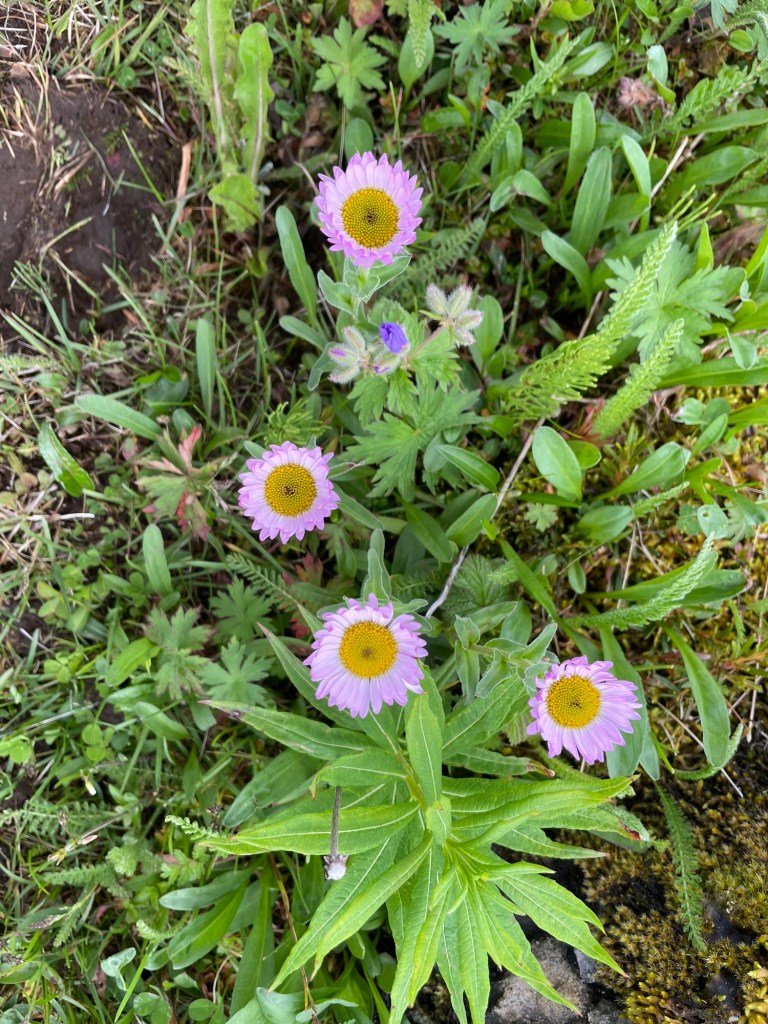
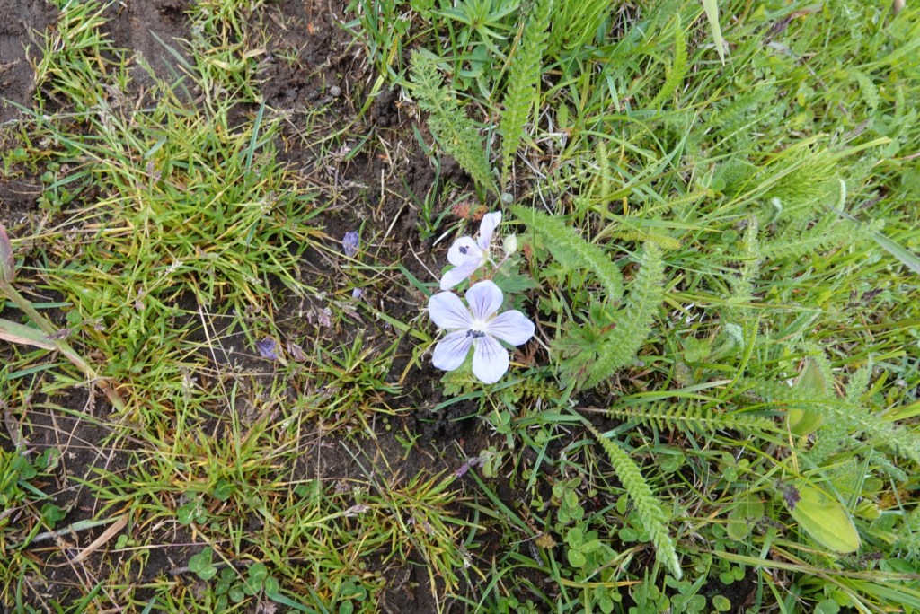
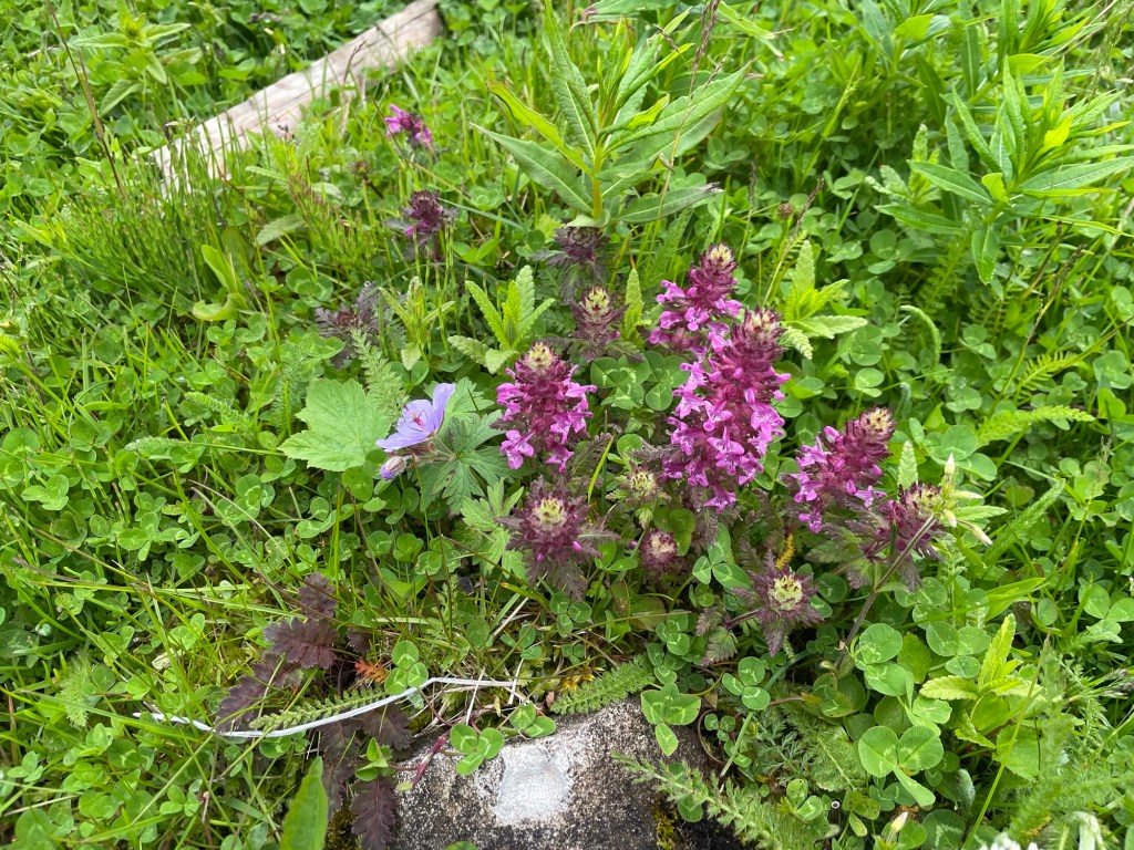
Like yesterday, we saw tons of wildflowers.
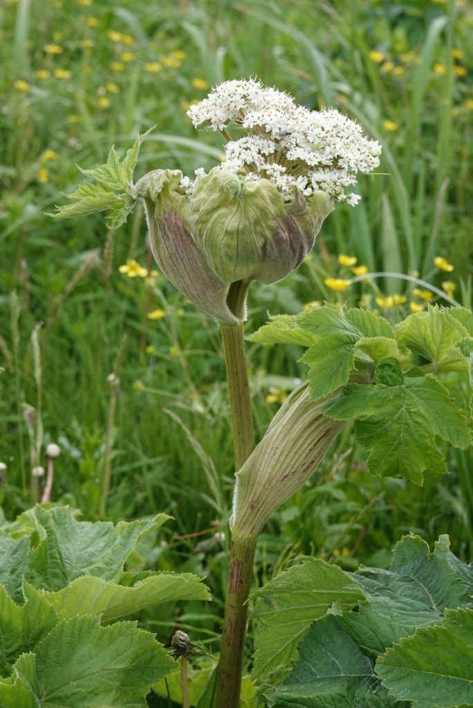
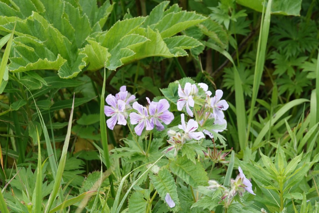
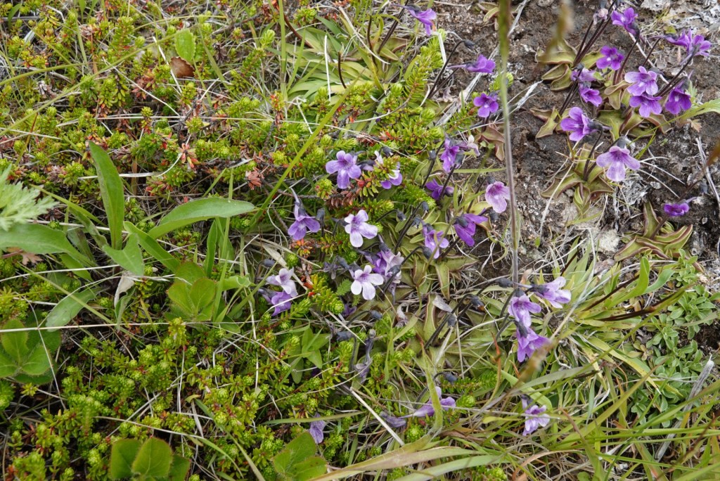
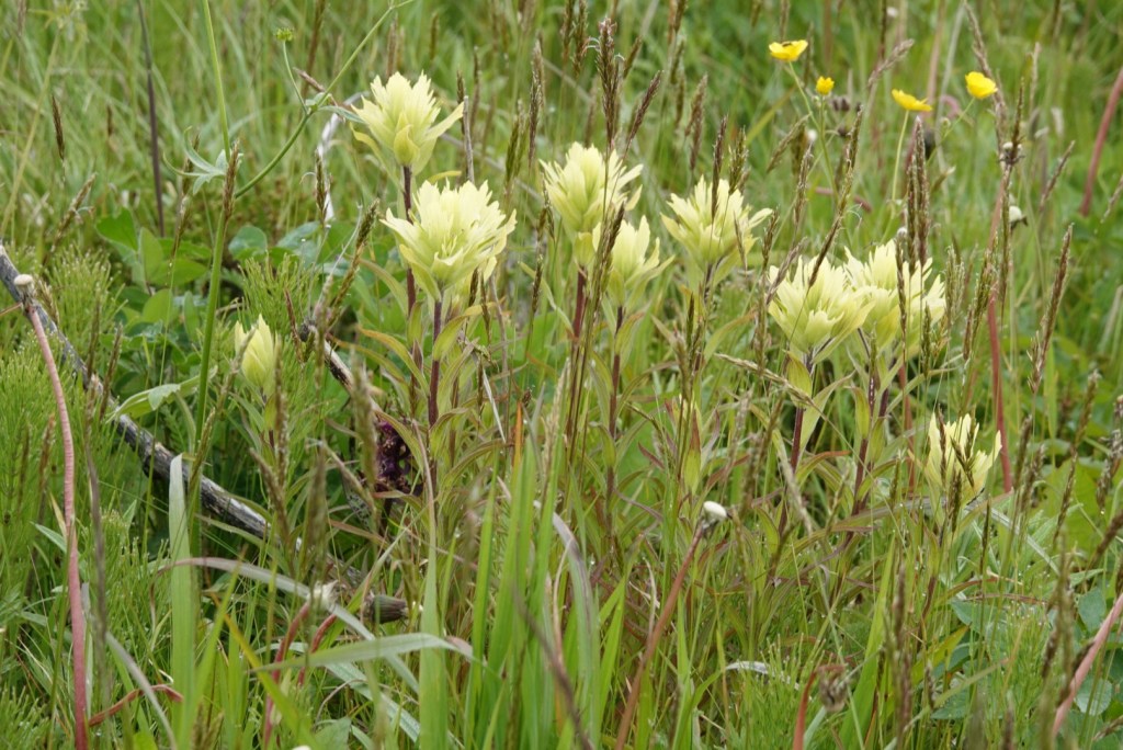
Wild celery, aka AngelicaLupine covered hillsides and fields Cow parsnip just starting to flowerGeraniumsBeanweed, a butterwortPaintbrush, lots of theseLapland cornel
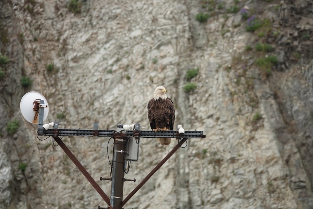
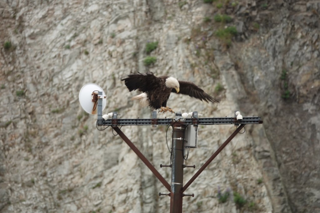
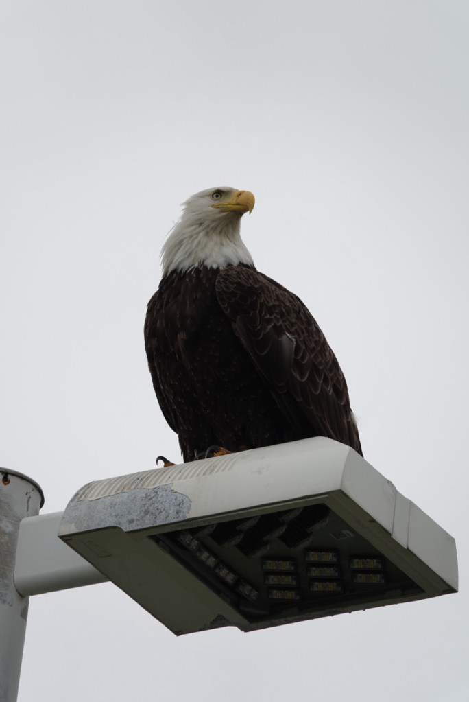
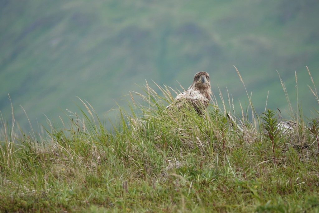
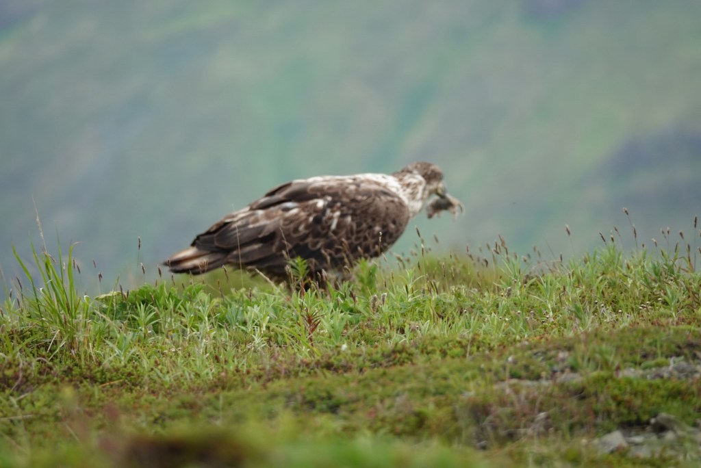
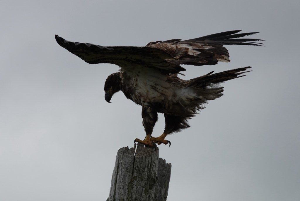
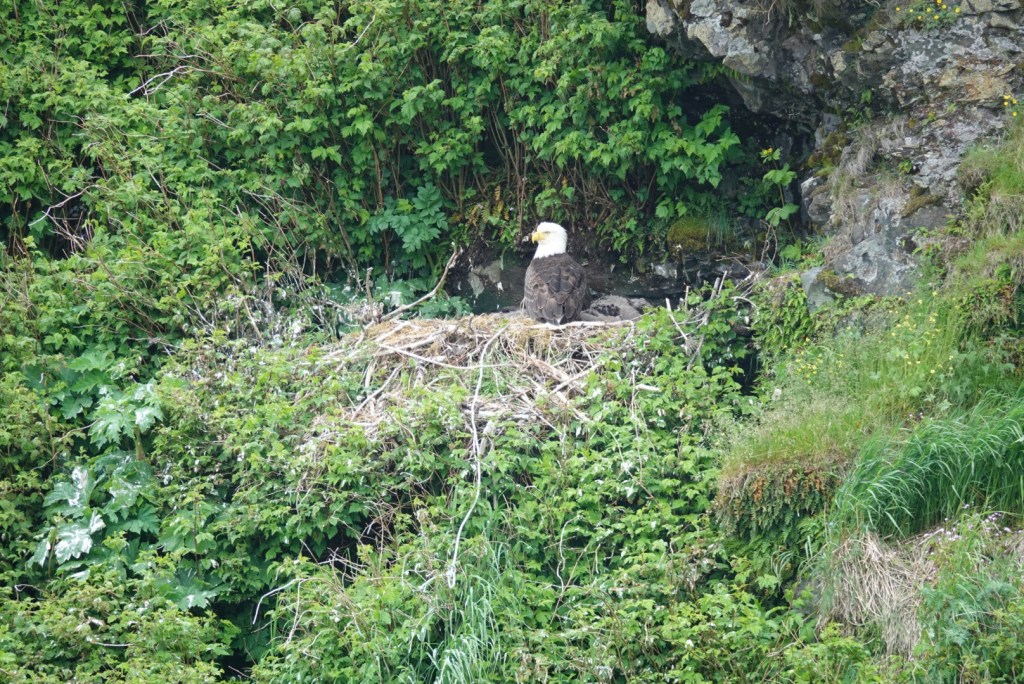
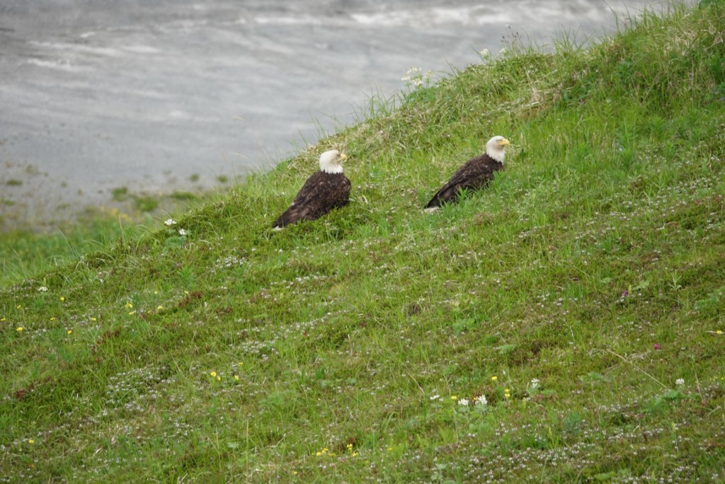
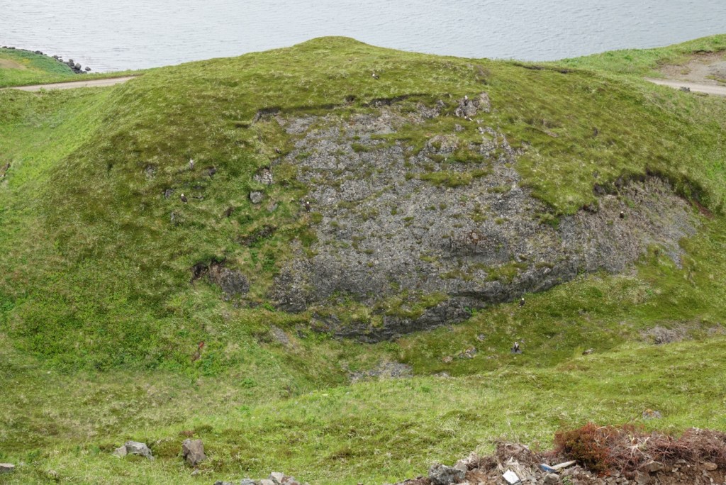
So many bald eagles! They were everywhere, posing for our cameras. The ship photographer found several nests with his telephoto lens.
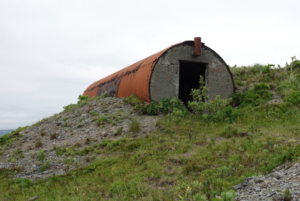
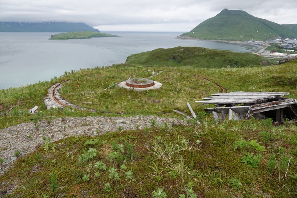
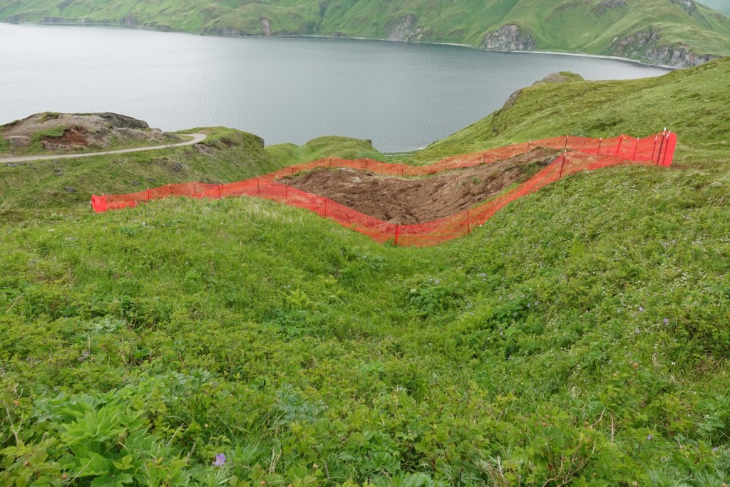
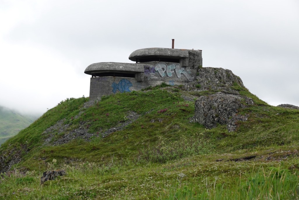
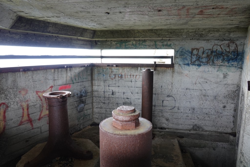
Bald Eagle greeted our ship.Eagle on top of lightJuvenile eagleCaught a mouseSpreading wingsEagle on nest in a hole in the cliff near the churchEagles on hill overlooking a fish processing plantEight eagles on a hill. Can you find them all?Bunker for storage of ammunitionGun emplacement Fence surrounds excavation of oil-contaminated soil being removed.Command bunker at the top of Bunker Hill Inside the command bunker are mounts for optical equipment that was used to spot the enemy.
Today, Unalaska is an important place for processing fish. We were told that McDonalds Filet-o-Fish patties are made here from Pollock, but the main product is processed fish used for making Surimi, or fake crab meat. Also, fish oil for nutritional supplements is processed here.
The pitch and yaw of the cruise ship was noticeable during the night, but the air was clear and the sky partly cloudy in the morning. It was getting more challenging to walk in a straight line, which led to many giggles. Our excursion left at about 9, so we ate a quick breakfast to have time to get ready.
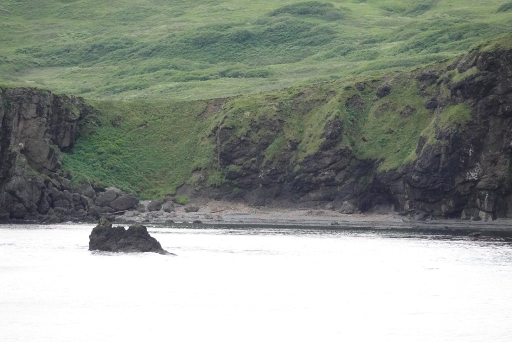
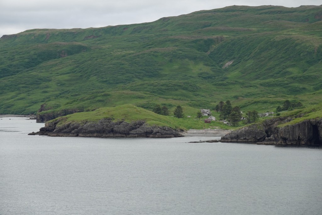
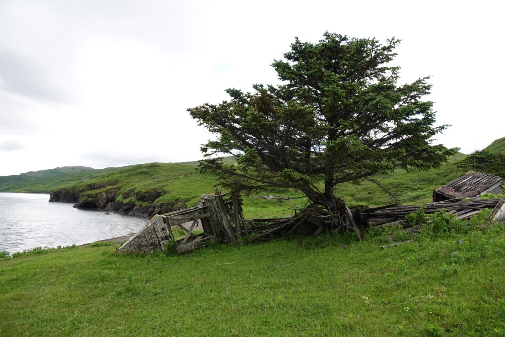
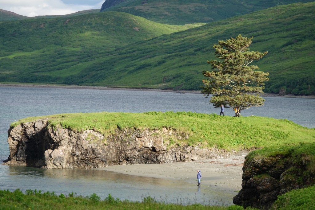
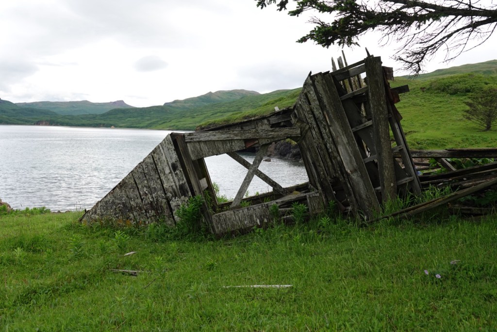
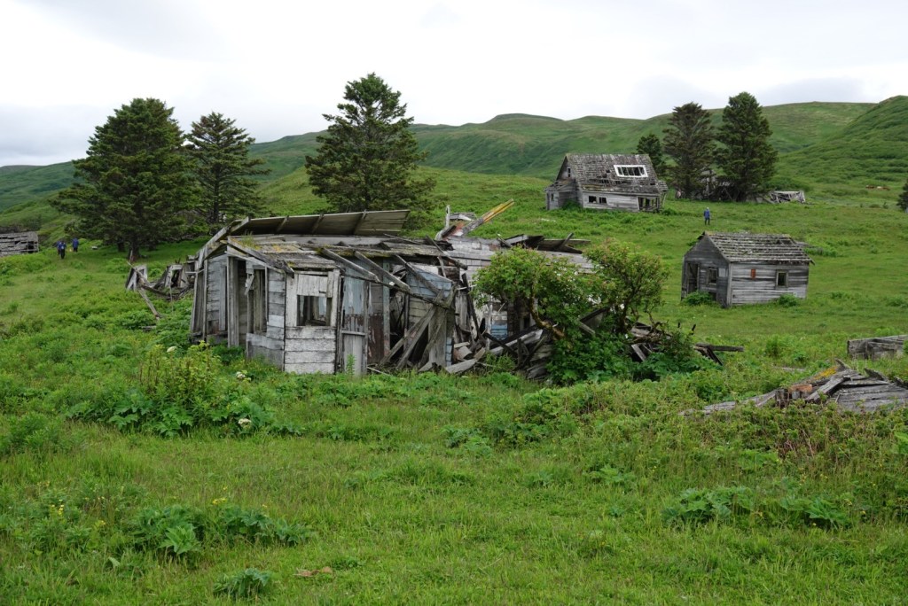
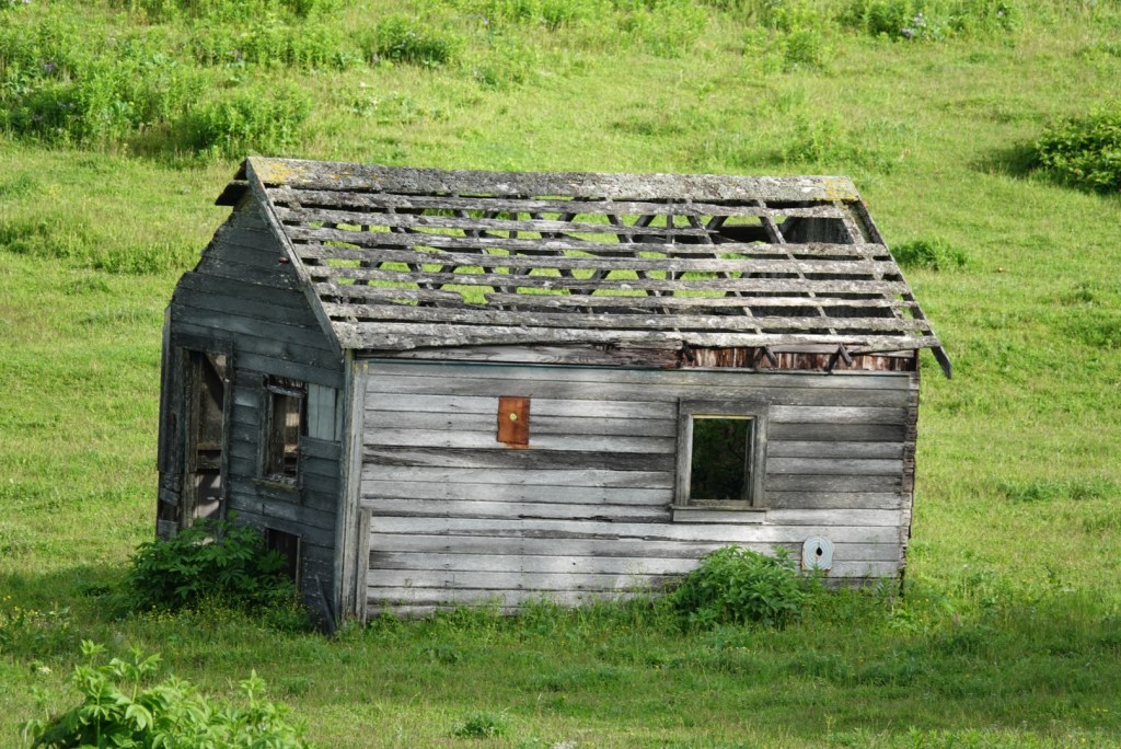
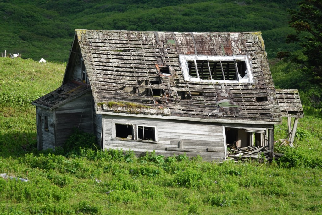
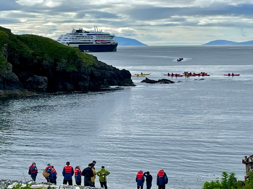
Startling sunshine! Brilliant green plants all around the bay; we were headed for an abandoned village.
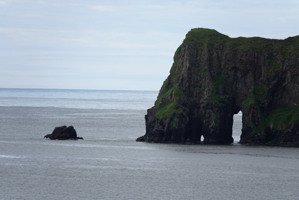
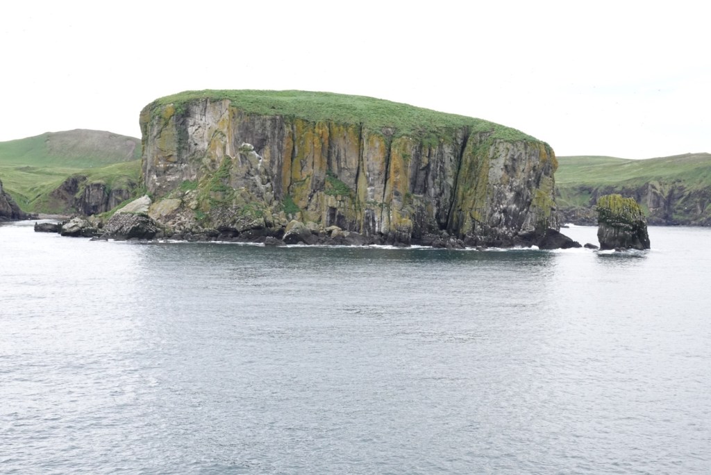
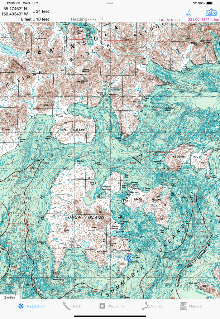
ArchLots of birdsBay where we were headedLanding beach and ghost townViews from the ship before we landedMap showing Unga Island, with the ship’s location Unga Village, where we spent two hours
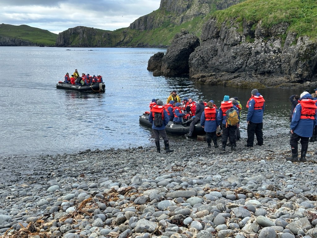
We landed the Zodiacs on the beach and learned how to get out safely. Easier than we thought; these guides are helpful! Our heavy boots allowed us to walk into the water up to a foot deep. Walking up the cobblestones on the beach was a challenge, however.
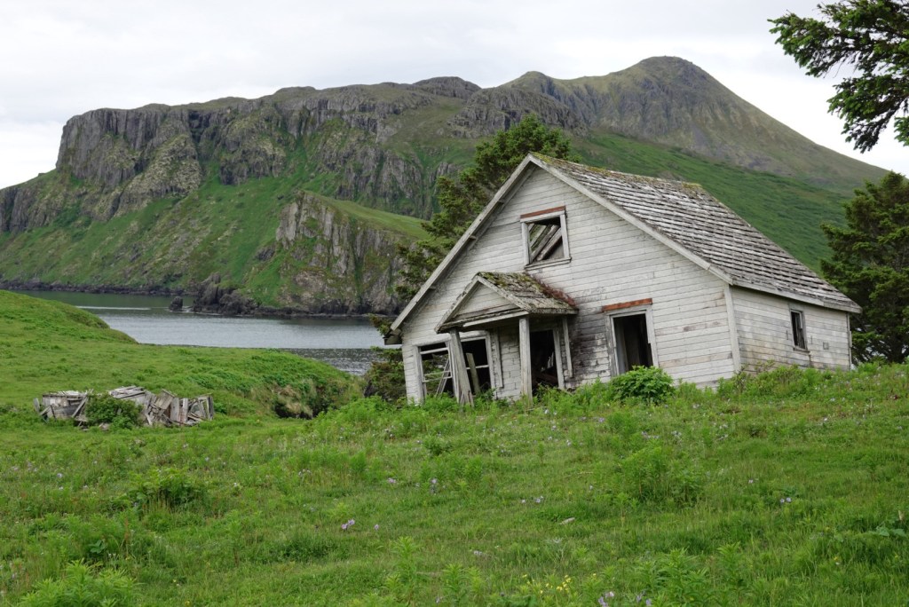
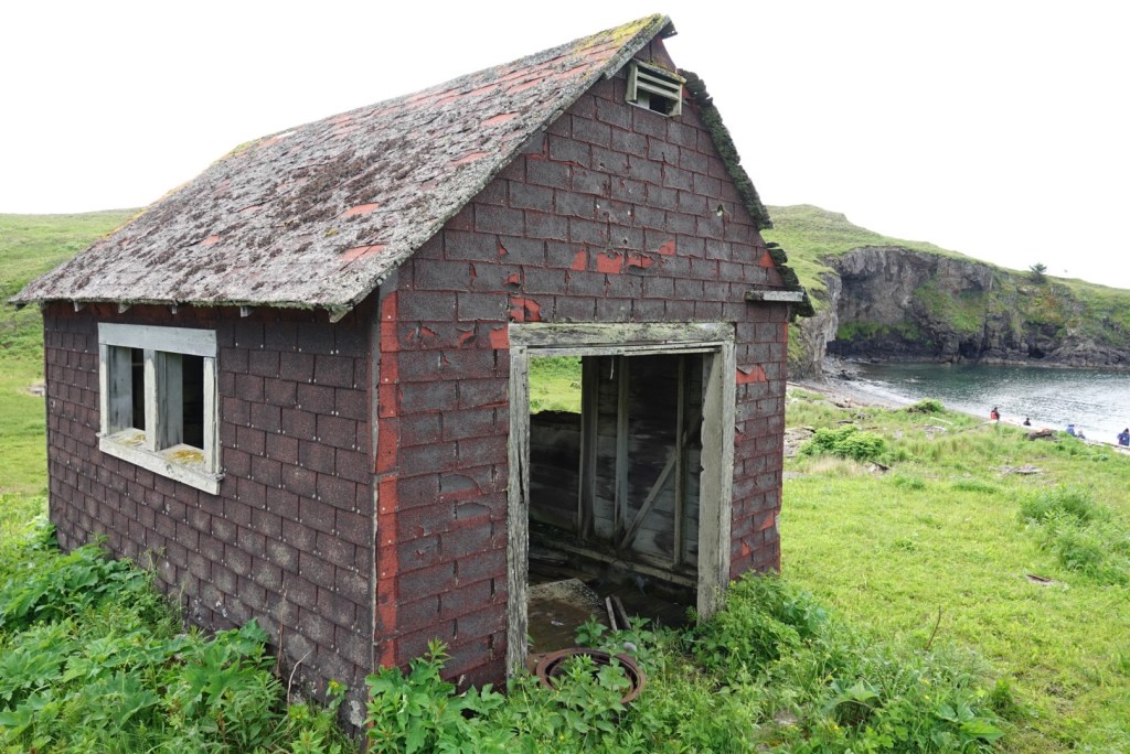
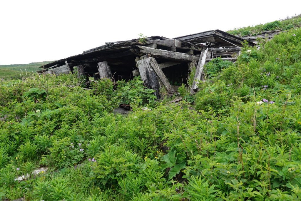
We left our life jackets in a bin on the beach, and Clare grabbed some walking poles (small, medium or large). We explored the abandoned village and the plants that surrounded it.
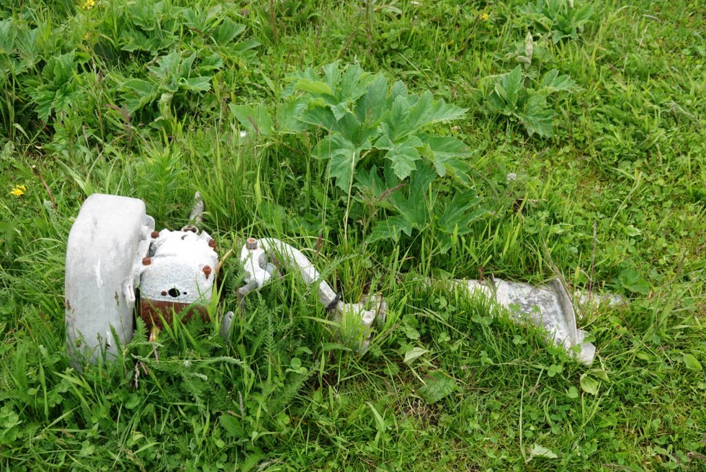
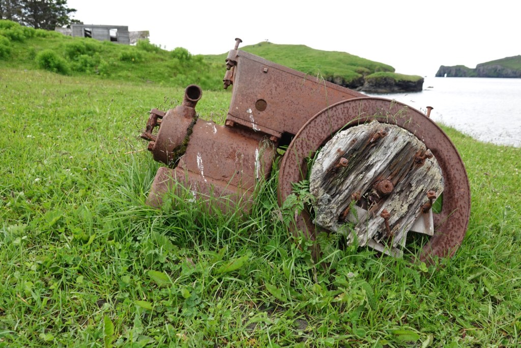
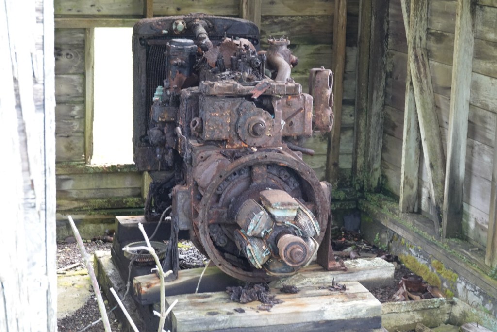
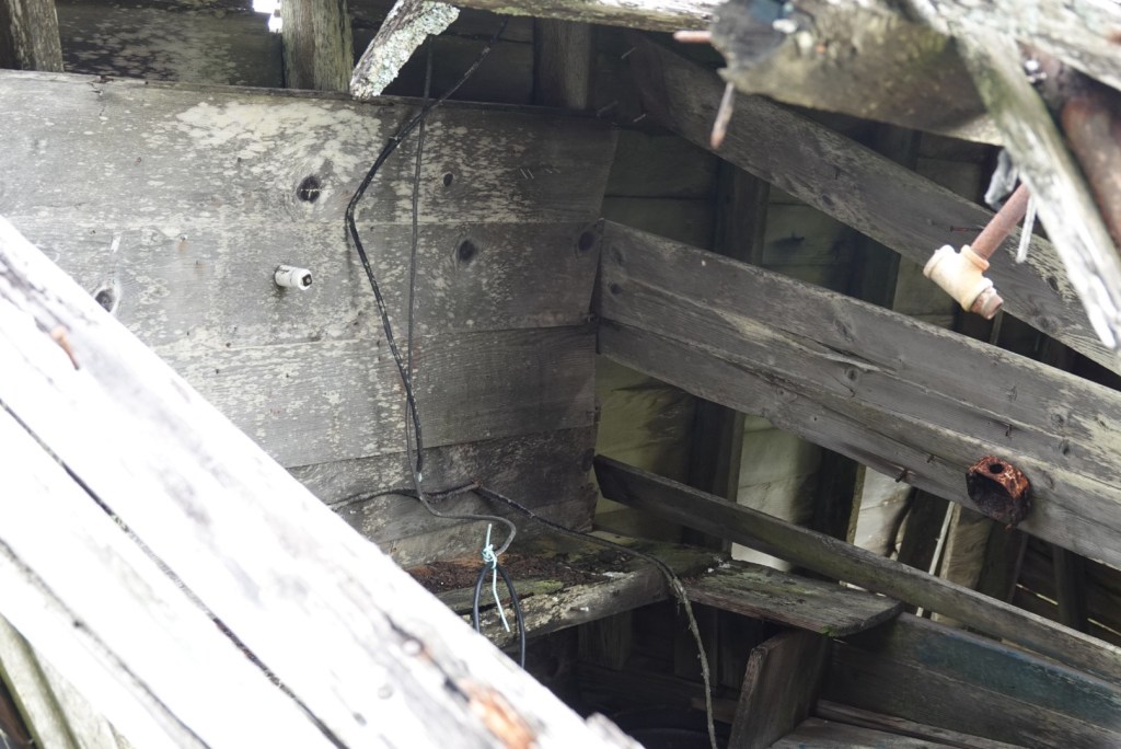
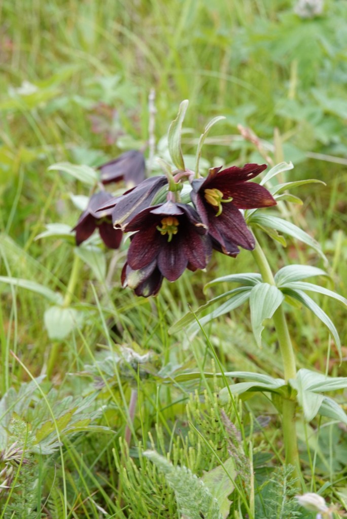
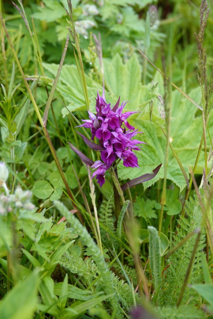
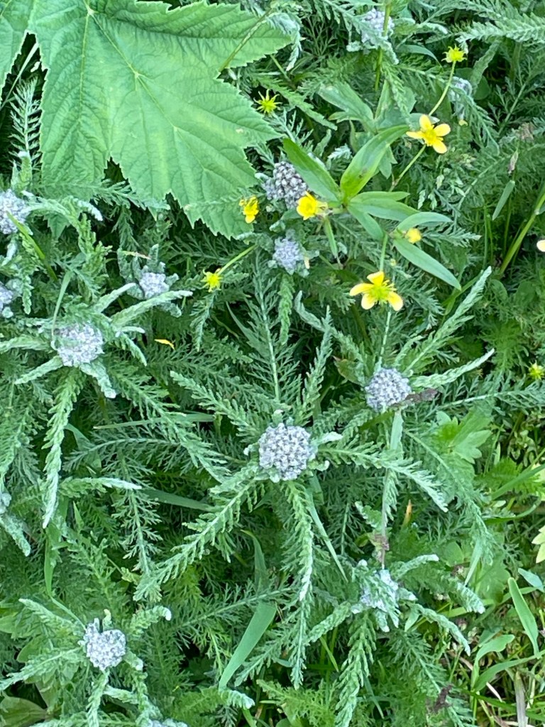
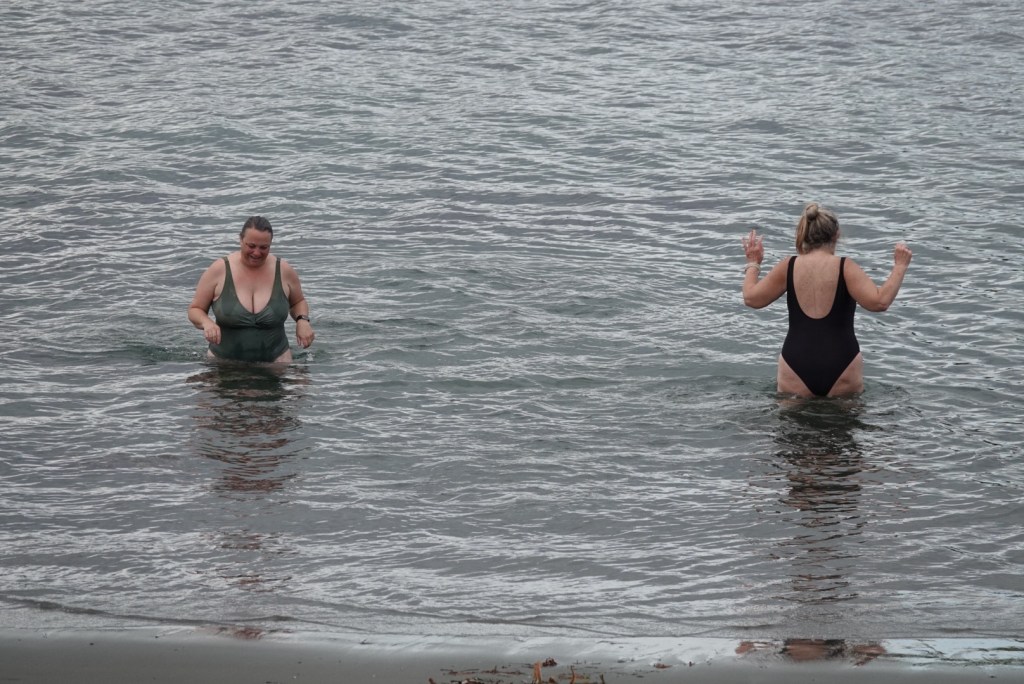
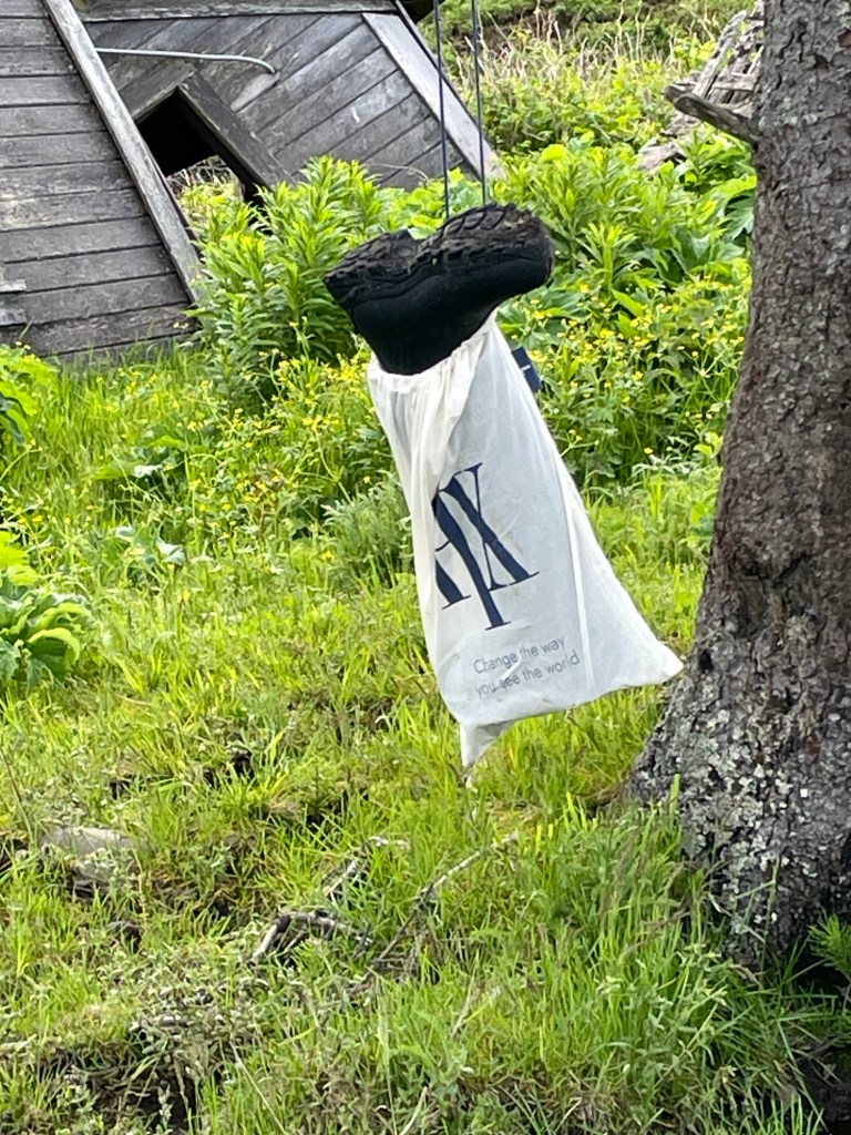
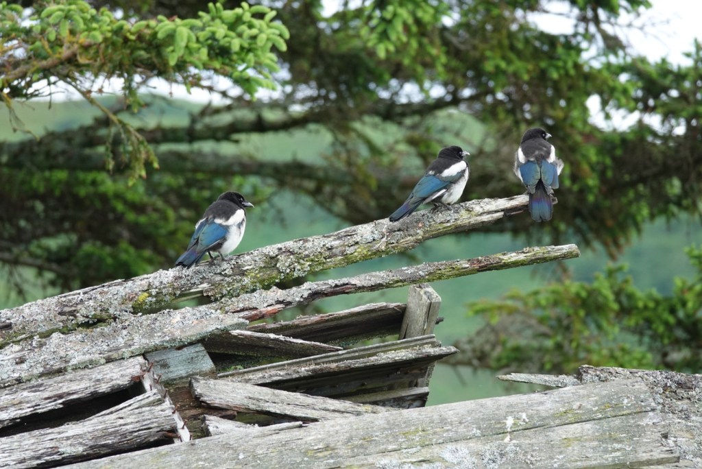
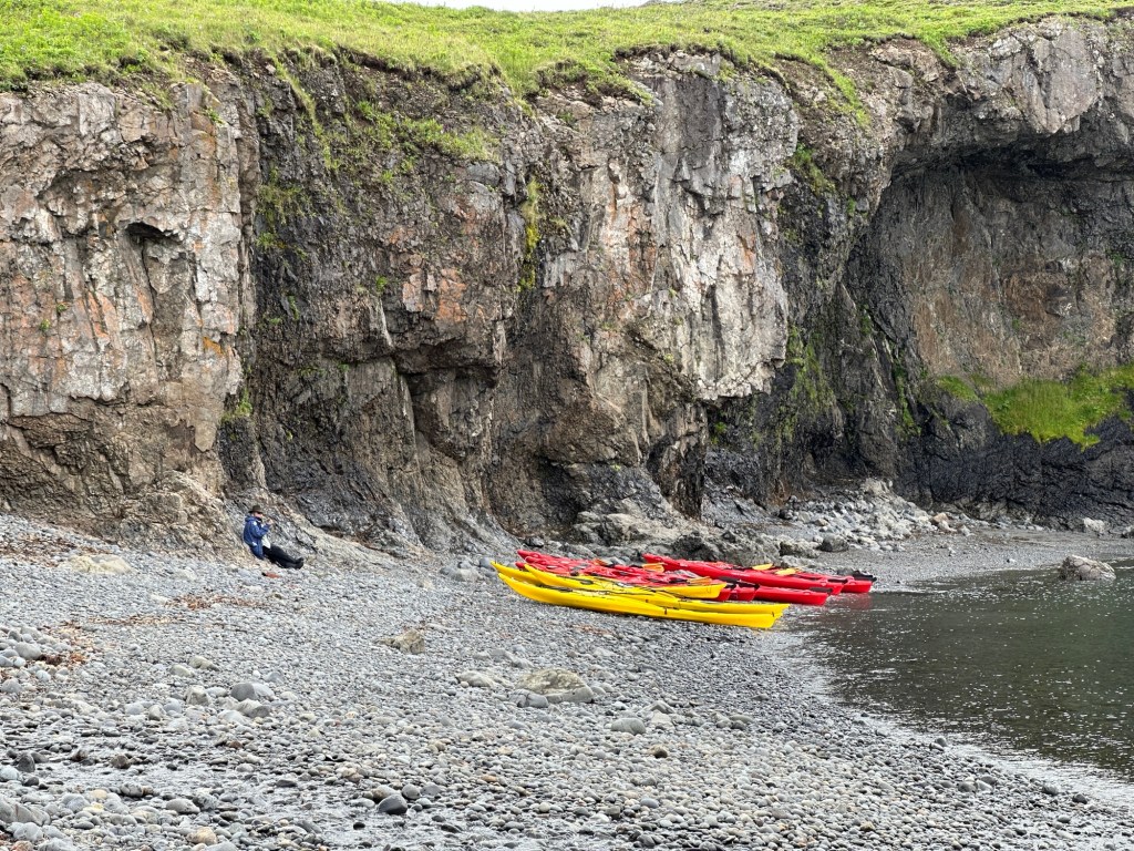
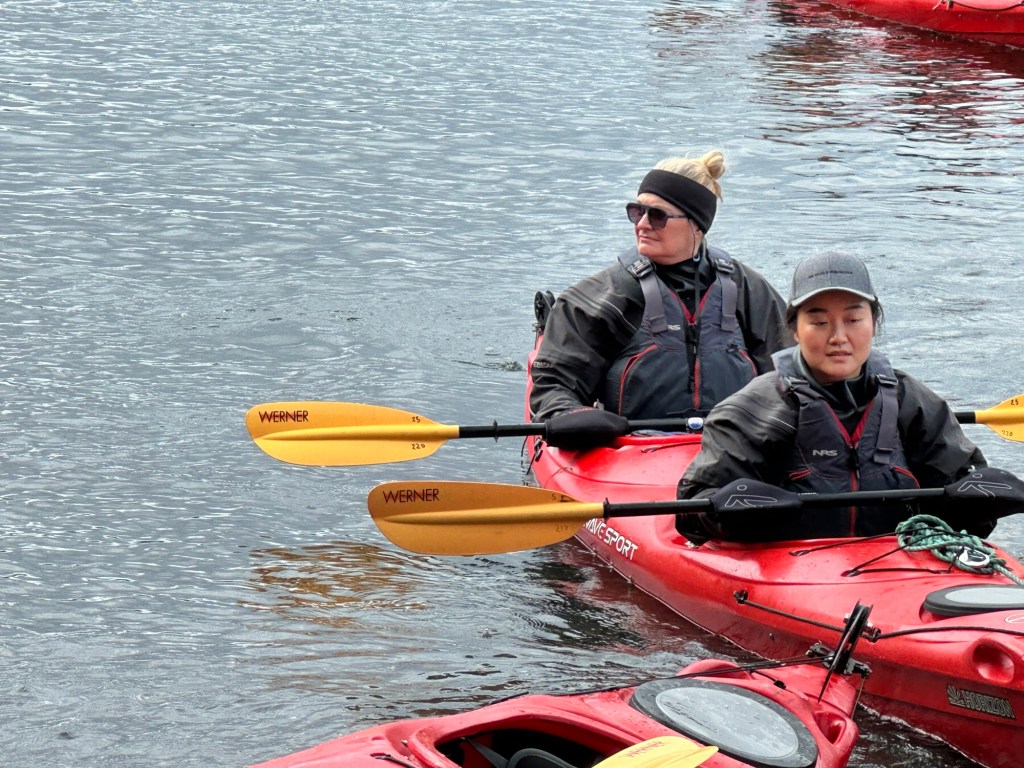
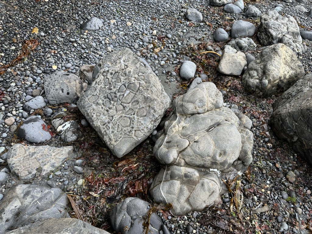
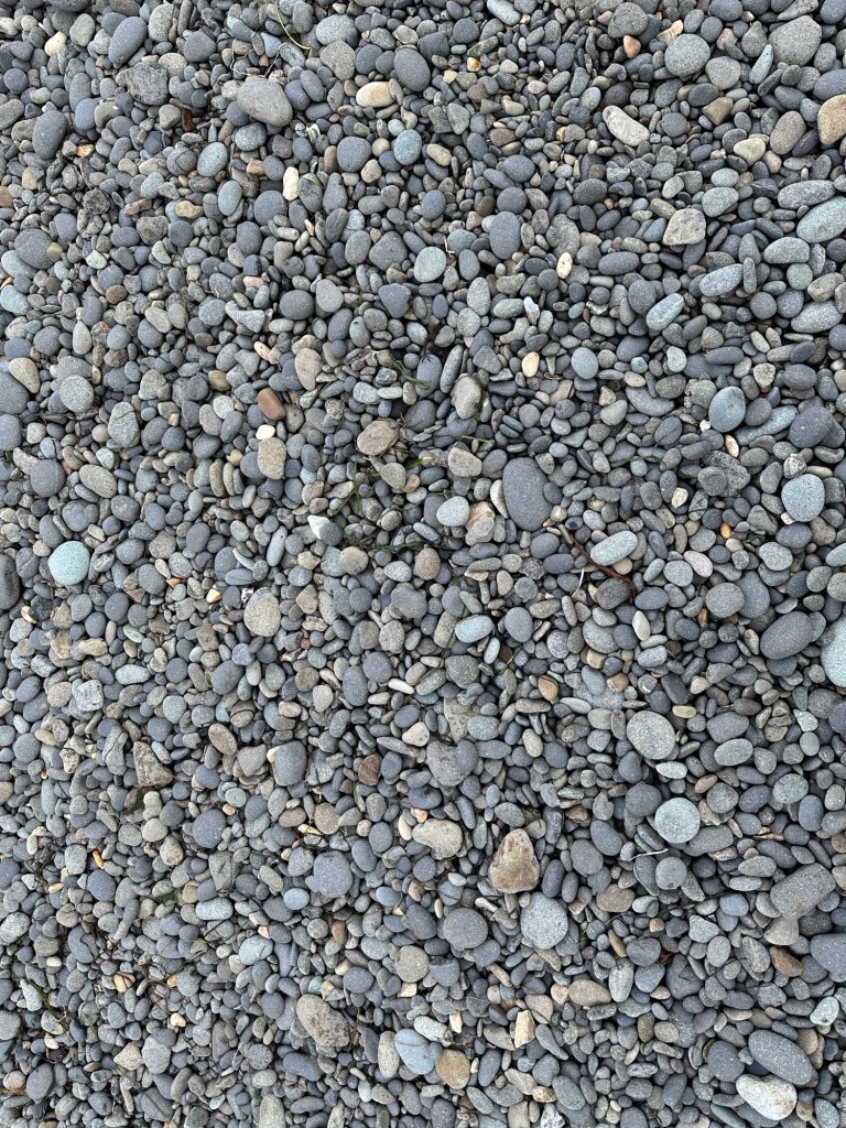
Church cupola?Building close to beach contained a generator.Outboard motorGeneratorKnob and tube wiring and plumbing in collapsed buildingChocolate lilyOrchidPaintbrush Bugleweed ?Paintbrush, geraniums Yarrow?Leaves changing colorFleabaneGeraniumBugleweed?, berry, geraniumBeach, ship, and kayaksTwo women doing the Arctic plunge!One passenger really didn’t want to wear the mud boots while hikingMagpies here are smaller and more colorful than the ones back home, but they make the same noise.Kayakers landed when we were about to leaveJune, the one in front, partnered with Brian on a prior kakak tripBoulders on the beach included conglomeratePlants growing on the cliff above the beachBeach cobblesSmall outcrop of what appears to be conglomerate is apparently mapped as early Cenozoic volcaniclastic rock.
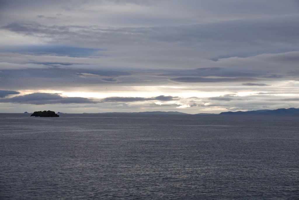
After our wonderful excursion, we were relaxing in the lounge on Deck ten when whale sign was seen! The first was an entire tail of what was identified as a humpback. Then blow after blow of whales passing by.