This morning we woke to blue skies, the first we’d seen since boarding the cruise ship. Of course it’s a sea day.
I felt ignorant about Alaska before we arrived. Even though I saw the multitude of islands on the map, I didn’t understand. The islands control the culture, in a weird way similar to our visit to Sweden. But here, unlike Sweden, the islands are steep-sided, not easy to land in many places.
Geologically, Alaska consists of tectonic terrains, smashed together over millions of years to form the mountains and other landscapes. When we visited Wrangell, we remembered that one of these terrains is called Wrangellia! Fun fact!
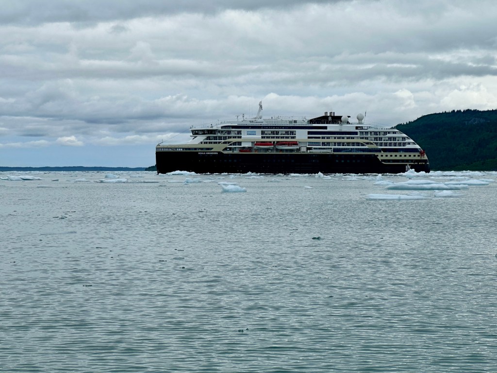
The undefined Inside Passage had been an easy oceanic experience, smooth as can be. Crossing the Gulf of Alaska has more waves, but is also fairly smooth.
The excursions are well organized. The guests, as we are called, are collected into named groups, the mighty whale, majestic eagle, sleek seal. We are in the group of cute, mischievous sea otters. I feel right at home!
On deck six, one below our cabin, are the active rooms including art and science. In the art lab on our first day, Clare painted our water bottles to distinguish them. This helped when she left it somewhere but got the right one back.
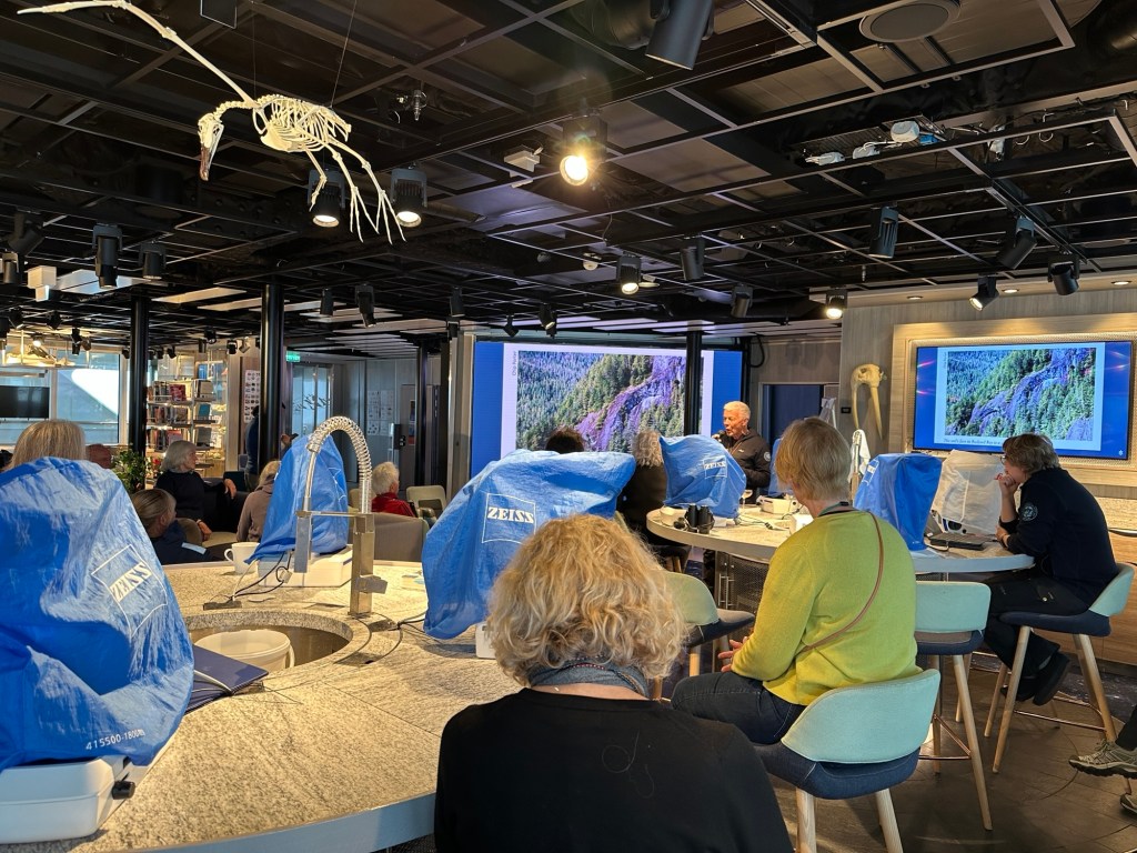
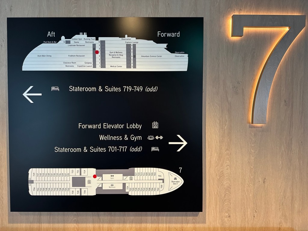
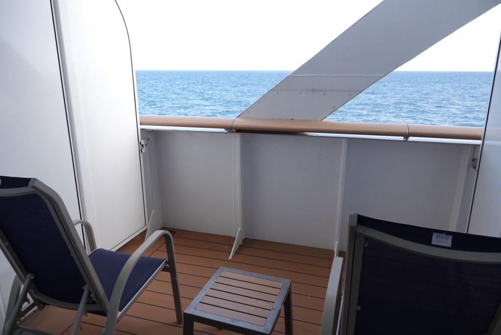
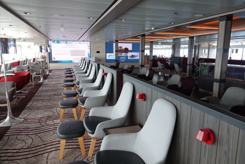
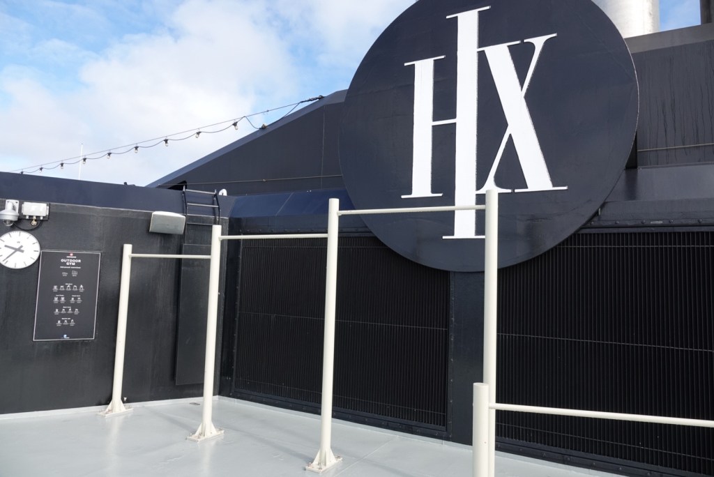
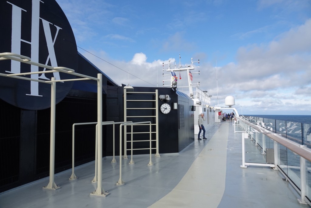
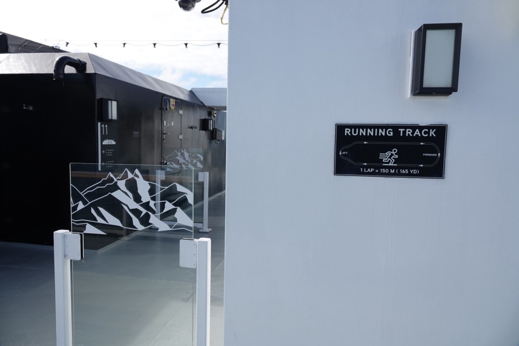
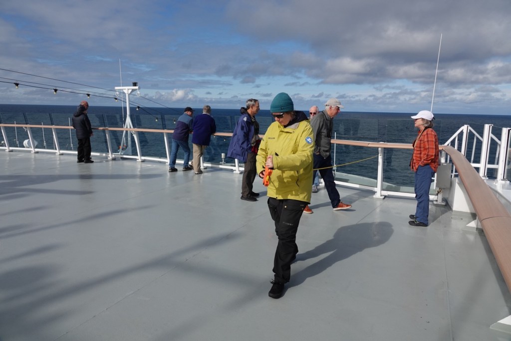
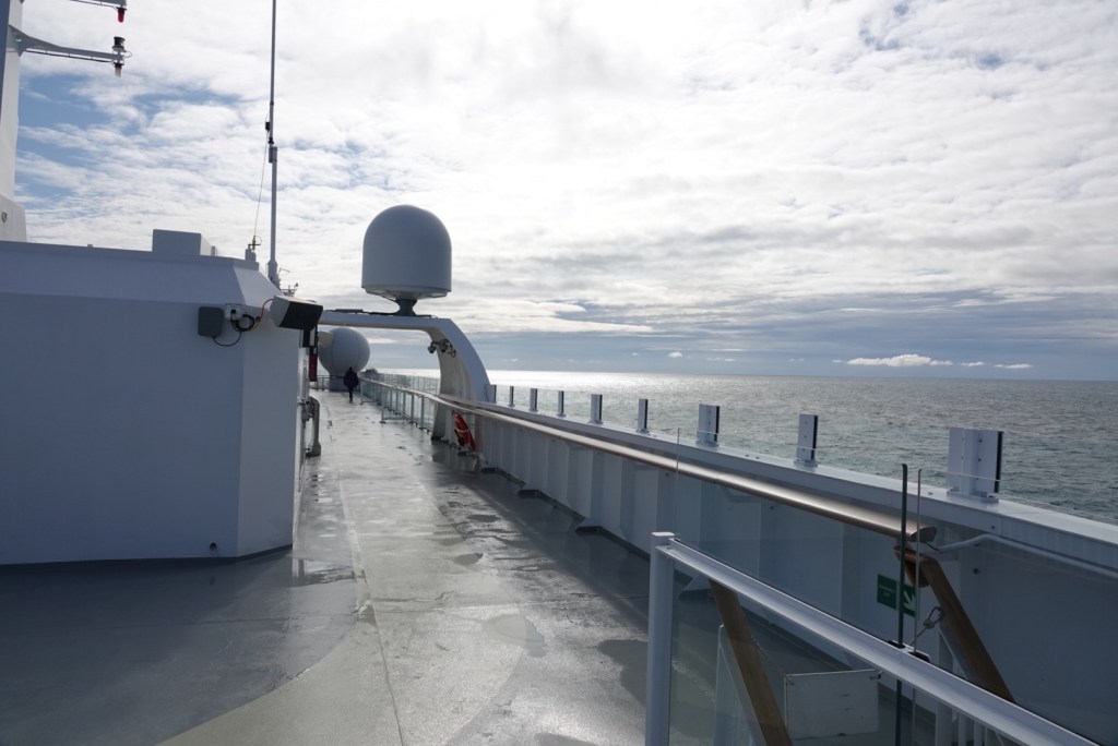
The Science Center has libraries, maps, and various equipment and specimens. Some presentations are given here, but most lectures are given in the Lecture Hall just beyond the Science Center; these presentations can be streamed to the TV screens in the cabins.At the main stairwell, signs show layouts of each deck.Our cabin with an outdoor balcony is on Deck 7.The Explorer Lounge on Deck 10 is also used for presentations; the bar is open almost all day and night.Exercise station on Deck 11; there is also a gym on Deck 7.Another exercise station and the running track.Diagram of running track.Crew member using tape to show the sizes of various marine mammals, which were guessed at by knowledgeable passengers.Nice sunny day going west across the Gulf of Alaska
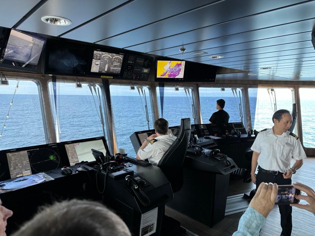
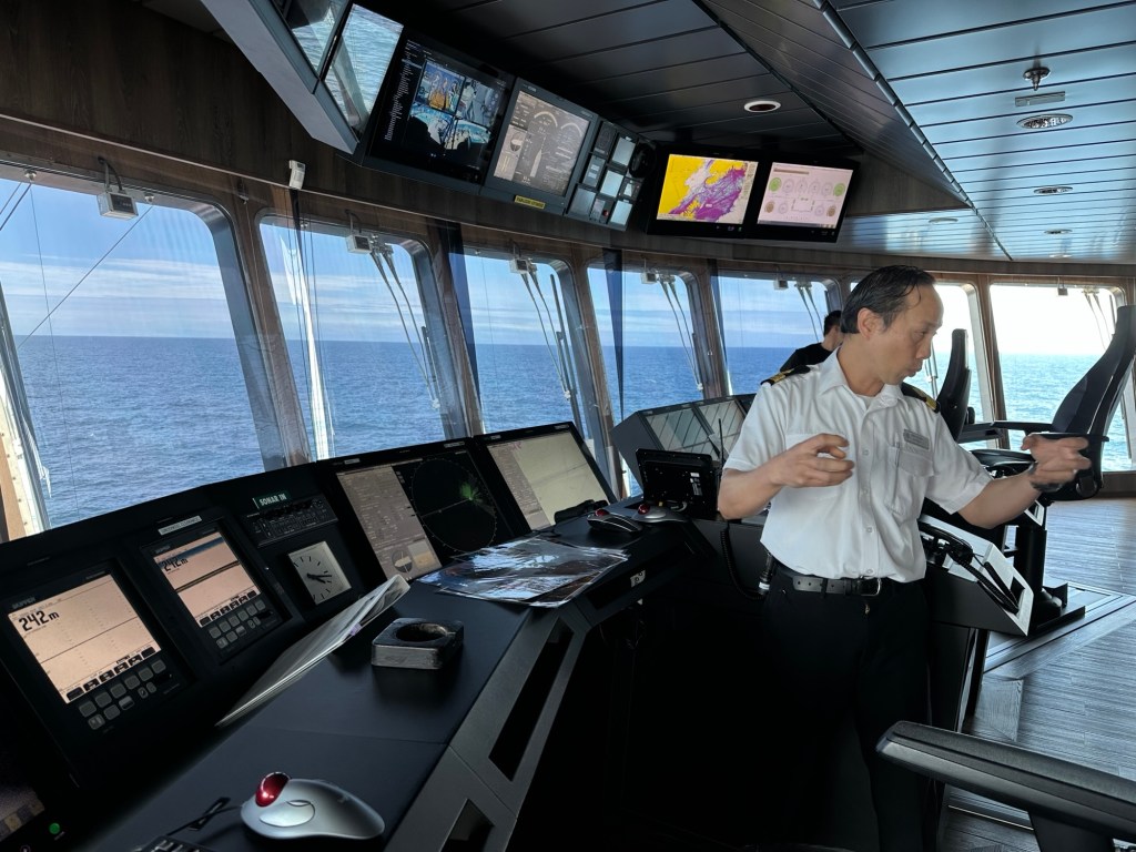
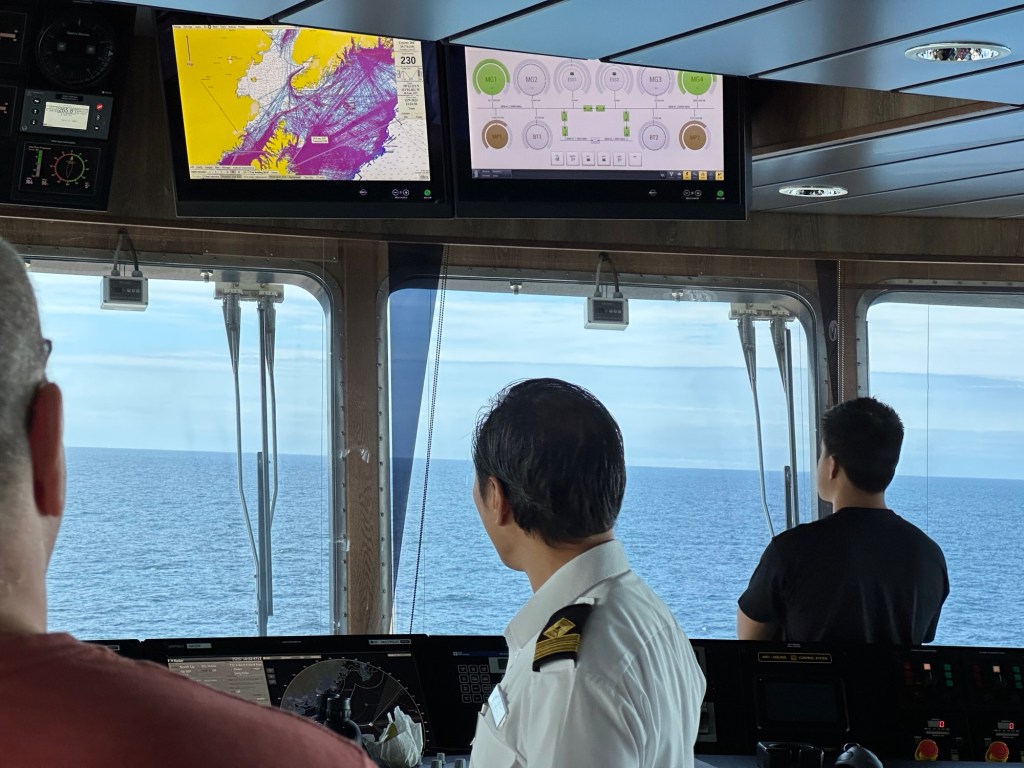
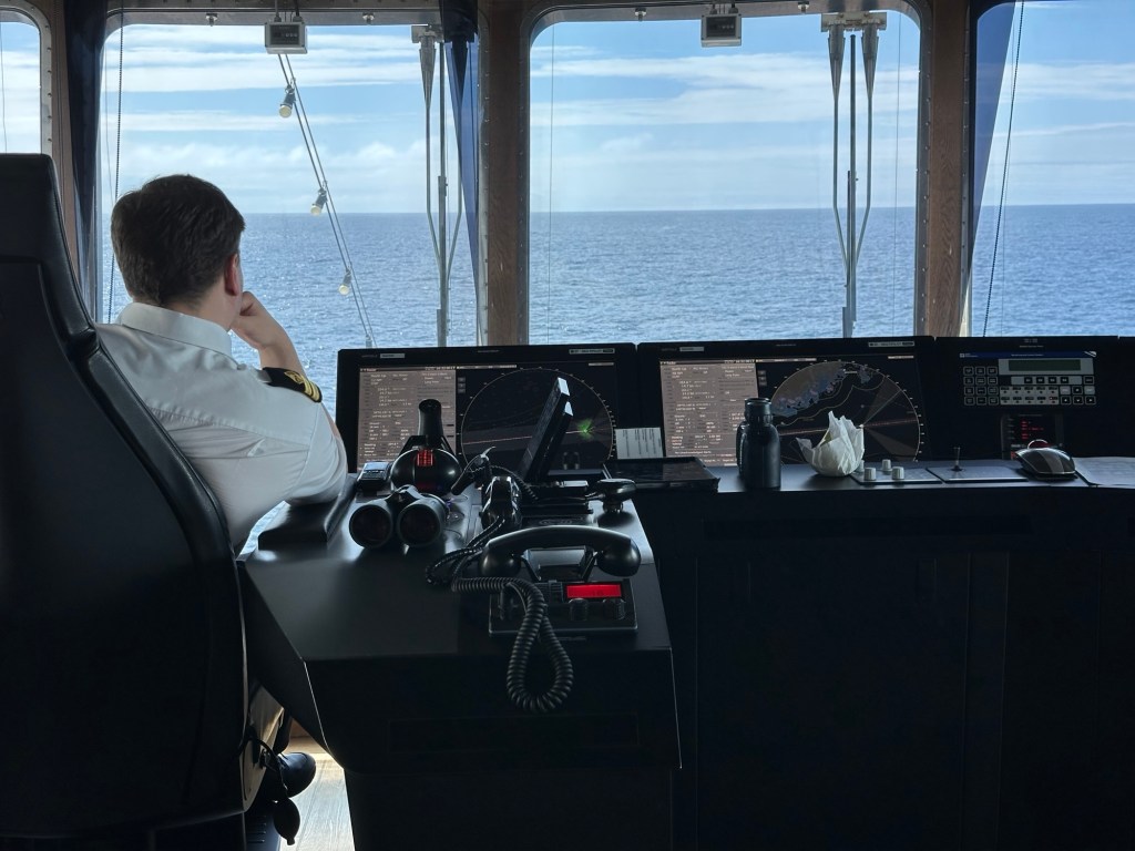
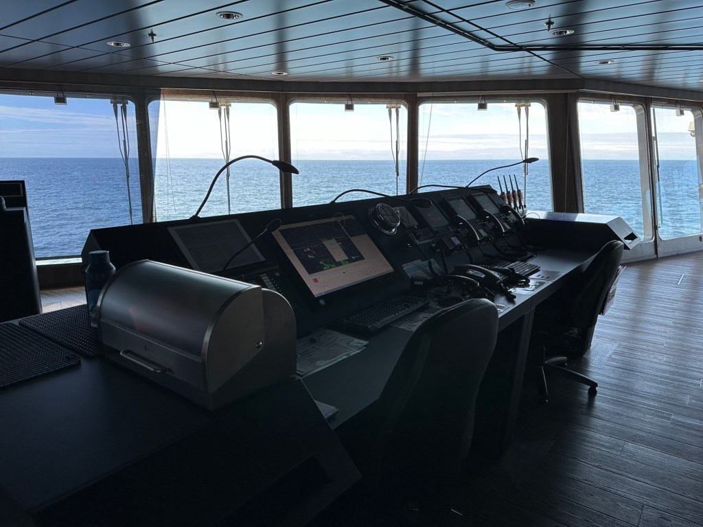
In the afternoon, our group (sea otters) got invited to the bridge for a brief tour.
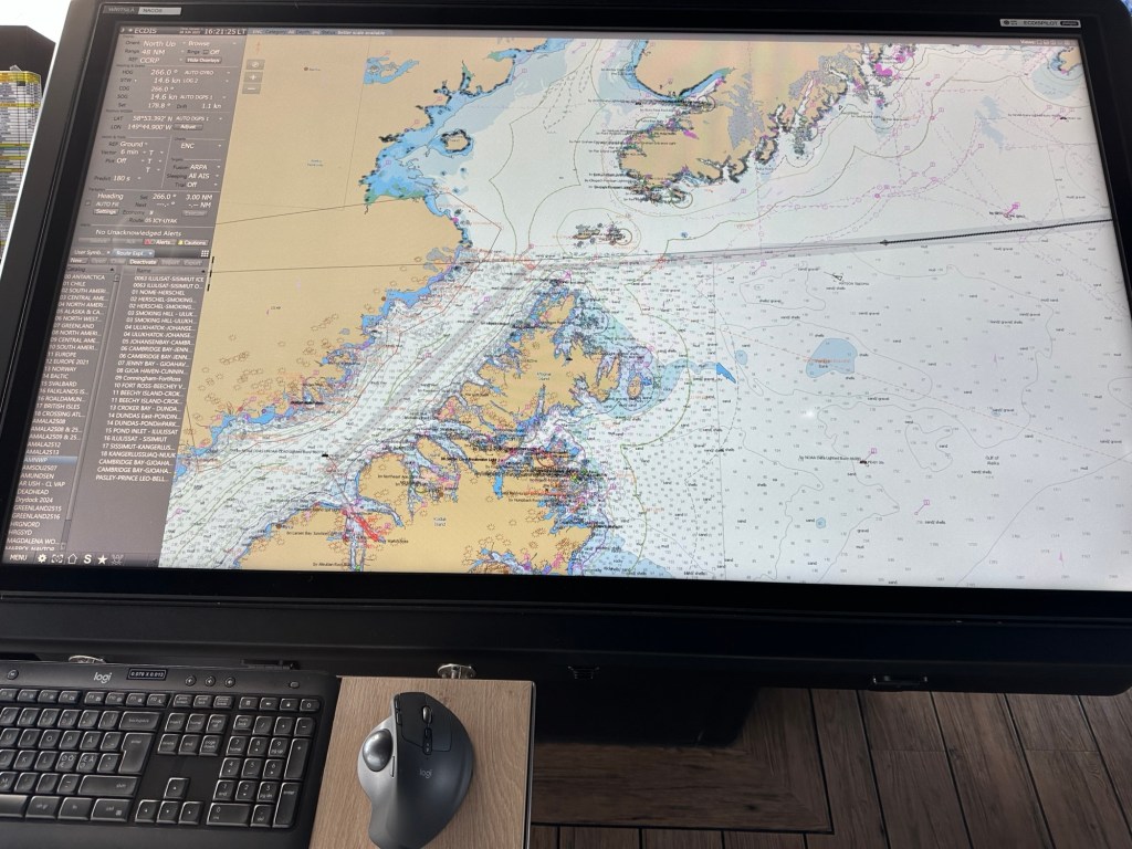
The best view on the ship is from the bridge!A second officer giving the tour of the bridge, with the pilot and lookout visible.Everything is computer!Screen on left shows historic ship tracks in area and right screen shows status of diesel generators and batteries on this hybrid ship.Electronic navigation chartThe pilot has a small joystick to drive the ship, but it is often on autopilot with lateral stabilizers controlling roll.Communications station with VHF and UHF radiosAdjacent to the port pilot control station, the operator can see the edge of the ship through the floor.Safety control station for fire sensing and control as well as controls for water-tight doors.
We woke to fog, with islands dimly visible. It’s a long sea day, so the organizers planned lots of lectures and activities to keep us informed. Our excursion isn’t until late in the afternoon.
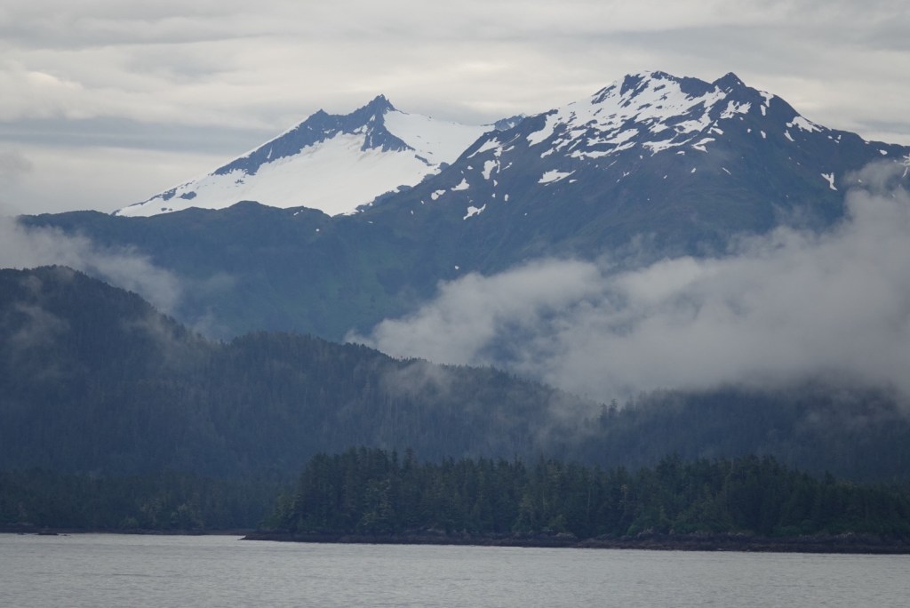
As we head north, snow line gets closer to sea level and the mountains seem higher, although that might be more a function of distance and visibility.
In the first lecture, Lancy spoke about sea birds, with cute cartoons emphasizing how to distinguish related birds in the awk clad. He named the “little brown bird” that our zodiac driver was so excited about the other day. The Marbled Murrelet is rare, in part because it nests in old-growth forests, which are disappearing from the area. They dive deeply for food and fly through the water like penguins.
After the bird presentation, we went to the hot tub and sauna. In the tub, it was fun to watch the effect of the ocean waves on the adjacent swimming pool water. It’s actually fun walking around, trying to go in a straight line.
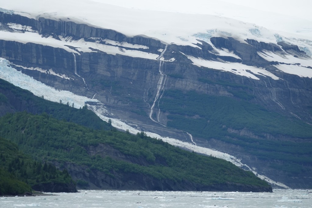
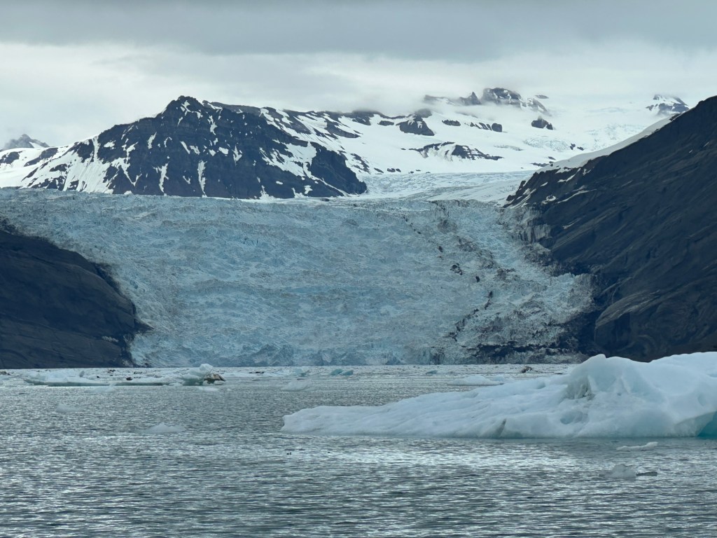
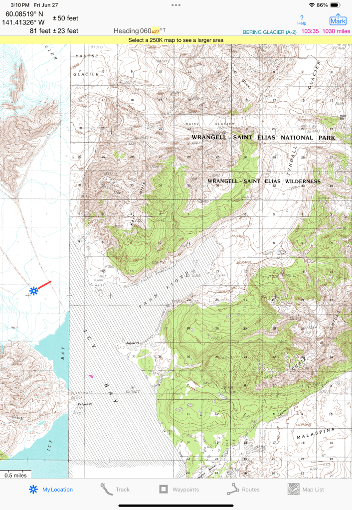
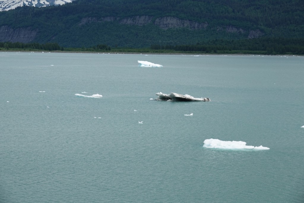
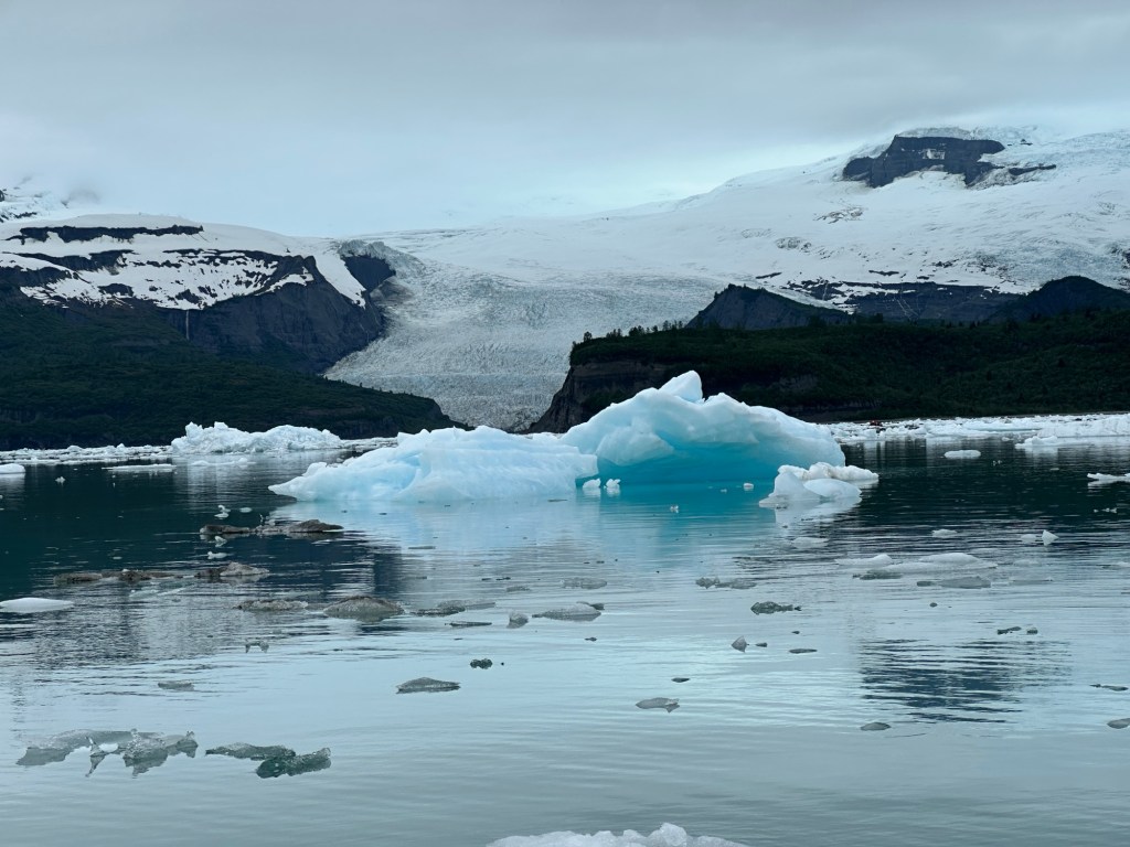
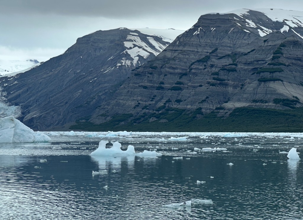
Melting glacier makes waterfalls.Ice floating in front of mountainMany glaciers flowing into Icy Bay are arms of the large Guyot Glacier.Glacier going into the seaOld USGS topo showing glacial ice where our ship floated now
Julian gave a presentation about glaciers, with examples from all over the world. He used clips from a video called Chasing Ice showing ice calving that Clare used when teaching at the Community College of Denver! She was proud to have chosen so well.
The next presentation told of tides – more than I ever knew. Again, well done and informative. Near Anchorage, adventurous folks surf the tidal boar.
Then we learned that the ship had made good time, and our excursion into Icy Bay would be earlier. Hooray!
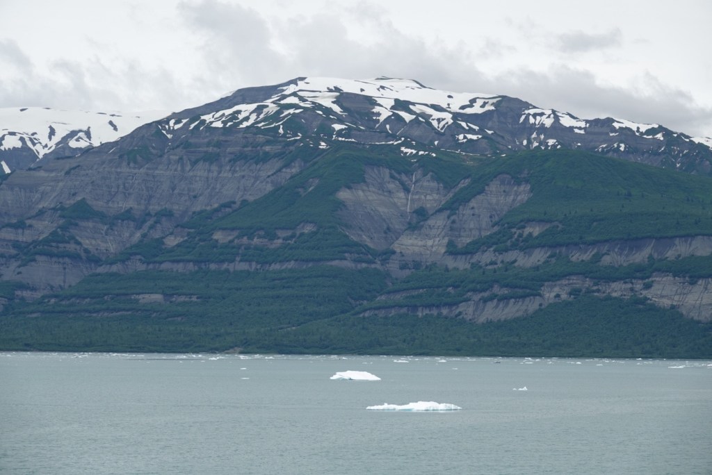
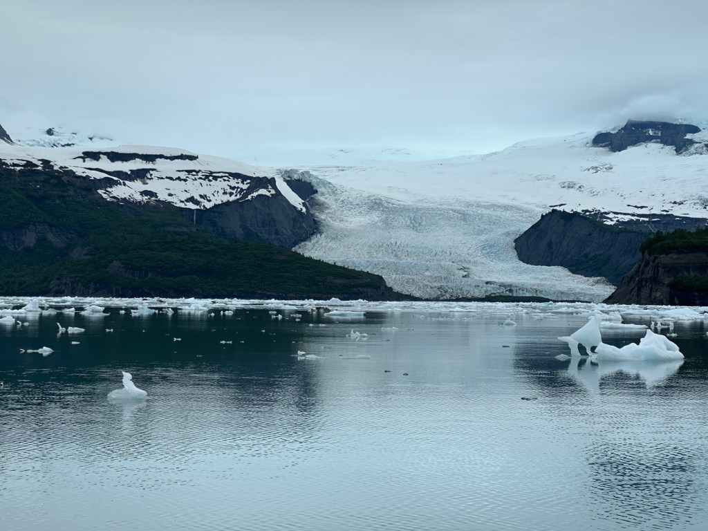
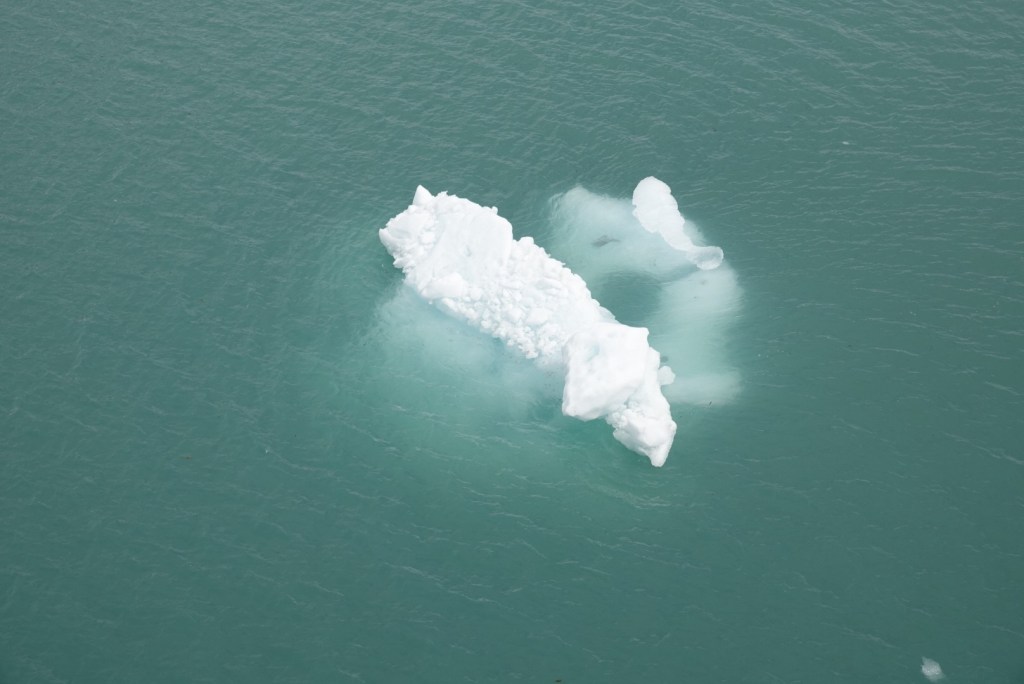
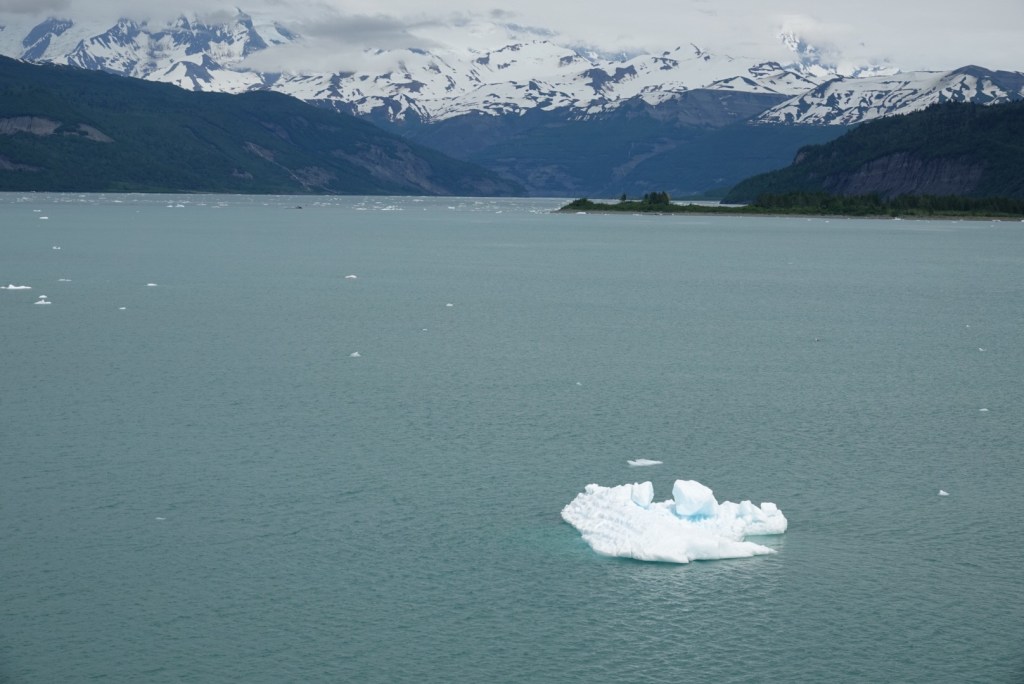
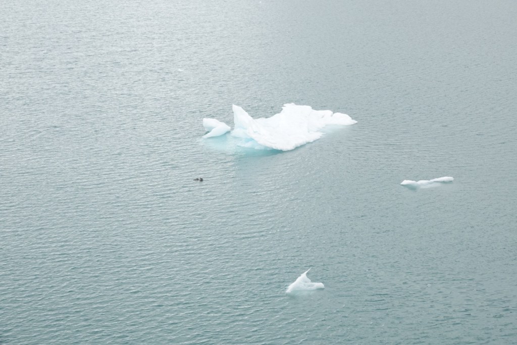
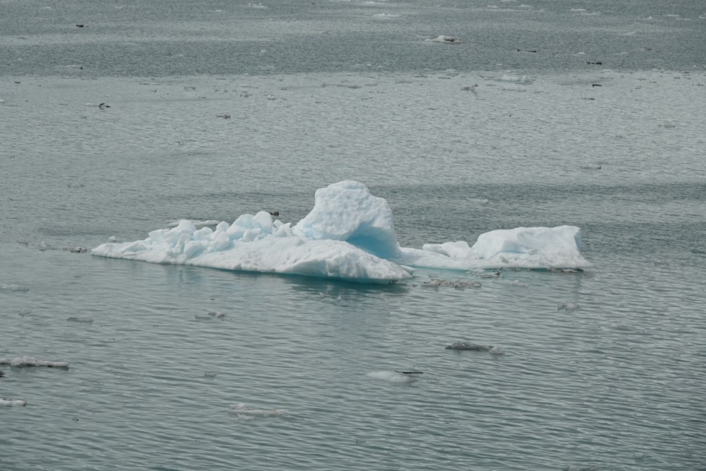
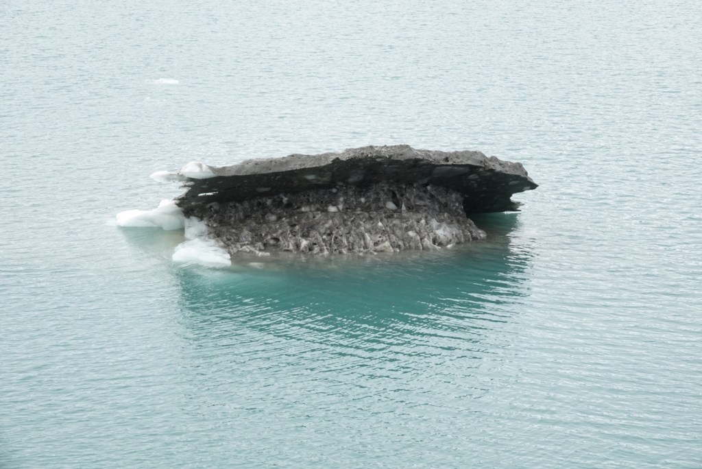
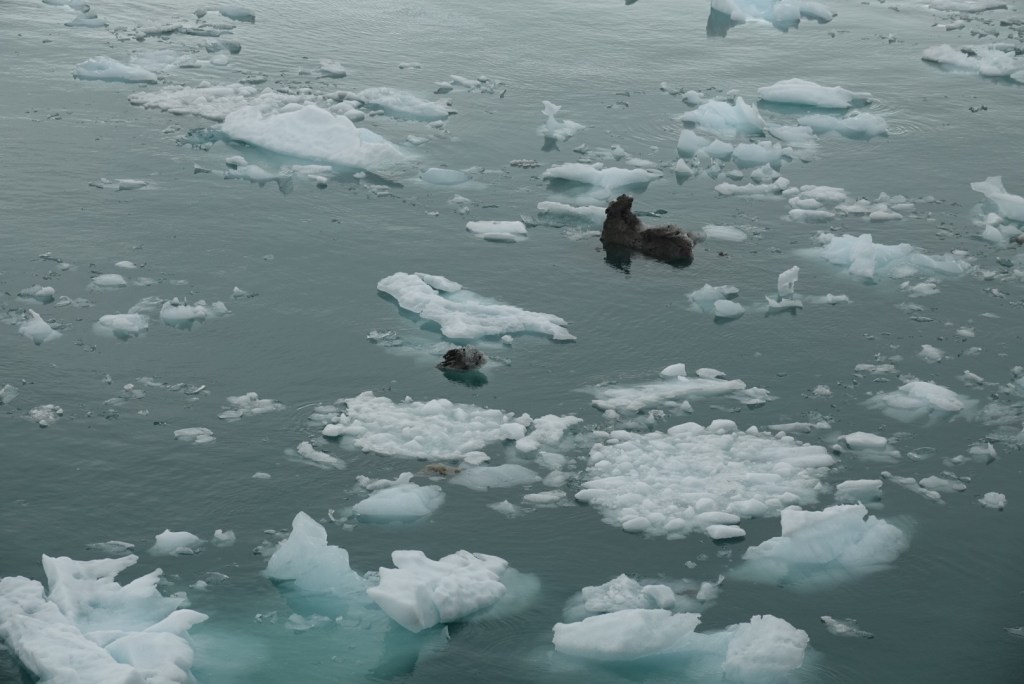
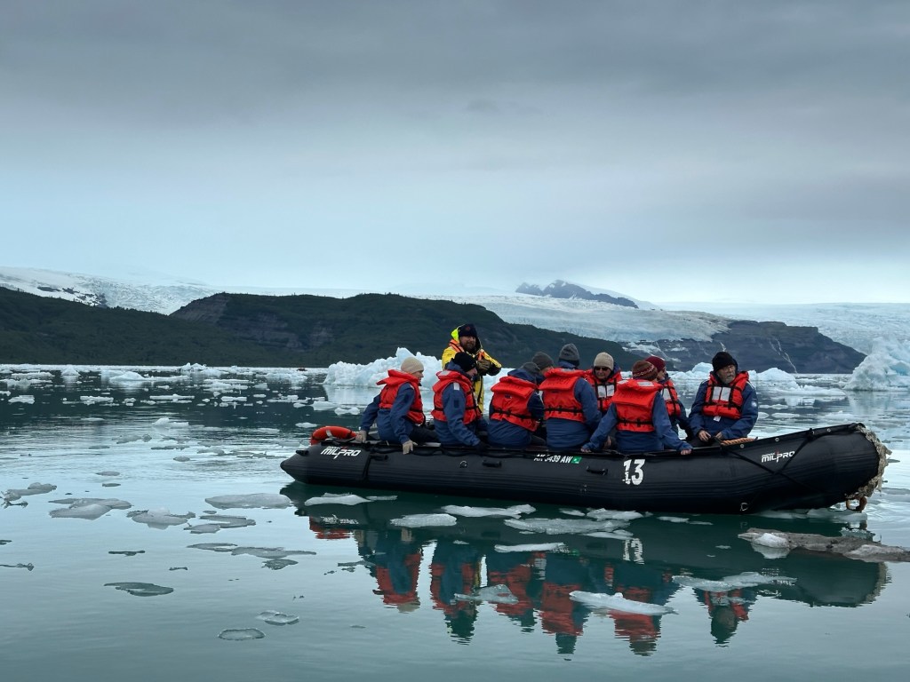
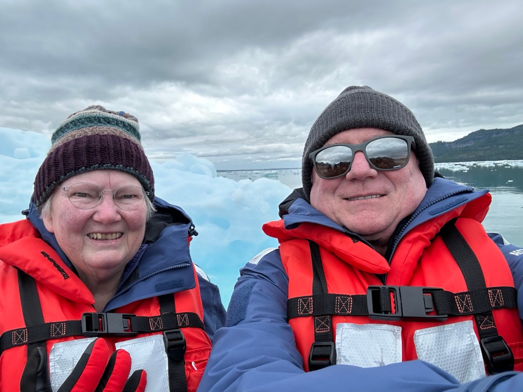
Ice below waterline is much larger than above. We hear about that, but it’s better to see.The ice seems small when looking at a mountain, but they are surprisingly large. So much ice! Big, little, solid clear crystals and white ice with air bubbles. Like in your freezer. Some of the ice carries sediment from the glacier.Turquoise blue in the ice indicates less air in the structure.Ice supporting mud from the edges of the glacier Blue, such a pleasant color, yet rareTops of floating bergs vary a lotKayakers from our shipTwo ice birds kissing!
Icy bay is wonderful, beautiful, exciting and a little sad. Sad mostly because of how transient this phenomenon must be, as the glaciers retreat into oblivion. The spot where our cruise ship anchored was under ice just fifty years ago
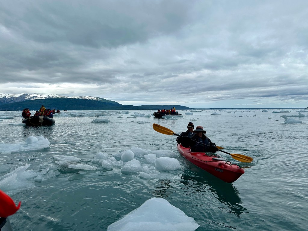
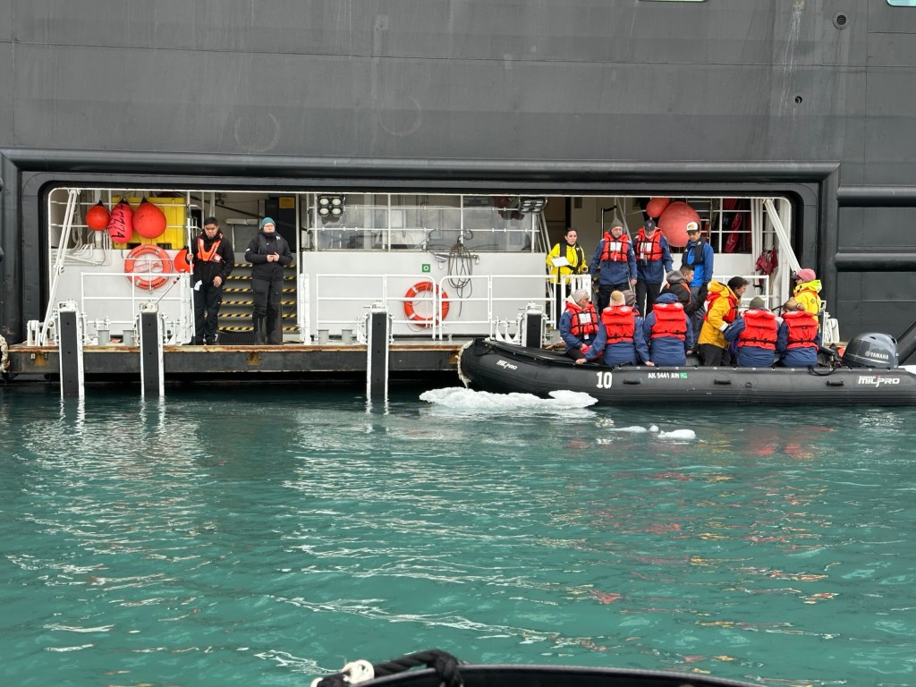
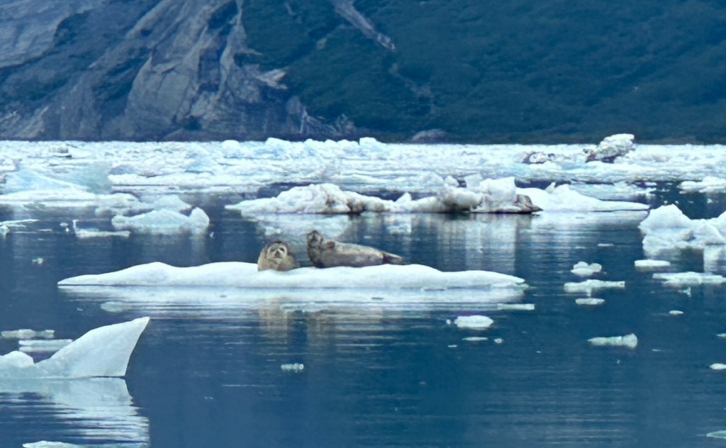
Our Zodiac trip was more vocal, interactive than the last one, probably because of the lack of rain (thankfully!). We passengers delighted in naming the floating ice bits, like one does with interesting shaped clouds. We also competed in seal sightings. The Zodiac captain, Kai from Hawaii, said our group saw more than any of his previous groups.
The “pit” where Zodiaks and kayaks are deployedAnother group on a ZodiakBundled up for the chill!Harbor seals on an ice raftOur ship appears small in the expanse of Icy Bay.
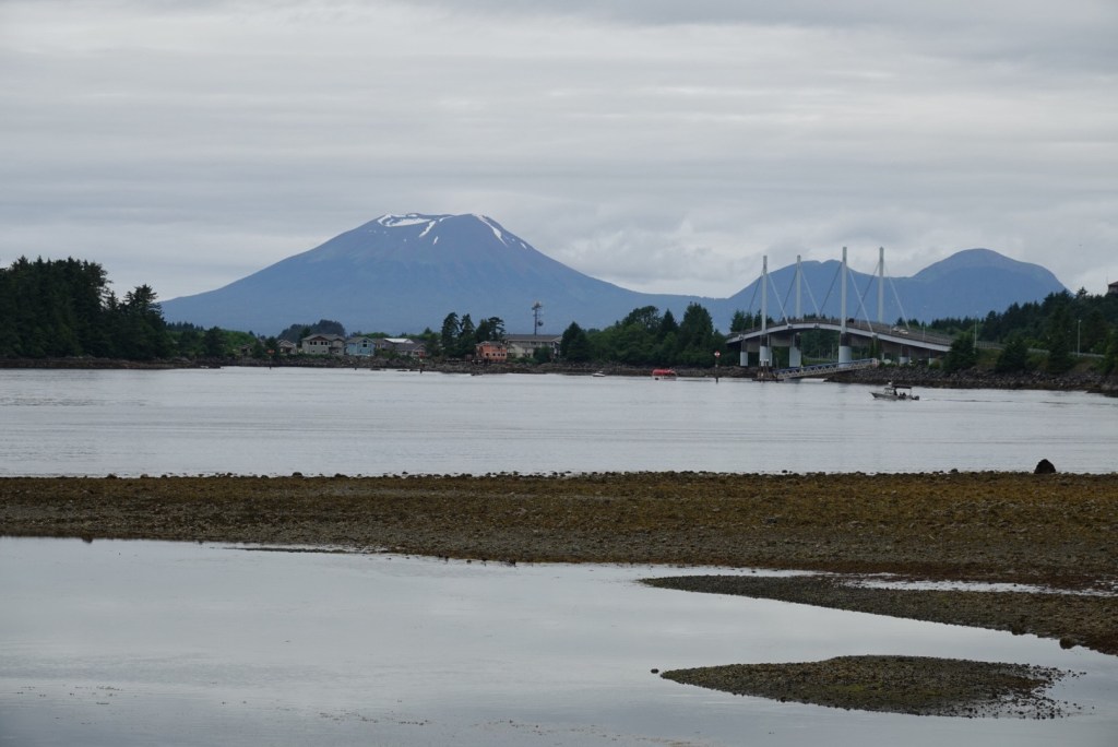
We woke to steep, snow-capped mountains rising above the sea. The air was clear but the sky cloudy. The ship rolled a bit during the night, making us appreciate the smooth seas of the inside passage.
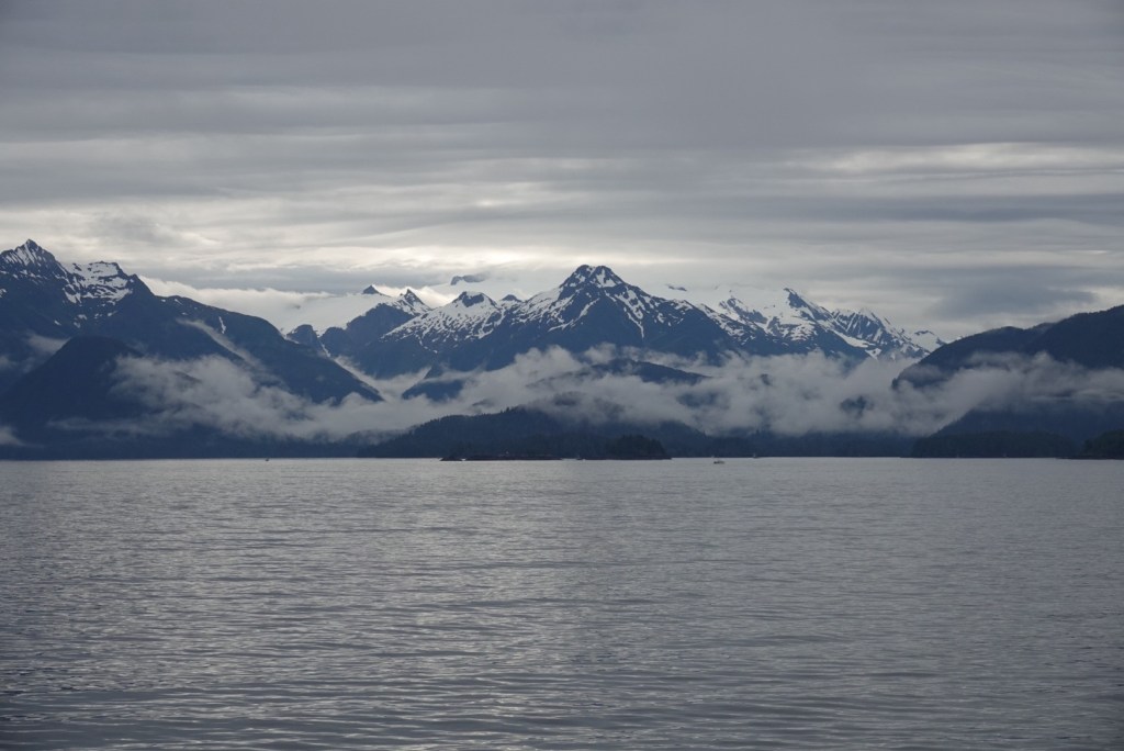
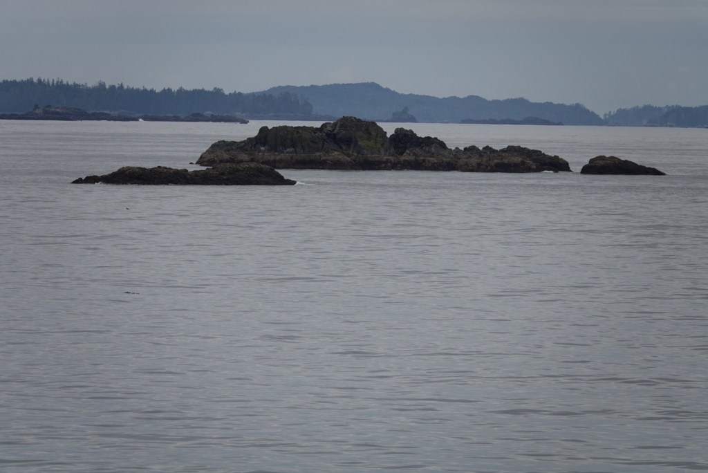
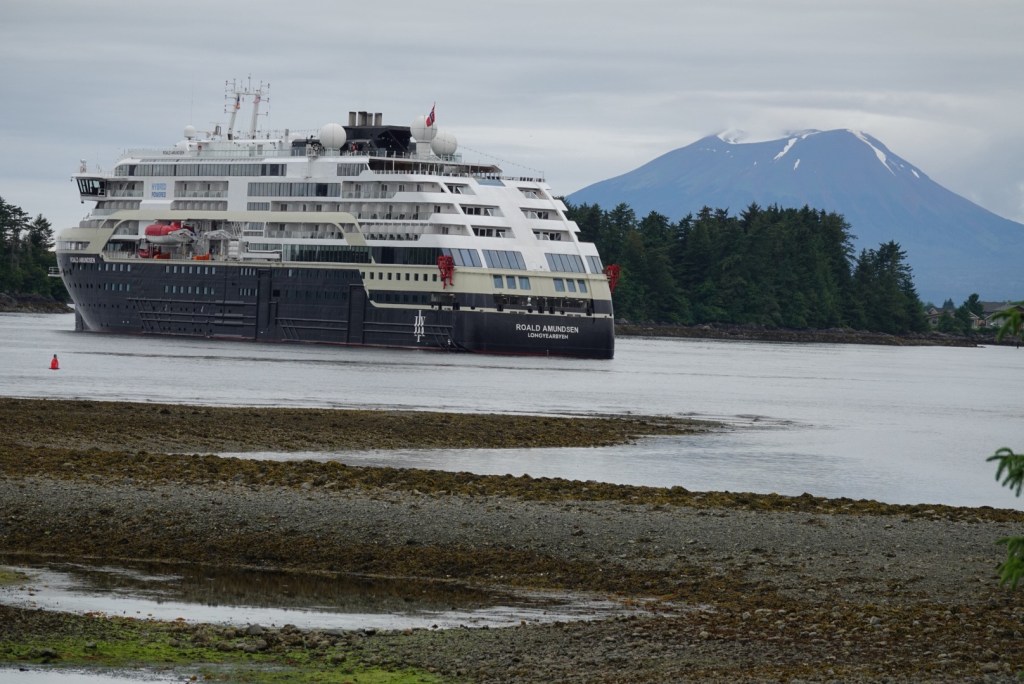
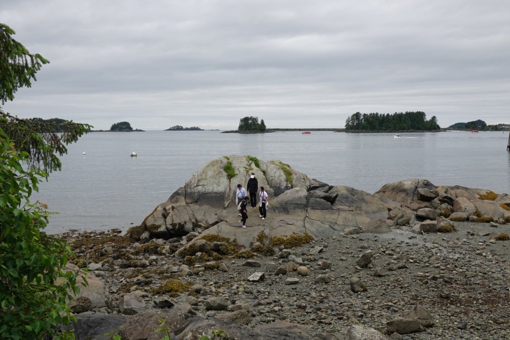
The first thing noticeable on the approach to Sitka by sea is the large number of islands in the bay adjacent to Baranof Island. The second thing is the sharp mountain peaks with snow on them. We watched the mountains go by during breakfast.
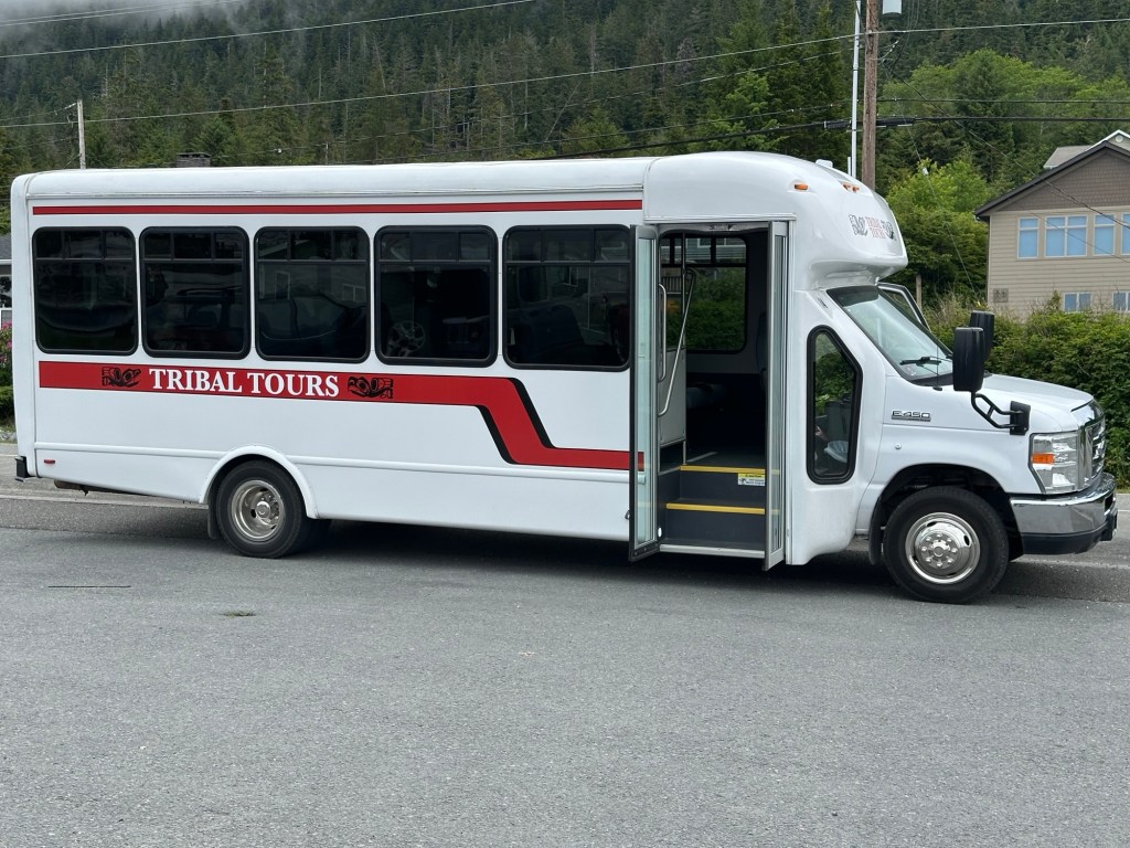
We went to shore on a tender again, meaning we didn’t have to bring life jackets. Then we met our bus driver and guide for our adventure.
Our excursion started early and lasted all morning. Owen guided a group of 21 fellow travelers through the complex history of the Native people, Russian invaders and later the US invaders. First, though, he told us about the Edgecumbe volcano on a close island across Sitka Sound, which last erupted about 4000 years ago.
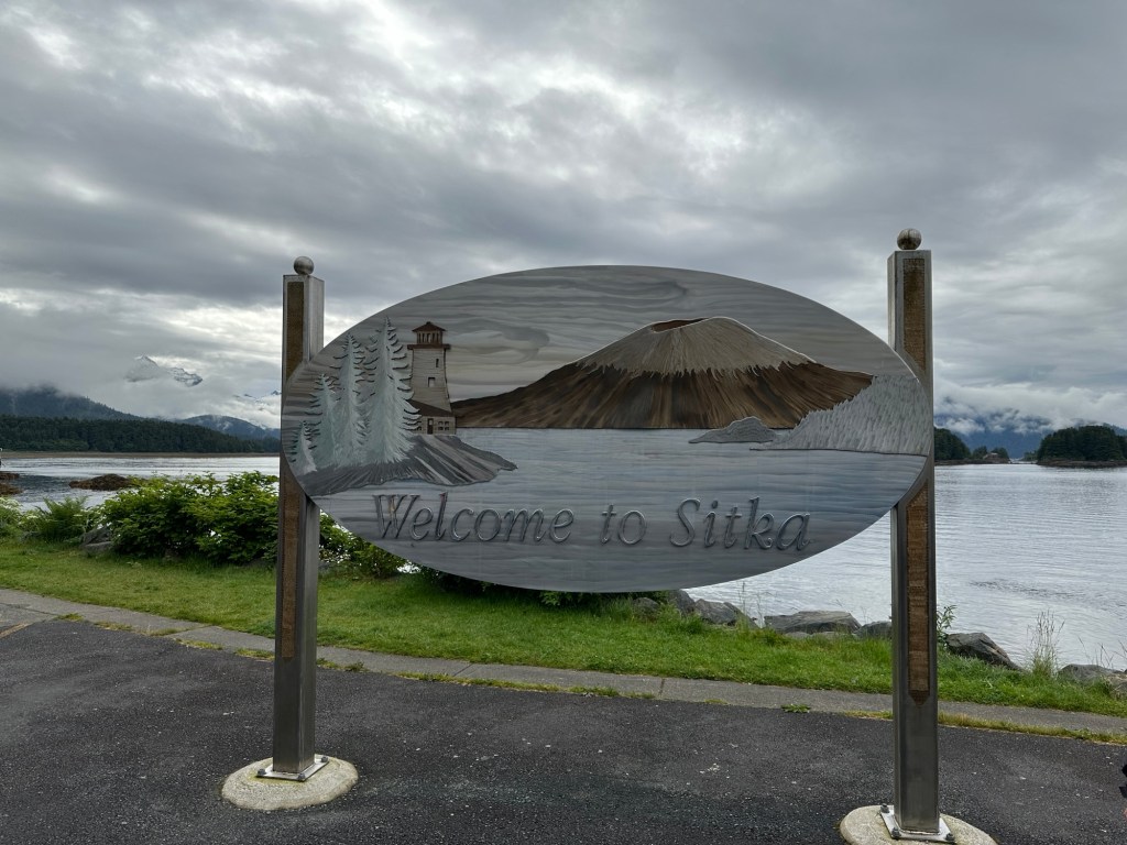
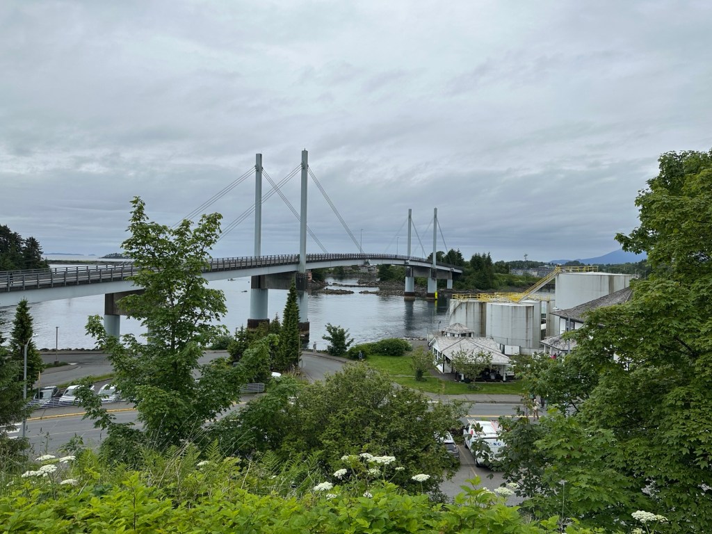
Welcome to Sitka sign, beautiful artwork that made us ask about the volcanoOur little bus, run by a local Sitka tour company Bridge between islands, accessing the airport and the old seaplane base from WWIIOur ship with the Edgecumbe volcano behindLow tide, view of two volcanoes, the right one blasted its top off
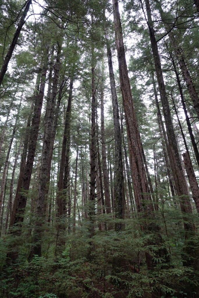
Owen first drove the bus to the end of the road, seven miles from the town center. Both the main roads end seven miles out, at the edge of the wilderness in the Tongass National Forest. This area has been roadless since being designated by the Clinton administration, but Owen worries that the current administration will redefine it. This would be disastrous for the entire planet because these old-growth trees provide oxygen to the air and help maintain the pristine water. We started there because it is also the site of one of the first Russian forts built near Sitka, which was burned to the ground by the Tlingit people in the early 1800s.
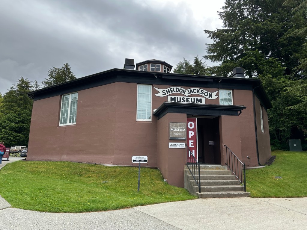
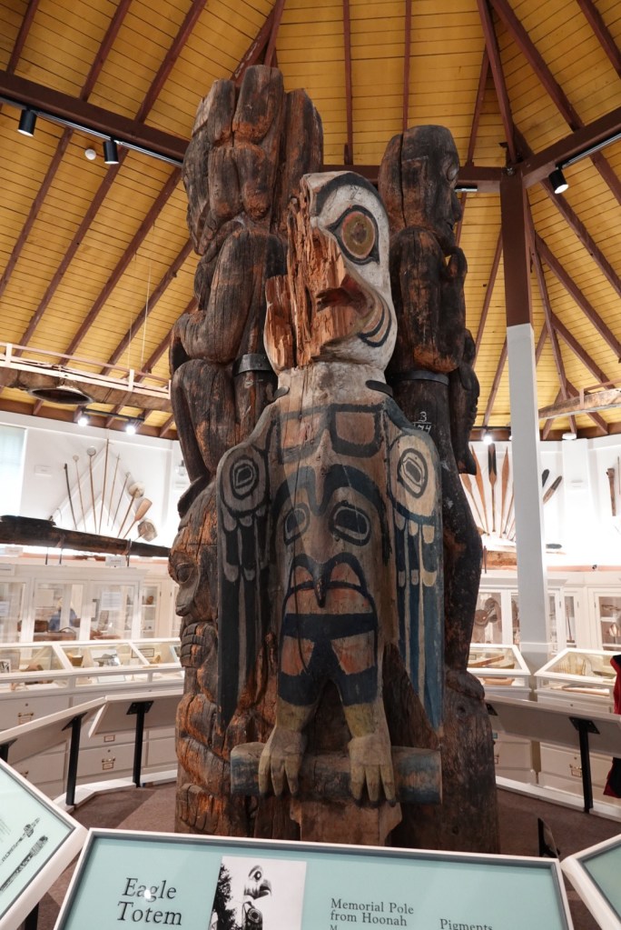
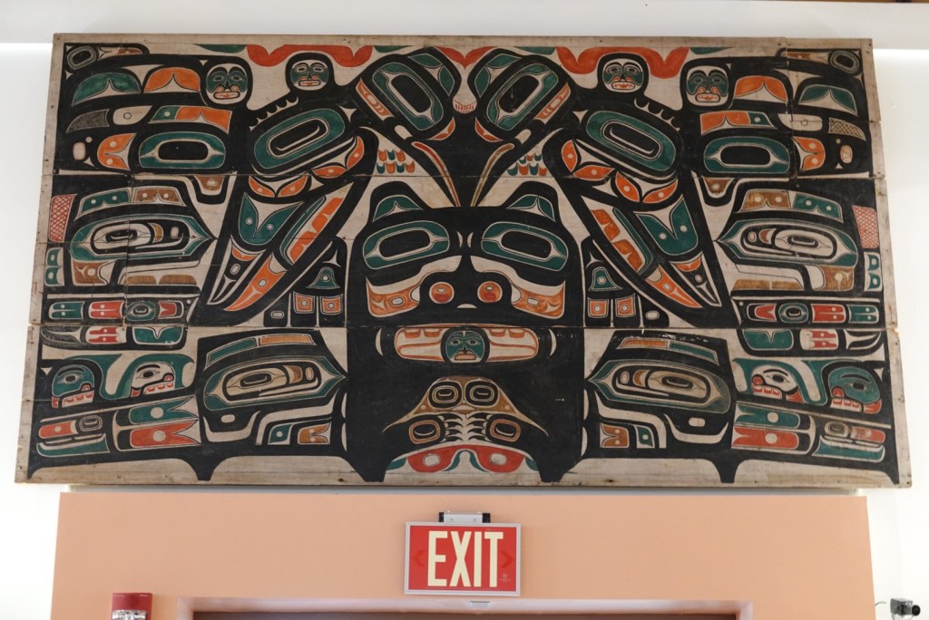
We spent an hour at the Sheldon Jackson Museum, a well organized and user friendly exhibit in an octagonal building, the first structure in Alaska with concrete walls. The native people were curious about how to build something from powder, rock, and water, but the US engineers just asked them to build the framework, then watch. Concrete structures have been popular ever since.
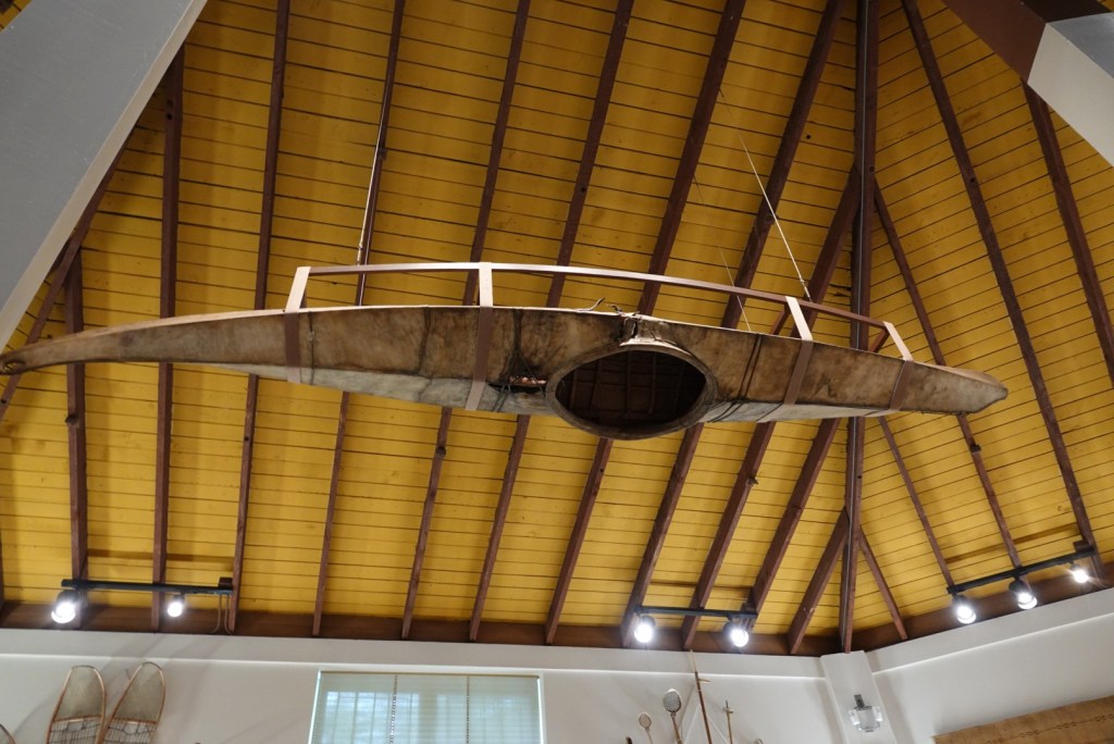
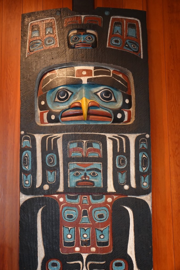
Sheldon Jackson Museum Totem poles in the center of the museumTlingit art above a doorwayA well-preserved kayak hanging upside down
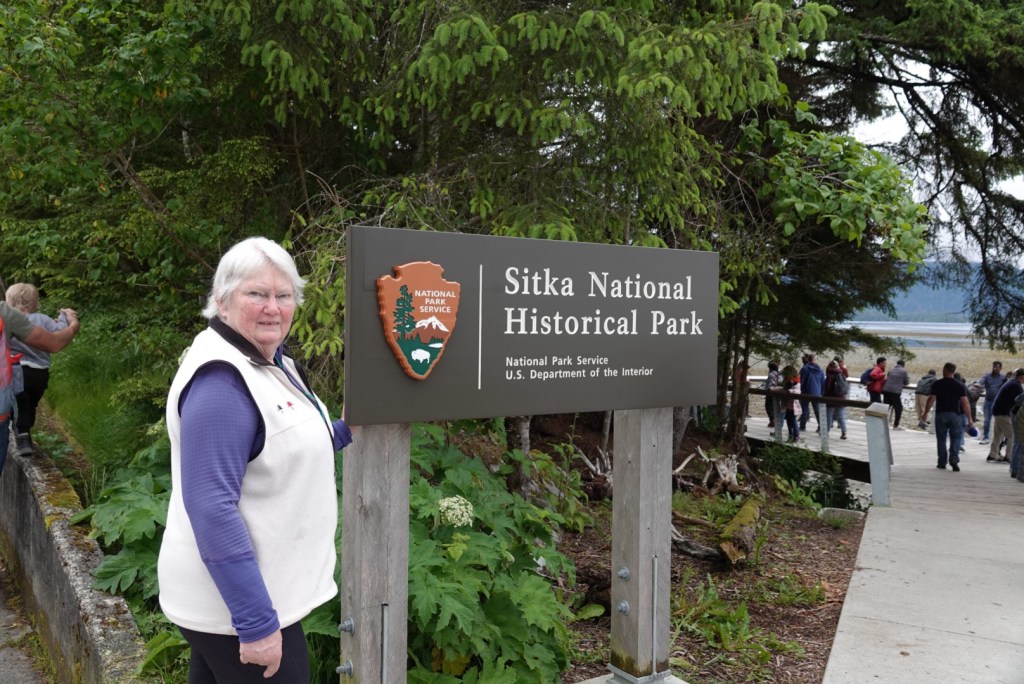
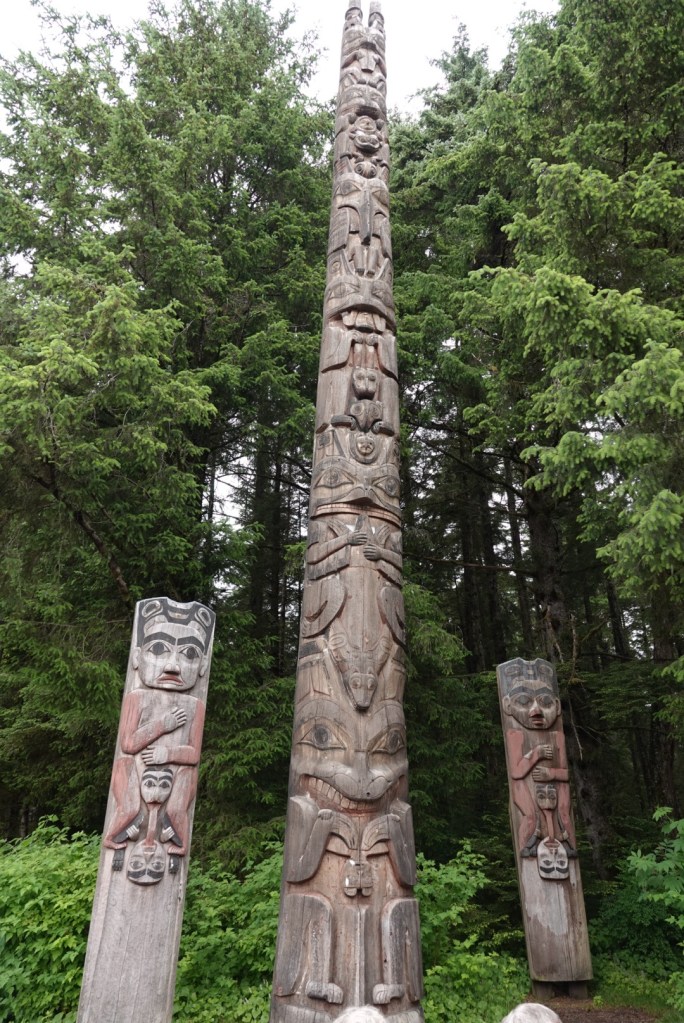
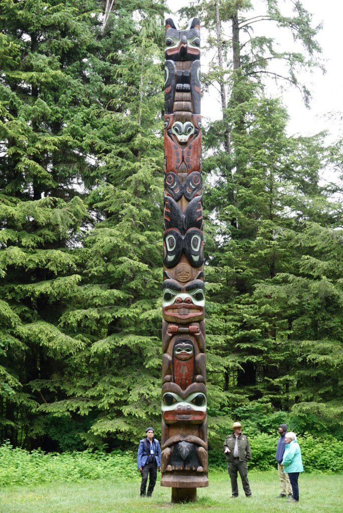
The Sitka National Historic Park was our next stop, where we walked through a display of totem poles in the forest. We learned quite a bit about totems. The phrase “low man on the totem pole” is a misnomer because the lowest person on the totem is actually the most powerful or most respected. In the family totems, this would typically be a grandparent. In the totem at the battlefield, the lowest person is the leader of the Tlingit people, represented by a raven with a notch in its beak to indicate a wound that he suffered before killing his assailant with a blacksmith hammer.
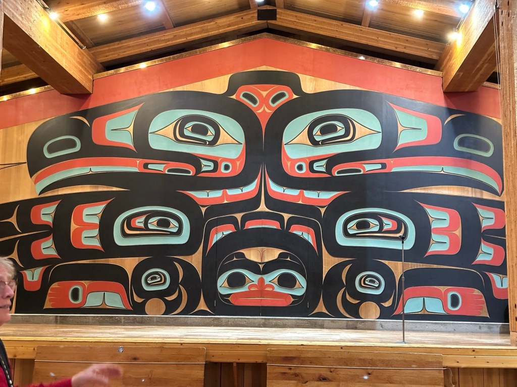
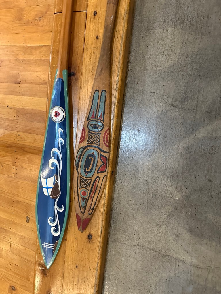
This national park was established in 1972Family totems on the left and right show the elders sharing their tongues with the children to pass along oral knowledgeAt the battlefield where the indigenous people fought the Russians, the bottom of the totem represents the leader of the nativesOur guide and driver, Owen, explaining a totem. His buttons around the vest are made of abalone shell. He explained how to make them without tools. Inside the replica Tlingit meeting houseA larger canoe paddle showing a ship representing the arrival of the white raven “Russians”Inside the National Park visitor center
After the official tour, we wandered around Sitka, a uniquely historic town.
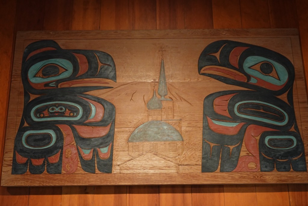
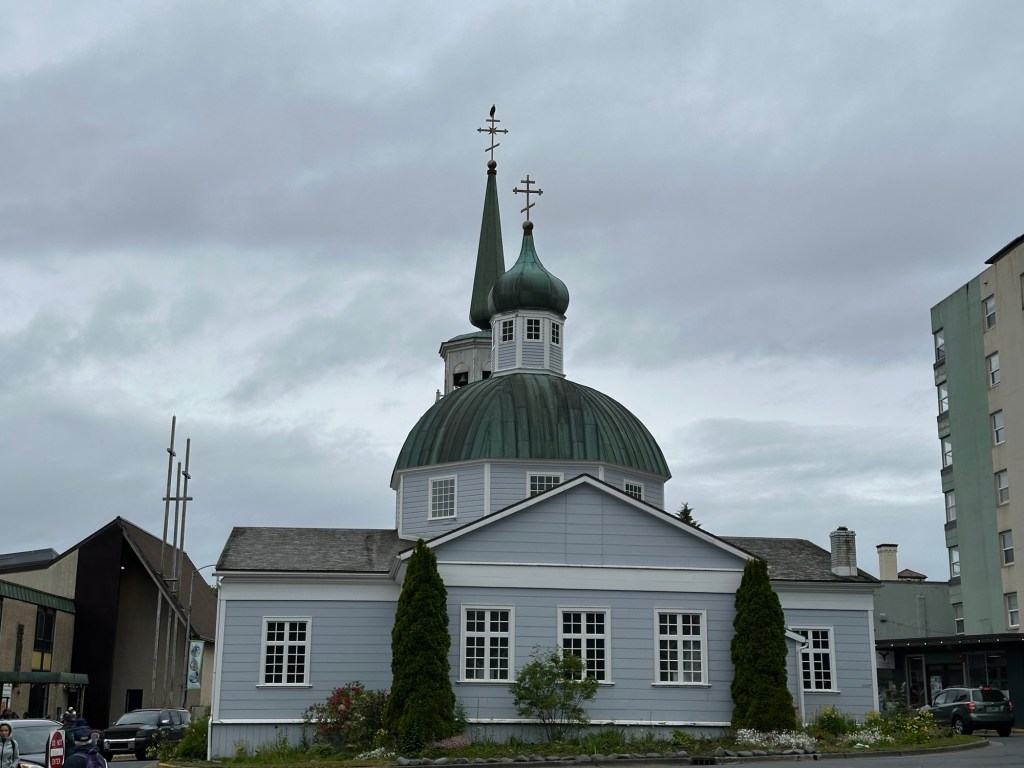
Art on a building in downtown SitkaArt depicting both Russian and native influencesRussian church rebuilt after original building was destroyed by fire in 1960sThis was the site of native buildings and later a Russian fortCannon from the time of Russian occupation Beach rocks, very old driftwood, and very tall trees
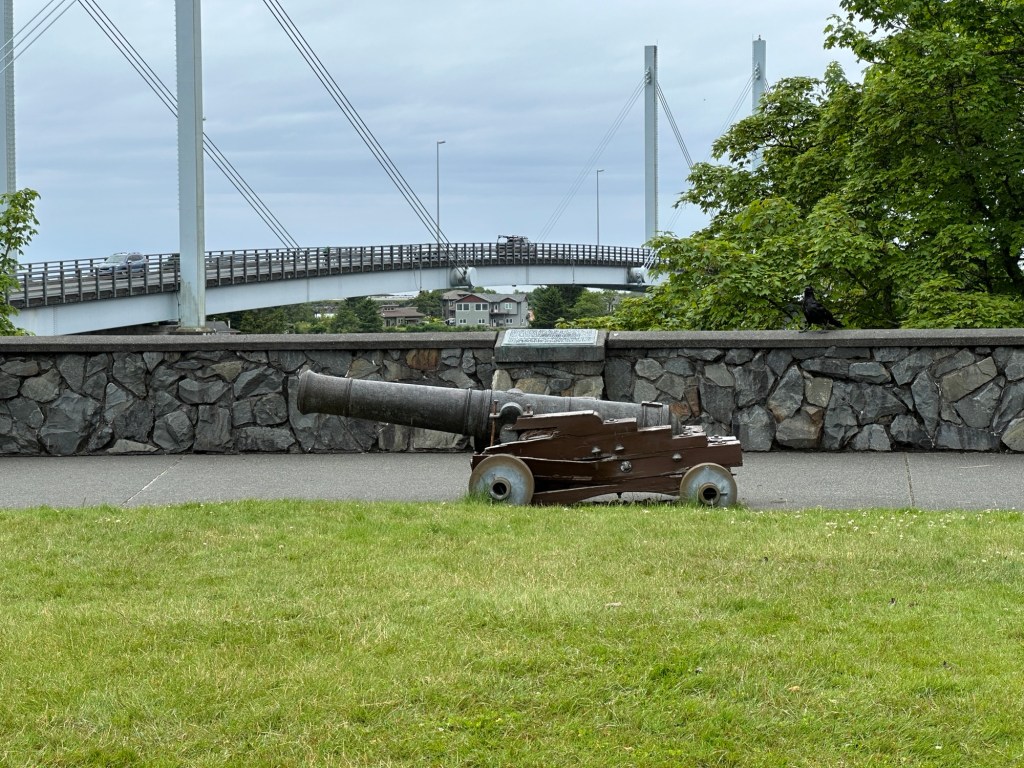
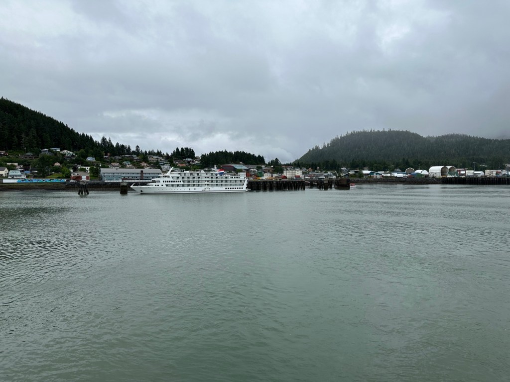
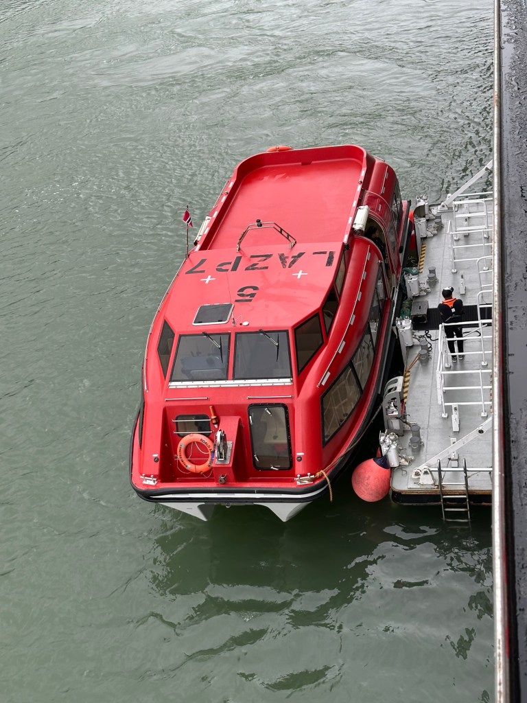
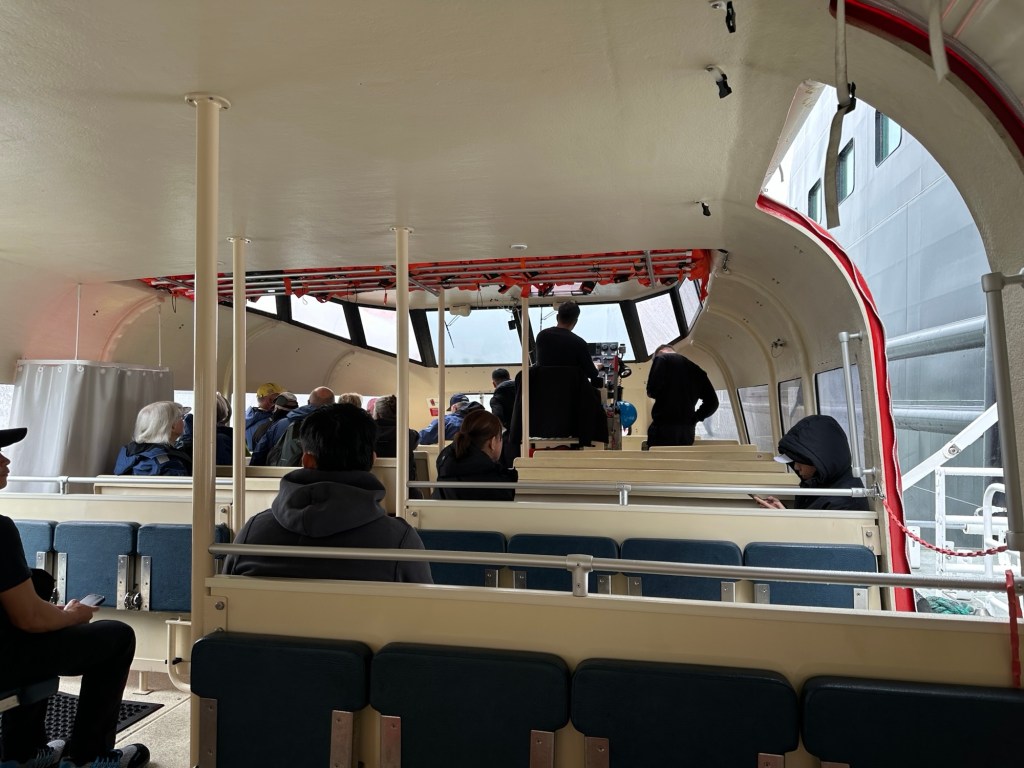
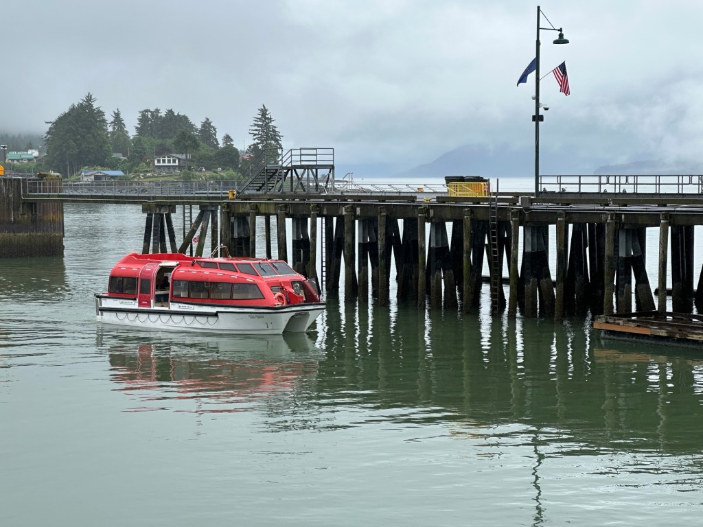
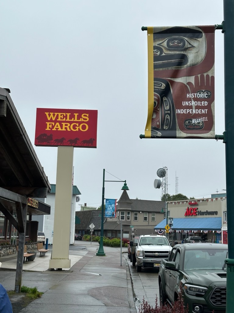
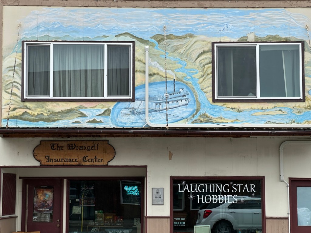
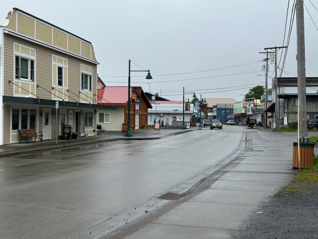
Wrangell, on the north end of Wrangell Island is our first port of the trip. Our ship parked a little ways out from the pier and two tender boats from the ship ferried passengers to and from the dock.
This was our first feet-on-the-ground landing in Alaska. We enjoyed both the town and the hike in the forest emphasizing the botanical uses of plants by the Tlingit people.
An American cruise ship was at Wrangell at the same time. Top of a tender boat. They seem a bit like floating submarines.On the tender, we didn’t have to bring our life jackets from our room. See how secure they seem? They can be completely enclosed in bad weather.
The streets were a lot like any American town. We learned that Wrangell doesn’t get much snow, and when it comes it’s often followed by rain, so snow doesn’t stick around for long.
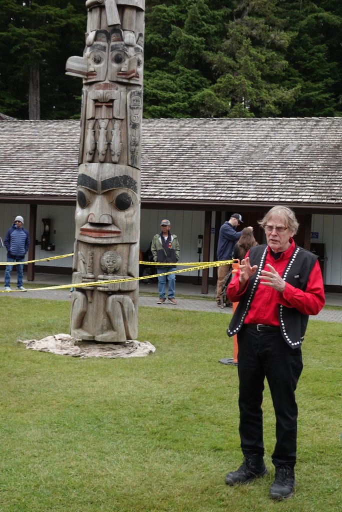
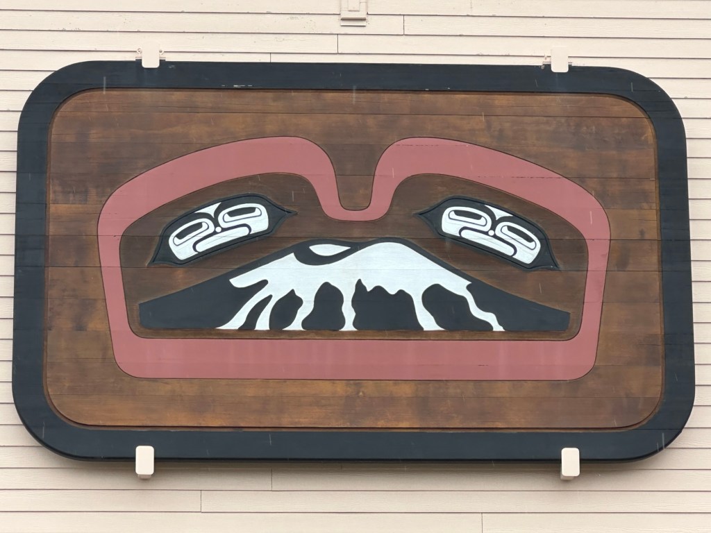
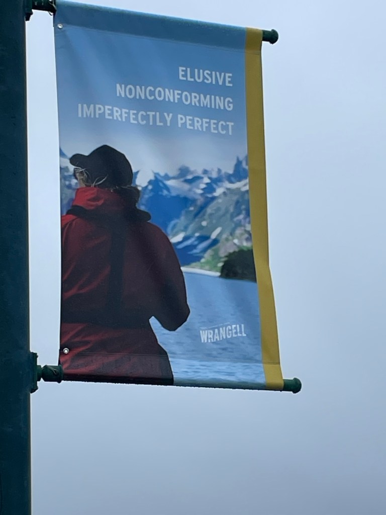
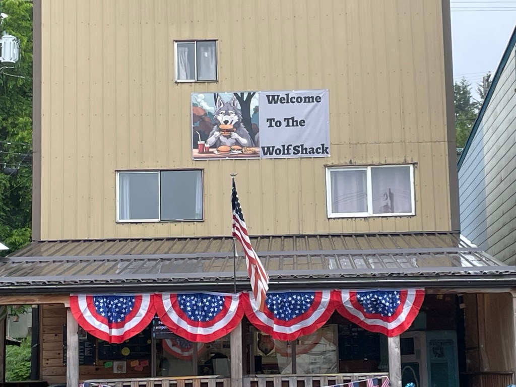
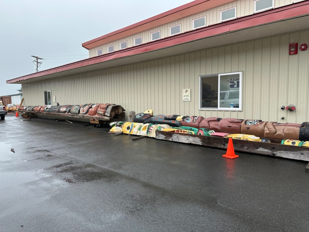
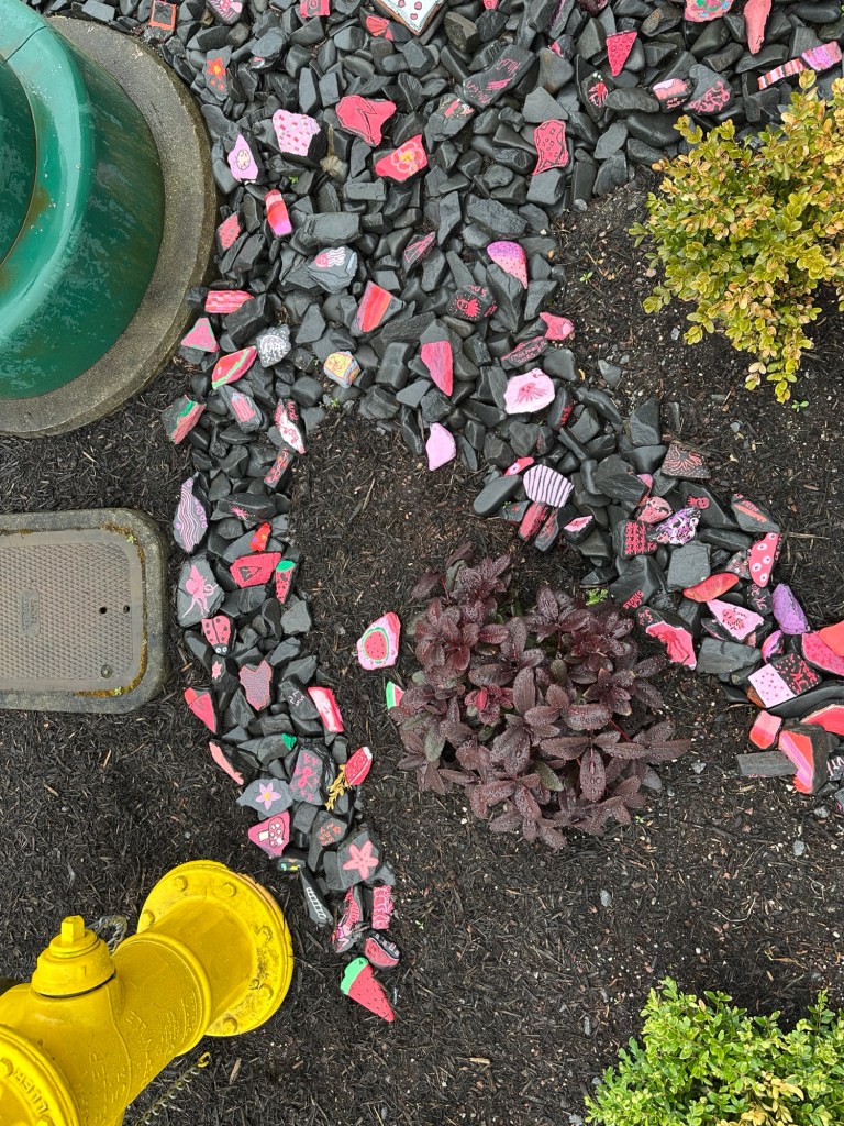
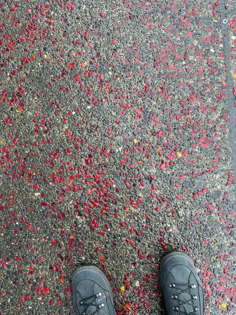
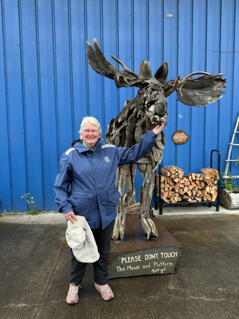
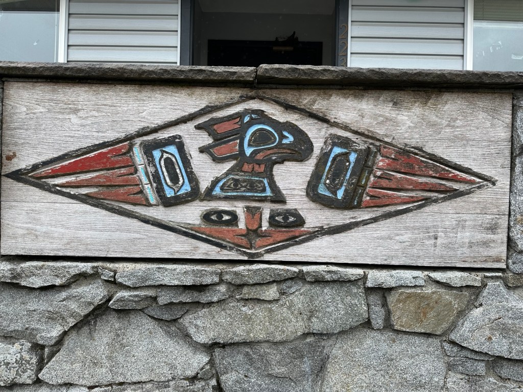
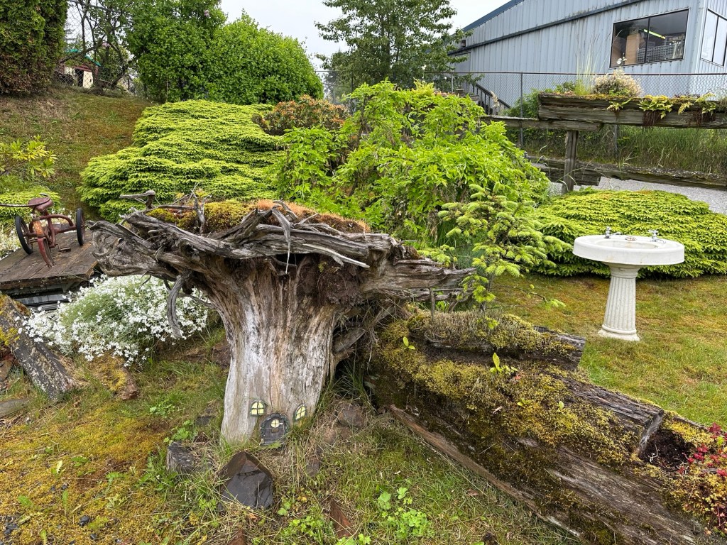
Wrangell has a lot of different flags with fun mottos. Another interesting motto on Main StreetCute wolf flag above bunting getting ready for Independence DayWe were told in one of our lectures that formerly, when old totems fell, the people would let them go to make room for new stories. Now people try to preserve them to remember.Painted rocks remind me of hopeful messages during the pandemic. The sidewalks are made of chips of local black slate and bright red glass, the town colors. Cute moose made out of driftwoodArt carved from woodMural on a building The rain was fairly light, luckily. Fairy house in upside-down tree trunk below Norwegian Spruce.
The guide for our forest walk in the gardens was an 18 year-old woman, just graduated from high school with 15 people in her class. Della plans to go to Fort Lewis College in Durango, where our own Checkers got a degree. She wrestles competitively and is planning on majoring in Business Administration. She also really knows her plants and loves her home town.
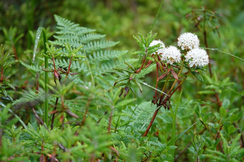
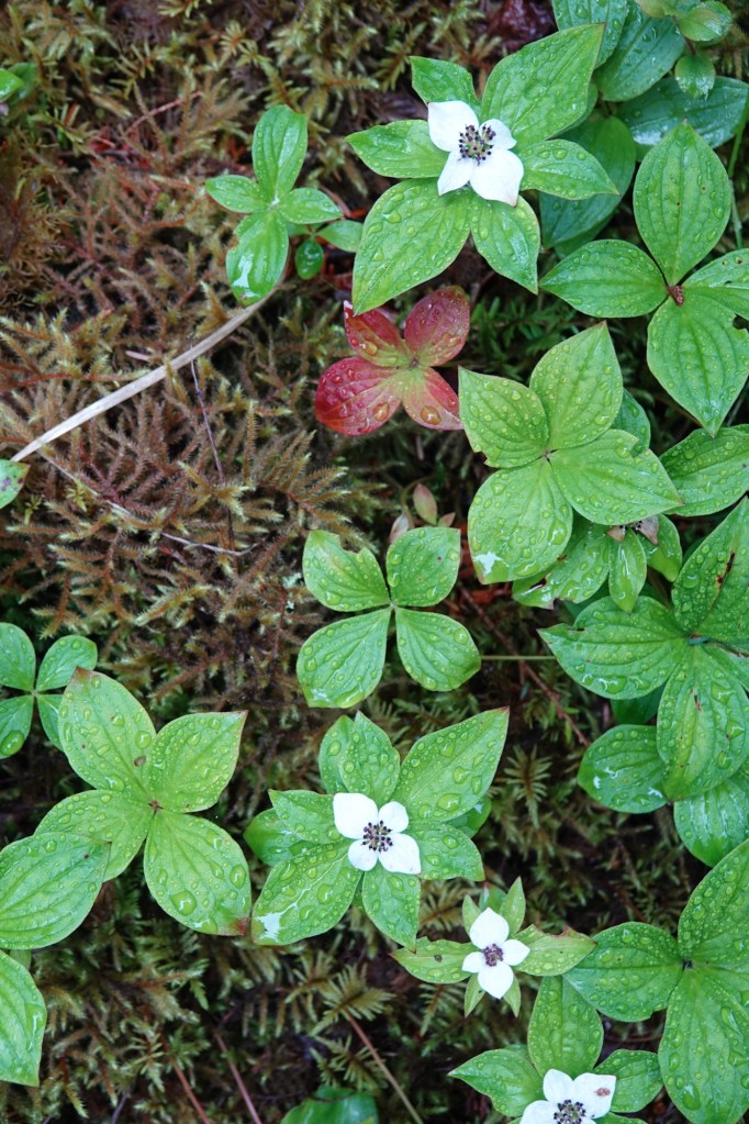
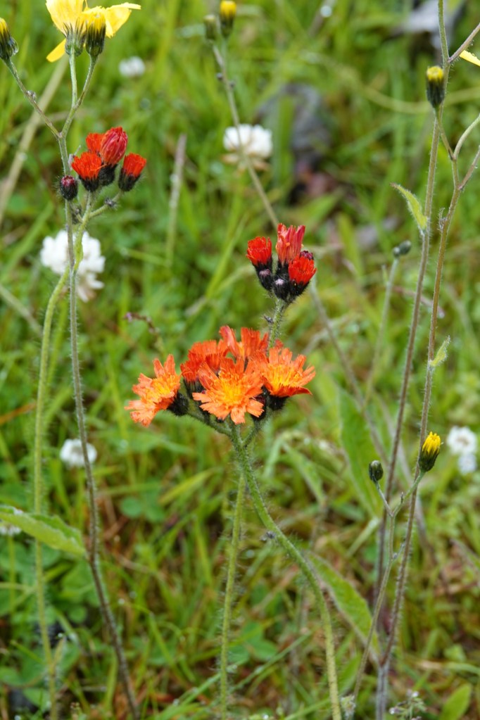
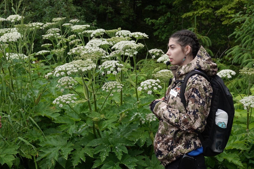
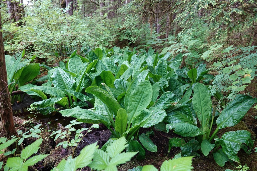
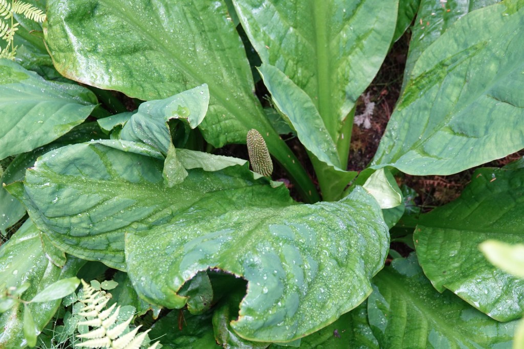
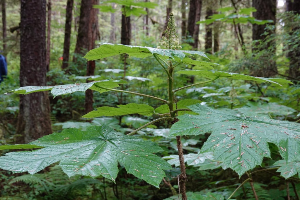
Labrador tea flowers with one of the many varieties of fern. So many kinds of berries! Della told us how the native people used each kind.Della called this a weed, and it does look related to dandelion. Our lovely guide in front of cow parsnip. Skunk cabbageSame, showing the knob of flowers that gives the plant its name.Devil’s Club, a useful plant in many ways.
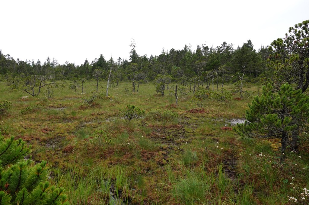
Muskeg, basically a peat bog, hundreds of feet deep. The ground is acidic and almost anoxic, so any tree that gets started growing is stunted like a bonsai tree.