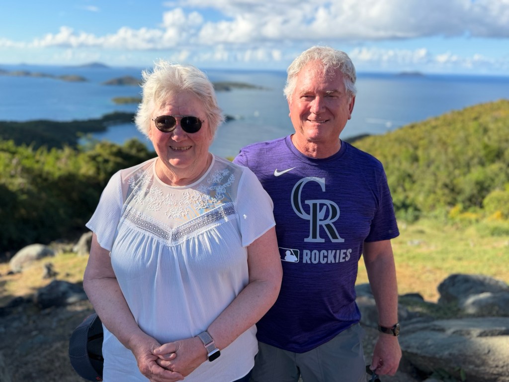
Virgin Gorda and Norman Island in the BVI

Day trip to Great Britain! Who would have thought?
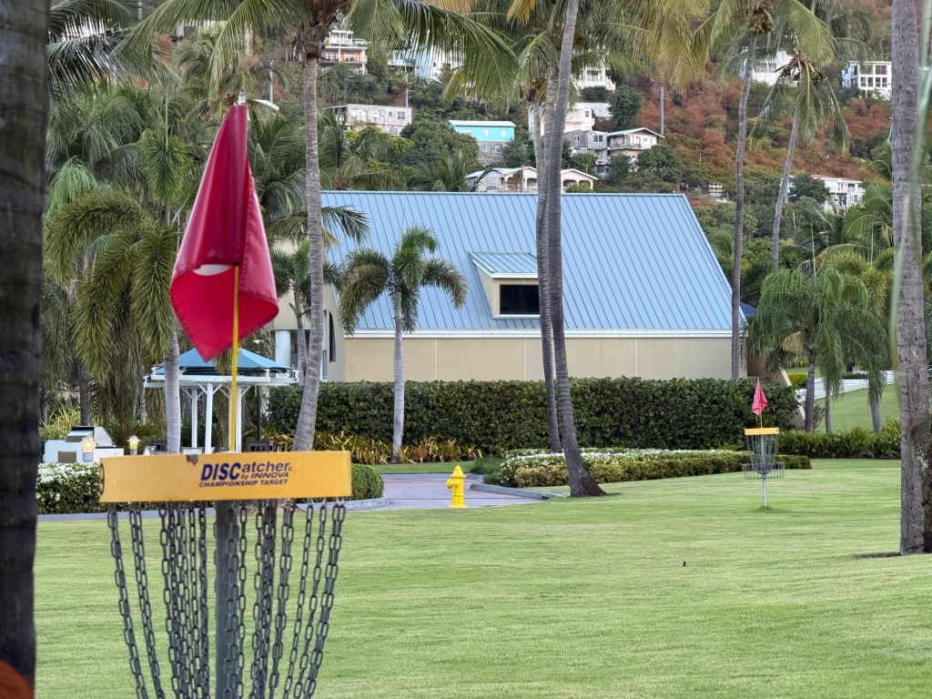
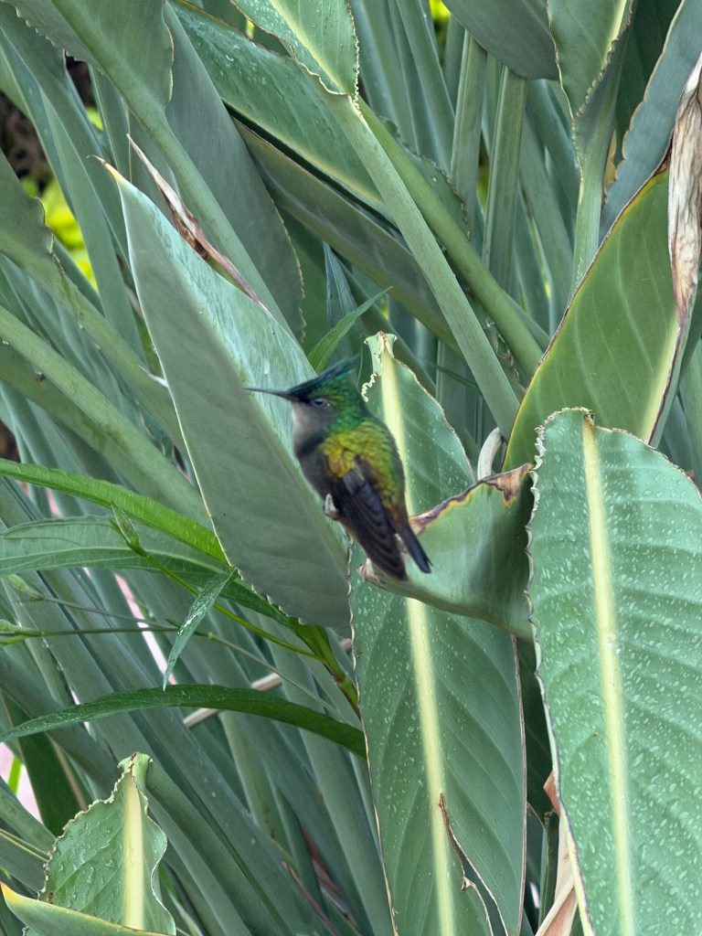
We were to meet our boat at the Westin Resort, which we saw yesterday on our trip with Jenn. A taxi driver named Moses gave us a ride. We had to go through a locked gate where a guard questioned Moses. It felt a bit like a prison for rich tourists, few pathways out of the complex.
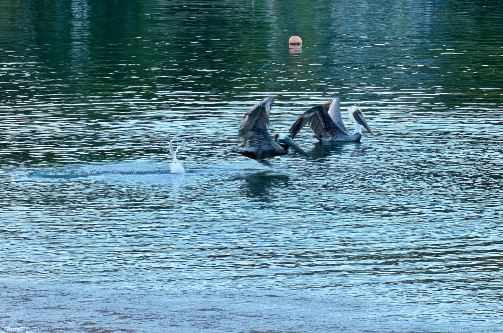
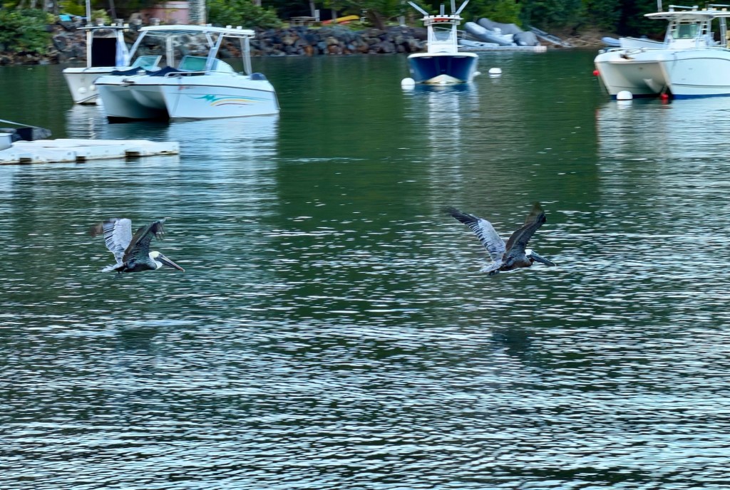
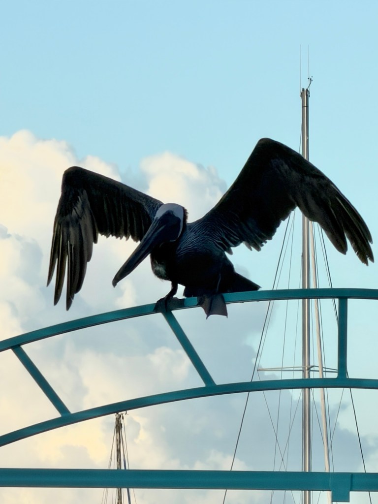
We were entertained by a couple of pelicans diving in the water and posing on the gate as we waited for our group. Tour personnel collected our passports, and we were off.
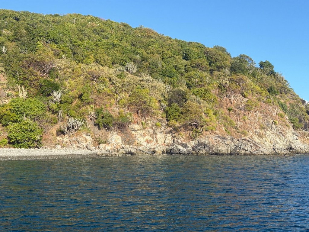
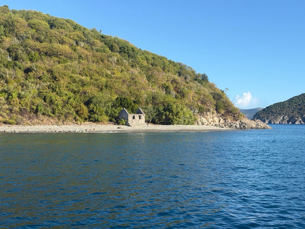
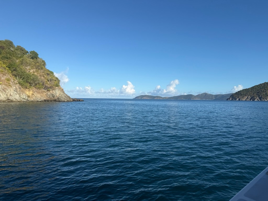
Heading through the Narrows

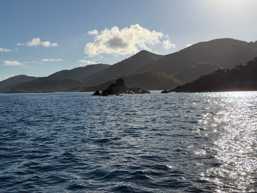
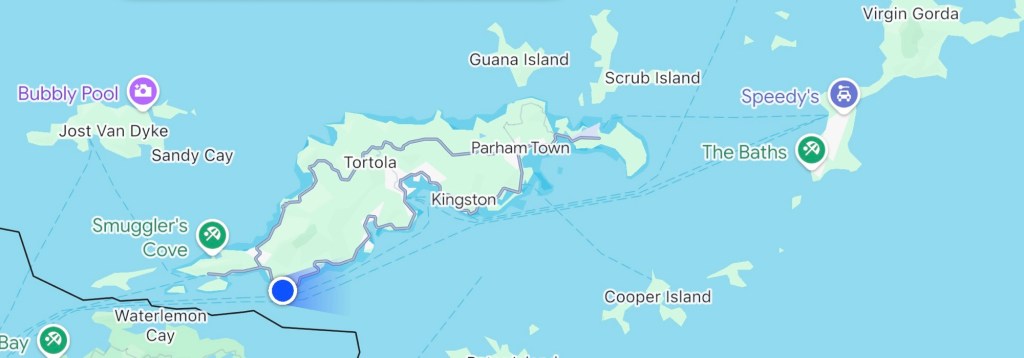
The ride out was smooth and pleasant. We went along the border between the U.S. and Britain for quite a way in the water.
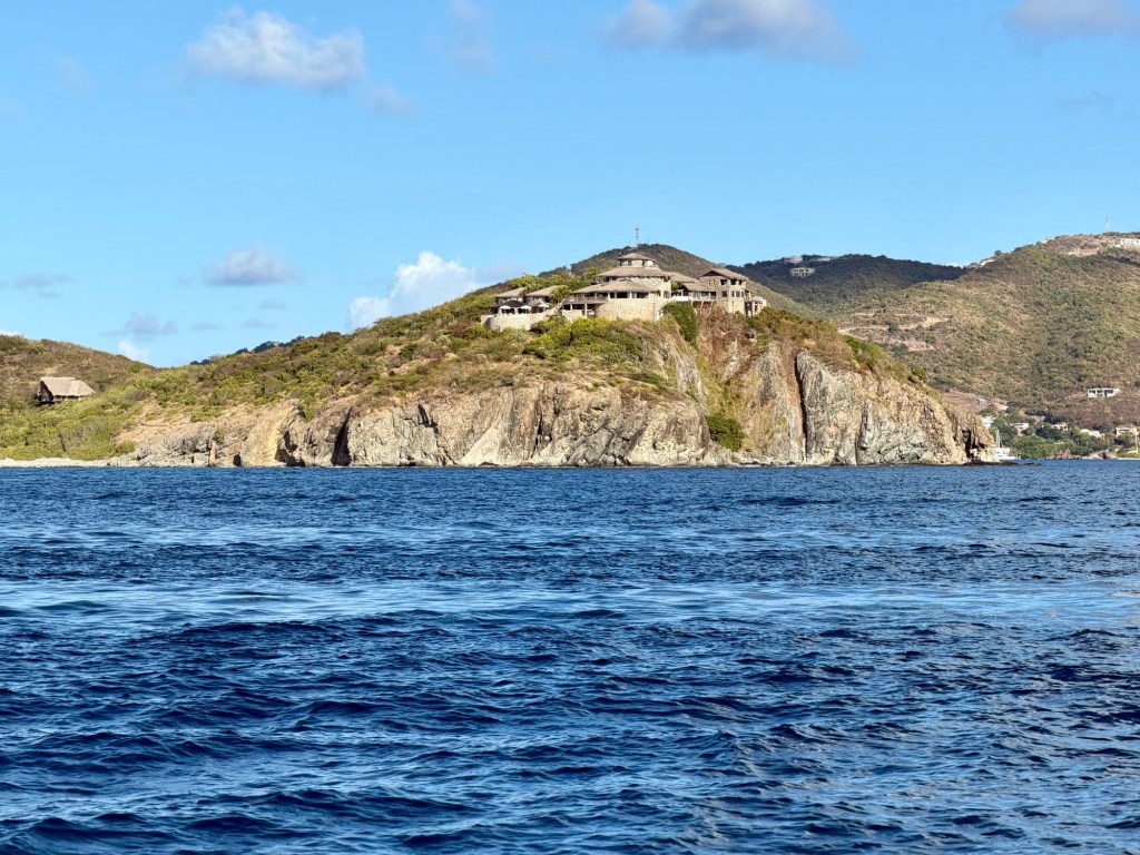
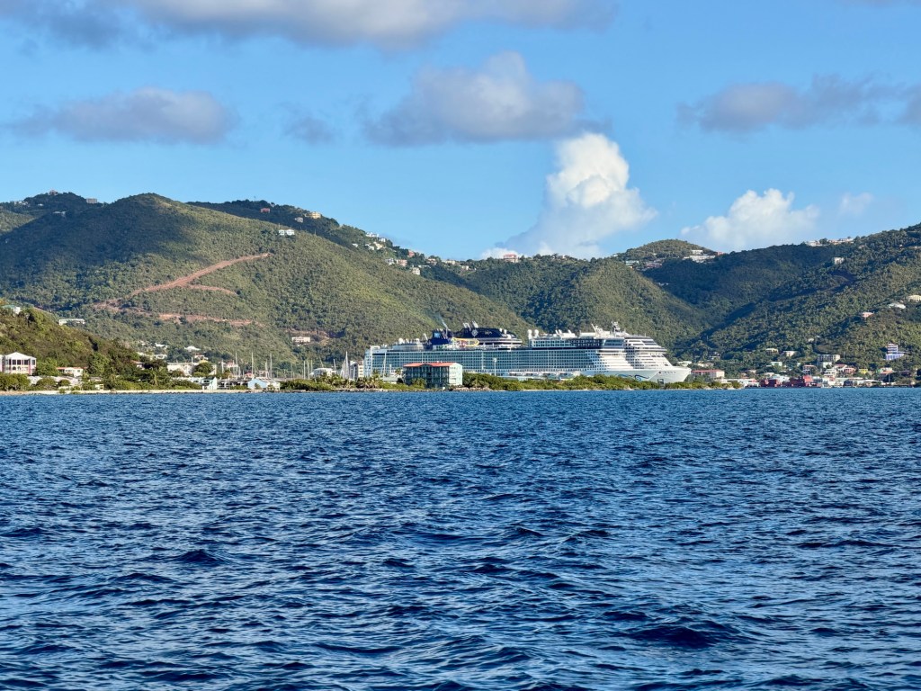
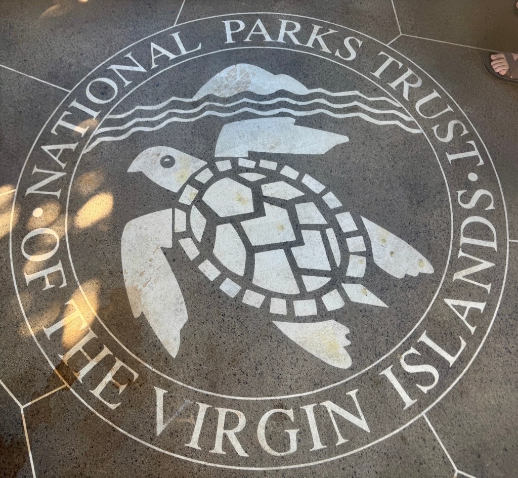
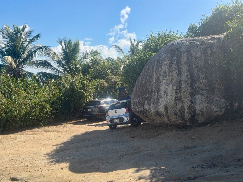
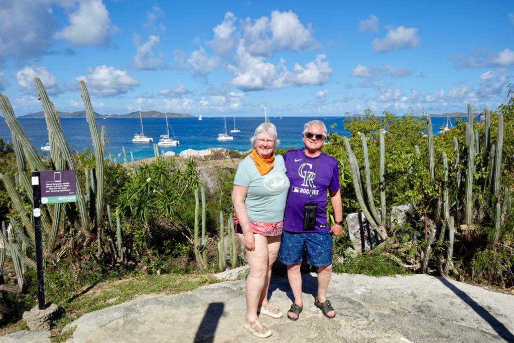
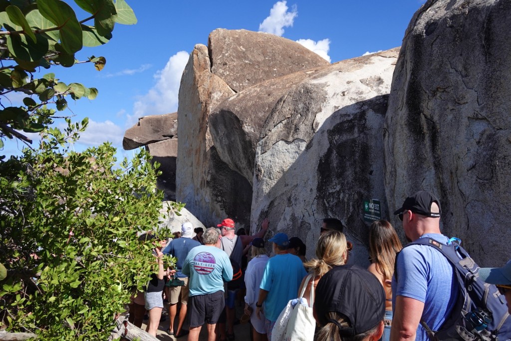
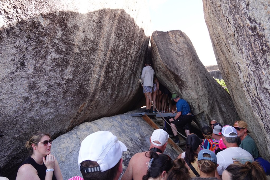
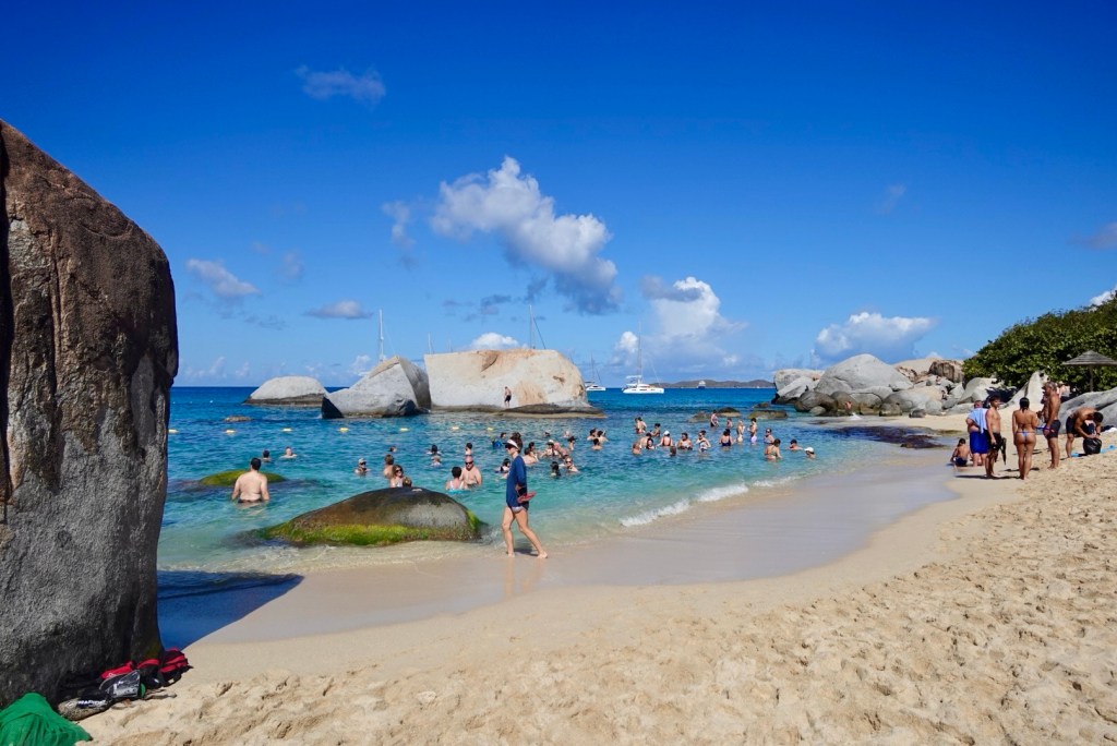
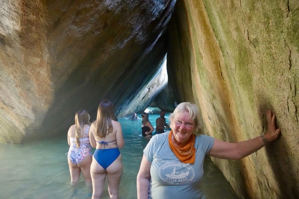
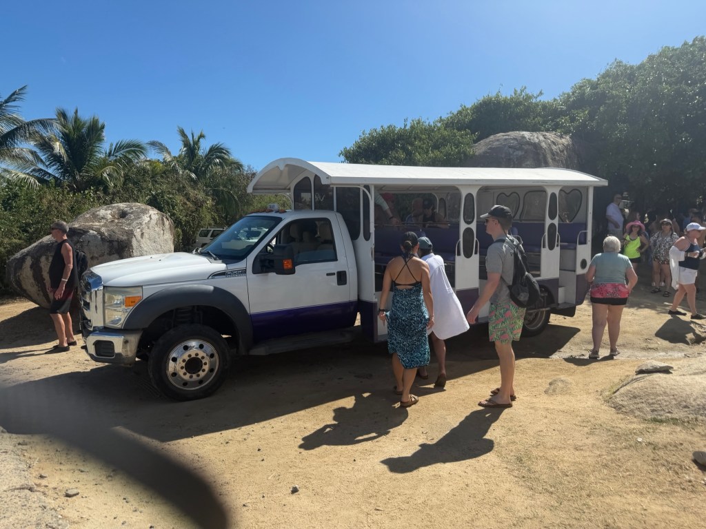
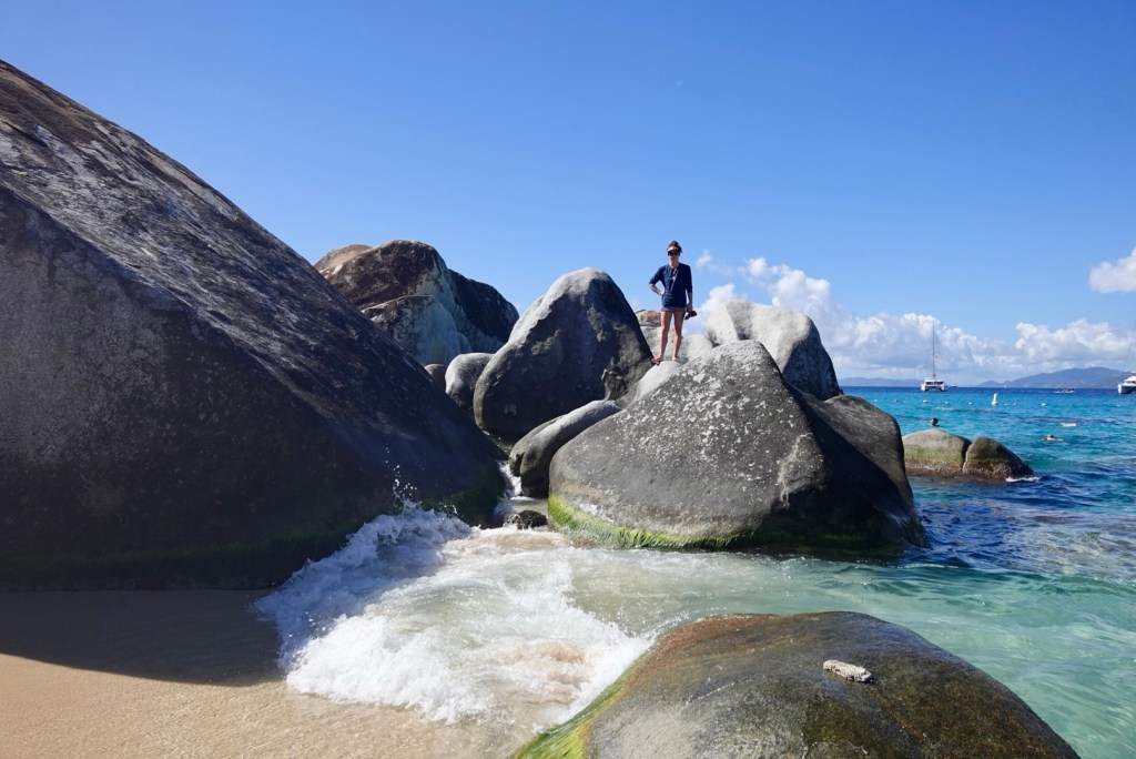
When we got to Virgin Gorda, the captain handled immigration while we put our shoes back on for our visit to the Greater Baths National Park. A taxi drove us to the start of the famous trail through an astonishing jumble of gigantic granite boulders and curved slabs that make up this path through the park.
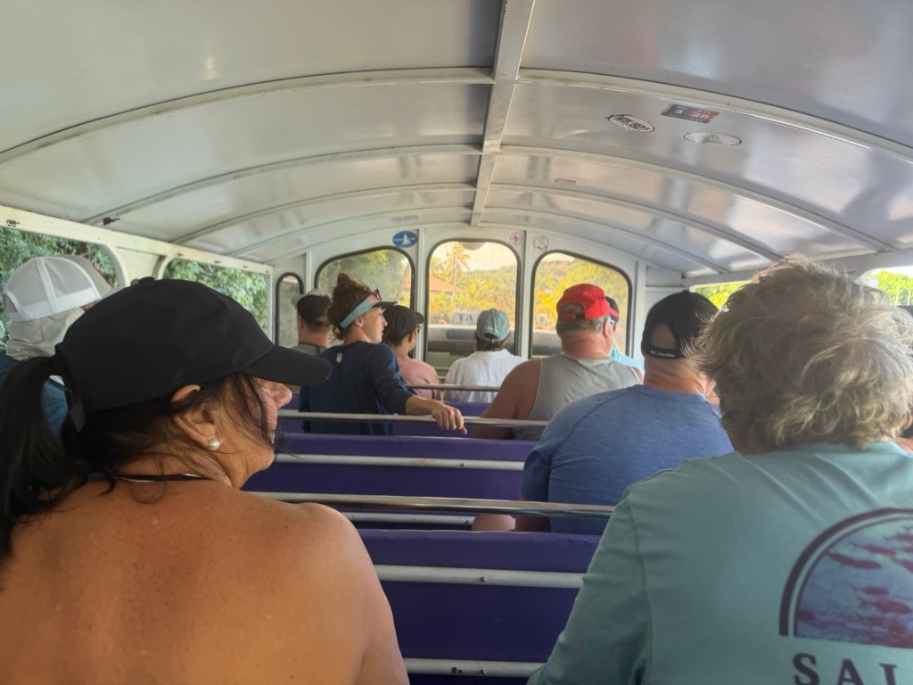
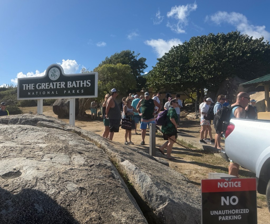
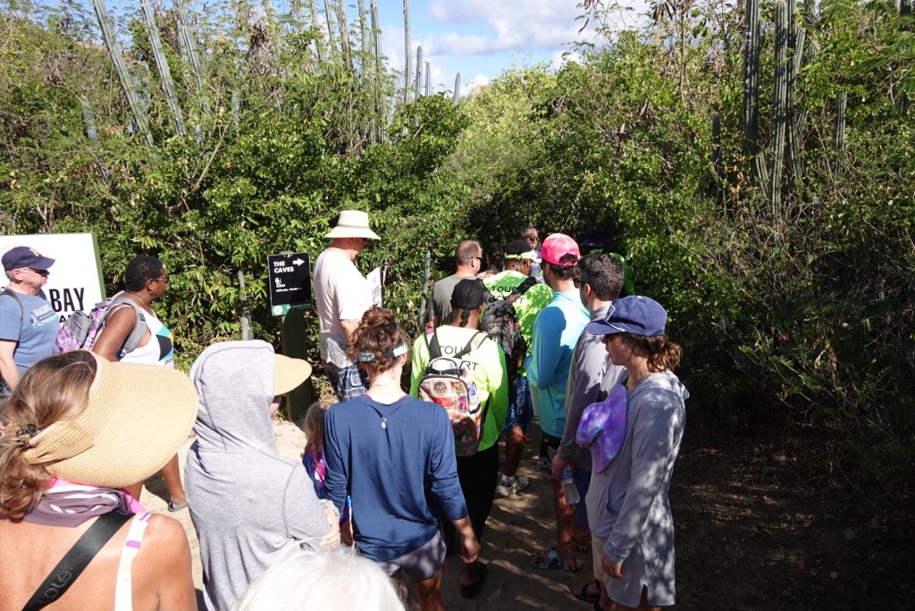
The trail started along a sandy walkway headed toward the beach. Lots of people were walking. A couple of places we got stuck behind a crowd, when someone ahead got stuck or scared and tried to turn back, but this is a narrow, one-way trail.
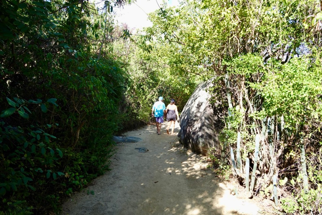
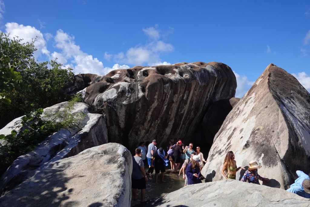
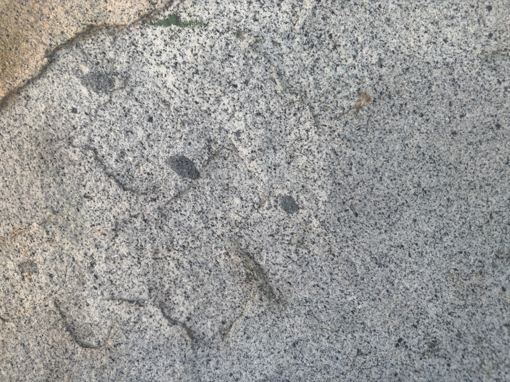
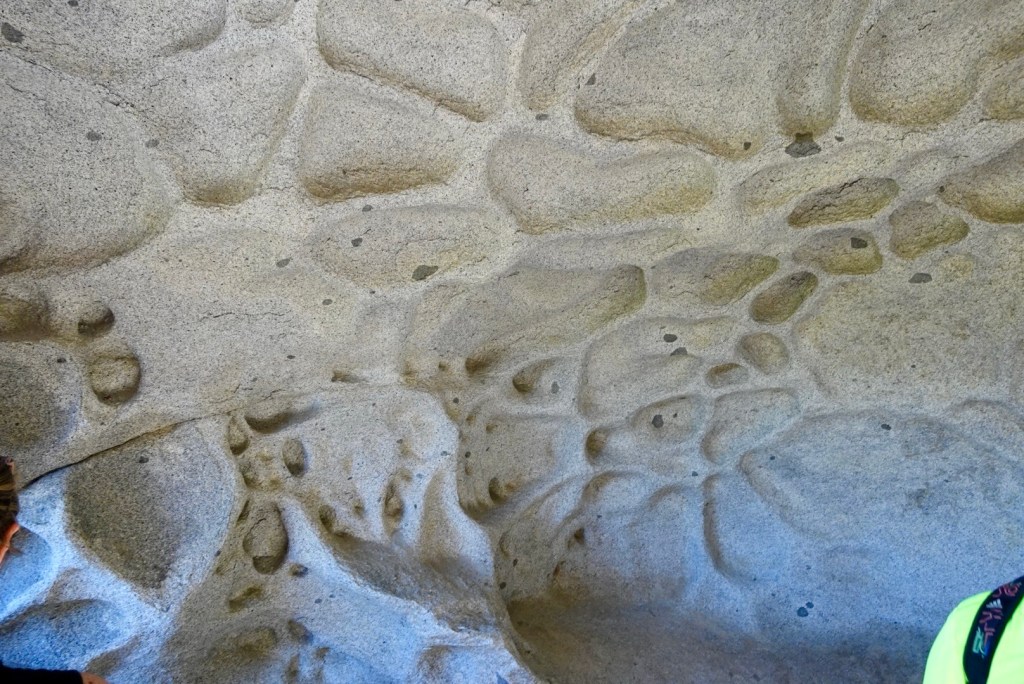
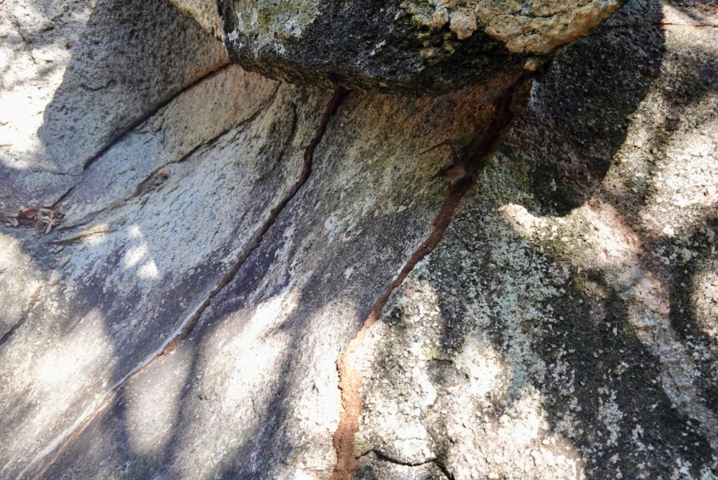
The crowds gave us a chance to study the boulders and evolve a hypothesis of how they developed into this unusual presentation. Deep seated magma (from the garnets) and fairly quick uplift caused widely spaced joints to form. The joints allowed water to erode the edges causing large scale exfoliation similar to the domes in Yosemite. The thick slabs of exfoliated granite fell away from their well rounded surfaces, landing at random angles. Quite unique! We felt lucky to experience these rocks at this precise stage of development.
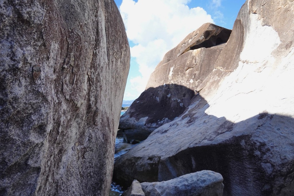
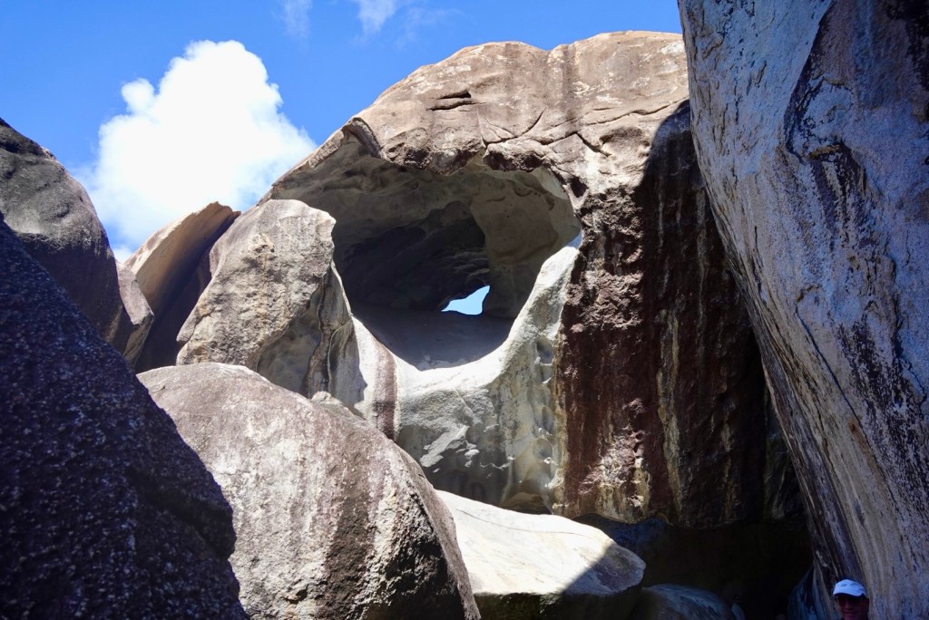
The trail was tight in some places, but open to the beach in others. I feel like we would have spent much more time exploring if fewer people were around.
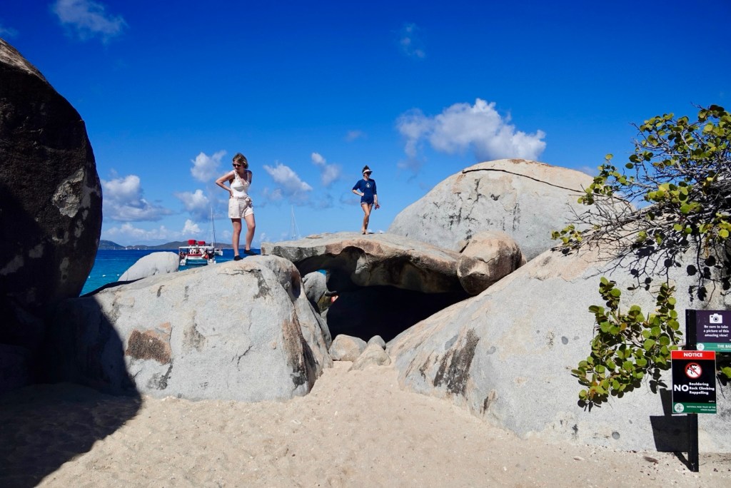
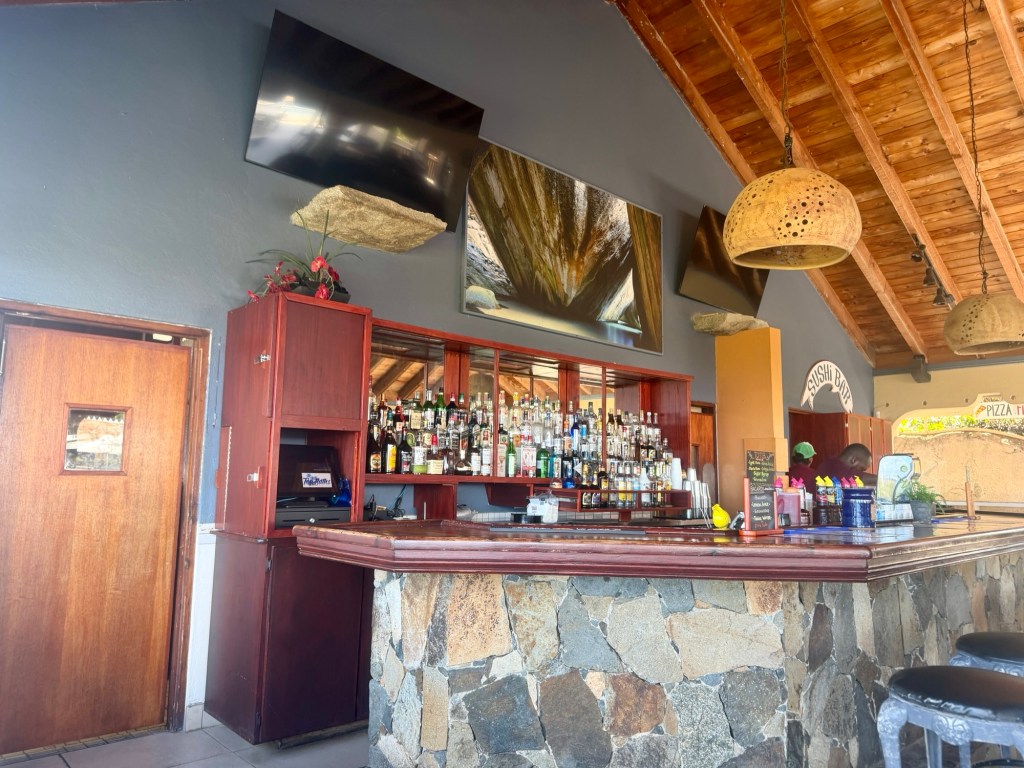
After the excitement of the trail through the Baths, we had a quick lunch at a restaurant at The Top of the Baths. We had put in our orders before we arrived.
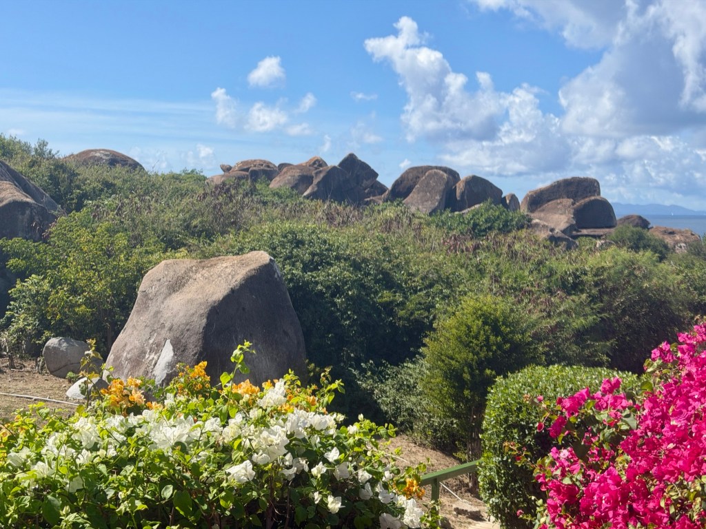
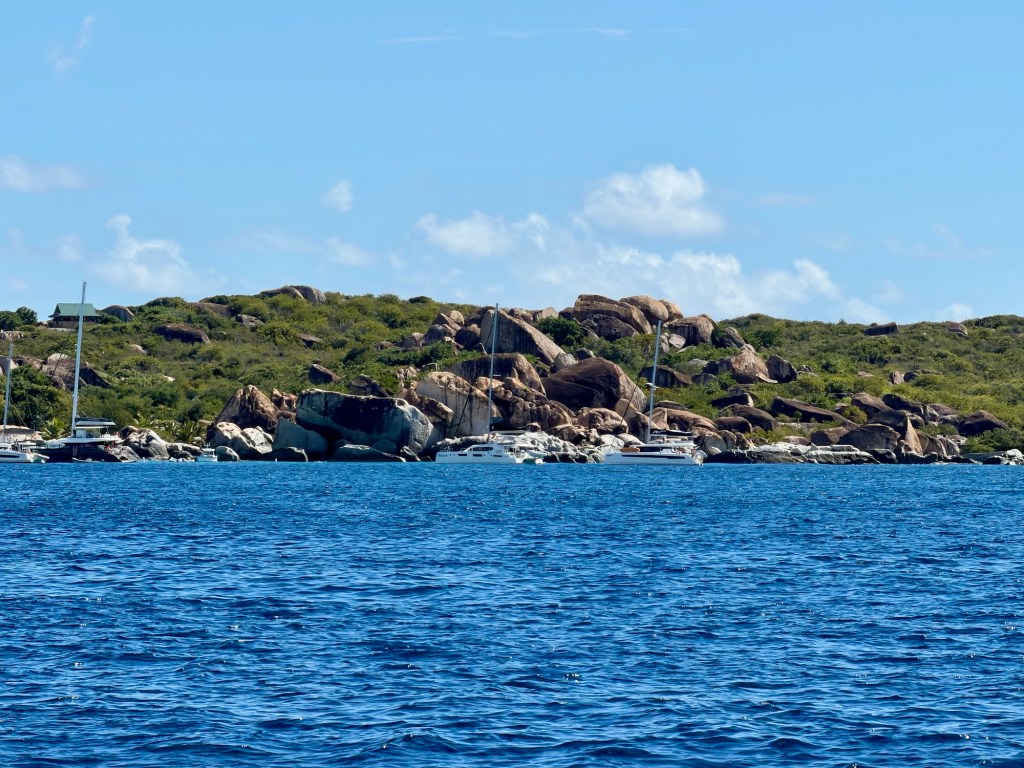
Last view of the rocky shoreline of Virgin Gorda

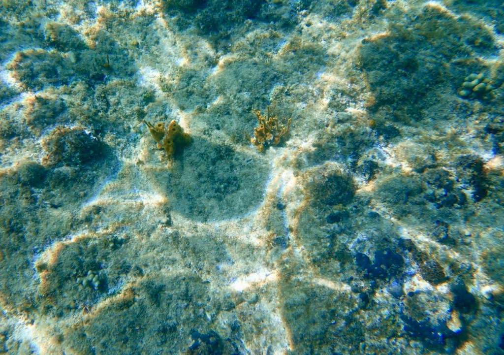
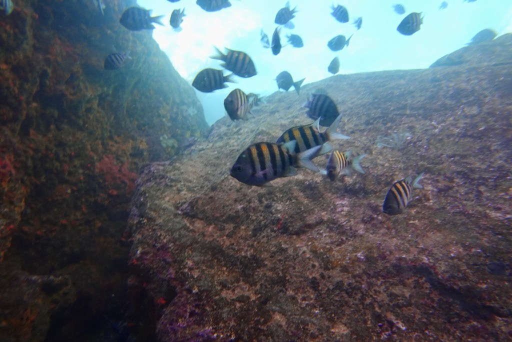
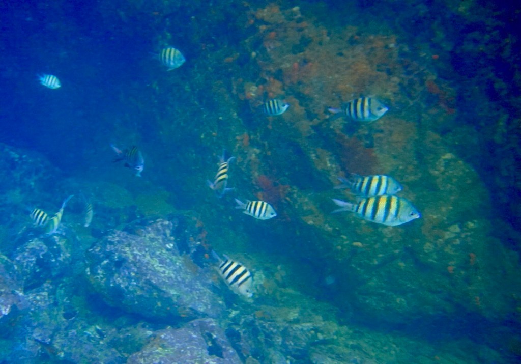
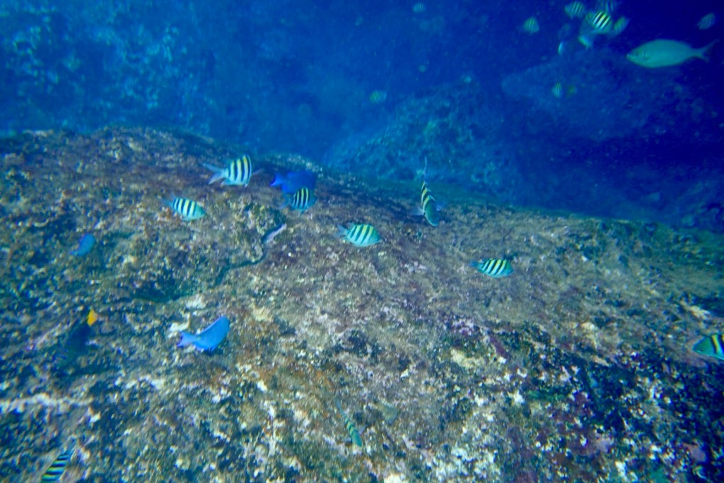
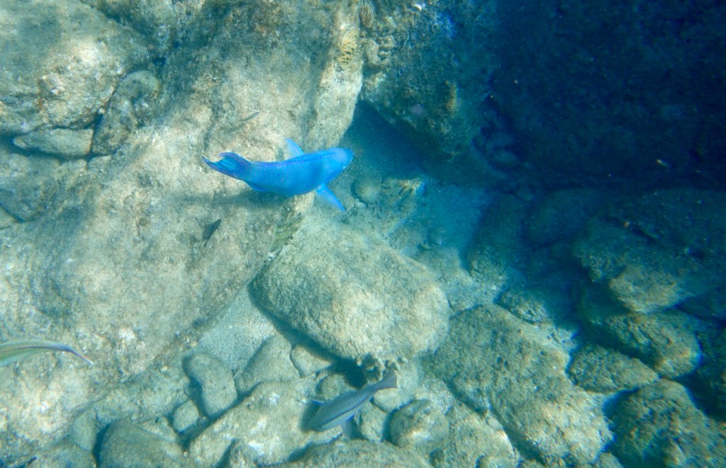
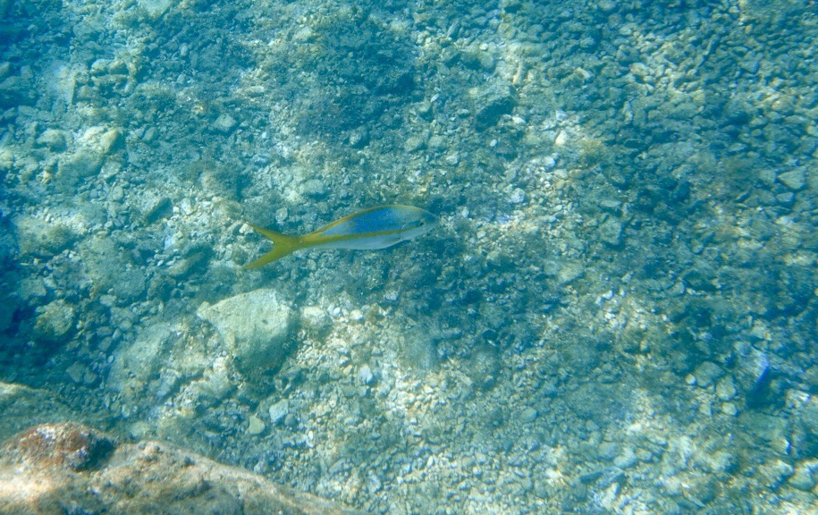
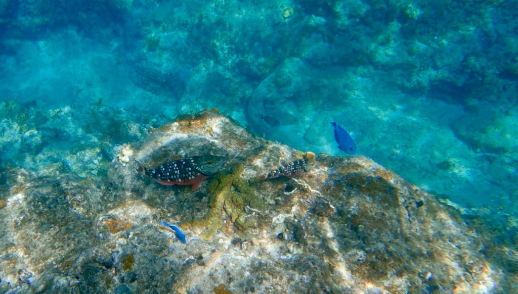
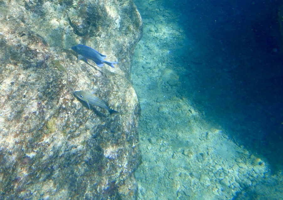
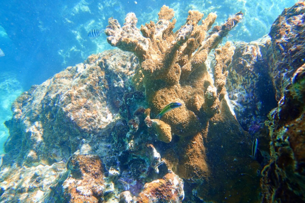
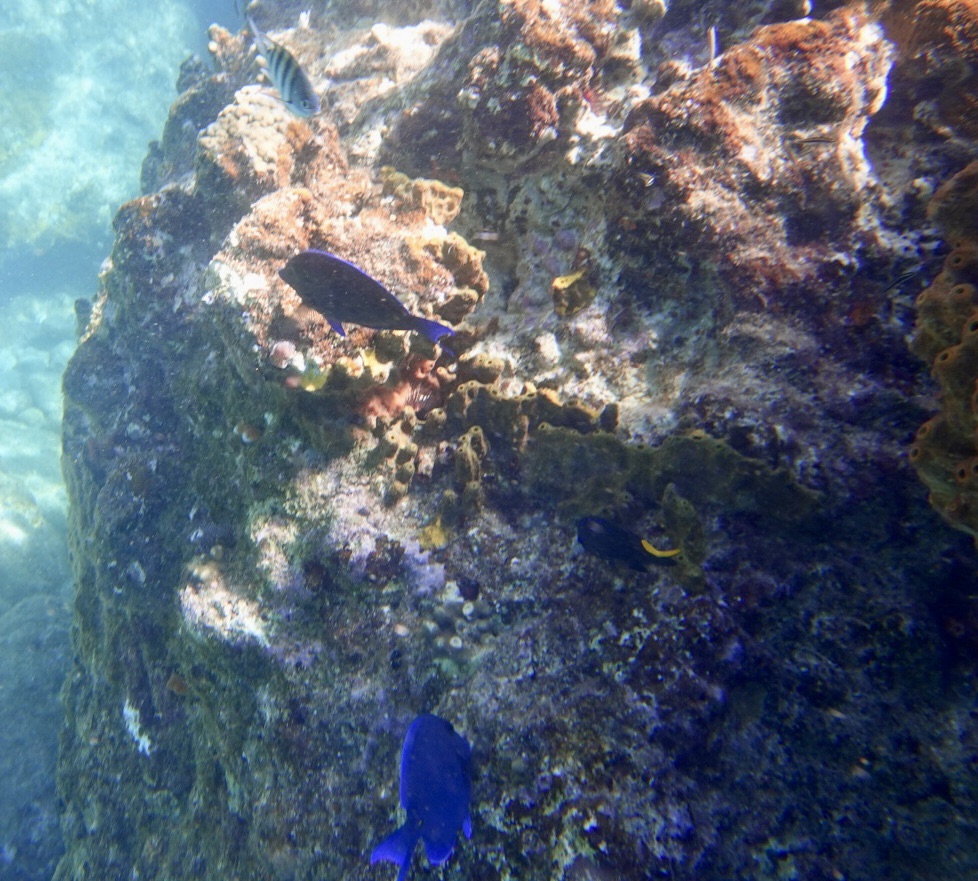
The boat ride to Norman Island was smooth and easy again. Other boats were anchored where we were headed for the best view of sea life. This island was the inspiration for Robert Louis Stevenson’s novel “Treasure Island.”
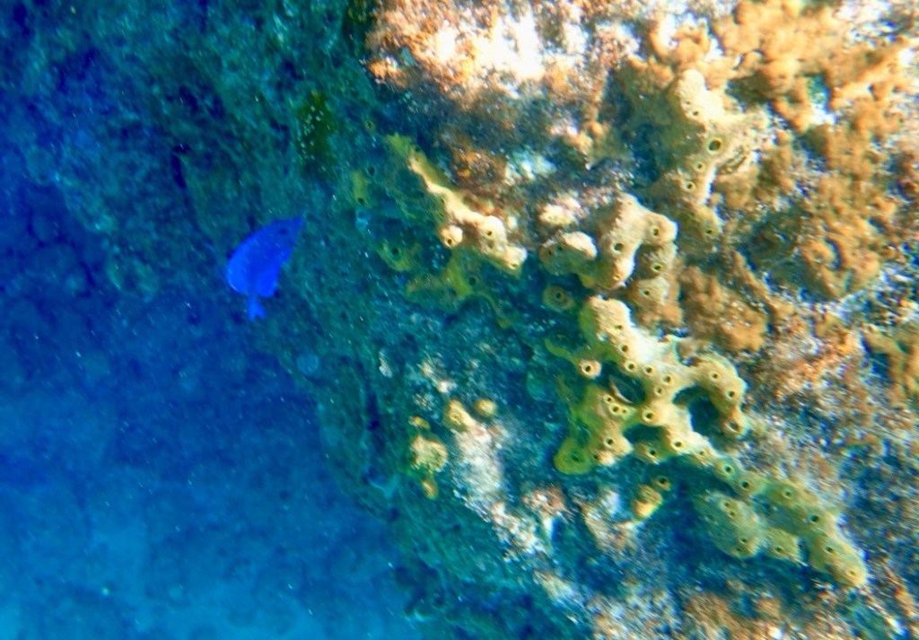
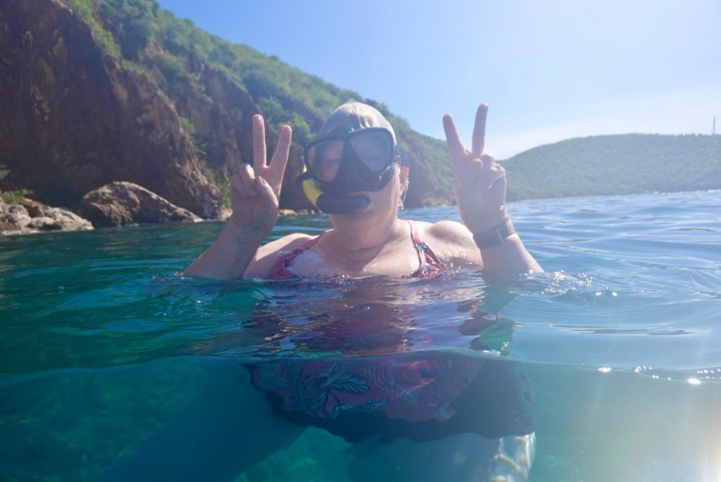
Some goofy person hoping for peace in the world
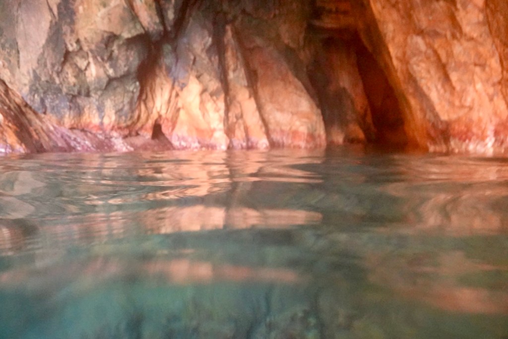
The back of one of the caves

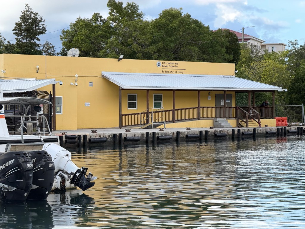
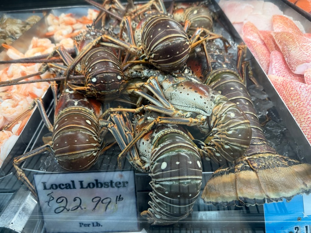
We asked the captain to drop us off at U.S. Immigration in Cruz Bay rather than at the Westin Resort. This enabled us to find drinks at a bar before going to dinner at a nice restaurant where Clare tried to eat a 2-pound Caribbean lobster!
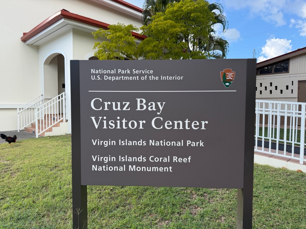
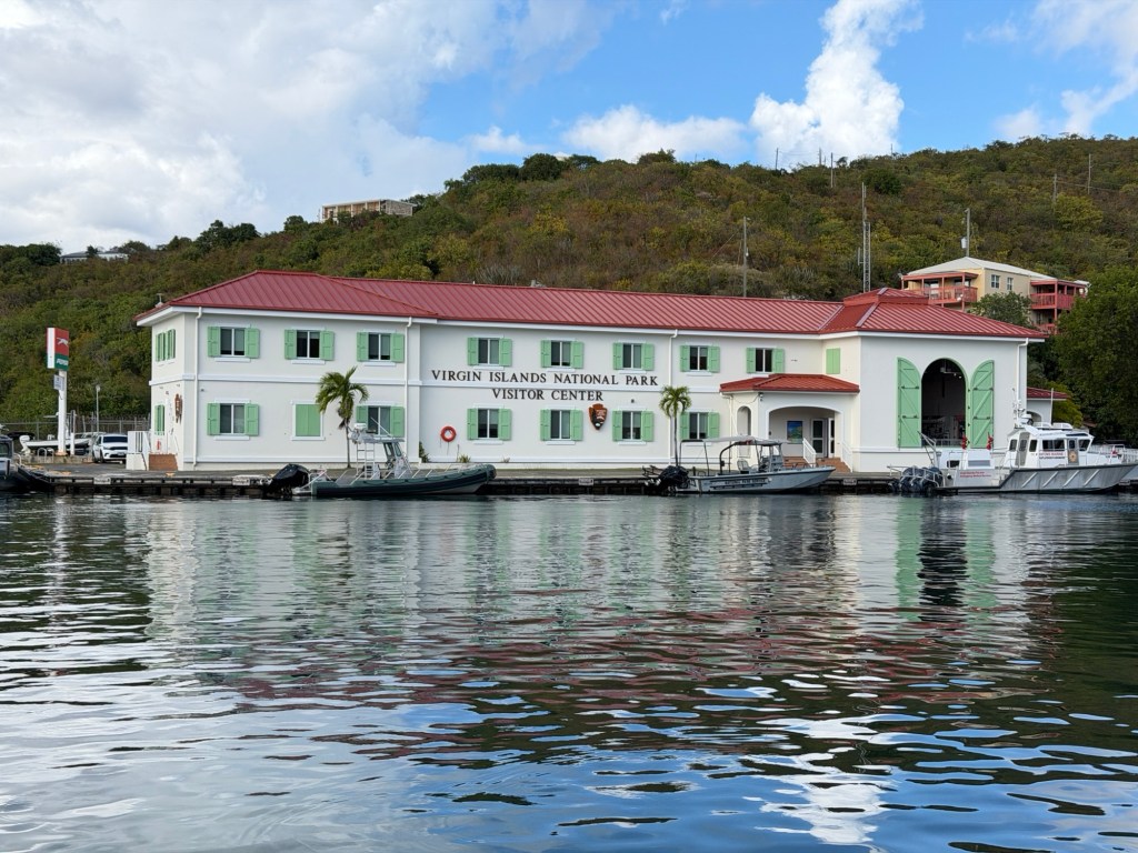
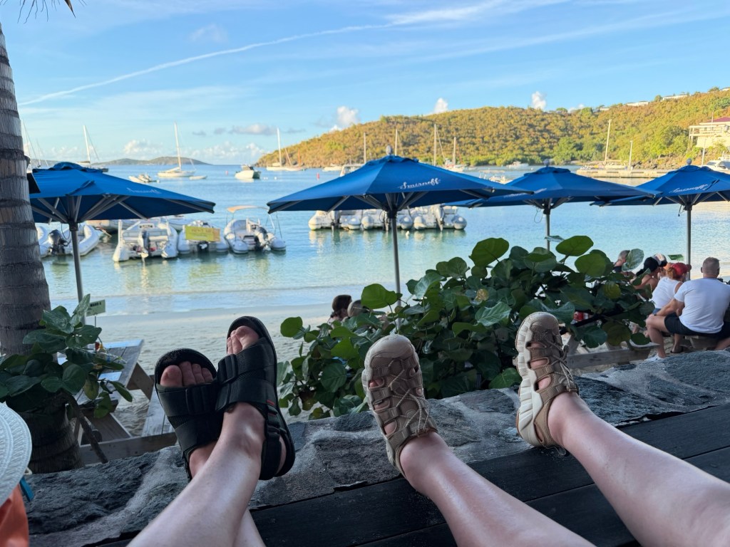
Hanging out at the Beach Bar in Cruz Bay
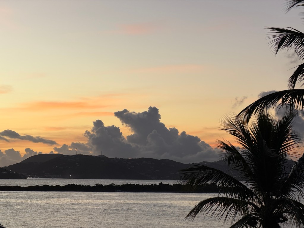
Sunset from Ocean 362 restaurant

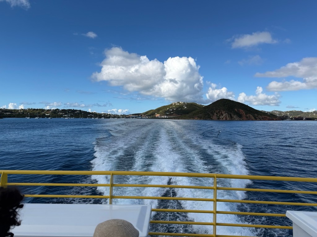
From St. Thomas to St. John

From Doubting to Baptism? With St. Croix next? What does it mean?

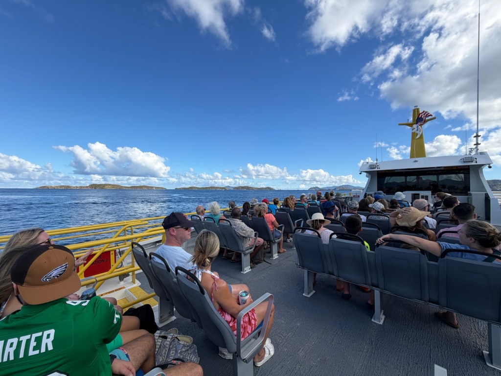
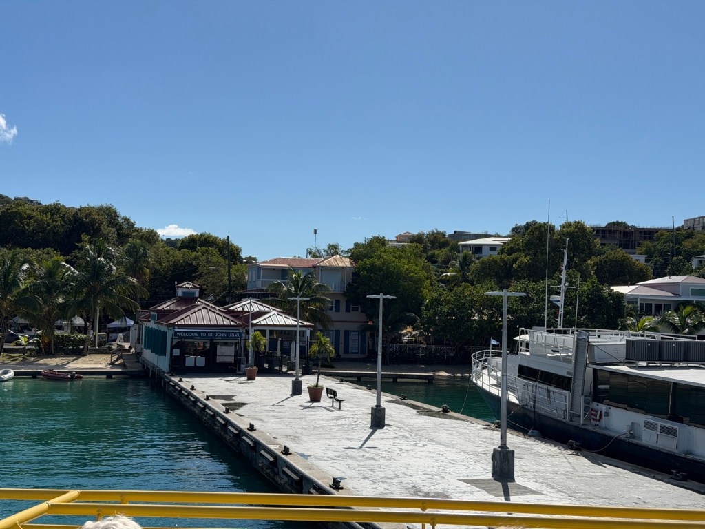
After packing up for the next island, we took a taxi then a ferry to our destination. The ferry ride was quick — about 15 minutes.

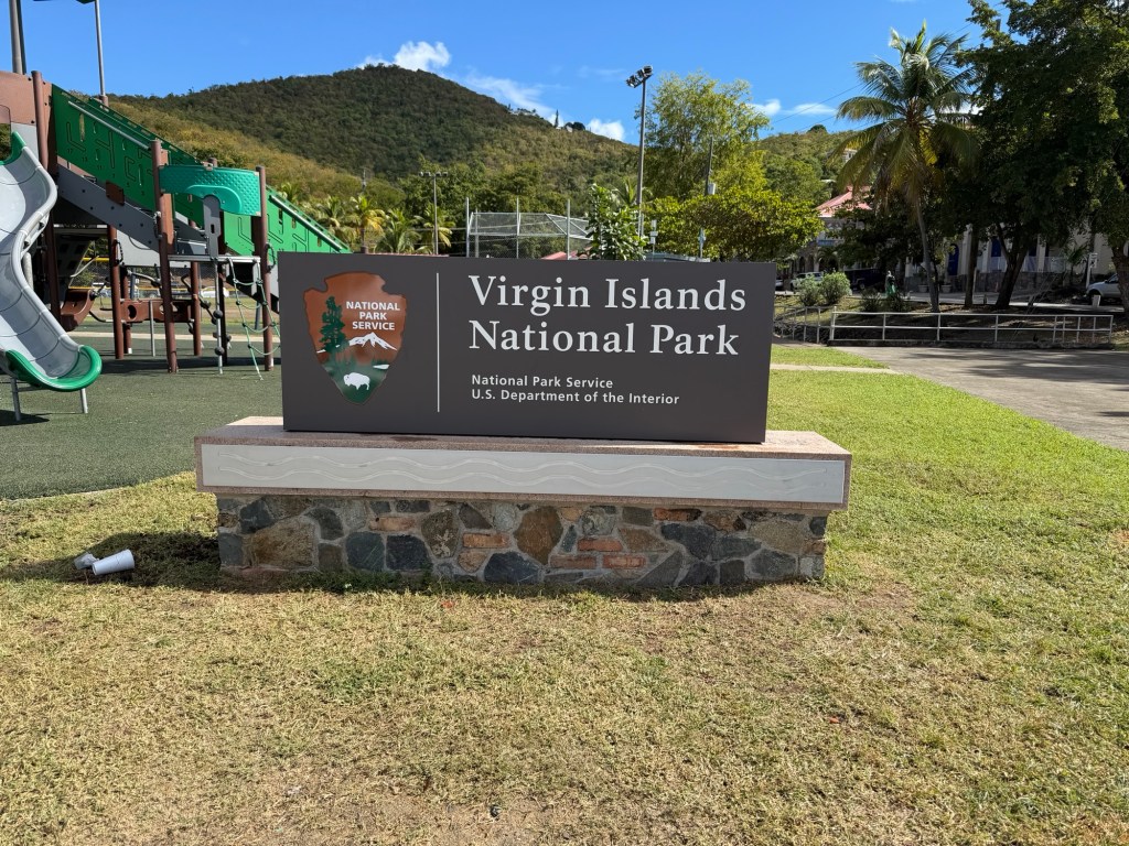
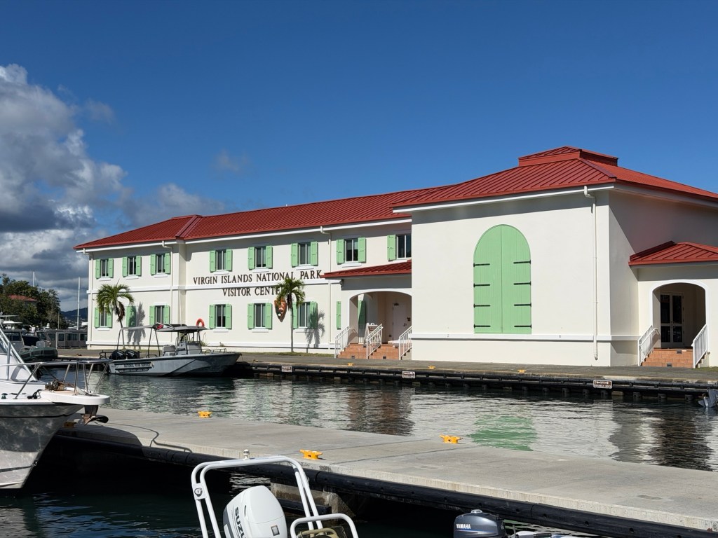
When we got off, we hauled our luggage to the National Park Headquarters, but it was closed on Sundays. So we found a grocery store. Our new accommodation was about a mile from there.

Wow! Big Caribbean lobsters
St. John Island is very steep, so the planned mile walk up the hill was arduous, at eighty degrees and eighty percent humidity. Luckily, two young gentlemen offered us a ride! Brian didn’t want to accept, but they convinced us, so we hopped in their car. Smart move! And such kindness. They didn’t even want any money for helping us out.

Next, we hired a guide to take us around the island. Jenn was great! She stopped wherever we asked.

We spent three wonderful hours listening to Jenn, learning about her favorite place. She moved here about 15 years before, thinking to stay about a year, but she never left. Now she has a family.

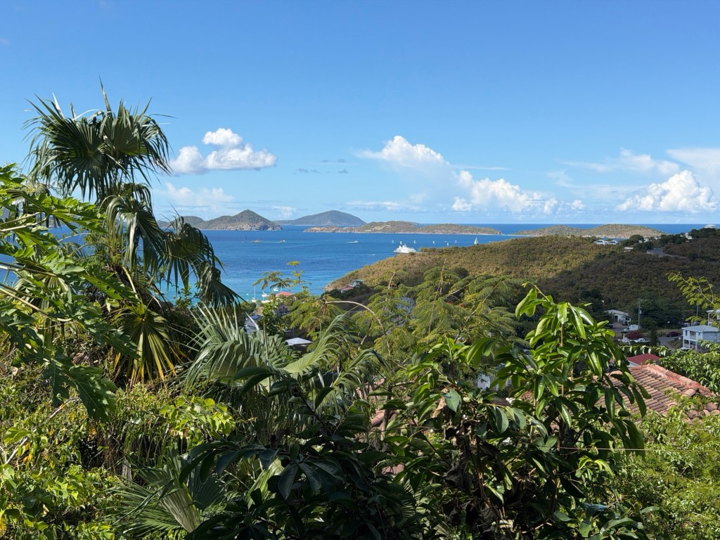
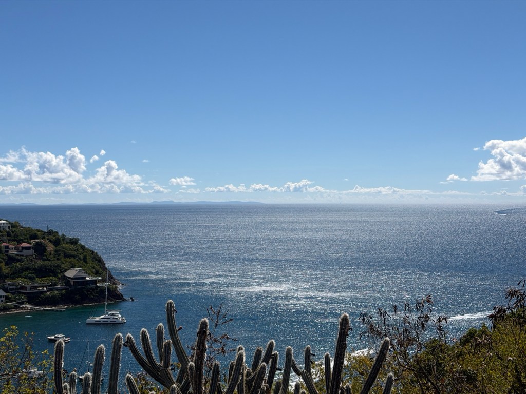
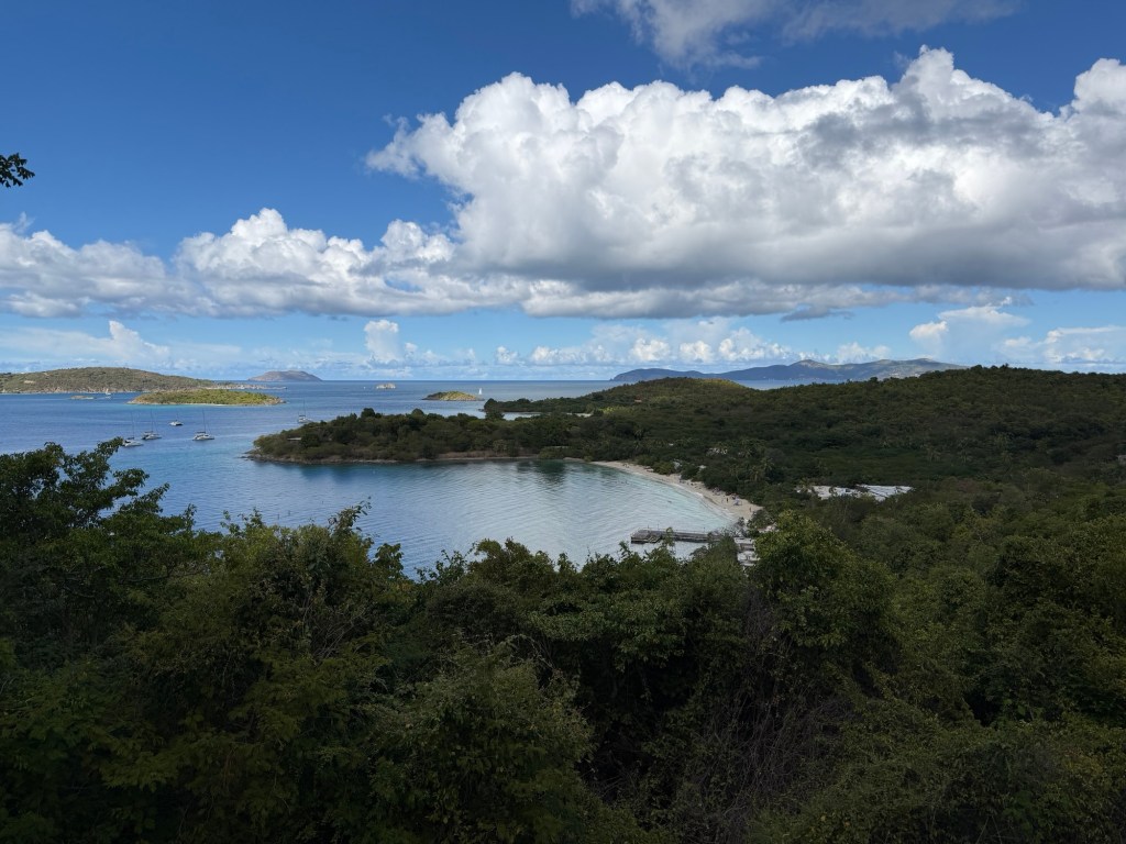
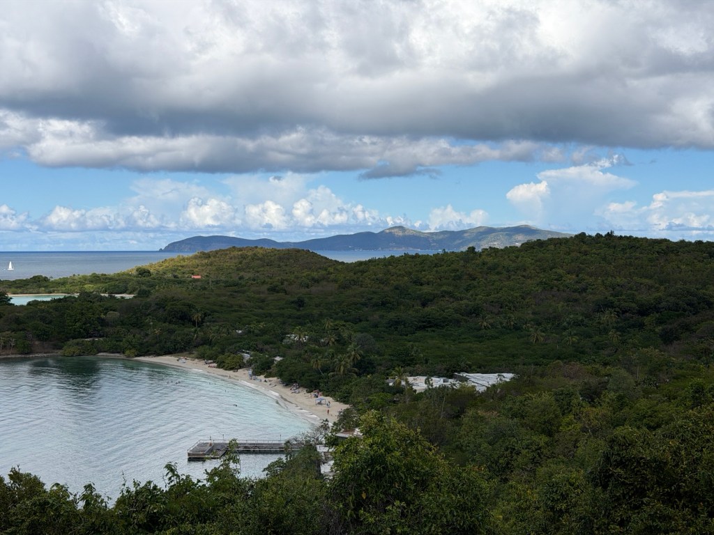
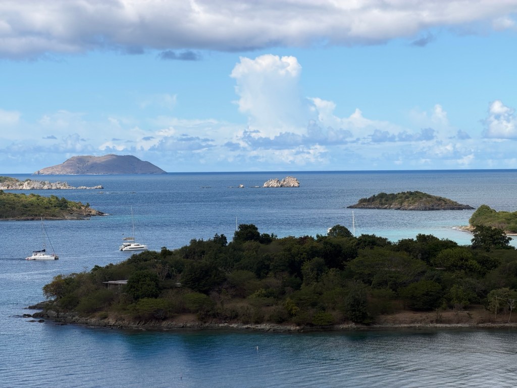
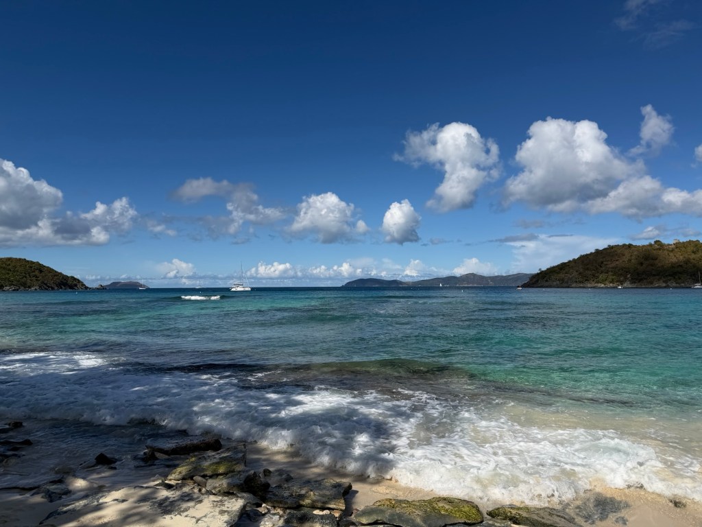
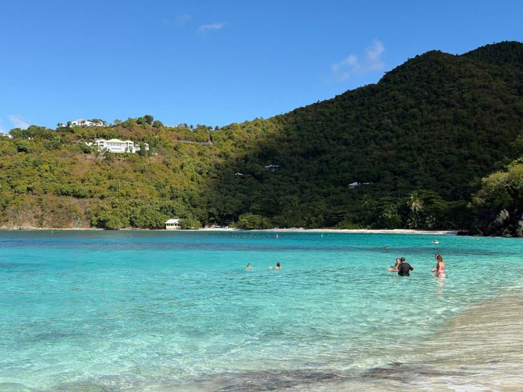
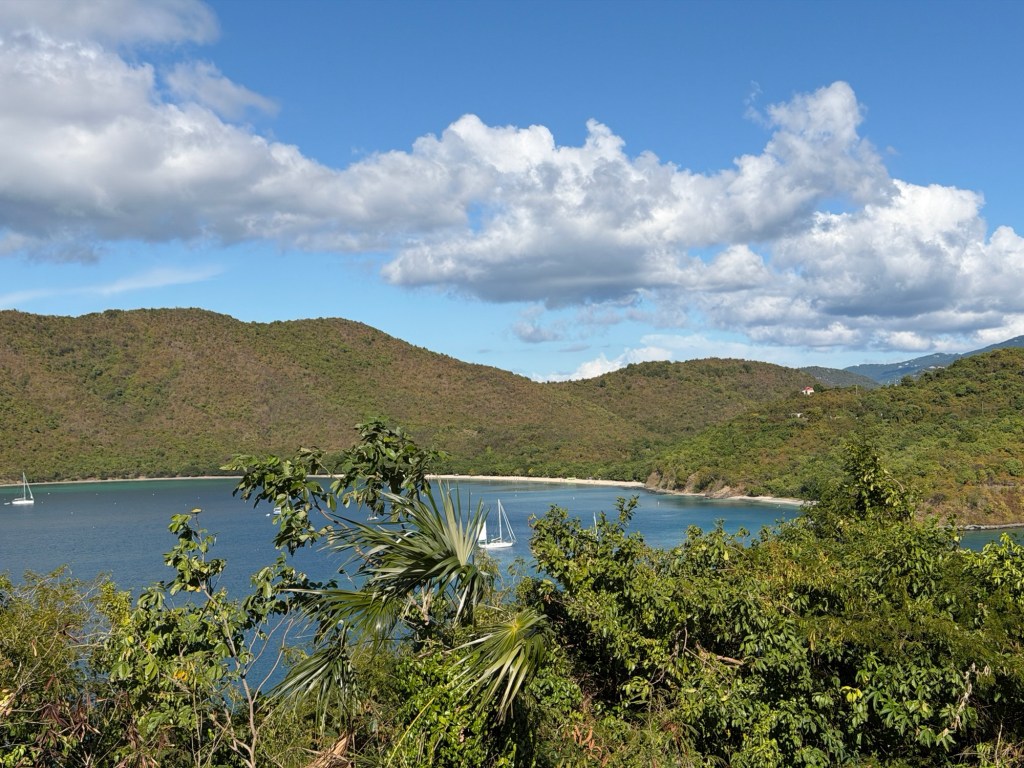
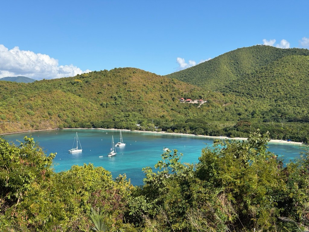
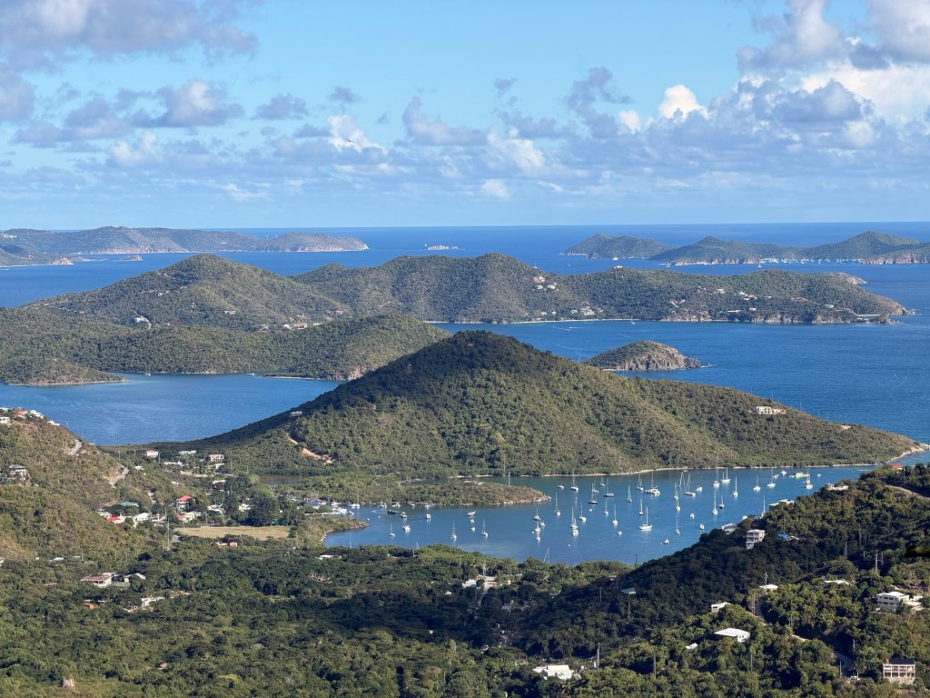
So many beautiful coves on this island! The steep terrain enhances the sights.

We got out of Jenn’s car often to see her favorite views. Jenn referred to Caneel Bay Resort as a Jurassic Park scene, with the abandoned buildings on a remote island. In 1956, Laurance Rockefeller opened this eco-friendly resort and purchased thousands of acres of the surrounding land which later became Virgin Islands National Park. The resort operated under a lease from the park until 2017.

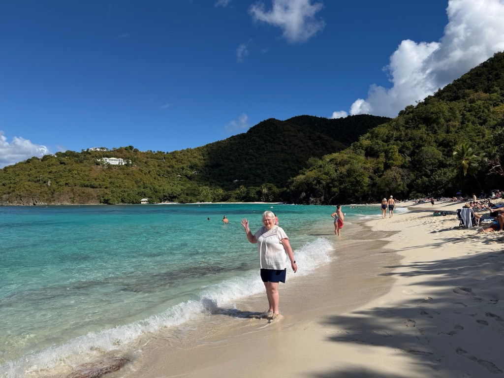
We even walked down to a few beaches.

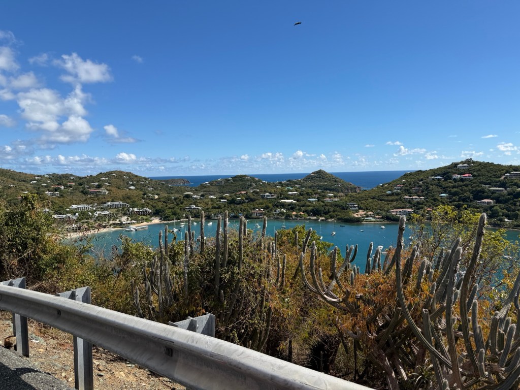
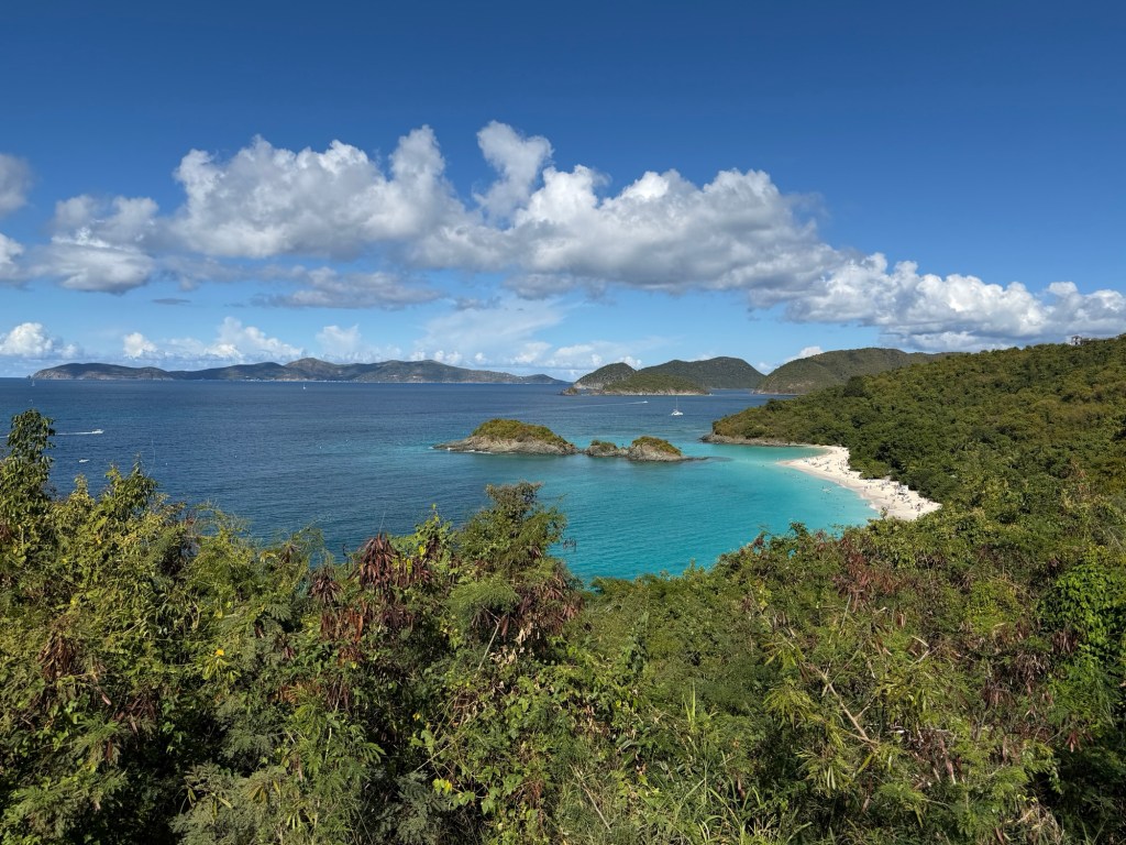
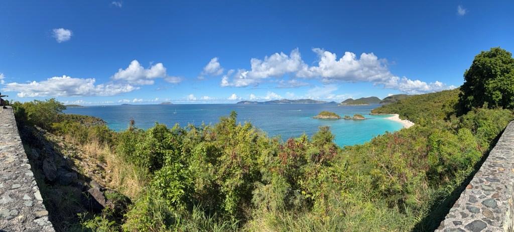
Panorama overlooking Trunk Bay

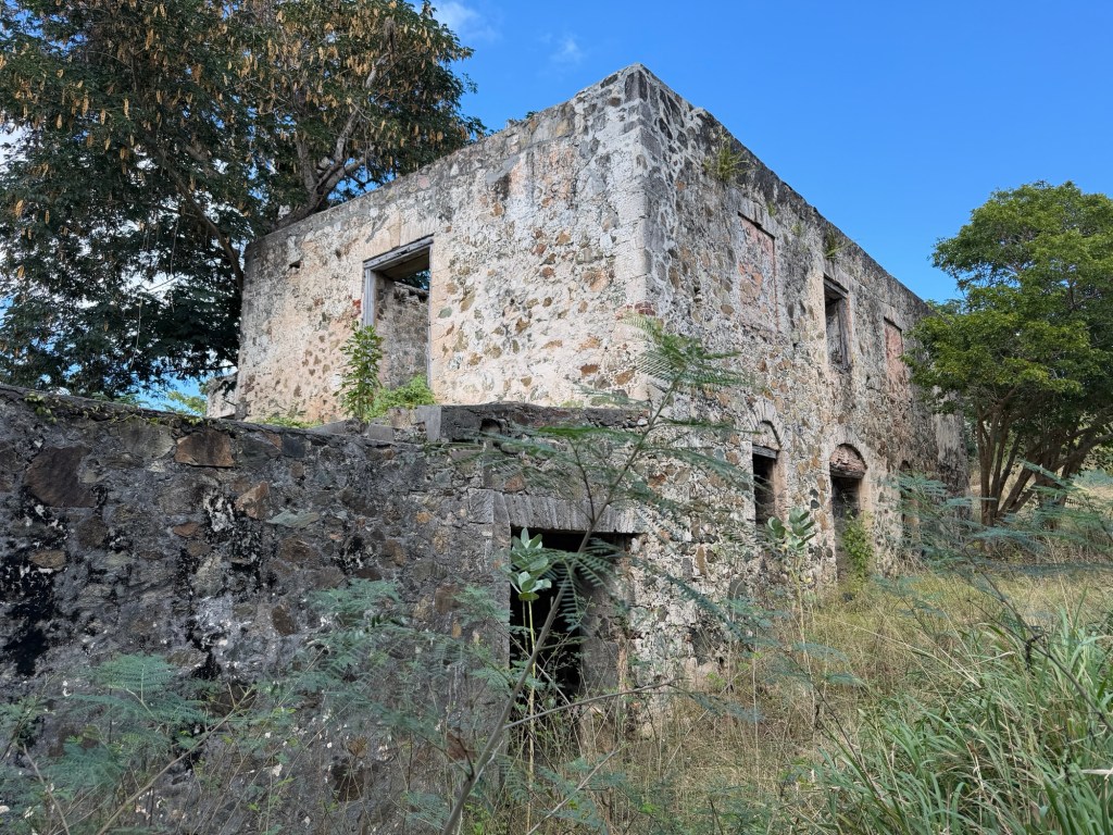
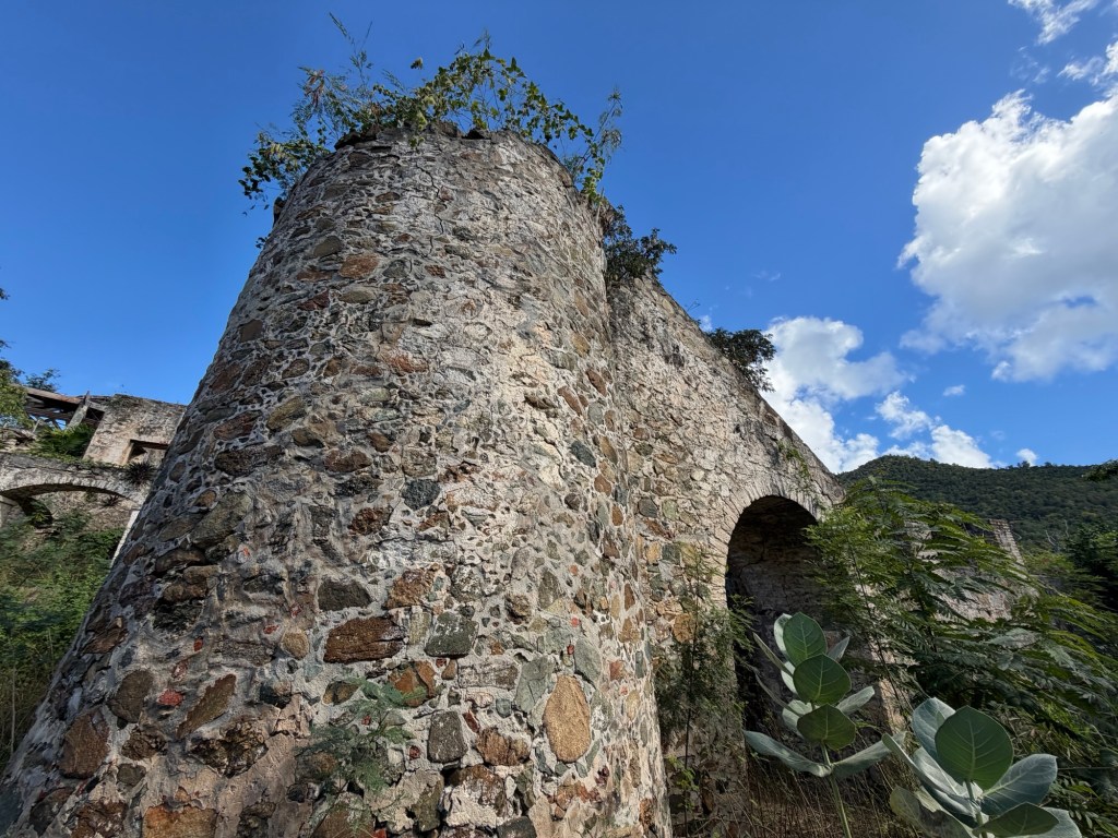
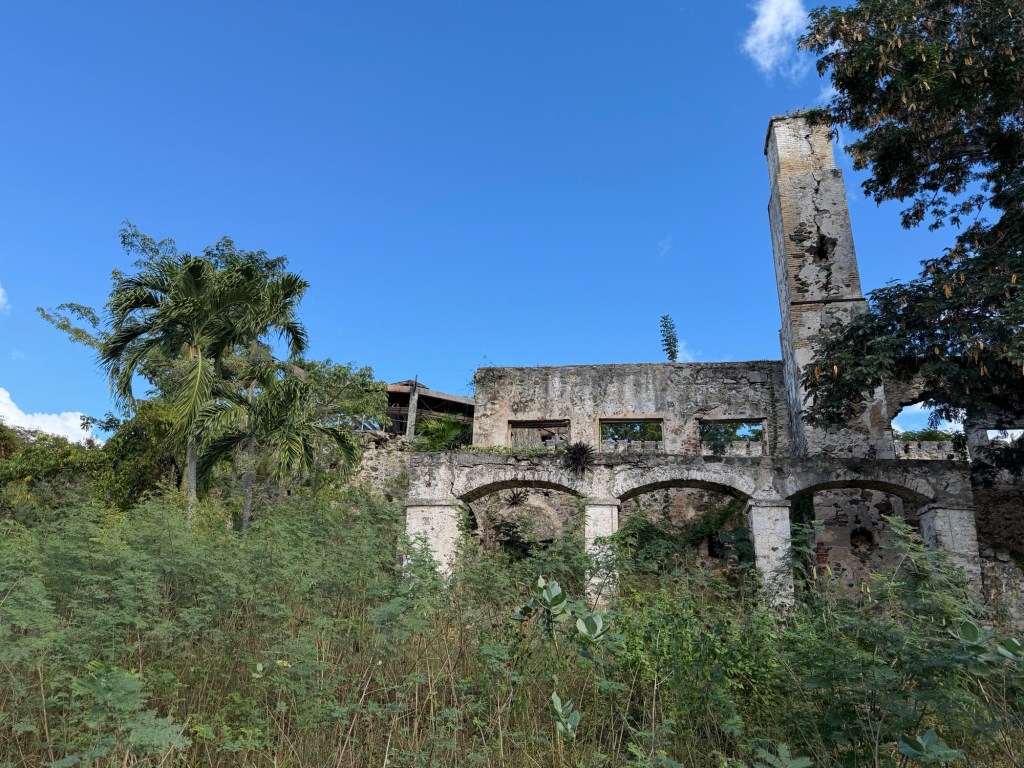
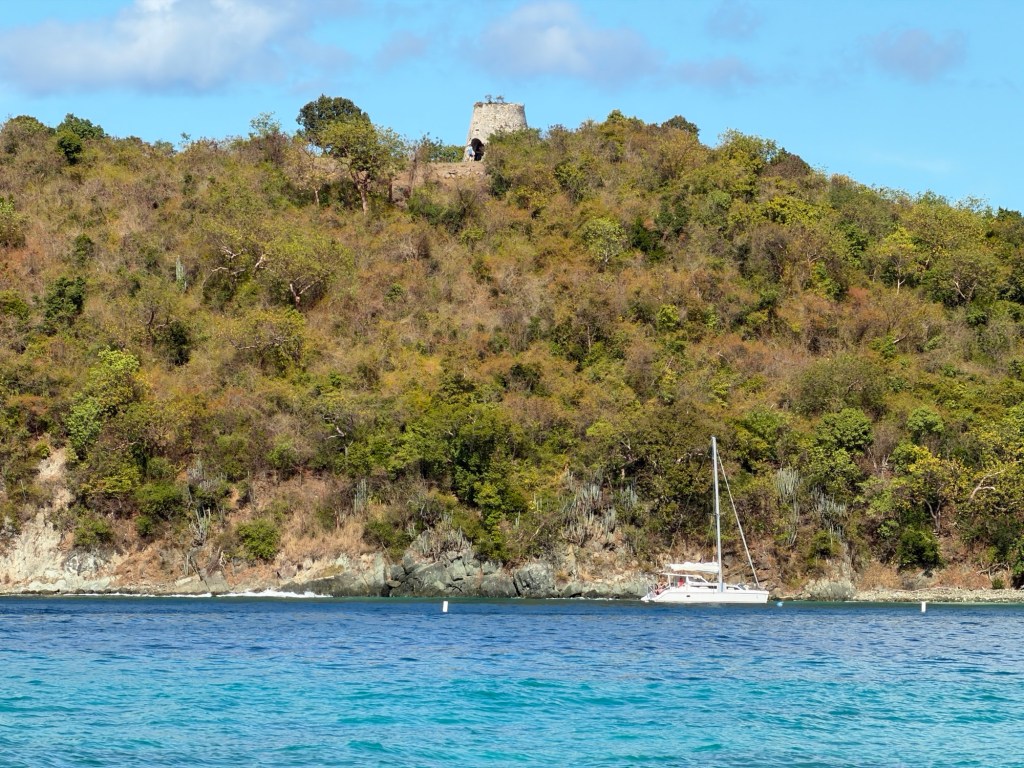
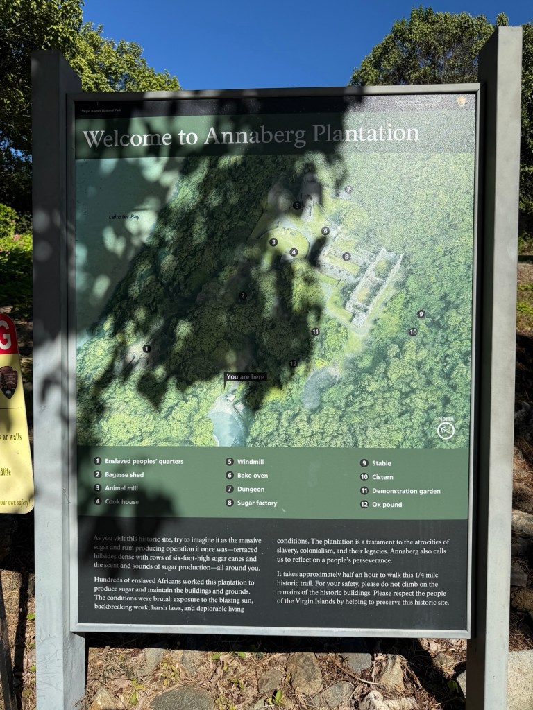
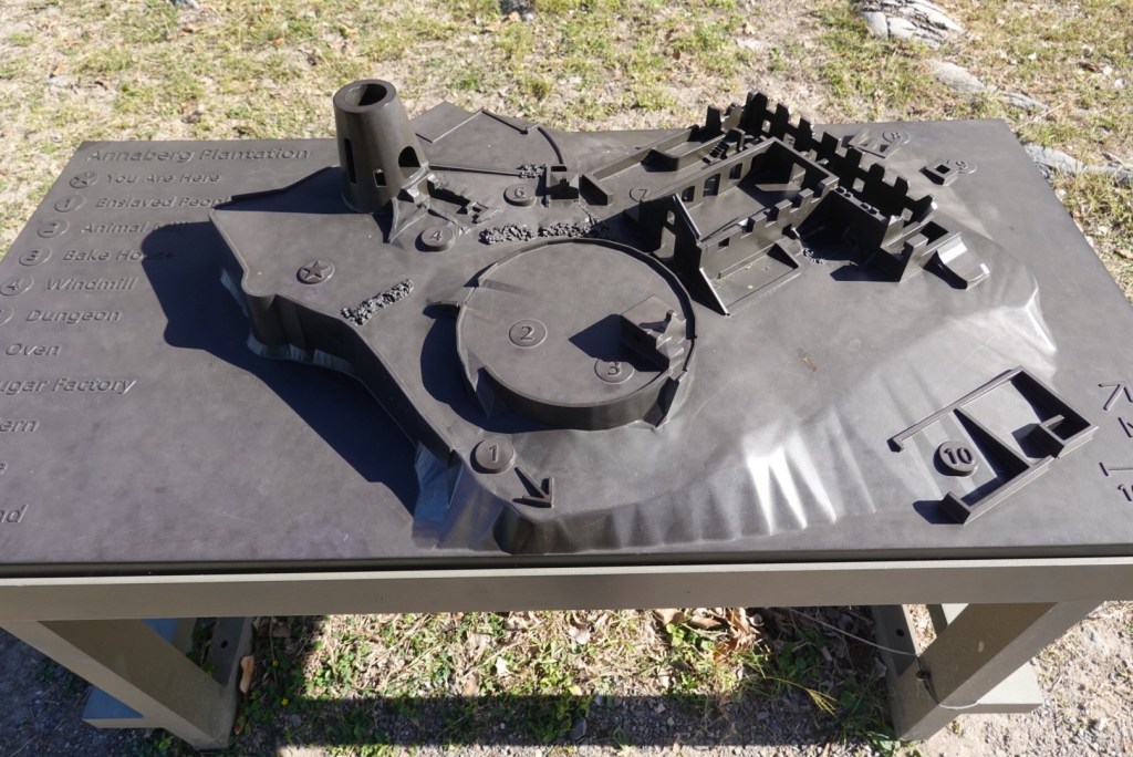
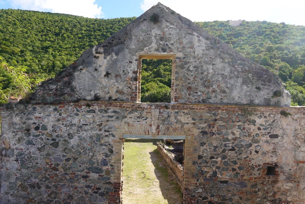
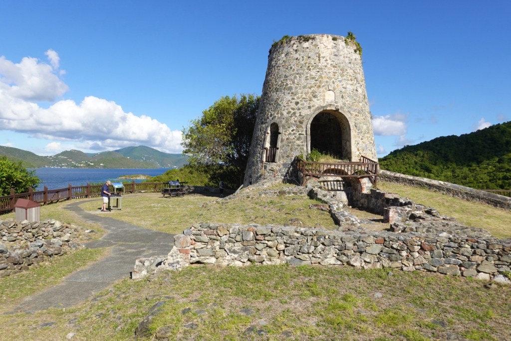
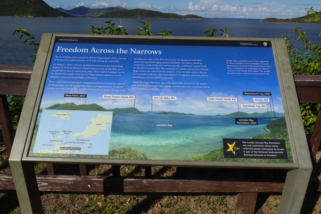
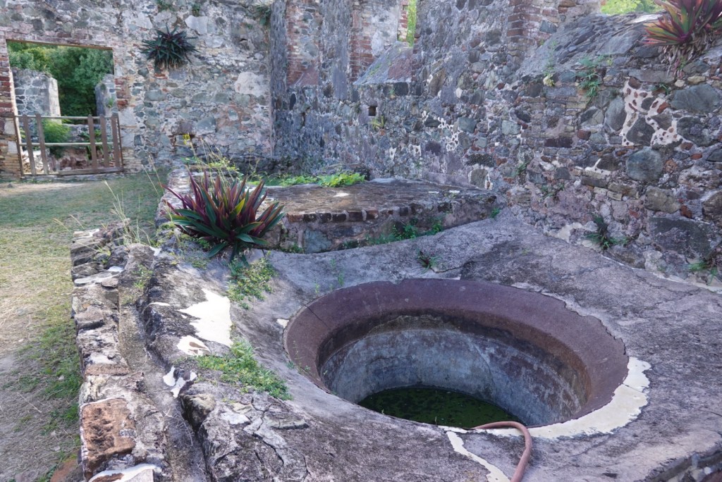
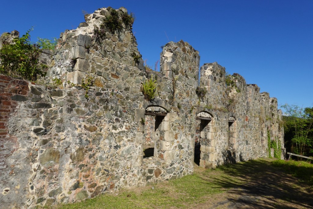
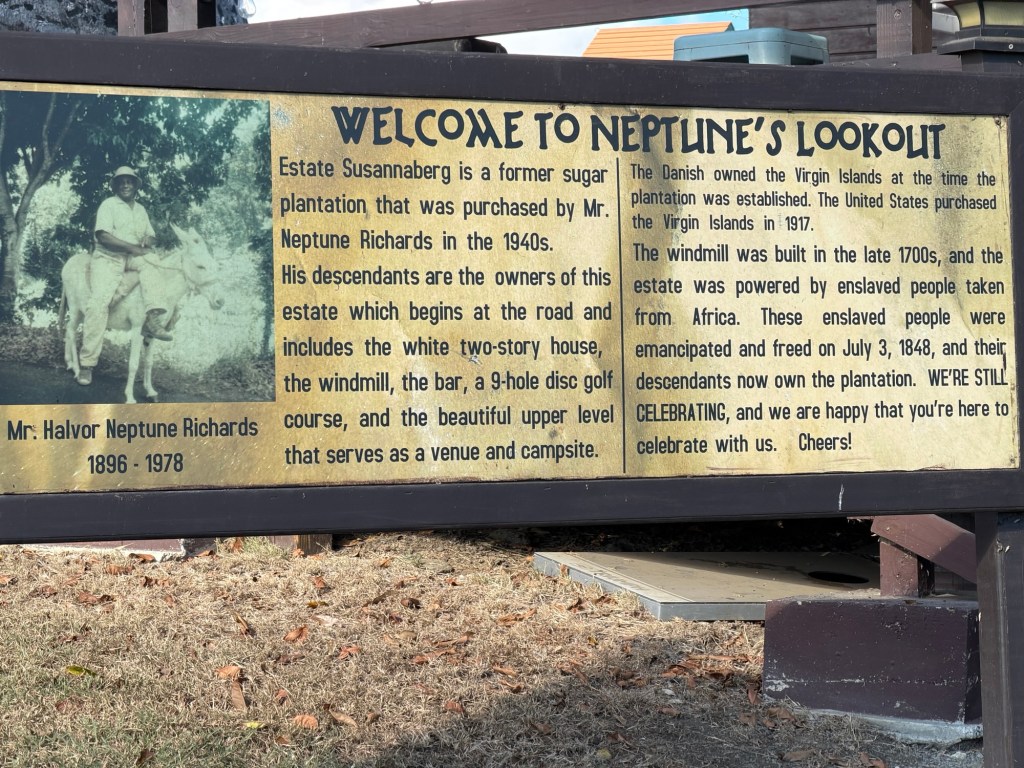
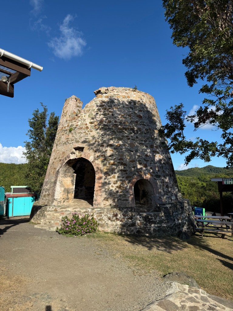
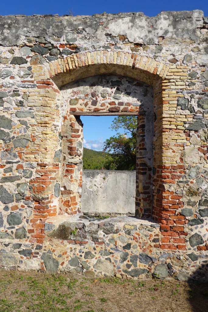
Jenn let us out at a sugar mill ruin which had informational signs and maps. She couldn’t come with us because she was parked in a taxi-only zone and had to stay with the car.

The BVI abolished slavery before the Danes, causing many St John slaves to attempt to escape to the nearby British islands.
Coral Bay on the southeast coast
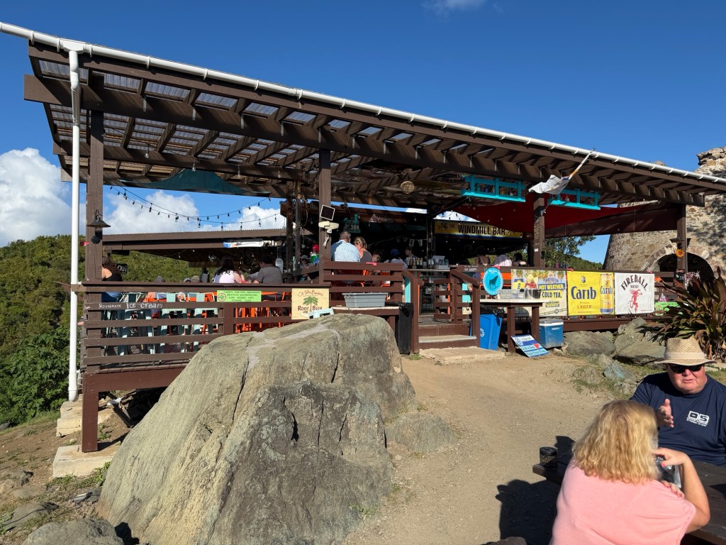
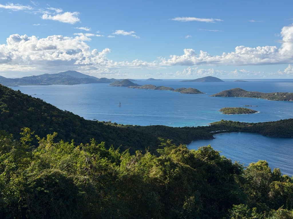
View from Windmill Bar
Great day

Five Rainbow Day in St. Thomas

The last couple of days we didn’t have plans; we were simply exploring. Always fun! Today, however, our plan was kayaking and snorkeling in the Mangrove Lagoon part of the Virgin Islands National Park. The morning started as the others, walk to a restaurant for breakfast, then around to the sea and back to our condo.

Sea Salt restaurant, on Sapphire Beach, where we dined the night before

At the restaurant, we noticed a peninsula adjacent to our beach, which we decided to explore this morning. Geologically fascinating!

Dark iguana matching the rock color

The iguana didn’t move the entire time we were exploring the peninsula.

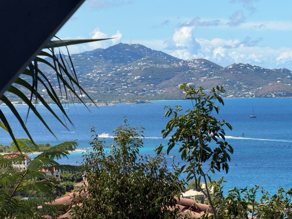
Sapphire Village from across the harbor
Palm trees along the jetty between the harbor and the beach

We wisely found a taxi to get us to the Ecotour that we had booked in the afternoon. No more walking along highways for us.

First, lunch — but not for the iguanas wandering under the tables!

Our group consisted of six people: a couple a little younger than us who each wanted their own kayak, a young strong couple who had never kayaked or snorkeled before, and us. We got a two person kayak.

Ecotours has easy access to the lagoon.

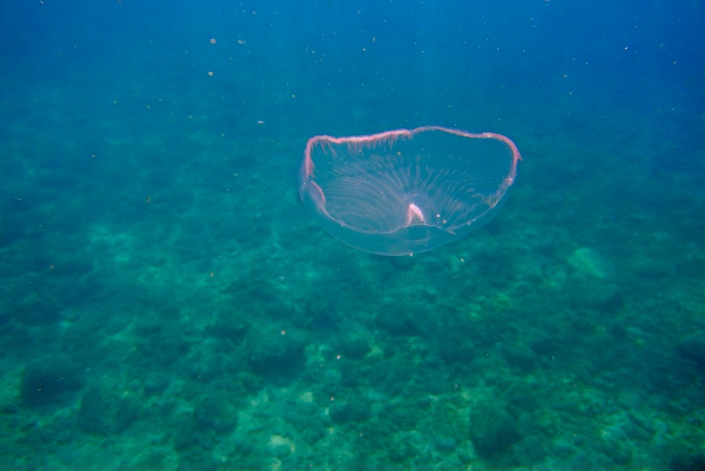
We followed Nash, our guide for the afternoon, out to the mangroves. On the way we saw lots of upside-down jellyfish (Cassopiea) on the seabed. They looked like white rocks at first glance, but when you leaned over, they were obviously not rock.

Lots of mangroves, some showing damage from recent hurricanes

The rare yellow leaves on the red mangrove trees are called sacrifice leaves because all the salt from the environment goes to them until they fill up and die. The less common black mangrove trees kind of sweat the salt out of every leaf. You can taste the salt on the outsides of their leaves.

We beached our kayaks to look at nature a little inland.

From the beach, we swam out to the place where lots of fish stayed. We had snorkels but no fins because they are not allowed in the lagoon. Cool raindrops on one’s back while swimming face down in warm ocean water is an unusual experience. Unfortunately the rain made seeing in the water difficult.

Foureye Butterflyfish
One of five rainbows, all seen while we were kayaking back.

Overall, we kayaked over three miles and swam half a mile —without fins! A good excursion!

Smith Bay, east end of St. Thomas Island

Staying in a condo after a tiny room feels luxurious. We love having a living room space and a balcony which overlooks a small harbor. Unfortunately, the only grocery store is a mile away. When planning this stay, we figured that was no big deal. We didn’t realize that most of the walk would be along a highway with no sidewalks.

One thing that stands out about the driver being on the same side of the road and the direction travelled is that cars tend to hug the sides, leaving the middle of the road more open. Our taxi driver yesterday explained that he thought this was the better design for road travel. But it’s nerve-wracking for us pedestrians.

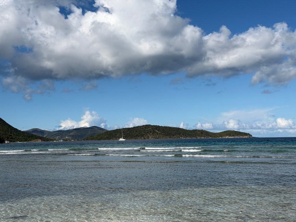
Lindquist Beach at Smith Bay was worth the terrifying walk on the highway (half as far as the grocery store). Few people, clear water, smooth, small waves. We spent enjoyable time playing in the buoyant salt water.

We didn’t see any iguanas at the beach, but their tracks were everywhere. Last night we counted six in one small hedge along a walking trail near our condo at Sapphire Beach.

Iguana tracks, showing tail drags, Brian’s toes for scale

We swam for a long, happy time. The current kept moving us away from our picnic bench, so we had to keep swimming back, parallel to shore. We even swam out to the buoy, the allowed limit at that site.

We started walking back along the highway to find a restaurant that we had heard about, but it was closed. Back to the highway when a taxi, a modified pickup truck, offered a ride. We gladly accepted, and got back to our condo for late lunch, showers and rest.

Dinner was at the Sea Salt Restaurant and Bar, which had a lovely view of Sapphire Beach, near our condo. The clouds this second evening were astonishing similar to the previous evening.