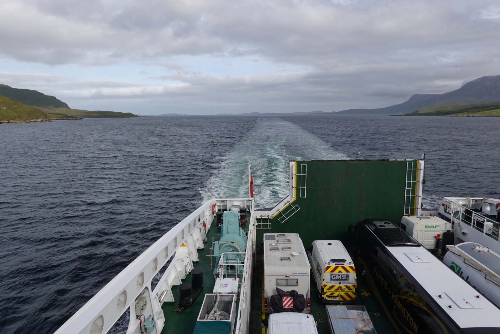
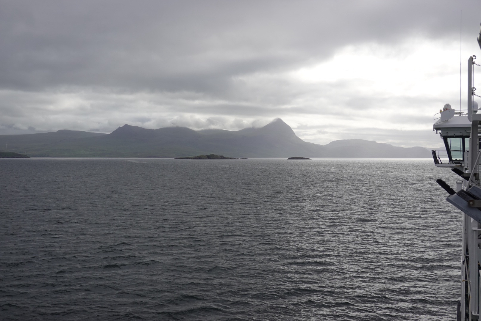
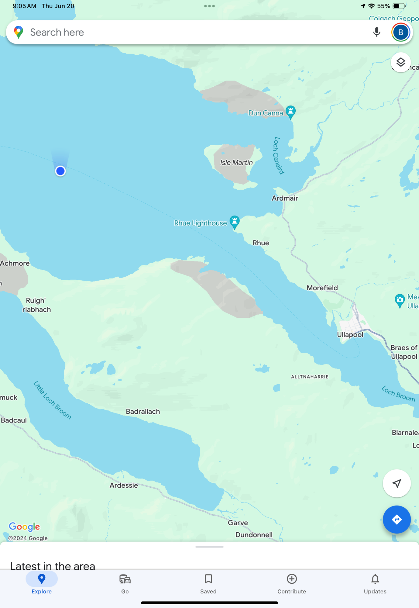
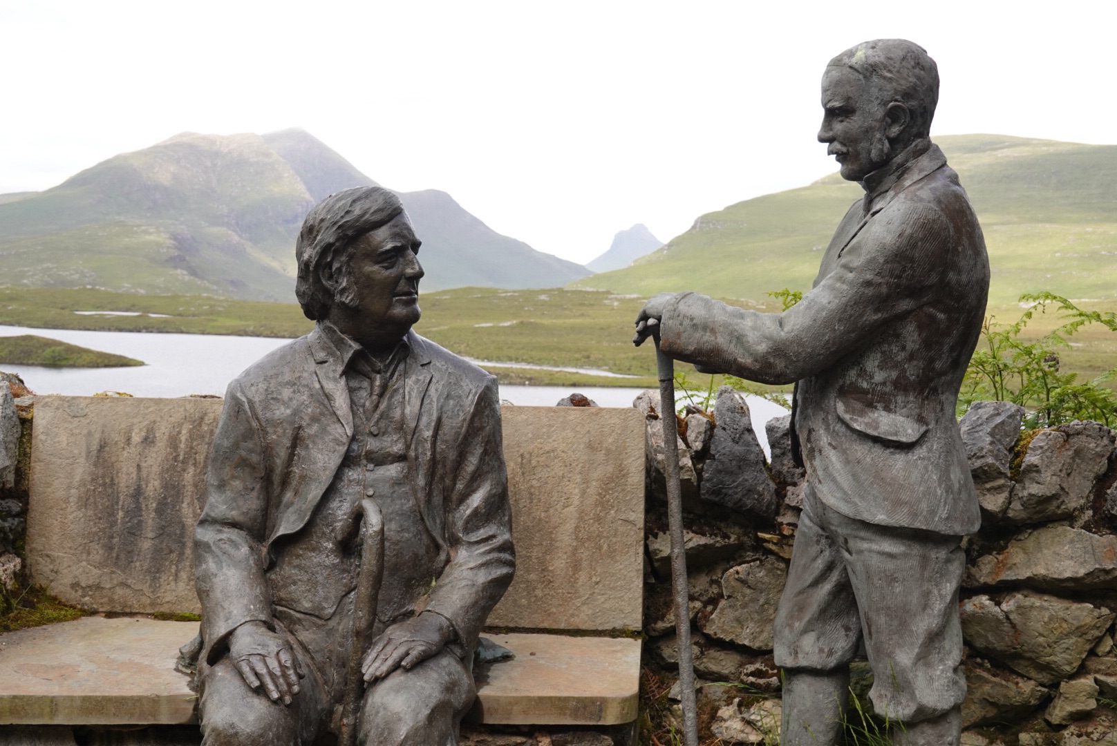
As you saw in yesterday’s pictures, the weather was glorious, a perfect tribute to the Summer Solstice. The daylight was 19 hours, which we needed to fit in all those Geology stops. We enjoyed our night in Tongue, then this morning we drove northeast to pick up a ferry to the Orkney Islands.
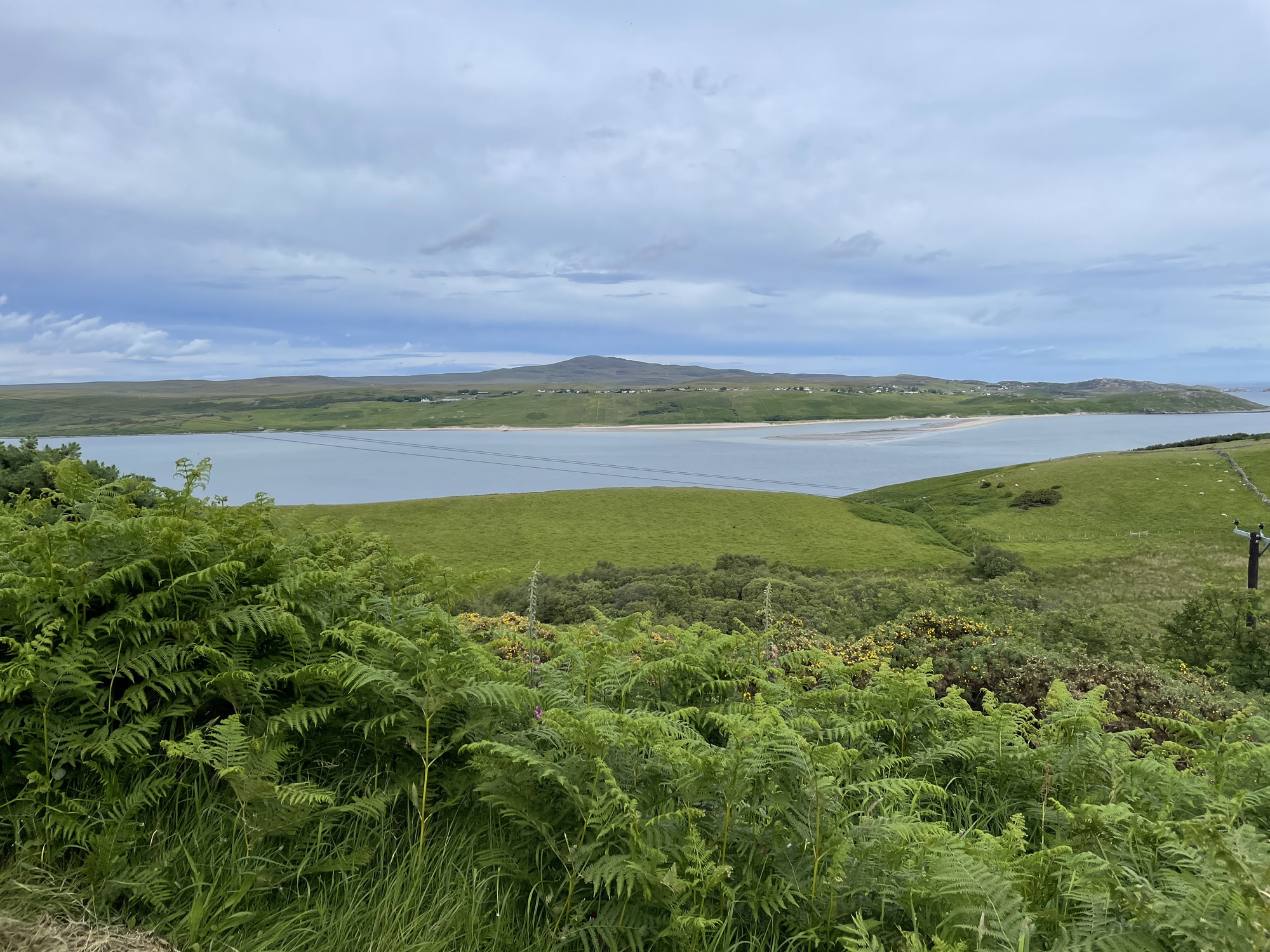
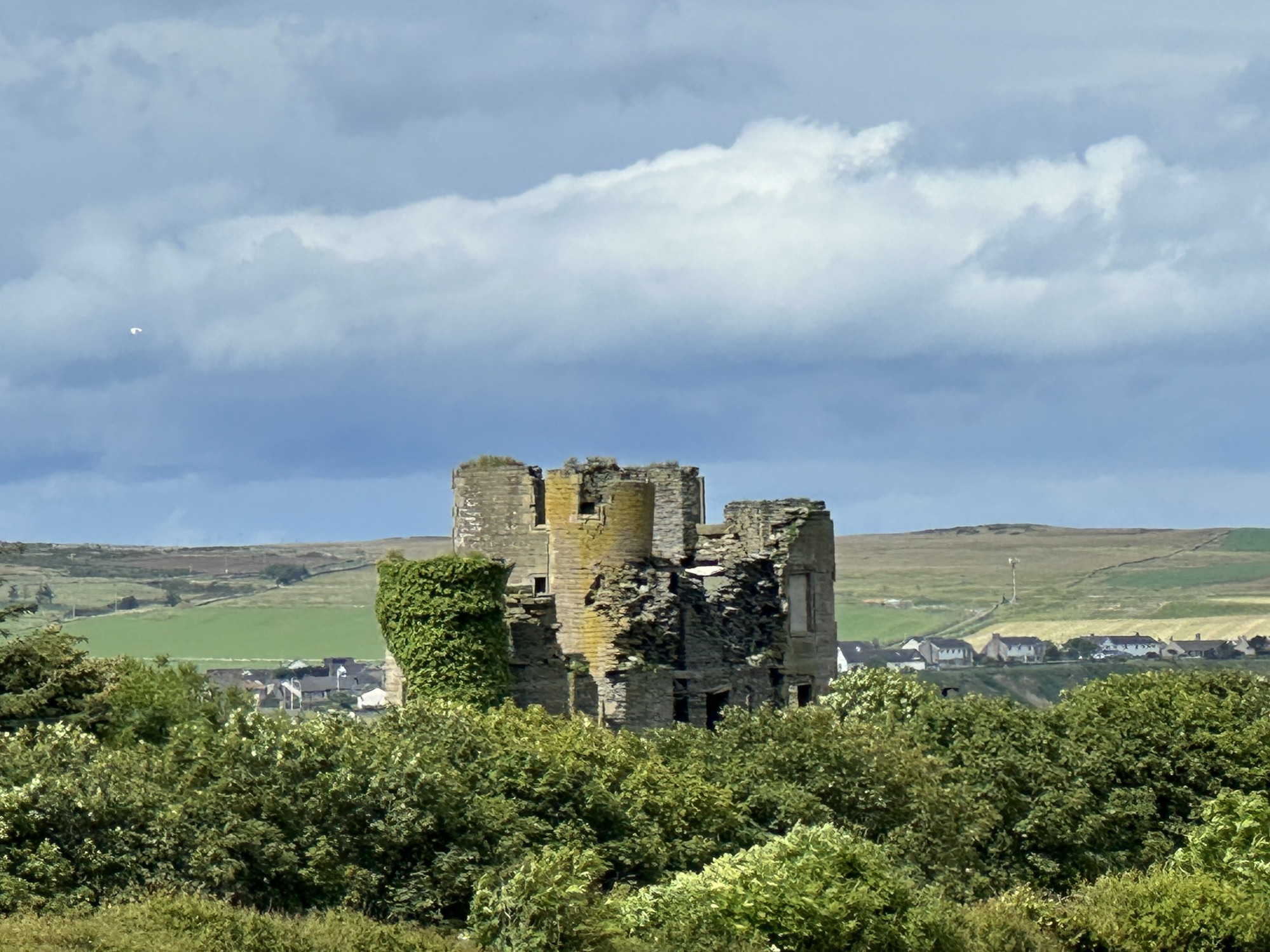
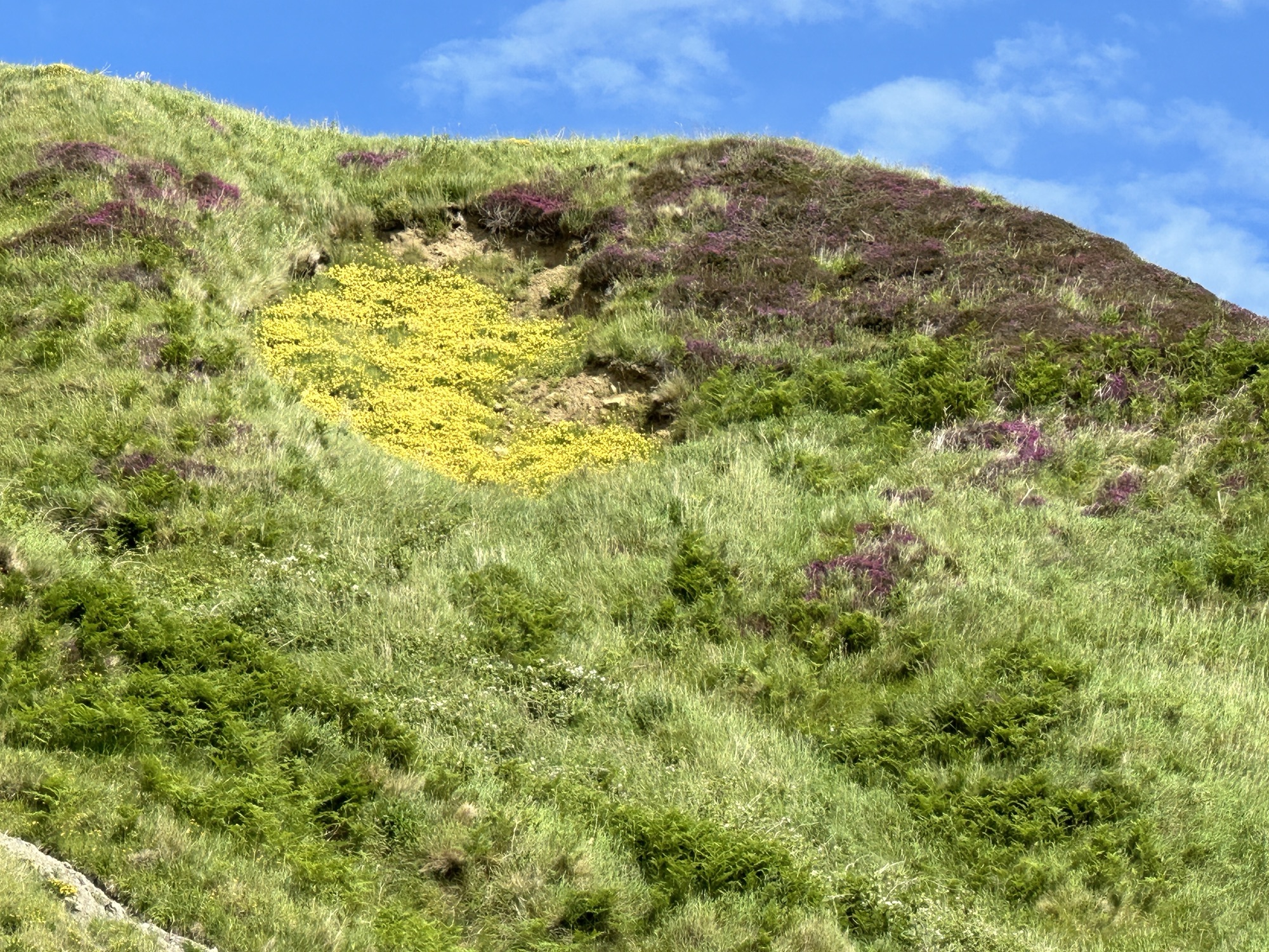
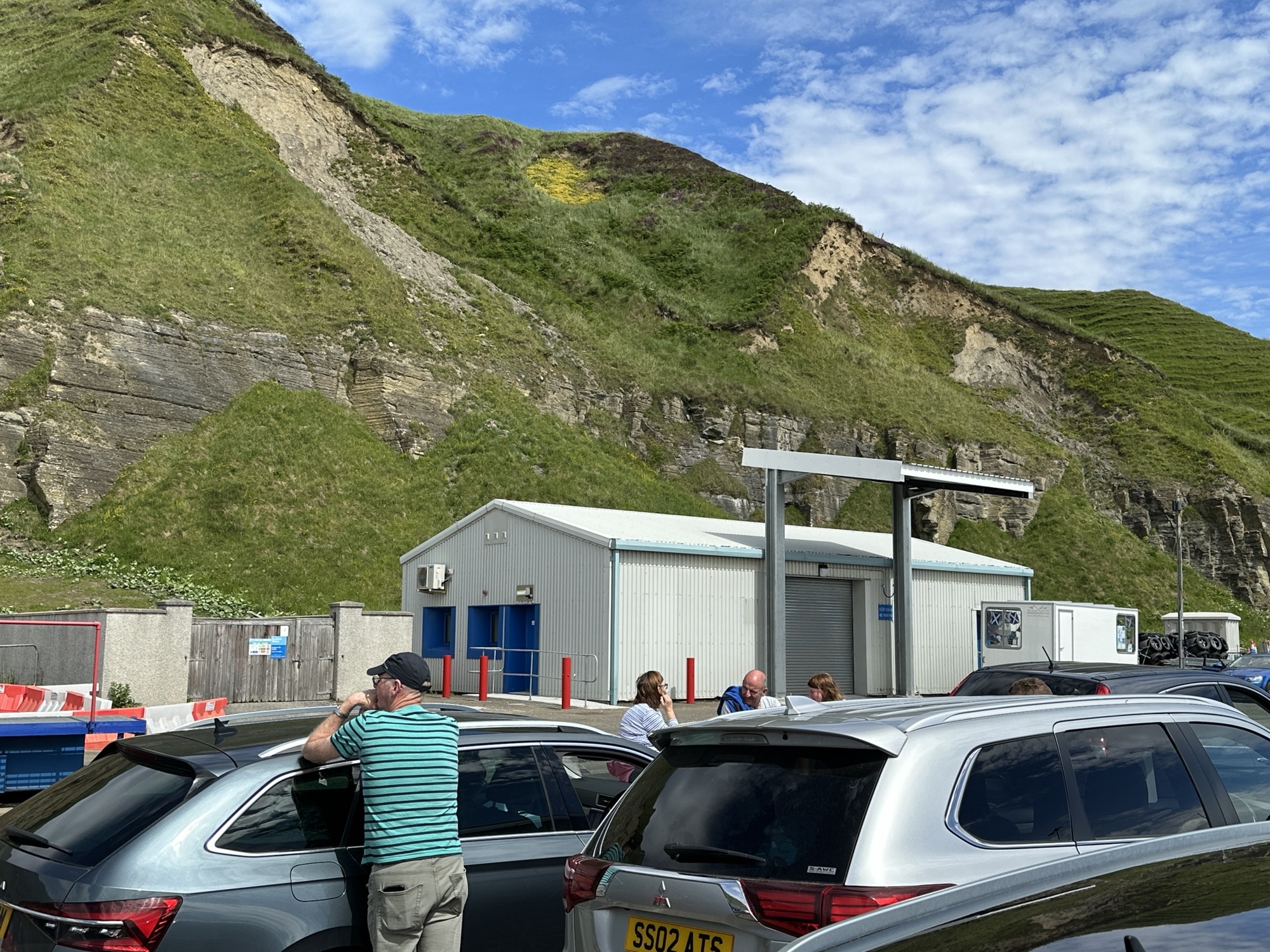
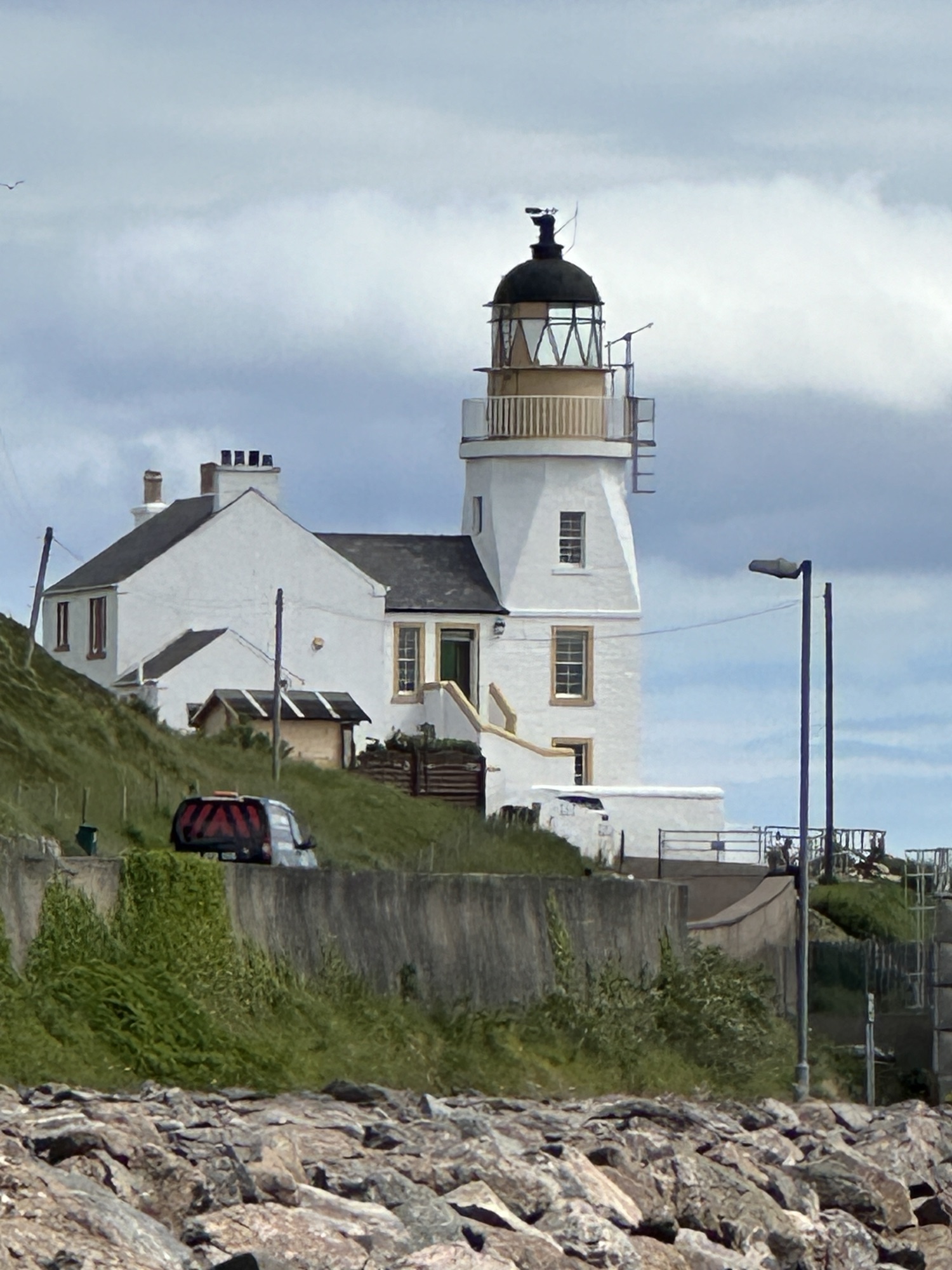
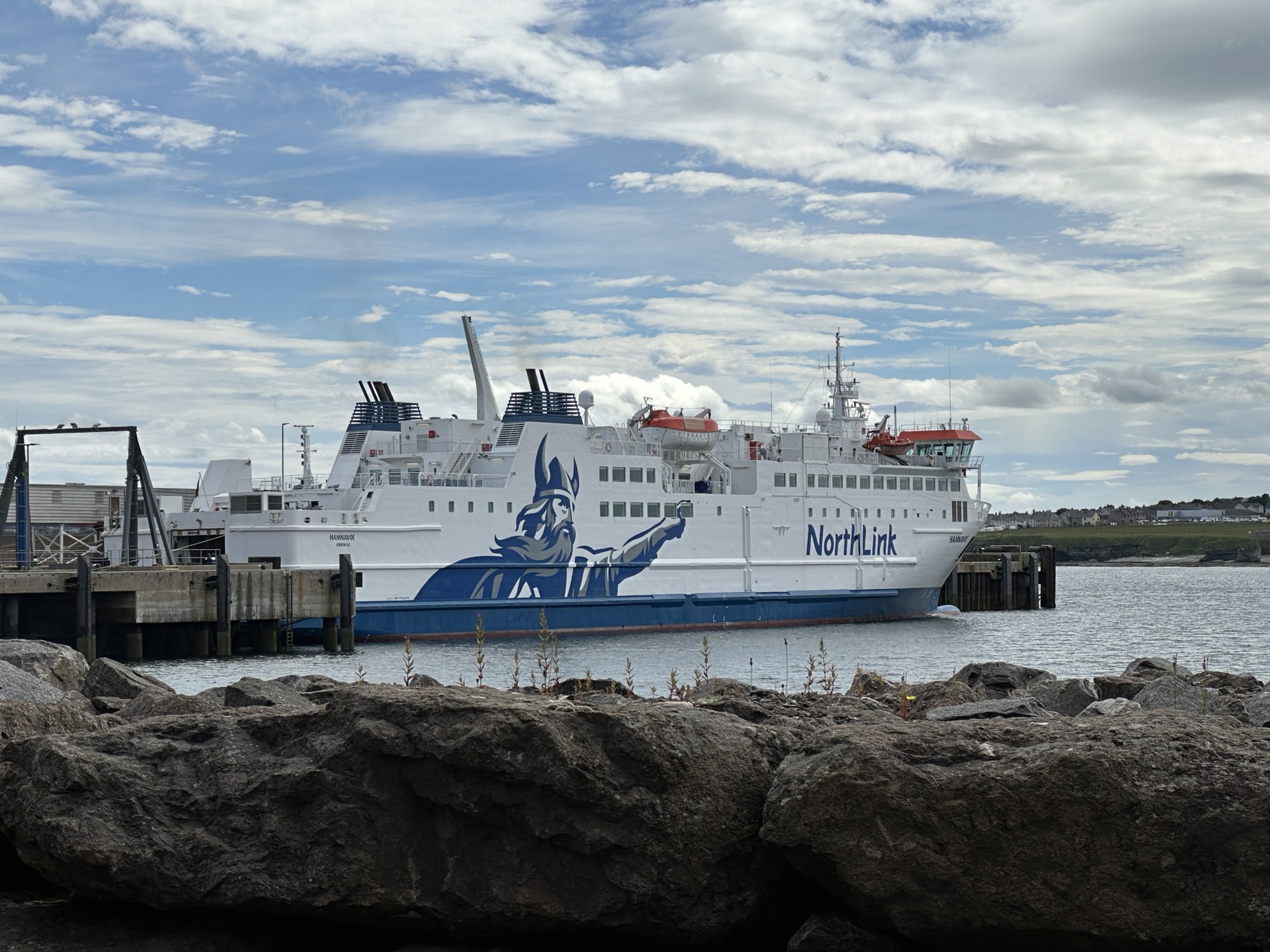
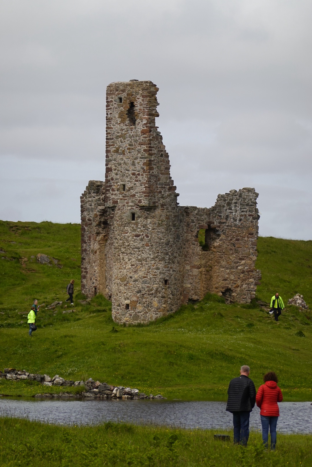
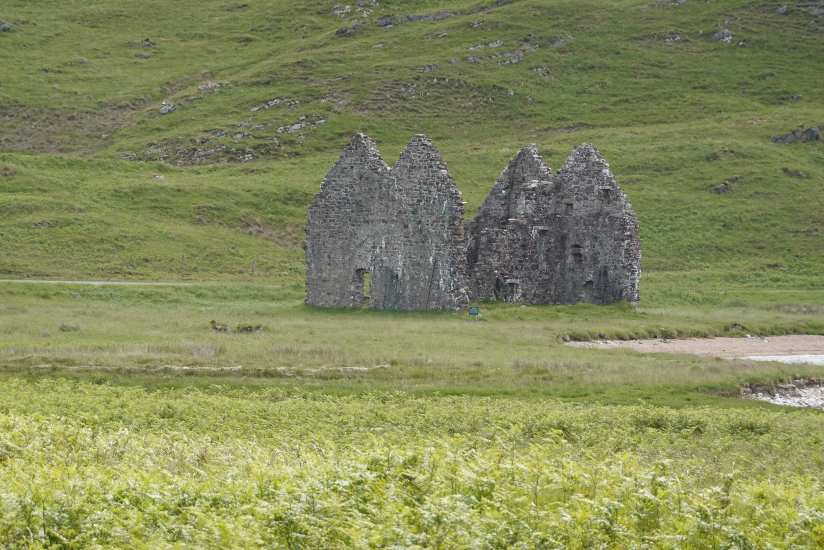
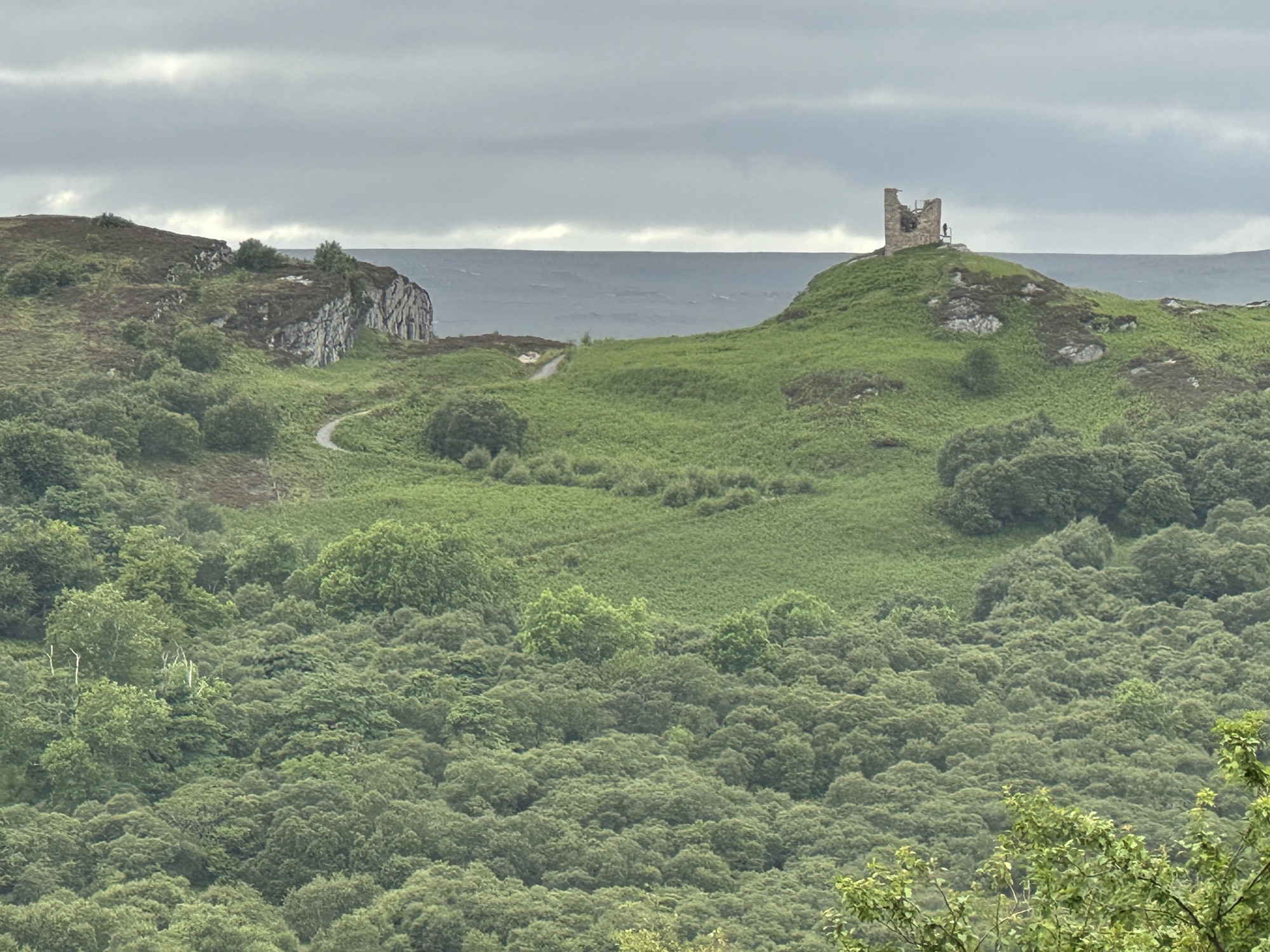
Kyle of Tongue after leaving TongueCastle ruin just east of ThursdayInteresting hillside, yellow flowers and heather at ScrabsterWaiting for the ferry under sandstone cliffsLighthouse near the ferryViking on NorthLink ferry
The geology of the main island, Orkney, where we will be staying for 3 nights is mundane, all flat-lying Devonian sandstone deposited in a large, freshwater lake. On this island, we are looking for cultural sites and activities.
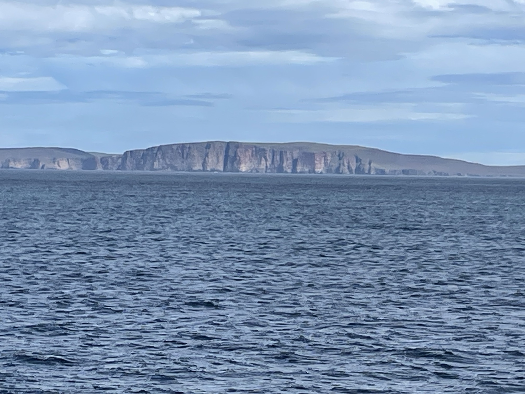
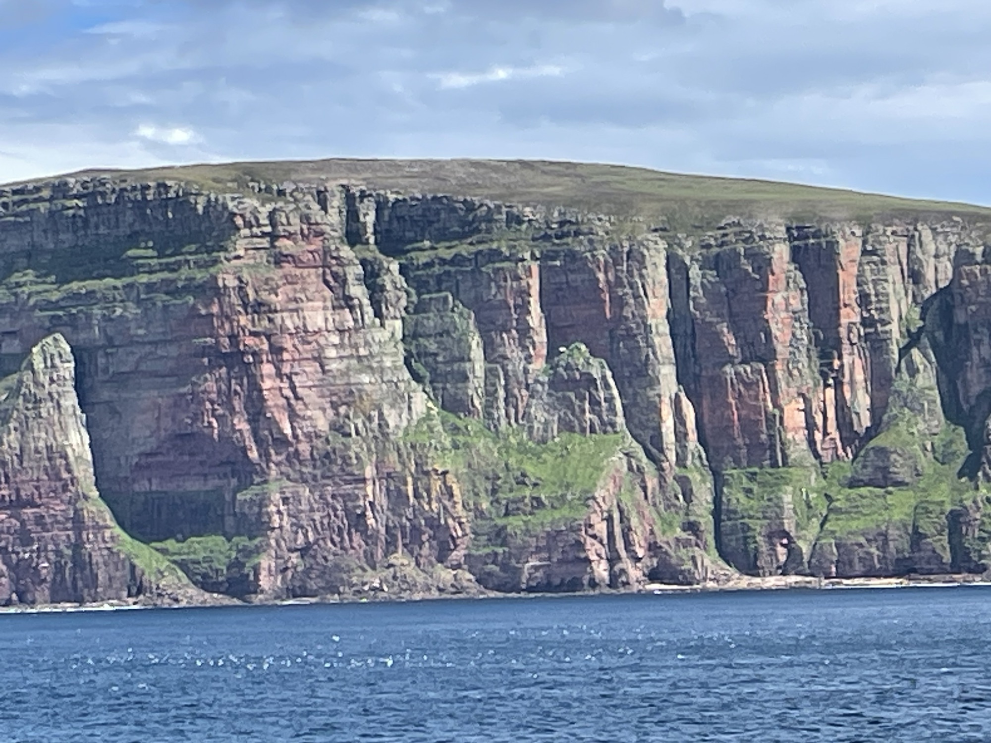
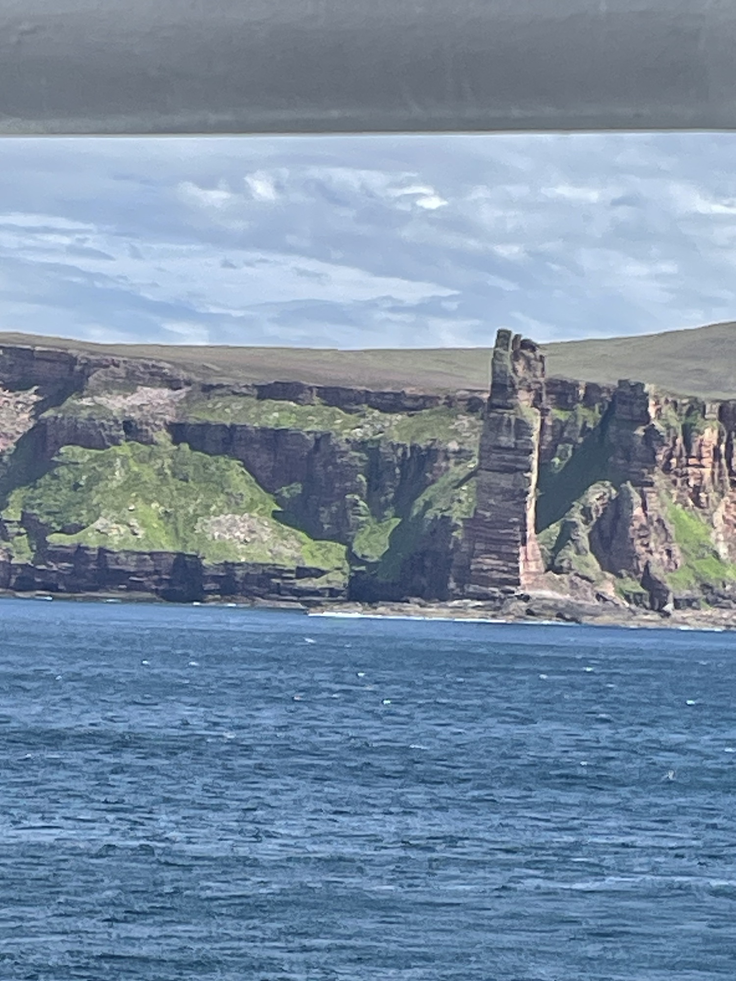
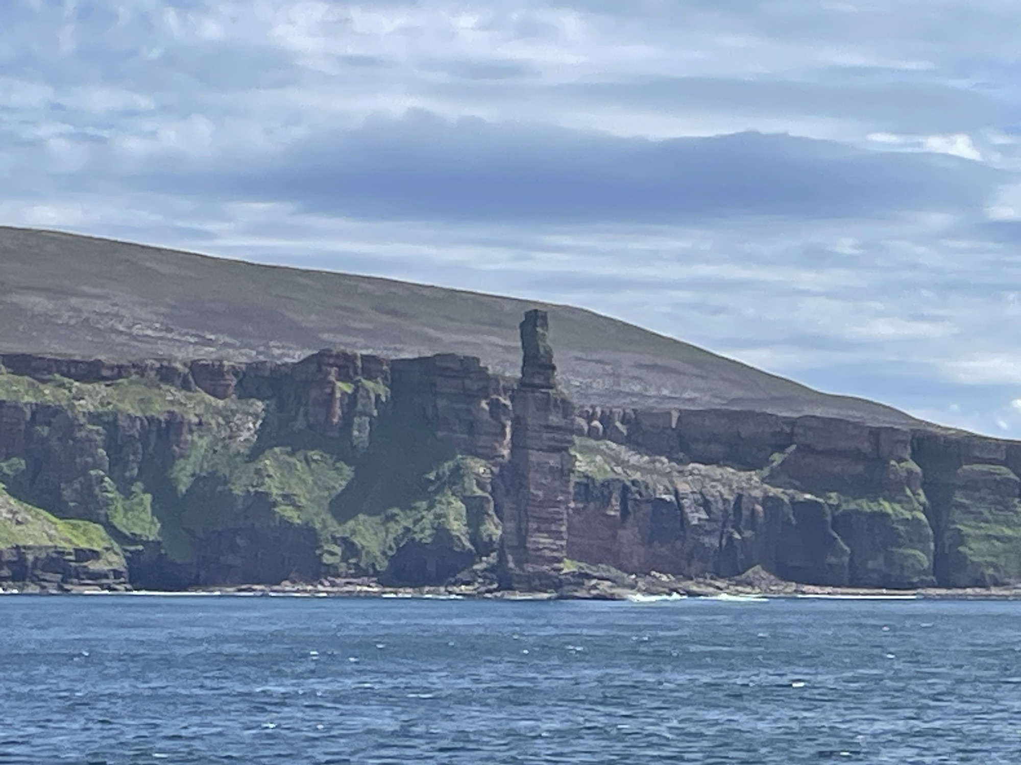
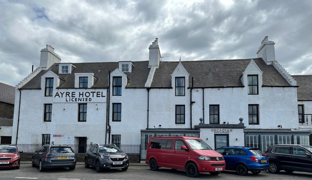
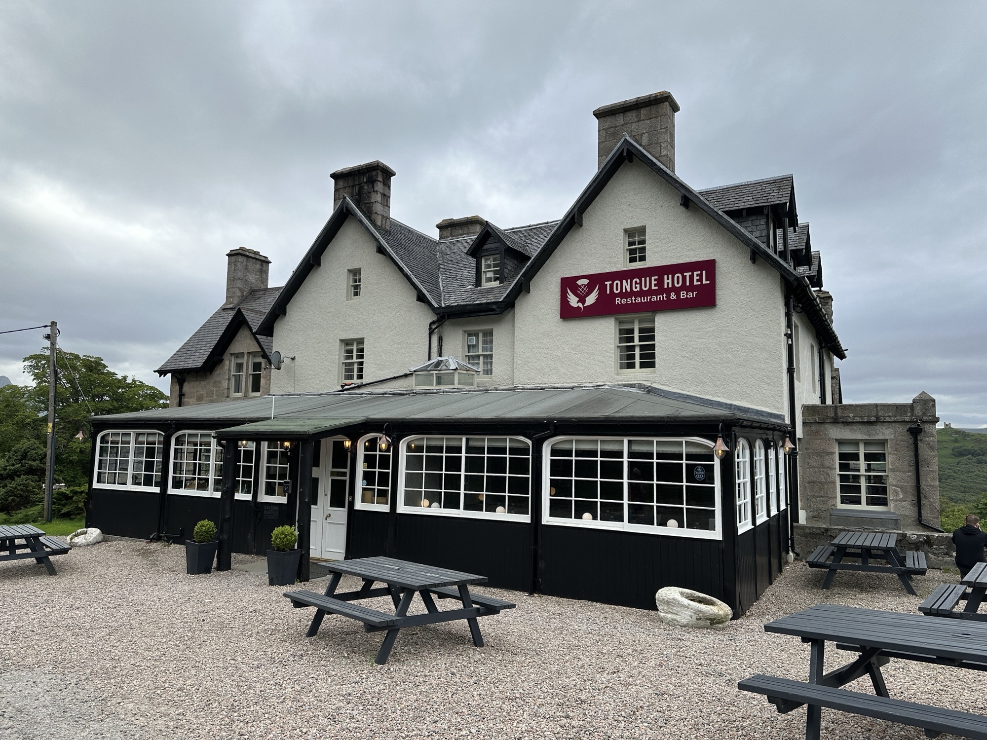
Flat lying Devonian sedimentsThe jointing in the sandstones make great places for puffins to nestView of The Old Man Hoy, from the ferryAnother view of the Old Man of Hoy, from the ferryThe hotel where we will sleep the next 3 nights, in Kirkwall on Orkney
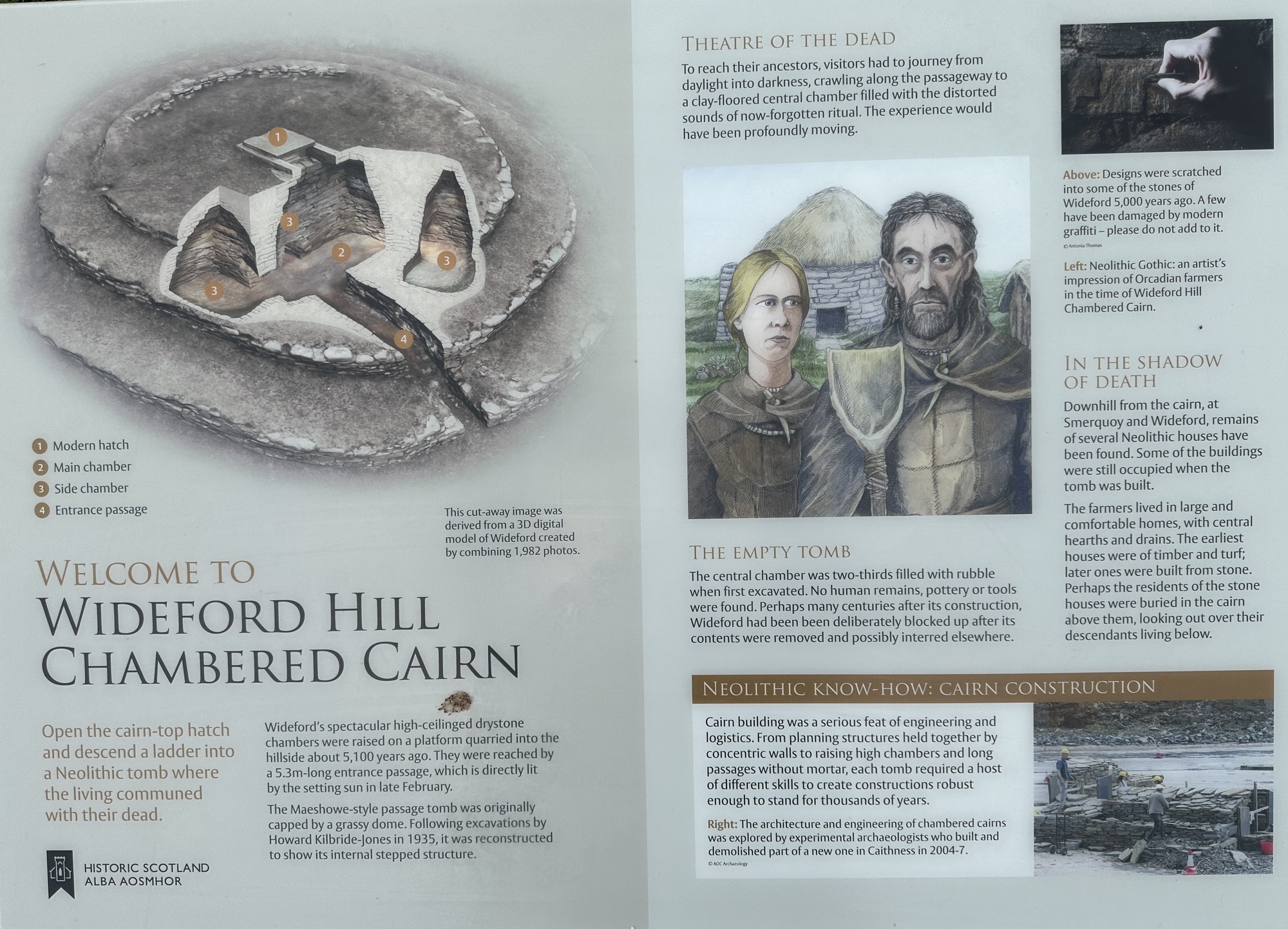
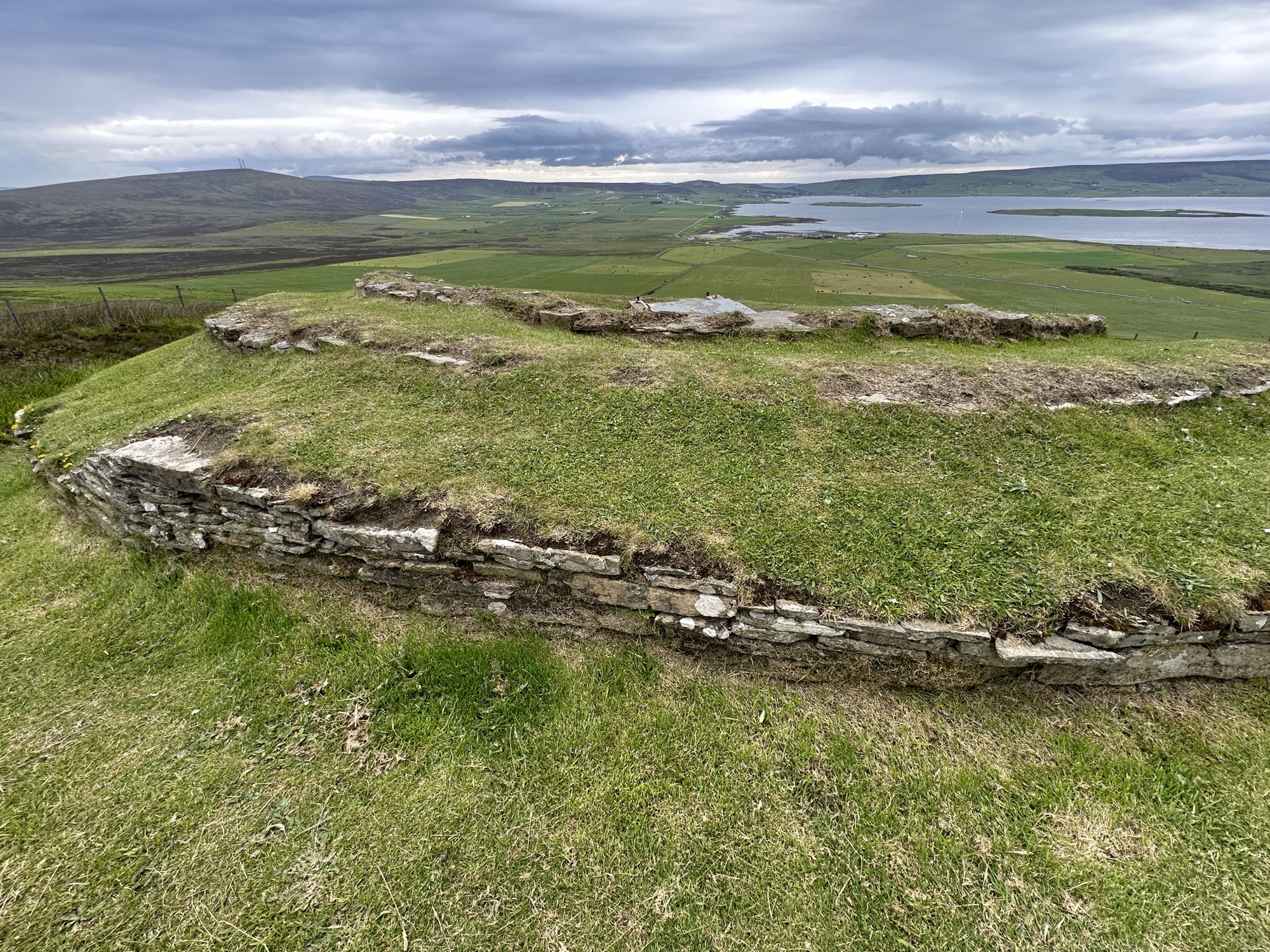
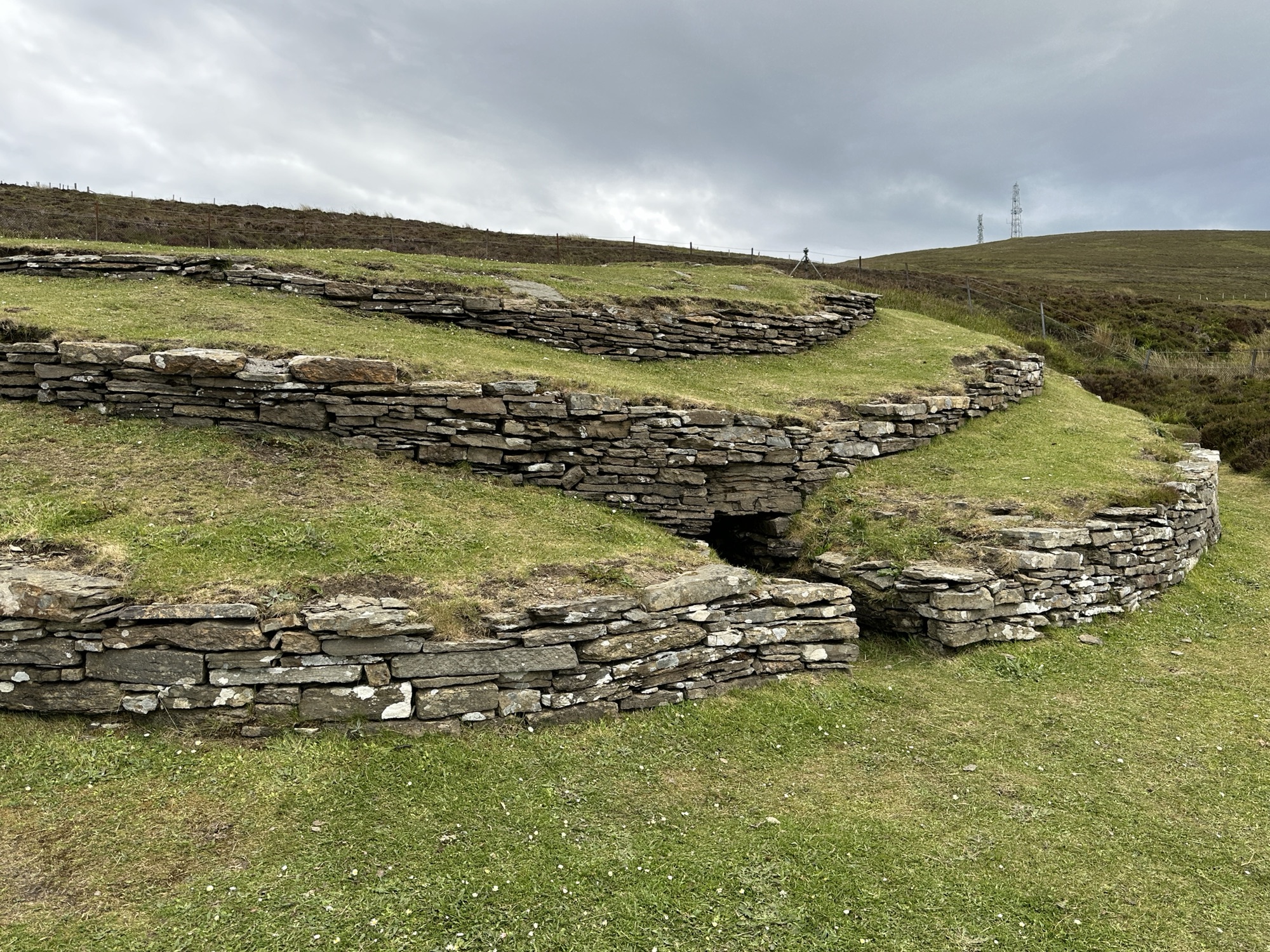
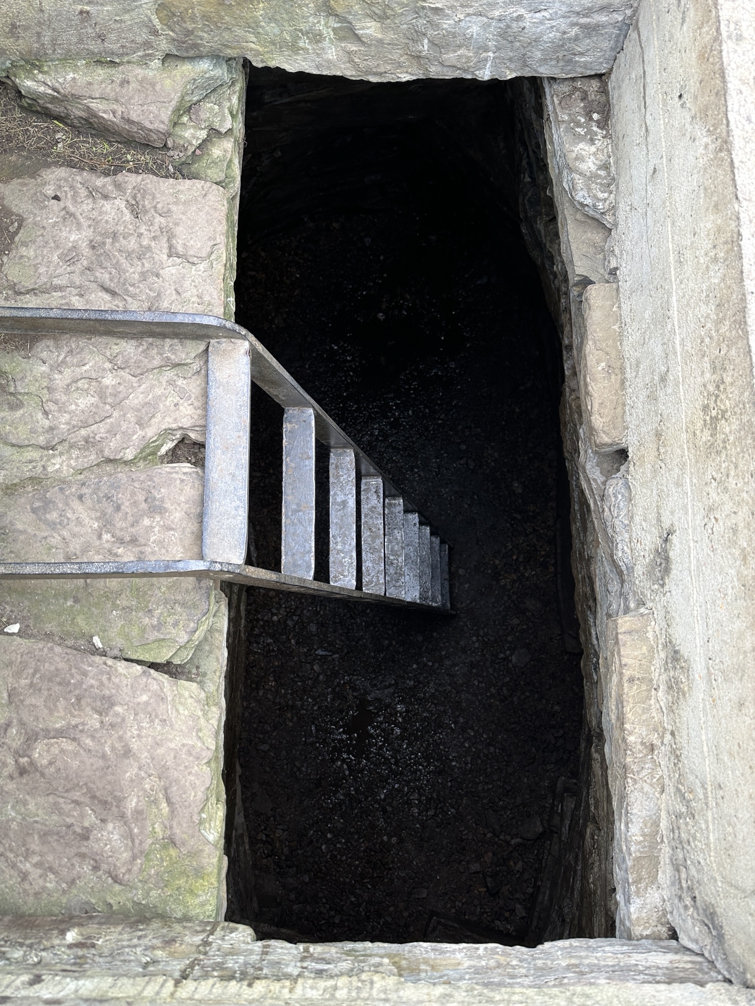
We wandered around the town where we will be staying, Kirkwall, then drove to a 5,100 year old Neolithic Cairn, Wideford Hill Chambered Cairn, “where the living communed with their dead”. To reach their ancestors, the Neolithic people had to journey from daylight into darkness. The signs invited us to do the same, but we were not tempted.
Information about the cairnStones in a circleExit from cairnEntrance, which we didn’t want to try to climb down, especially since we would have to crawl to get around down there.
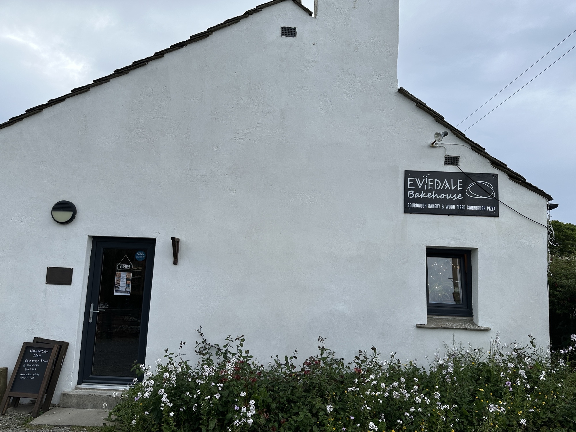
We continued down the road to a sourdough bakery and pizza parlor that we read about long before we arrived. The small, cozy place was great for dinner.
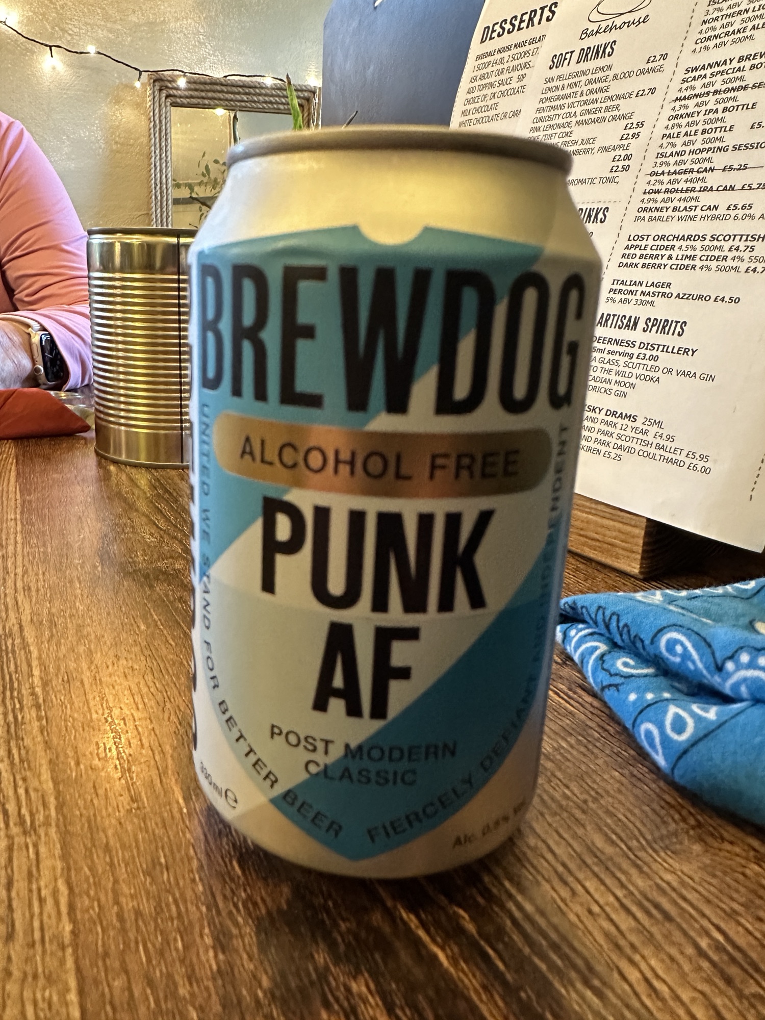
Eviedale Bakehouse, where we ate dinnerThe alcohol- free beer that Brian had, because we had to drive to get back to the hotel.
This morning (Friday) we got up early to catch a ferry back to the mainland, to Ullapool in Northern Scotland. From there we drove to Tongue to sleep where we slept on our 2013 Geology Field Trip.
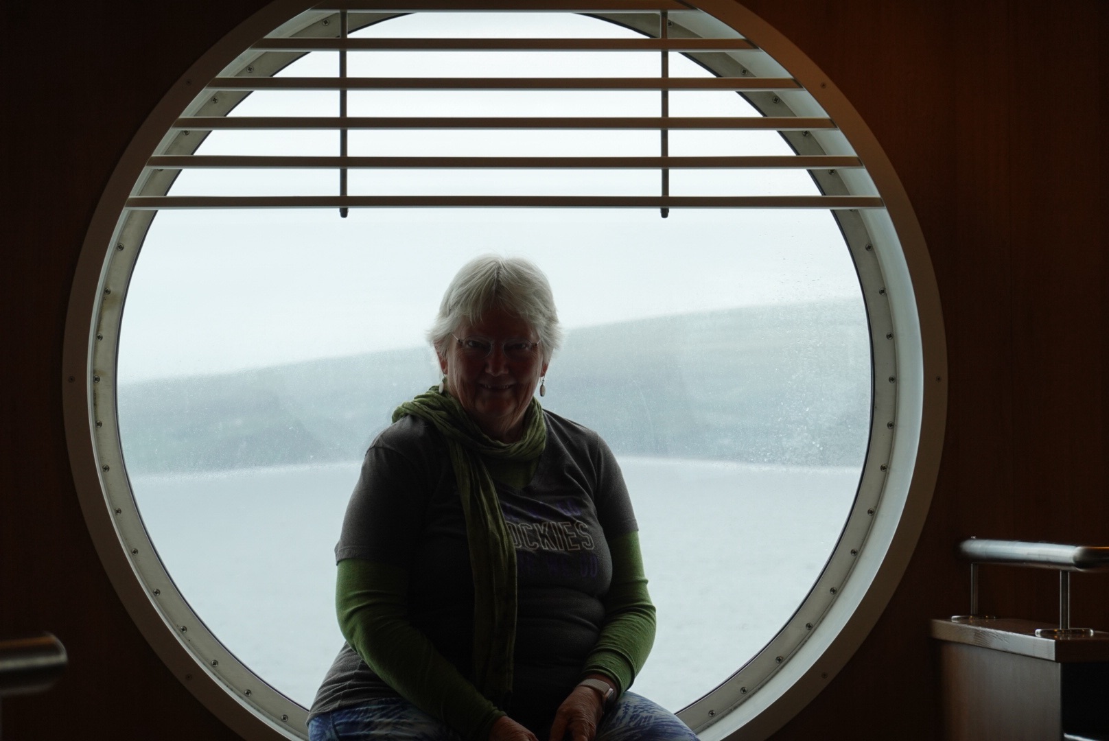
Looking back toward StornowayClare in a porthole window on the ferryMountains near UllapoolUllapool is sheltered from the ocean, on a long skinny loch.
Much of today’s driving was along the North West Highlands Geopark Rock Route, which also has the Pebble Routes (smaller sites, usually including short walks). Some of the Rock Route, we travelled 11 years ago on a Geology Field Trip, but other parts were new.
The geology of the Northwestern Highlands is complex, with rocks from many different eras in time. One of the stops along the Rock Route expressed it concisely:
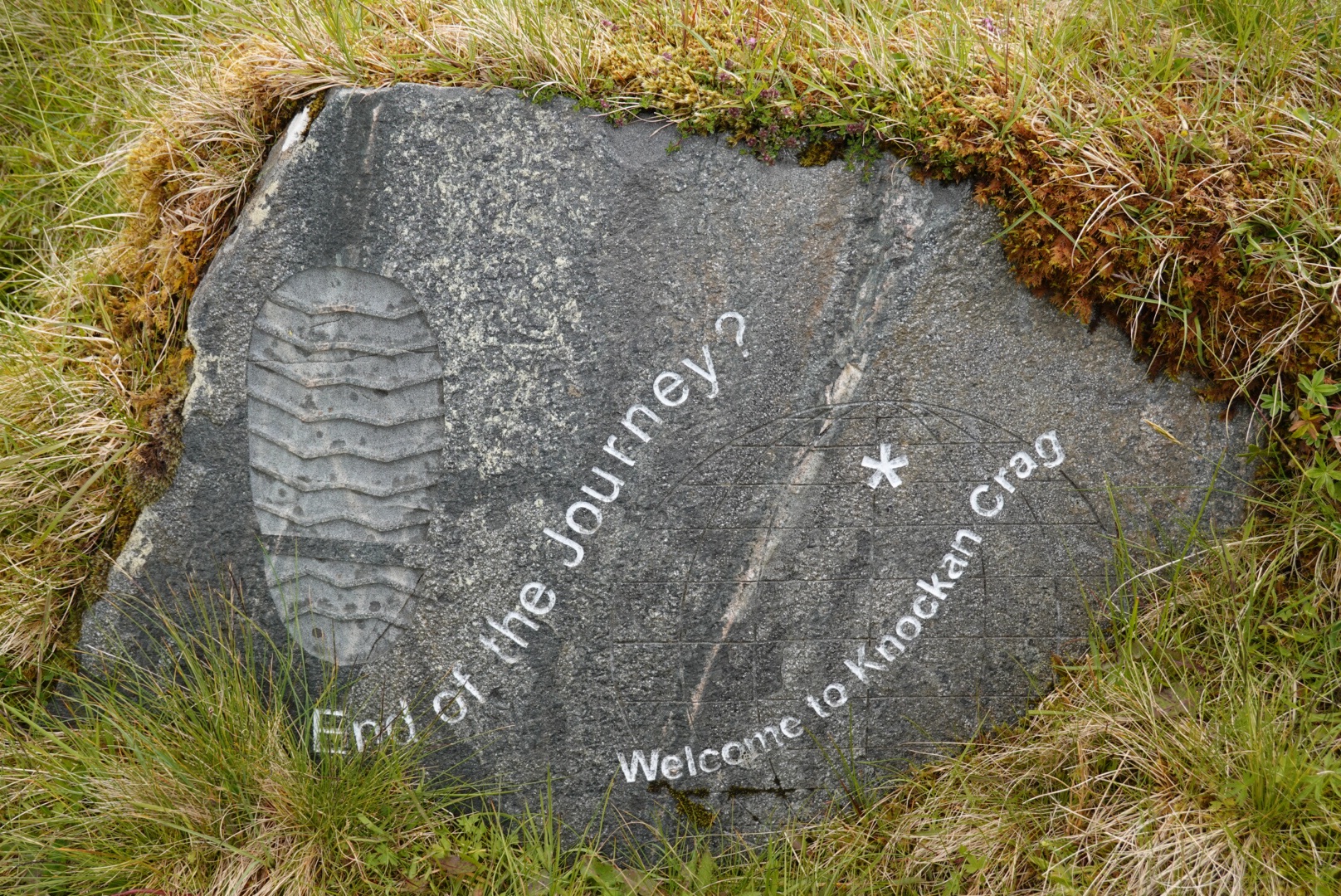
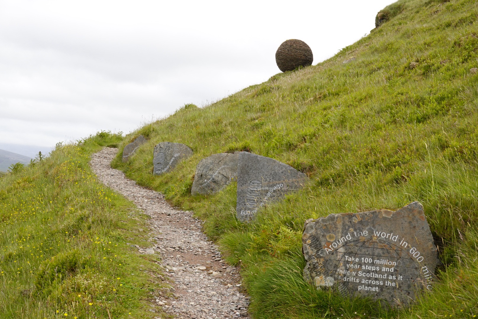
Take steps 100 million years back in time to see where Scotland lies:
100 Mya. Scotland is under a shallow sea.
200 Mya. Dinosaurs ruled Scotland.
300 Mya. Scotland is near the equator.
400 Mya. Scotland collided with England.
500 Mya. Scotland is part of North America.
600 Mya. Scotland is near the South Pole.
With all this smashing of continental landmasses, today’s blog will be mostly pictures with captions.
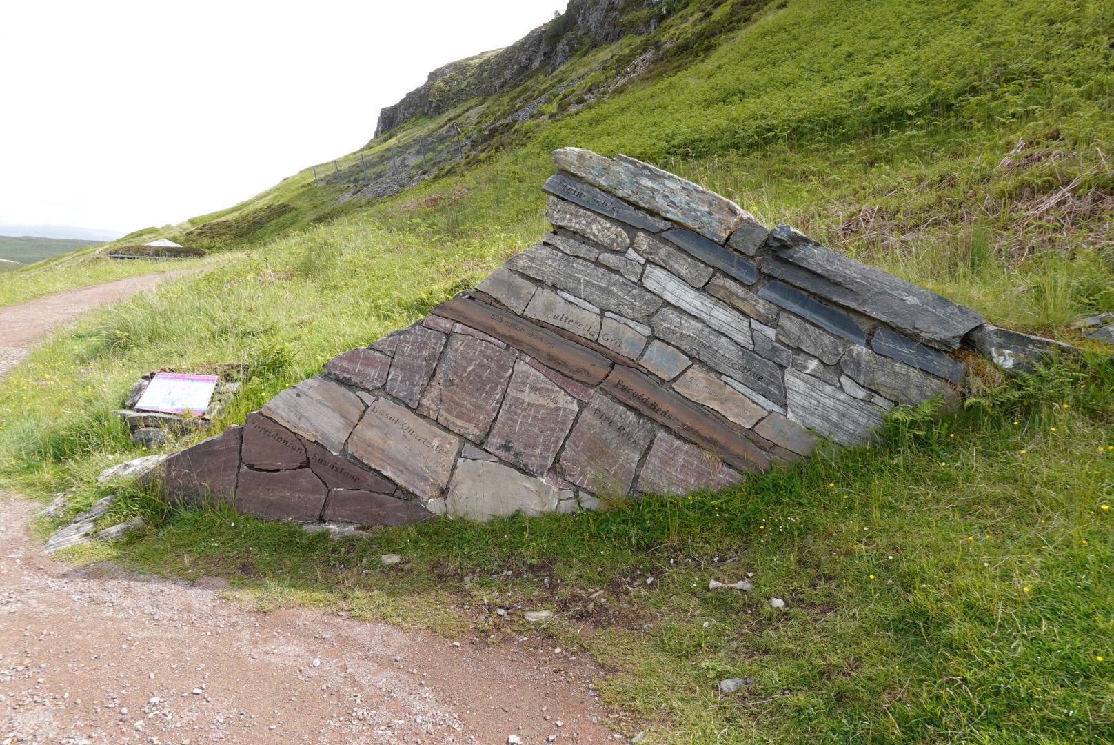
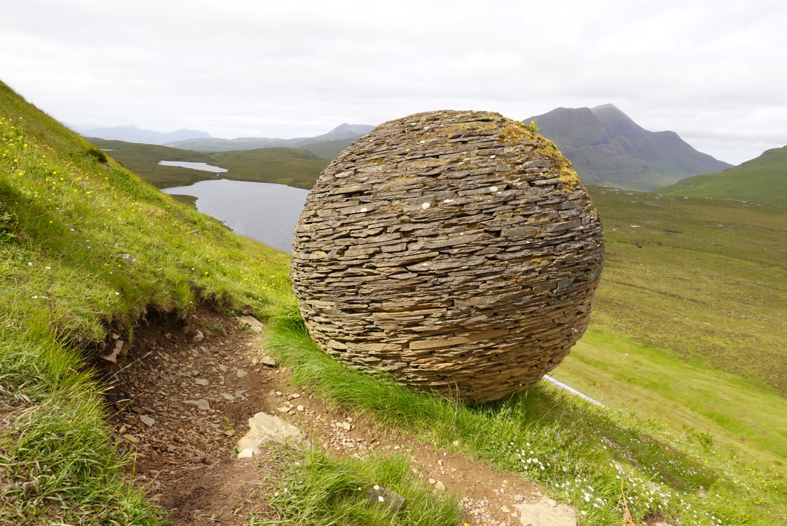
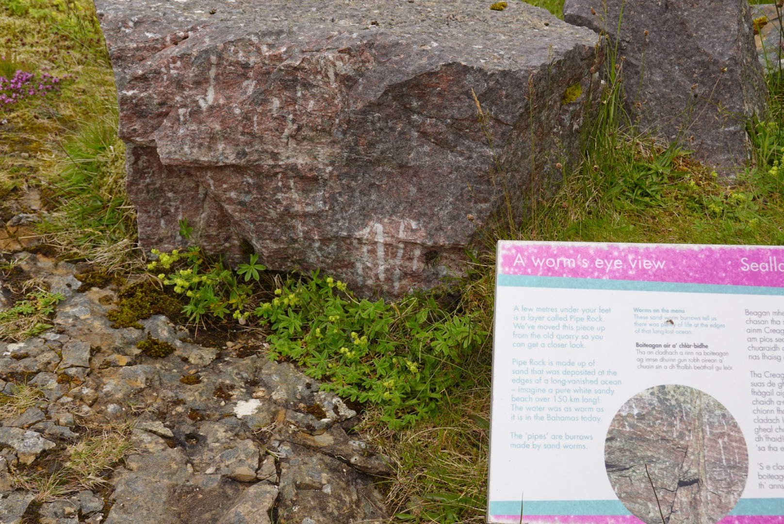
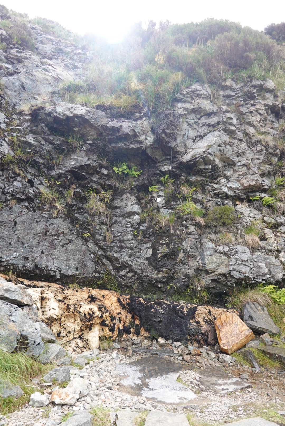
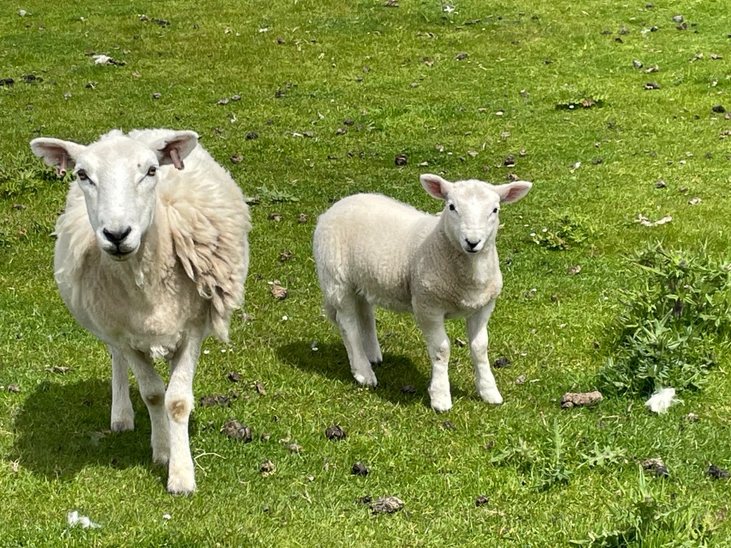
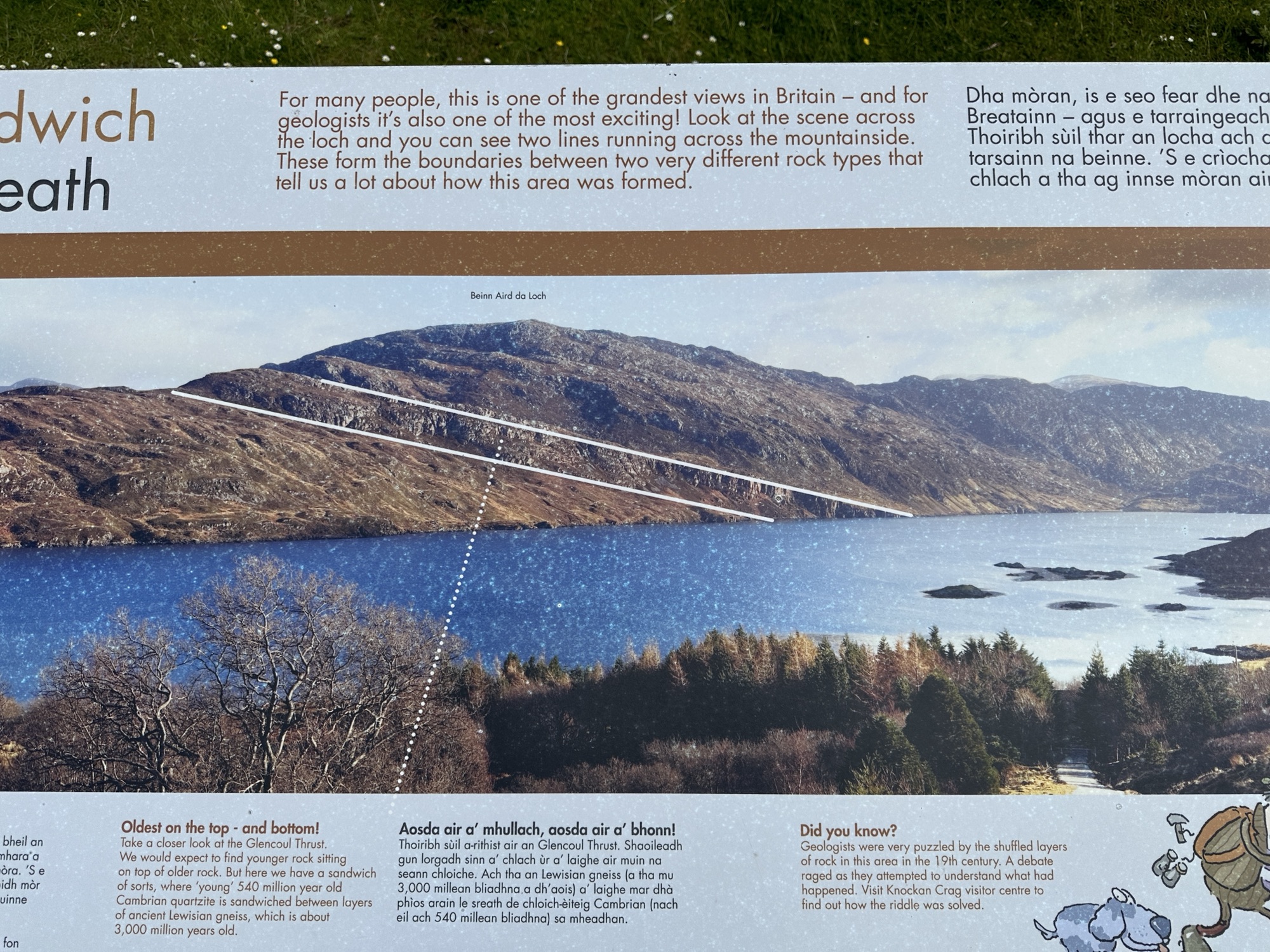
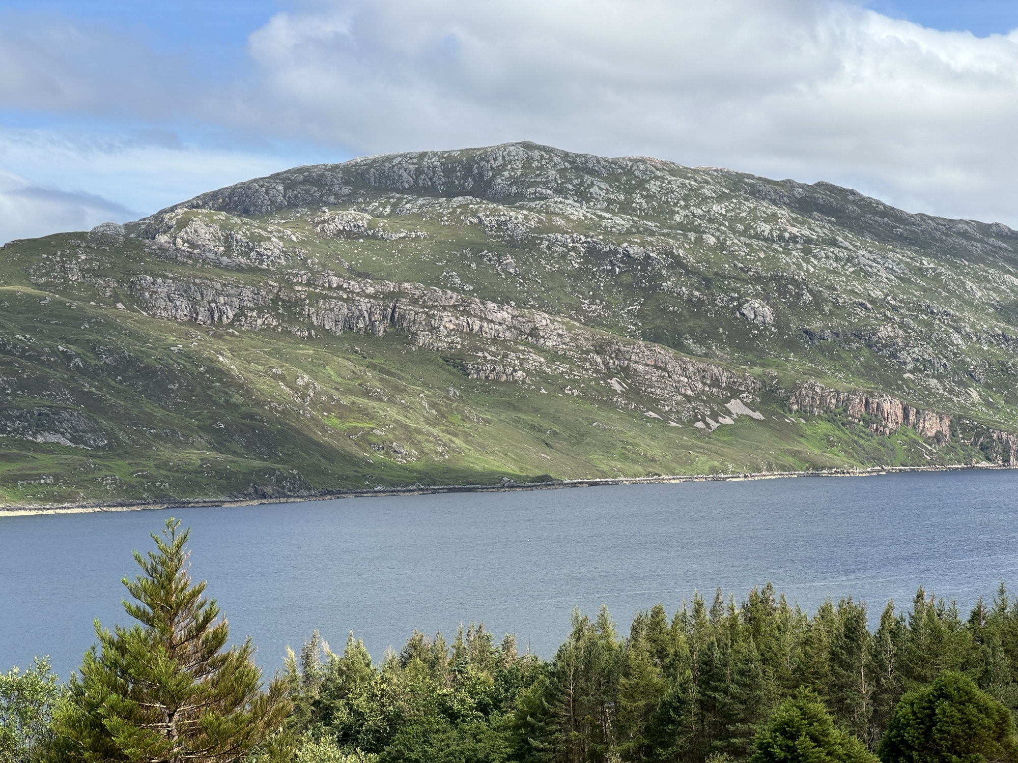
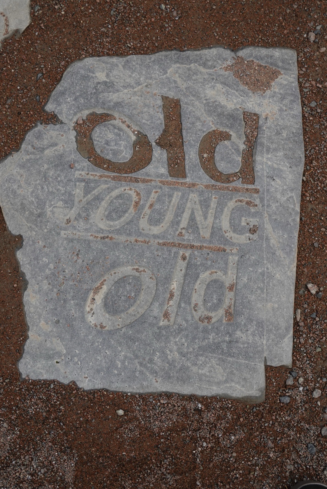
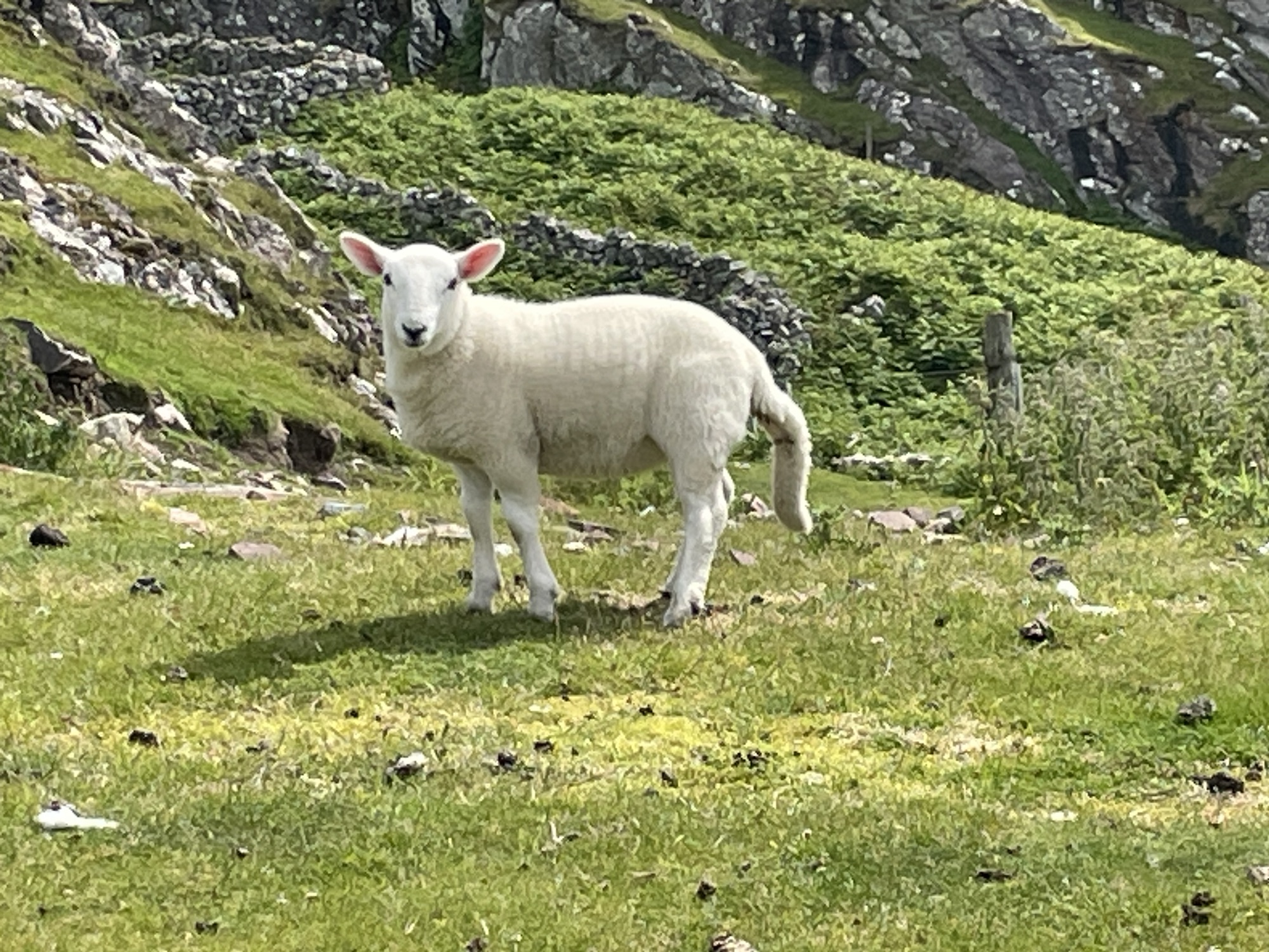
Around 1850, Geologists Peach and Horn figured out that older rocks cannot be deposited on top of younger rocks as sediments. The older rocks were shoved on top of the younger rocks. We stopped at every blue sign (with the symbol on it) that we foundSign showing where to stop for information on Rock RouteFirst stop of the Geopark Rock Route had a trail that led us up a hillsideKnockan Crag National Nature ReserveGeologic Art, showing older rocks on top of younger rocksShort trail to see the thrust fault (shoving older rocks on top)Rock art! Big sphere made of local stone along the way to the thrust fault.Fossil worm tubes, that help geologists see the amount of deformation from mountain buildingThe Moine Thrust Fault, putting older (black) rock on top of younger (tan) rockSheep, mostly moms and lambs, have populated all of our adventuresExplanation on geopark sign for the gneiss sandwich of the Moine ThrustPhoto of the Glencoul Thrust, a splay of the Moine ThrustDiagram of the unusual succession of rocks
In addition to the main Rock Route in northwest Scotland, the geopark features many Pebble Routes for side trips on secondary roads. We departed the Rock Route at Loch Assynt to drive the Assynt Pebble Route through the towns of Stoer and Drumbeg.
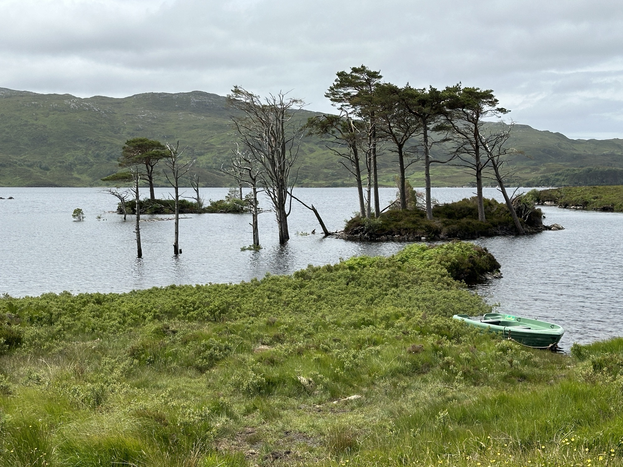
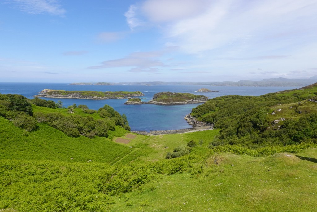
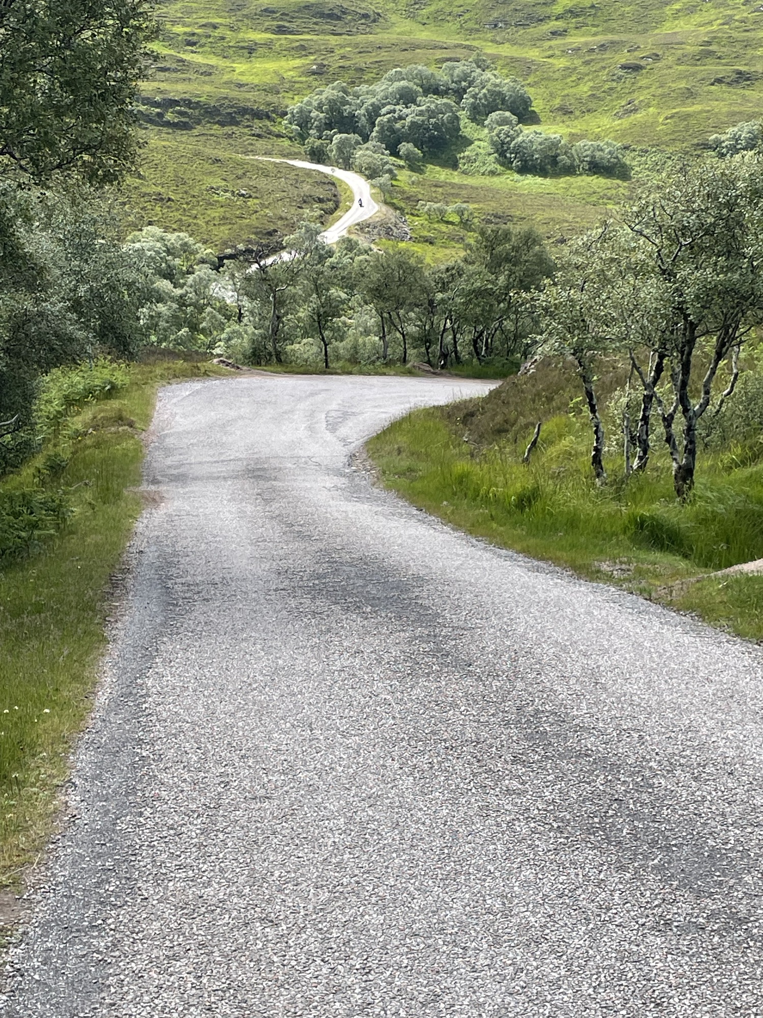
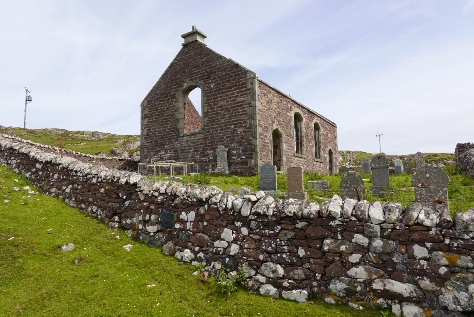
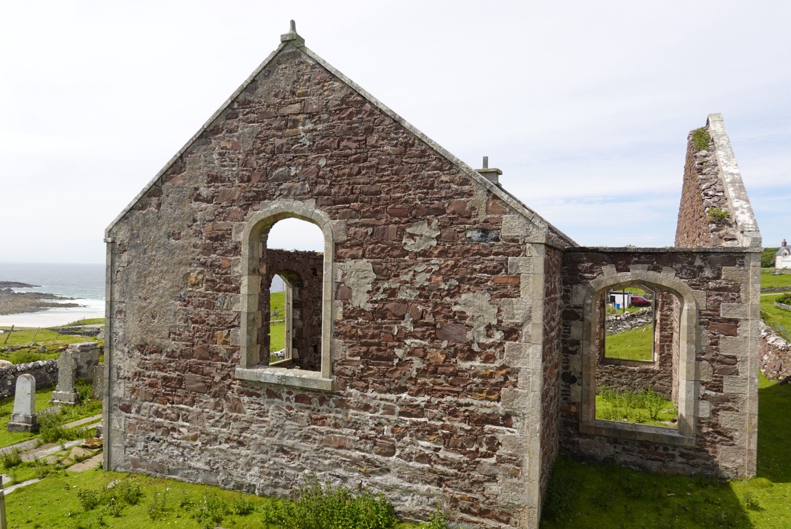
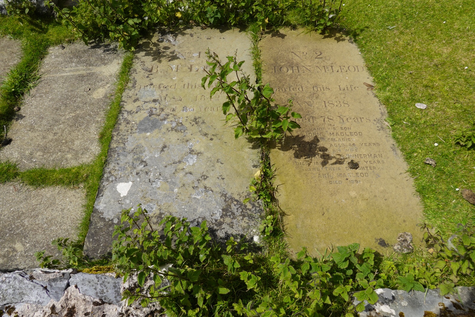
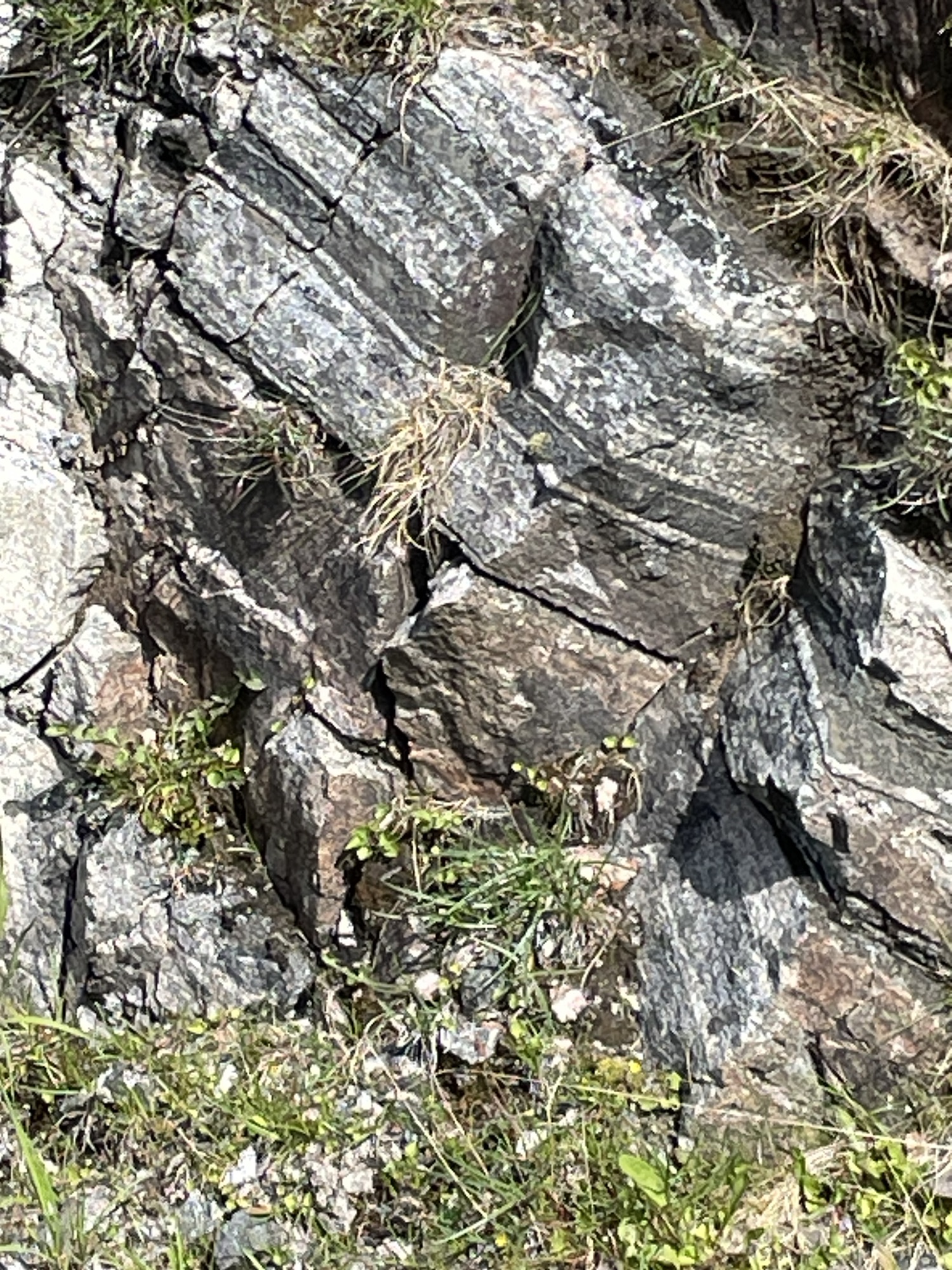
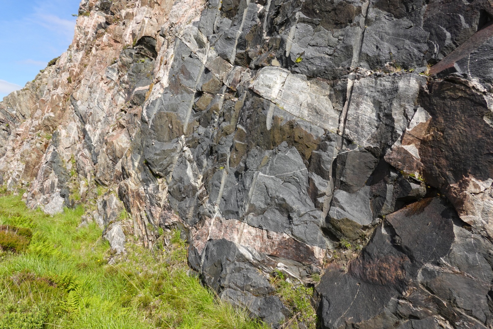
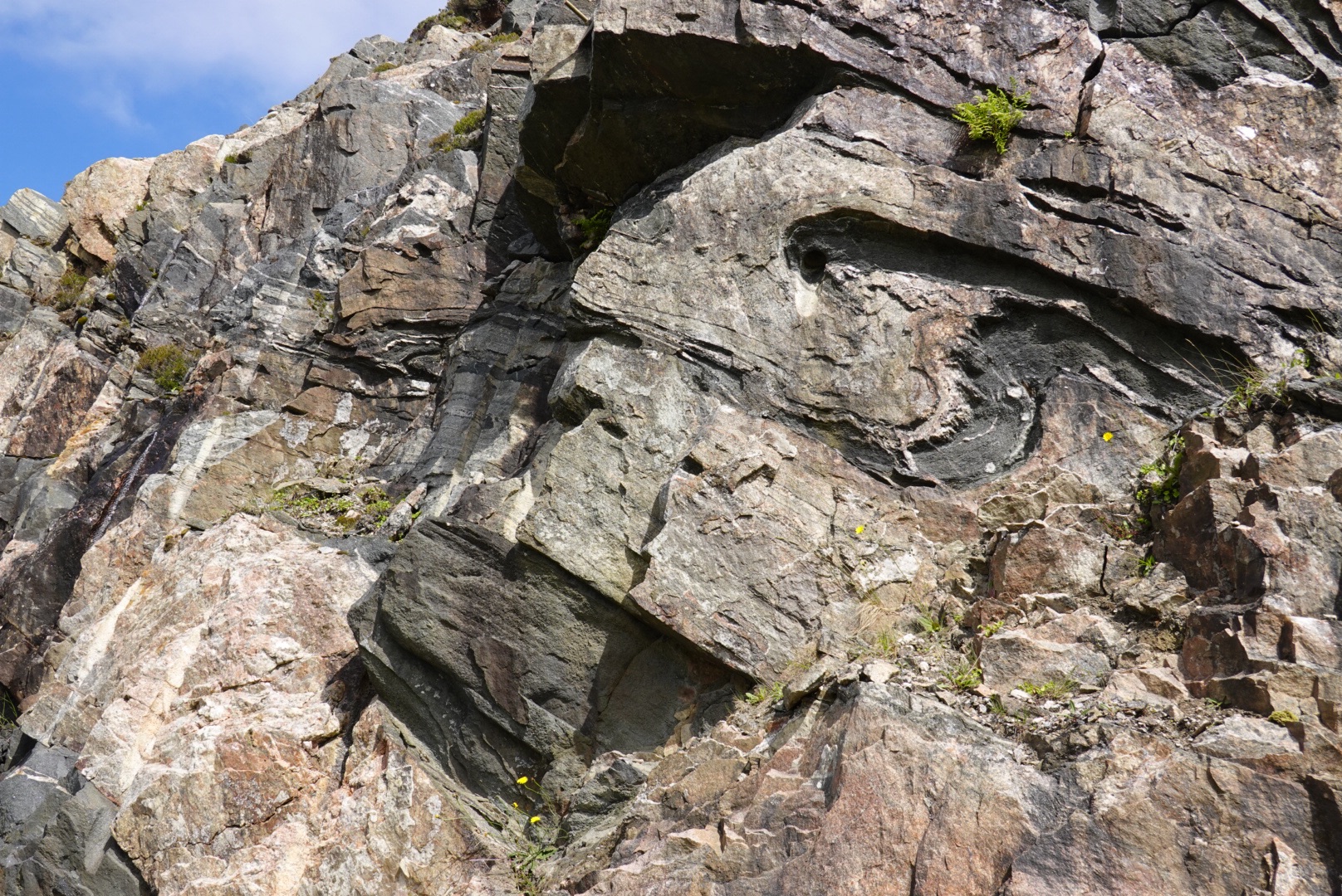
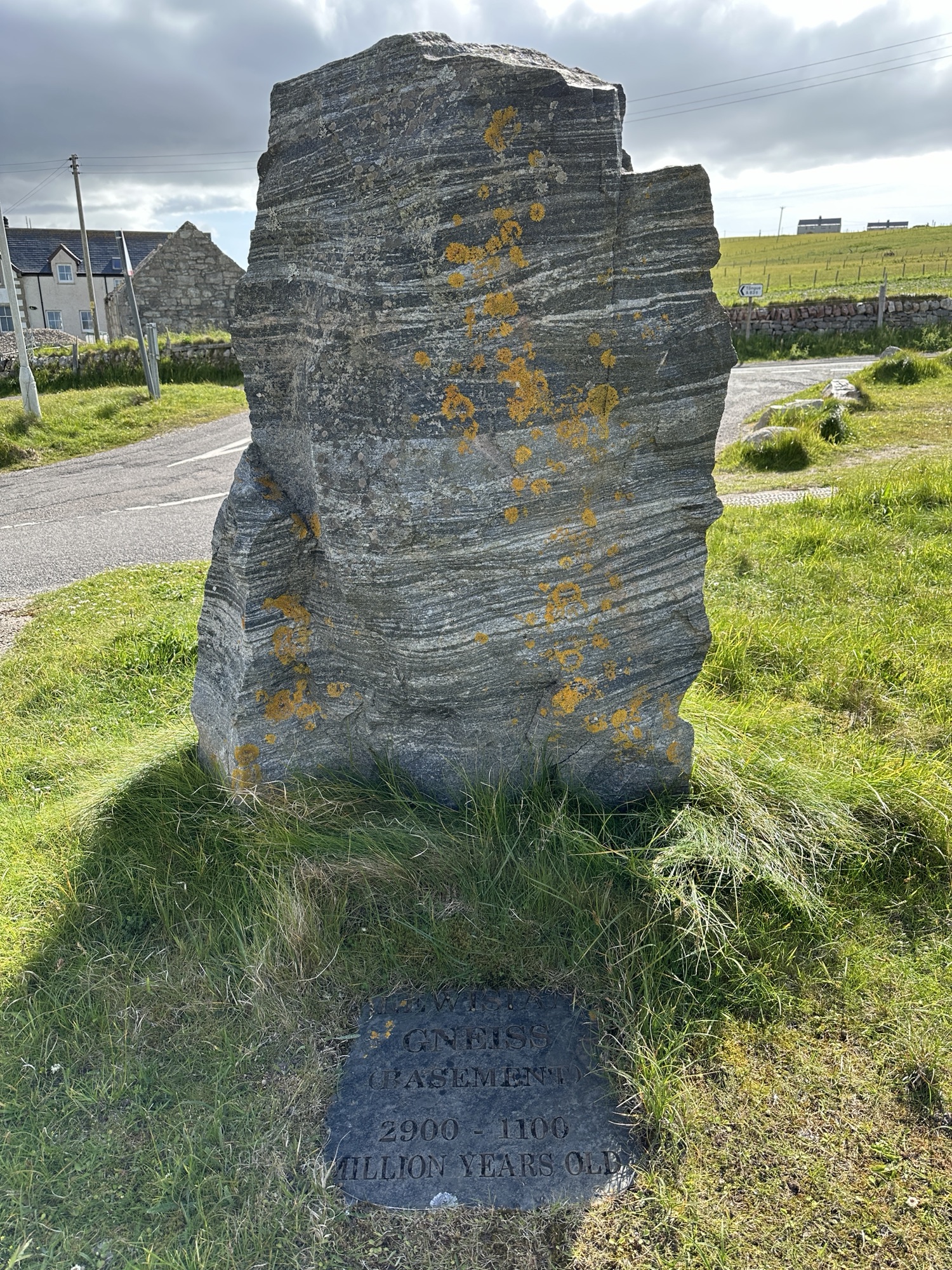
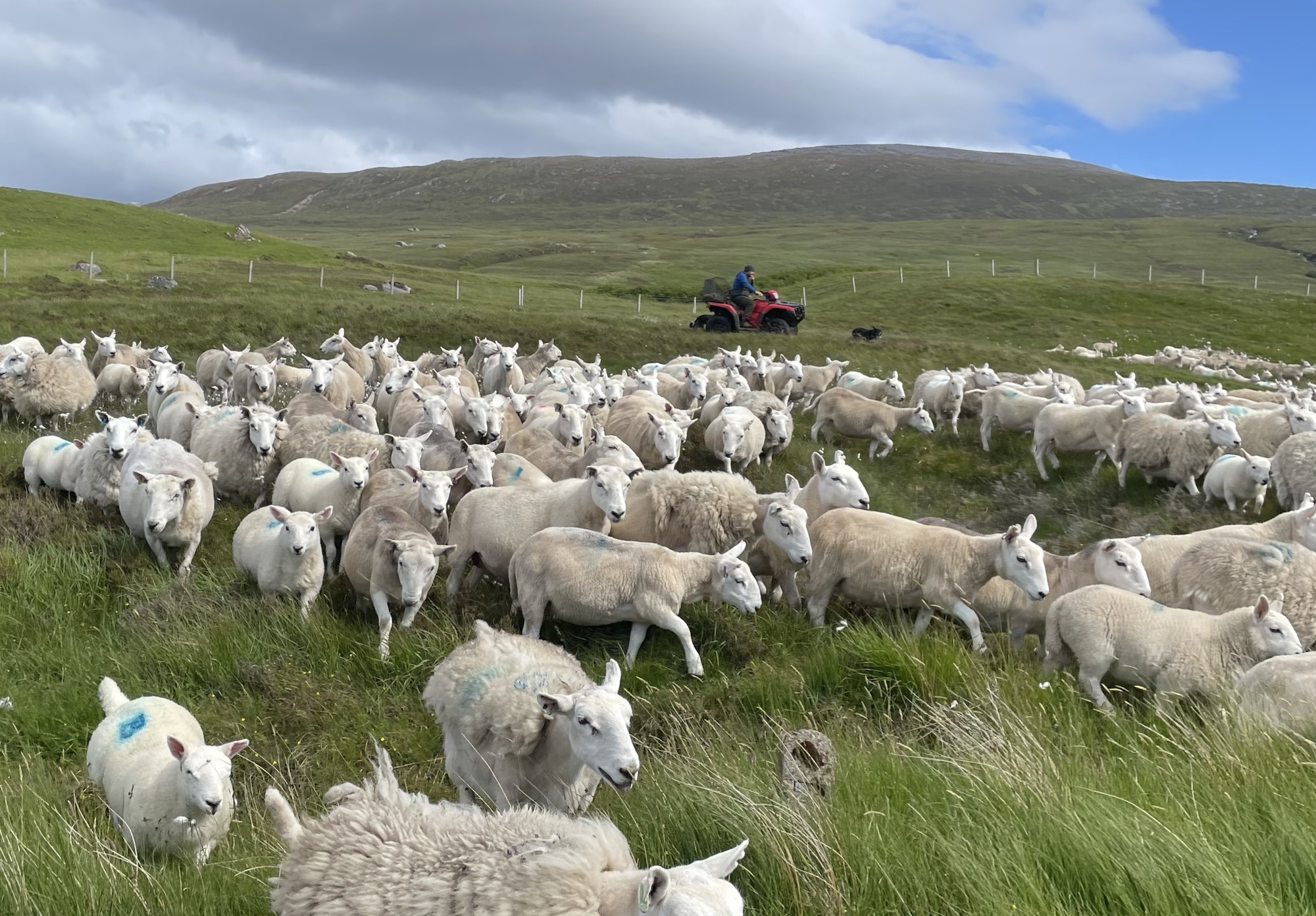
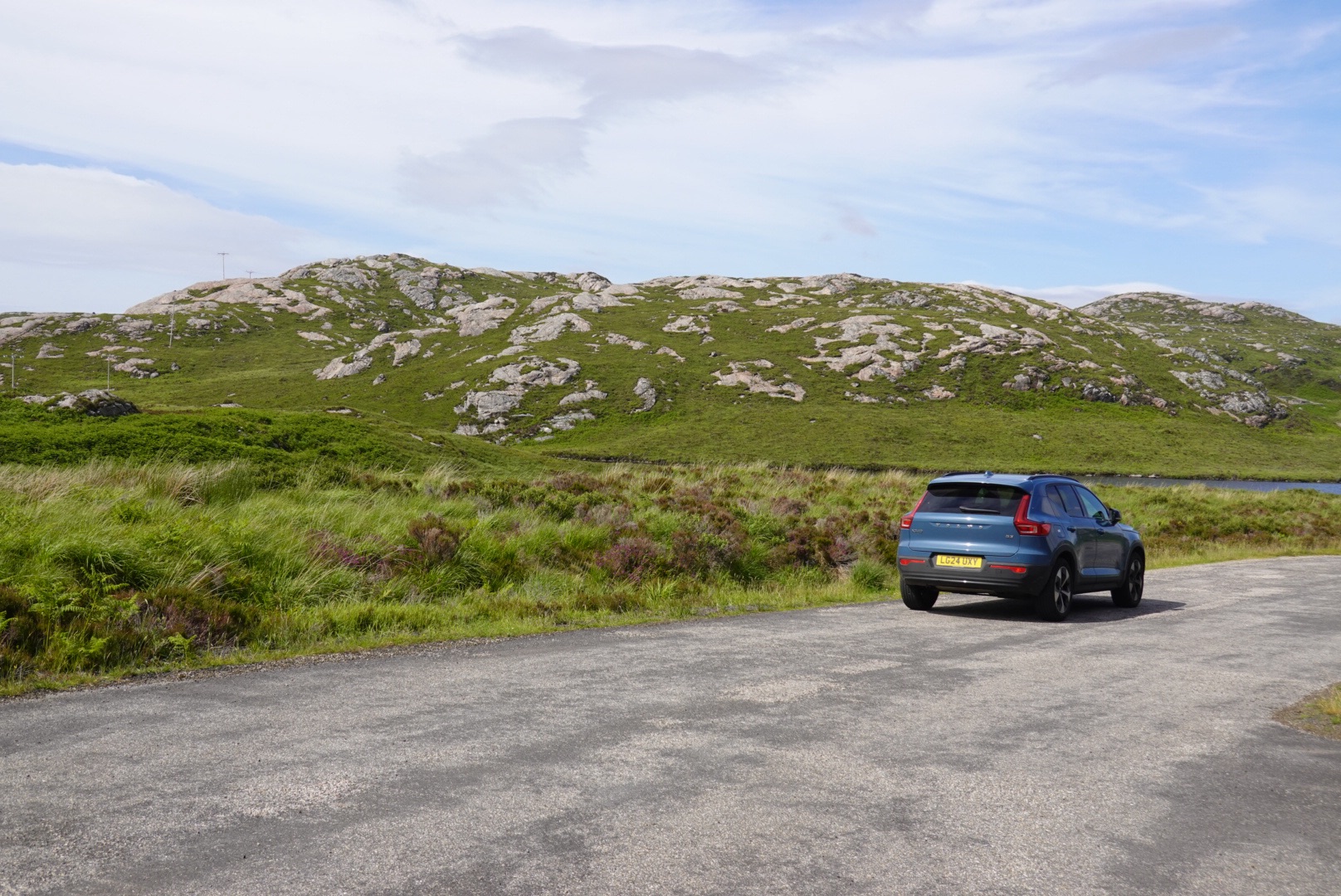
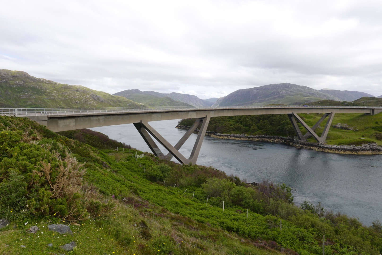
Ardvreck CastleCalda HouseIslands with unusual trees in Loch AssyntDrumbeg viewpointSecondary roads are challenging!Old Stoer church and cemetary, with graves of the McLeod clan dating to 1830sGneiss with mafic (high maganesium, dark colored) bandsDark igneous rock known locally as the Scourie dikes intrude the gneiss.The dikes also show involvement in deformationLewisian Gneiss on display in DurnessThese were being herded – toward the road we were on!So many, but also so cute.Mountains behind our carTypical Lewisian Gness terrain in the highlandsKylesku Bridge
Beach at Keoldale, south of Durness
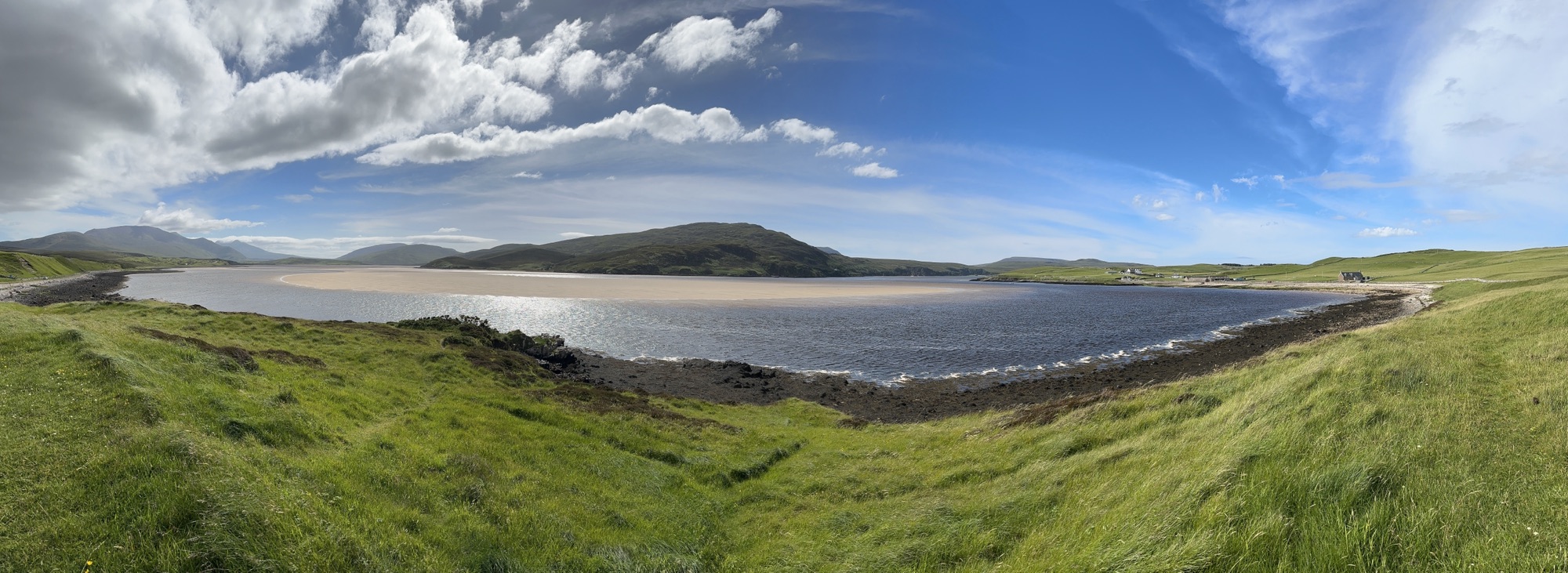
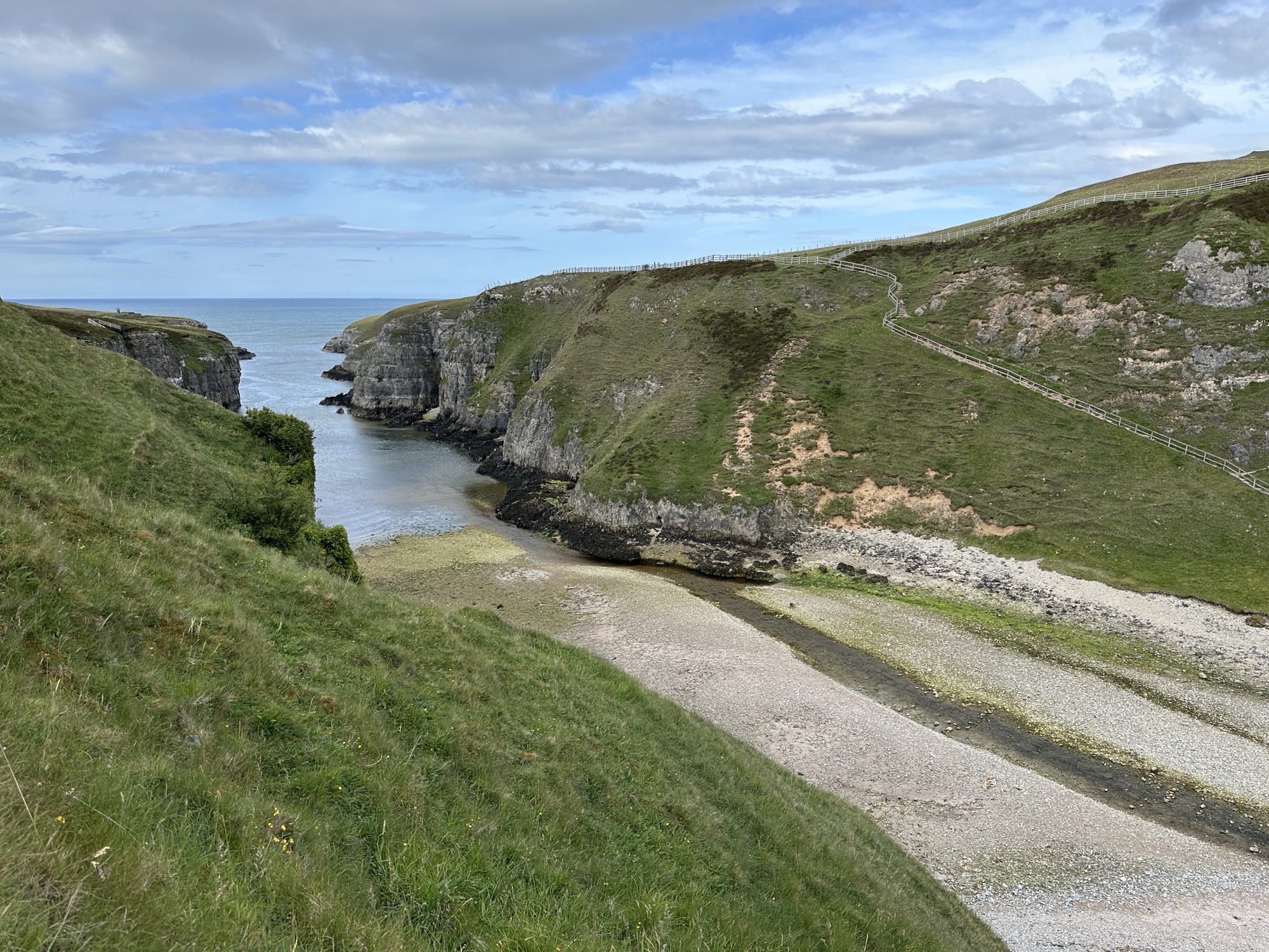
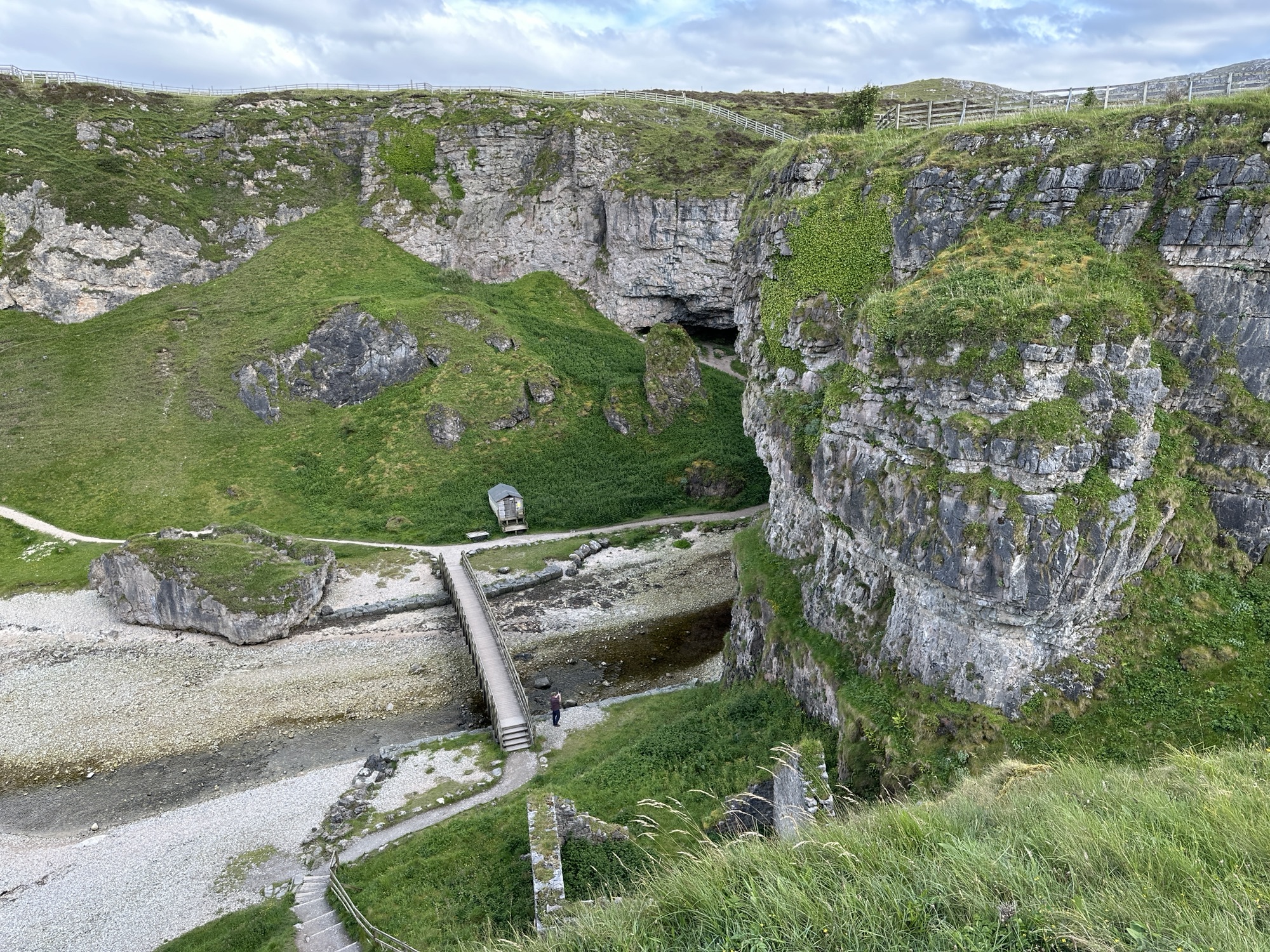
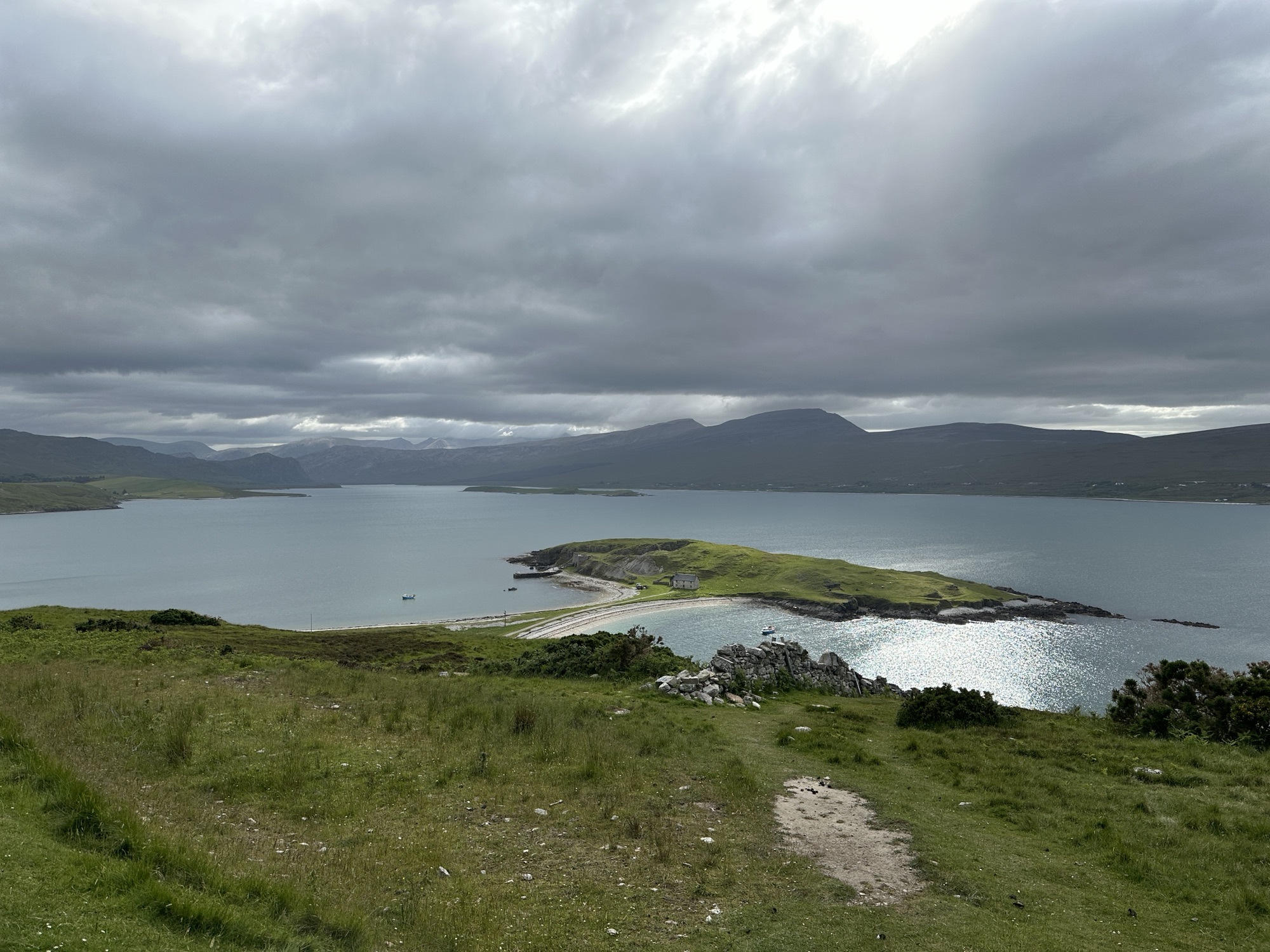
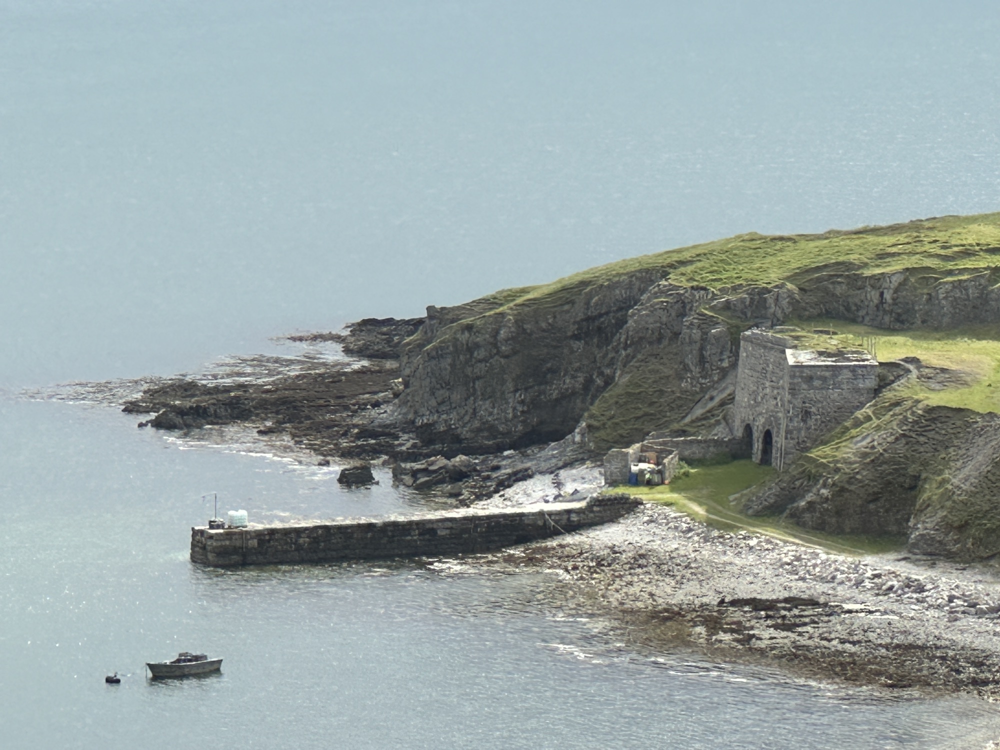
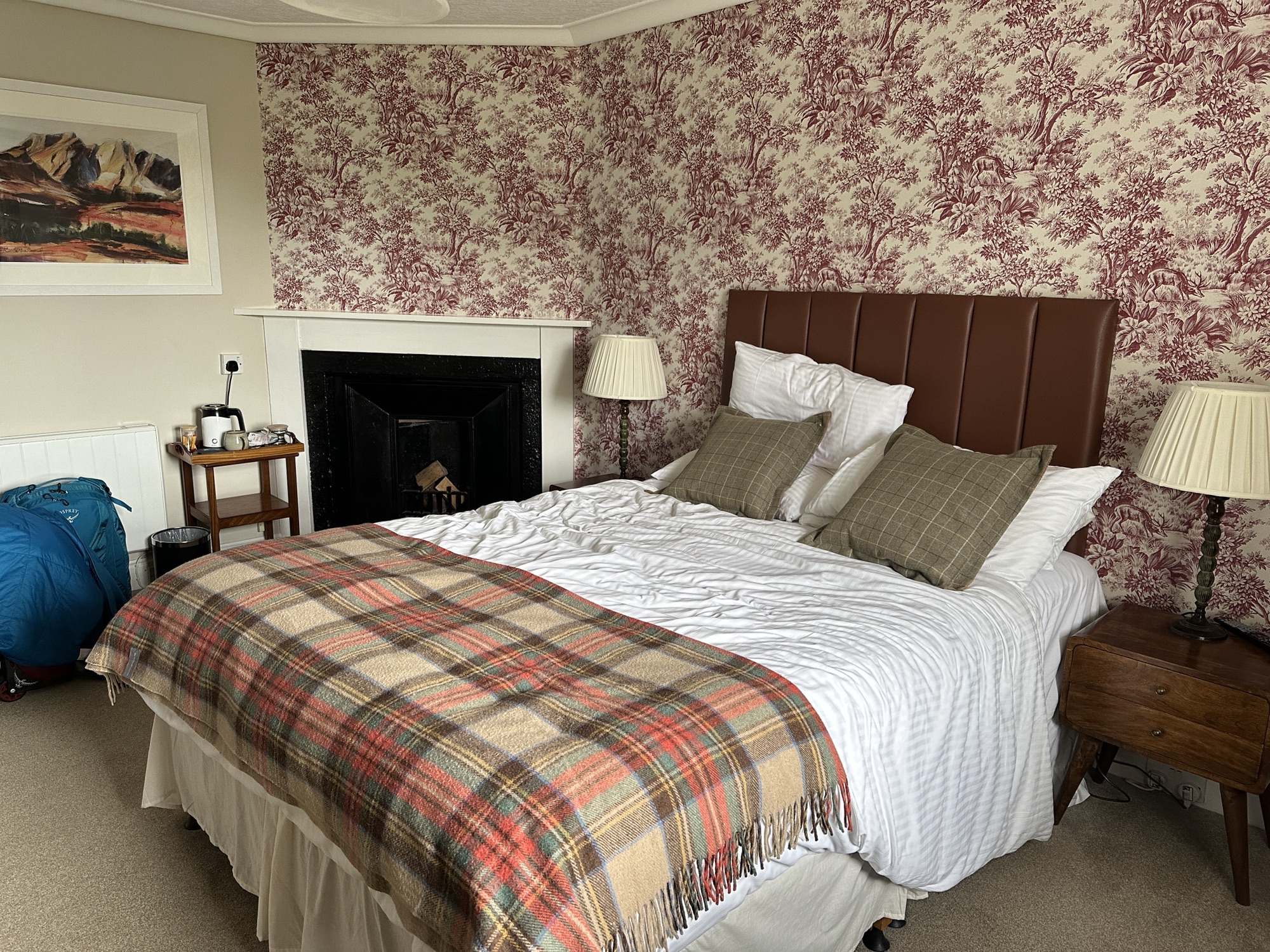
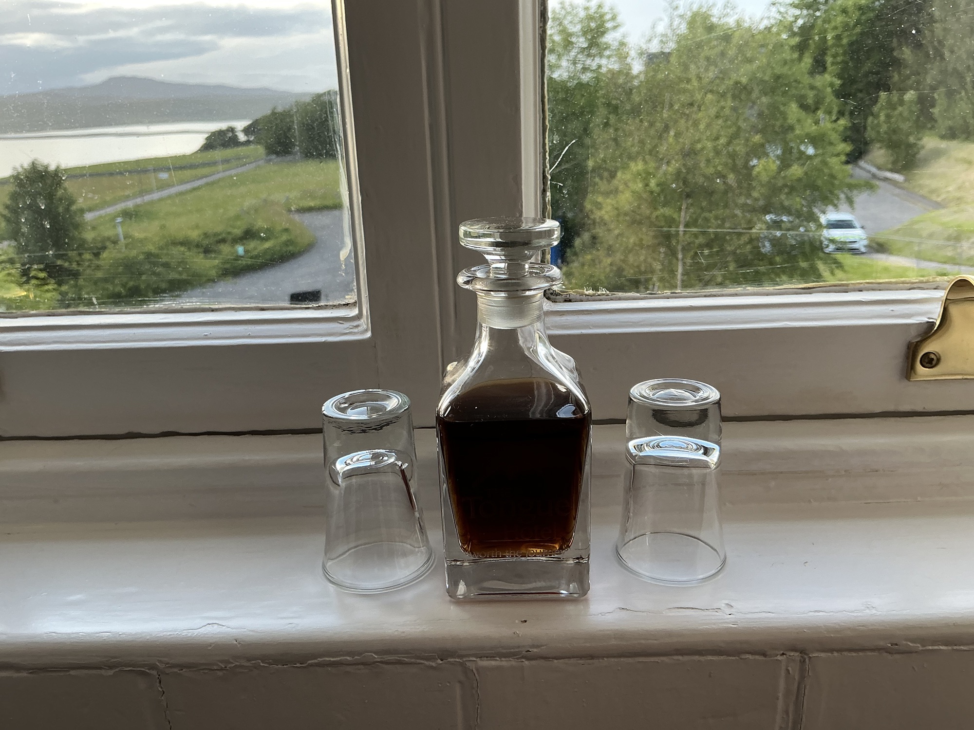
Inlet at Smoo CaveLooking down on the entrance to Smoo Cave in the Durness LimestoneKyle of TongueCloser view of kilns use to make lime from limestoneCastle Varrich lends its name to the bar and restaurant at the Tongue HotelTongue Hotel where we also stayed in 2013Our room at the Tongue Hotel included a fireplace (decorative) and a bathtub.Sherry is supplied in the room; note the glass is old so the view is distorted.
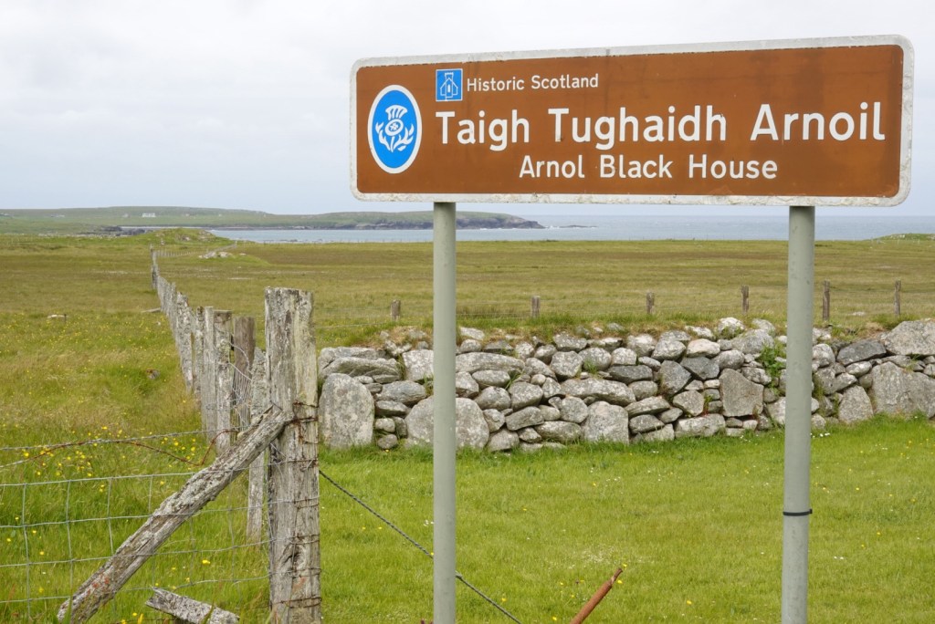
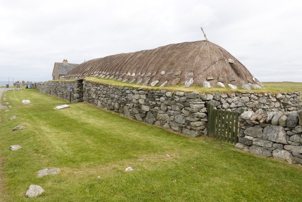
In the morning on Wednesday, cloudy but not foggy, we drove to the Blackhouse on the west coast of Lewis. This showed how people lived in the past century, up until the mid 1900s.
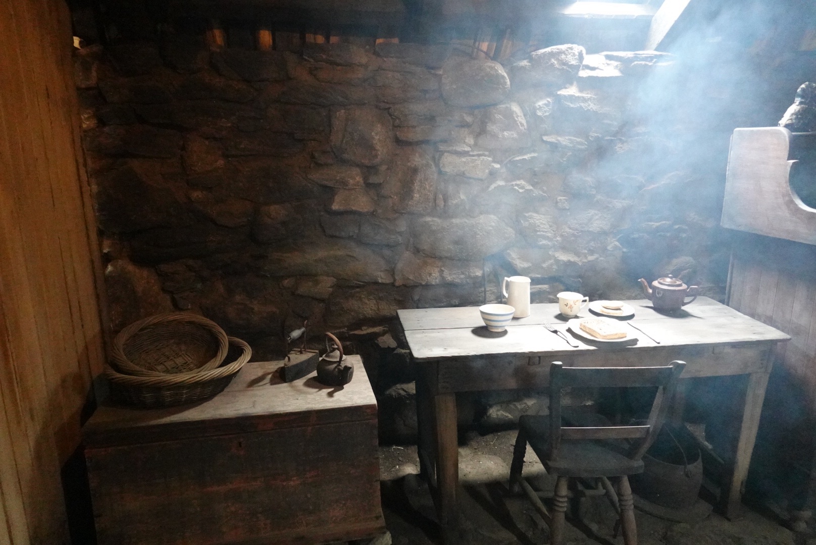
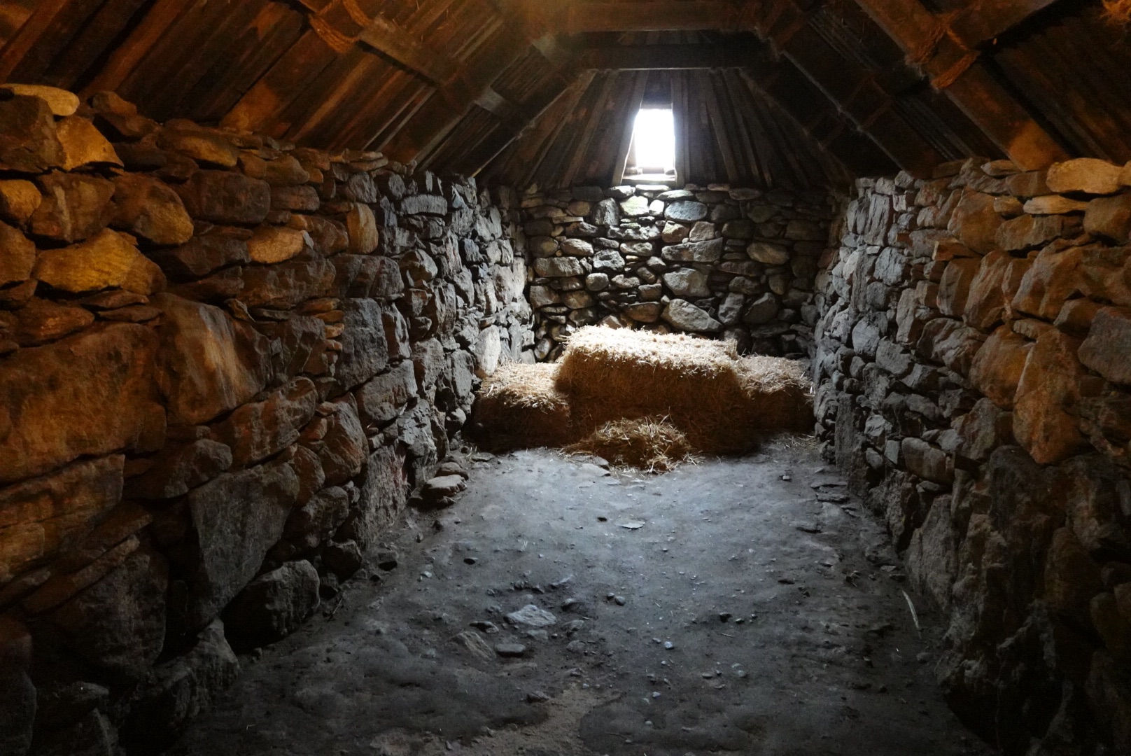
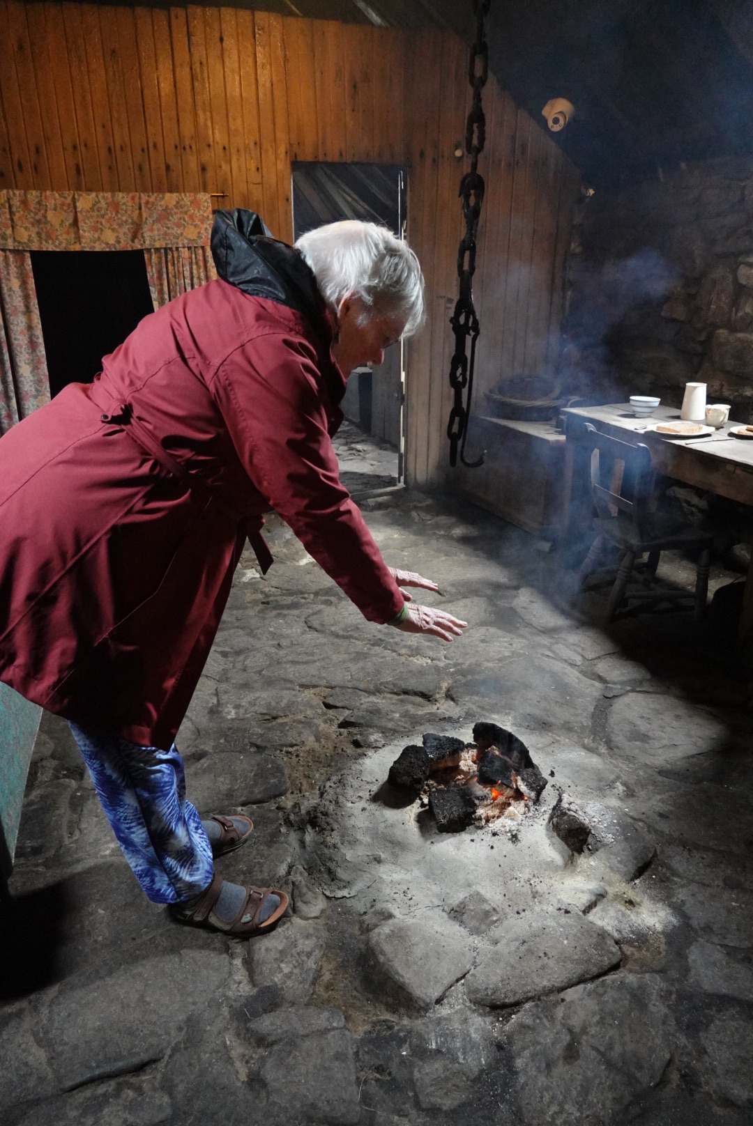
People lived in stone houses with little ventilation for a long time in the past, similar to what we saw at the Highland Folk Museum on our first day. A peat fire in the center of the house issued smoke up toward the ceiling, where it stayed a long time, smoking the meat for preservation. If you stayed in the house very long, you smelled like peat, too.
The house was long and narrow, partly because the animals were also sheltered there. Peat smoke prevented intrusion of many insects, and the animals helped warm the house. It is difficult to imagine the variety of odors in the house which would presumably be masked by the peat fire, which was kept burning continuously.
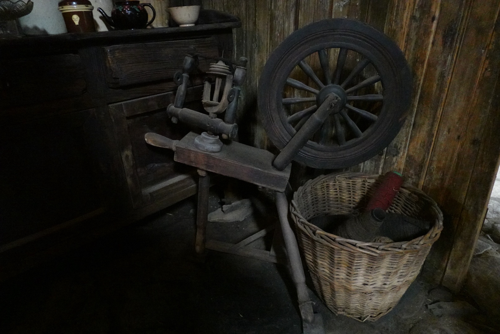
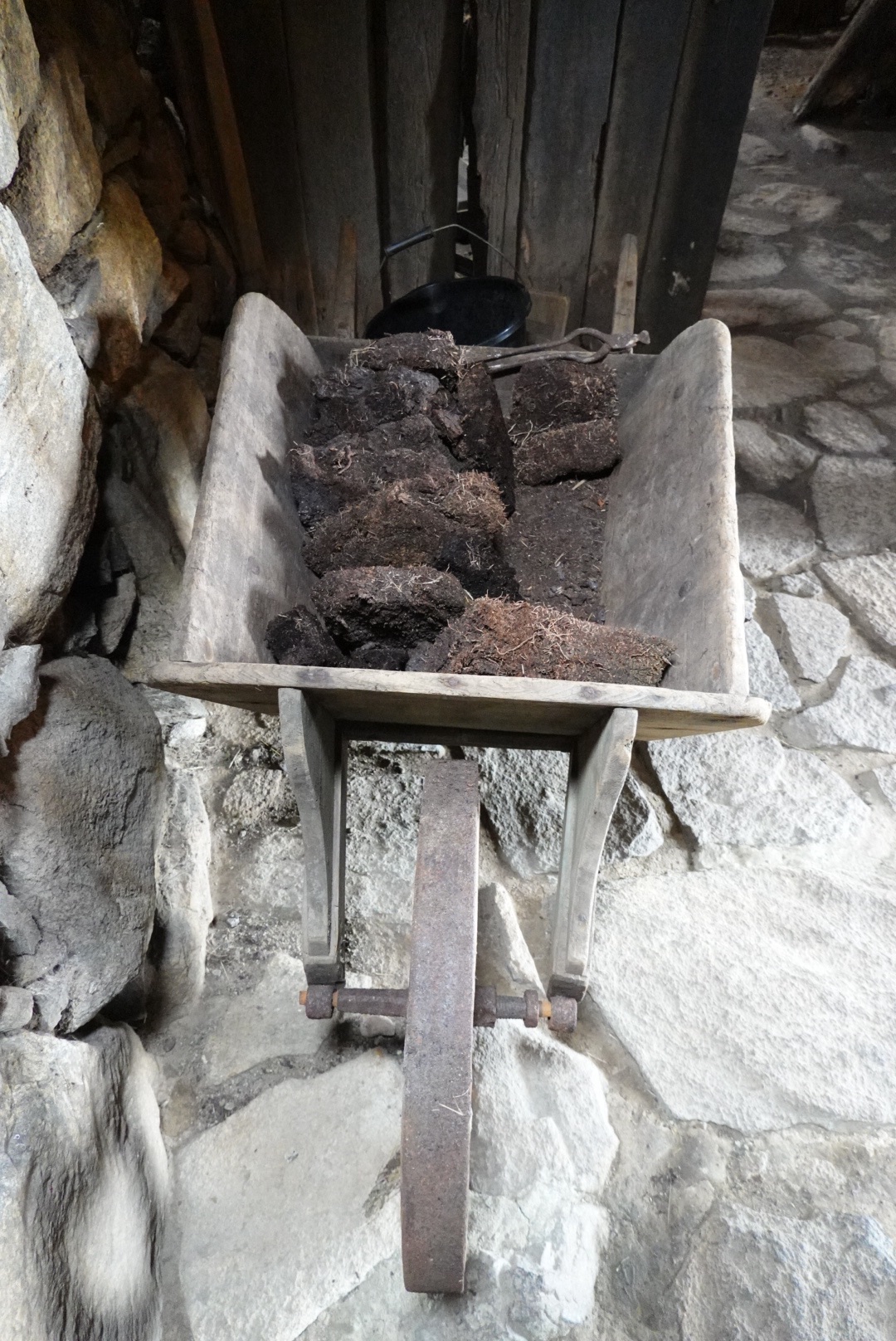
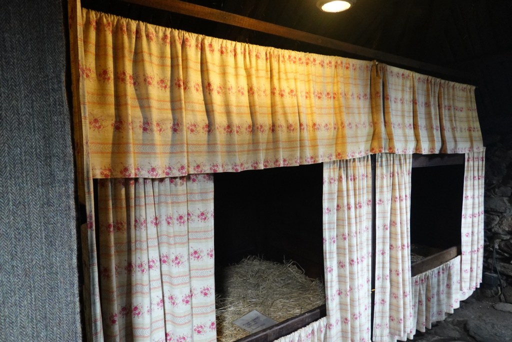
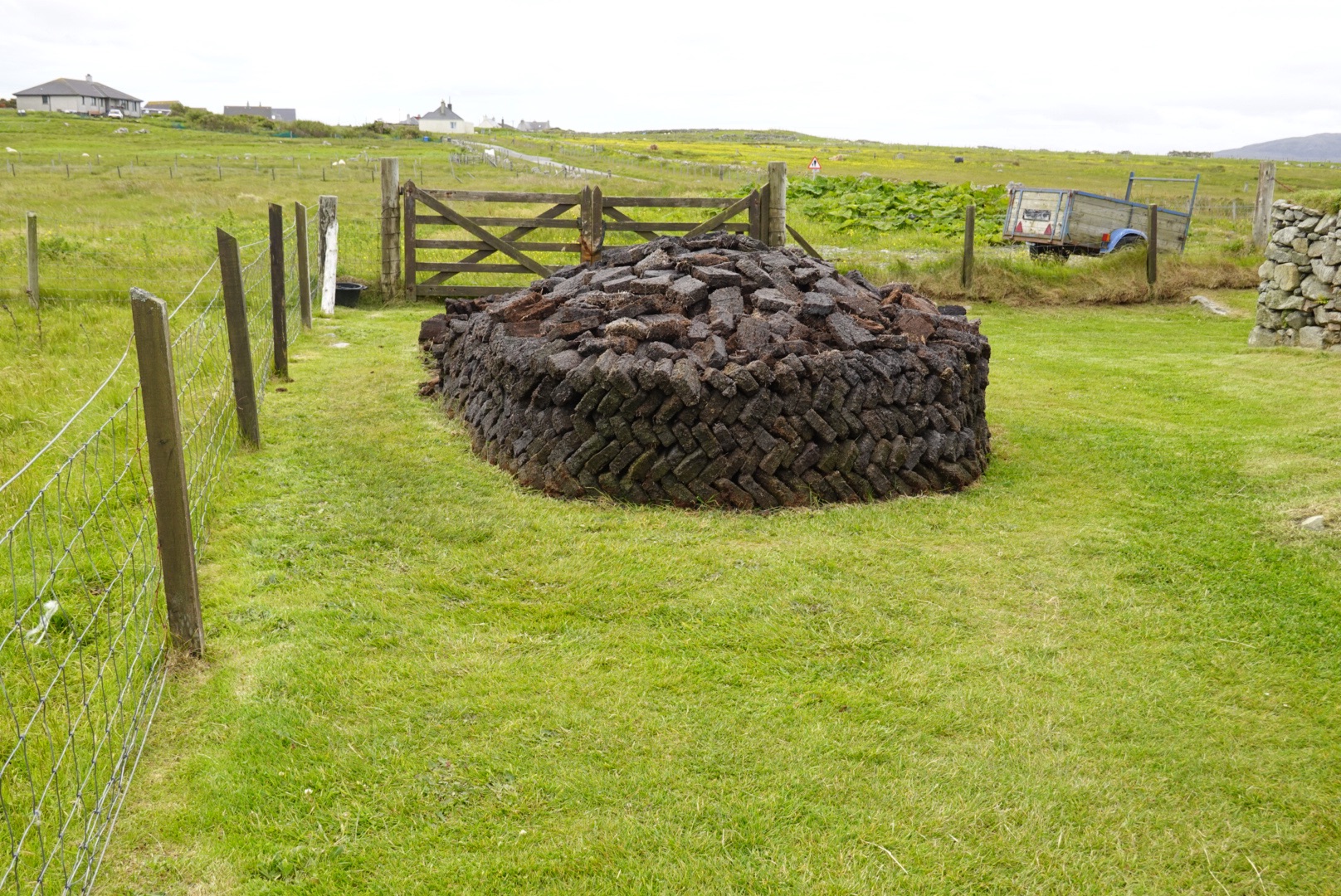
Spinning wheel and wool in the homeTable setting, iron, tea pot and basketsAnimal’s side of the houseLarge wheel barrel where peat driedBed alcoves with curtainsLarge, neatly stacked pile of peatClare warming her hands on the peat fire
Several structures in various states of ruin were at the same site.
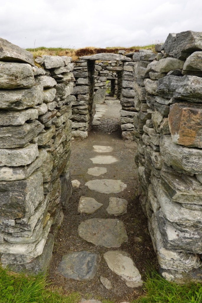
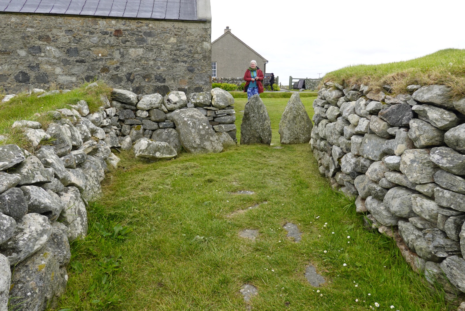
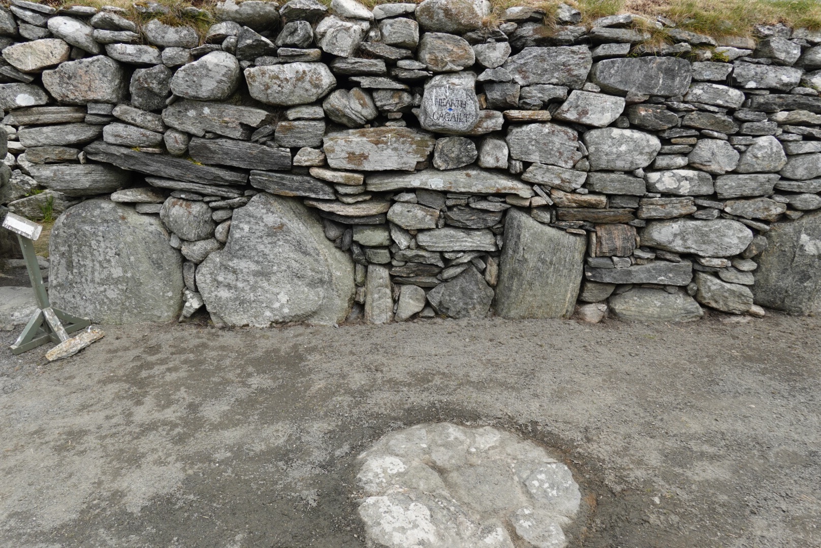
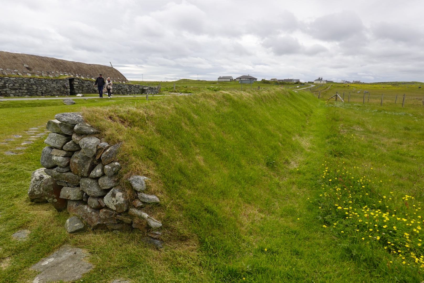
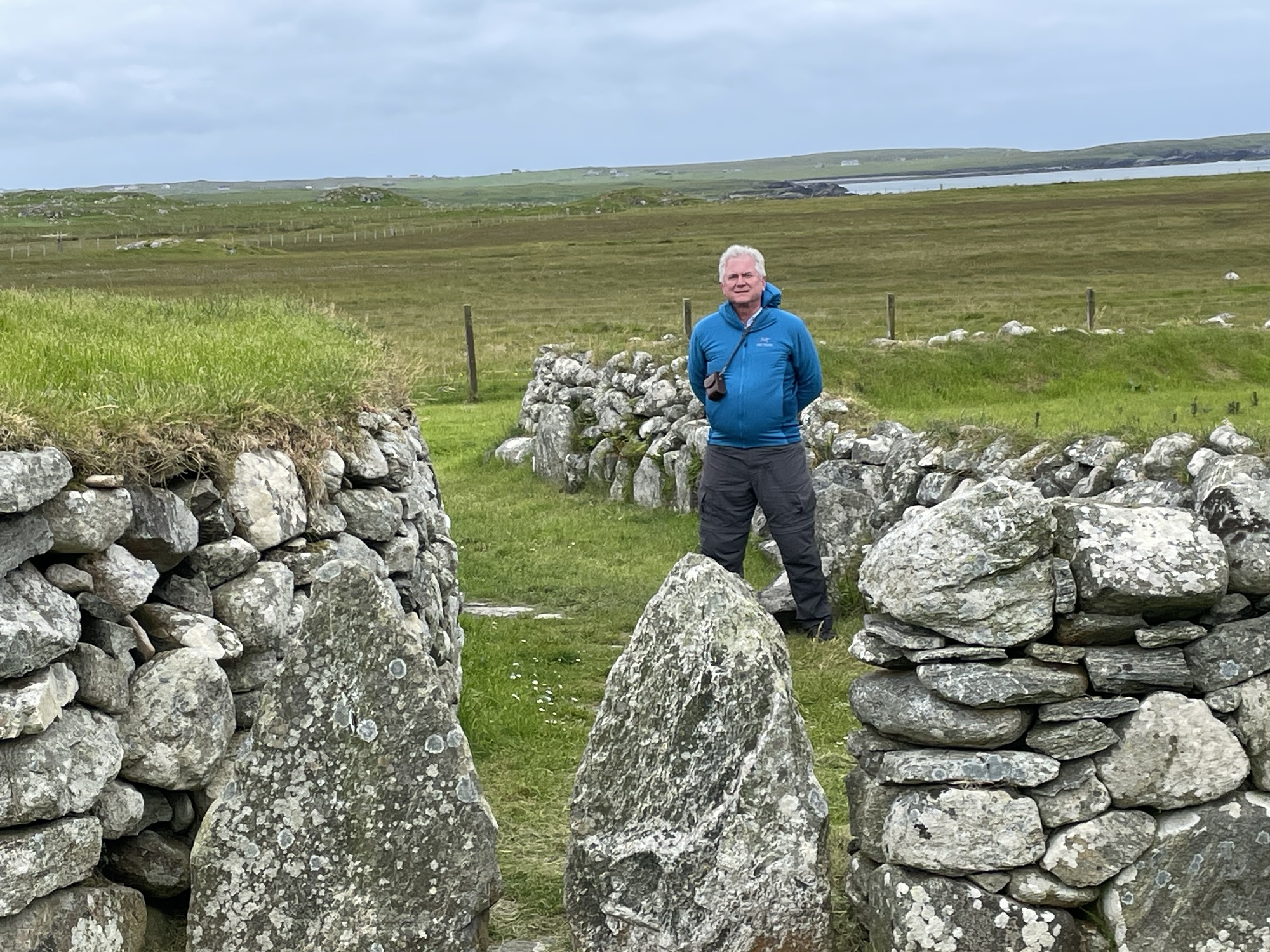
Four doorways almost in alignment in this now unroofed ruinClare outside one of the ruins. Note that the door would let humans through, but not sheepRuin, with the center ring where the peat fire once burnedFence with rocks on one side and a sloped grassy face on the other Brian standing next to an area that might have been used for keeping animals
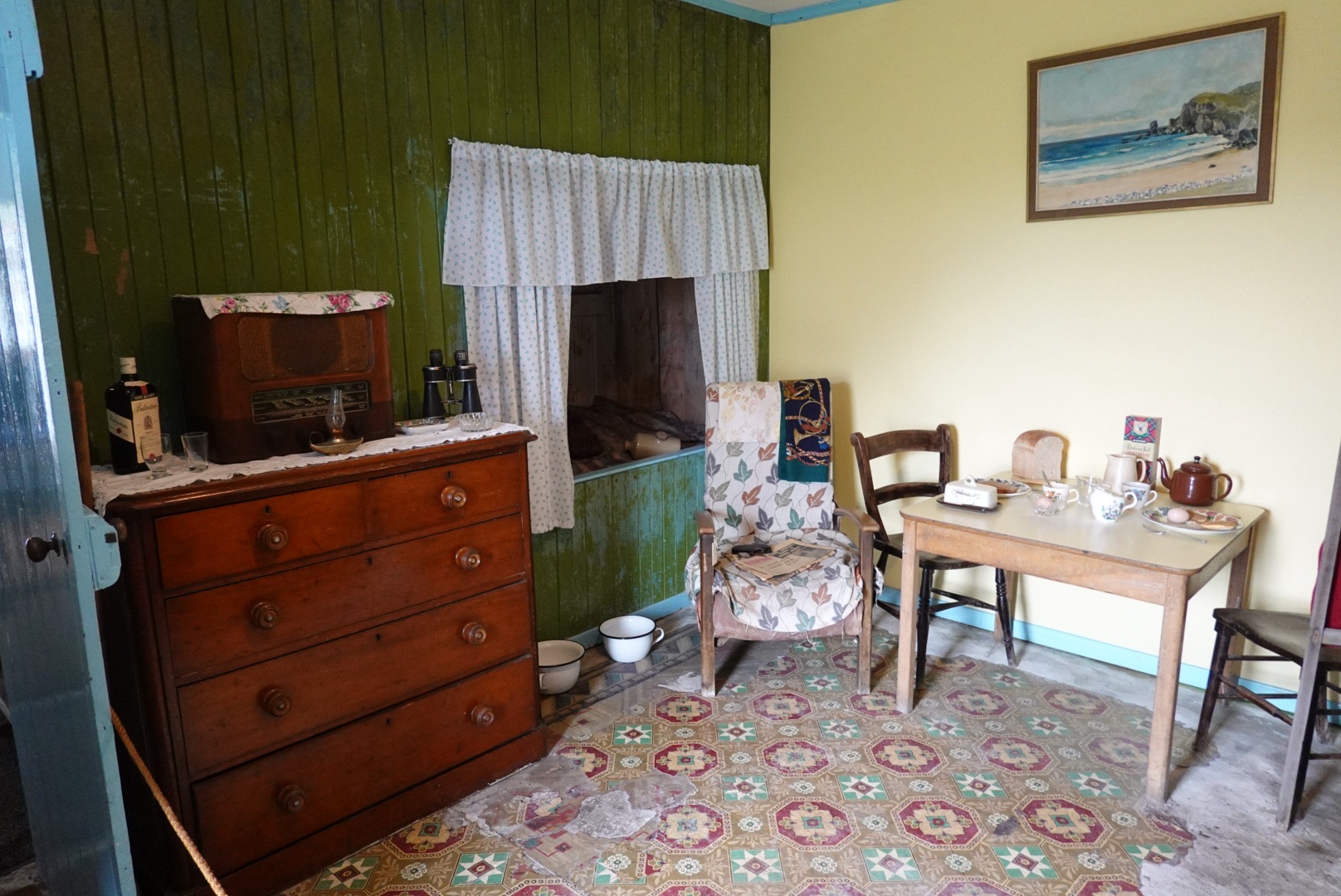
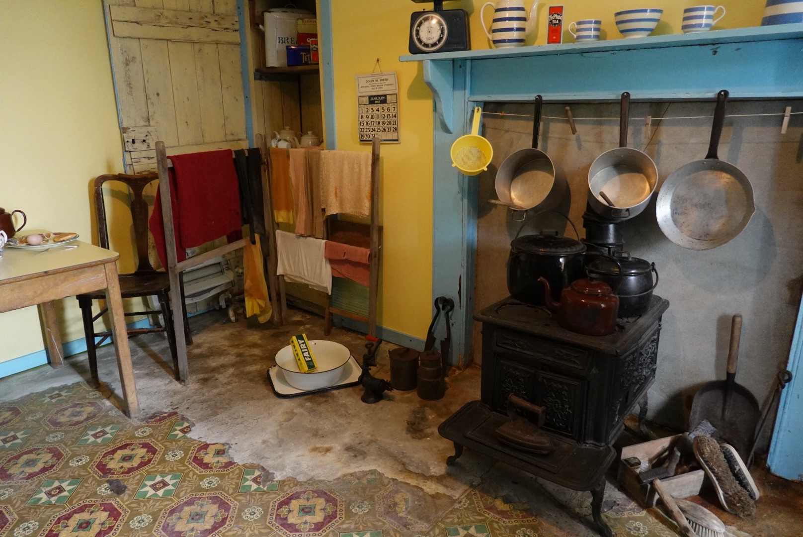
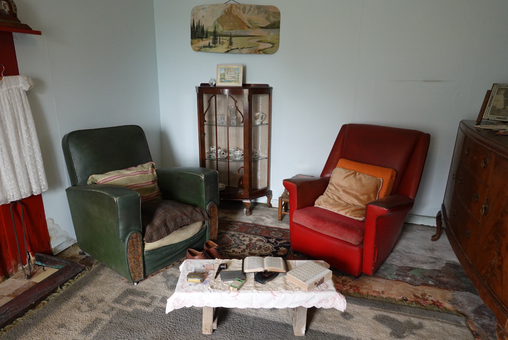
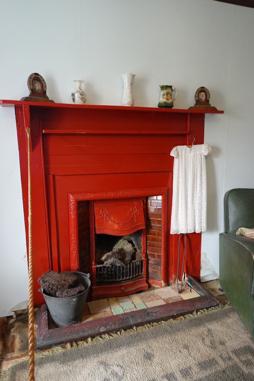
The last building was preserved from 1967. This made us feel old – we remember some of these artifacts and they are now in a history museum?
Whiskey bottle, radio, bedchamber like the older houseDrying rack, wash basin, pots and stoveComfortable chairs and table. Note the pipe and cabinetFireplace with child’s dress drying on the side
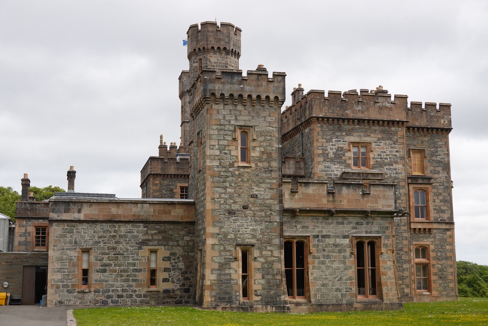
Lews Castle
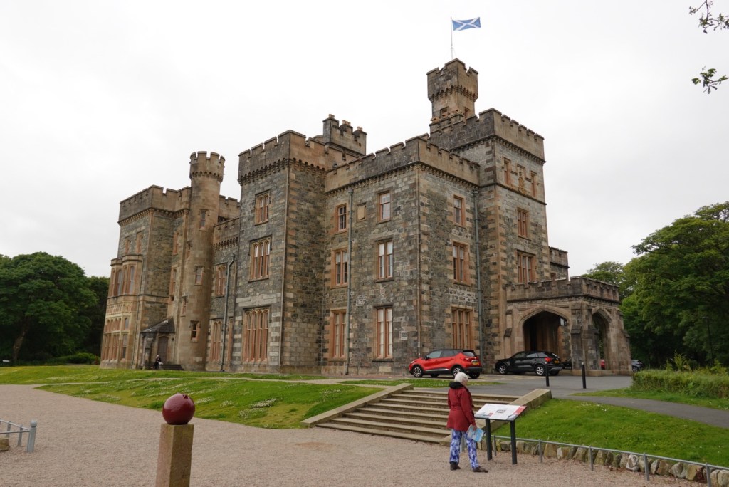
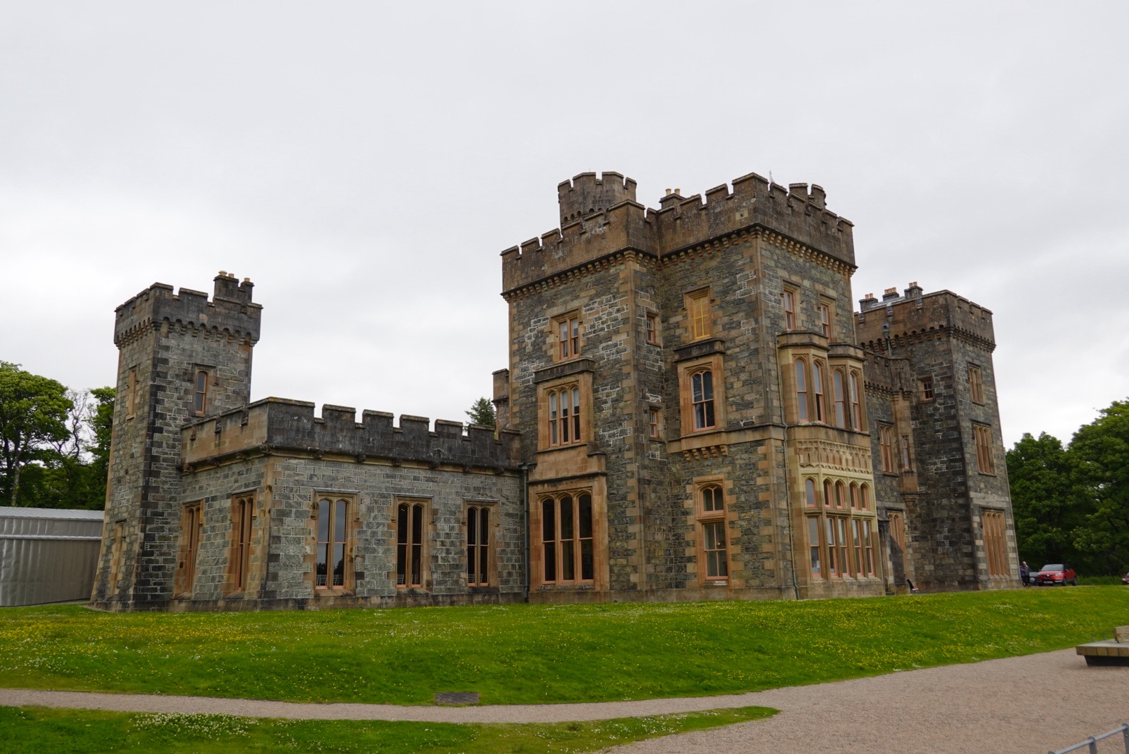
The Lews Castle in Stornoway, in view of our hotel. Its blocky structure tells us that this is a much more recent building than others we have seen so far on this trip.
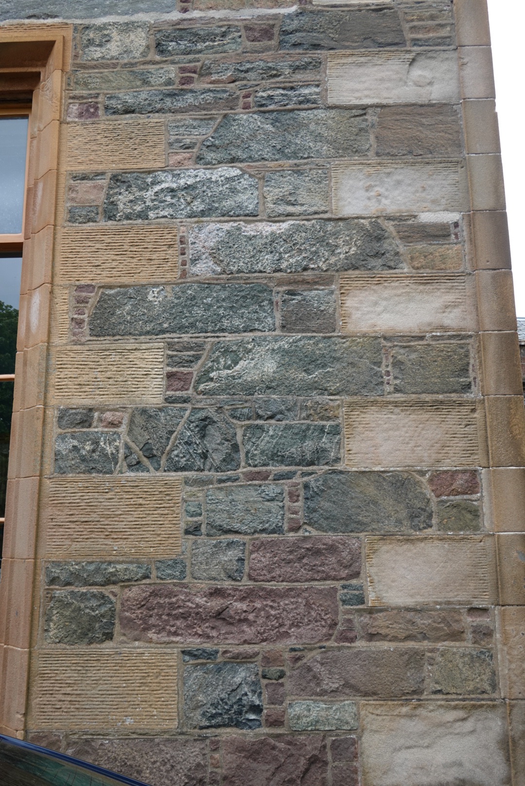
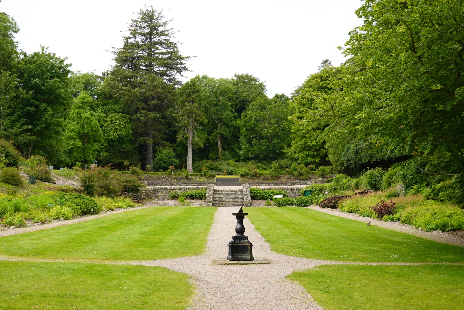
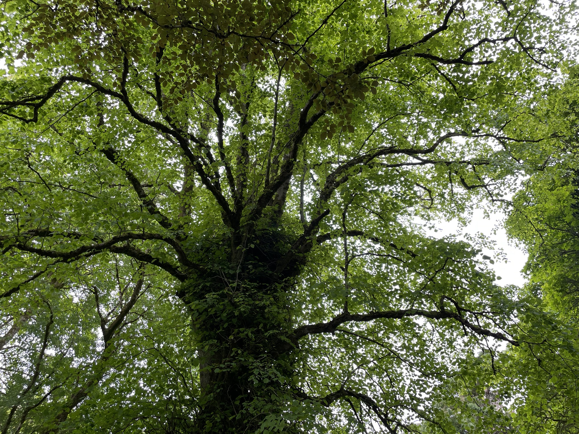
Clare reading a sign in front of the Lews CastleView of sideFront of castleA variety of rock types were used in the outer wallsSunken garden with a (useless?) sundial in the centerStrangely shaped, very large tree
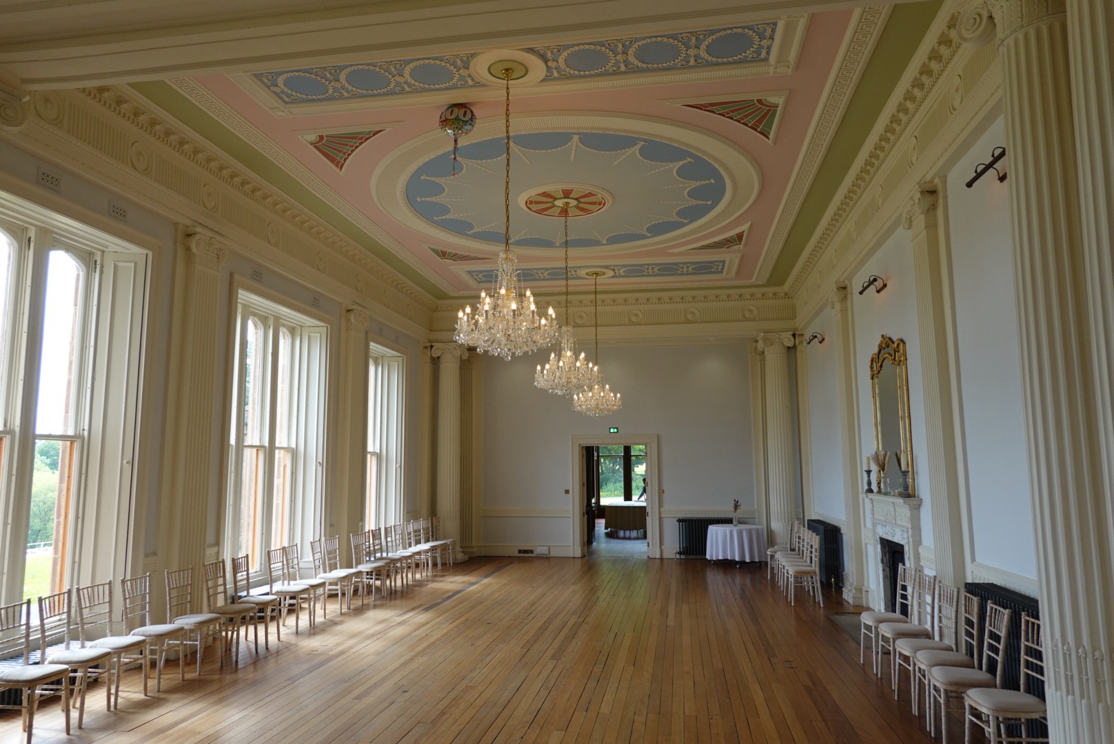
We toured the Lews Castle using an augmented reality app and learned much of its history.
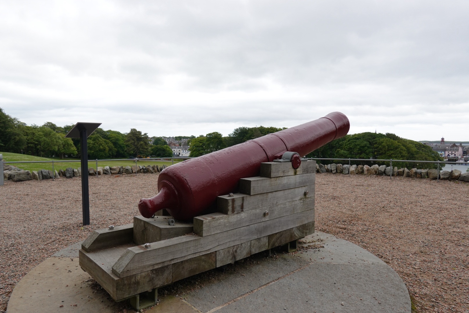
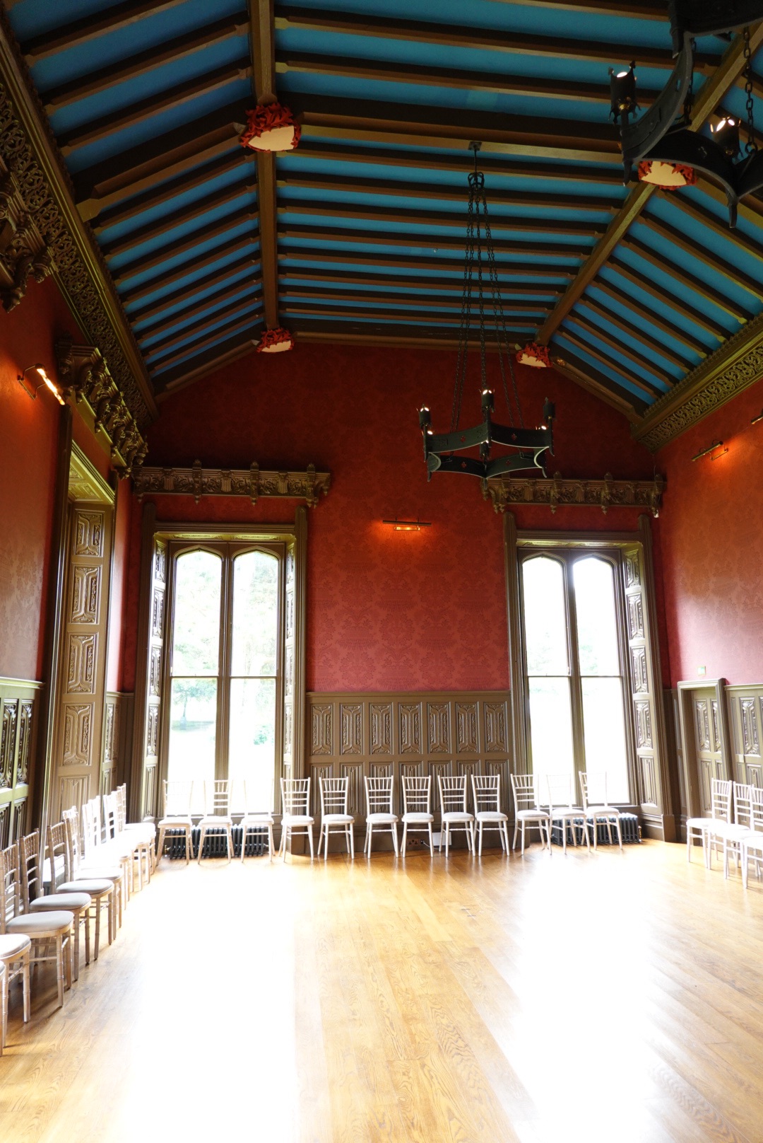
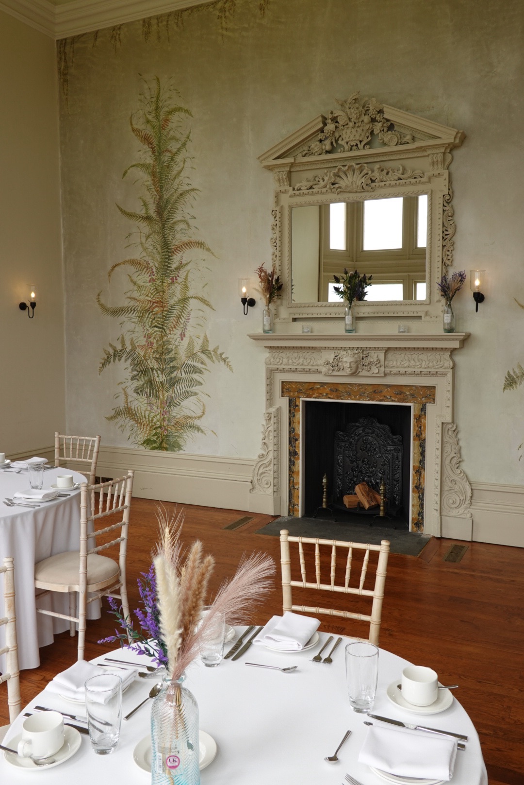
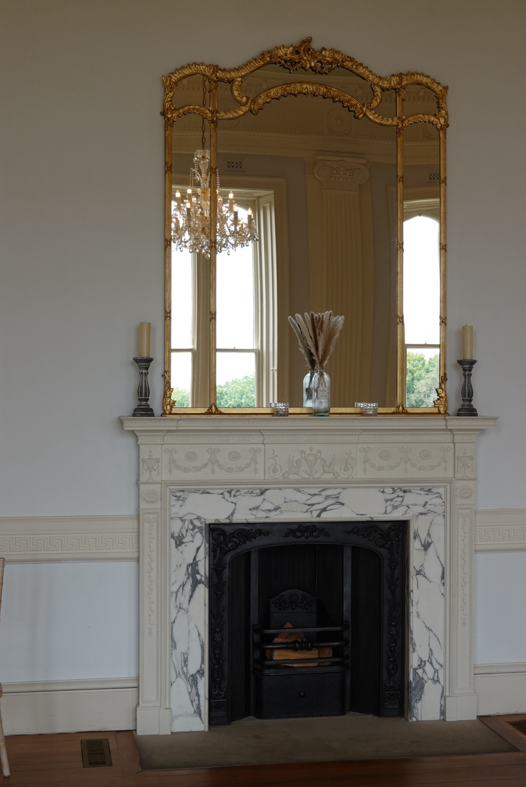
You can find cannons everywhere.Looking back toward Stornoway Dining RoomMorning RoomBallroom FireplaceBeautiful chandeliers in the Ballroom
The rooms on the first floor are open for viewing, but the upper floors have been converted into private apartments. The castle was built by Sir James Matheson after he bought the whole island of Lewis in 1844. In the 20th century the castle was used for housing soldiers in wartime and later as a school. In the 1990s the castle was declared uninhabitable and fell into disrepair. It was renovated with an added museum and cafe in 2006.
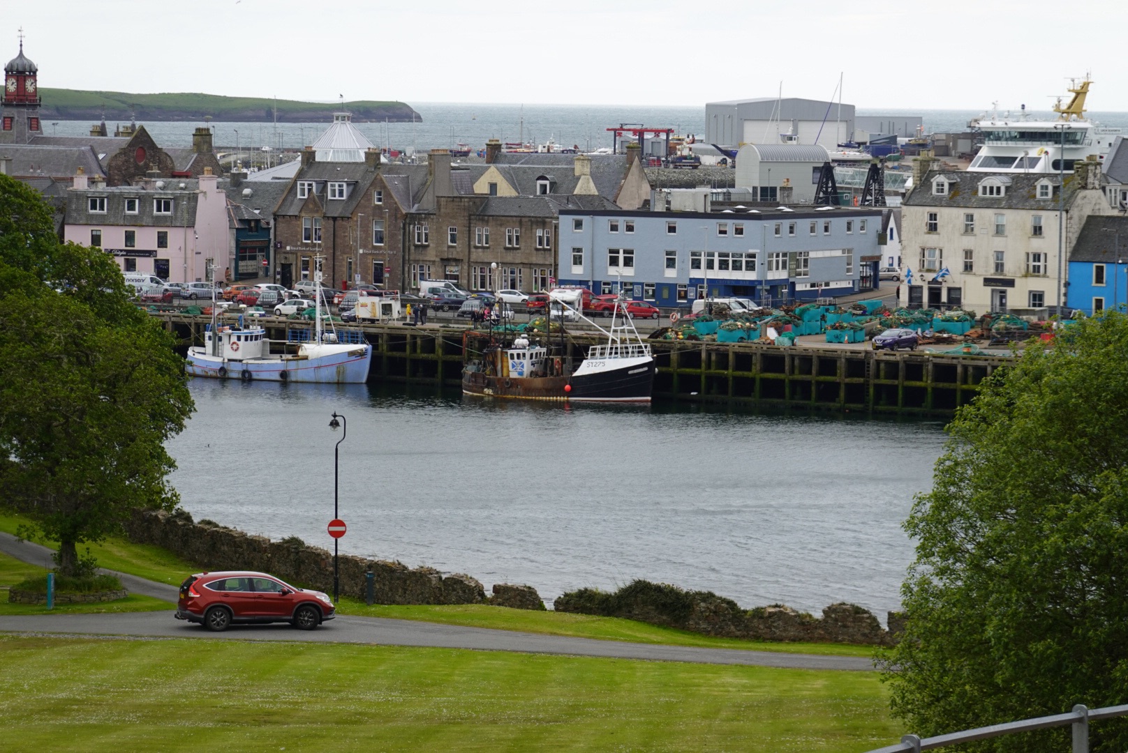
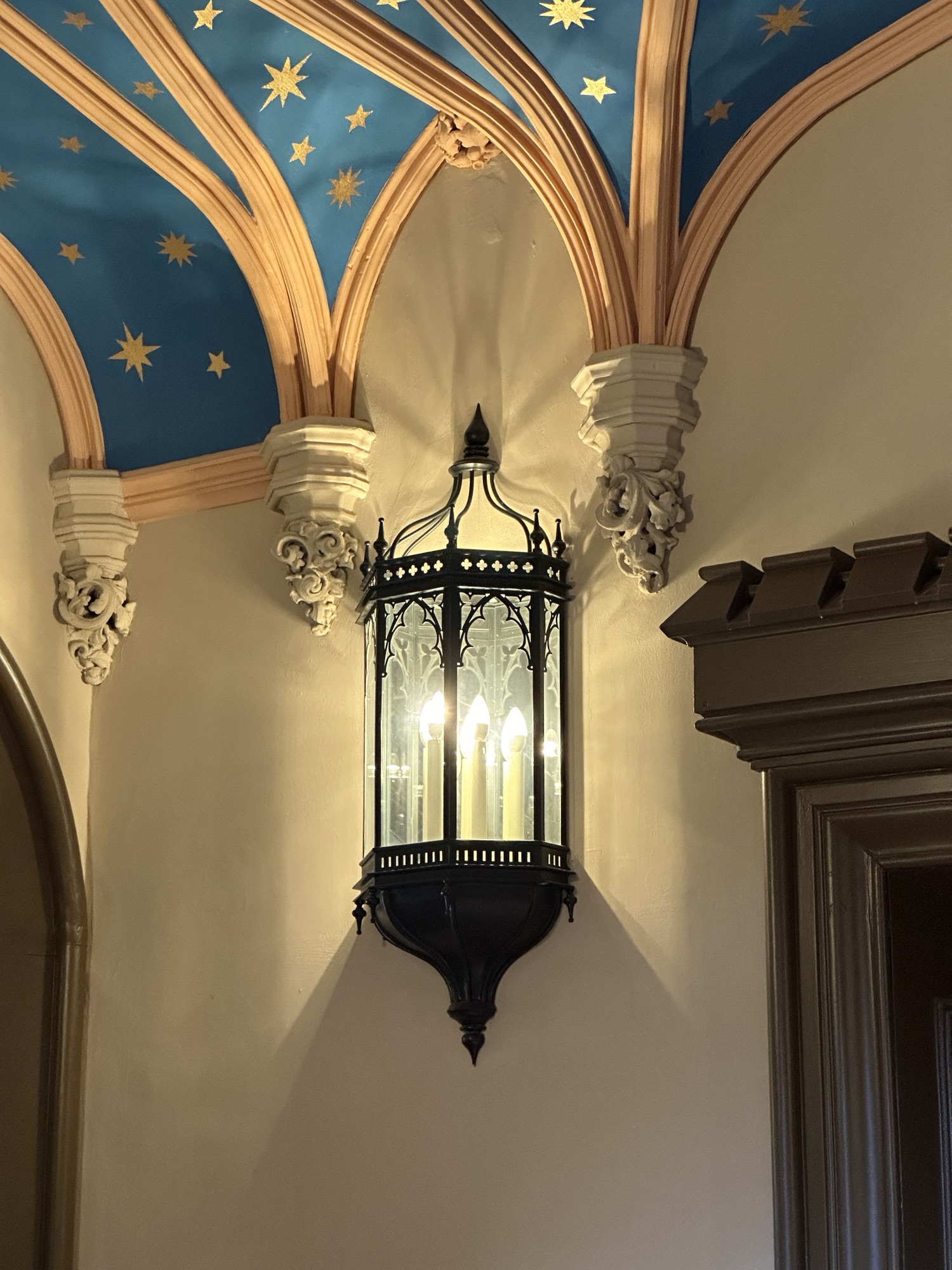
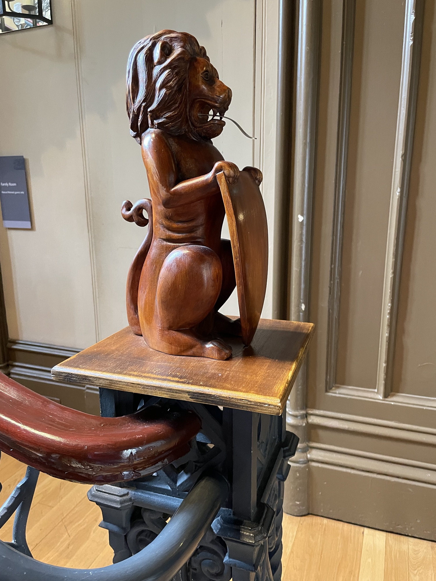
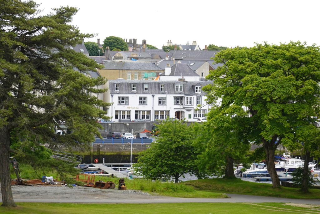
Large wall sconces in the hallway and stars on the ceilingLions decorated the staircaseWe stayed at the Royal Hotel, which is seen here from Lews Castle. The bistro restaurant is named HS-1 after the first 3 characters of the postal code.
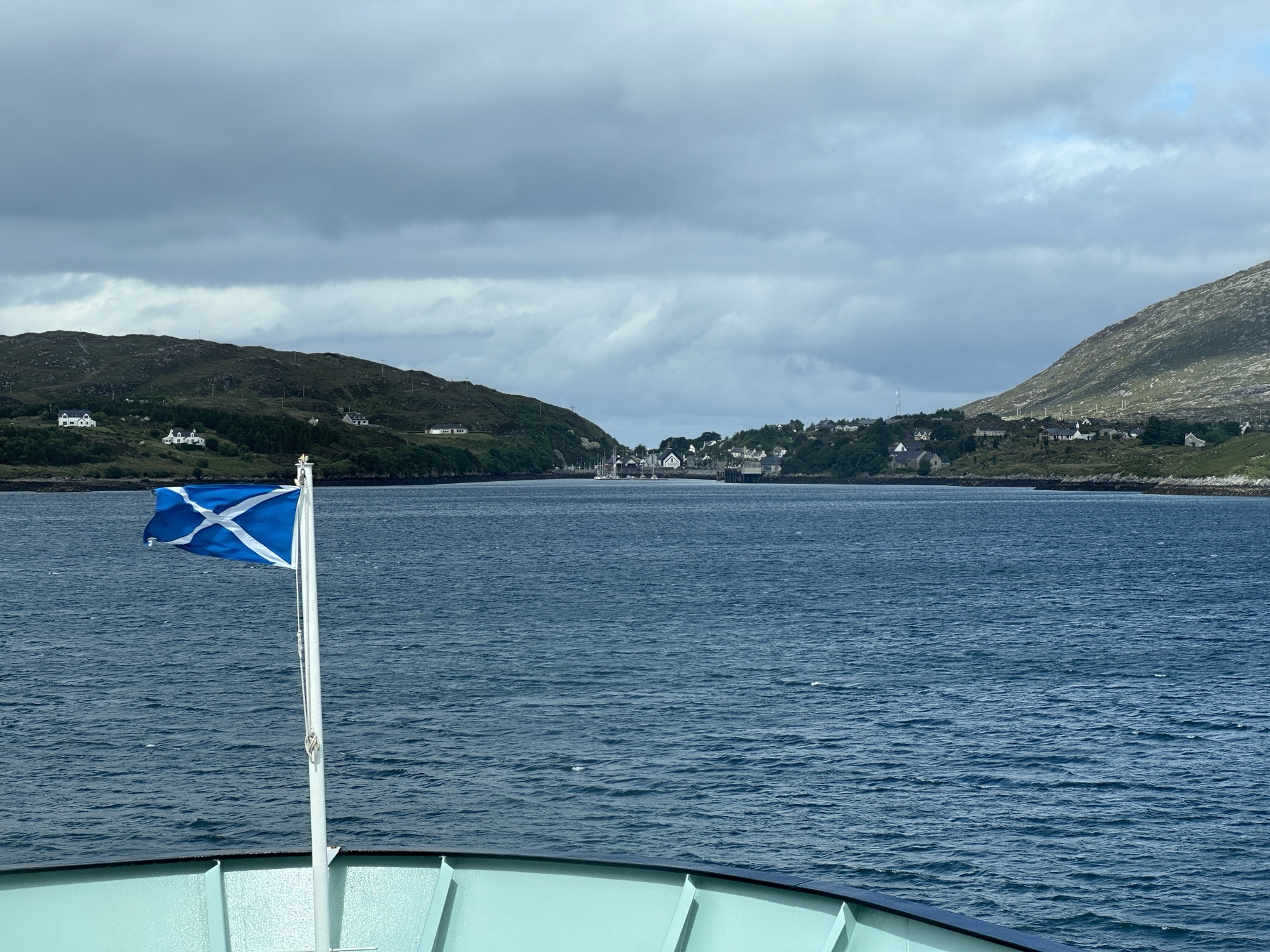
Three nights on an island seemed like it would be enough time to explore everything, but it’s really just two full days. We spent them well, but it seemed too short. This morning we ride the ferry across The Little Minch to Tarbert on Harris Island in the Outer Hebrides. Time to catch up on the blog! Turned out the WiFi was not good enough on the ferry, so we watched the scenery.
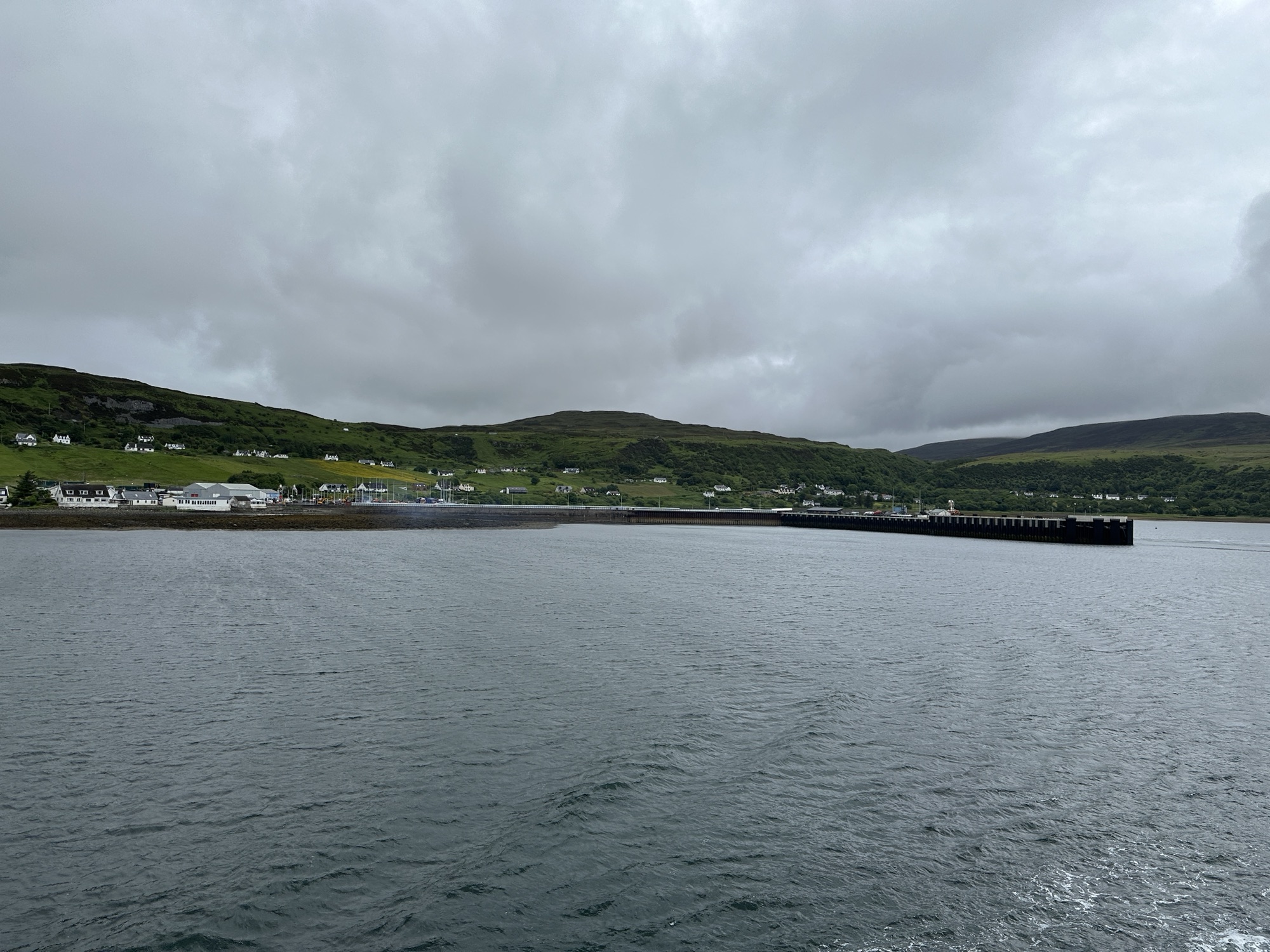
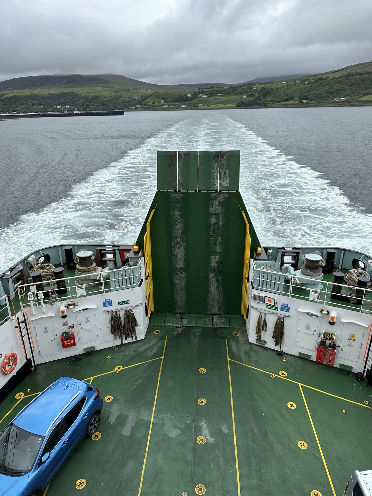
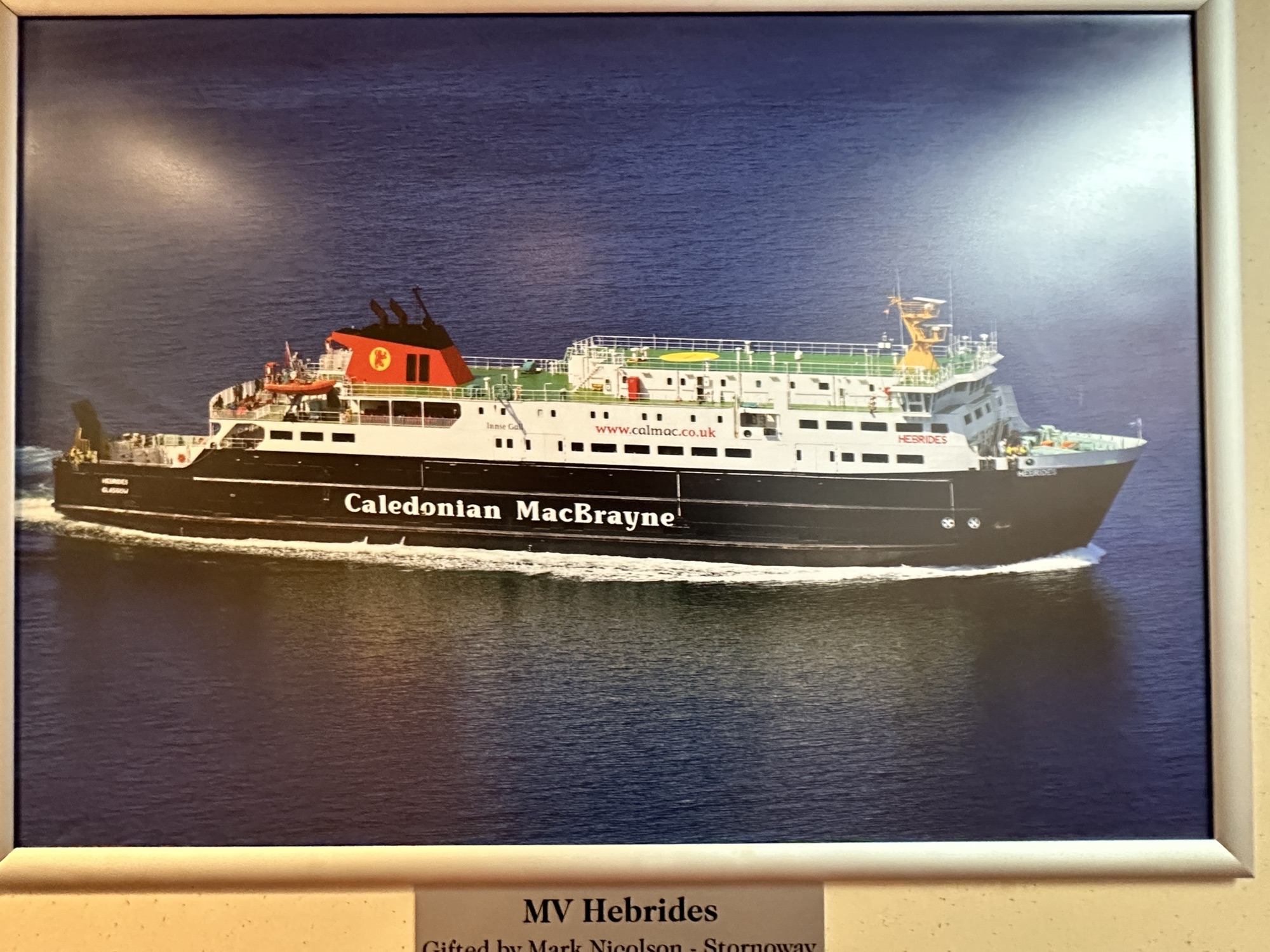
We left from the town of Uig, shown here Back of the ferryFramed photo of ferryLooking forward toward Lewis and Harris
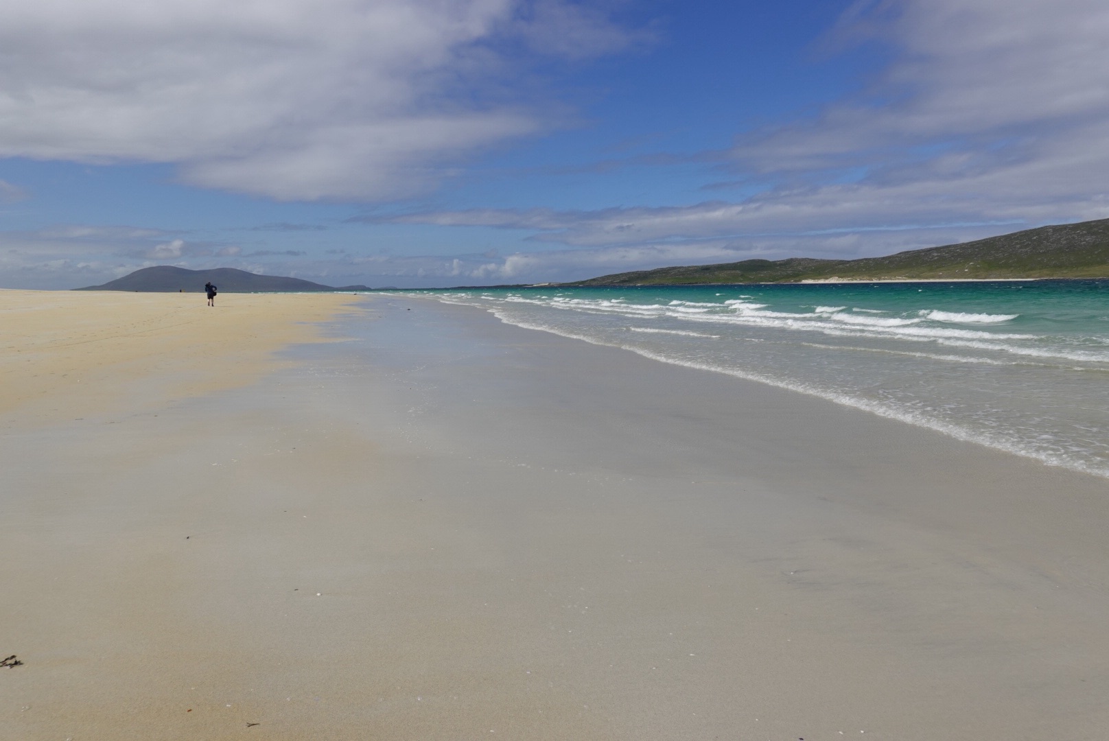
About a 1.6 hour ferry ride away from the Isle of of Skye led us to Harris, an island of the Outer Hebrides. So different! Here, the rocks are felsic, like granite in composition. And Precambrian in age, estimated to be about 3 billion years old. Unlike Skye, only a few trees dot the Harris area, but the beaches are renowned. Many tourist information sheets say that the beaches in Harris would be very popular, if only the weather were warmer.
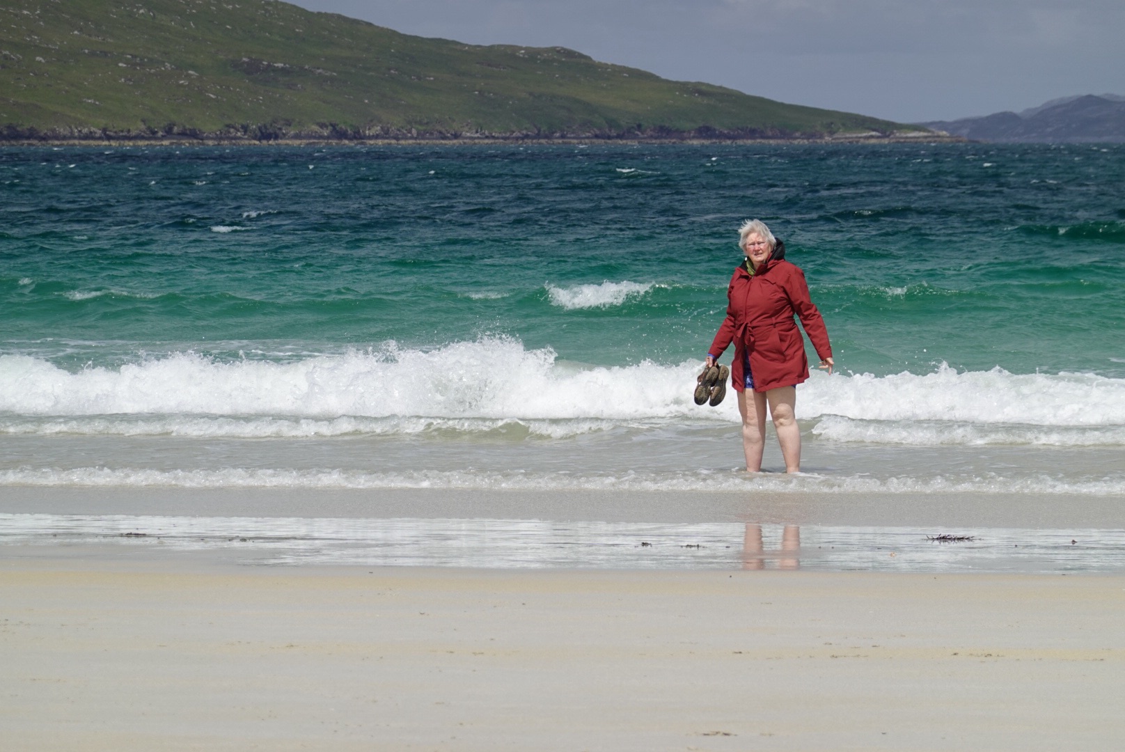
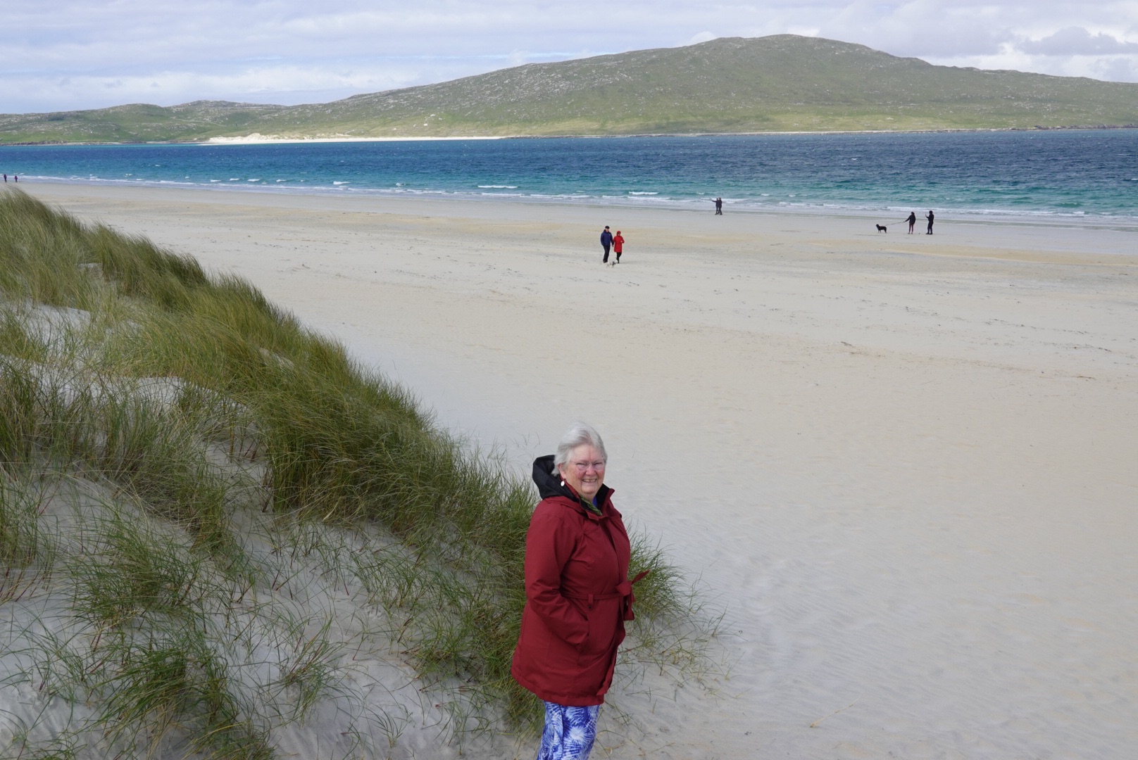
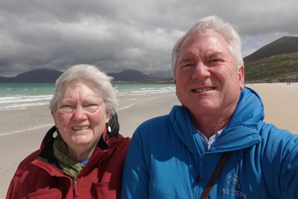
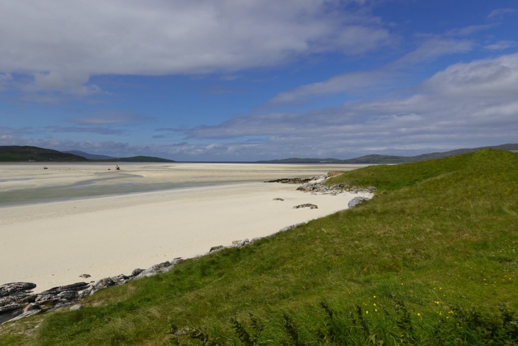
Lewisian gneiss, glaciatedLuskentyre Beach on the west side of HarrisClare cannot resist getting in the waterWind keeps the beach clearWindy selfie at Luskentyre Beach
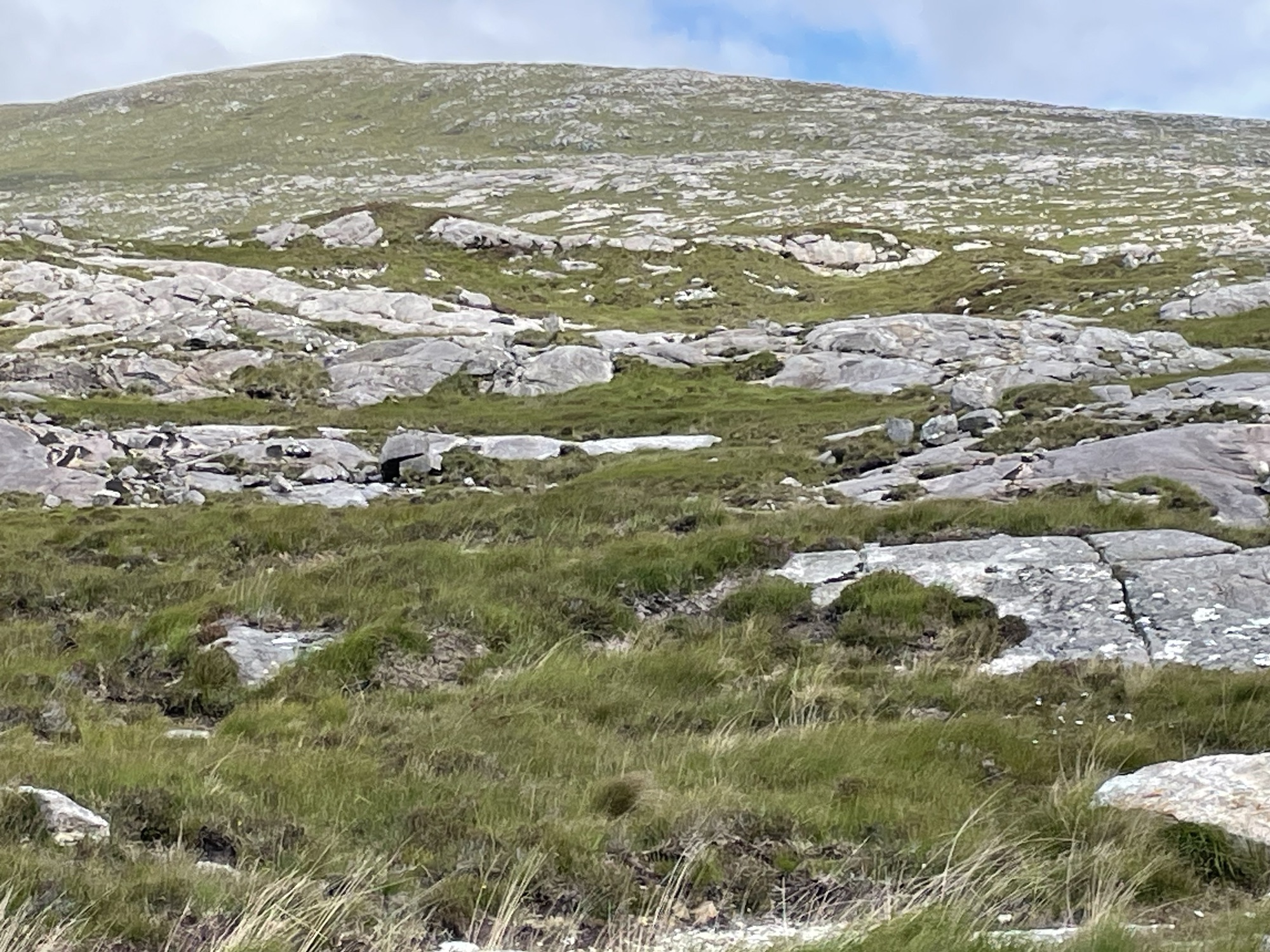
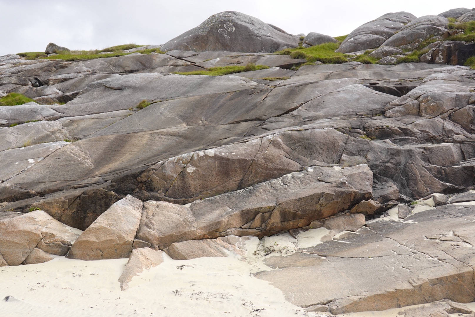
Clear outcroppings of Lewisian gneiss near the beach.
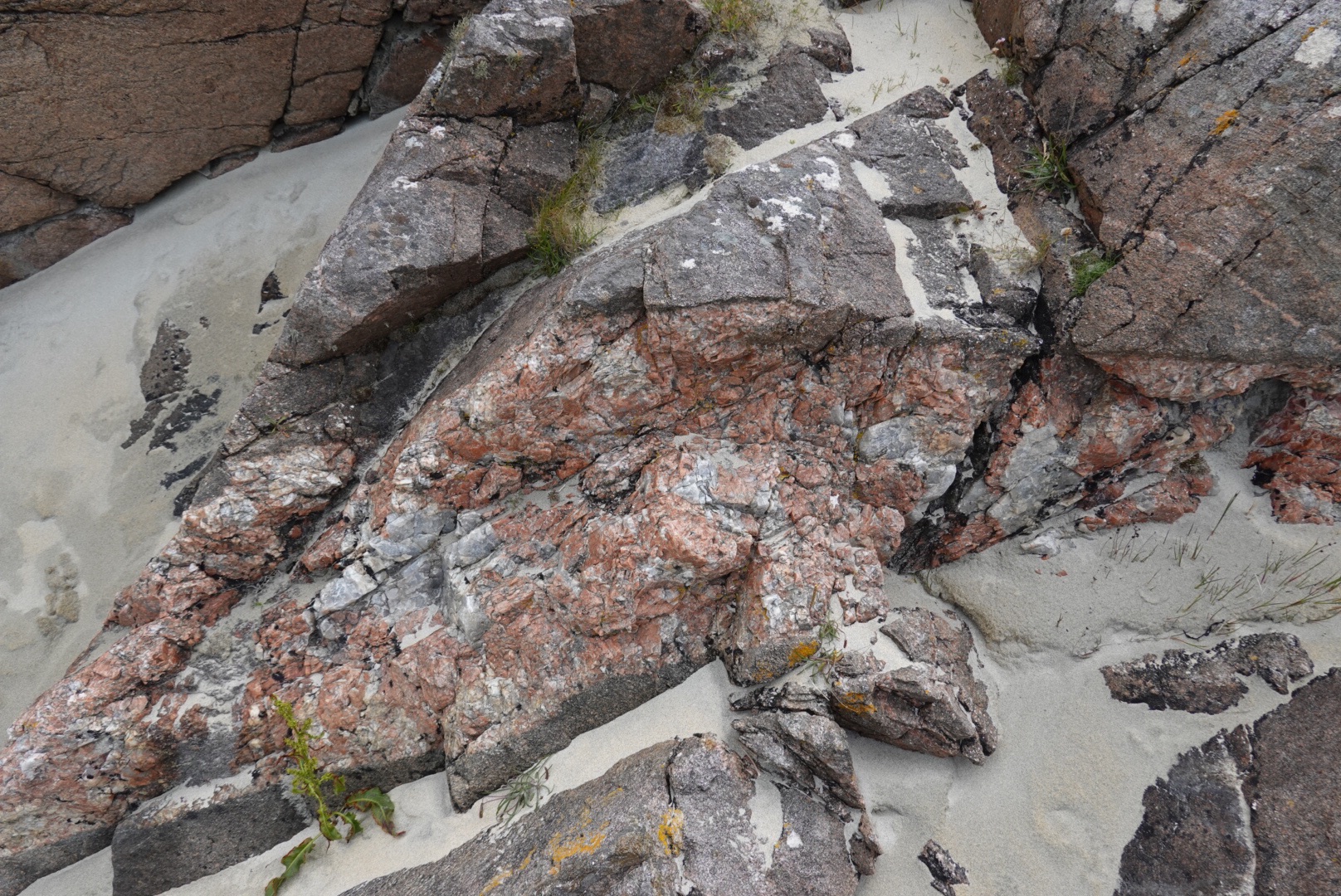
Glacially smoothed, massive outcrops of Lewisian Gneiss at the beachThis part of Harris is underlain by gneiss that is not banded, containing granite veins such as this granitic pegmatite
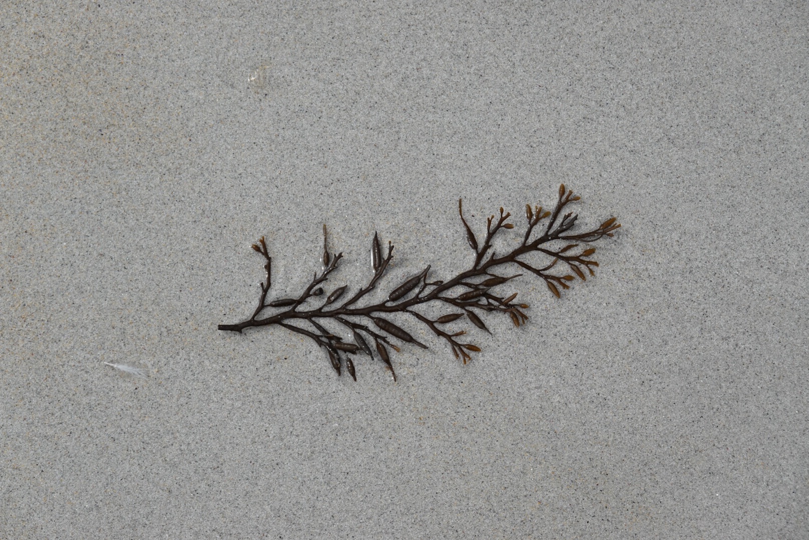
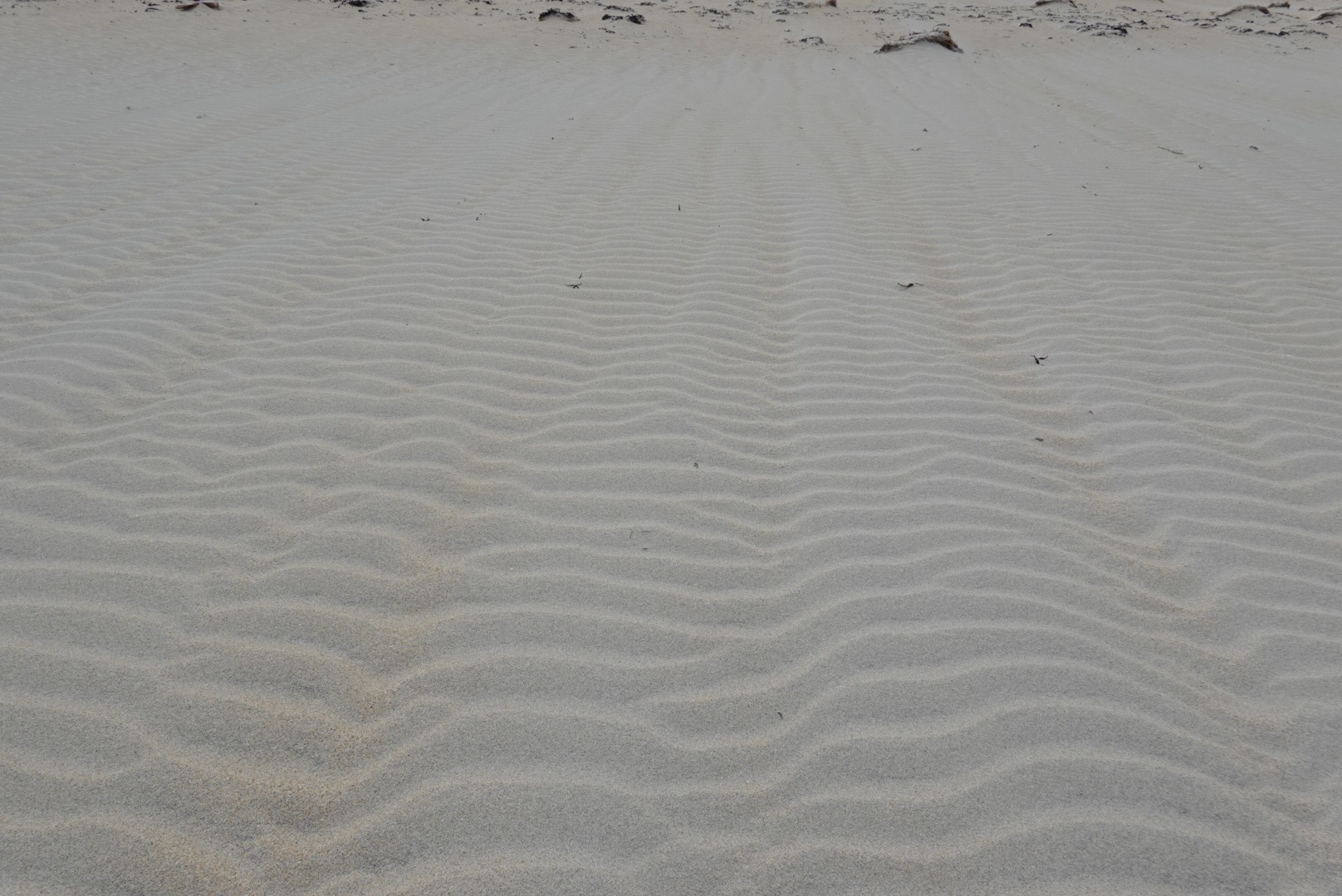
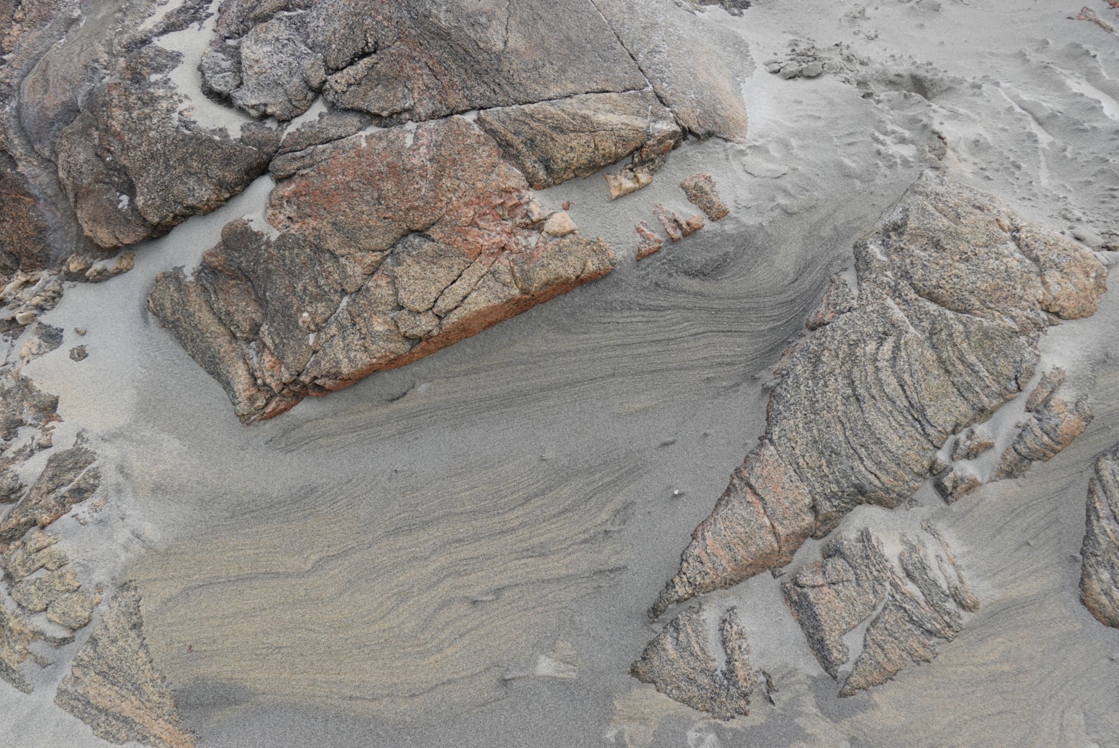
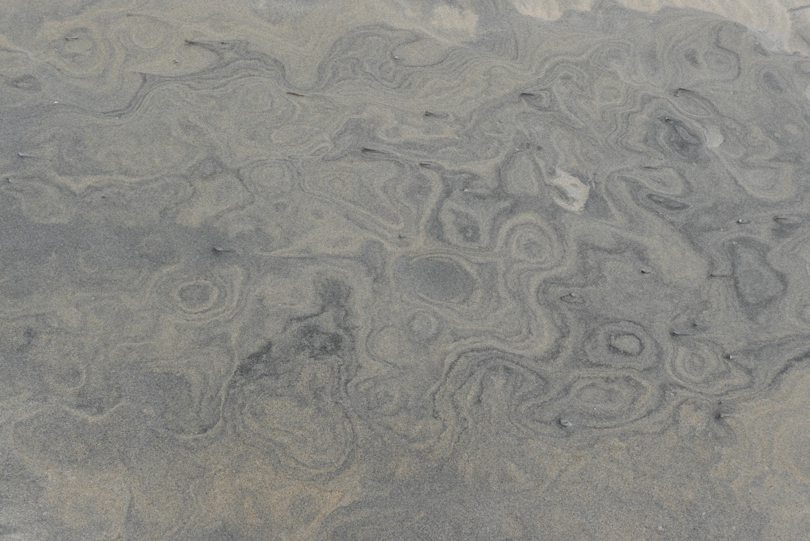
Sand patterns
Sea weedRipple marks from the constant breezeStripes in rock and in sand!Swirls of dark (probably magnetite) and light colored sand grainsSand-clogged estuary leading into the beach
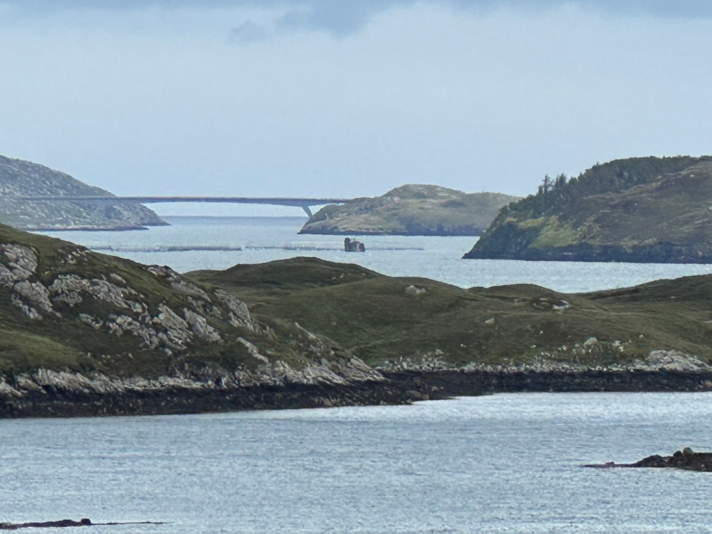
On the way back from the beach, we stopped to see this landscape. The bridge in the background is the Scalpay Bridge, linking Lewis and Scalpay islands.
Lewisian gneiss covered by a layer of vegetation, surrounded by lochs and bays.
Another big difference between Skye (part of the Inner Hebrides) and Lewis and Harris (part of the Outer Hebrides) is the visibility. The Island of Skye is called the Misty Island – for good reason. Skye is the only place I have visited where it was windy and foggy at the same time. So far in the outer Hebrides, on Harris anyway, although it’s cloudy, it’s not nearly as foggy. You can usually see a long way.
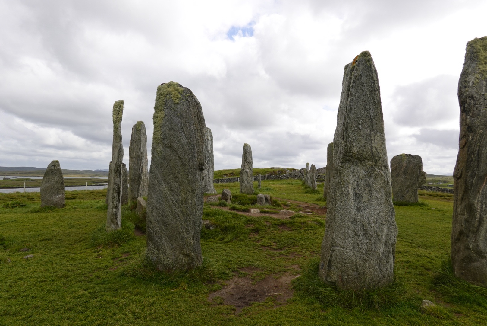
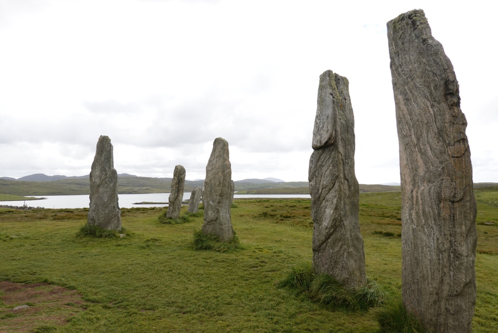
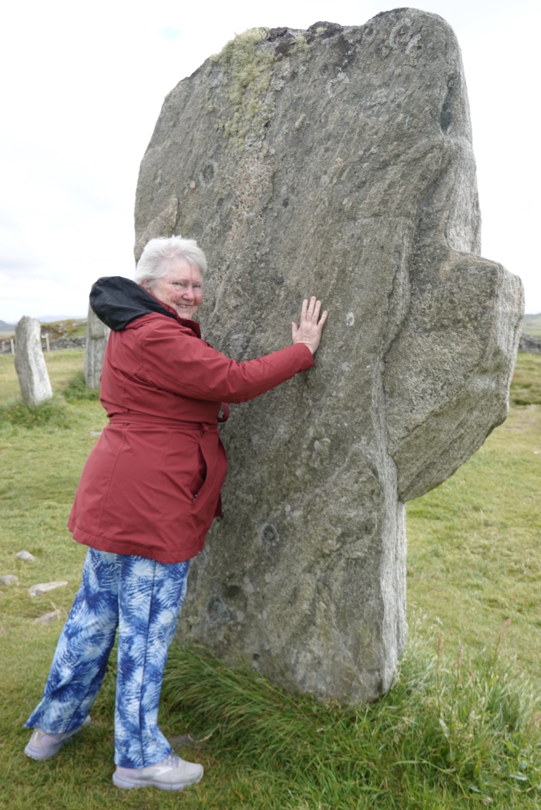
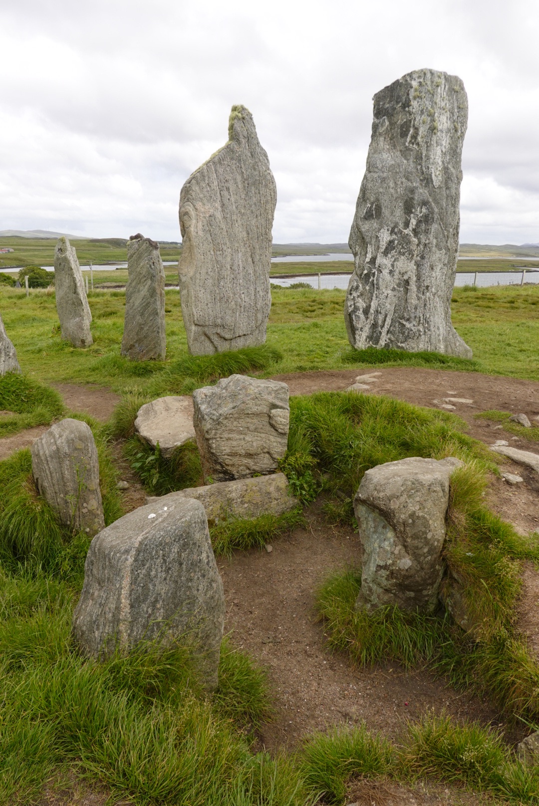
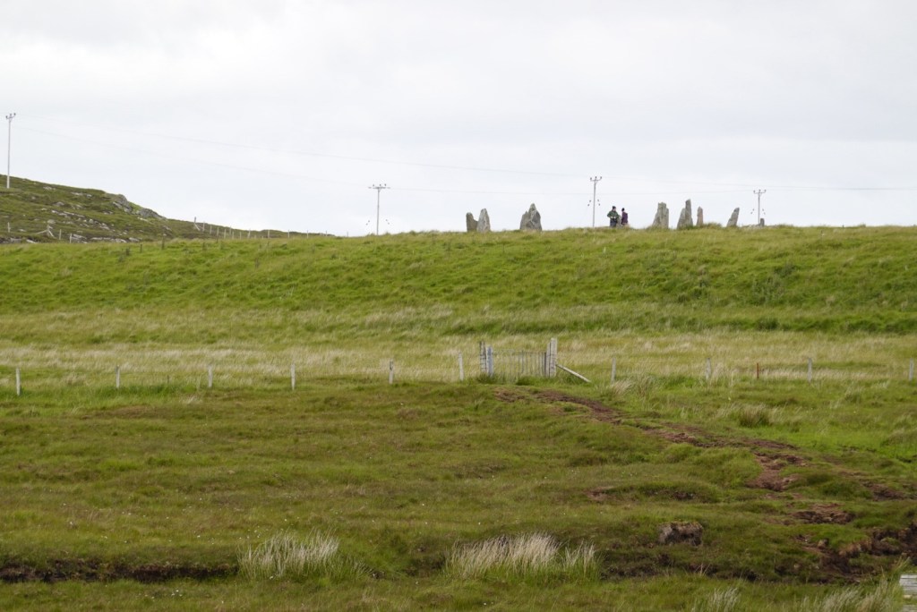
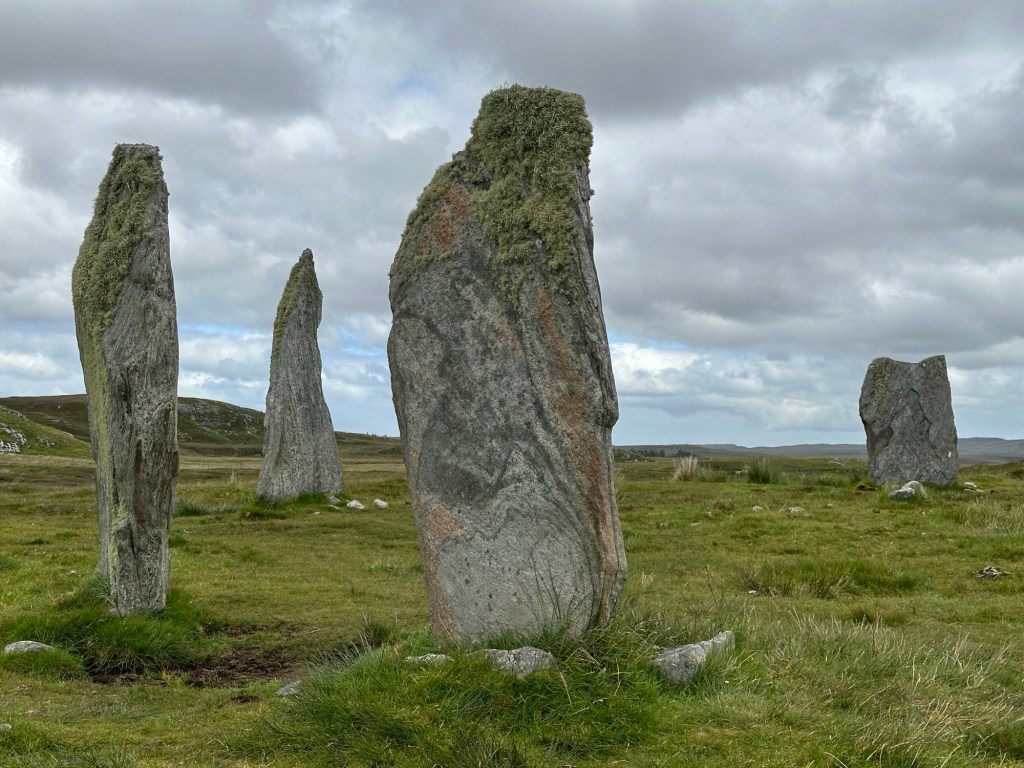
The Callanish Stones, on Lewis, are near vertical slabs of Lewisian Gneiss set up by Neolithic peoples. We visited two of the groupings.
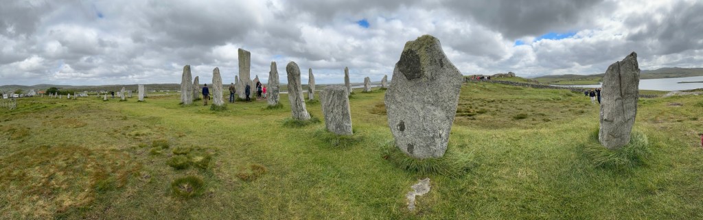
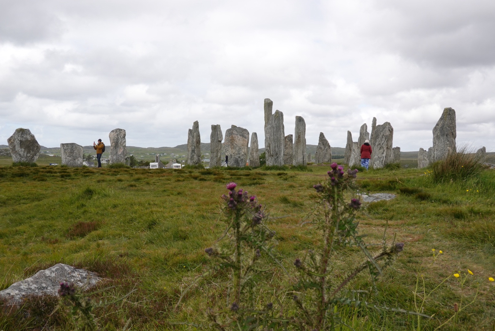
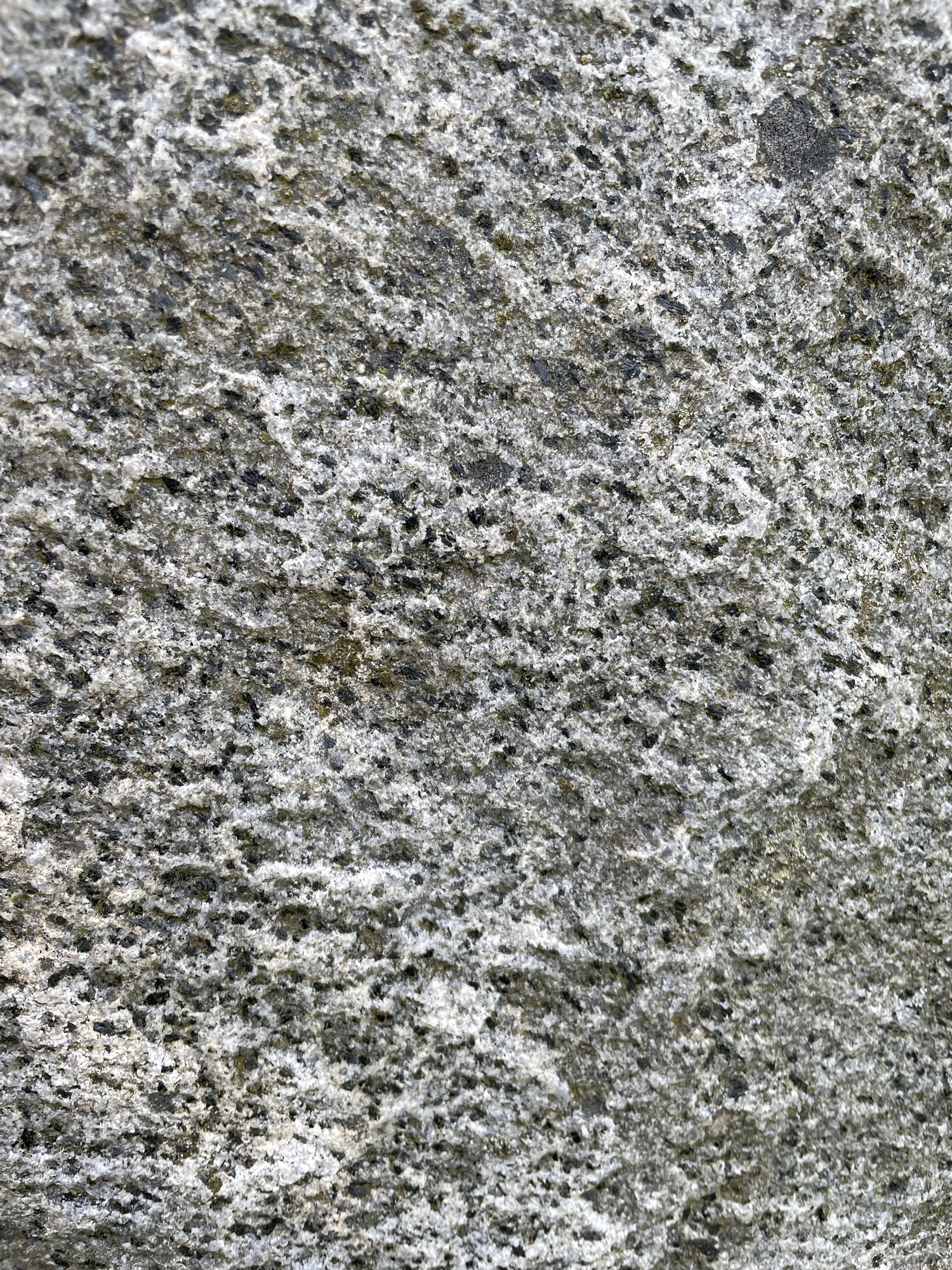
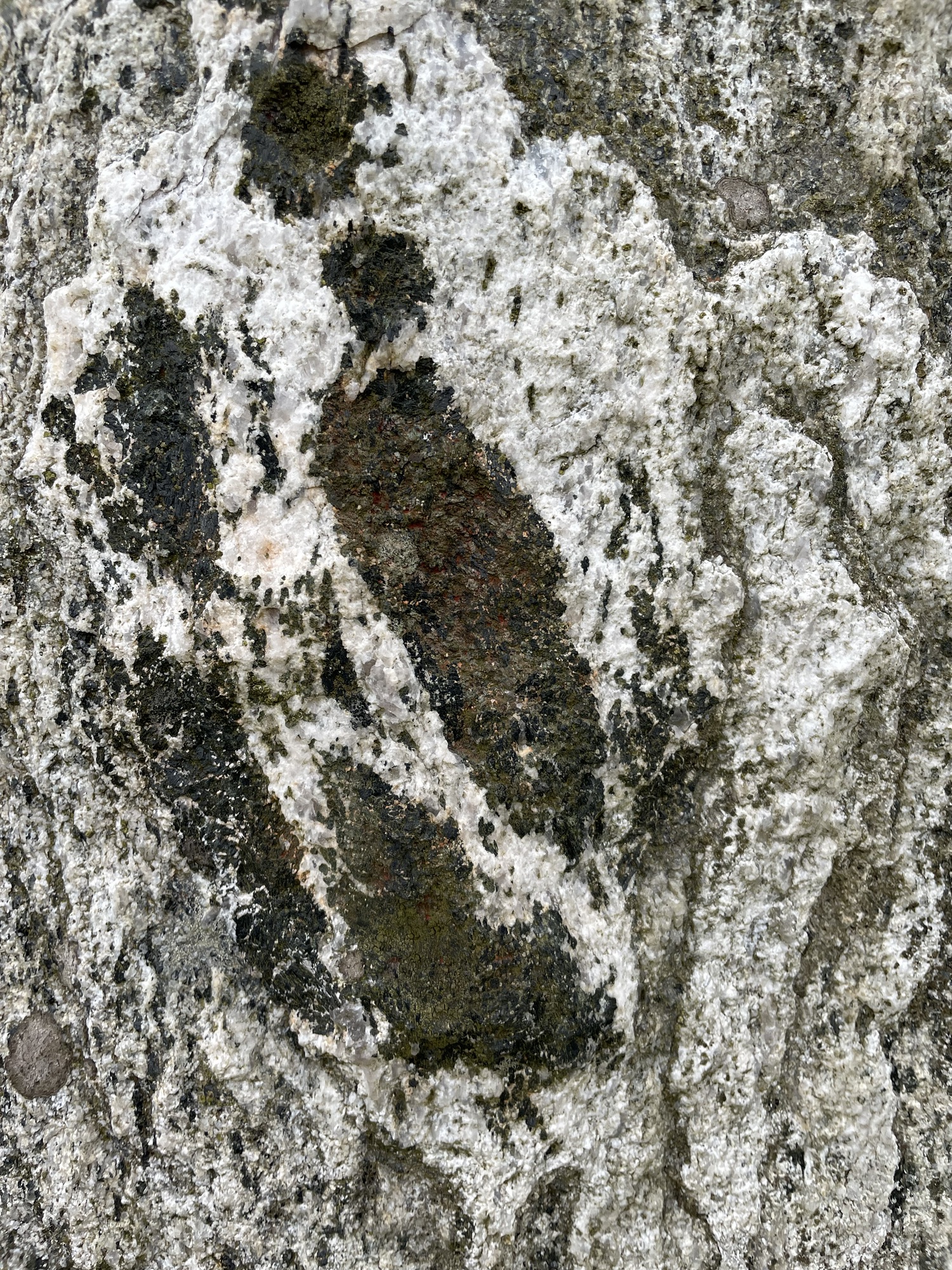
Panorama of Callanish 1, showing one stone with a far rock surface, possibly how the Neolithic peoples split the stones for the monument?Callanish Stones I. Scotch thistle in foregroundCallanish stones ICallanish stones IClare tries to follow Claire (from Outlander) through the stonesCentral pit where cremated human remains were placedTiny garnets in Lewisian gneissVery large garnets in an adjacent stoneCallanish Stones IIICallanish Stones III
Stornoway
We booked two nights in Stornoway, the largest town on Lewis. We went for a walkabout.
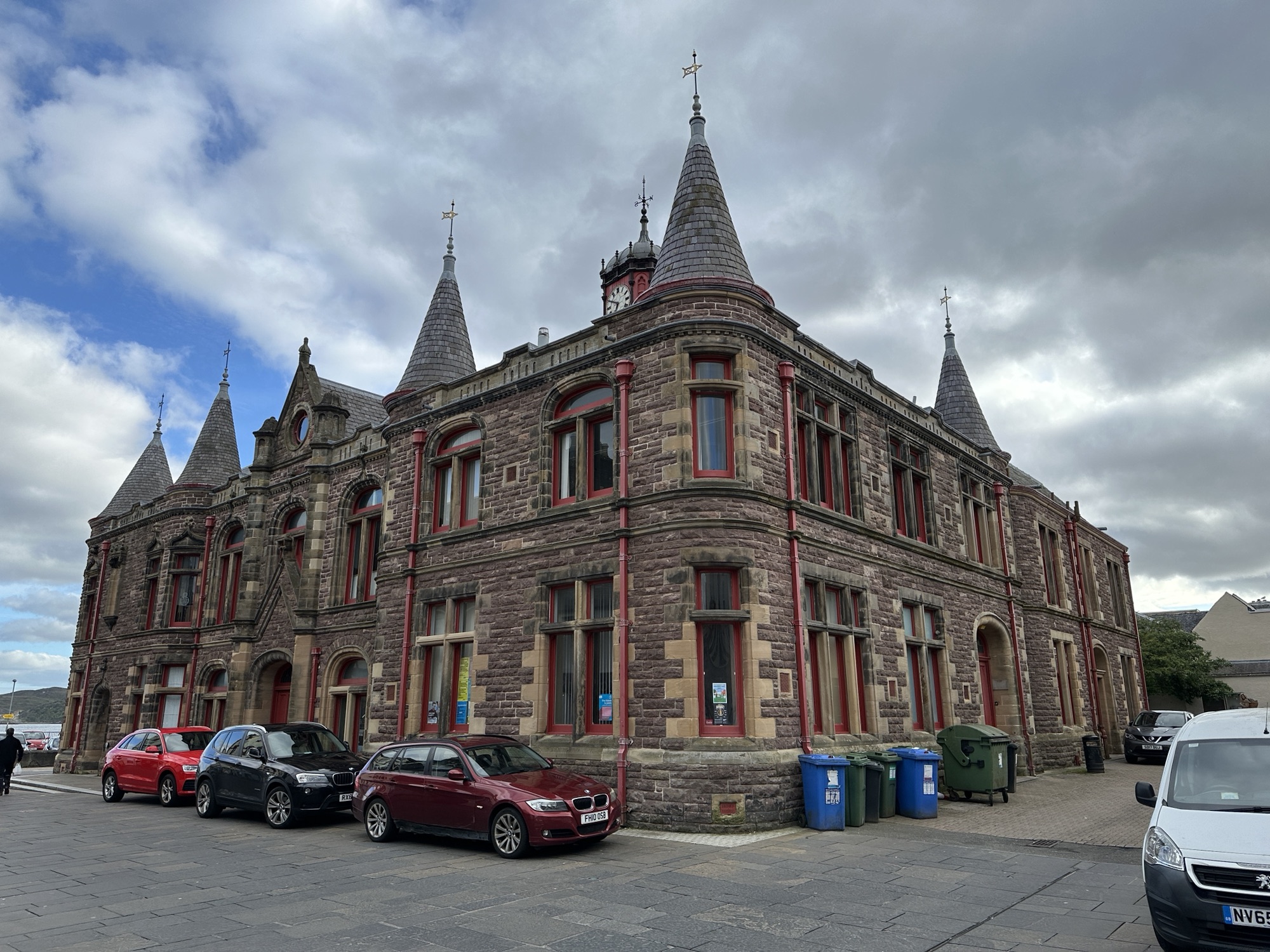
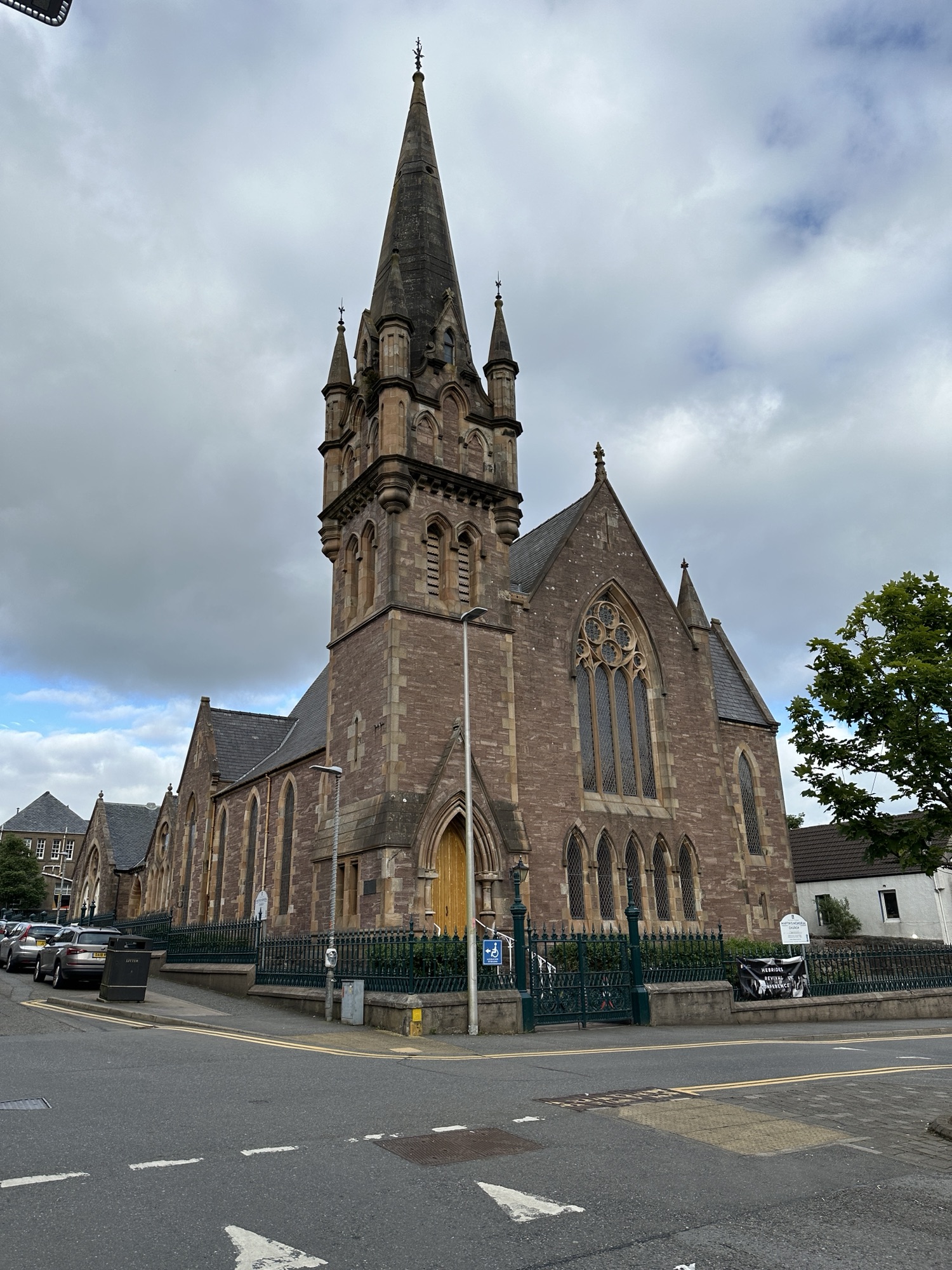
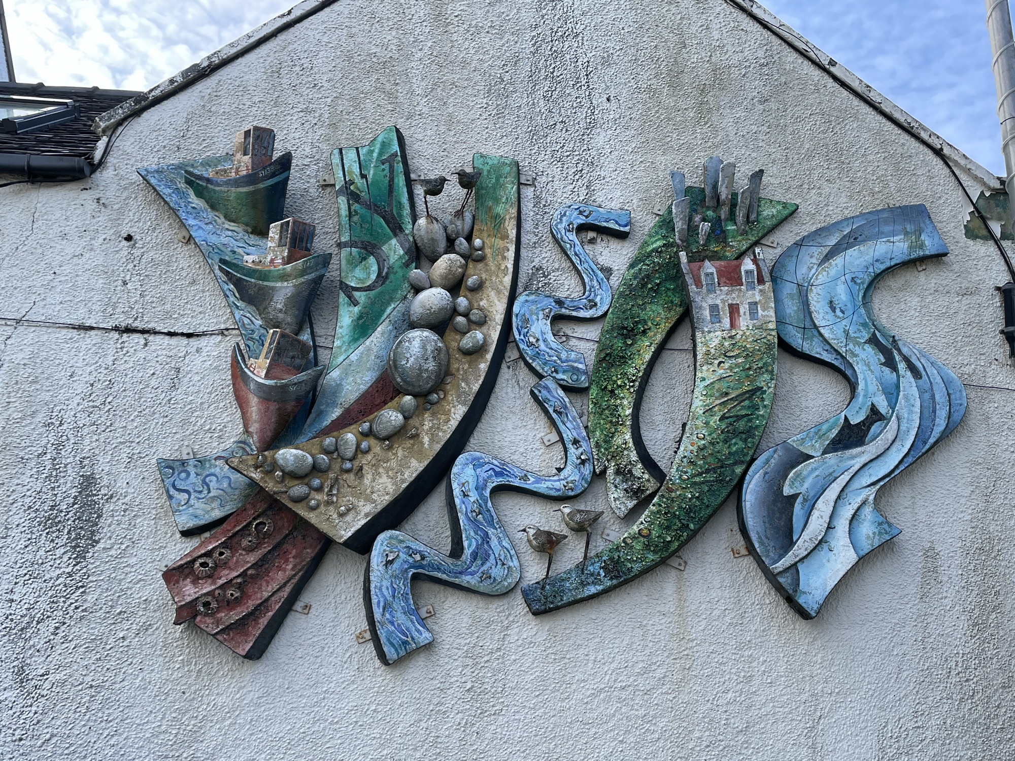
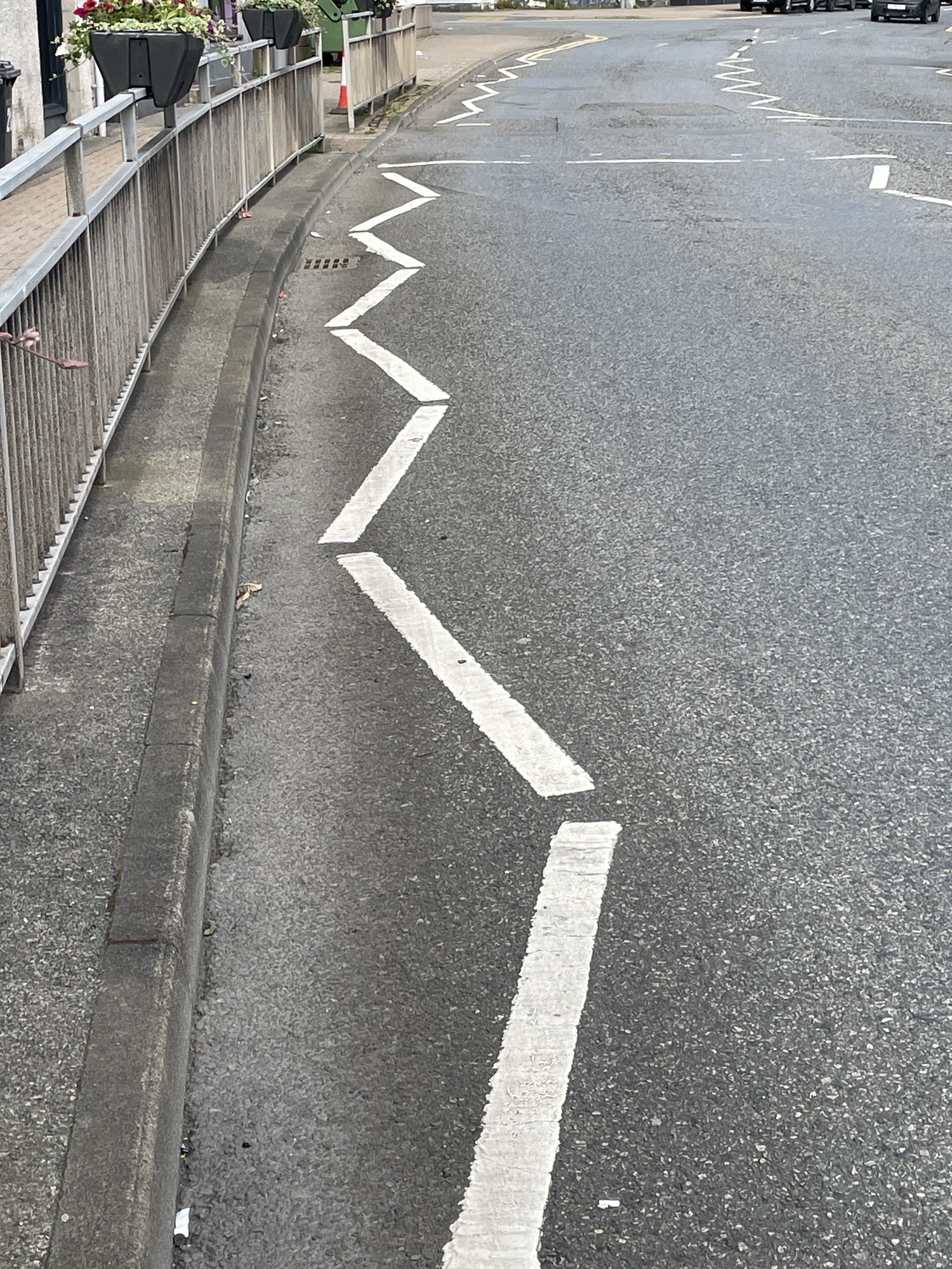
Old building made of native rock, Stornoway historical society?Old church made of same rock3-D Mural – street artThese markings on streets are common, but we weren’t certain what they signified until we saw a sign: parking on zigzags is dangerous and selfish.