On a wet, breezy morning, we were picked up by the guide for the day, Halldor. He took us everywhere we wanted to go! The main objective was a hike to see the recent volcanic flows. The way Halldor explained the seven eruptions made me visualize a string of three beads, widely spaced, with most of the lava flowing from the beads, but a little from the strings. These new flows are evidence of a new, unique series of events, as we saw at the Geopark exhibit previously. The compositions are different from older flows in the area.
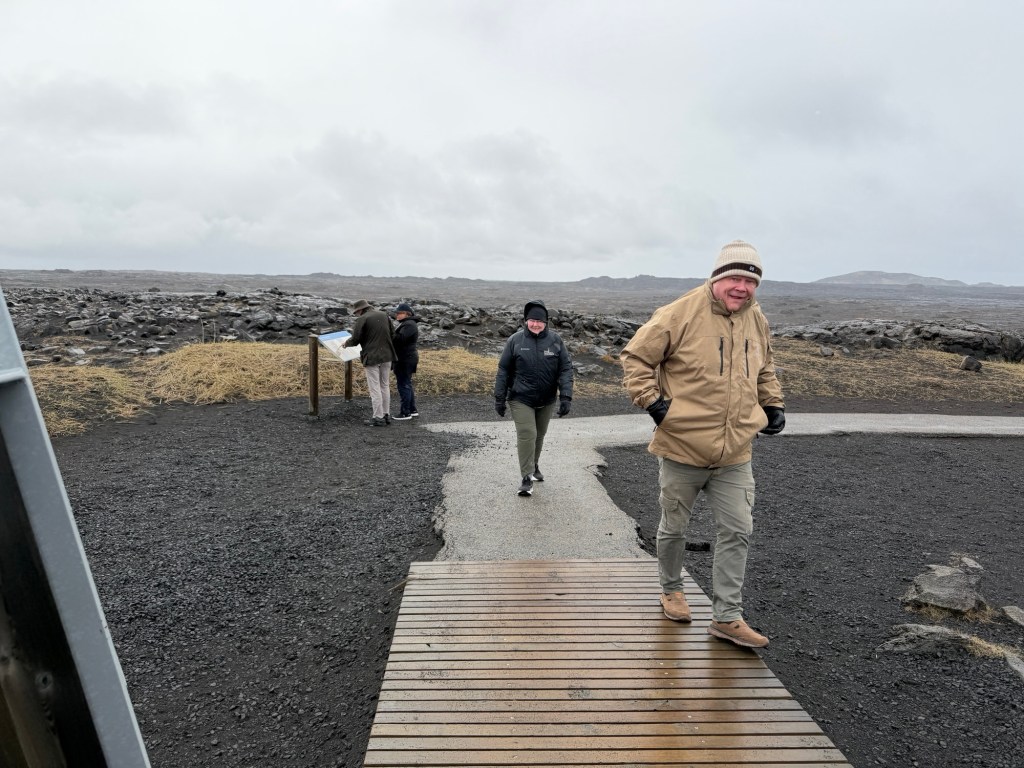
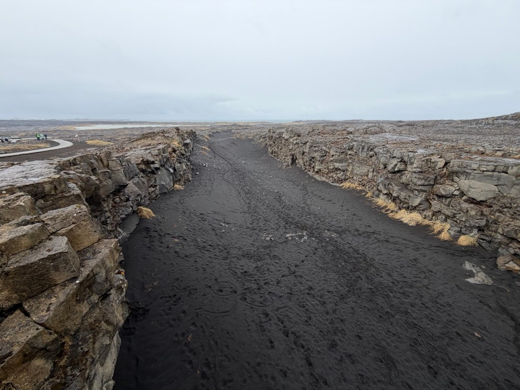
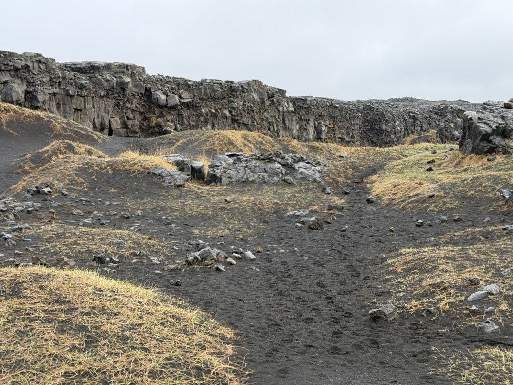
To the Bridge Between the ContinentsLooking down the rift valley, NA plate on the rightView of NA plate from European Plate
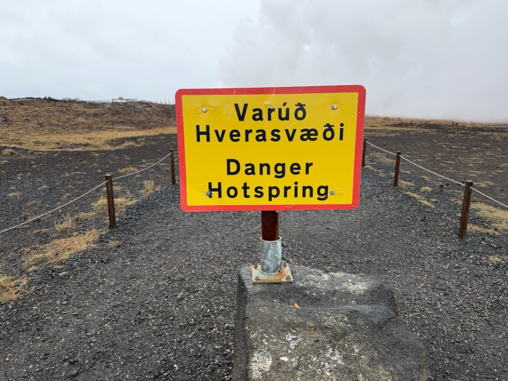
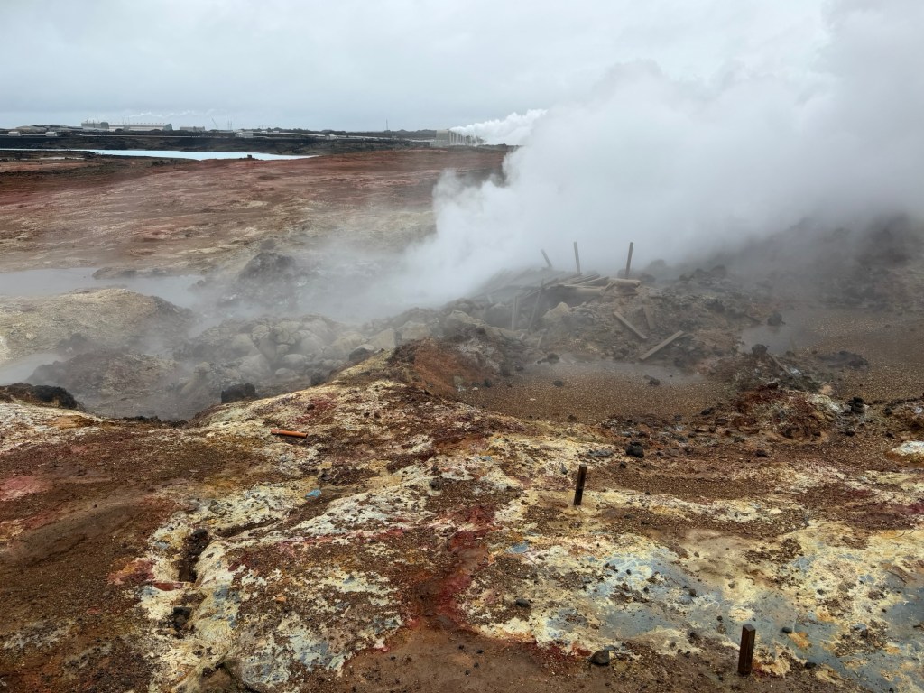
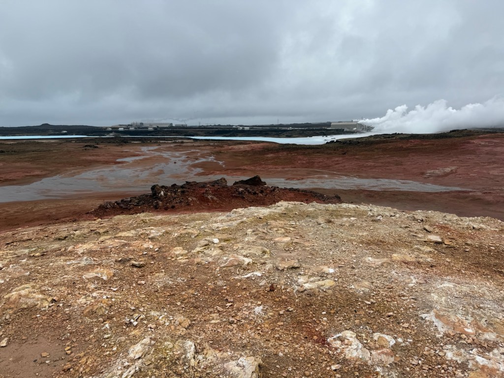
A little way further along the road were thermal features, a hot spring and fumarole.
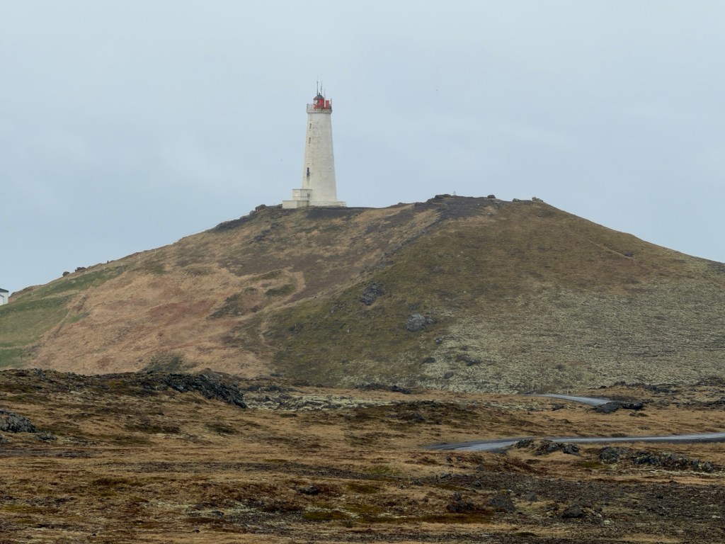
Icelandic language is difficult!Lots of alteration of the host rock by the hot waterColors show minerals deposited by the hot waterReykjanes lighthouse is the oldest in Iceland. Originally built in the late 19th century, it was destroyed by an earthquake. The current lighthouse was built in 1908.
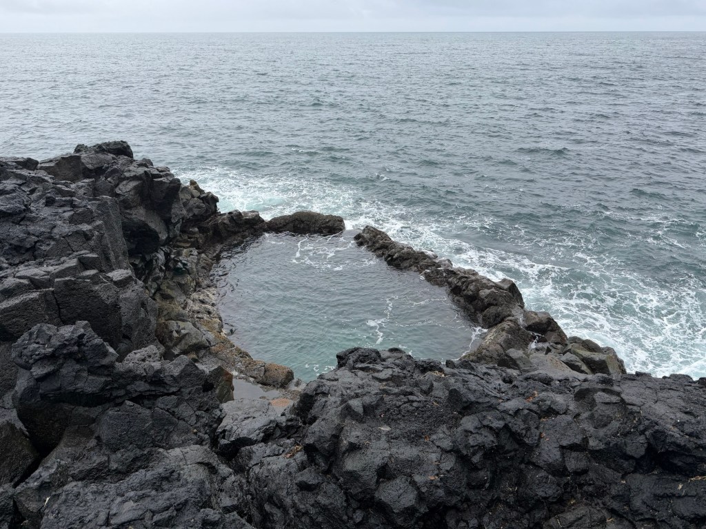
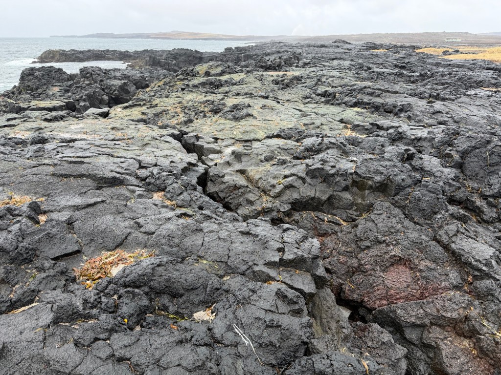
We were driving along the south shore along lava flows 2.5 – 5 million years old.
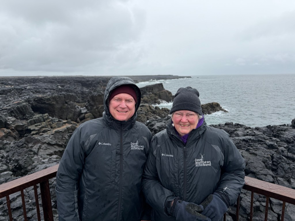
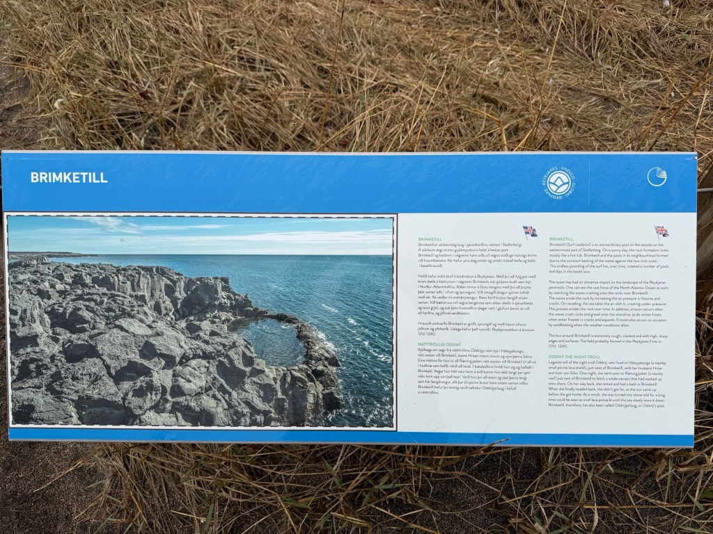
Oddny’s Pool, named after a troll reputed to have lived nearbySurface of lava flows covered by seaweedUsLegend of the pool and the troll
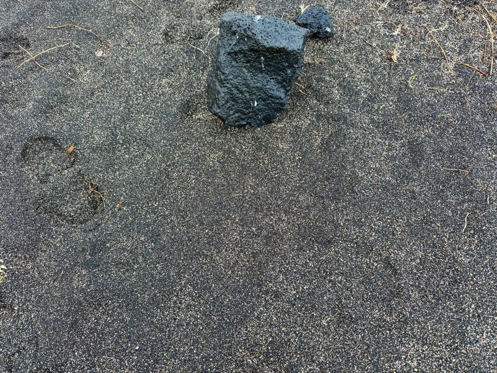
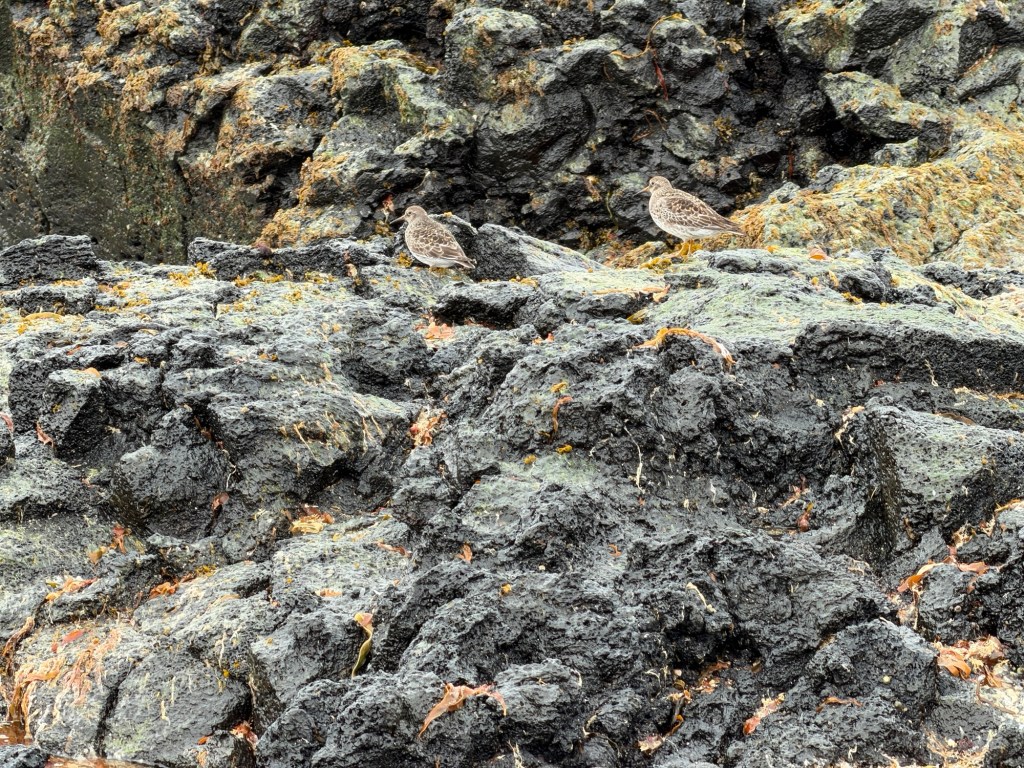
Another stop along the road showed us intricately mixed black and white coarse sand. Halldor said the white pieces were sea shells.
Block of basalt adjacent to the coarse sandSandpipers scurrying on the rocks
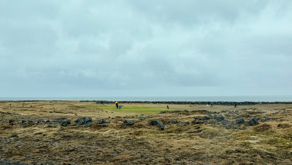
Even in the rain, golfers must play!
Relatively flat grassy lava surface with natural hazards for golfers
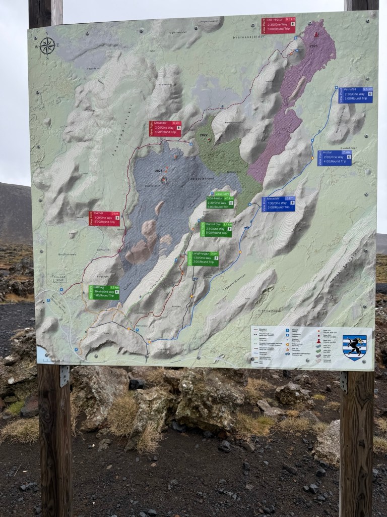
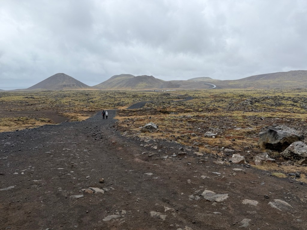
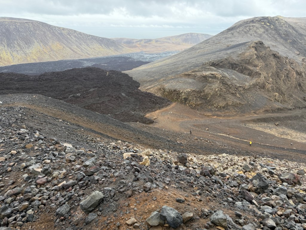
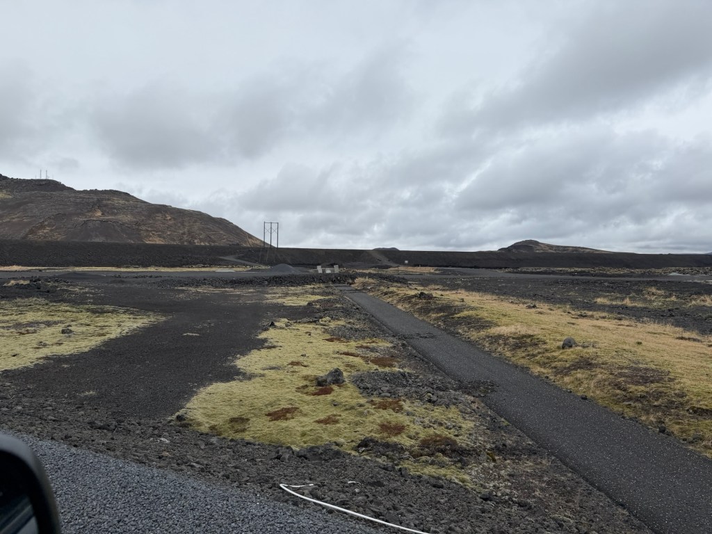
At the start of our hike, we examined the map. We went up the west side of the recent lava flow toward the source of the lava.
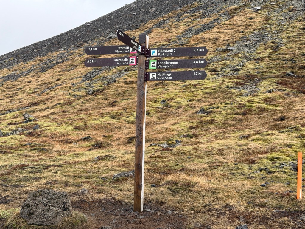
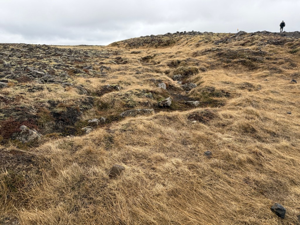
Nice trail signs and we went toward Meradalir.Looking back towards the road. The hiking trail is wide, for emergency vehicles.
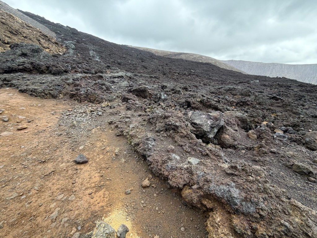
The hike was in places easy, steep, cobbled and slippery. Quite the adventure for us old folks. We walked adjacent to the lava flow.
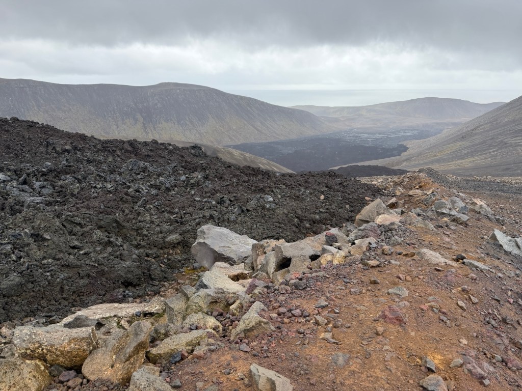
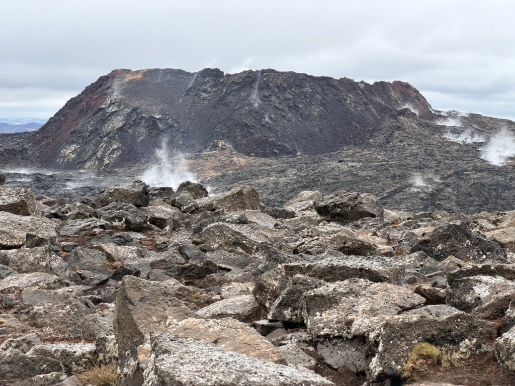
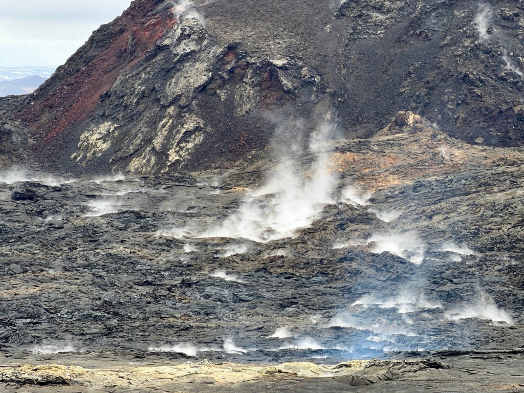
First views of the new eruptive flows.
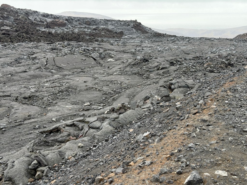
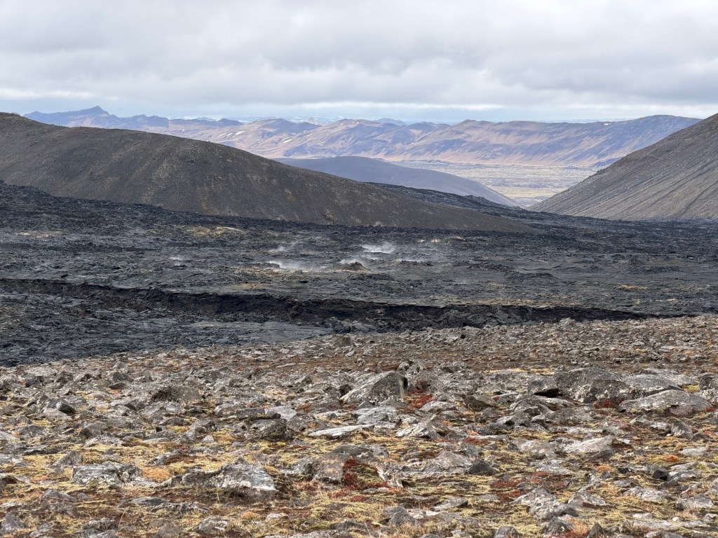
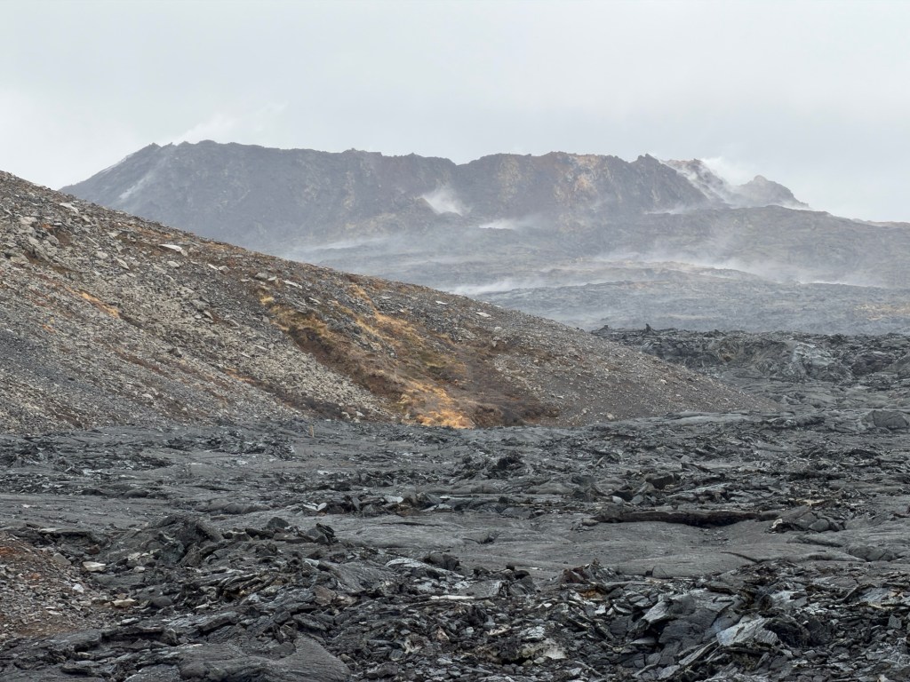
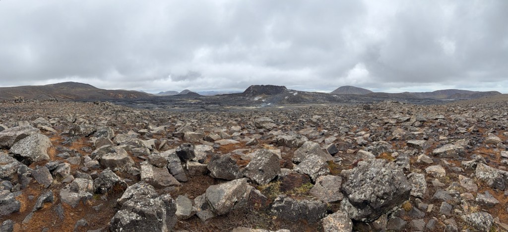
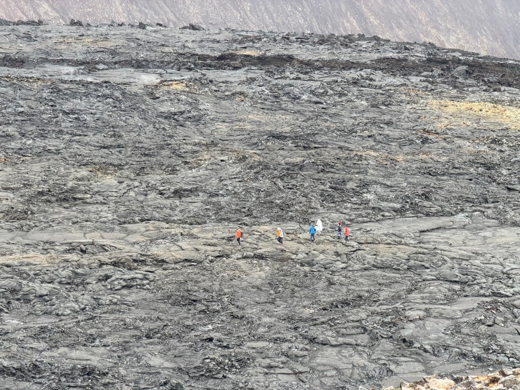
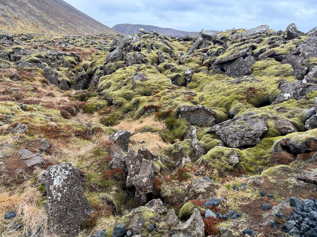
Up a bit higher, we could see into the valley covered in recent lavas.
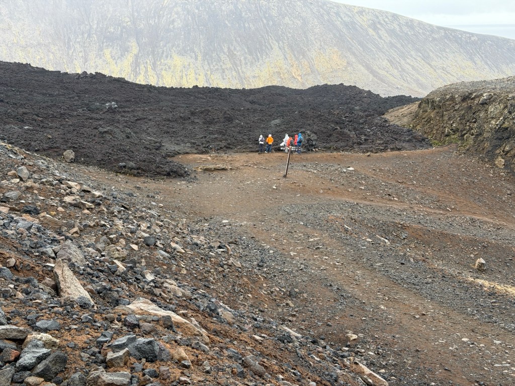
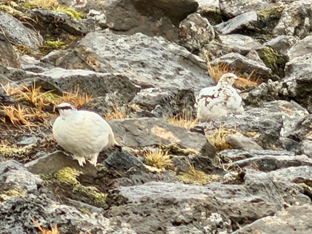
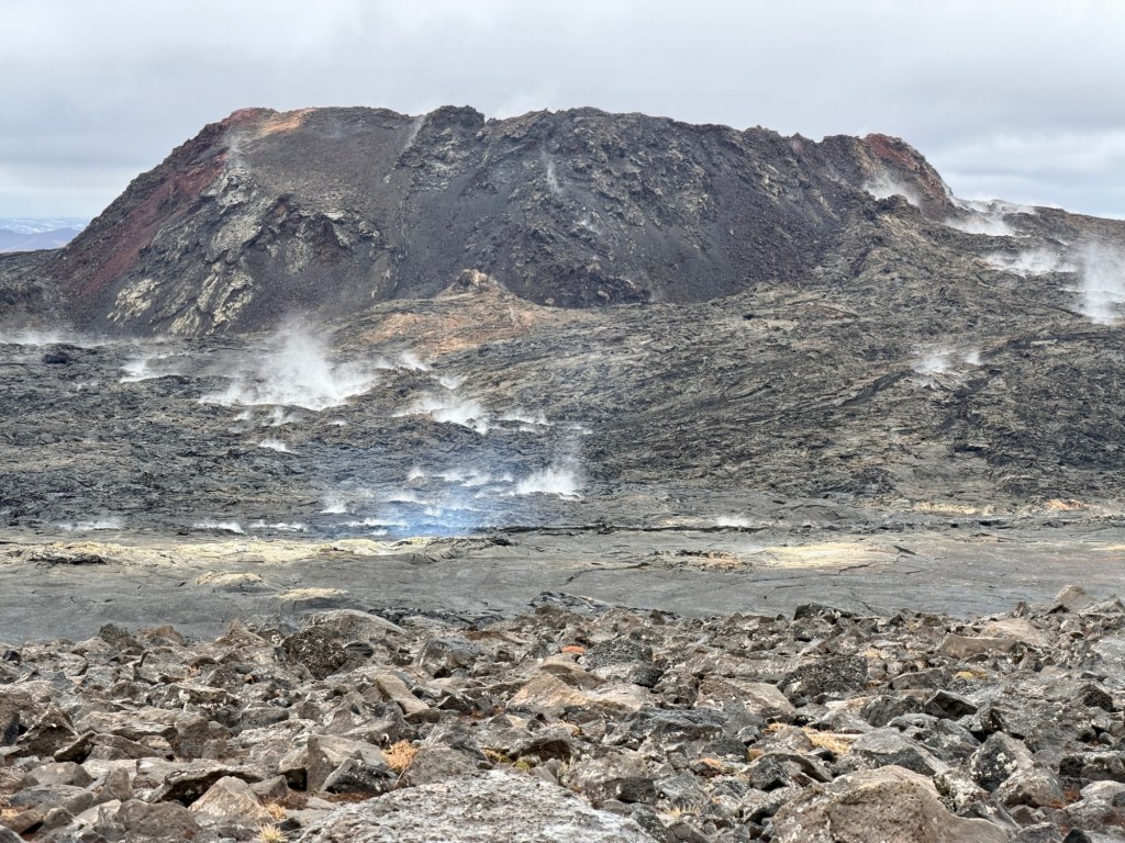
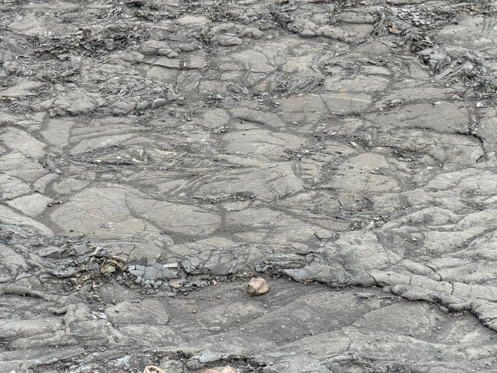
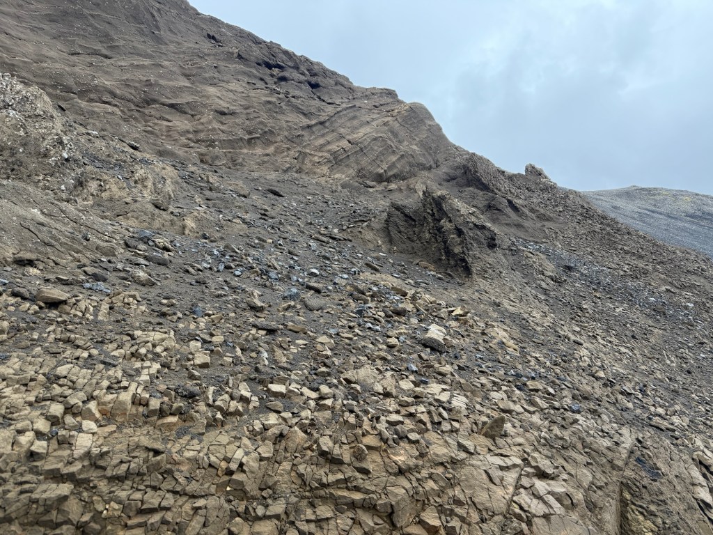
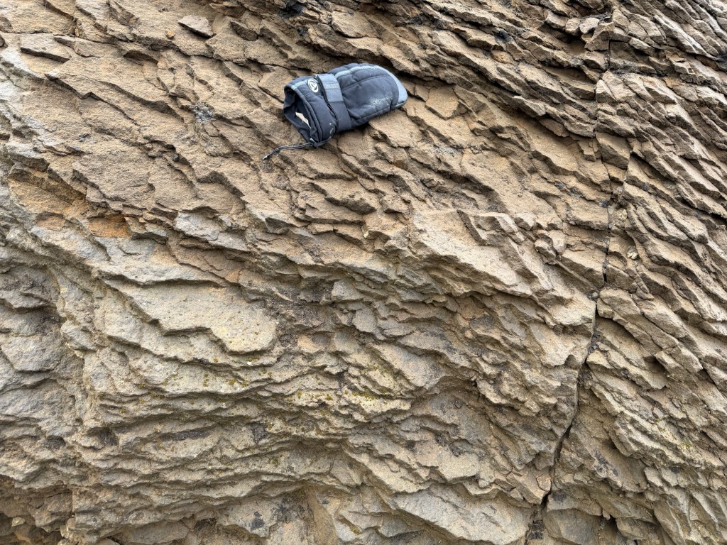
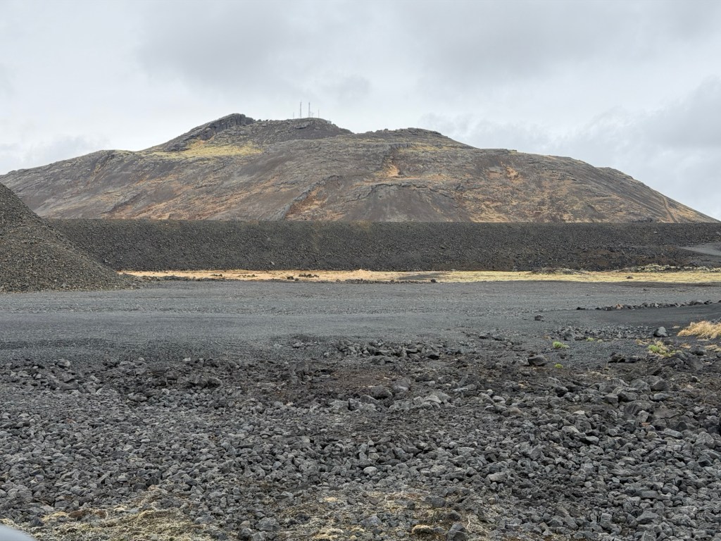
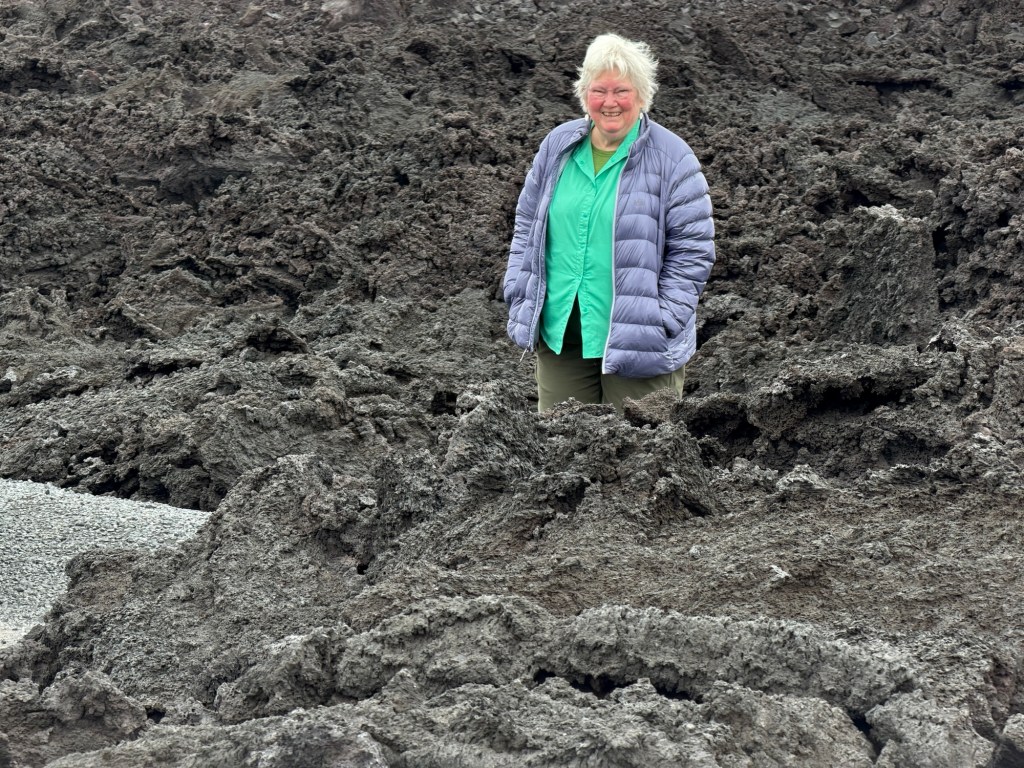
Some of the lava is still steaming, surprisingly hot two years later.Rock Ptarmigan couple protecting their nest. Panorama showing the flat-topped vent area for the recent flows.Some of the visible gases are steam. The bluish haze is venting gases or smoke from buried vegetation.Humans for scale. Pattern on top of the flowWe were told that the plant material is not grass, but a moss-like plant. Older volcaniclastic sediments on the side of the hill near the beginning of the hike. Glove for scale.
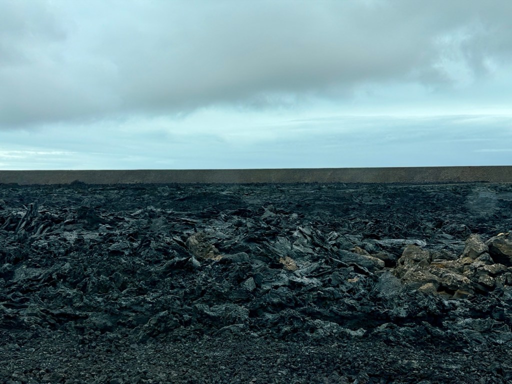
Icelanders are astonishingly talented engineers, by necessity. They piled up crushed volcanic rock in high berms to protect cities and roads where possible. These berms protected the town of Grindavik.
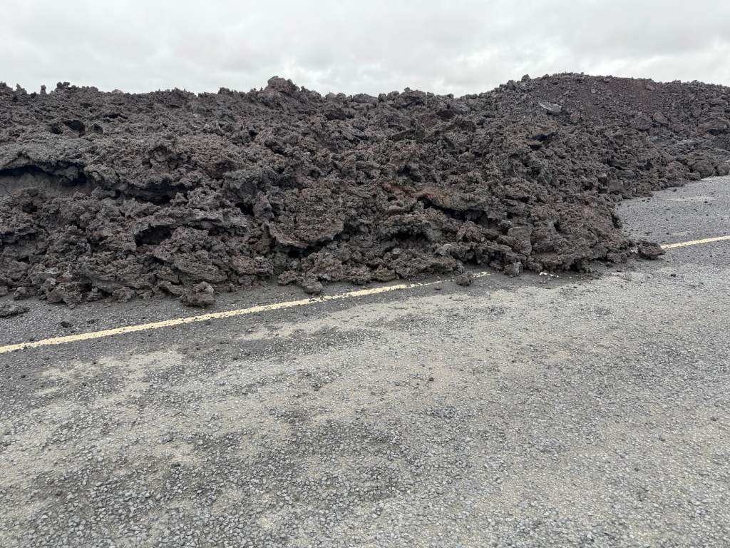
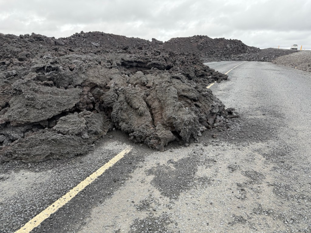
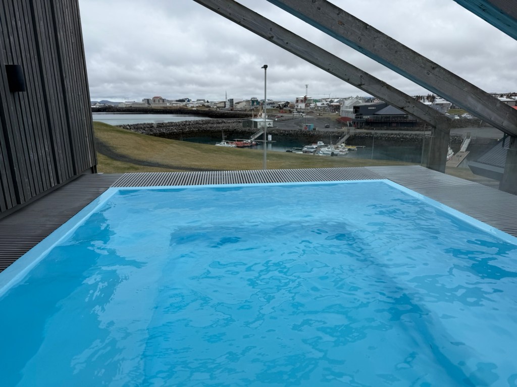
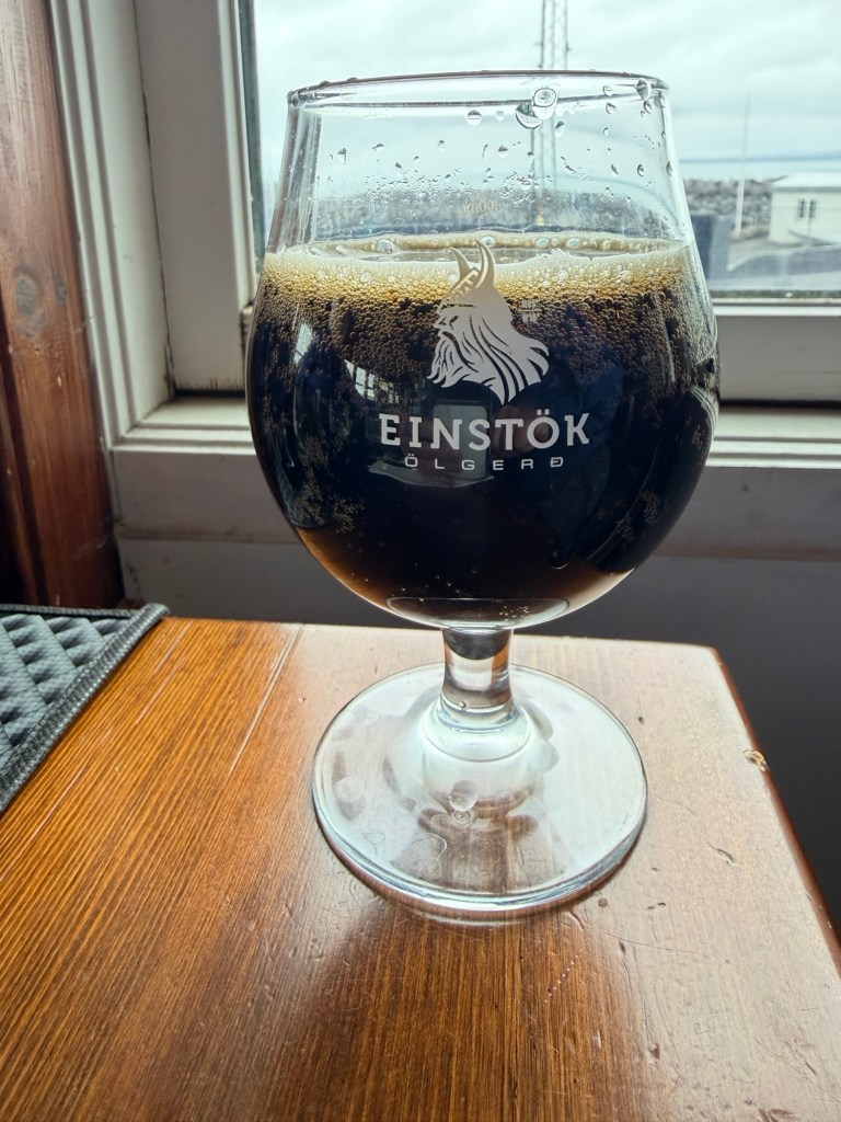
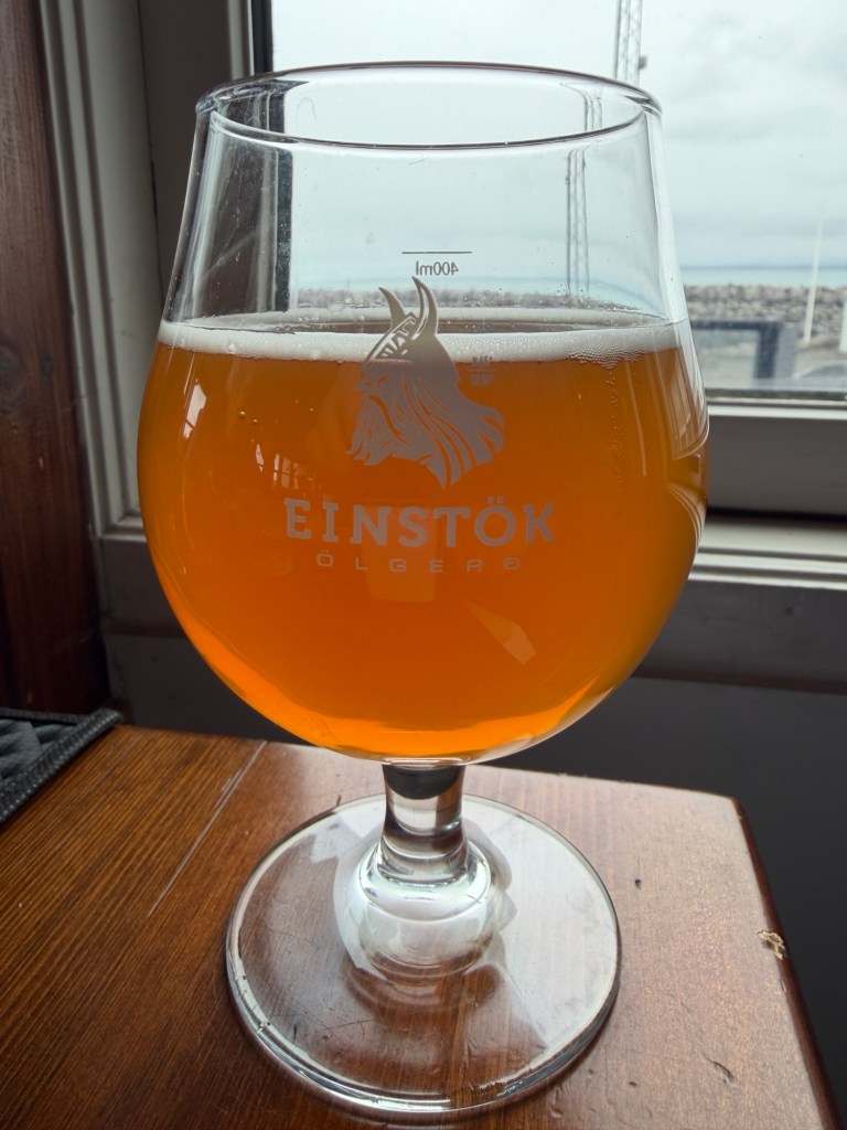
Left two photos are front of the berm near Grindavik, right, recent lava piled up behind. The town was saved!Old road broken and covered by recent flows, near the Blue Lagoon. Back at the hotel for a hot tub and Viking Dark and Viking Light.