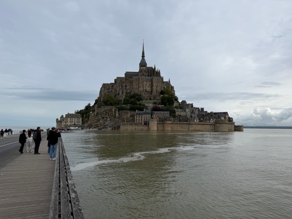
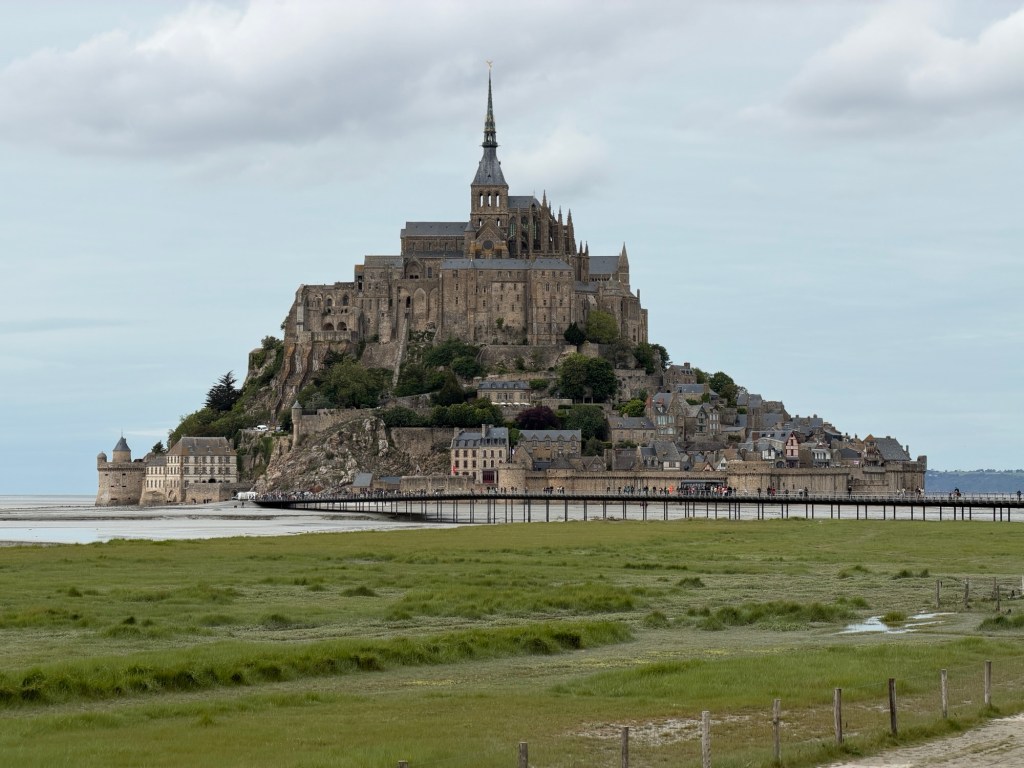
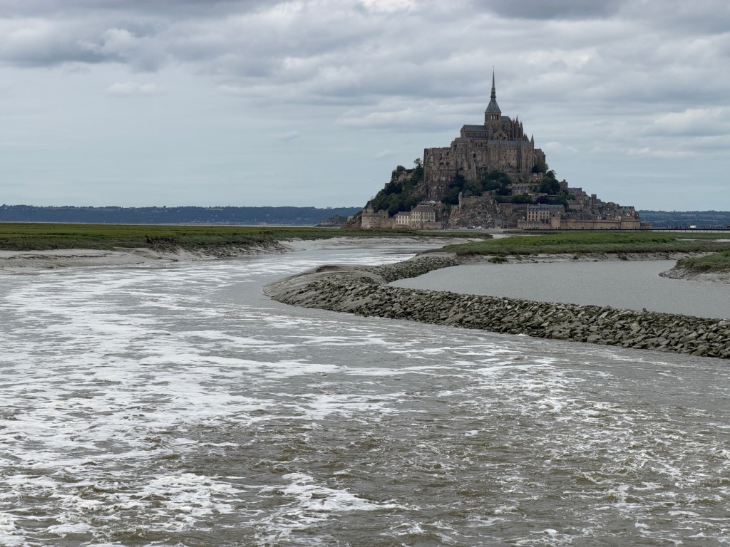
Since an undergraduate class, the first time Clare saw the fortress on an island that turned into a castle surrounded by sand, she wanted to visit it. Growing up in Southern California, she thought she understood tides. Here, however, the difference between high and low tides can be up to 50 feet, and the intertidal area is extremely flat, even flatter than other beaches we have recently explored.
Luckily, low tide was at 9:00 AM. We left our AirBnB early to have breakfast on the island.
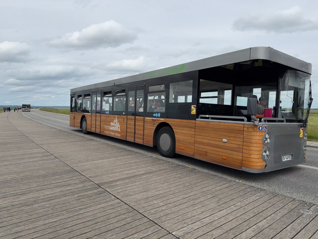
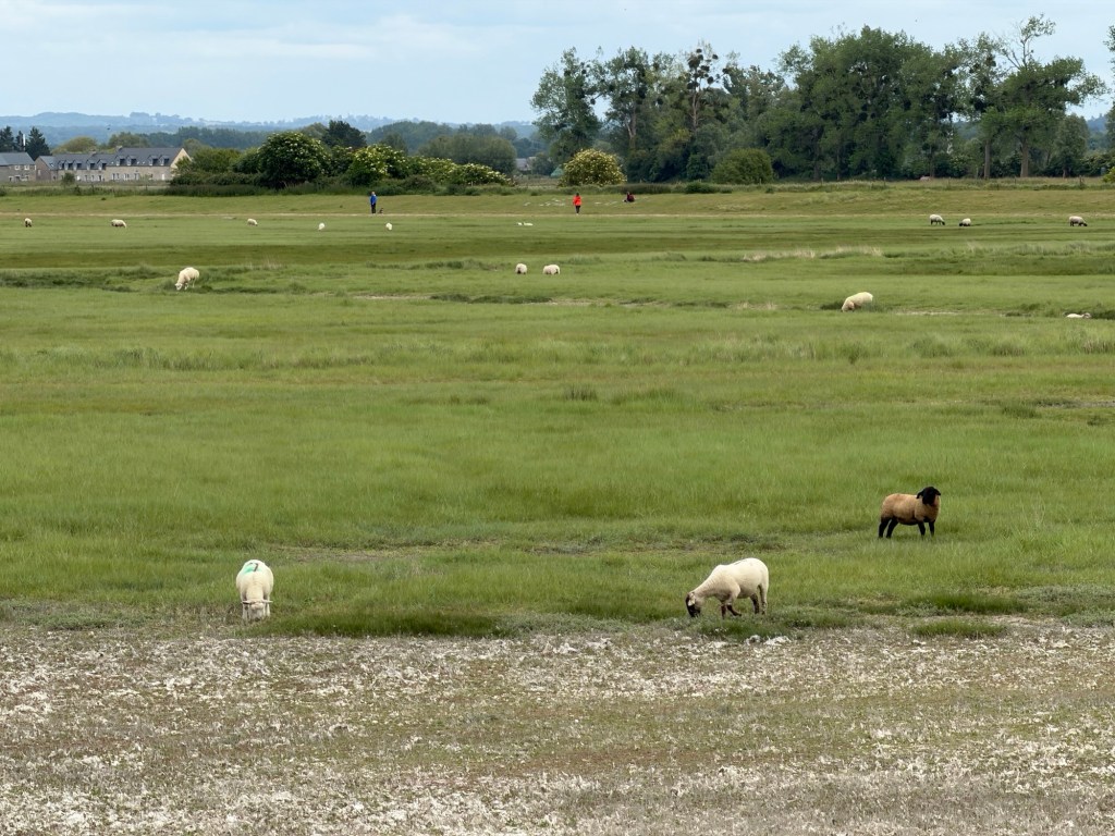
First view of Mont-St-Michel from the roadTram from parking lot to Mt-St-MichelLots of sheep grazing on salty grassWalking towards the island on the bridge
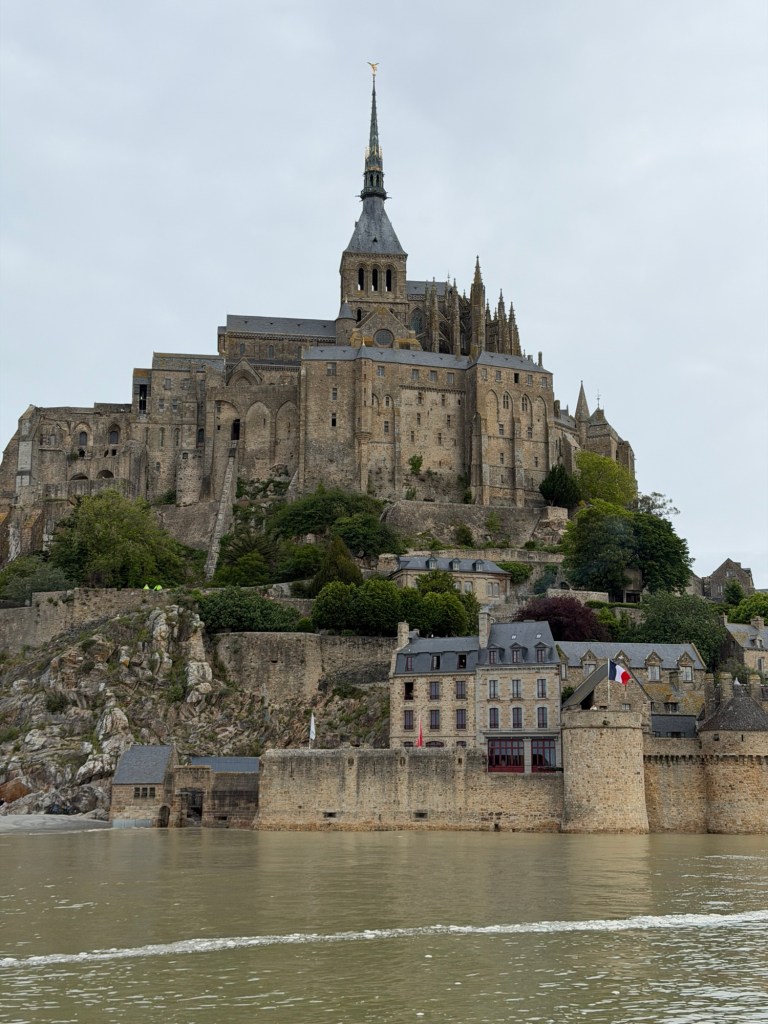
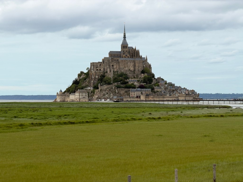
Looking around at high tide, it’s difficult to imagine this solid rock island becoming part of the continent. As the day progressed and the tide went out, it did.
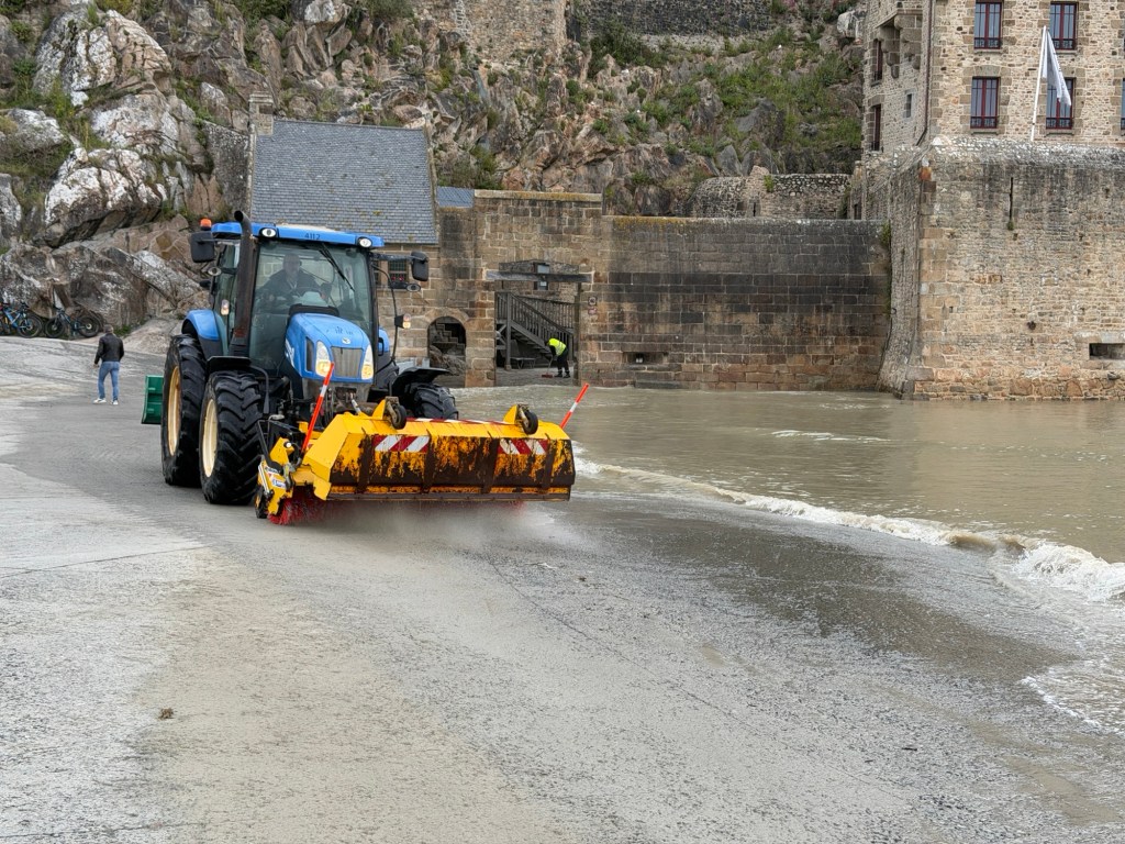
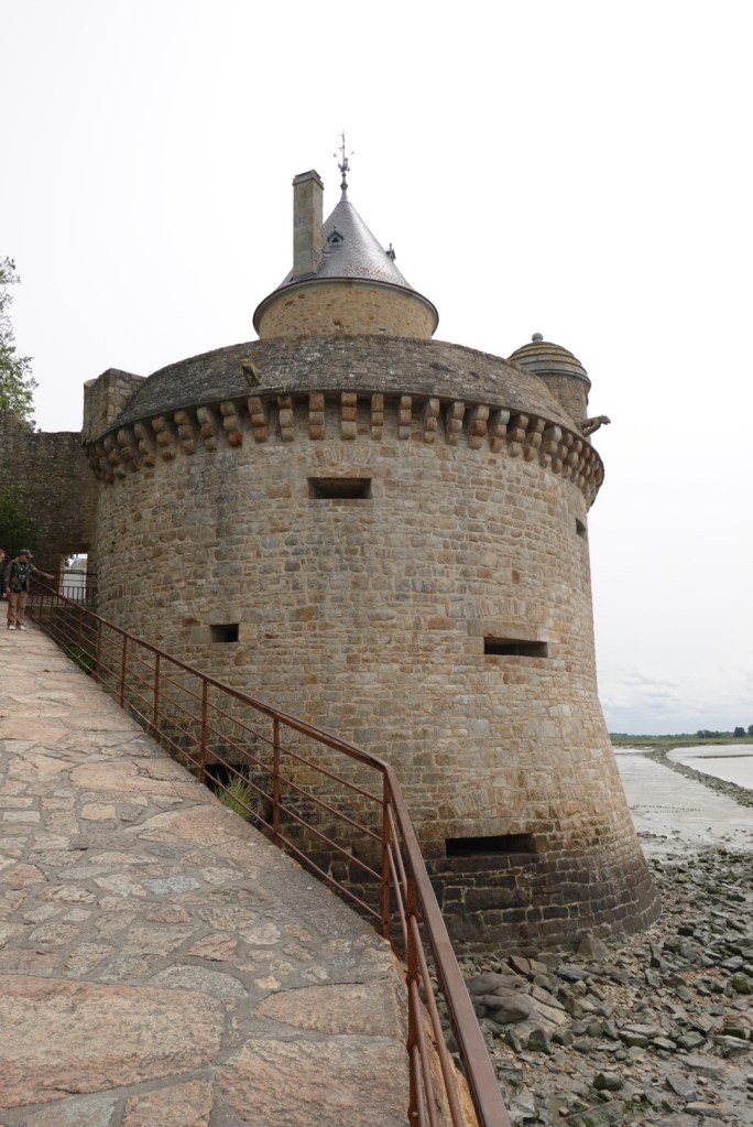
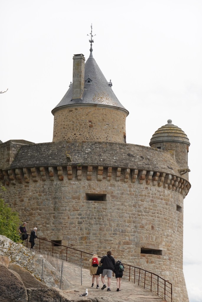
Cleaning sand off walkwayOne of the towers — note water around base
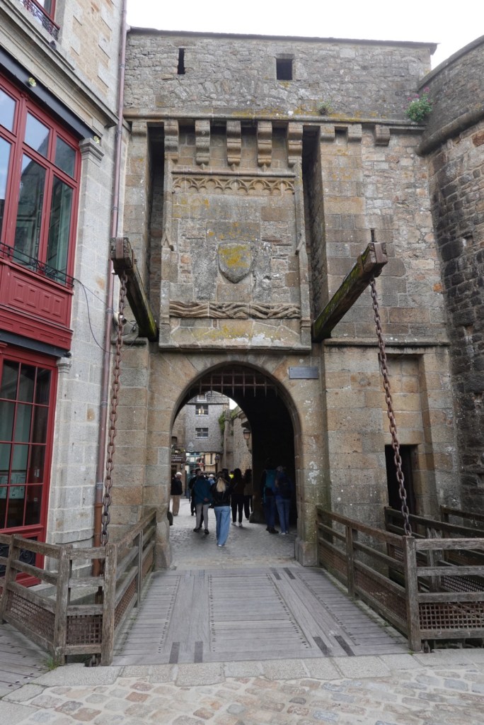
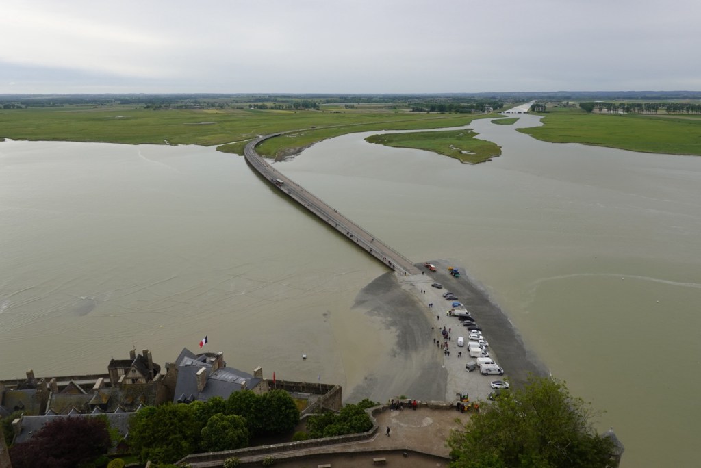
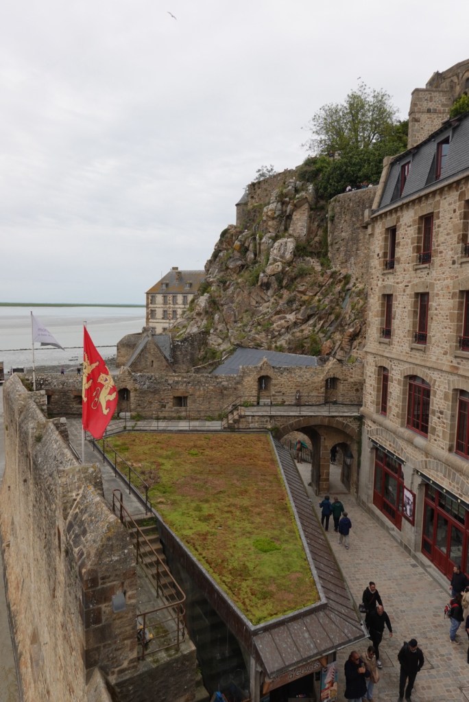
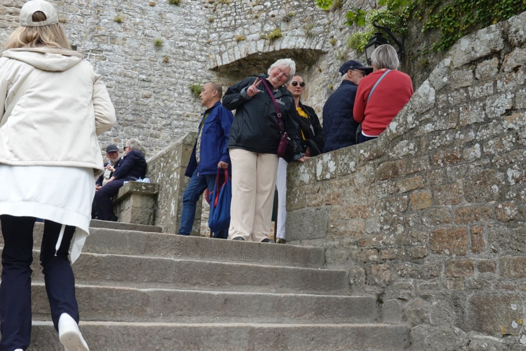
The trams from the parking lot disembark tourists on the bridge. The trams never need to turn around as they can be driven from either end! When we arrived, near high tide, the lowermost entrances were flooded, so we had to climb up a ramp initially.
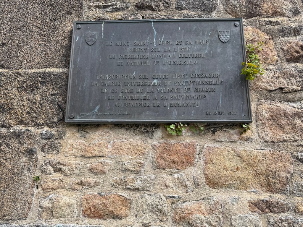
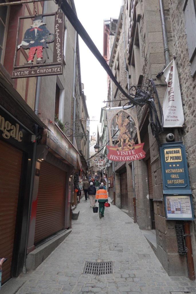
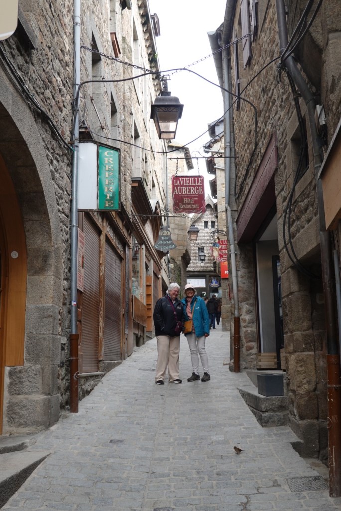
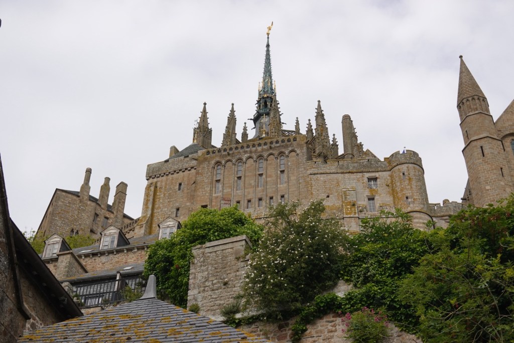
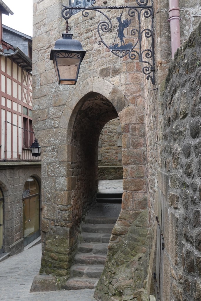
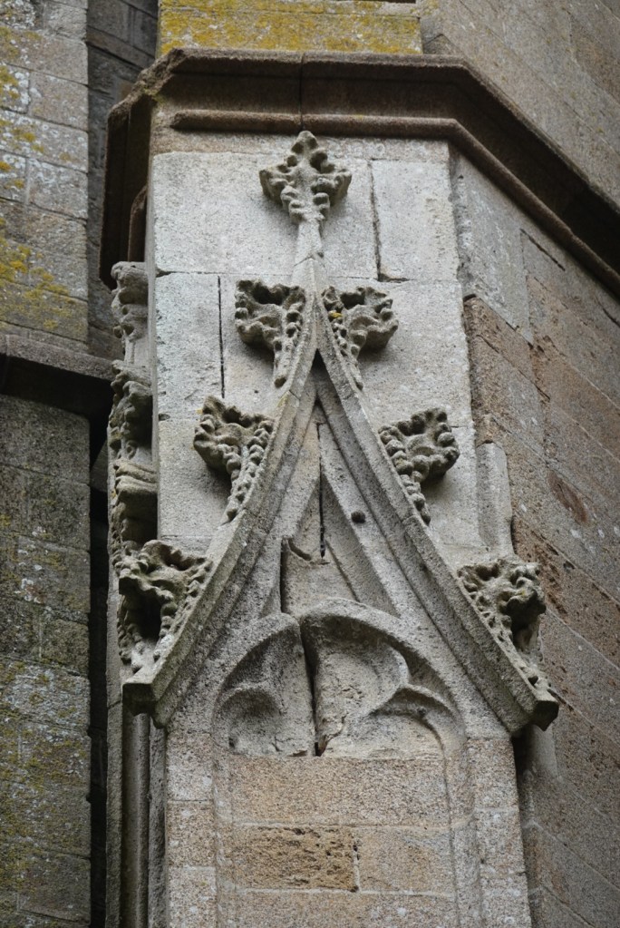
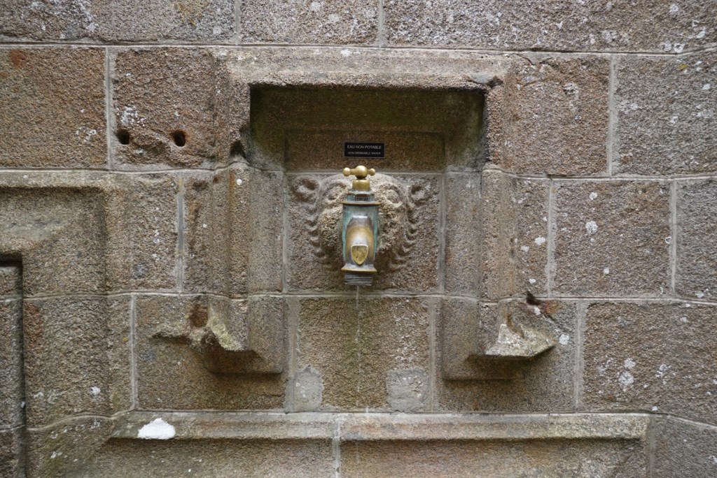
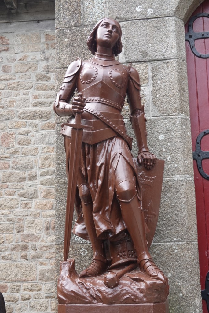
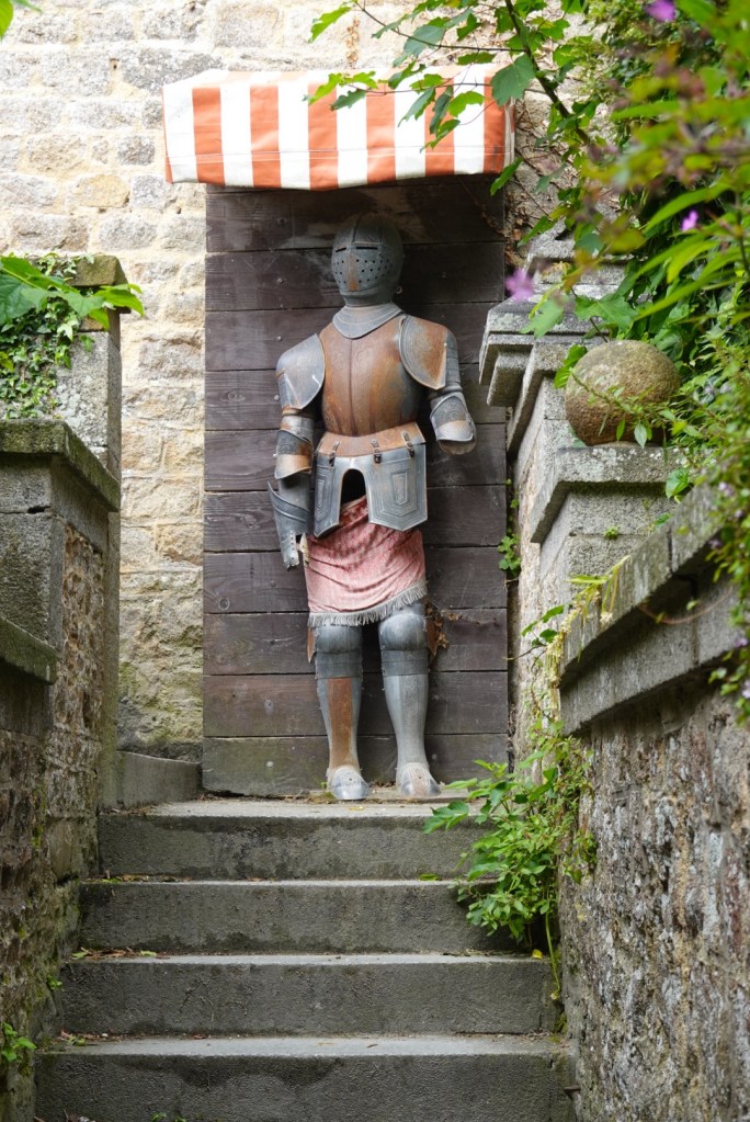
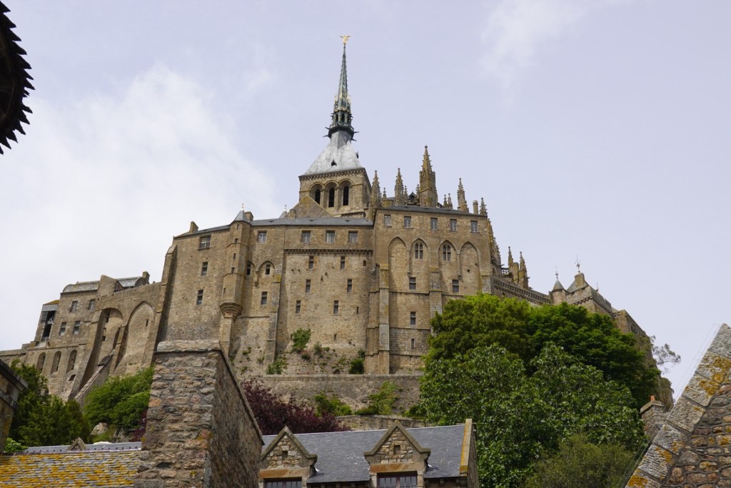
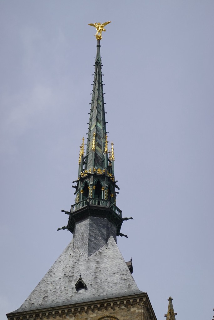
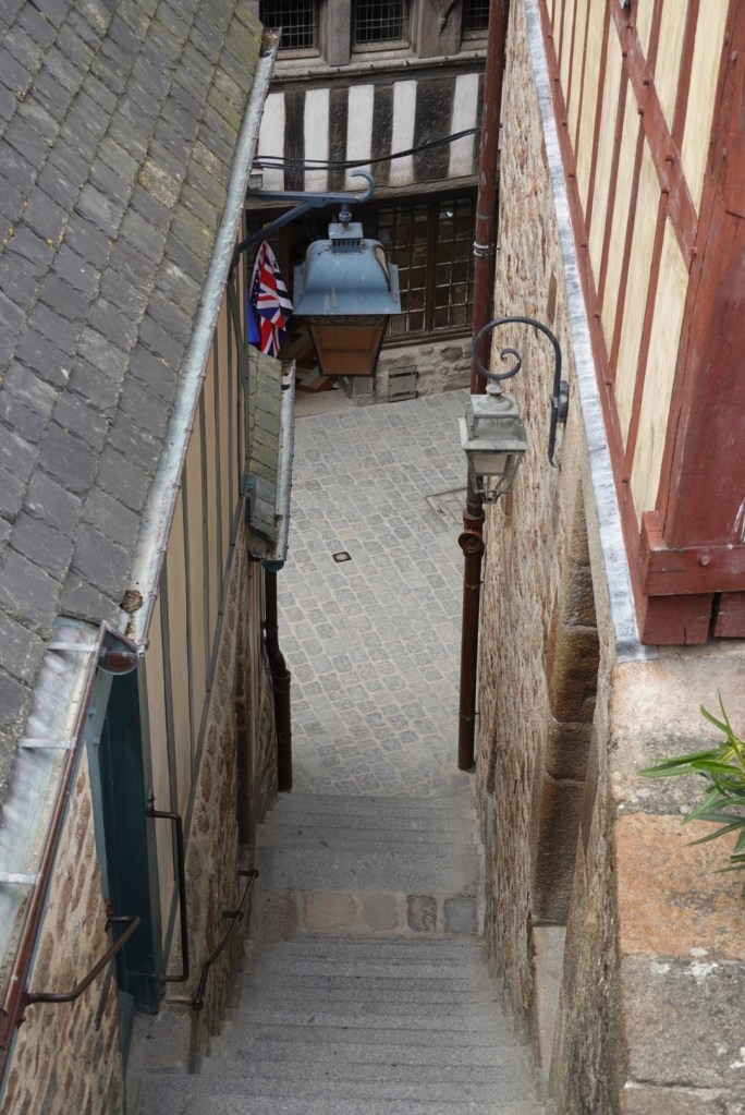
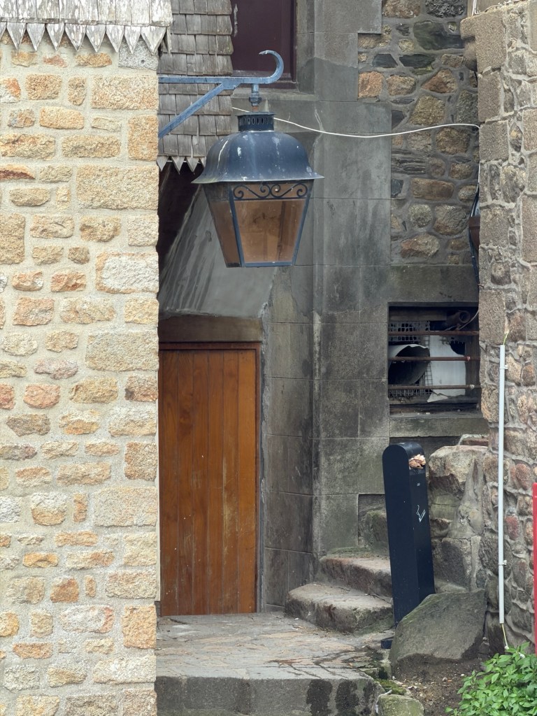
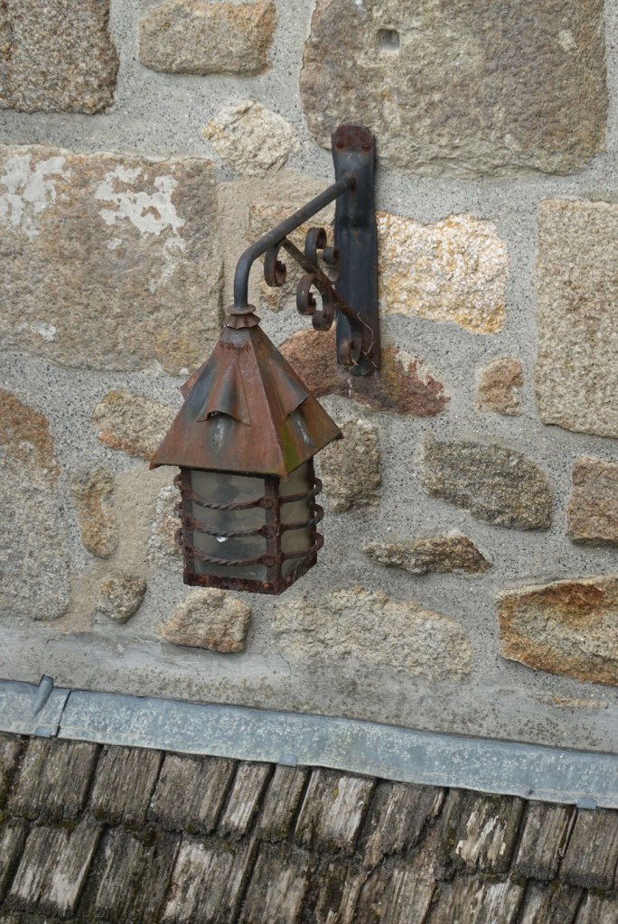
Water, water everywhere!This place became a UNESCO World Heritage Site in 1979.Part of the old drawbridgeMany shopsClare and JoëlleFirst view of the abbey on the summitLamp with St. MichaelFancy stone ornamentationLion water spigotJoan of Arc statue placed when she became a saint in 1909A knight in not-so-shiny armor!
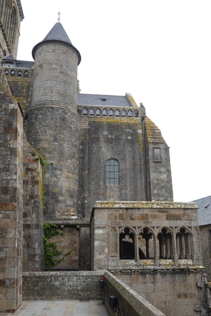
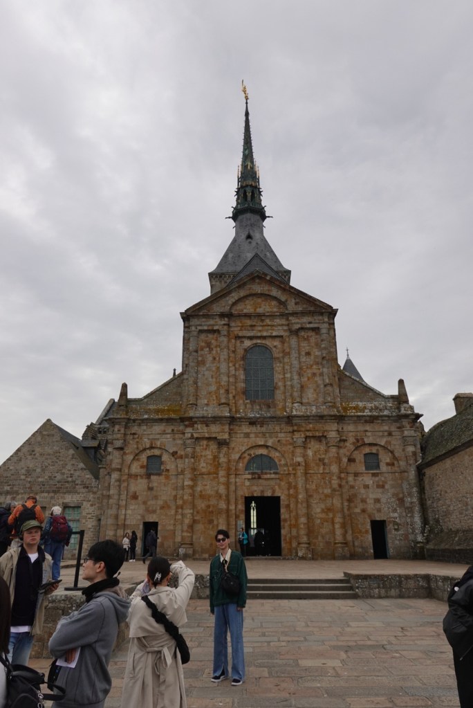
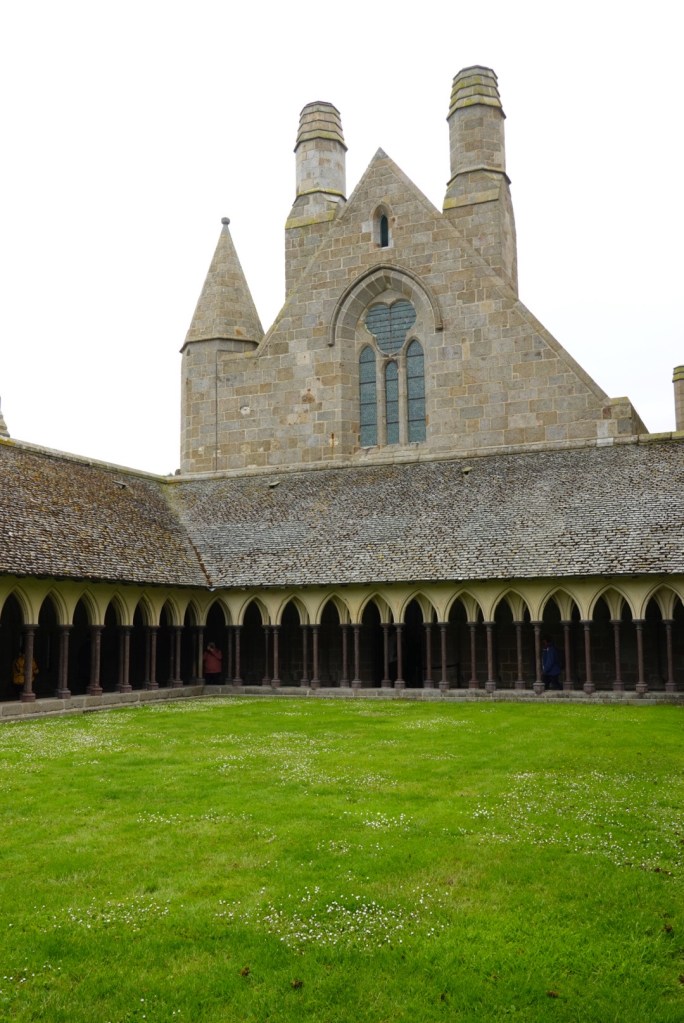
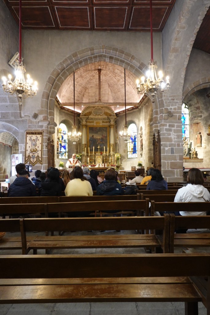
After climbing up many staircases, we reached the west terrace of the abbey. It is here only because a fire destroyed the west end of the church in 1776.
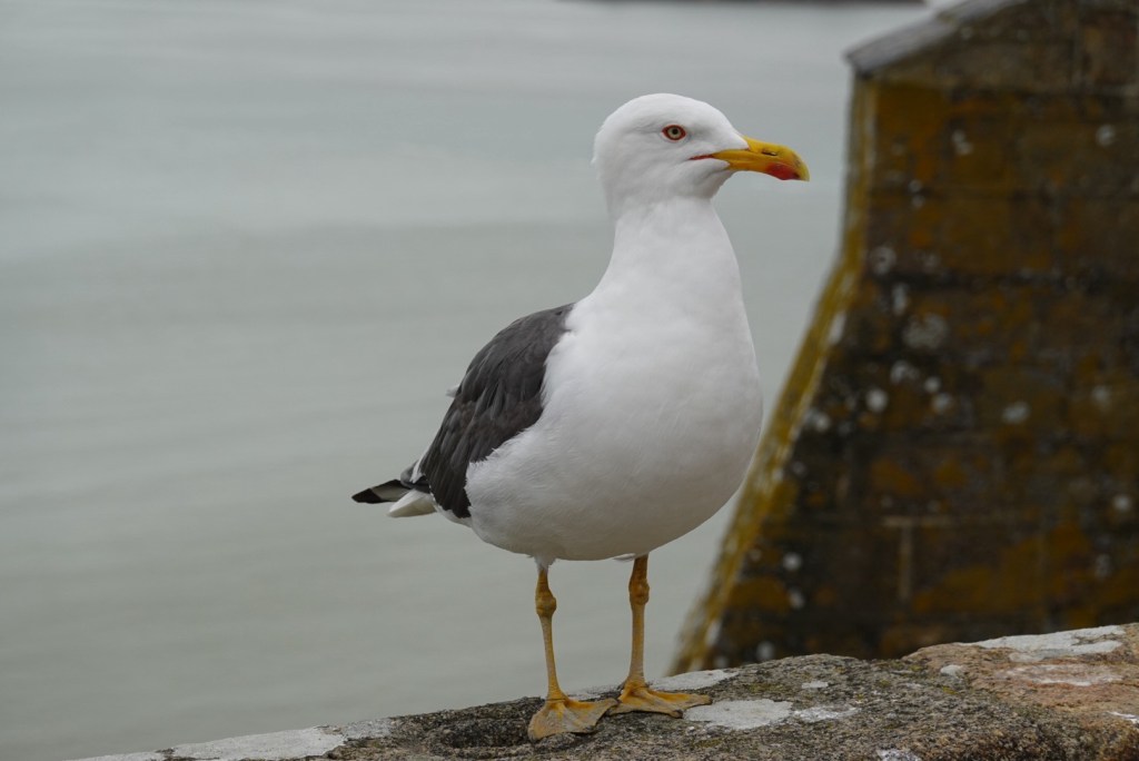
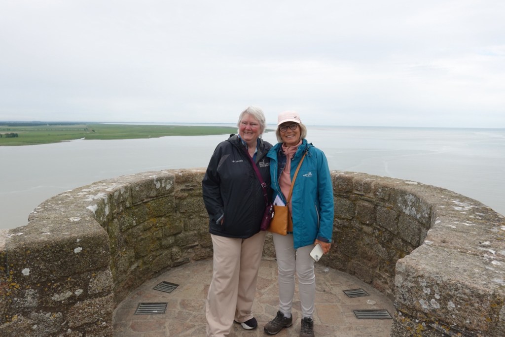
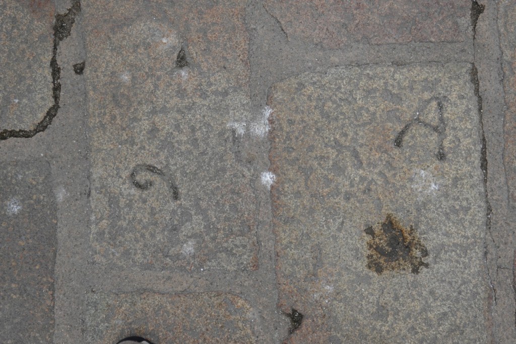
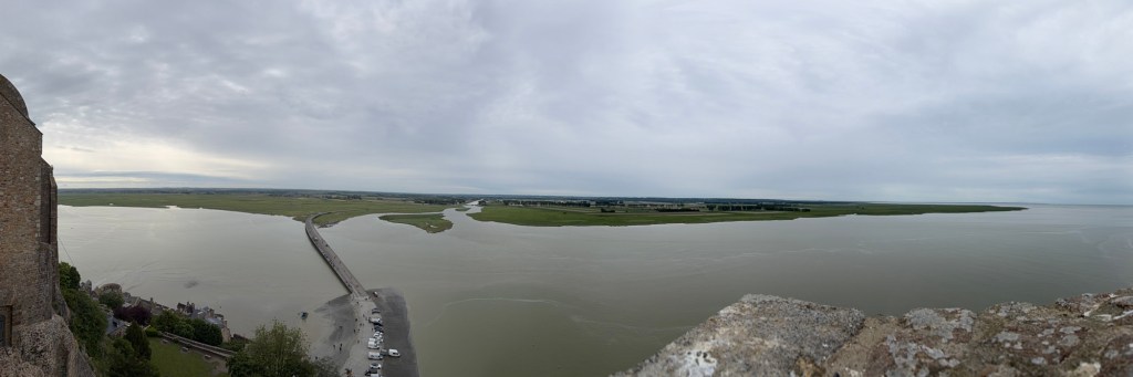
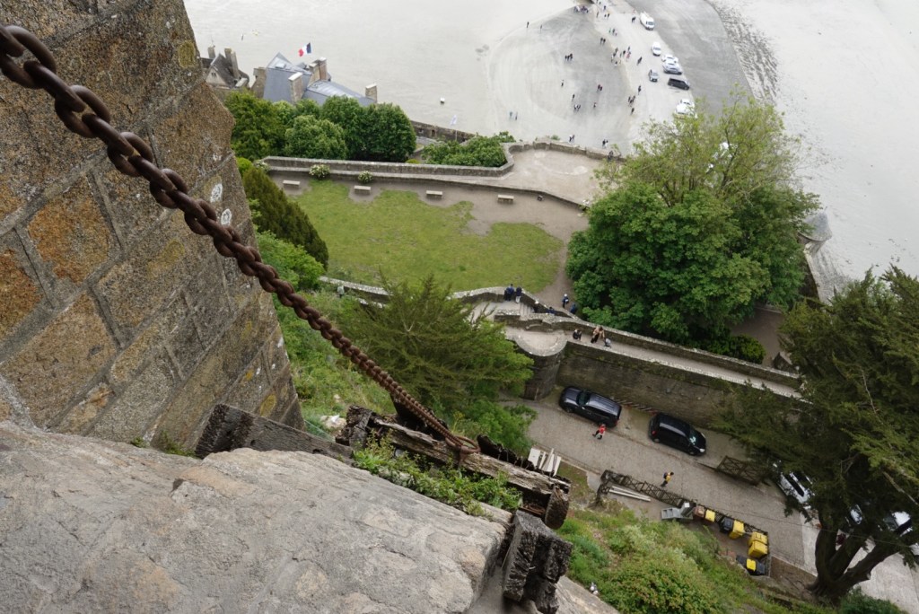
Looking down on a towerLooking down at the bridge installed in 2014Posing gullClare and JoëlleStone mason’s marks on terrace stonesPanorama of the bay and adjacent shore
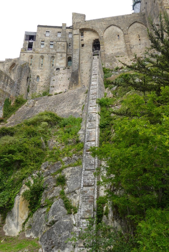
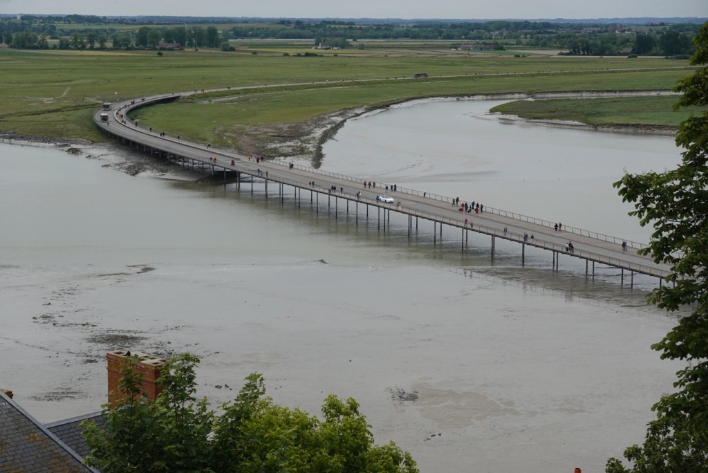
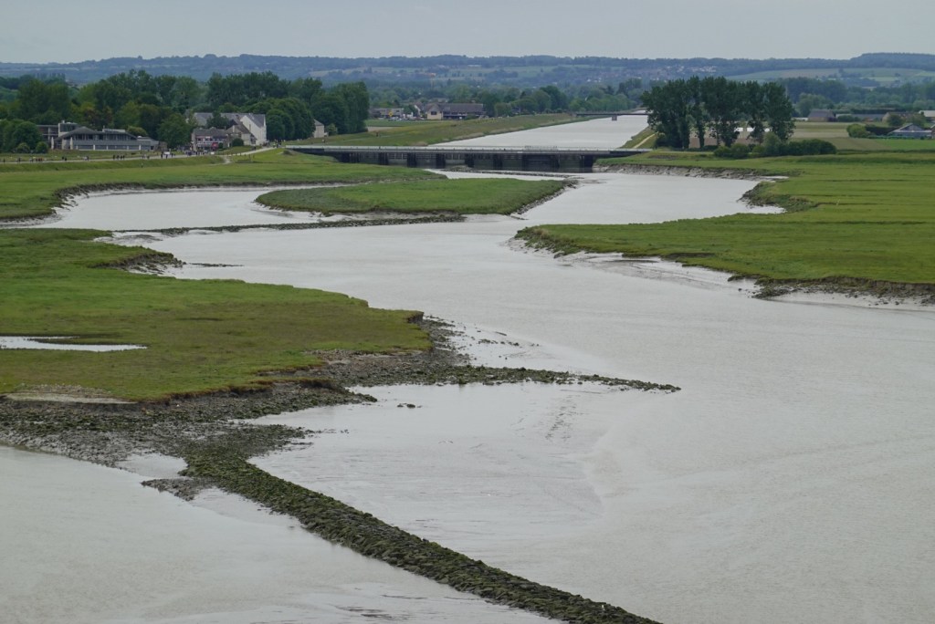
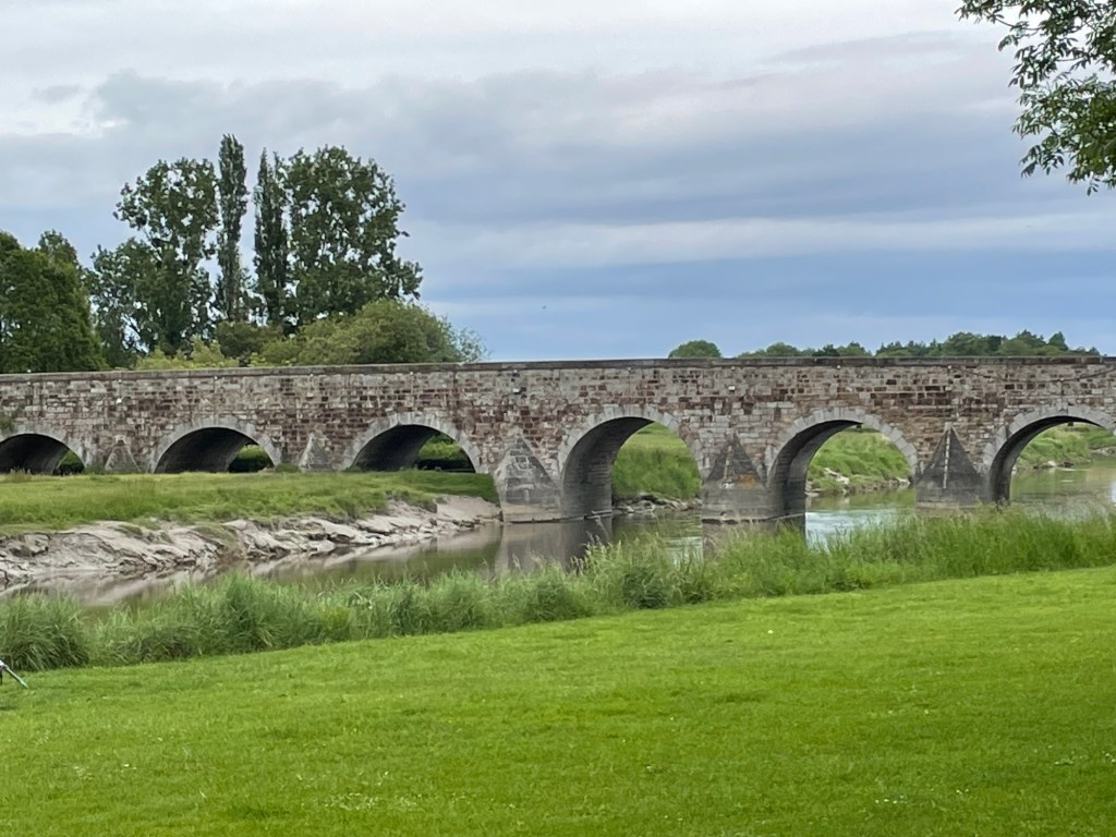
Years before, humans built a road to the fortress, which blocked the flow of water. Both Marc and Joëlle remember visiting here as children and driving right out to the base of this fortress. Later, in 2014, engineers changed the road into a bridge to allow water to flow around the island and prevent the build-up of mud and sand..
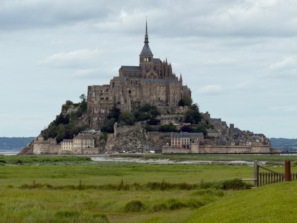
We enjoyed exploring every part of the island-castle-fortress.
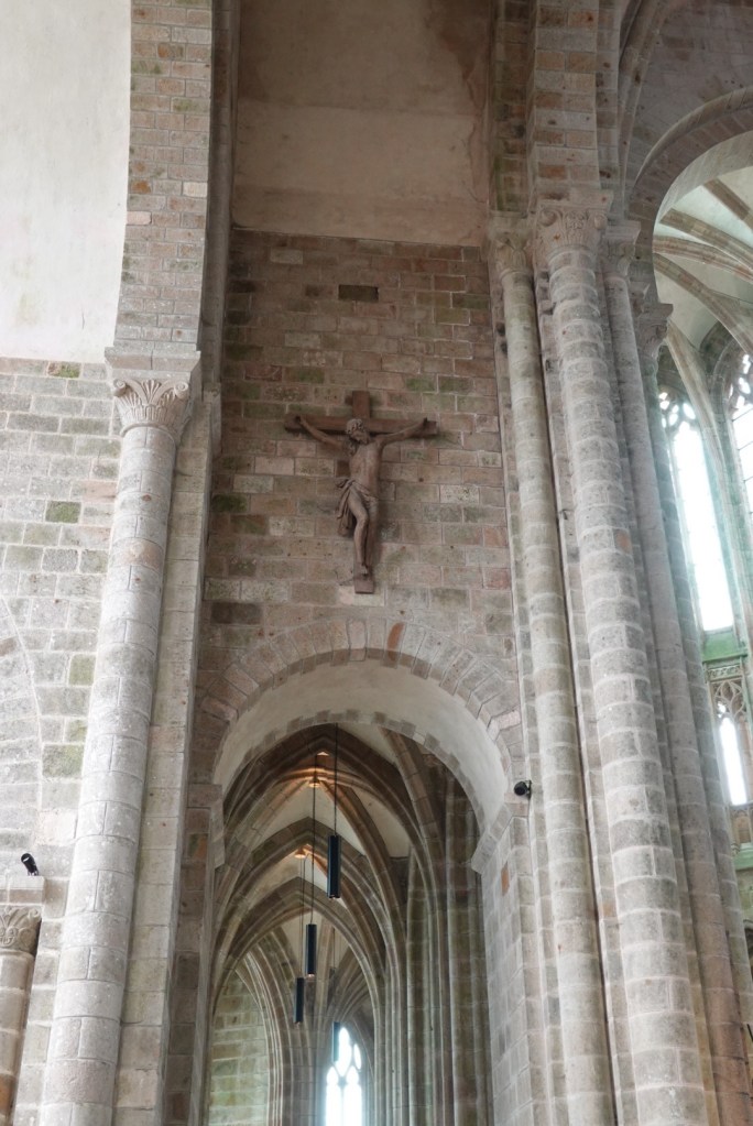
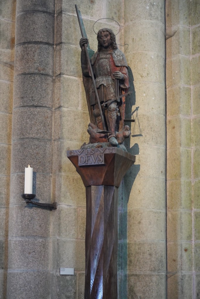
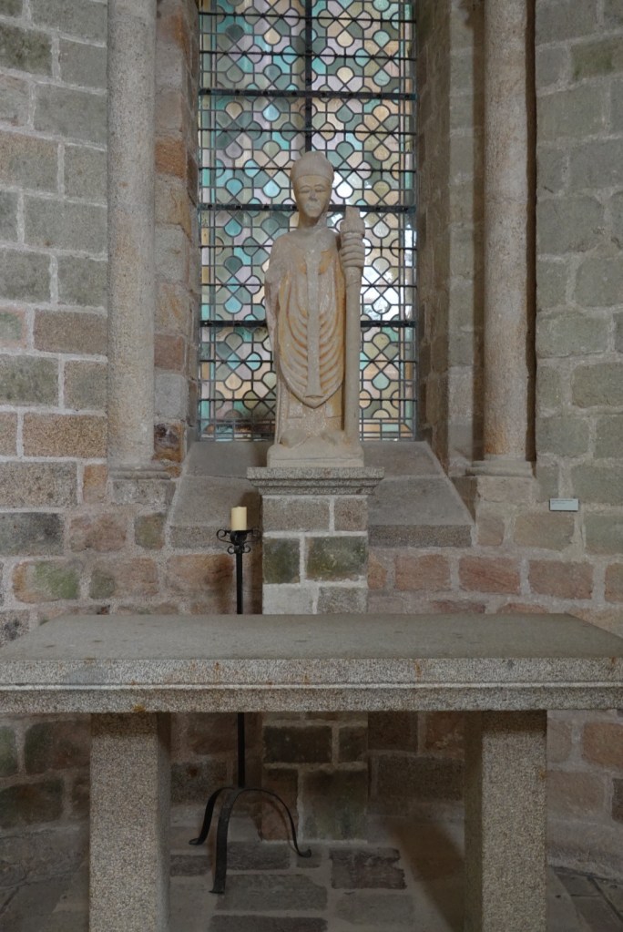
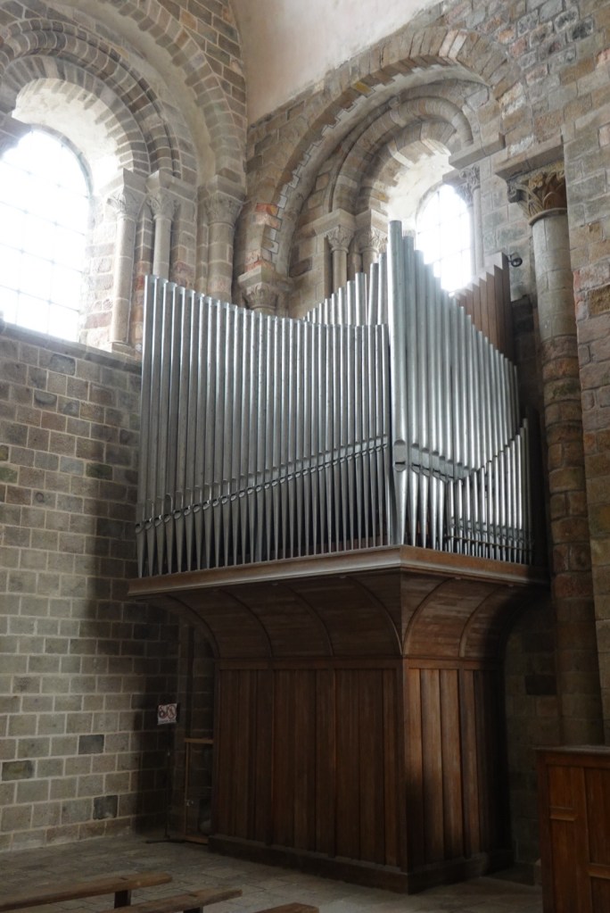
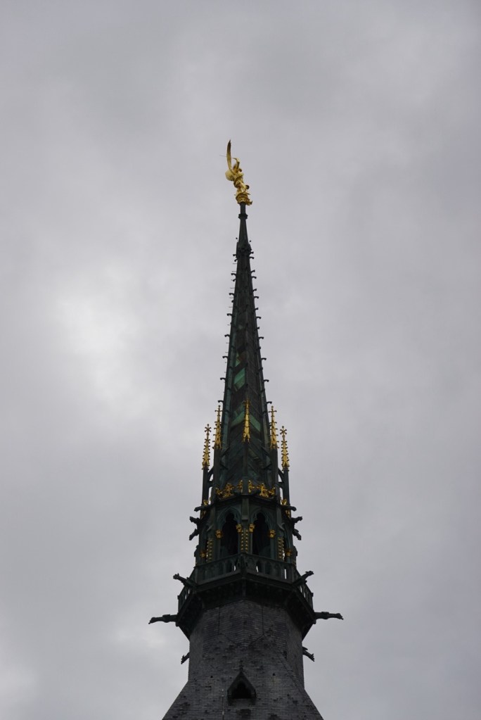
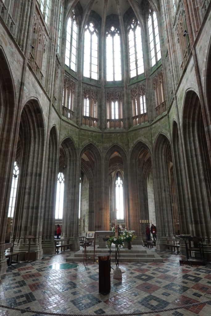
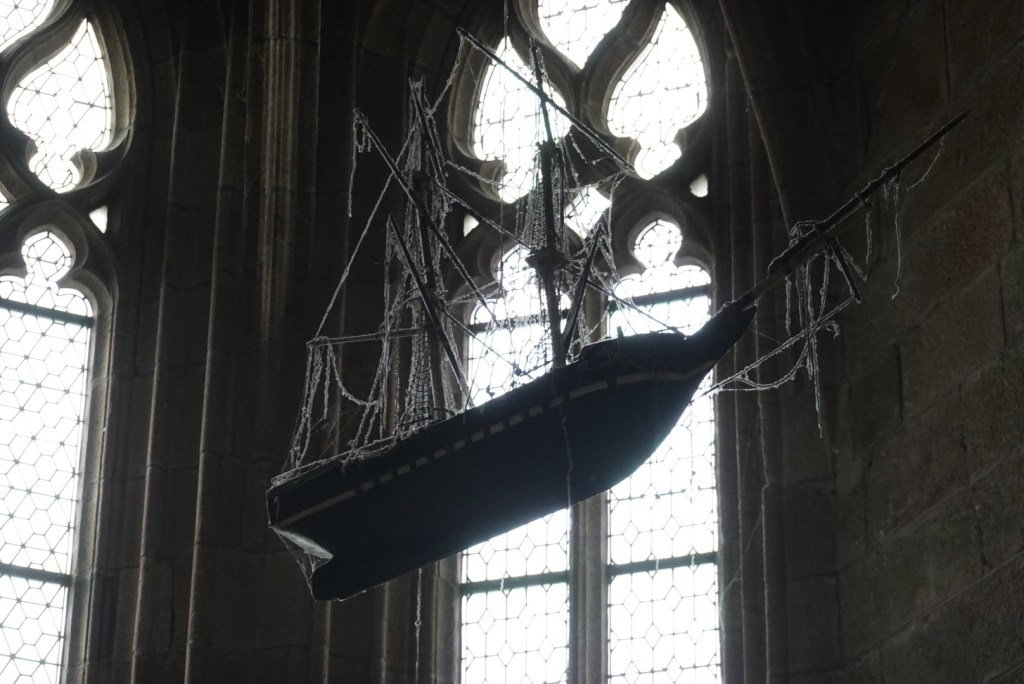
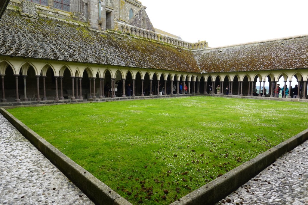
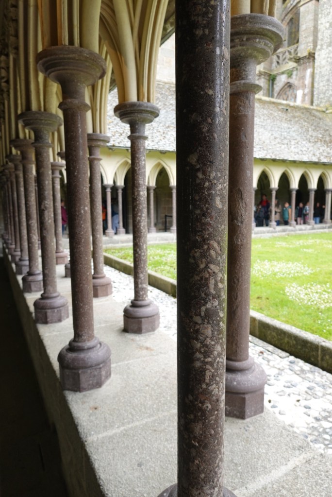
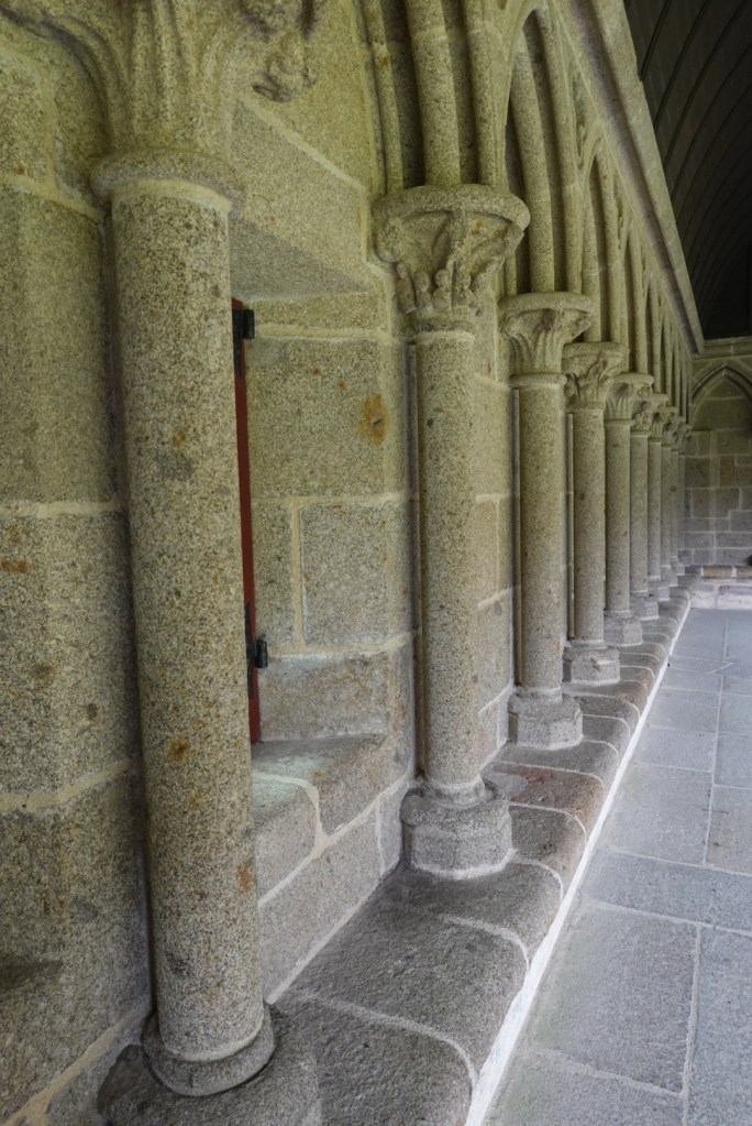
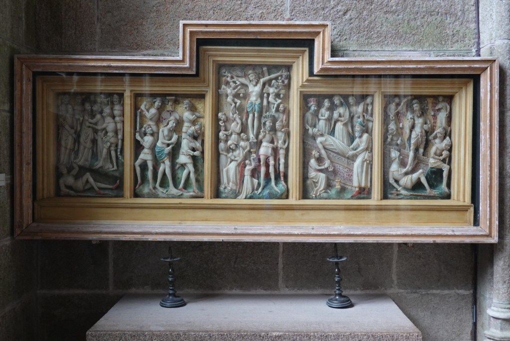
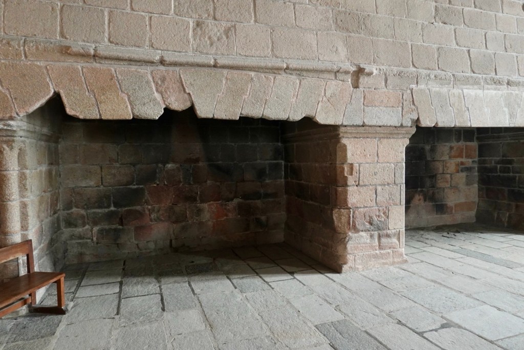
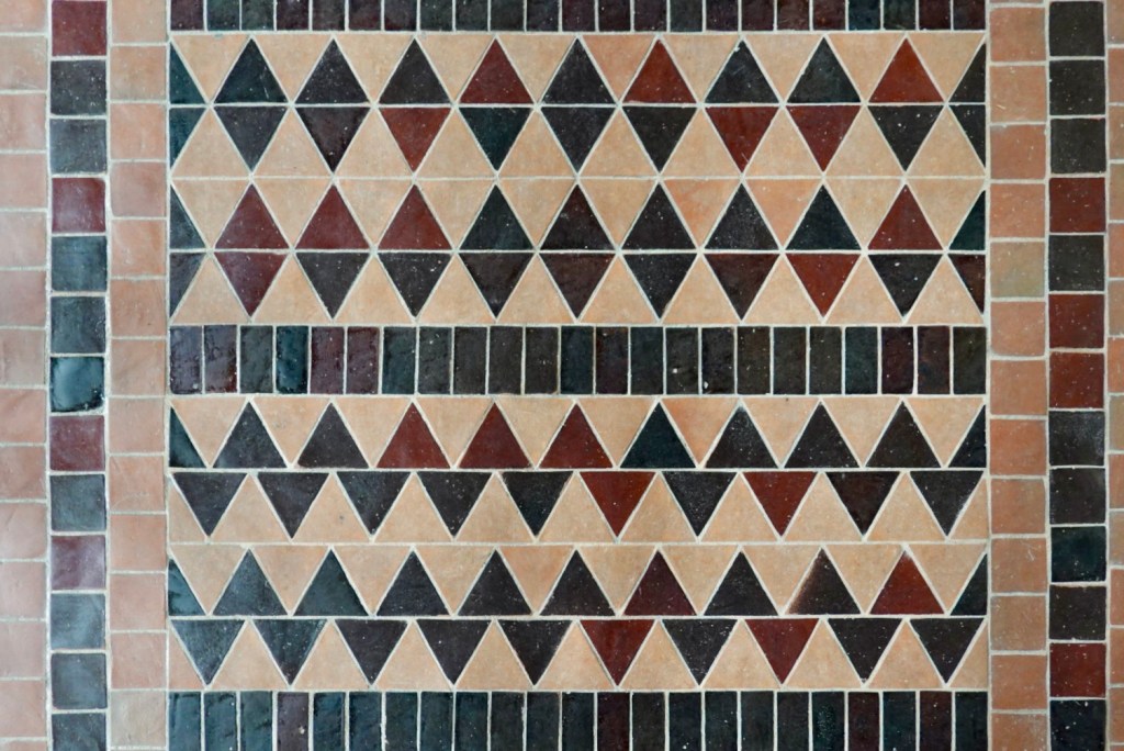
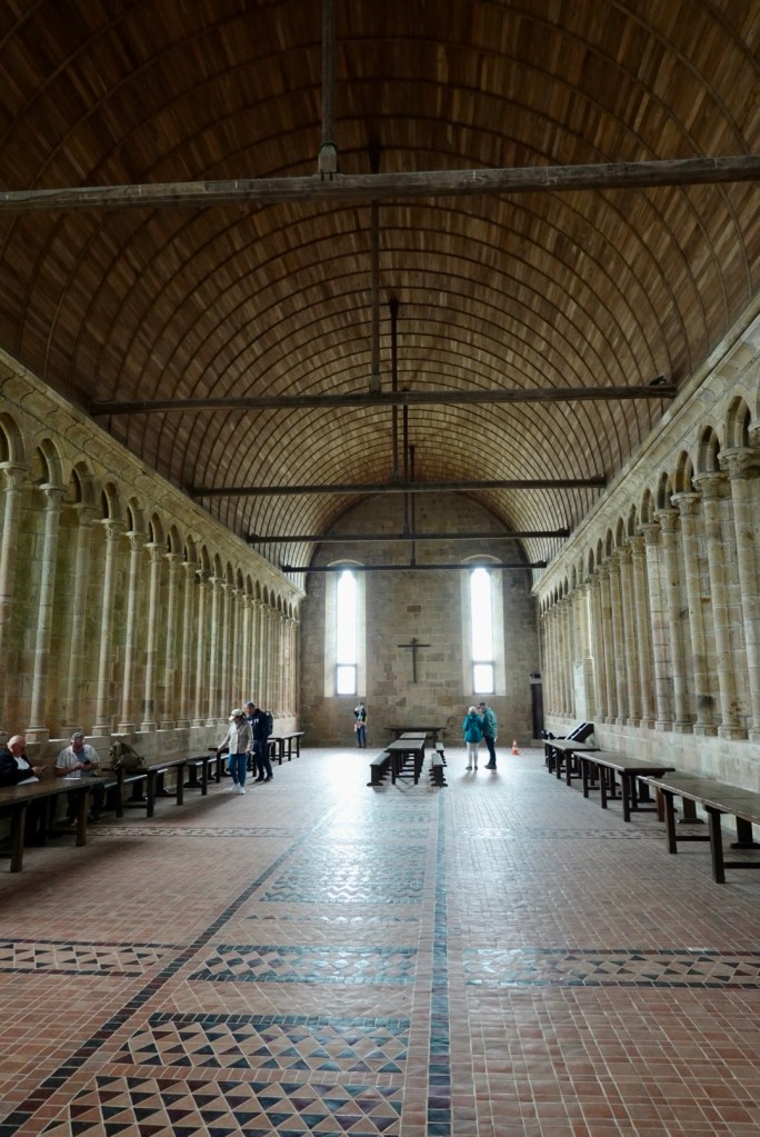
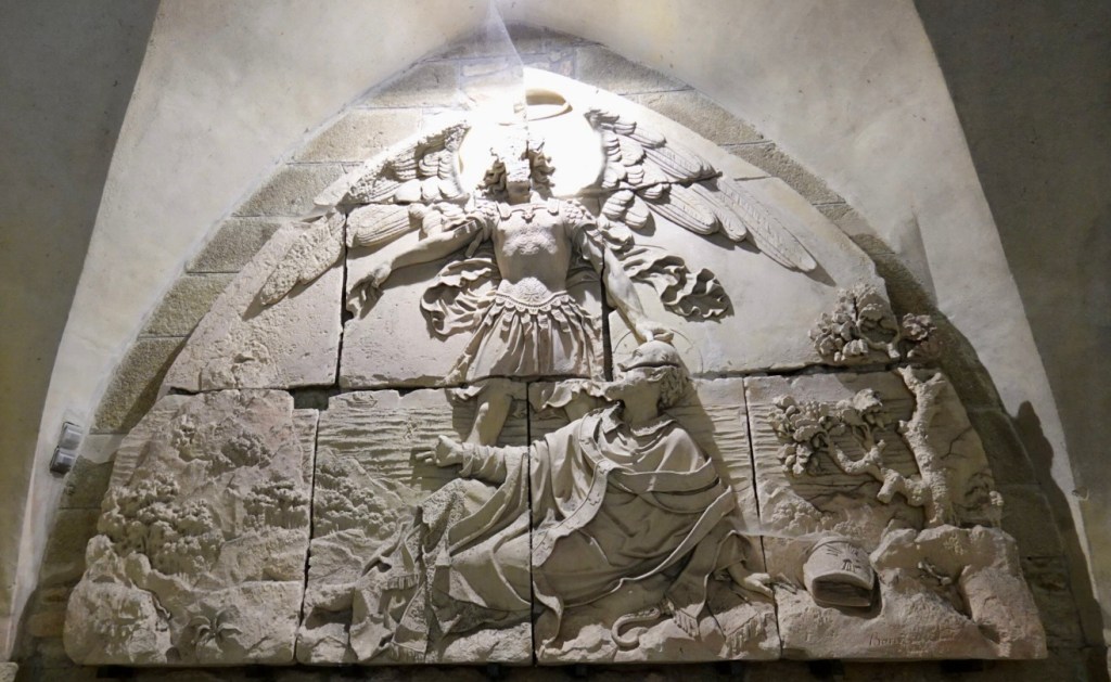
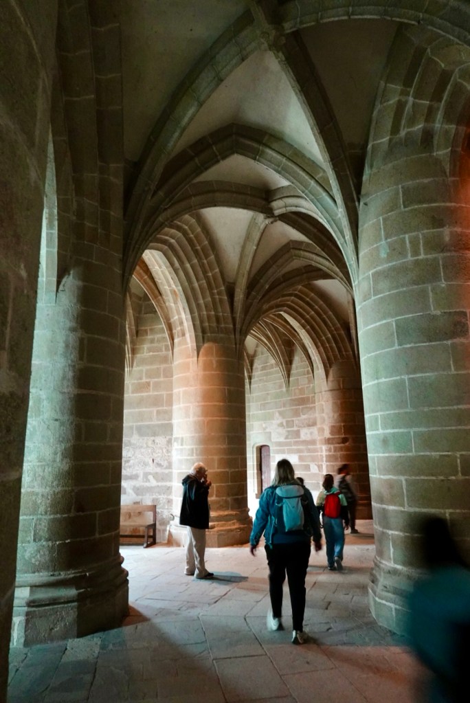
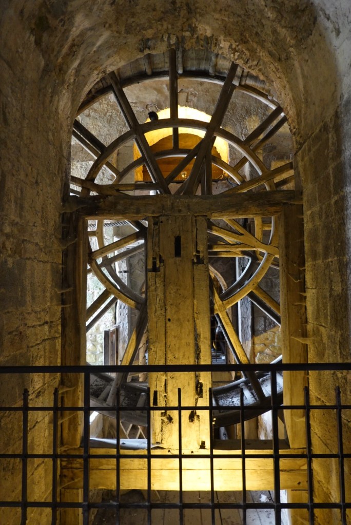
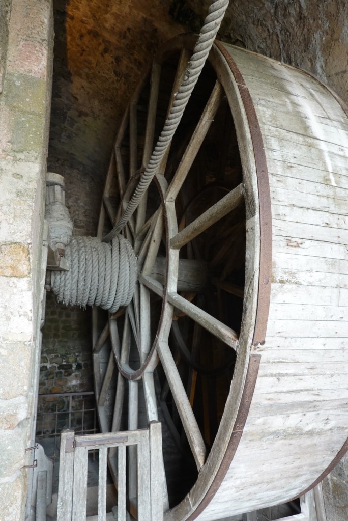
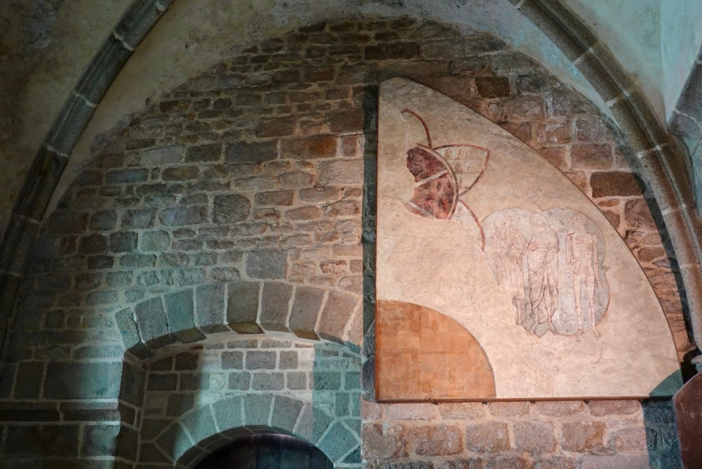
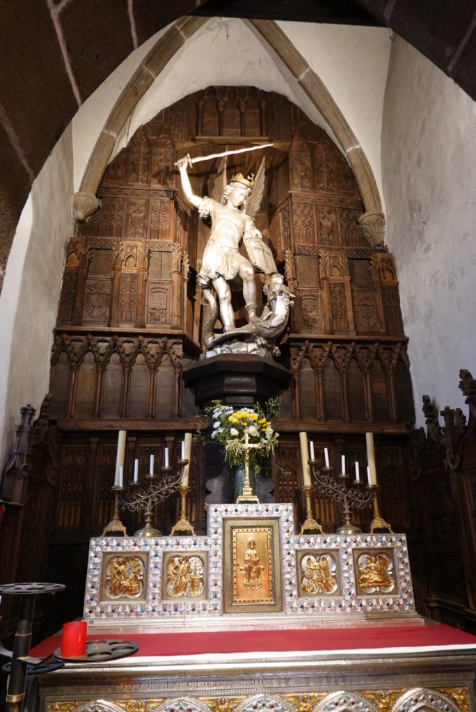
St. MichaelSt. Aubert, founder of the abbeyAn unusual layout for a pipe organ!The current church is not fancy, dating from the 12th to 15th centuries.Façade rebuilt in 1784Steeple, St. Michael on topAltarSuspended pirate ship?The cloister, with different columns on the inside and outside. The pillars were offset, minimizing the possibility of monks accidentally seeing each other.Carvings in a side chapelHuge fireplaces to heat the large room used to greet royal guestsFloor tile patternsMonks ate their meals here while one read from scriptures.Carving depicting Archangel Michael putting his thumb on St. Aubert’s head to convince him to construct the abbey here.Huge pillars support part of the church aboveThick wallsReplica of the wheel turned by imprisoned monksImagine treading on the inside of the wheel with another monkLooking down at the hoist operated by the wheelLooking up at the hoist cablewayRemnant of 13th century fresco
A group of musicians were performing for school children in a multi-story hall as we left the abbey.
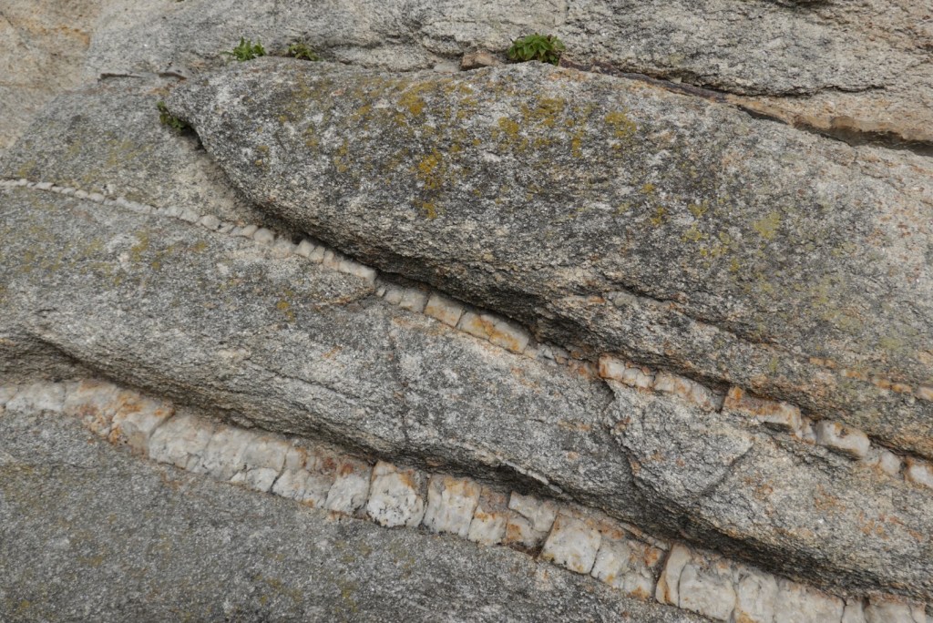
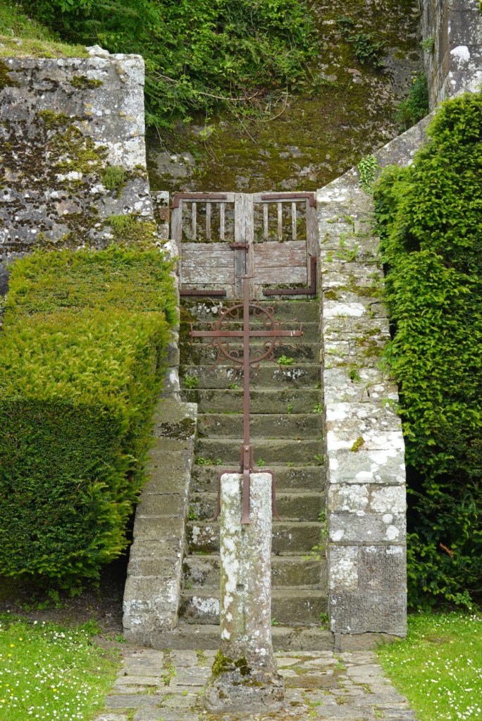
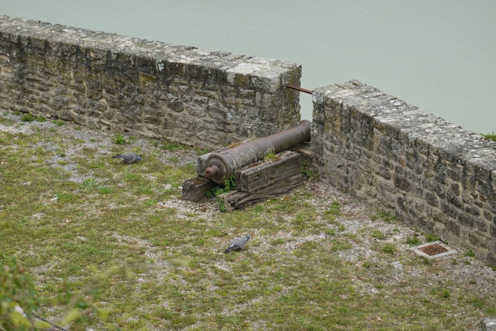
Bedrock with quartz veinsCross by the stairsCannonThe tide is going out
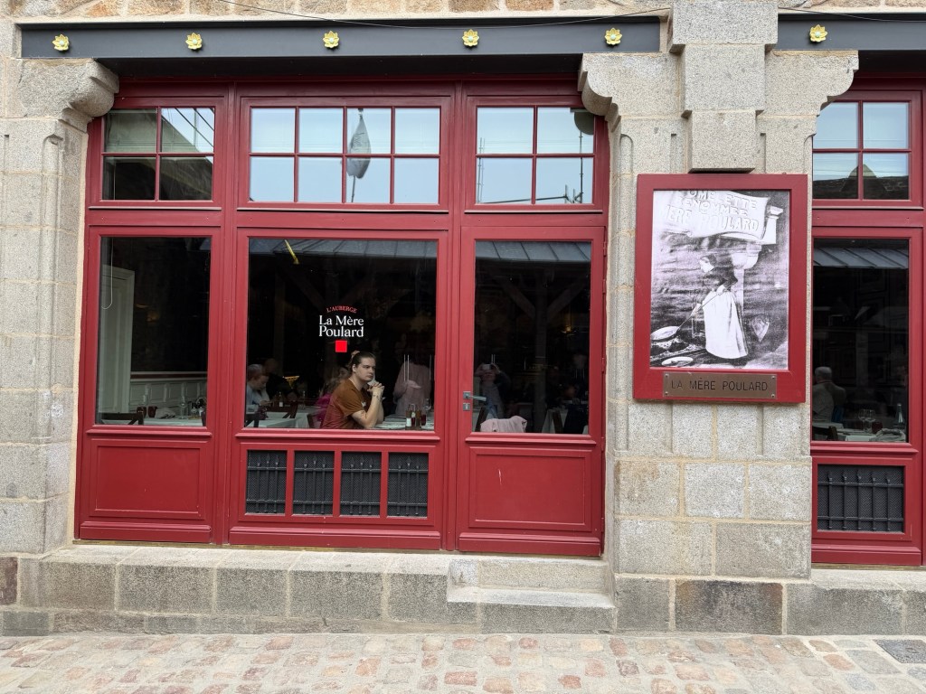
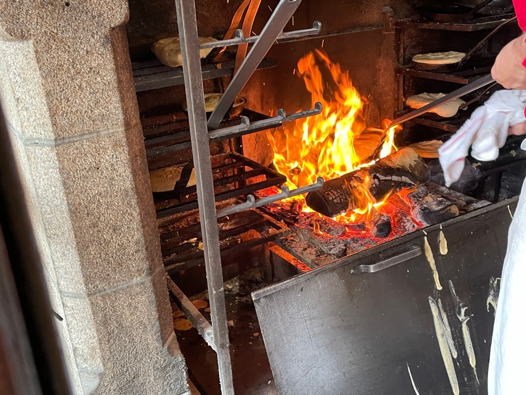
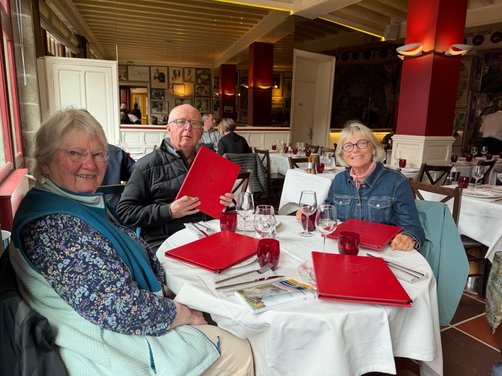
We enjoyed an unusual lunch in a fancy restaurant on Main Street, La Mère Poulard, famous for its omelettes.
Window of restaurant with La Mère herself in photograph Omelettes, cooked over the fireQuite a fancy table!
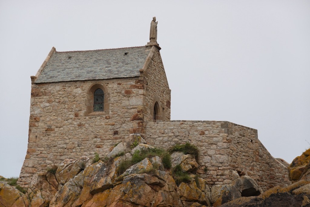
Soon after lunch, the tide was low enough for us to venture outside the castle walls for a view of a small adjacent chapel.
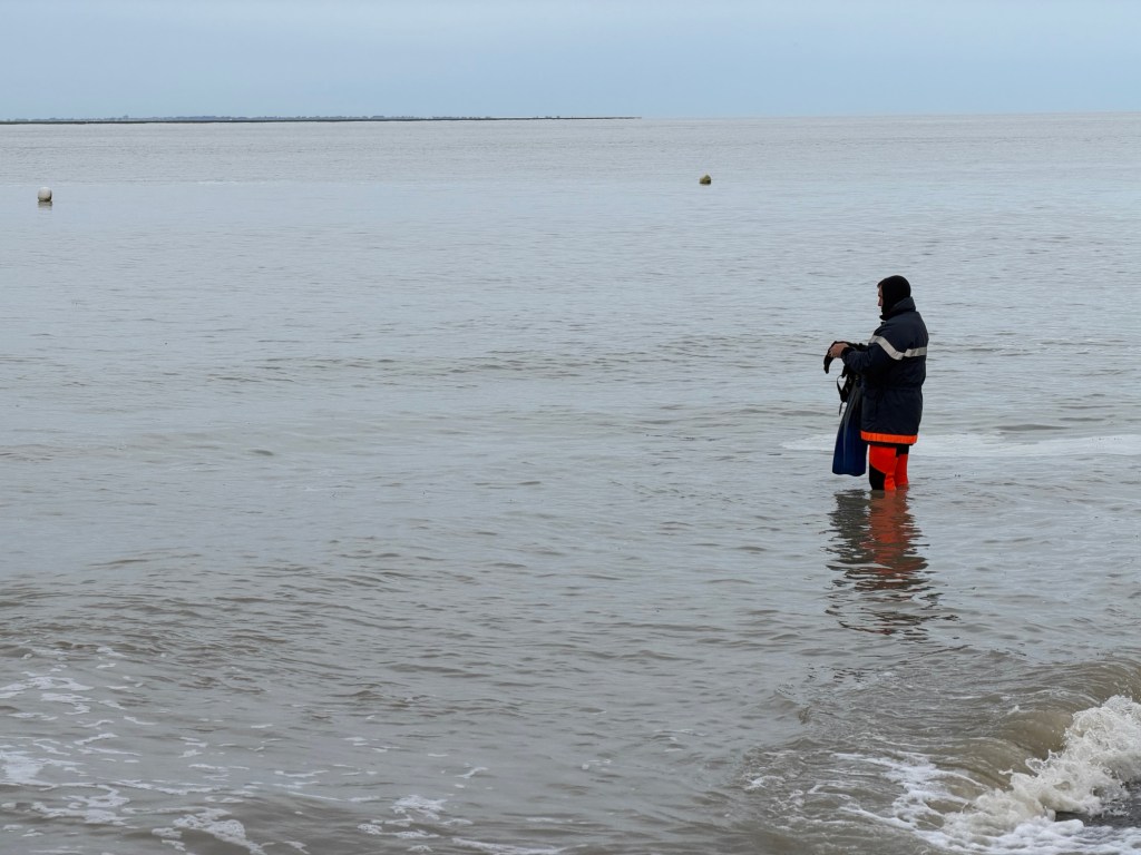
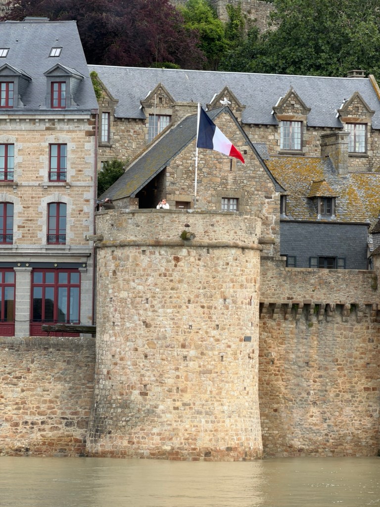
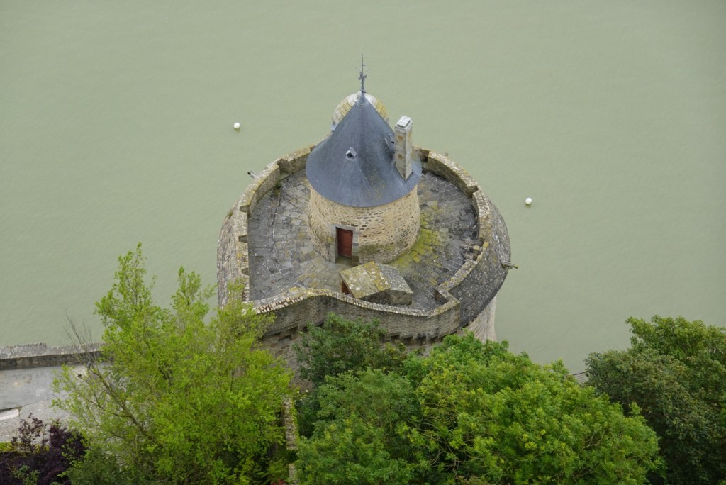
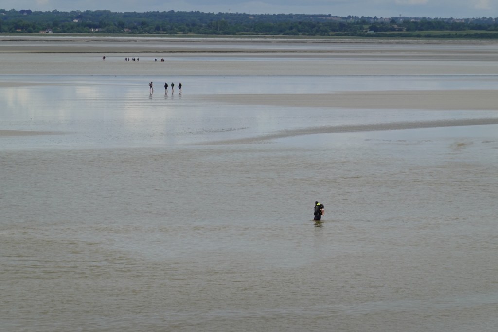
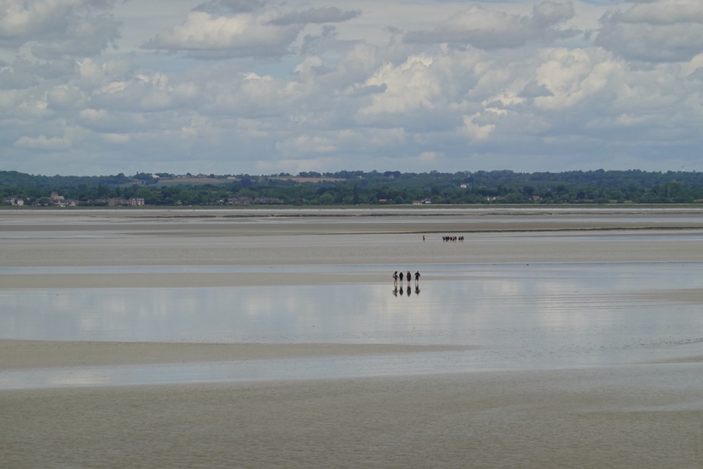
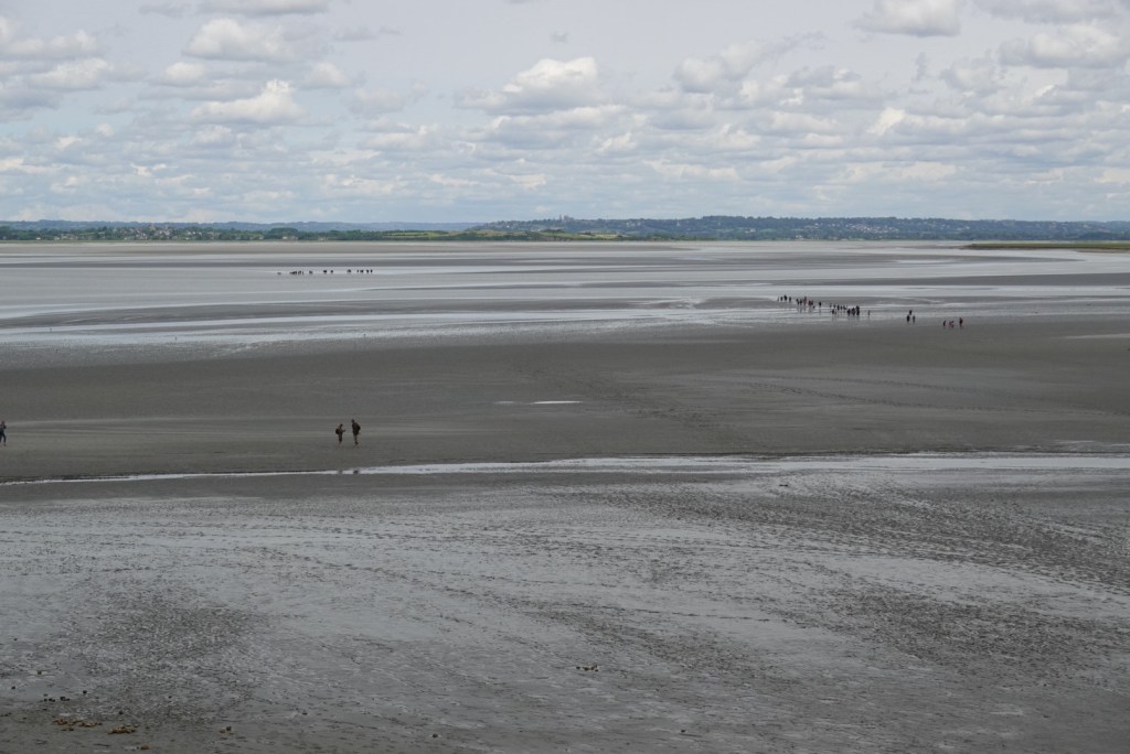
No water around this tower at low tideJoëlle testing the mudThe Gabriel TowerWader and walkers on the mudMany groups, some heading to adjacent islands where rock for the abbey was quarried
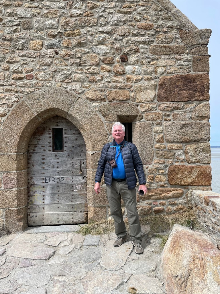
Getting down to the sand on the side near the small chapel was adventurous but worthwhile. We scrambled over some rocks, walked on the muddy sands, to find our way to the little chapel.
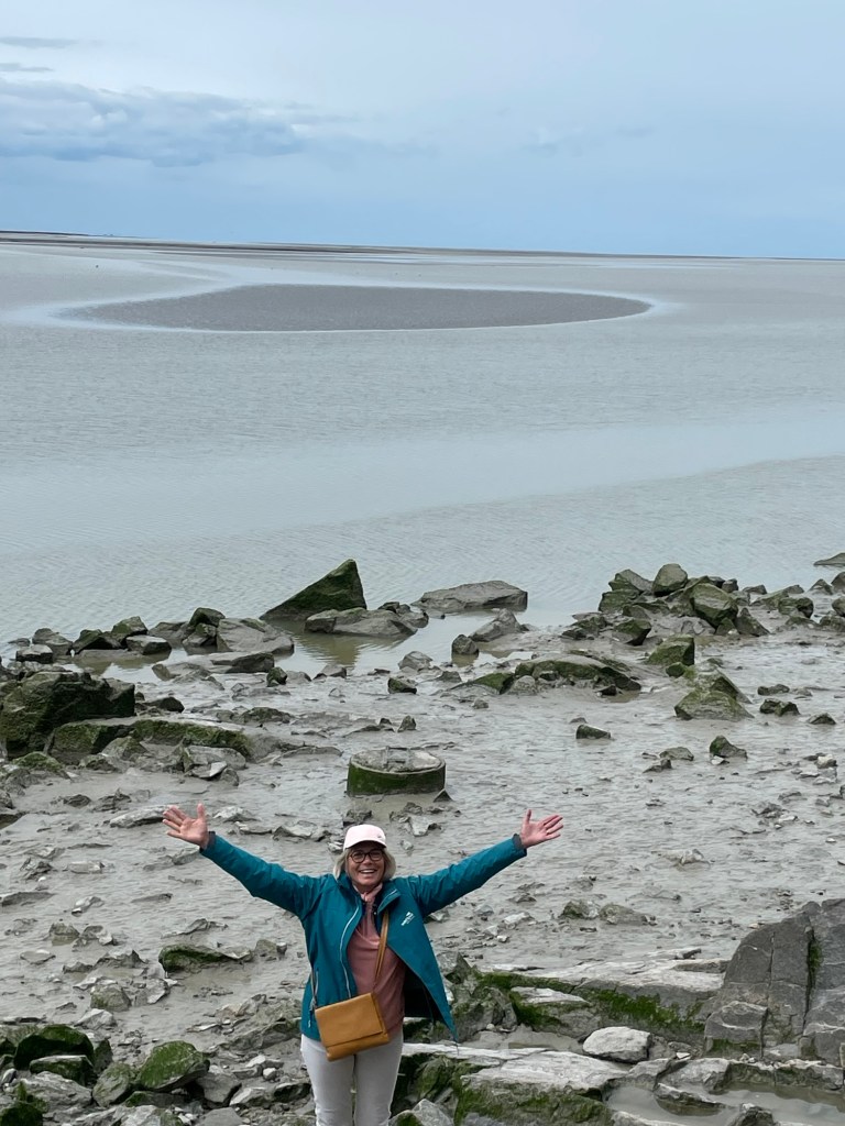
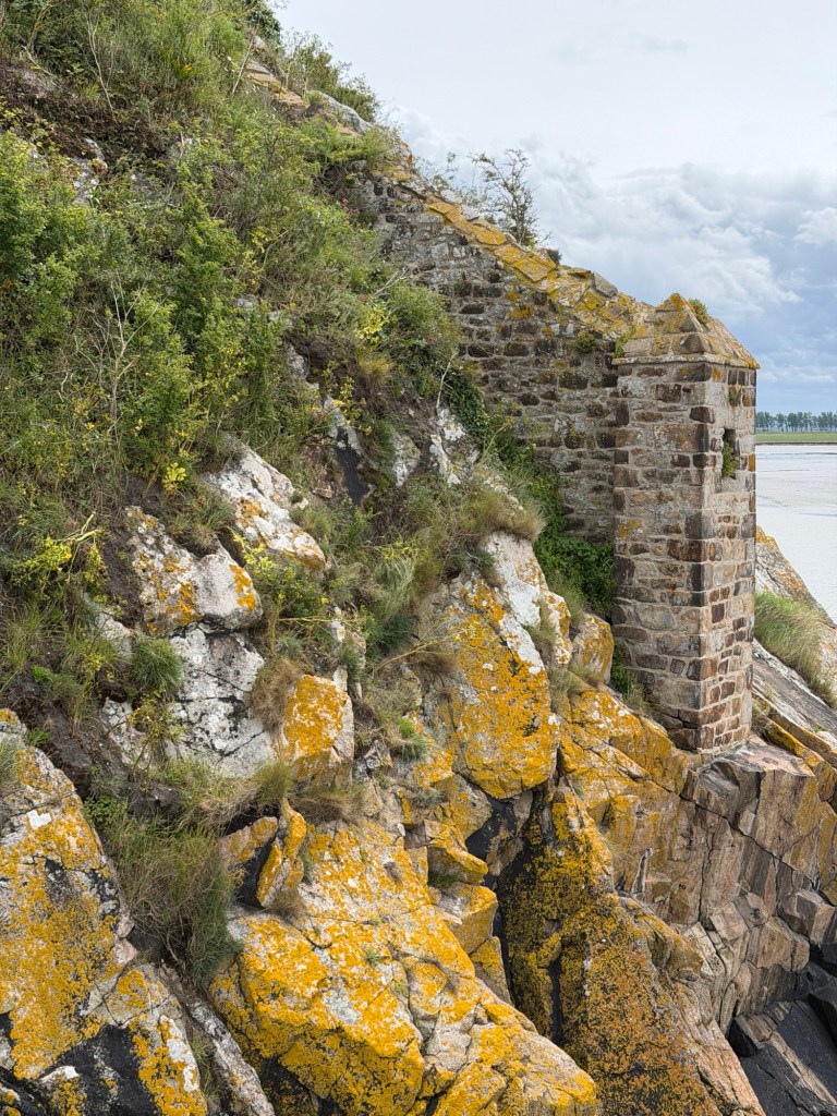
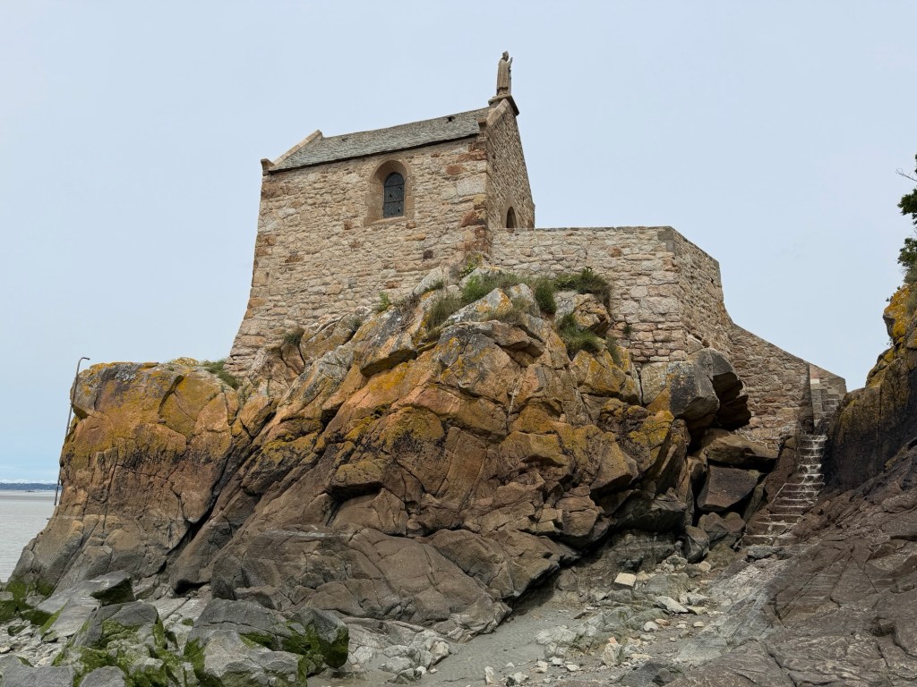
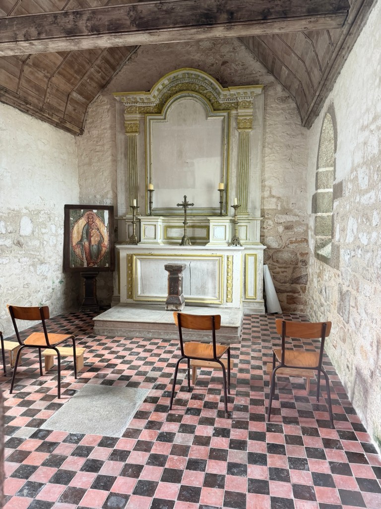
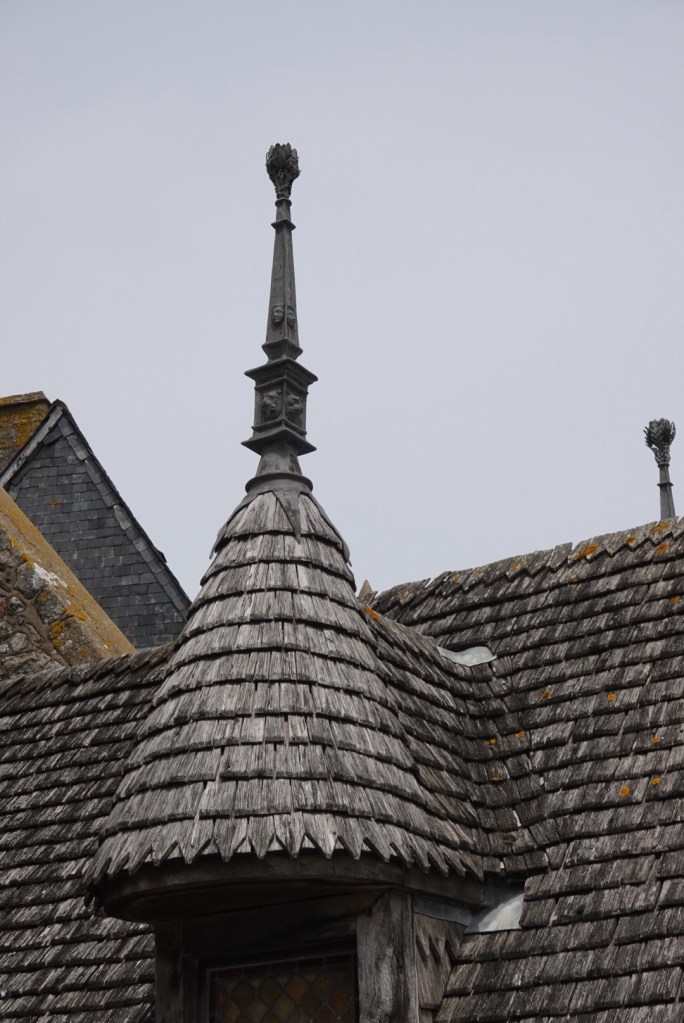
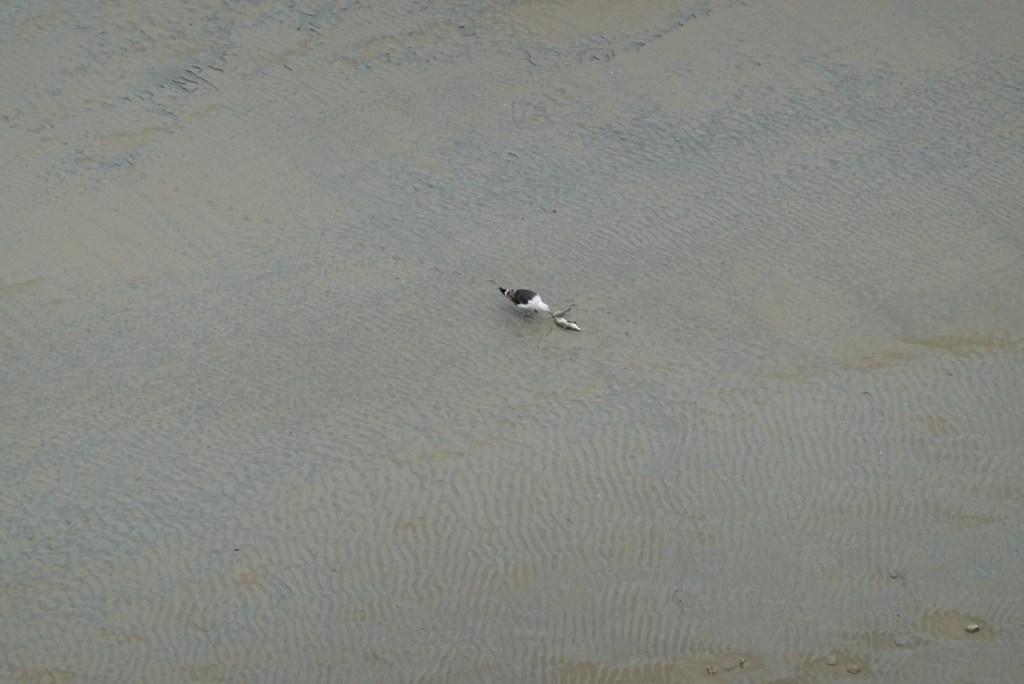
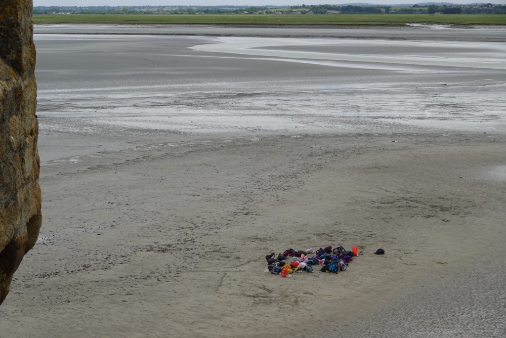
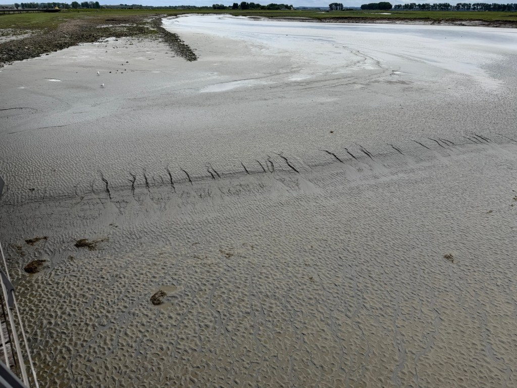
Beautiful lichenChapel on a hillBrian after taking photo of inside the chapelInside the chapelSt. Aubert ChapelViews from the ramparts that partially encircle the fortressClare at top of some stairsInside St Peter’s ChurchSt Peter slaying a dragonTwo varieties of lanternsGull finding lunch!Bags left by hikers planning to get back before high tide!Ripple marks evidence the currents caused by tides.Rivulets create miniature canyons in the sloping sands.Views of the mud flats near low tide
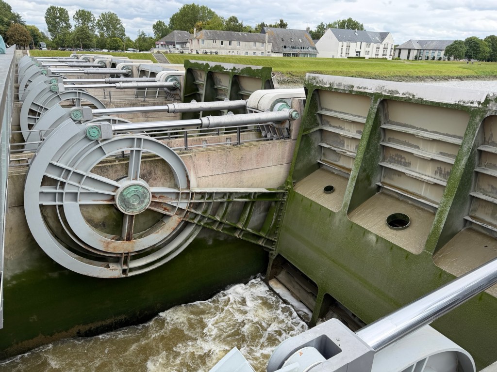
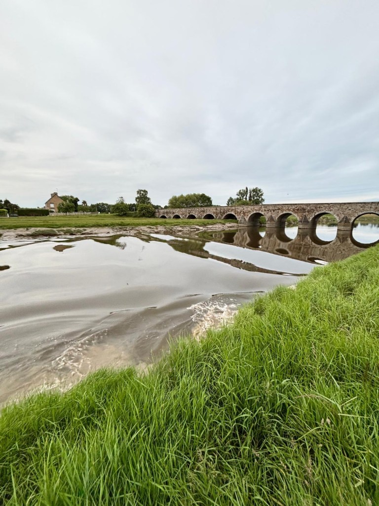
We walked back on the bridge past the first tram stop to see a dam constructed to release a lot of water at once in an effort to minimize sand deposition around the site. Brian turned back many times for photos.
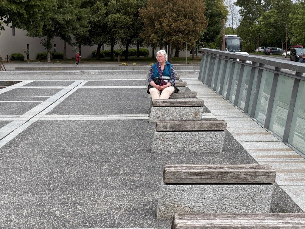
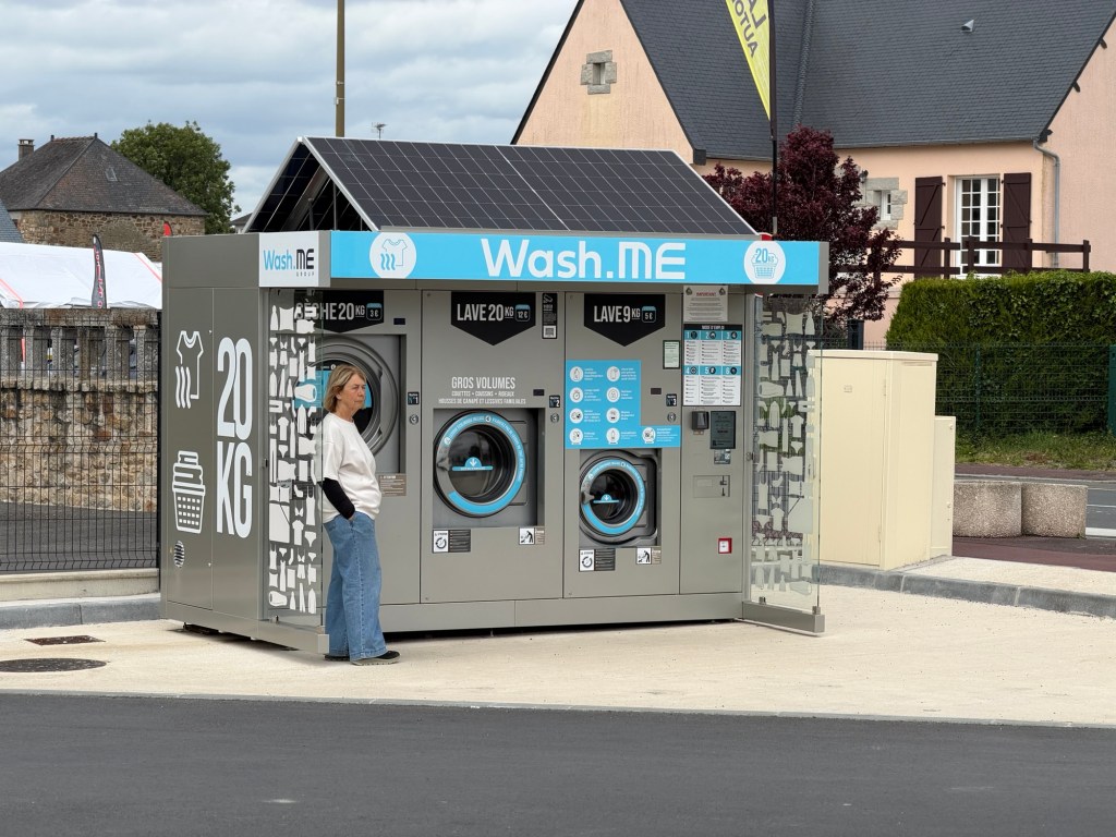
One does not tire from the views of Mont-St-Michel!River water released from the damTwo dam floodgates were opened Clare resting her legs at the damAt the market, there is an outdoor coin laundry! This one is conveniently close to a camping area.
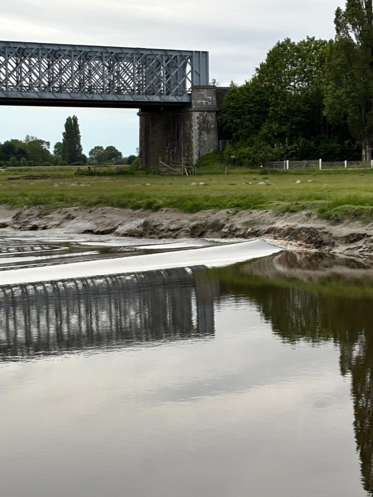
In the evening, Marc and Joëlle went to the river to see the tidal bore (mascaret in French), a wave-like surge that occurs at high tide when the tide opposes the natural flow of the river into the sea, affecting areas for miles. The tidal differential varies, as does the height of the wave when it occurs, technically twice a day. Our friends were able to take a video and pictures of the surge, the wave about a foot or two high.
Auto bridge in Pontaubault, near our AirBnB, when water was flowing normally, toward the ocean. Views as the wave passed Marc and Joëlle. Clare and Brian missed it.
Video showing river flow starting to reverse, natural flow right to left, changing to left to right in this view.