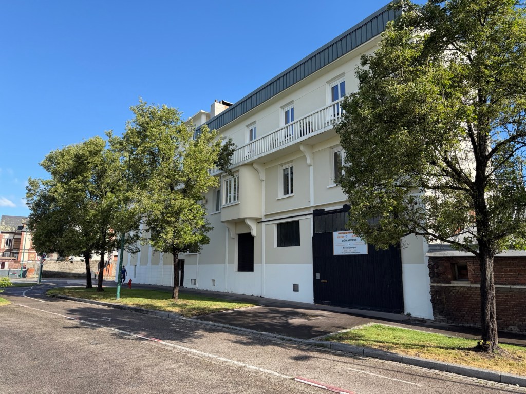
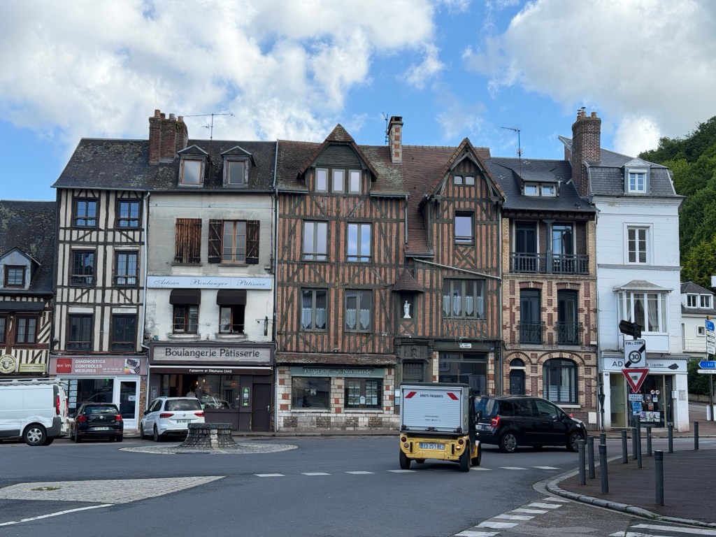
Last night we arrived in the town of Pont-Audemer where we will spend the next 4 nights exploring Normandy with our friends Marc and Joëlle. It is centrally located, so each day will be a short drive and a different direction, East, North, Northwest then West.
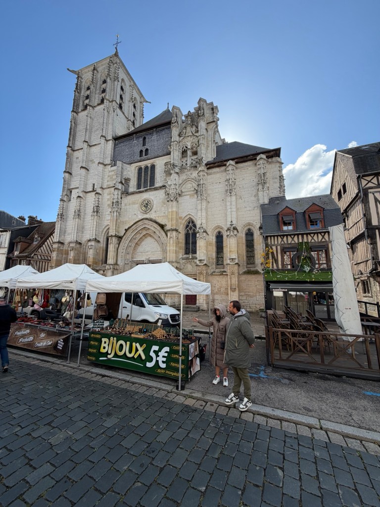
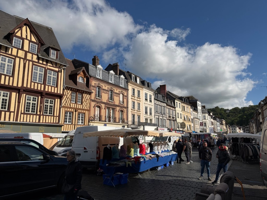
First, however, we went to the outdoor market a few blocks from our AirBnB. Like in many towns in France, the outdoor market is open only two mornings a week.
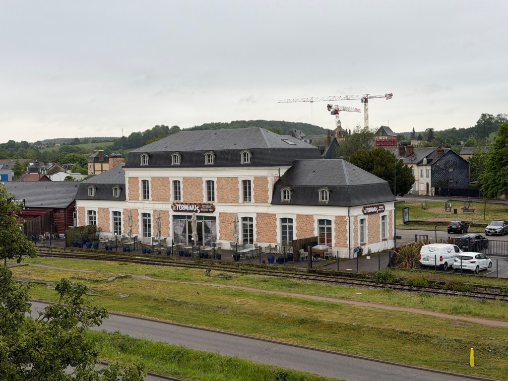
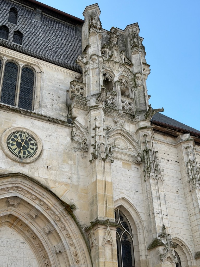
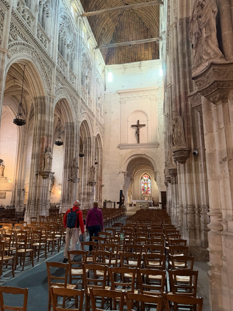
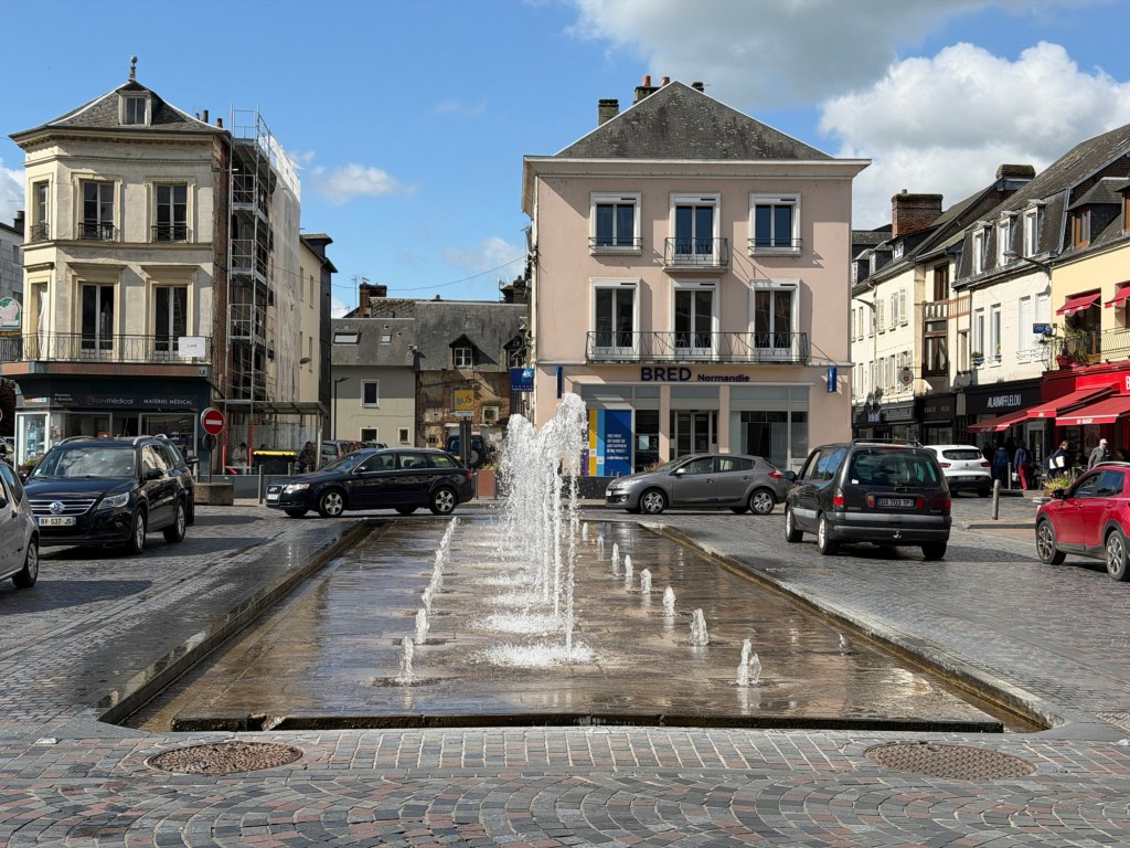
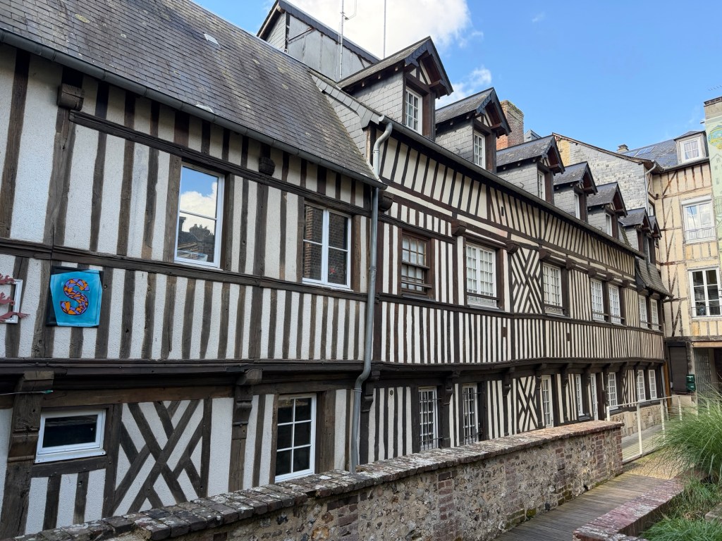
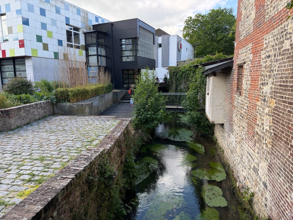
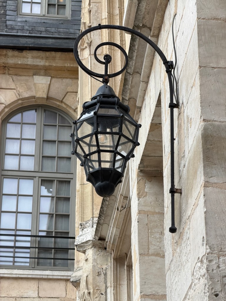
The place we sleptDinner first night in an old train stationThe church behind some market stallsChurch adjacent to outdoor market Inside the church Fountain near marketOutdoor marketKnown as the Venice of Normandy, there are many canals fed by the Risle River.Scenes around Pont-Audemer
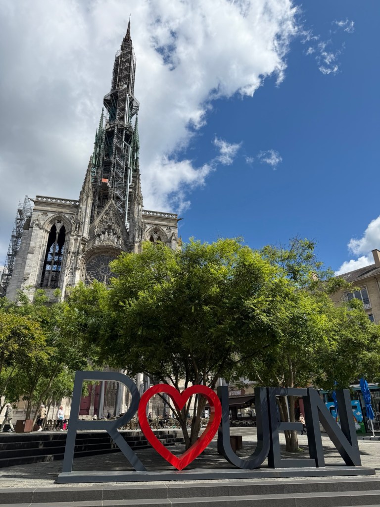
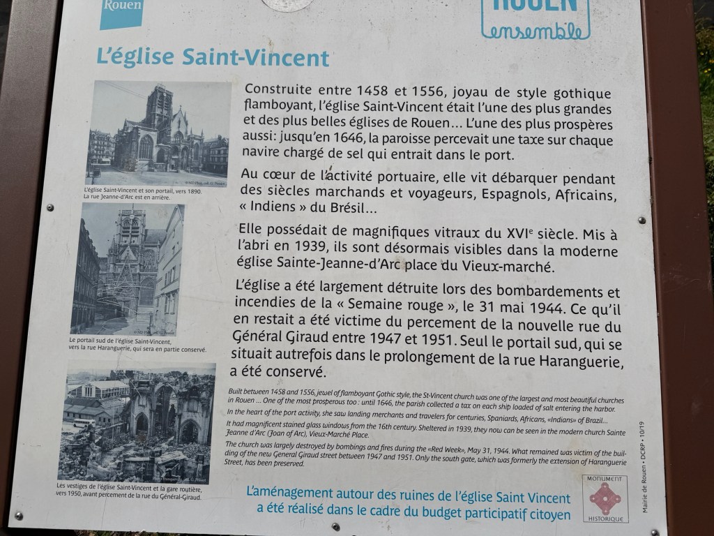
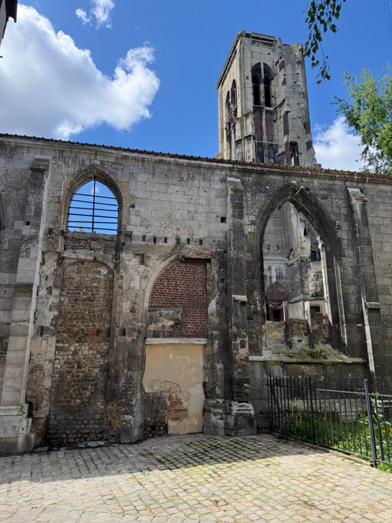
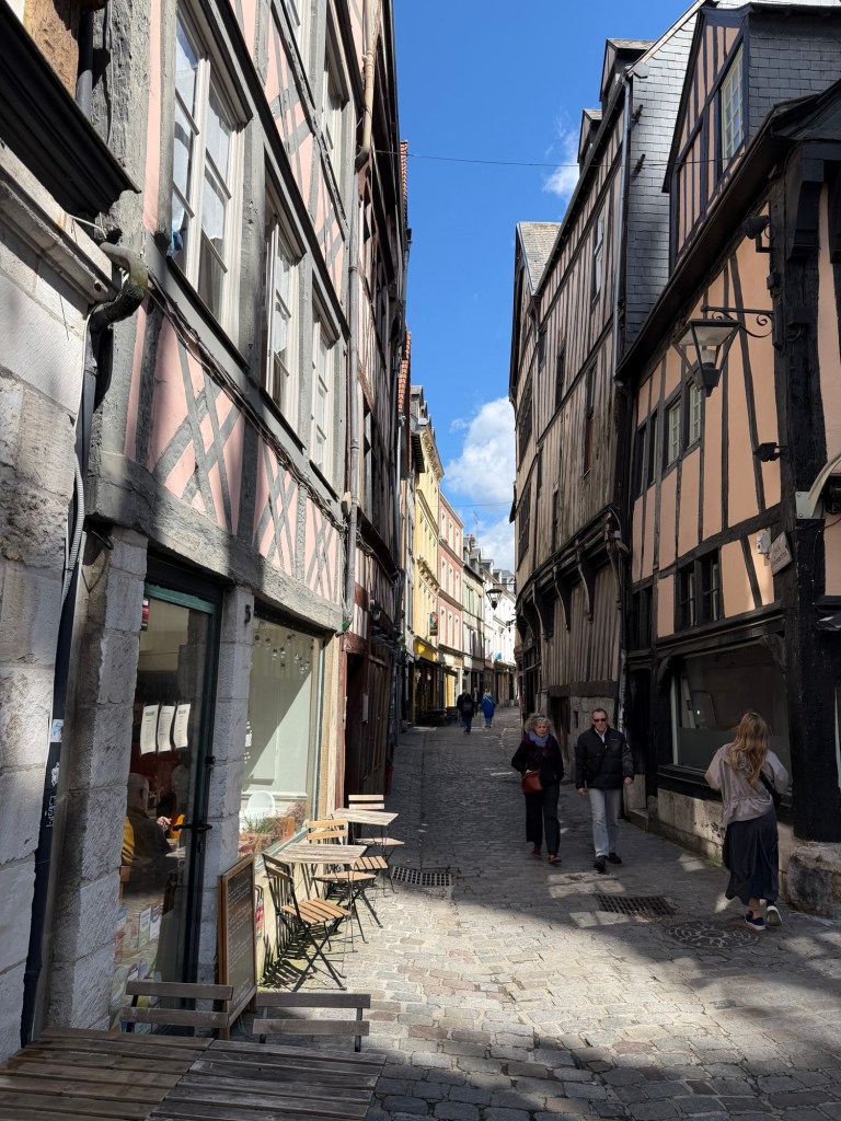
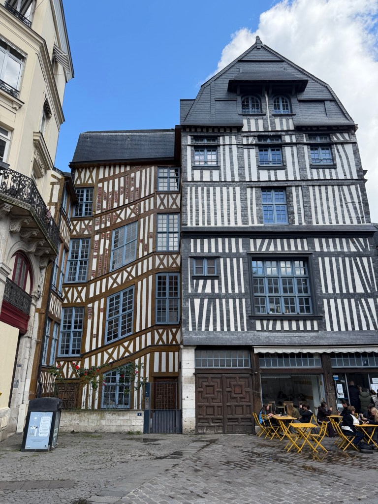
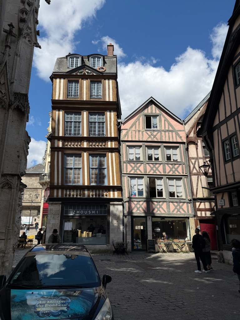
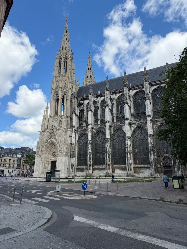
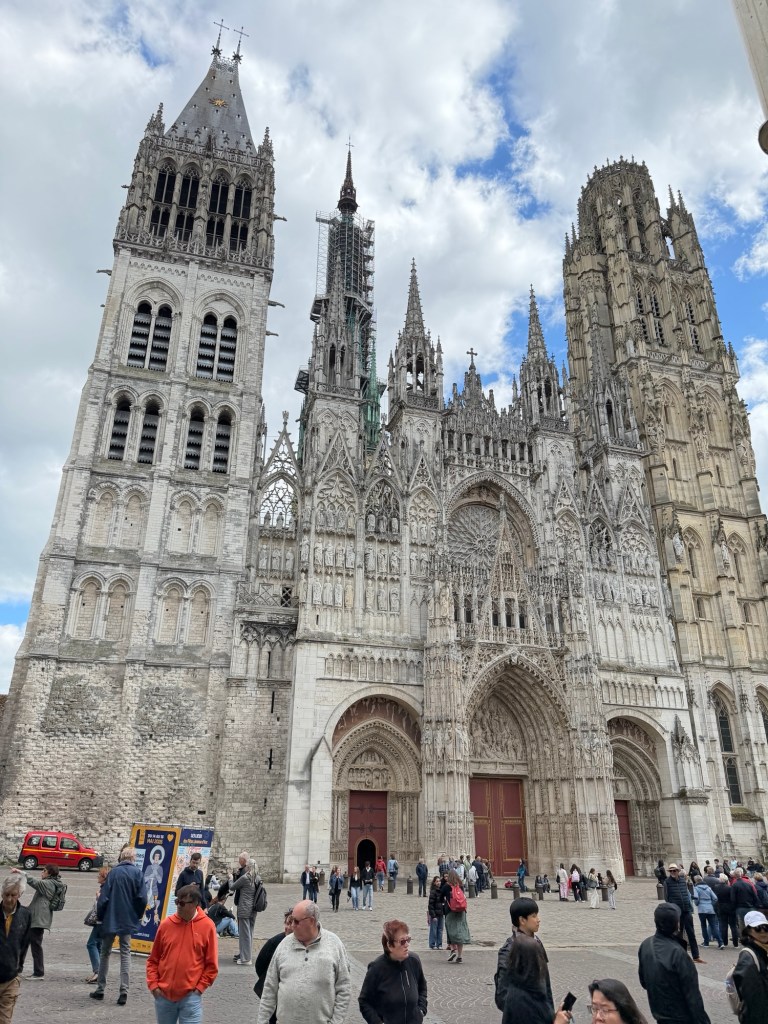
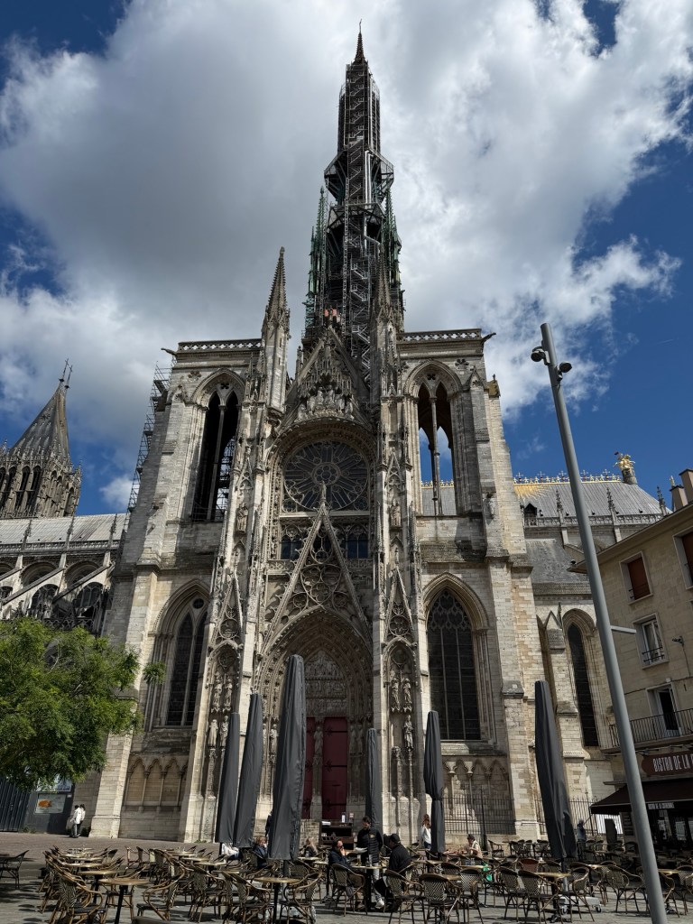
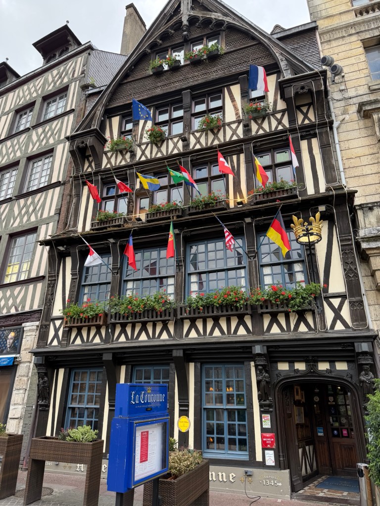
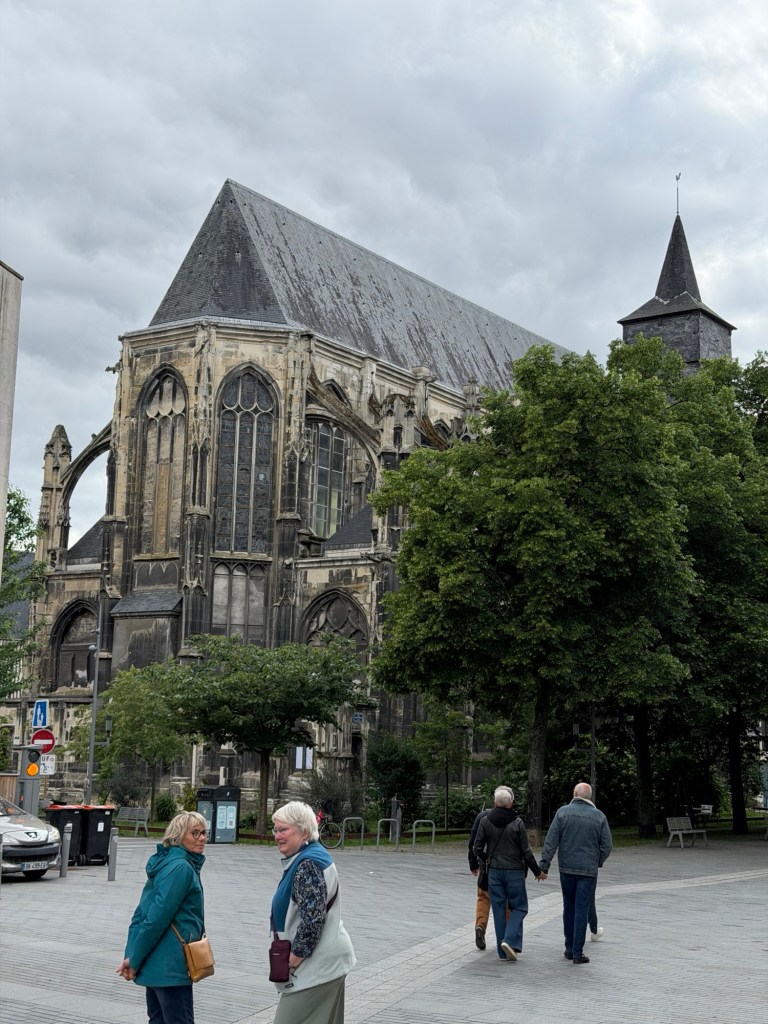
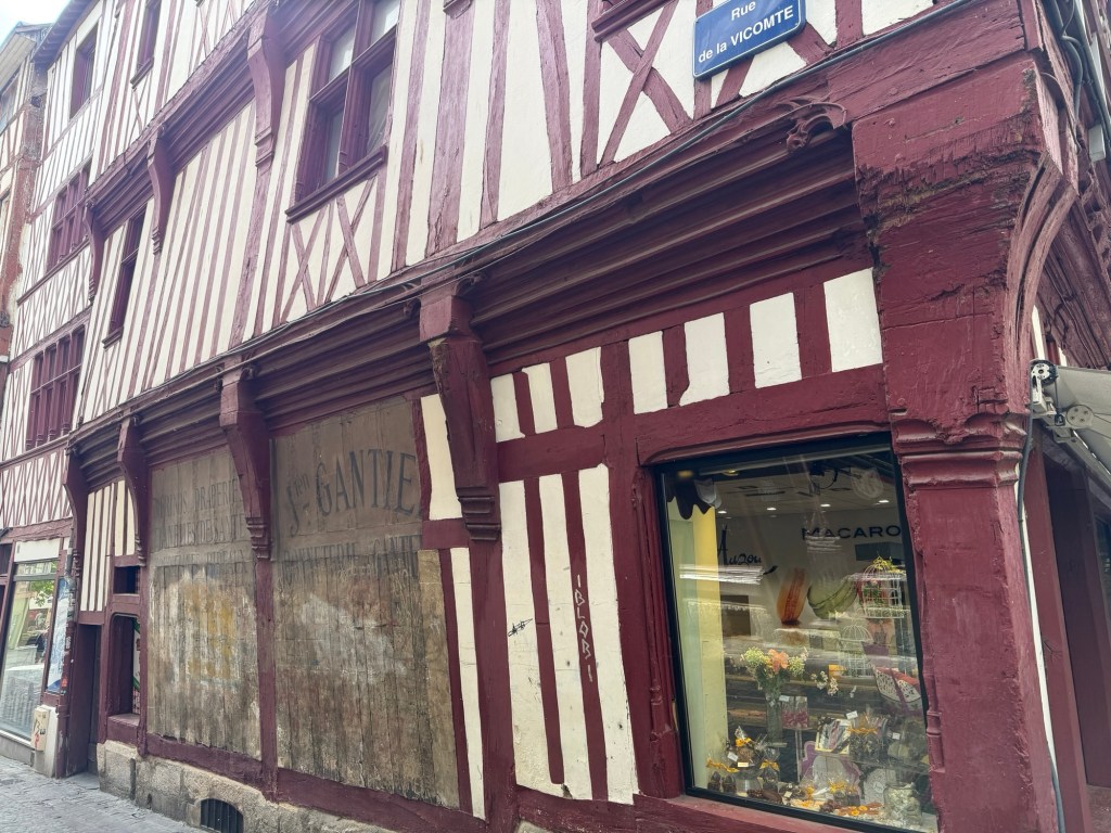
Rouen is famous for where Joan of Arc was martyred and is full of churches. The architecture of houses and shops features many half-timbered buildings.
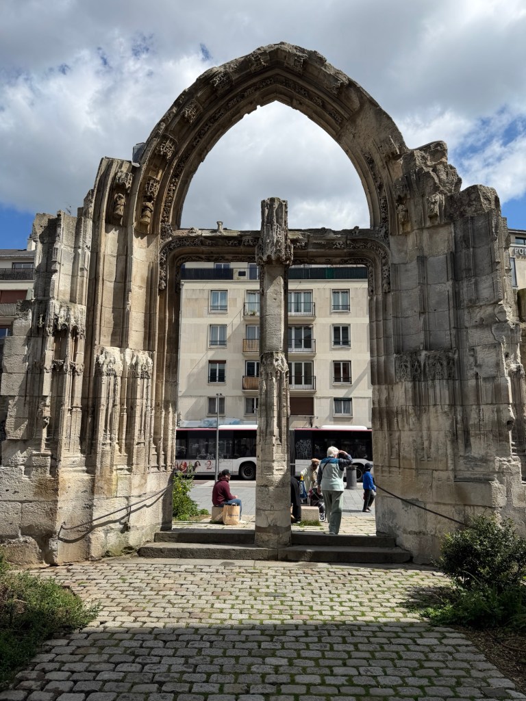
Town sign with Notre Dame Cathedral behind. Ruins of large former church in Rouen
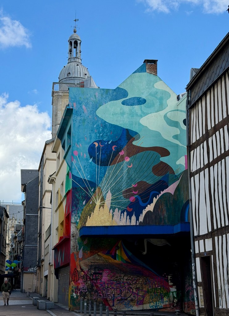
Modern art was interspersed with old buildings. Many of the buildings in Rouen were tipping, the walls not vertical, which is emphasized by the wood planks on the walls. We kept wondering how they stayed up.
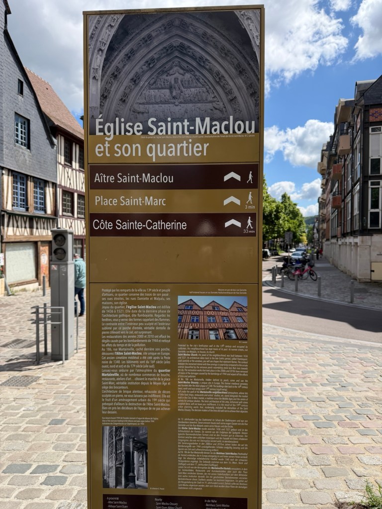
St. Maclou church
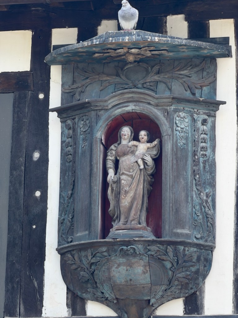
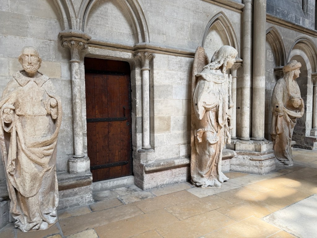
We wandered narrow lanes and larger streets admiring the architecture of Normandy in Rouen.
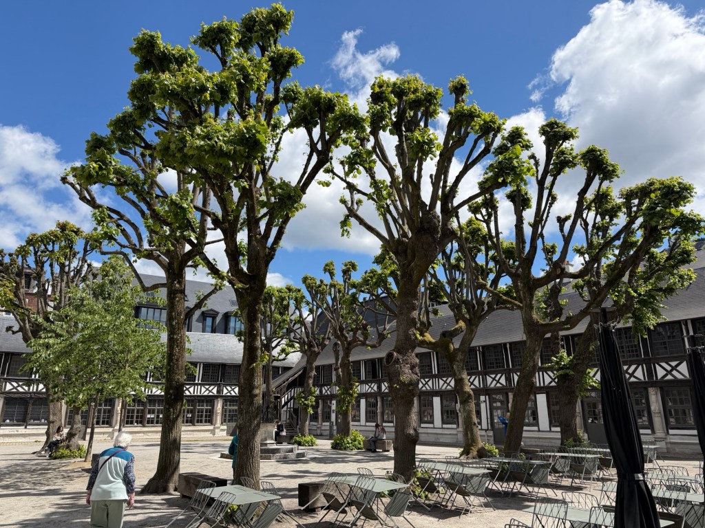
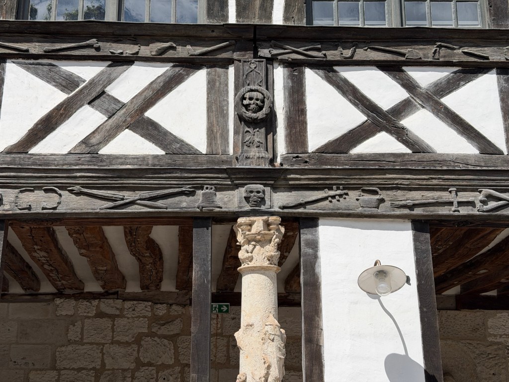
Aitre St MaclouWood sculptures about death: skull, undertaker’s tools etc.
Aitre St Maclou covers a mass grave from the black plague era in the 1500s when more than half the population died. Nearby is an ossuary. We did not stay long.
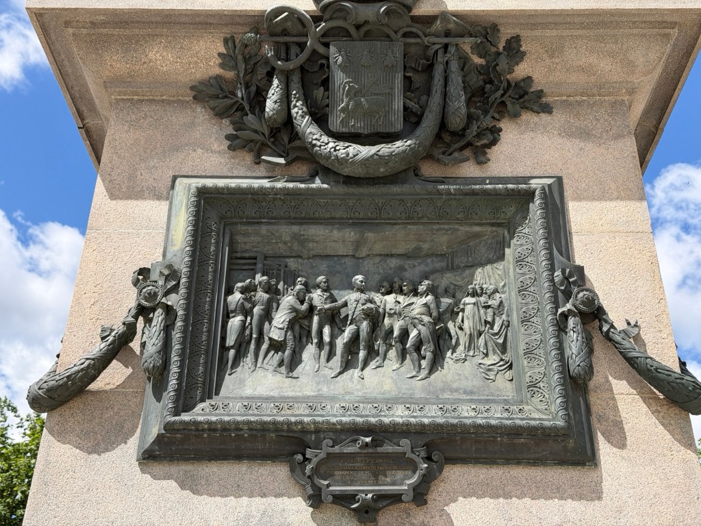
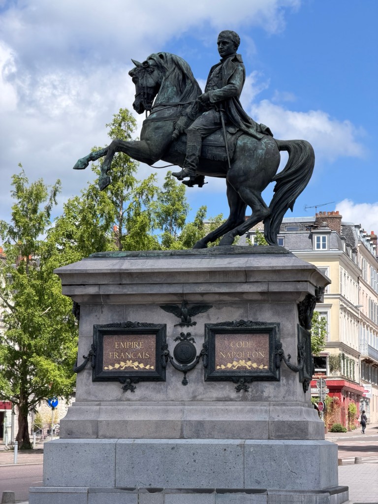
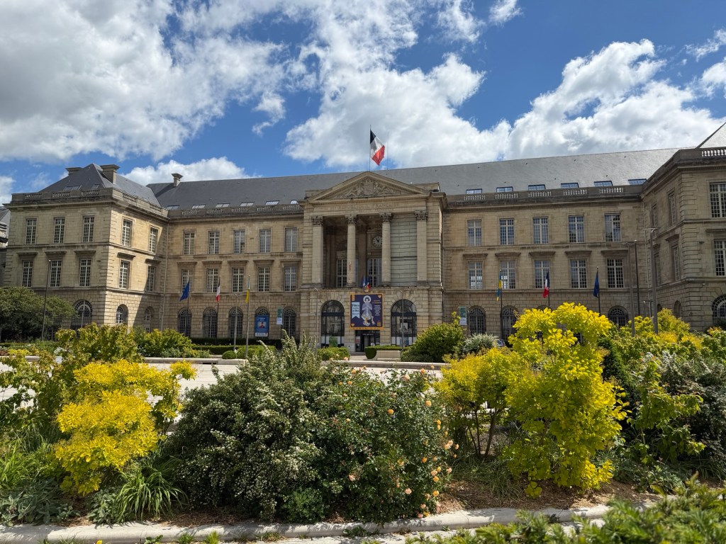
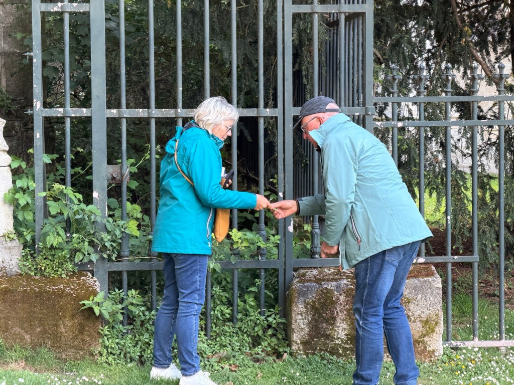
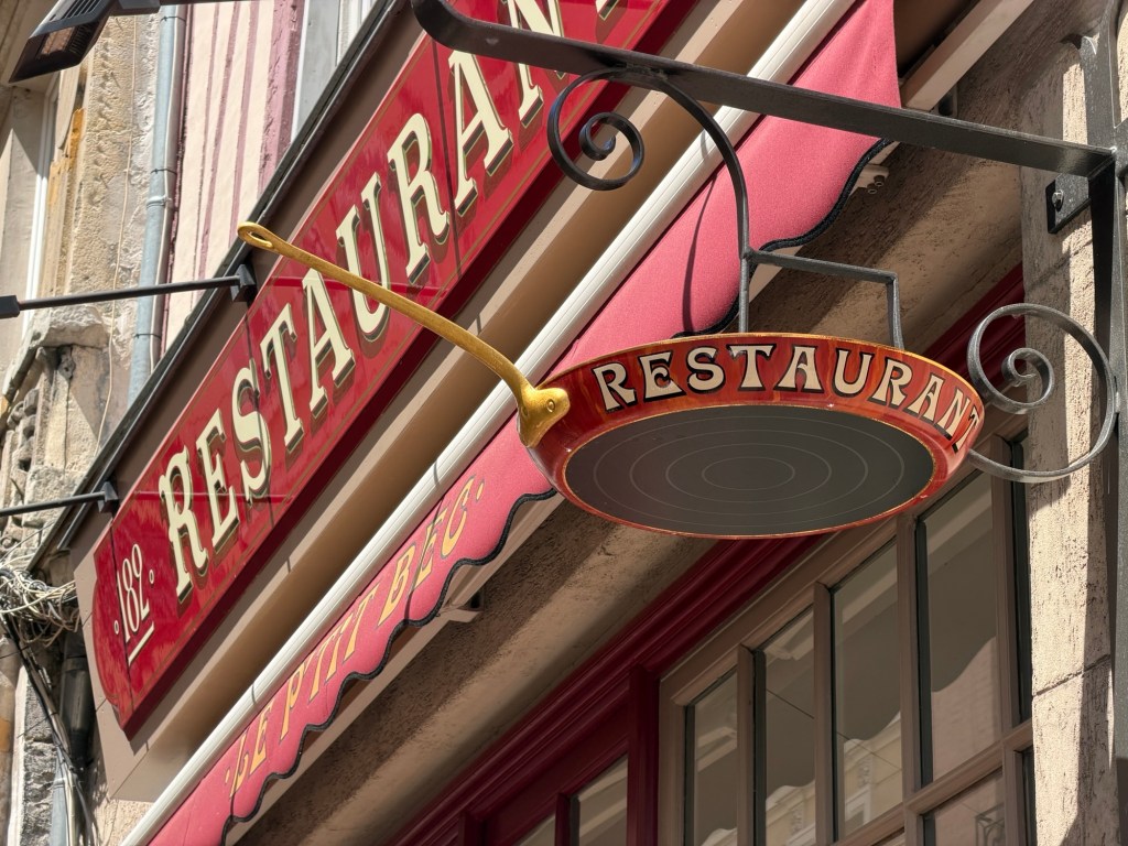
Meeting to establish the Napoleonic codeNapoleonHotel de Ville (city hall)This church with flying buttresses, St Ouen’s was closed. Marc and Joëlle finding a GeocachePetit Bec restaurant was delicious!
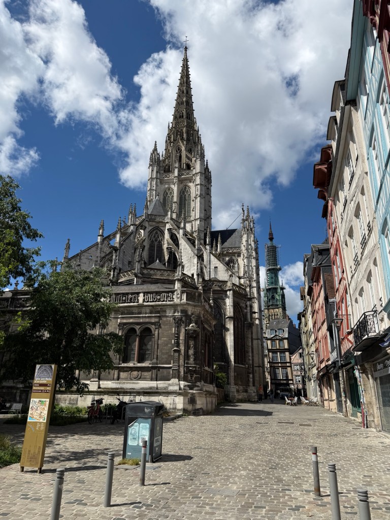
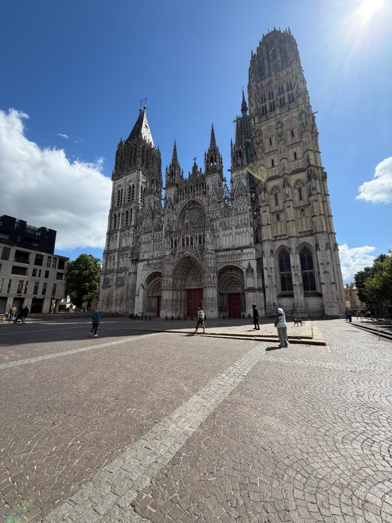
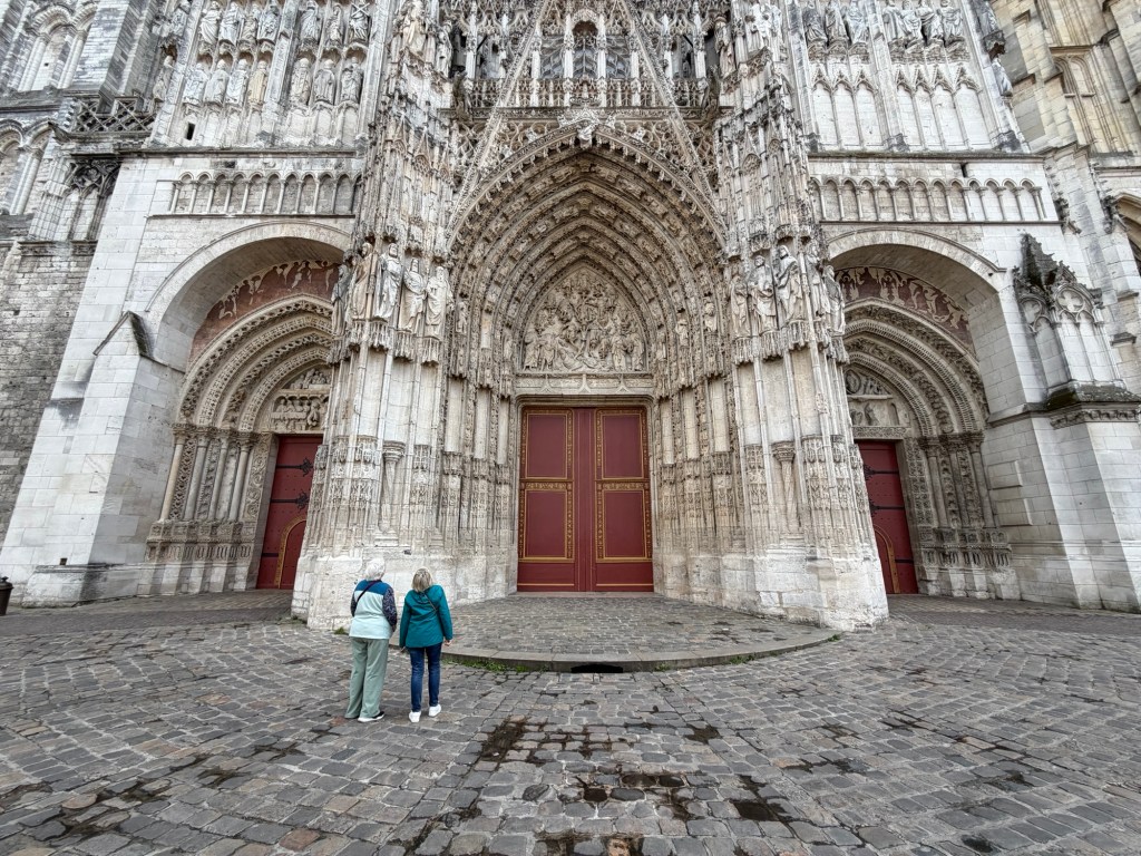
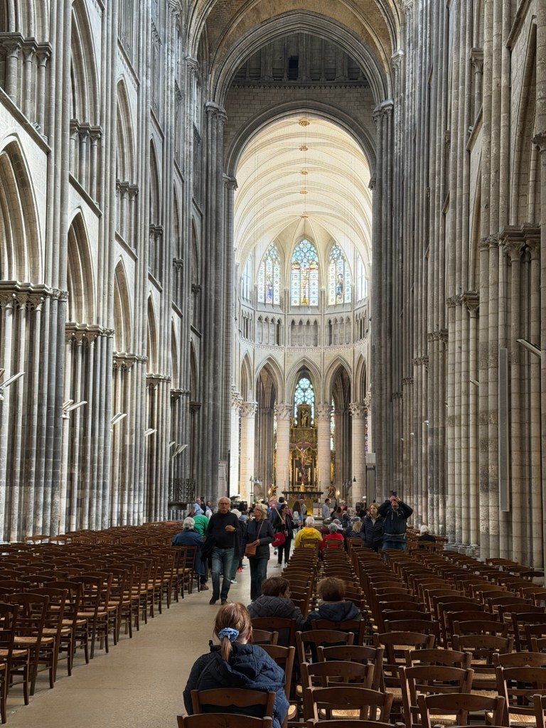
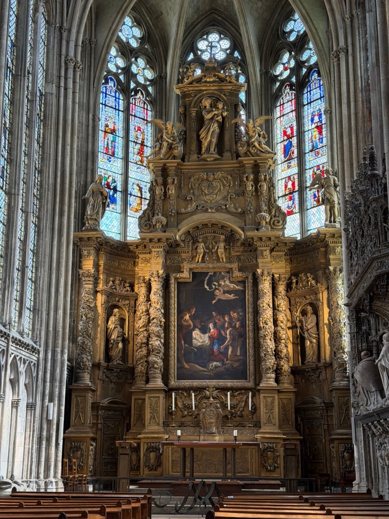
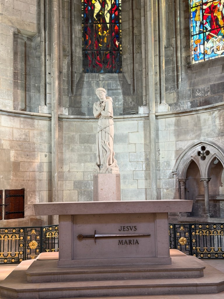
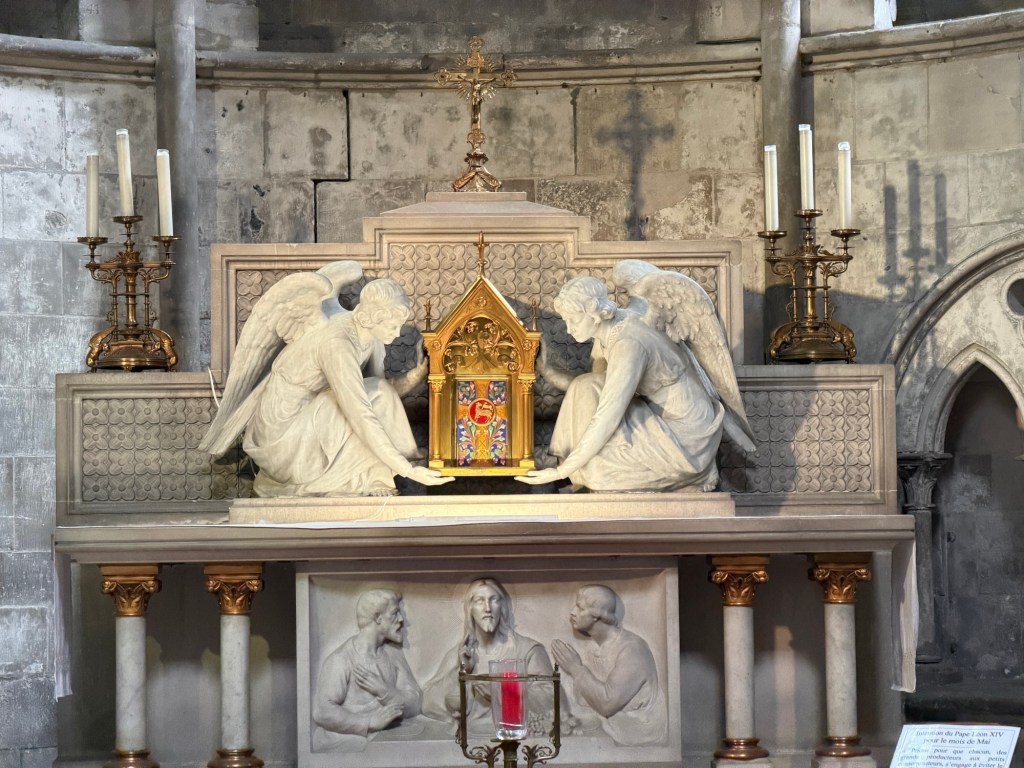
We went back to Notre Dame because it opened after lunch.
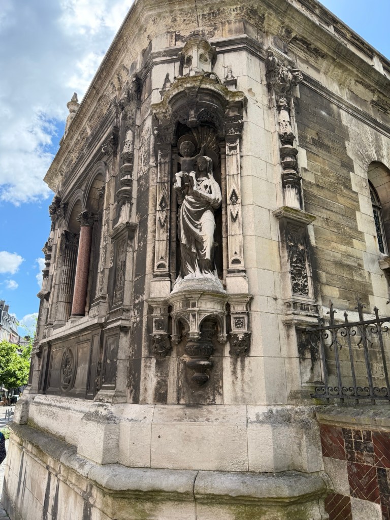
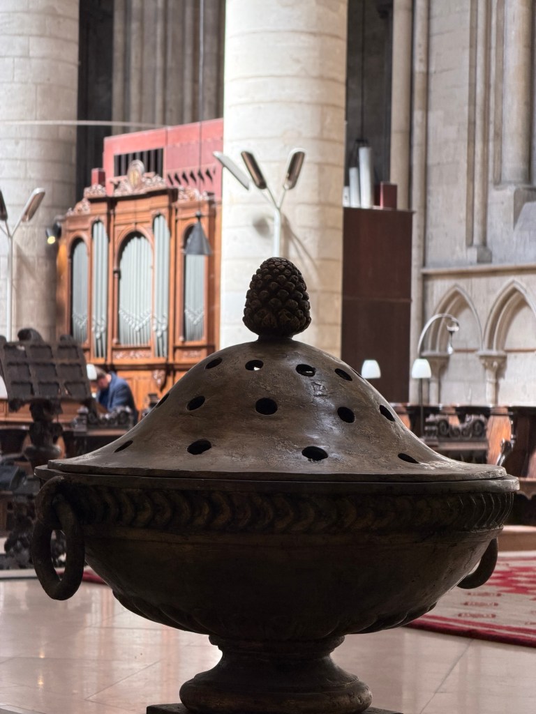
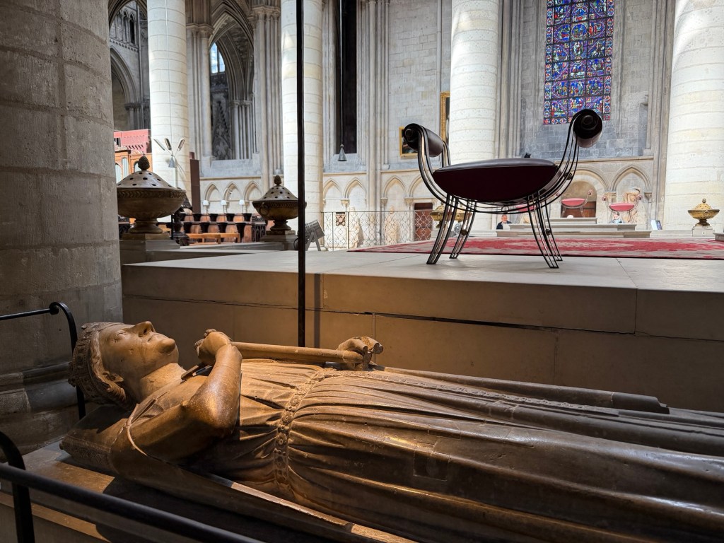
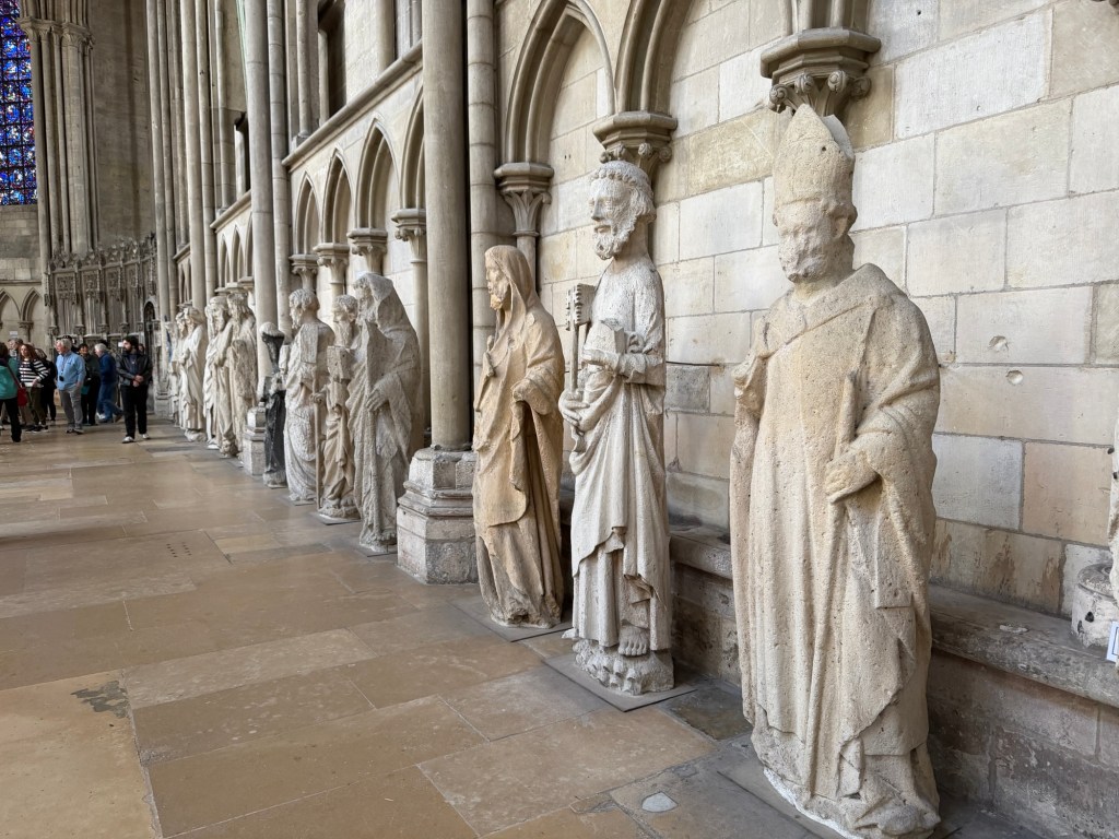
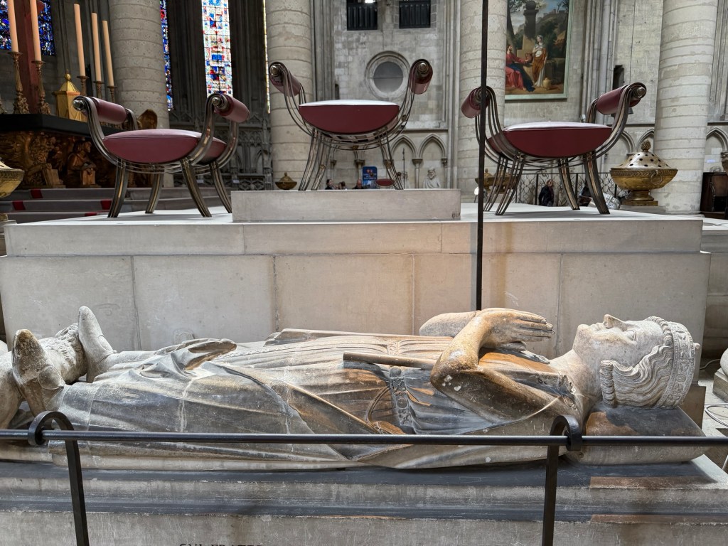
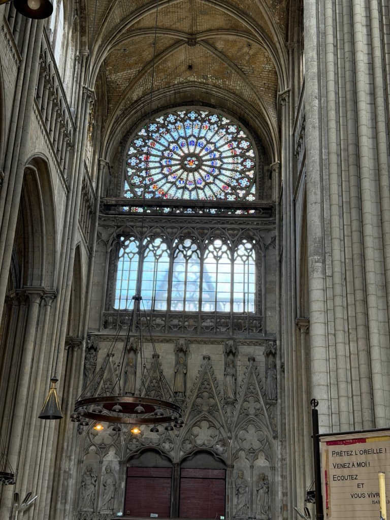
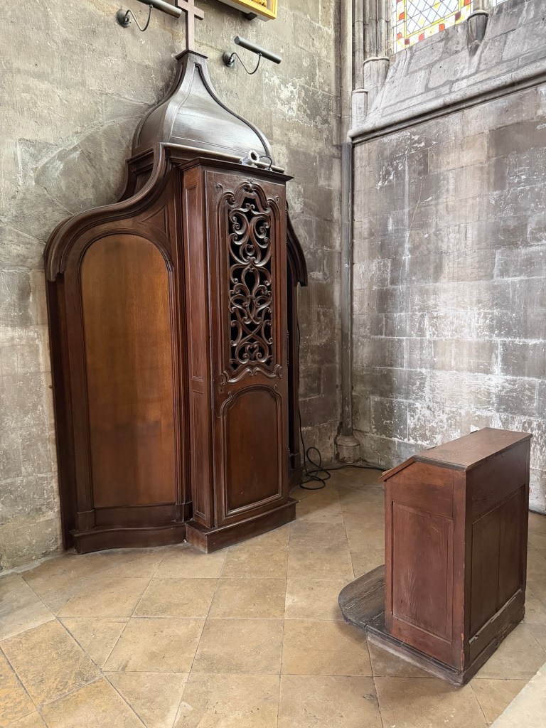
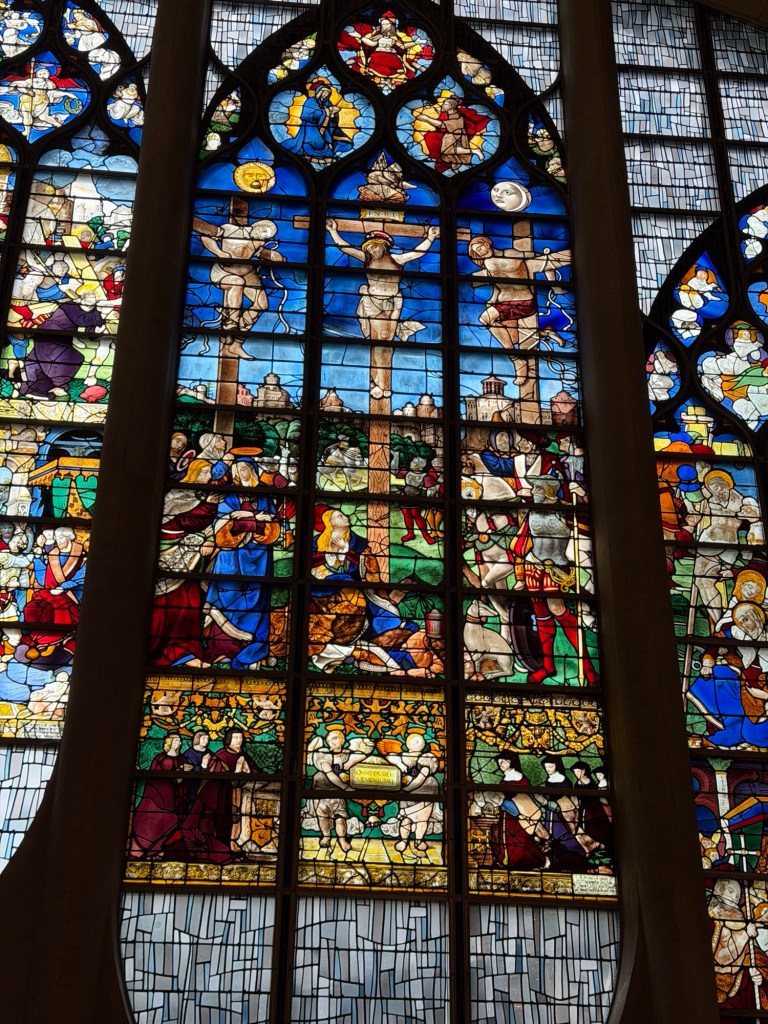
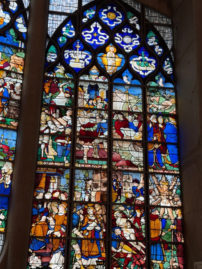
Notre-Dame Cathedral, a cousin to the more famous one in Paris. Looking into the naveMain alterIncense burnerStatues inside Notre-Dame were once outside, crypts include the first Duke of Normandy and a King Richard the Lionheart.Rose windowThere are many confessionalsJoan of Arc chapelChapel of Eucharist
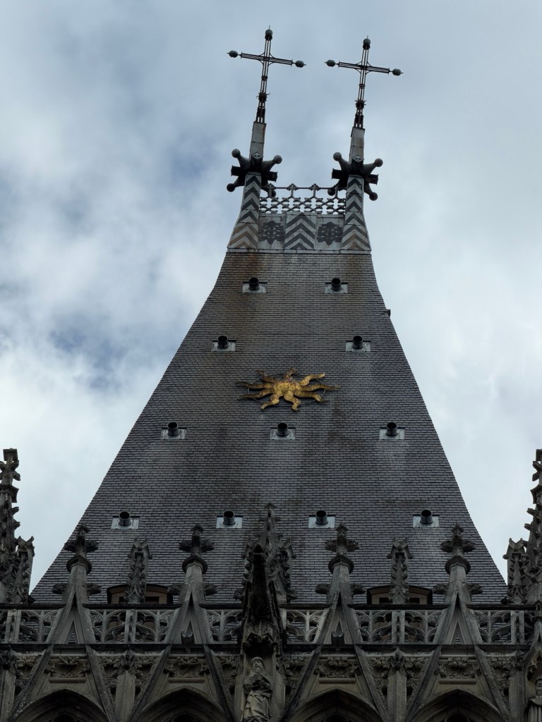
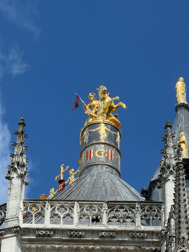
Talented local choir, rehearsingView from a sideJoan of Arc on top of Notre-Dame
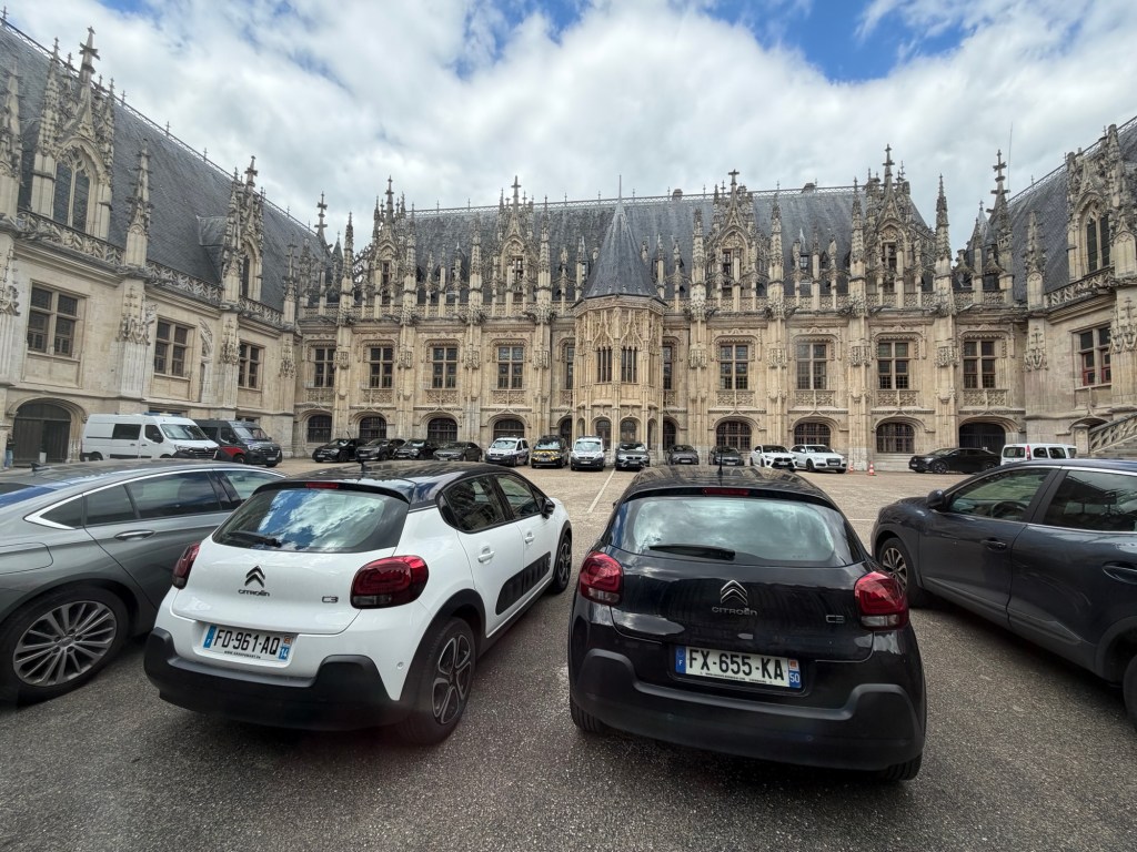
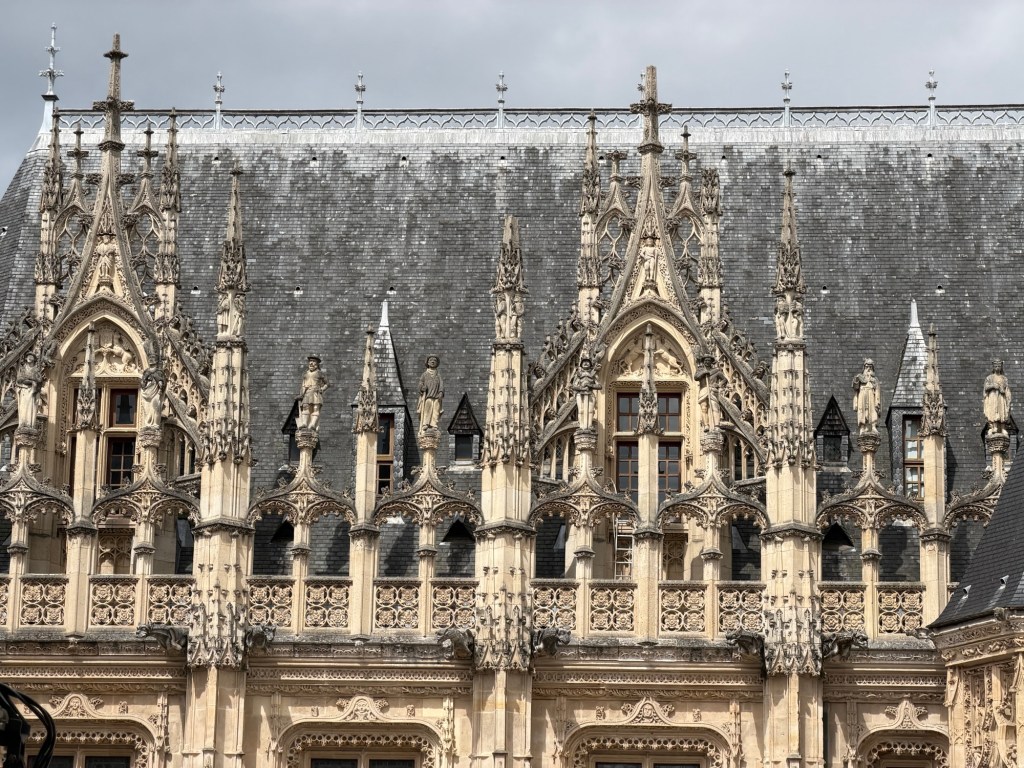
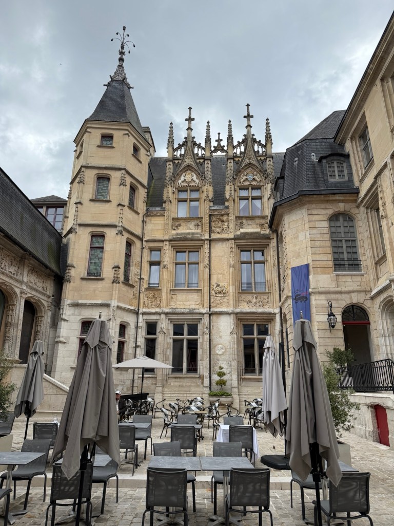
Near the cathedral is the Palace of Justice.
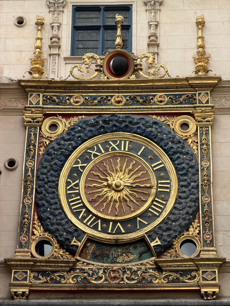
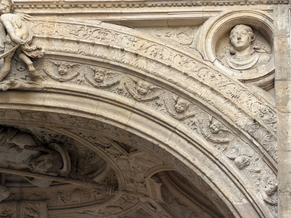
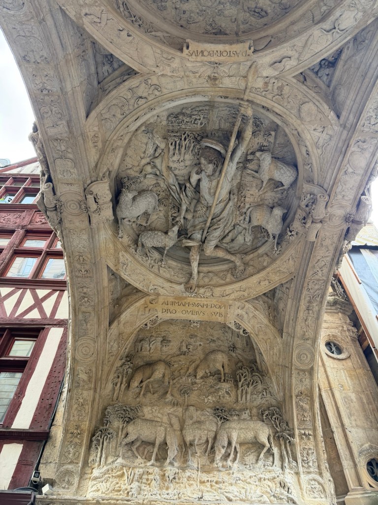
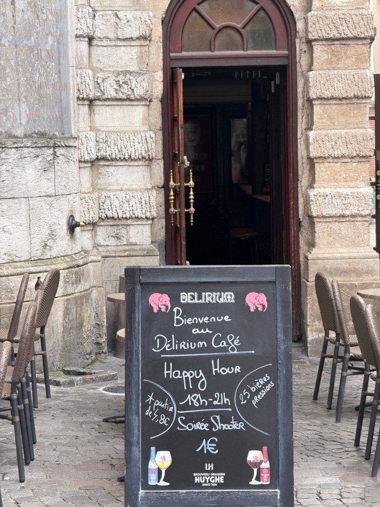
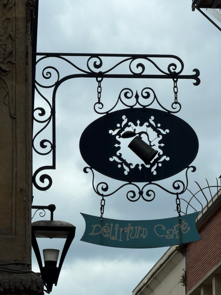
Great Clock in Rouen, built in 1528One baby angel is upside down because the artist never got paid.Looking up under the arch, seeing the Good ShepherdBelgian beer makes you see pink elephants!Delirium beer’s emblem
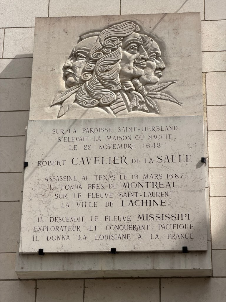
We learned a name that should have been part of US history, the person who originally claimed the lower Mississippi River and surrounding areas for France. This later changed hands in the Louisiana Purchase.
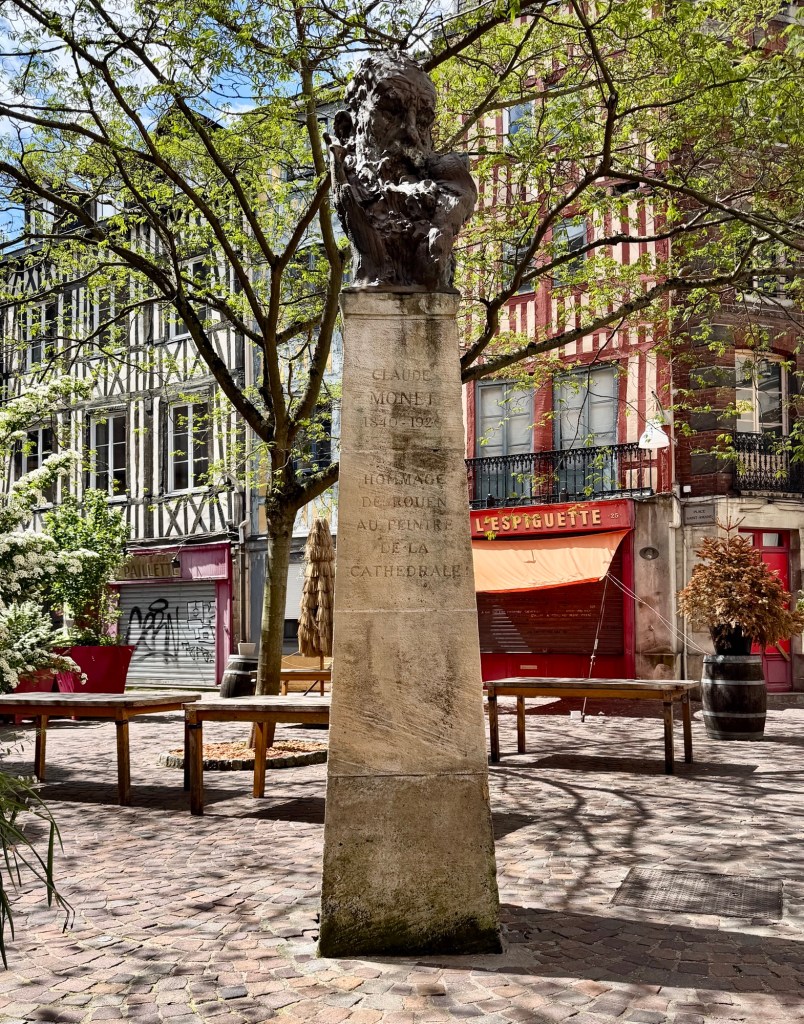
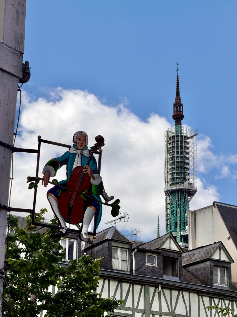
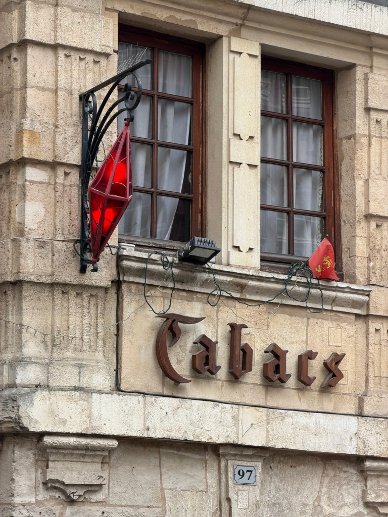
Claude Monet painted many scenes near here. Robert Cavelier, explorer of Mississippi River Tobacco is sold in stores displaying this red diamond sign.Read this out loud to yourself. What does this store sell?
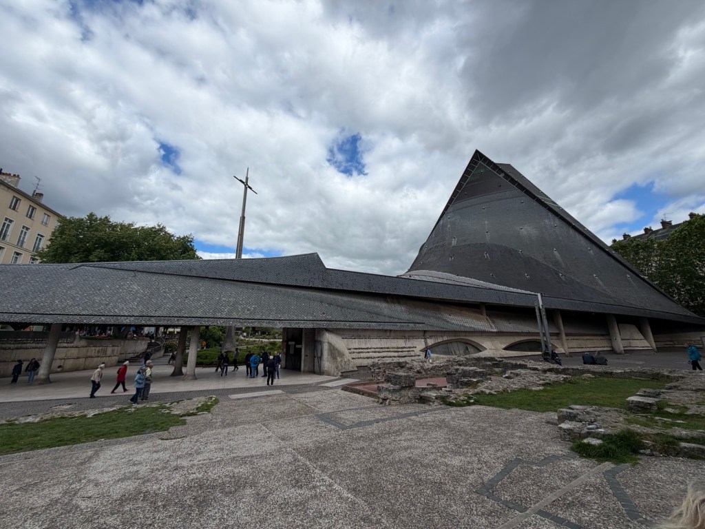
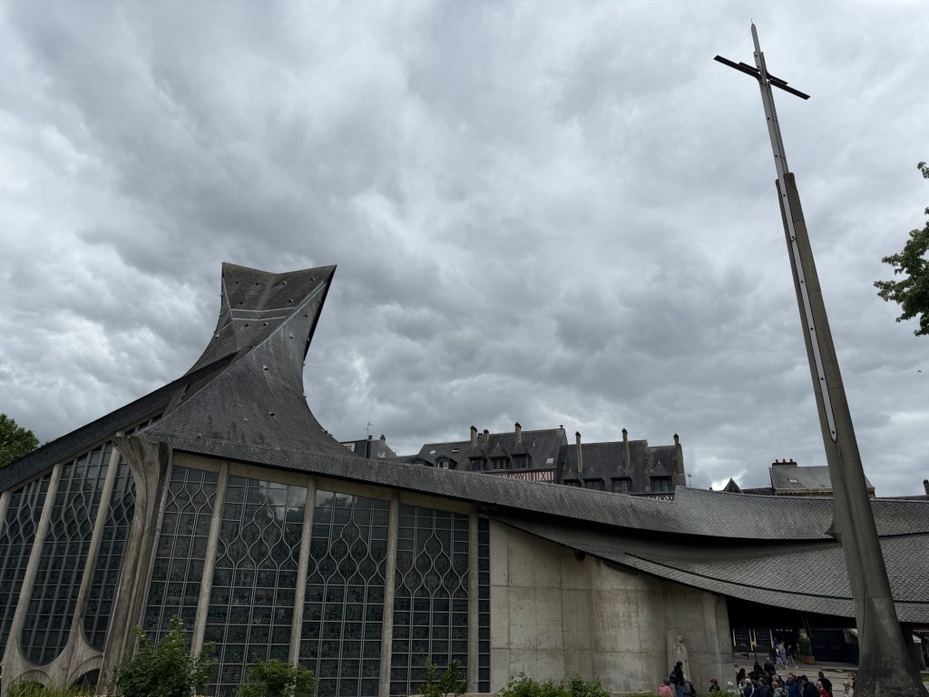
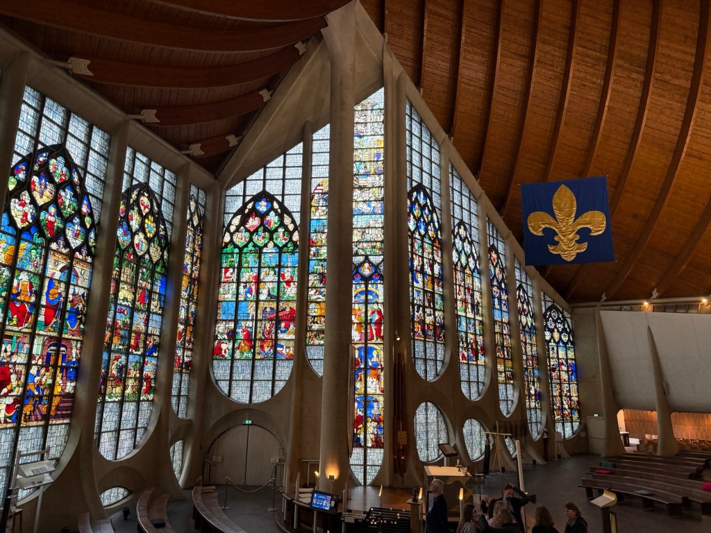
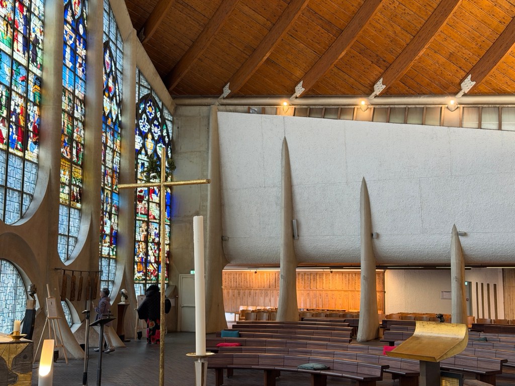
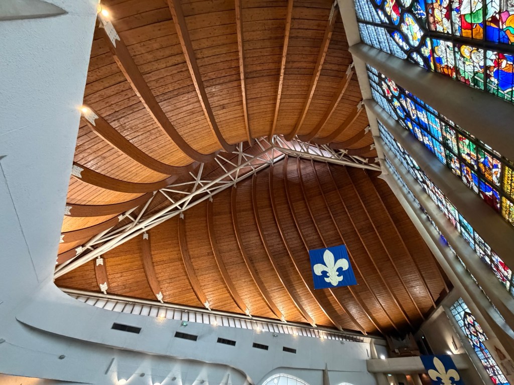
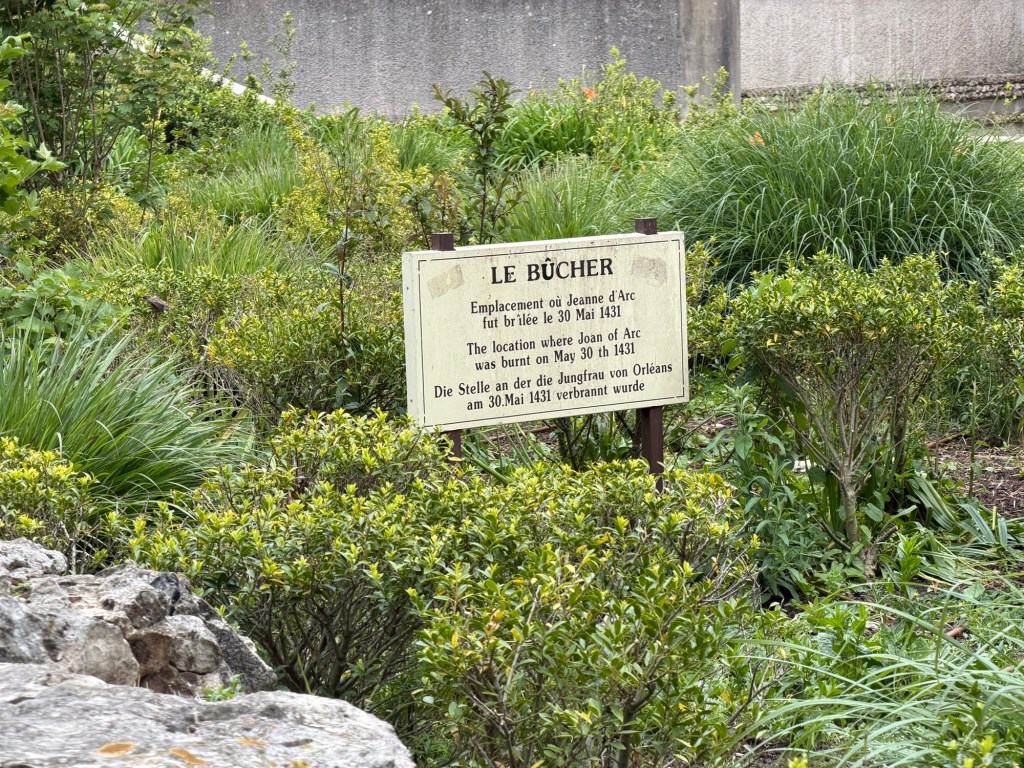
A modern chapel honoring St Joan of Arc utilizes the Scandinavian ship design for the ceilings, in an airy, uplifting space.
Chapel next to ruins of an older church Outside part of the Joan of Arc modern churchInsideSpires, perhaps representing the stake where young Joan was burned. Nautical ceiling
A bit away from the chapel are even more modern links between here and the U.S.
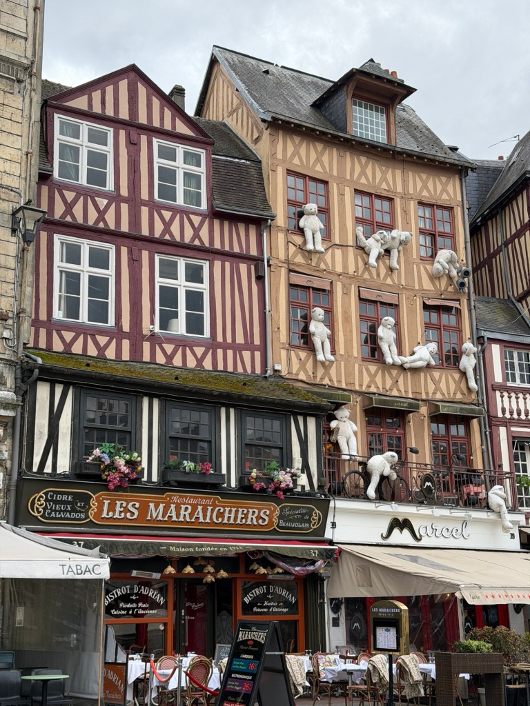
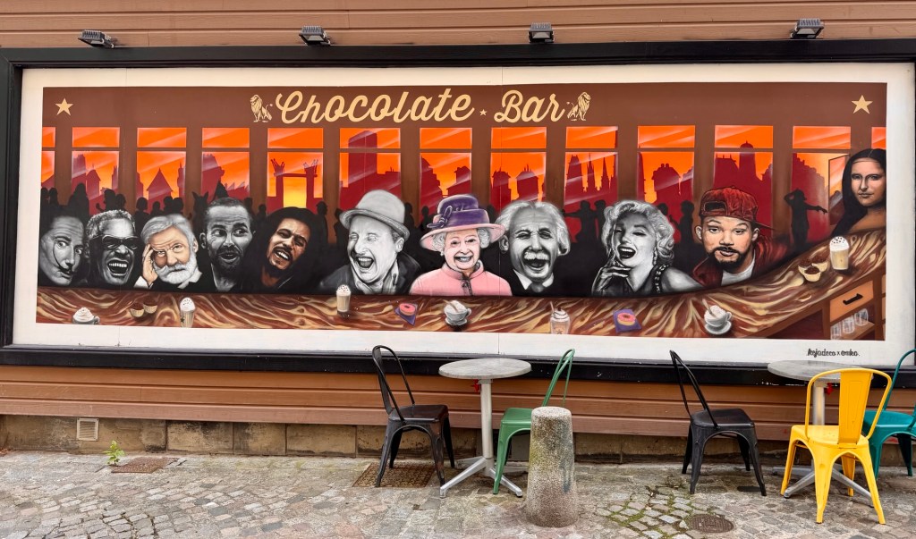
Julia Child ate her first French meal here. The rest is history. The bears climbing up these walls are reminiscent of the Blue Bear in Denver. In France, what would be called Protestant Churches are temples. This is Temple St Eloi. Hotel courtyard Famous faces at a chocolate shopBulging buildings
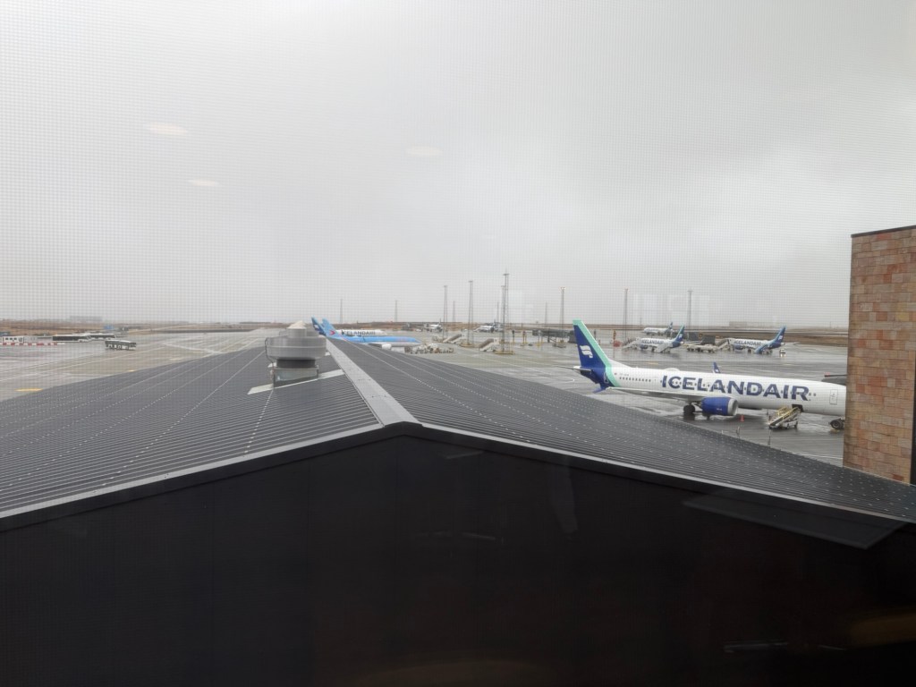
From one rainy city to another, the best part of the day was toward the end when our good friends met us at Charles de Gaulle airport in Paris.
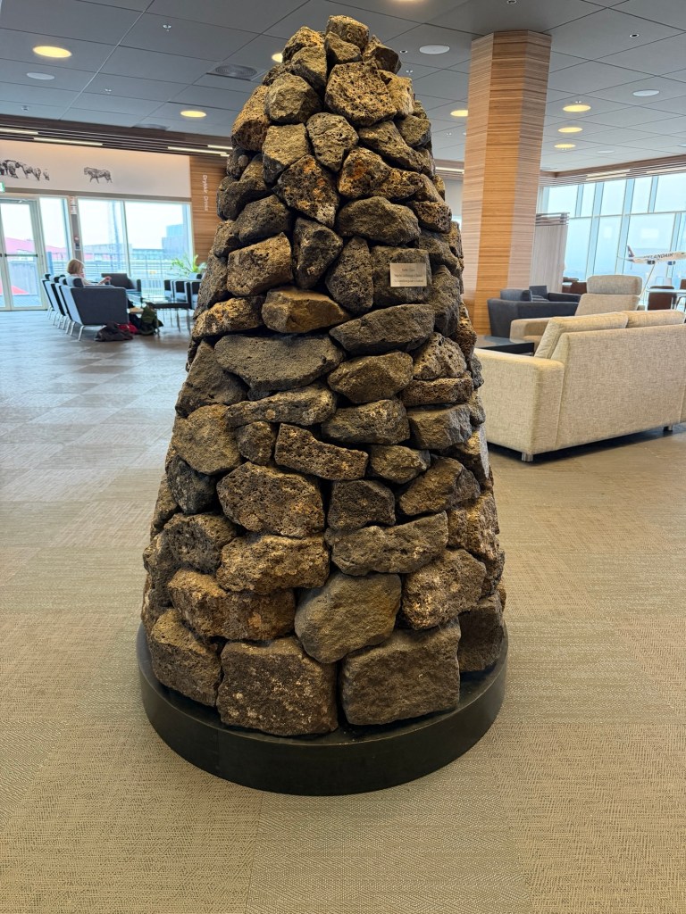
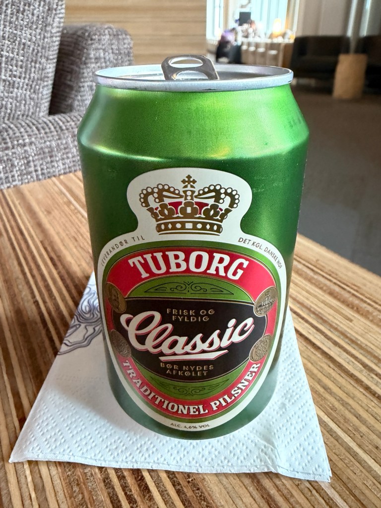
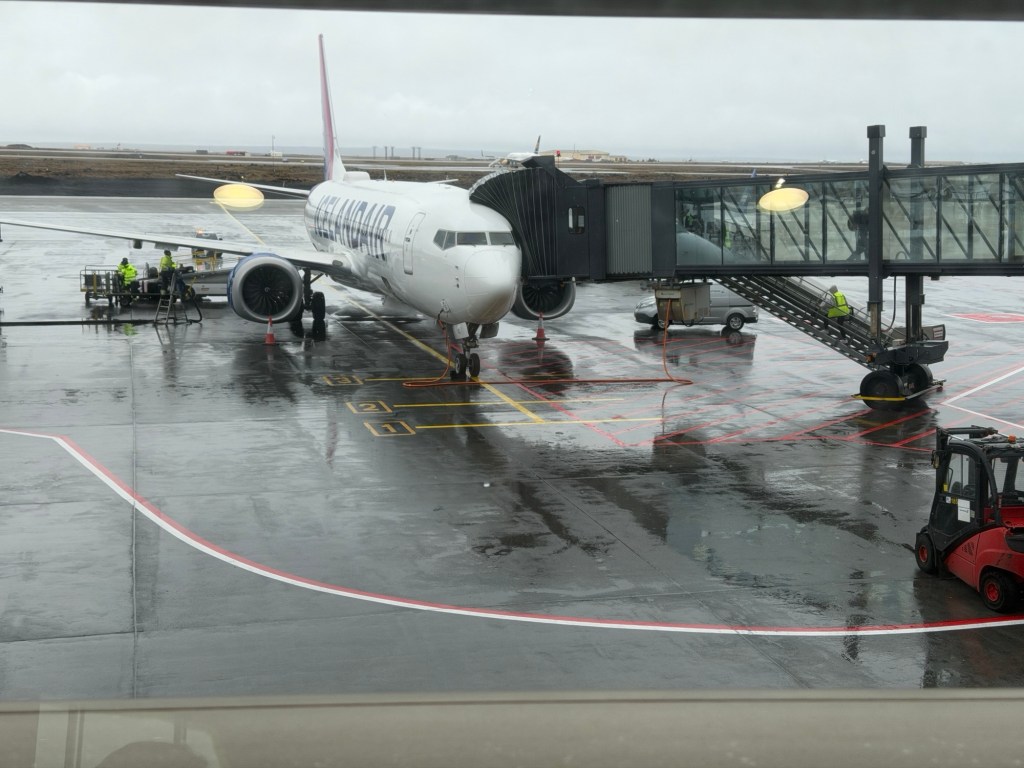
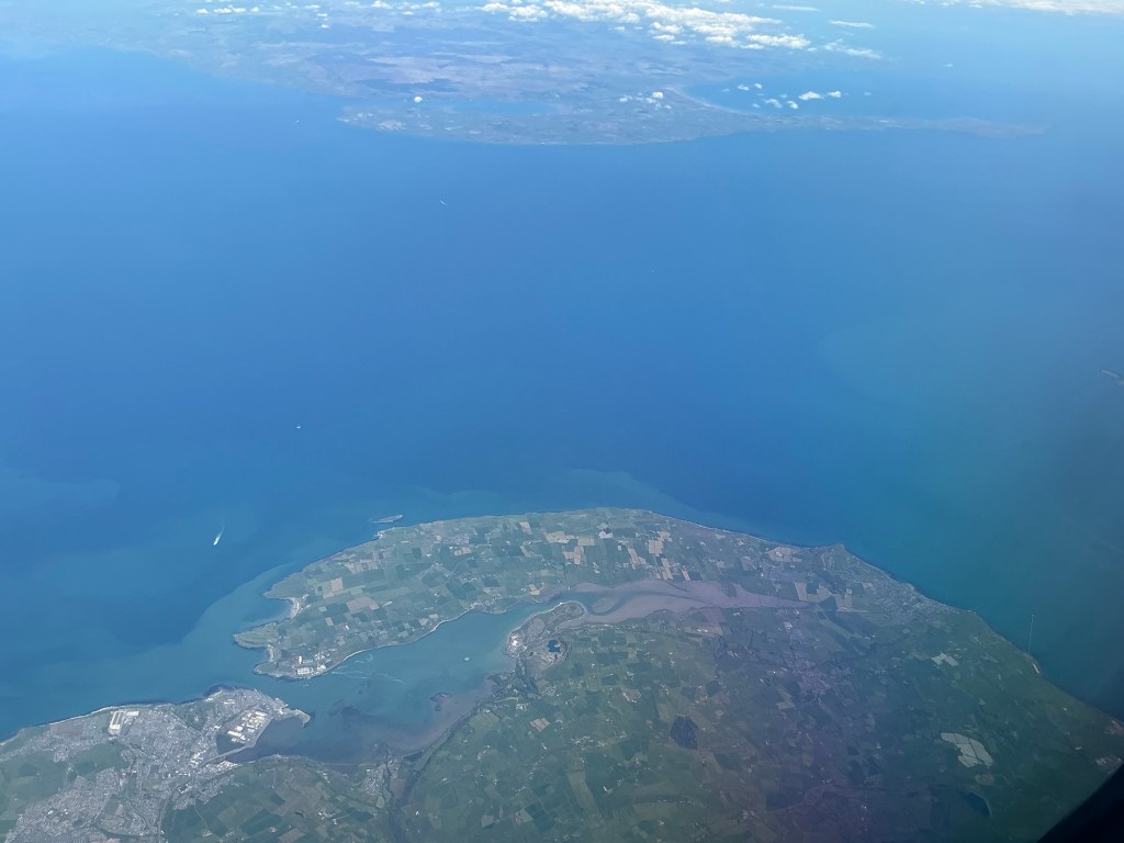
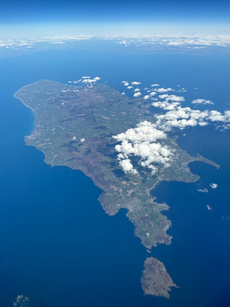
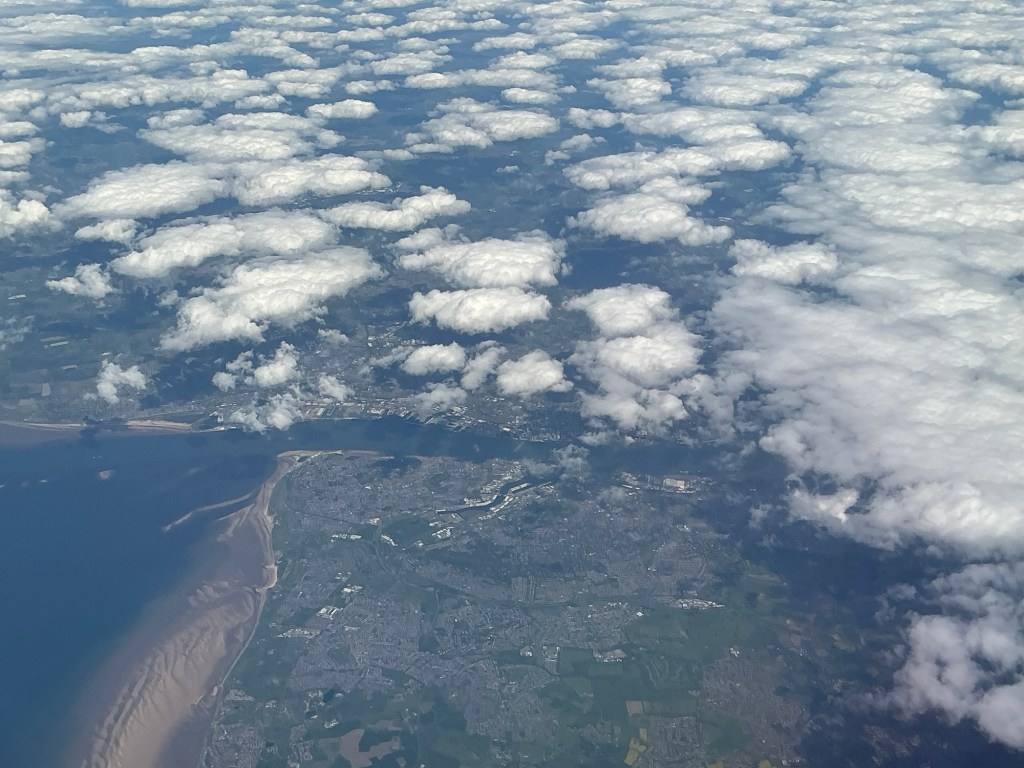
A cold, cloudy day at Keflavík airportAn ancient type of site marker displayed in the airportAn old Danish beer brand, brewed in IcelandAbout to boardIslandmagee, a peninsula near BelfastIsle of Man in the Irish SeaLiverpoolThe rest of the views were just white clouds!Yet another gin and tonic for Brian!
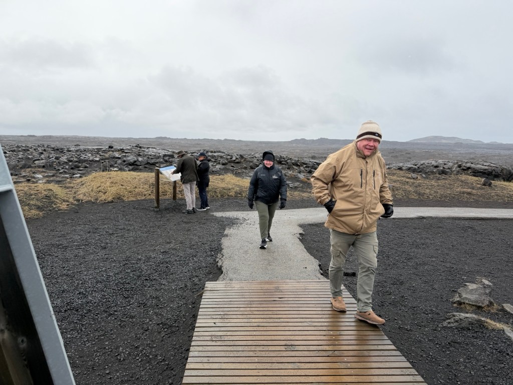
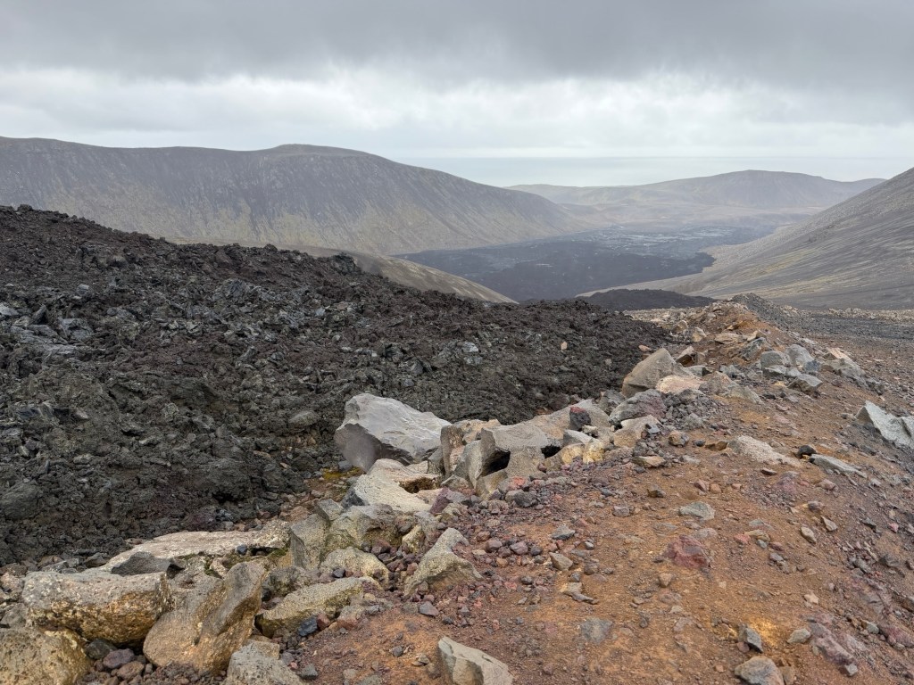
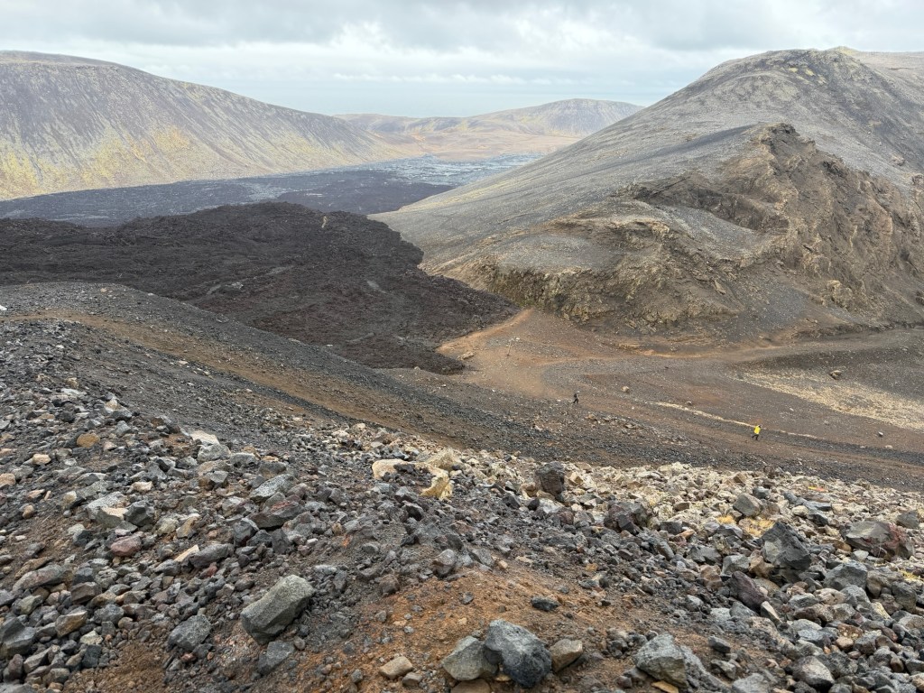
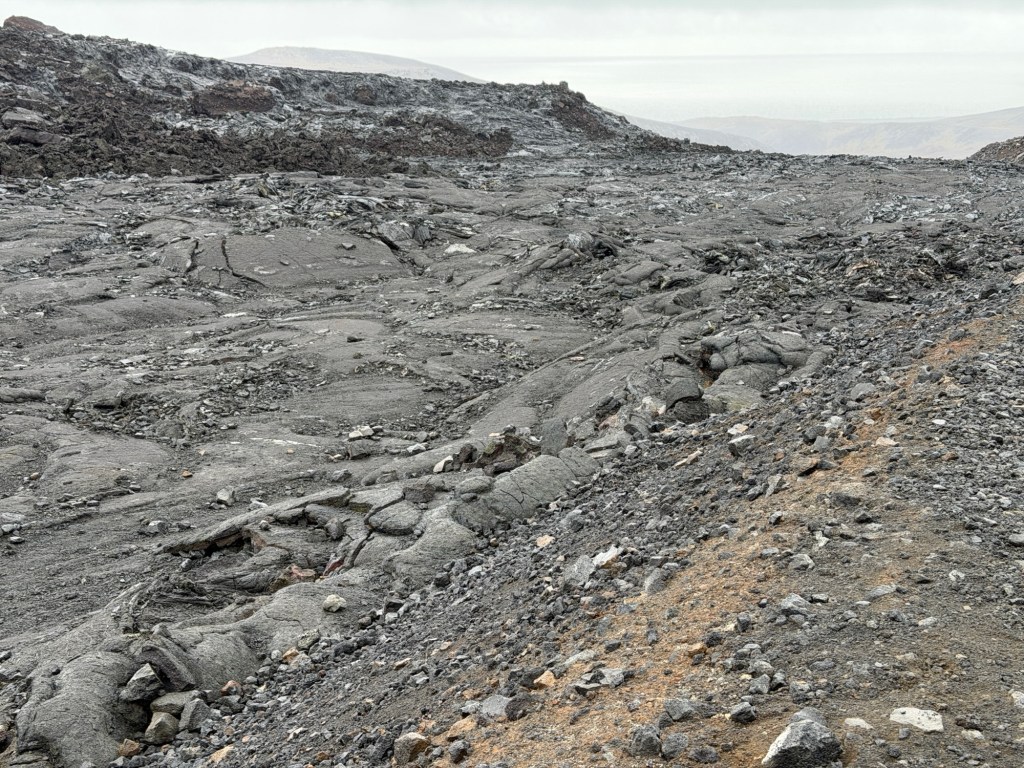
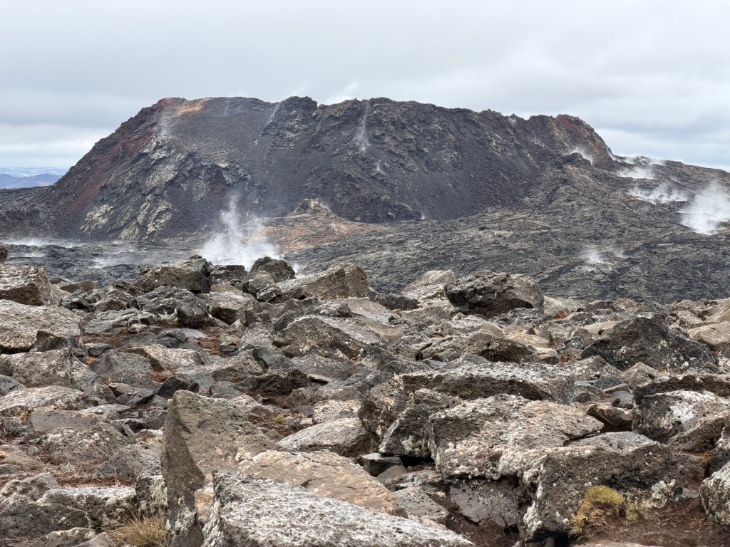
On a wet, breezy morning, we were picked up by the guide for the day, Halldor. He took us everywhere we wanted to go! The main objective was a hike to see the recent volcanic flows. The way Halldor explained the seven eruptions made me visualize a string of three beads, widely spaced, with most of the lava flowing from the beads, but a little from the strings. These new flows are evidence of a new, unique series of events, as we saw at the Geopark exhibit previously. The compositions are different from older flows in the area.
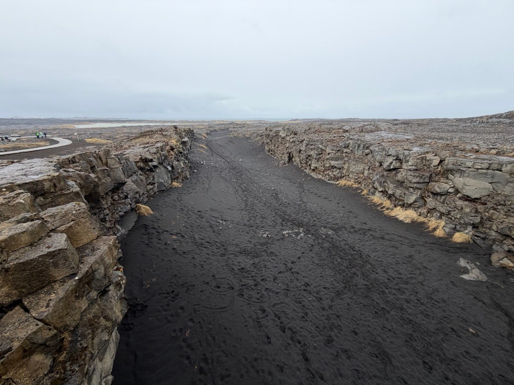
To the Bridge Between the ContinentsLooking down the rift valley, NA plate on the rightView of NA plate from European Plate
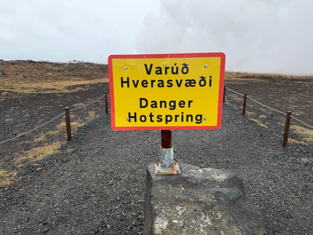
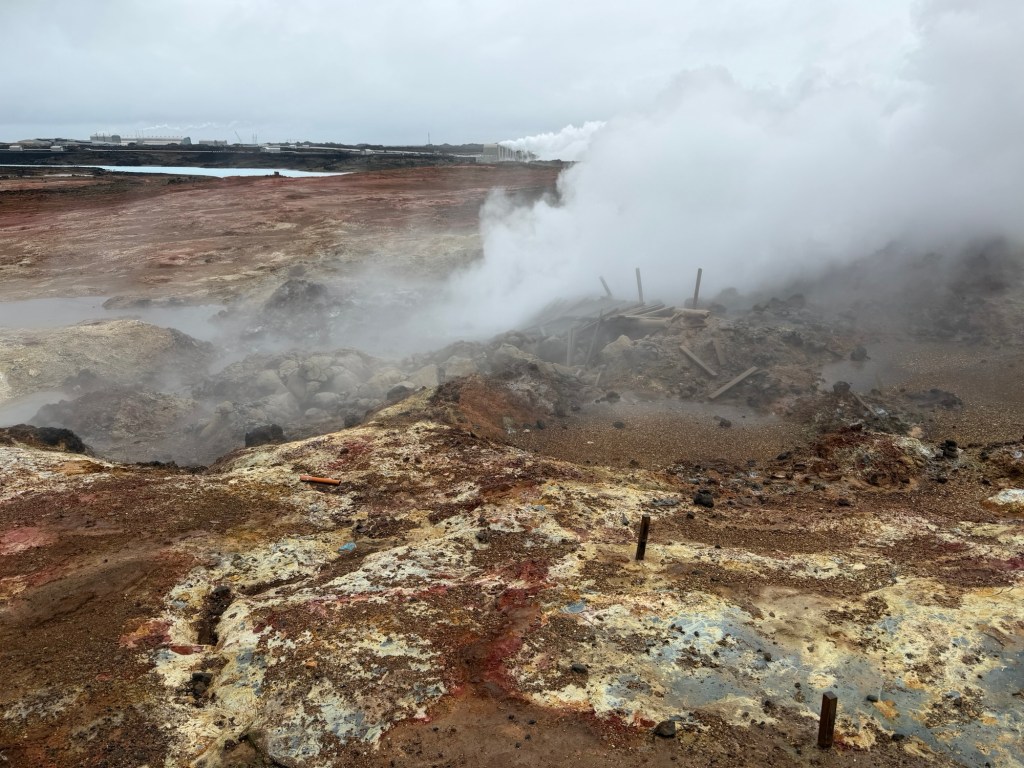
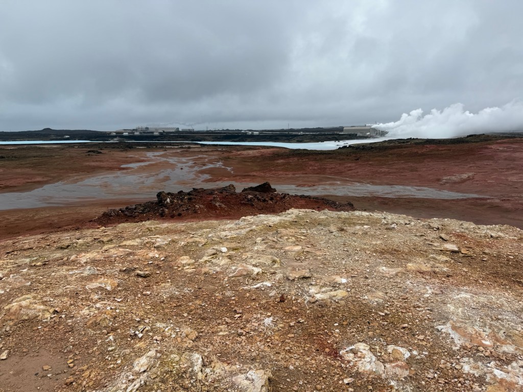
A little way further along the road were thermal features, a hot spring and fumarole.
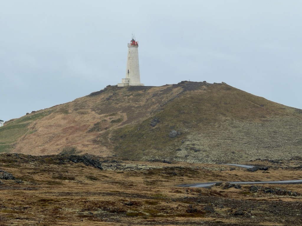
Icelandic language is difficult!Lots of alteration of the host rock by the hot waterColors show minerals deposited by the hot waterReykjanes lighthouse is the oldest in Iceland. Originally built in the late 19th century, it was destroyed by an earthquake. The current lighthouse was built in 1908.
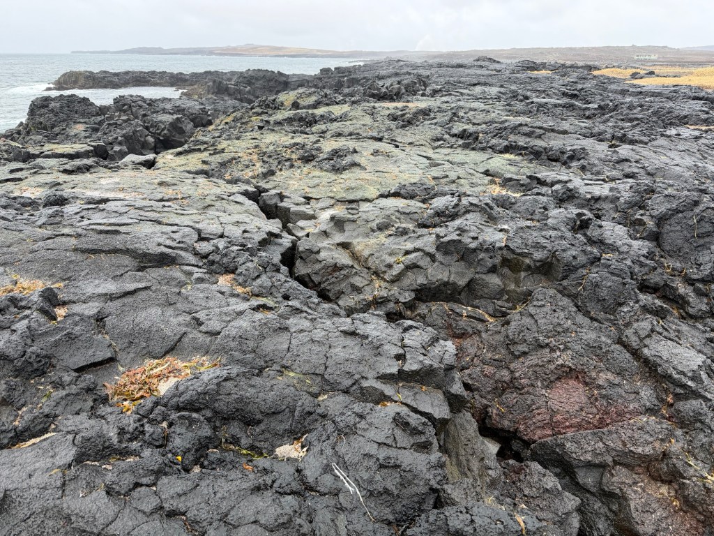
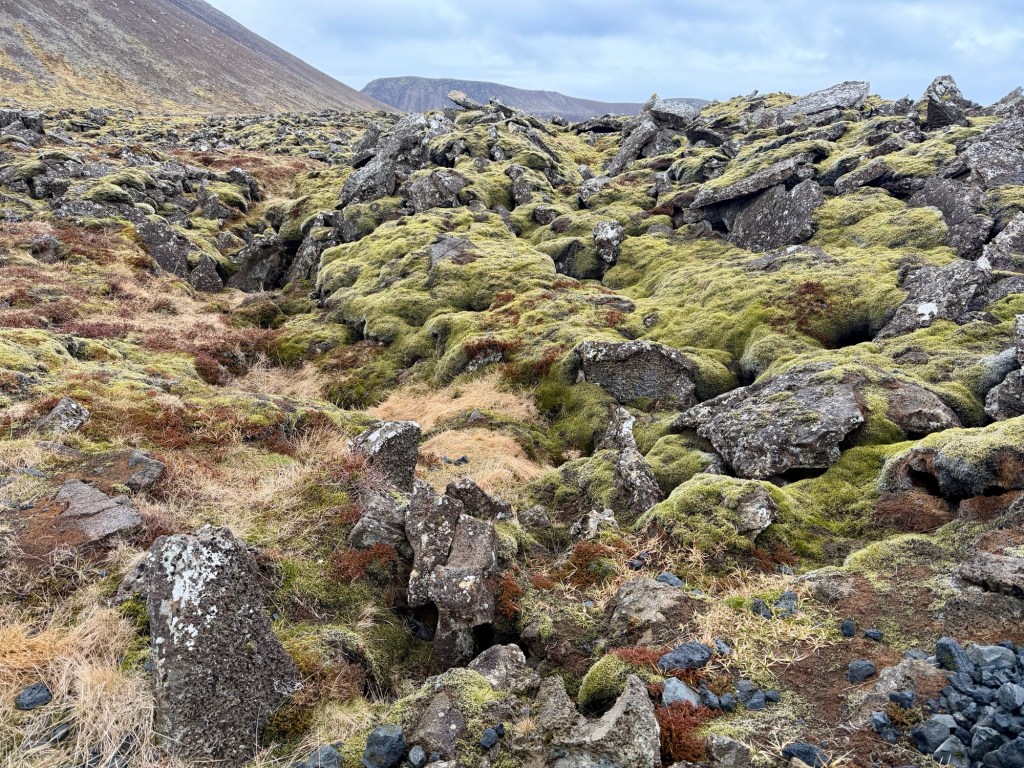
We were driving along the south shore along lava flows 2.5 – 5 million years old.
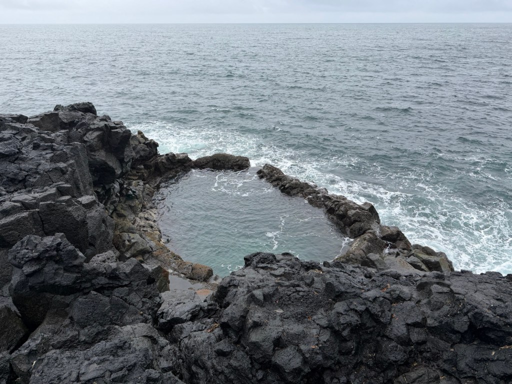
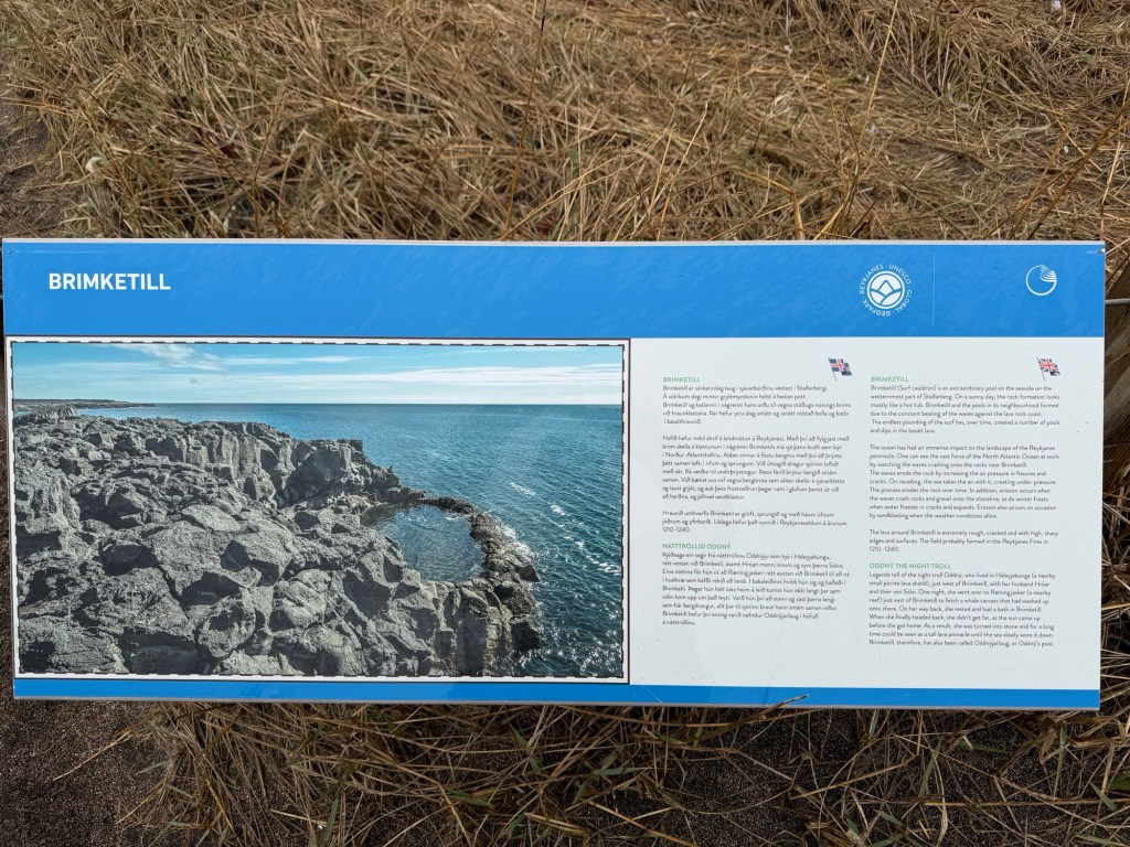
Oddny’s Pool, named after a troll reputed to have lived nearbySurface of lava flows covered by seaweedUsLegend of the pool and the troll
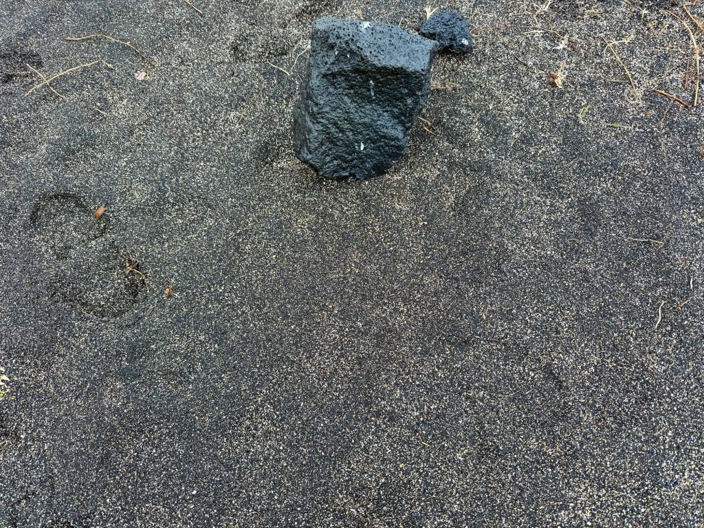
Another stop along the road showed us intricately mixed black and white coarse sand. Halldor said the white pieces were sea shells.
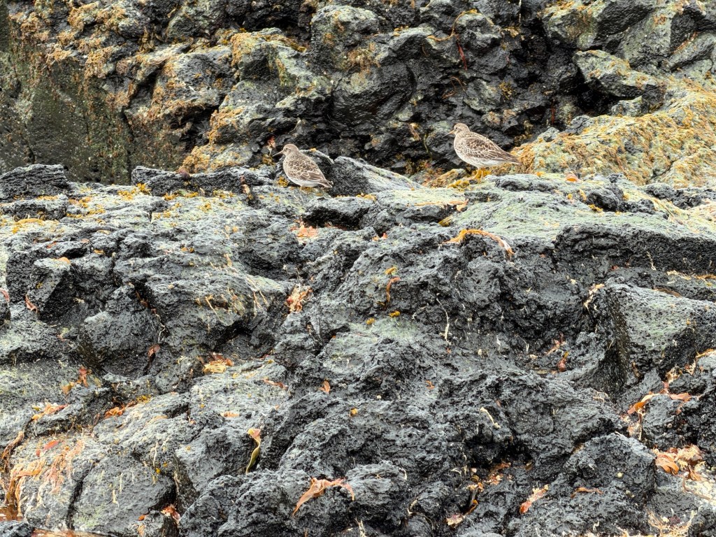
Block of basalt adjacent to the coarse sandSandpipers scurrying on the rocks
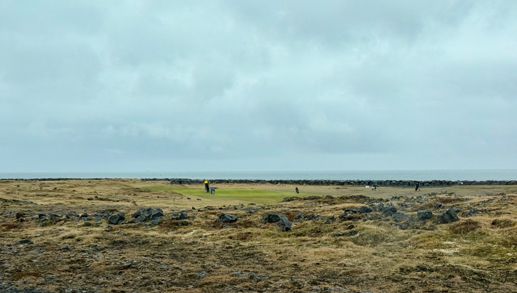
Even in the rain, golfers must play!
Relatively flat grassy lava surface with natural hazards for golfers
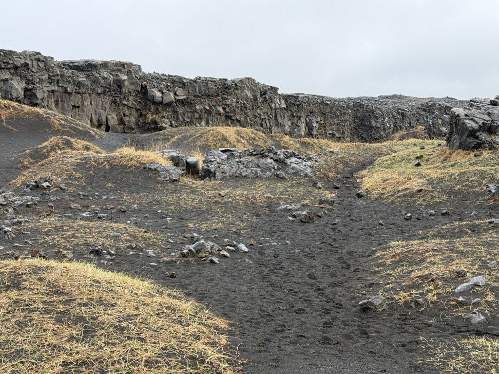
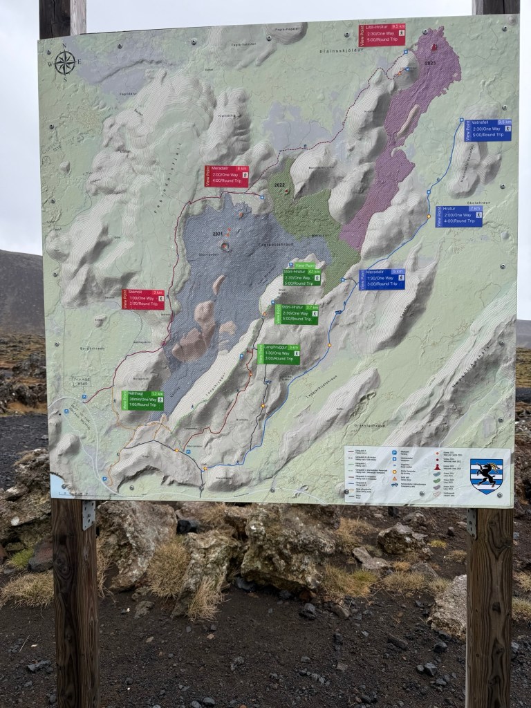
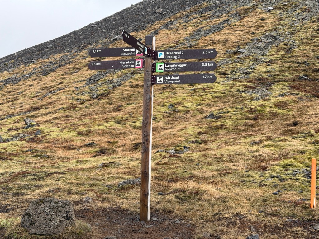
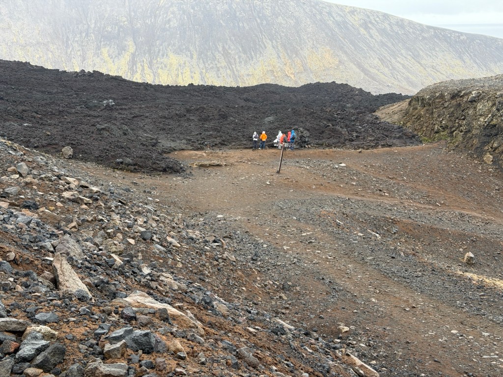
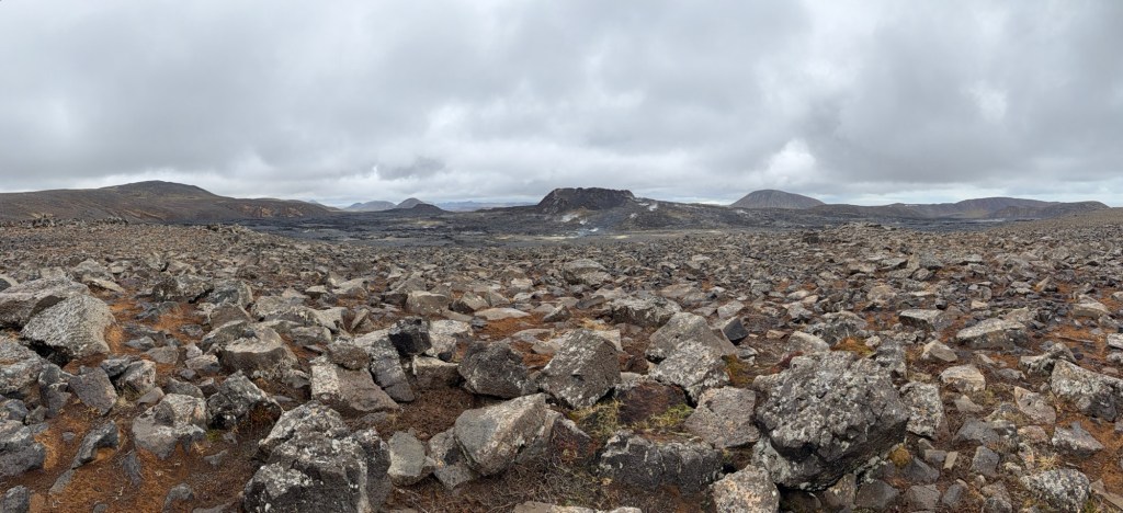
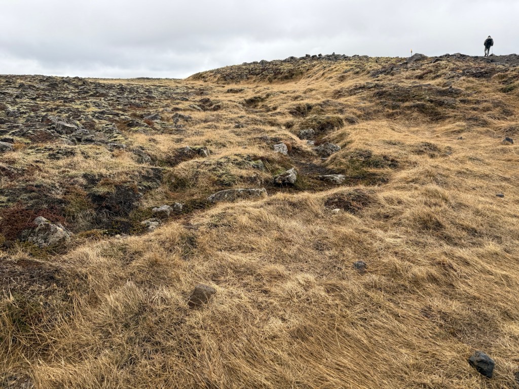
At the start of our hike, we examined the map. We went up the west side of the recent lava flow toward the source of the lava.
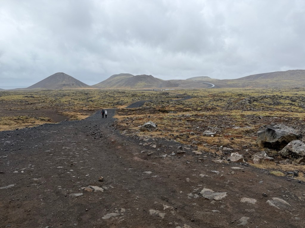
Nice trail signs and we went toward Meradalir.Looking back towards the road. The hiking trail is wide, for emergency vehicles.
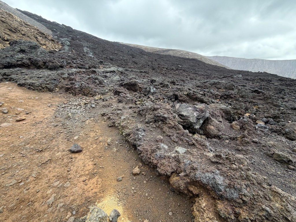
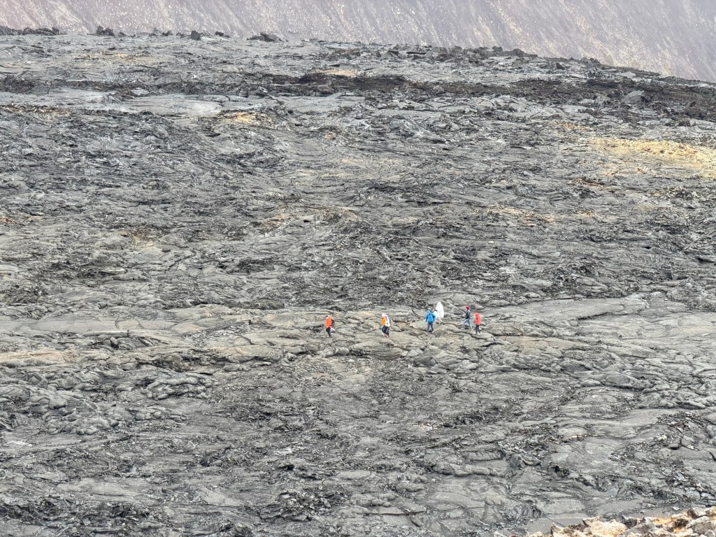
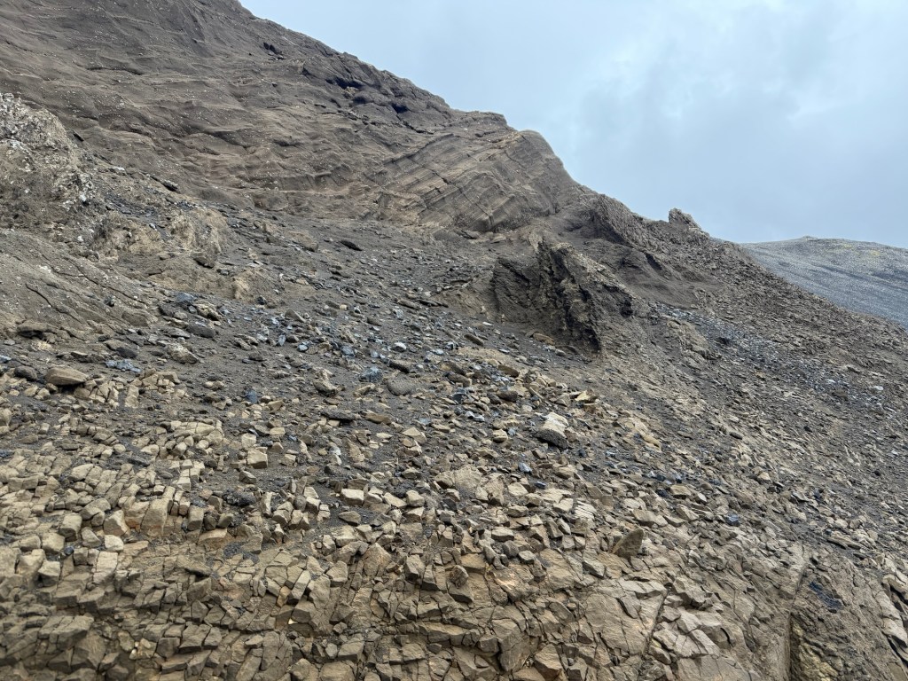
The hike was in places easy, steep, cobbled and slippery. Quite the adventure for us old folks. We walked adjacent to the lava flow.
First views of the new eruptive flows.
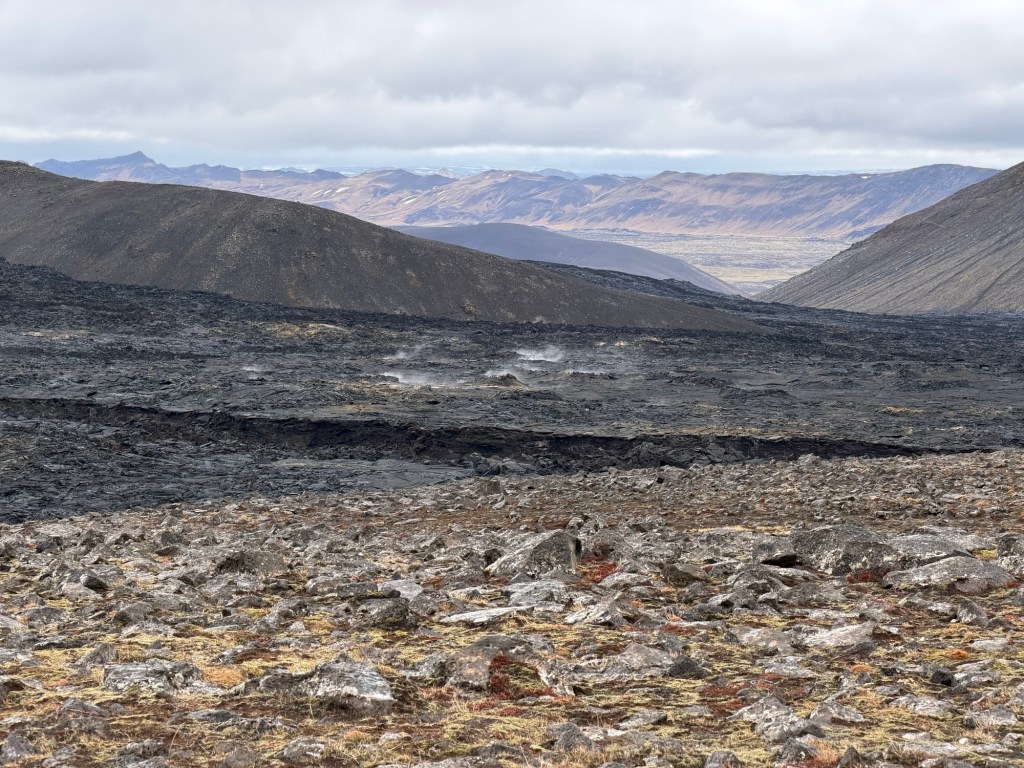
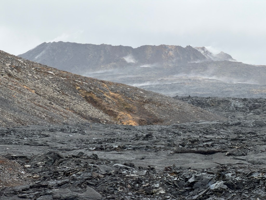
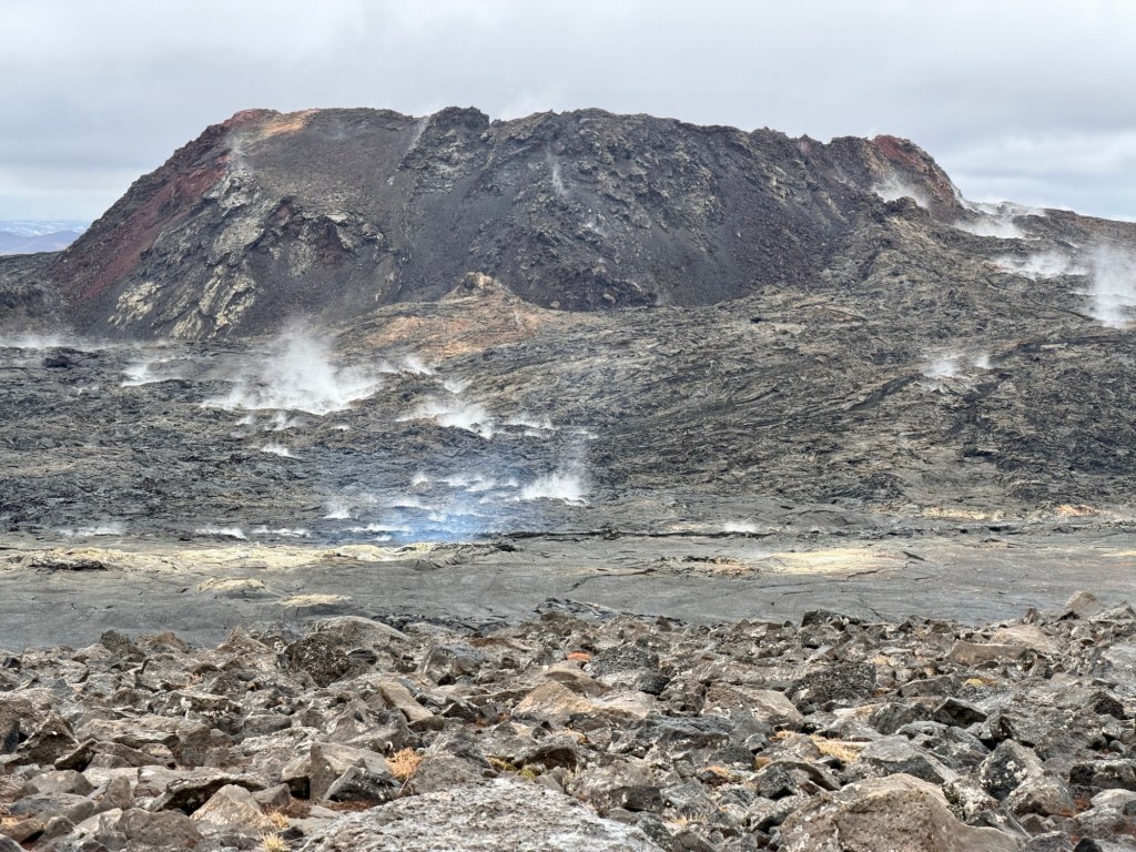
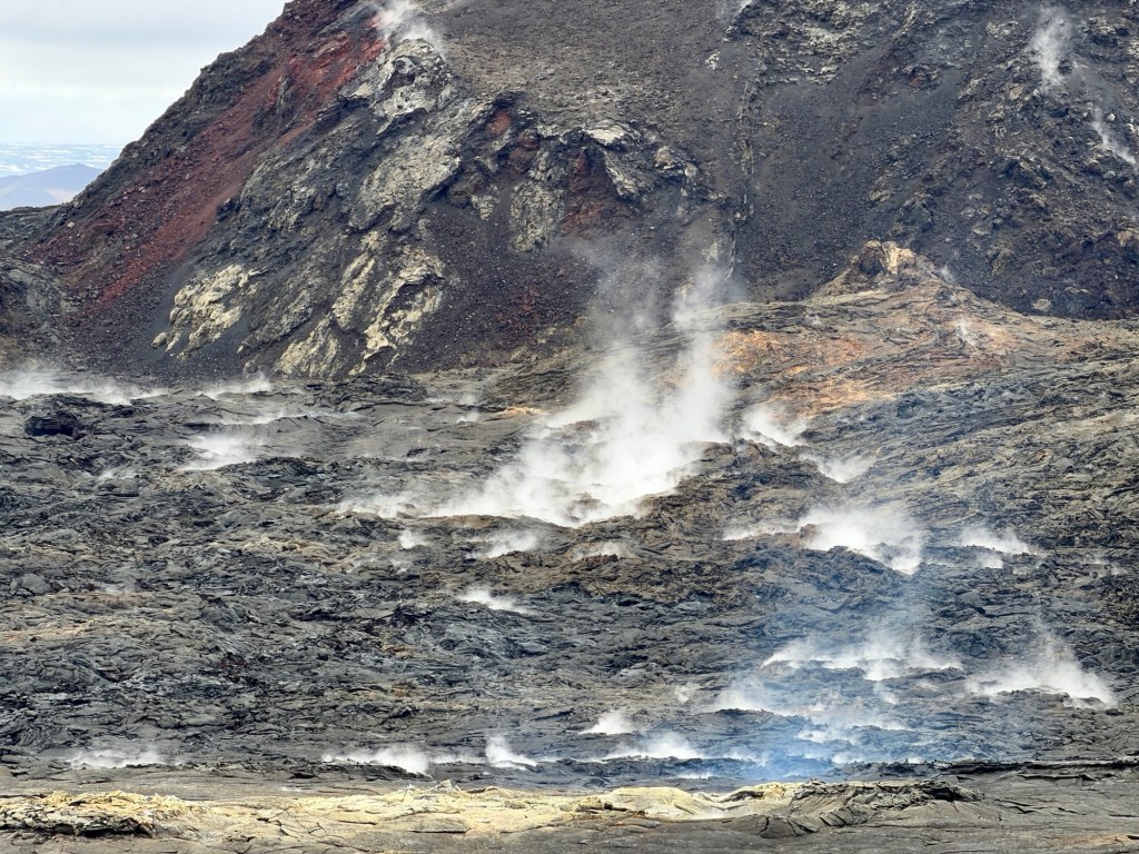
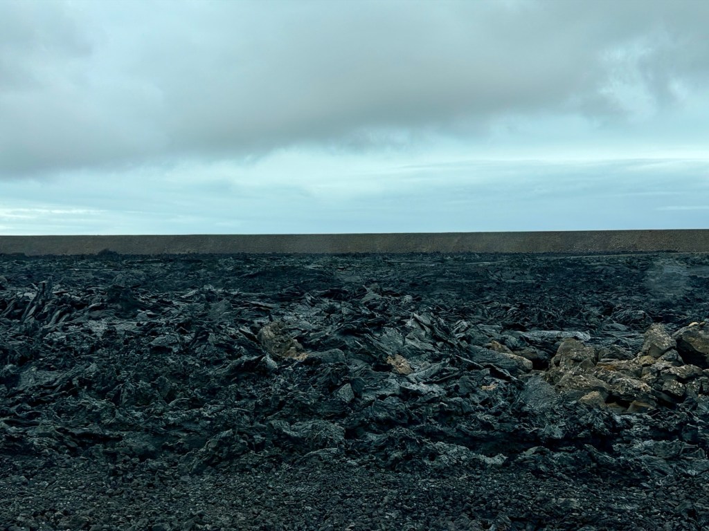
Up a bit higher, we could see into the valley covered in recent lavas.
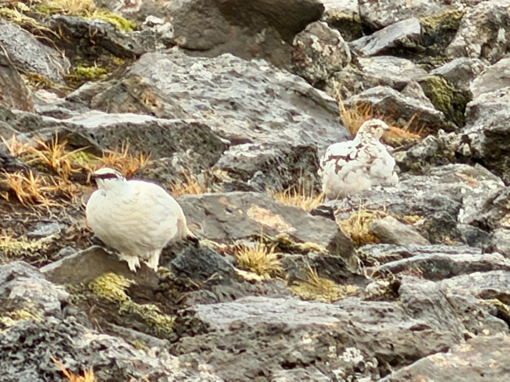
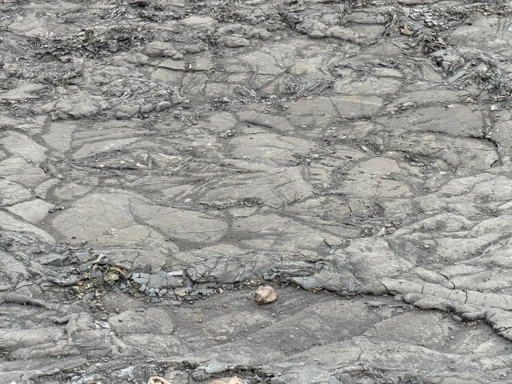
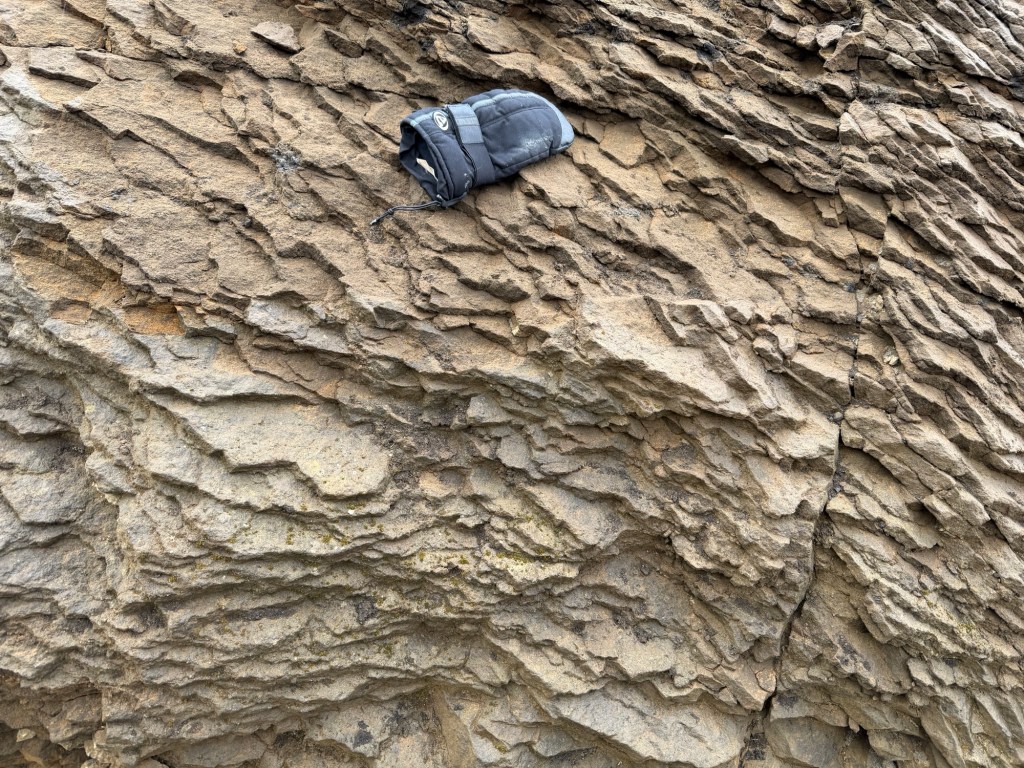
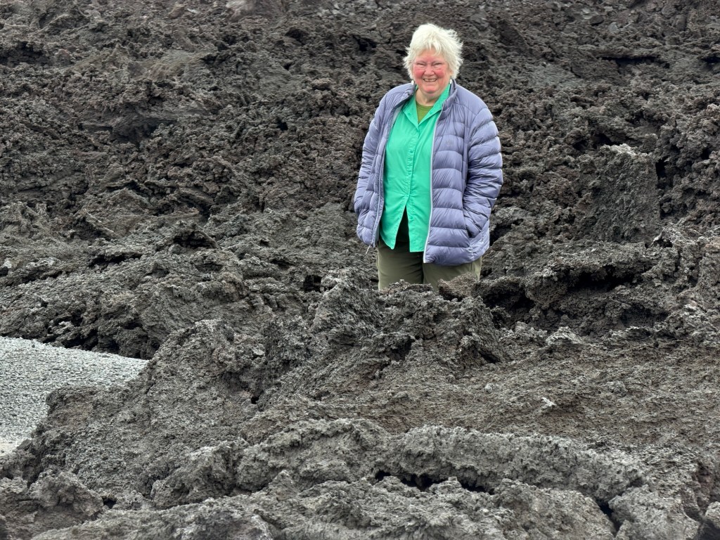
Some of the lava is still steaming, surprisingly hot two years later.Rock Ptarmigan couple protecting their nest. Panorama showing the flat-topped vent area for the recent flows.Some of the visible gases are steam. The bluish haze is venting gases or smoke from buried vegetation.Humans for scale. Pattern on top of the flowWe were told that the plant material is not grass, but a moss-like plant. Older volcaniclastic sediments on the side of the hill near the beginning of the hike. Glove for scale.
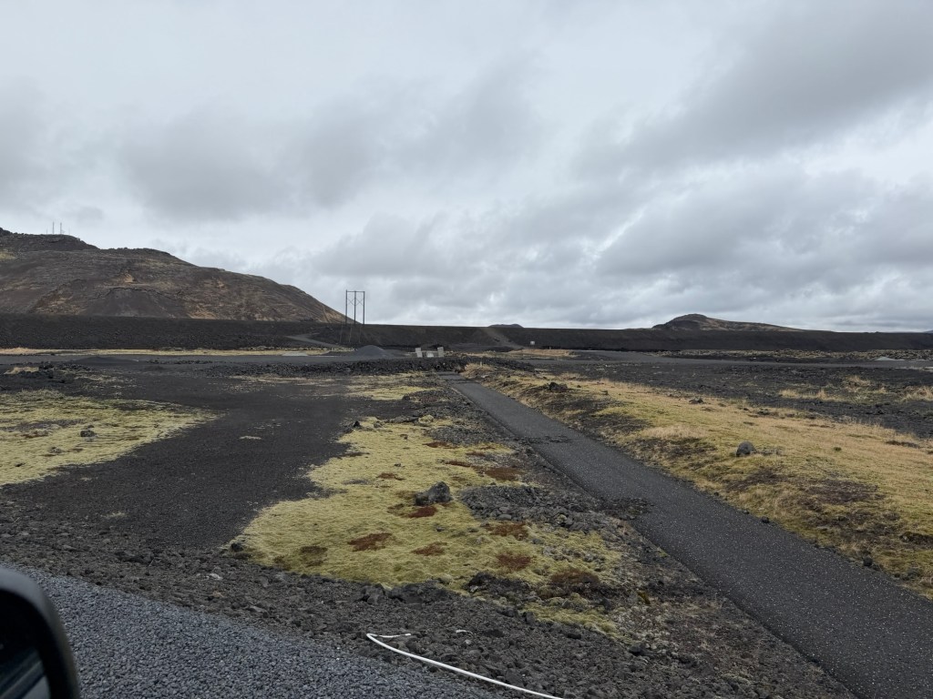
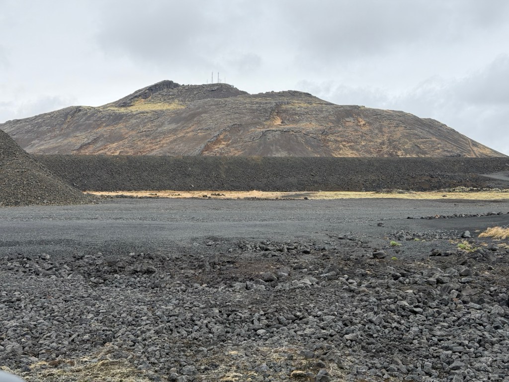
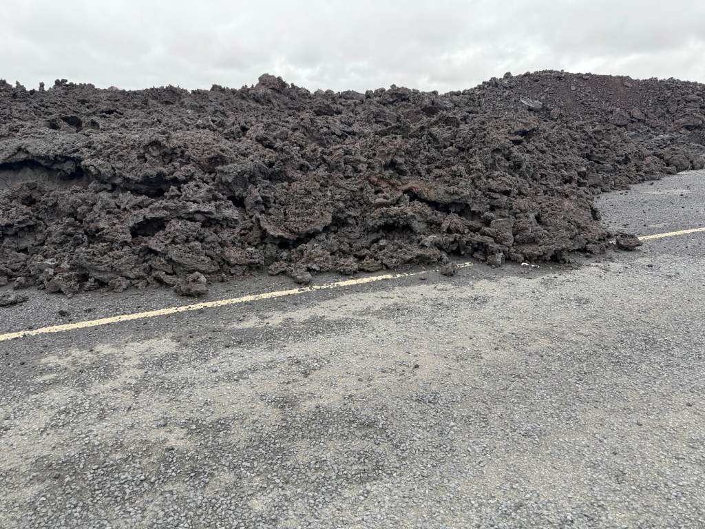
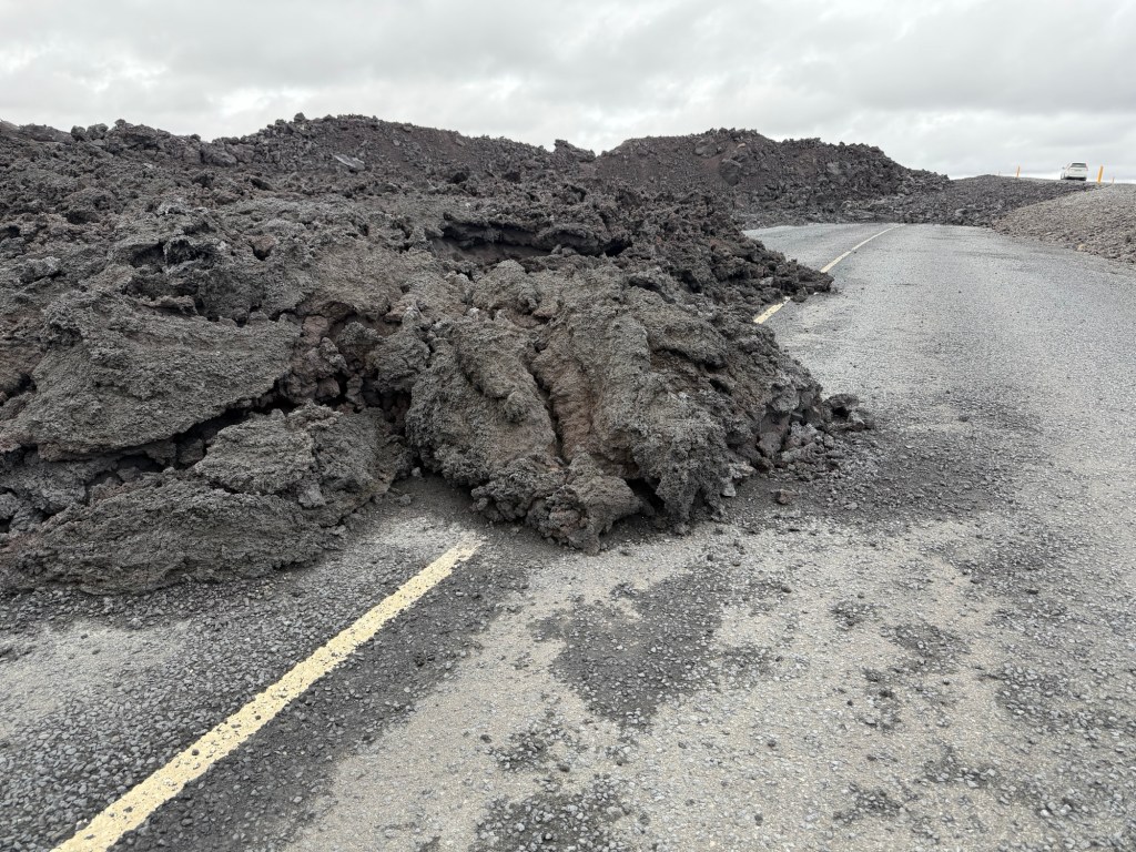
Icelanders are astonishingly talented engineers, by necessity. They piled up crushed volcanic rock in high berms to protect cities and roads where possible. These berms protected the town of Grindavik.
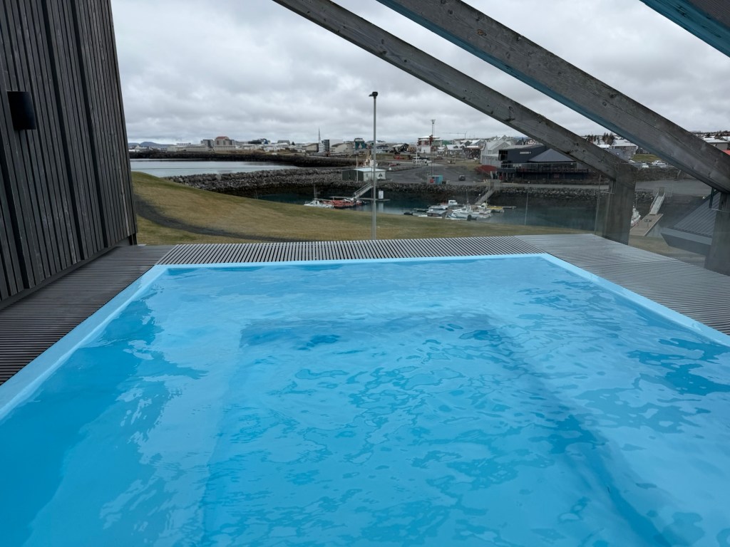
Left two photos are front of the berm near Grindavik, right, recent lava piled up behind. The town was saved!Old road broken and covered by recent flows, near the Blue Lagoon. Back at the hotel for a hot tub and Viking Dark and Viking Light.
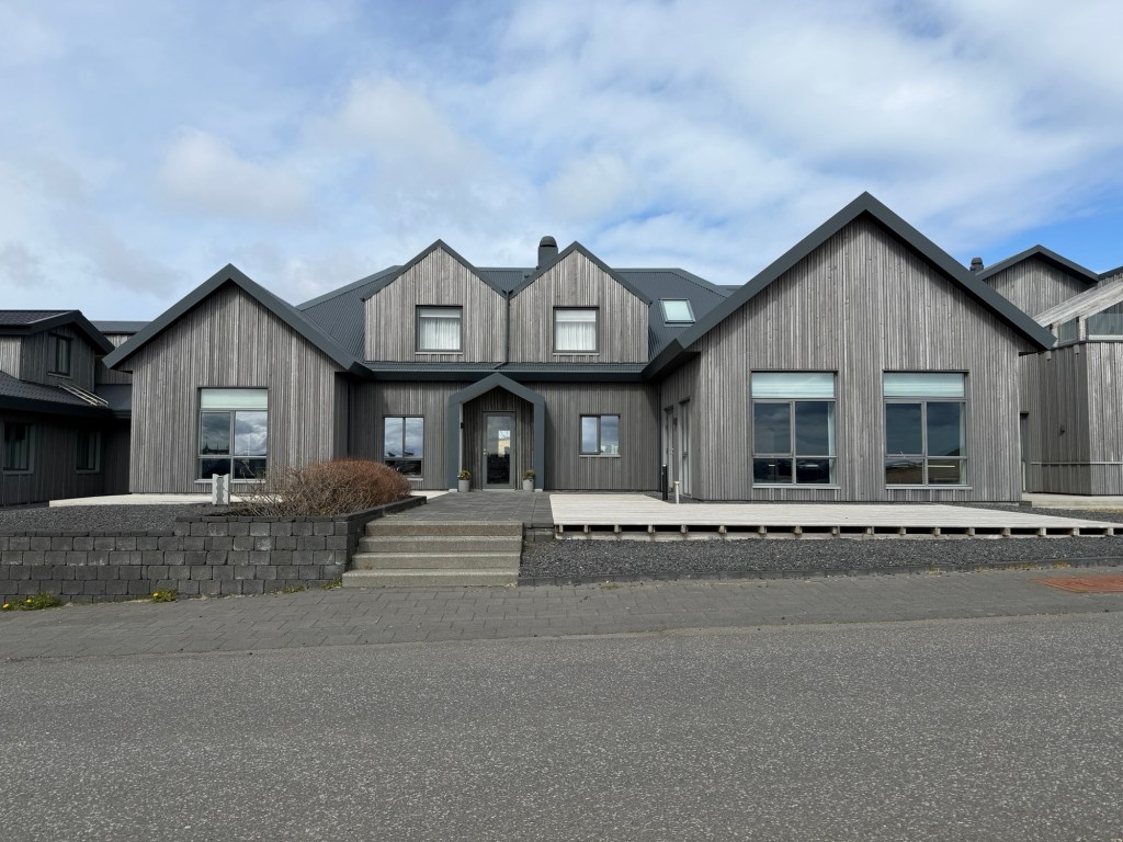
This is a very small, unpopulated town! The hotel was fairly modern, though. Our room was more like a townhouse, bedroom upstairs, bathroom and sitting area downstairs.
Berg Hotel, where we stayed.
We wandered around, trying to stay awake. Lots of fun things to see, all within easy walking range.
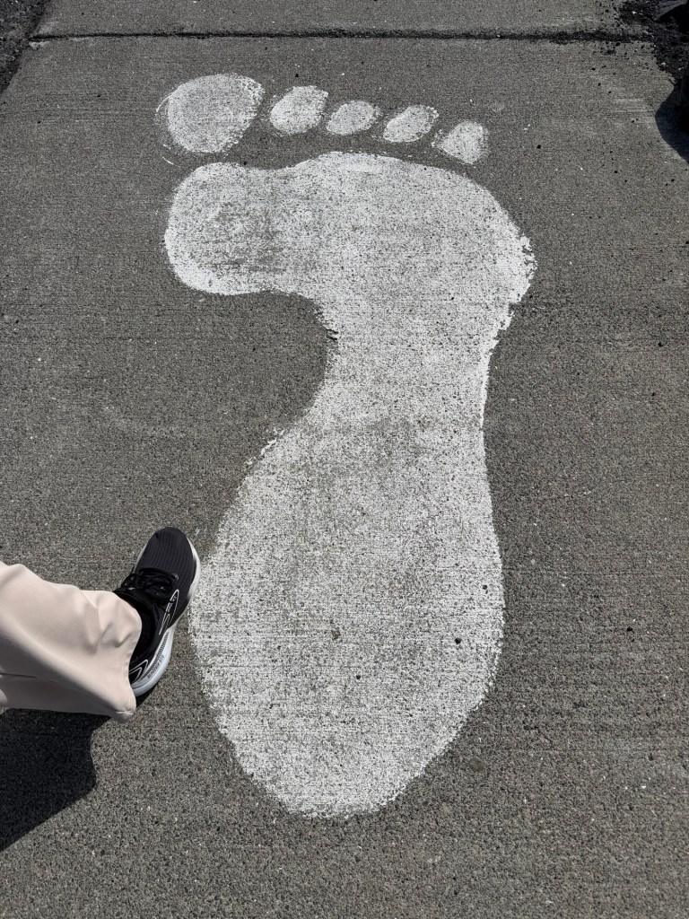
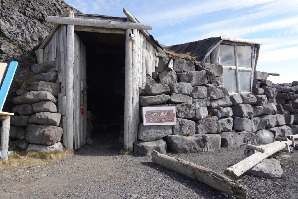
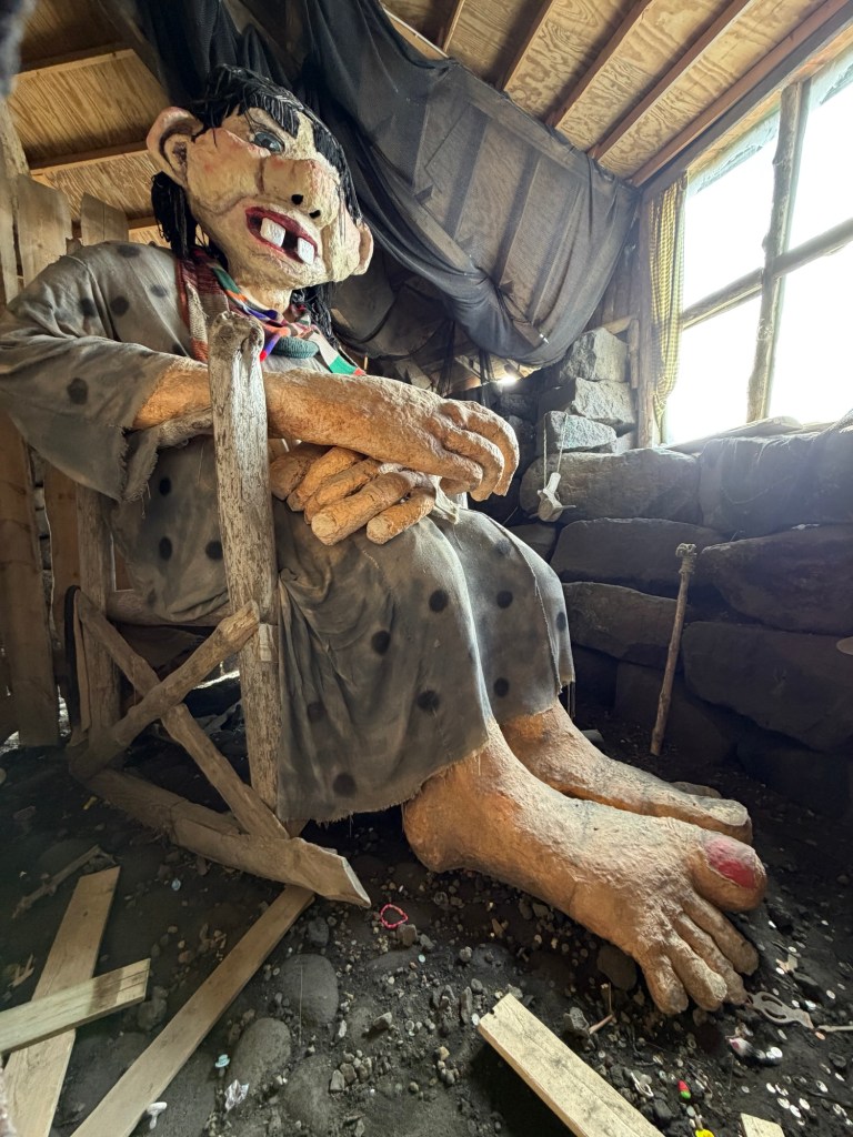
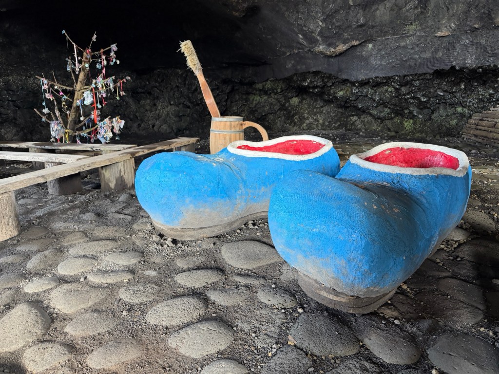
Footprints leading to an unusual structure.Gianta’s CaveGianta herself, making scary noisesGianta’s shoesHer bedDoorway to cave
Just a little further along the edge of the bay is a lighthouse, built in 1922.
Unusual color for a lighthouse!The name of the point of land and the lighthouse.
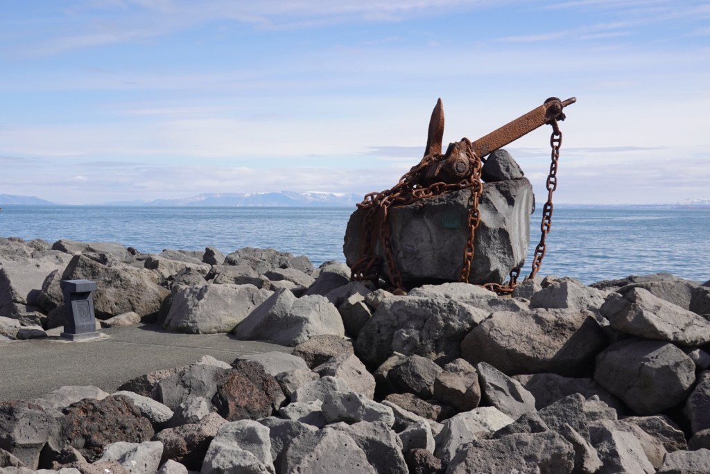
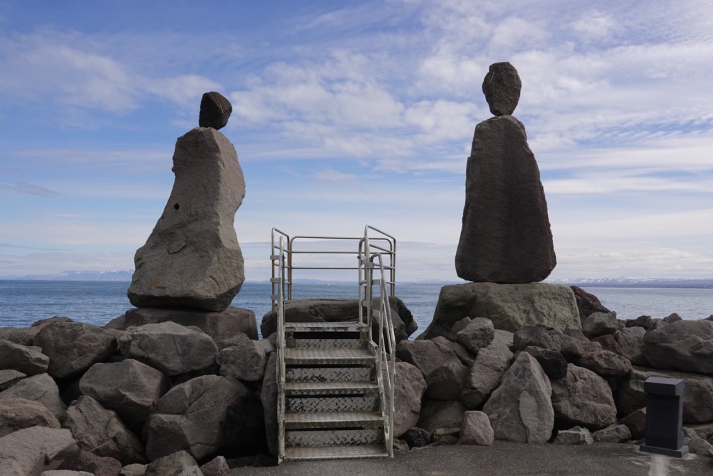
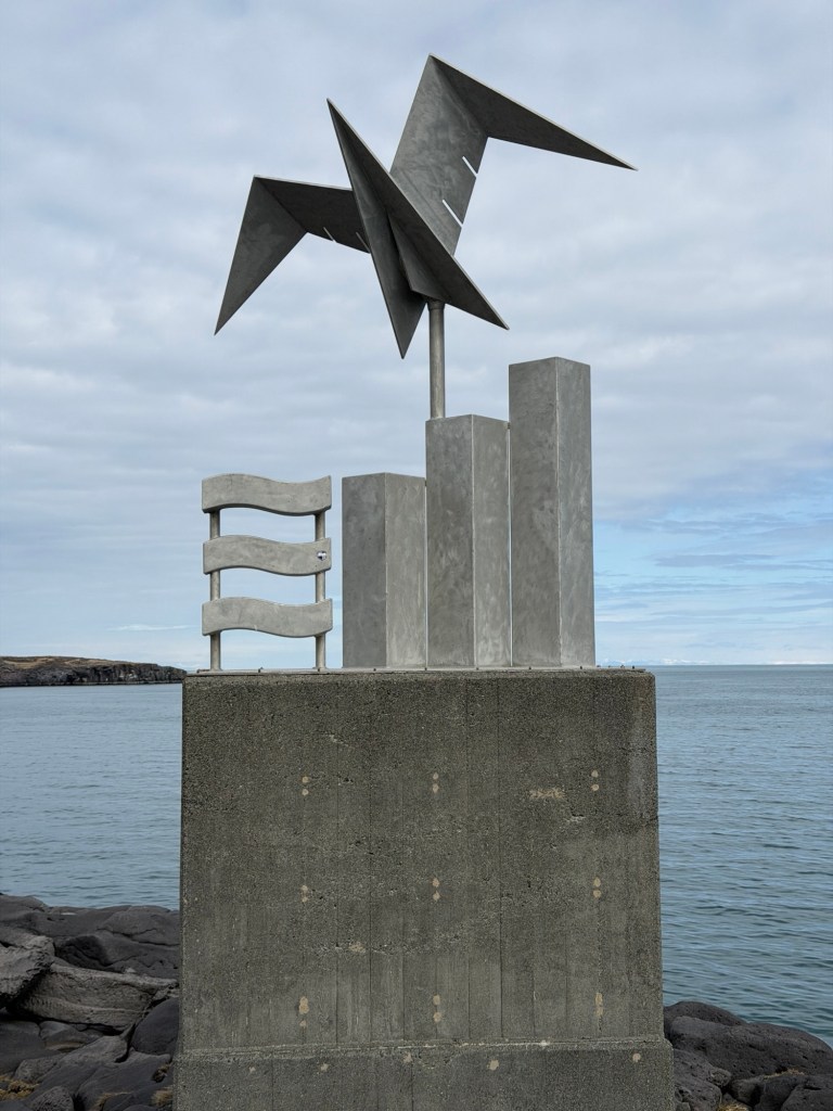
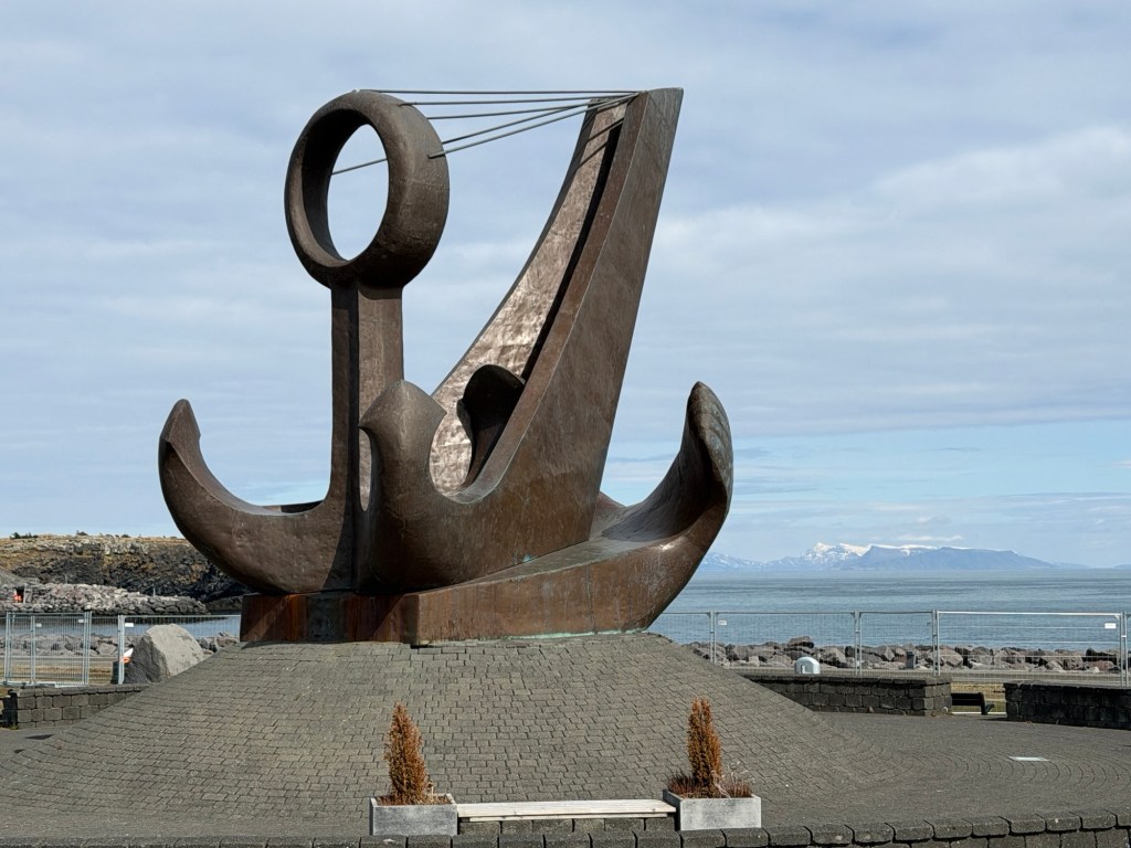
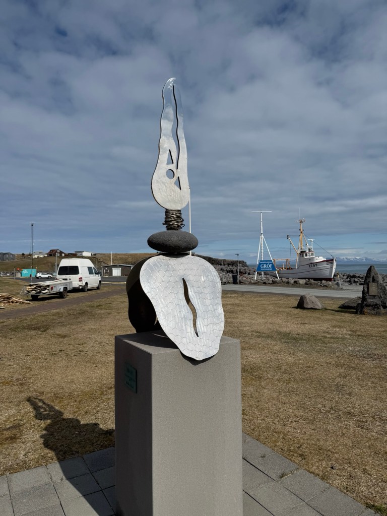
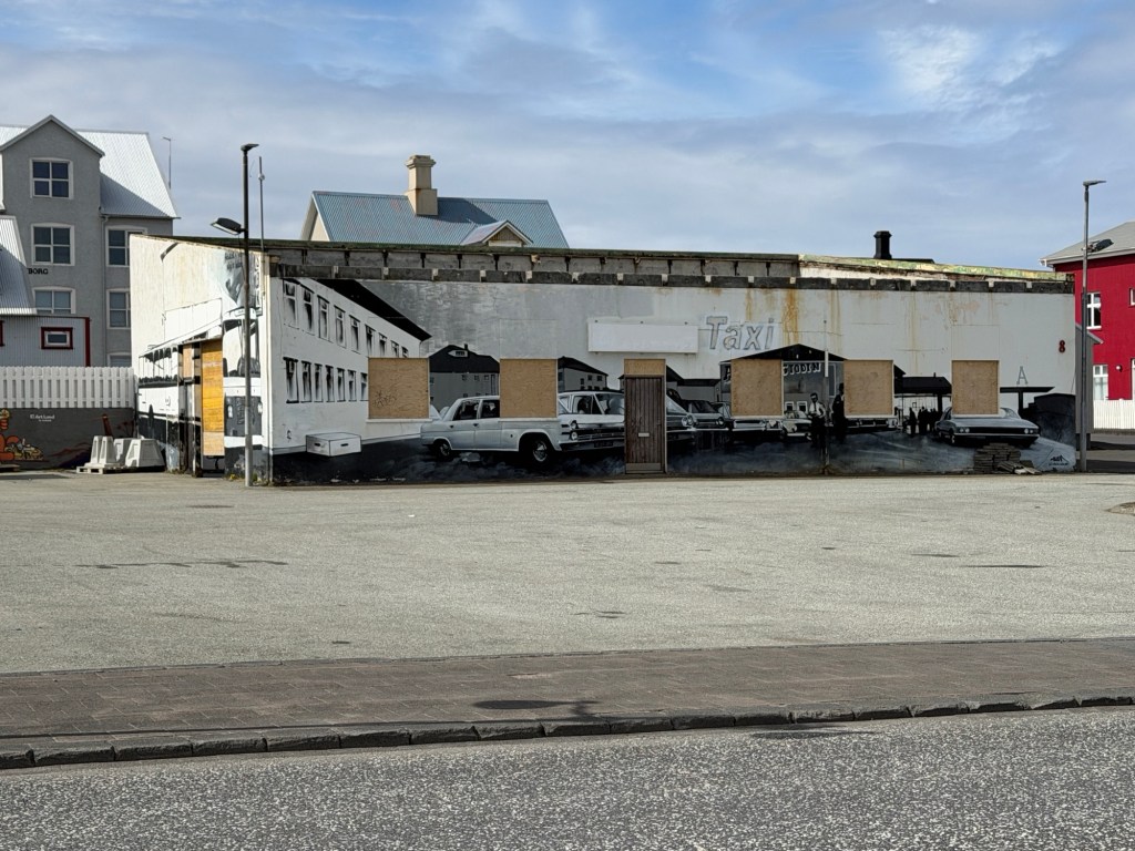
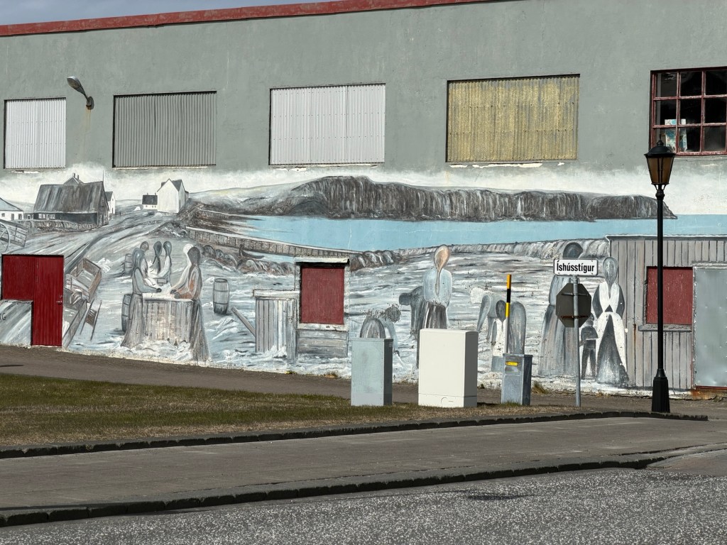
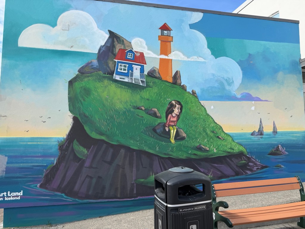
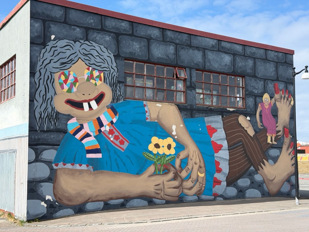
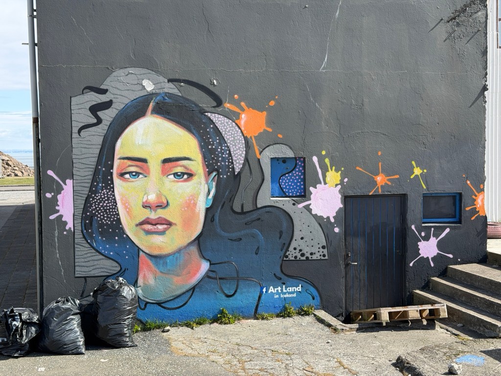
We continued along the edge of the sea. Displays of murals and sculptures were often labeled Art Land in Iceland.
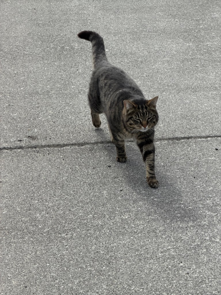
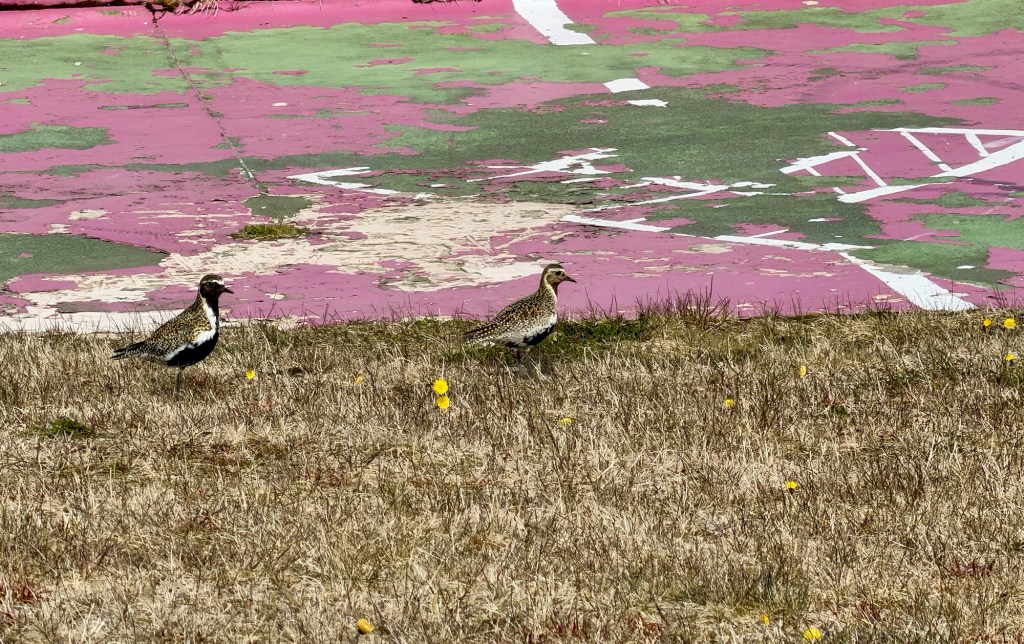
Fouled anchorLooking out to the sea Bird, basalt columns, and oceanFisherman’s memorial Expanded version of an award given to artists in ArtlandMural of old downtown Different mural of older downtown Gianta’s daughter? We weren’t certain.Even Gianta got into a muralMural of a local artistWe could see this one out the window of our room. Pretty kitty came to investigate usA pair of Golden Plovers, a harbinger of Spring
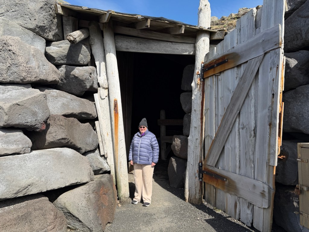
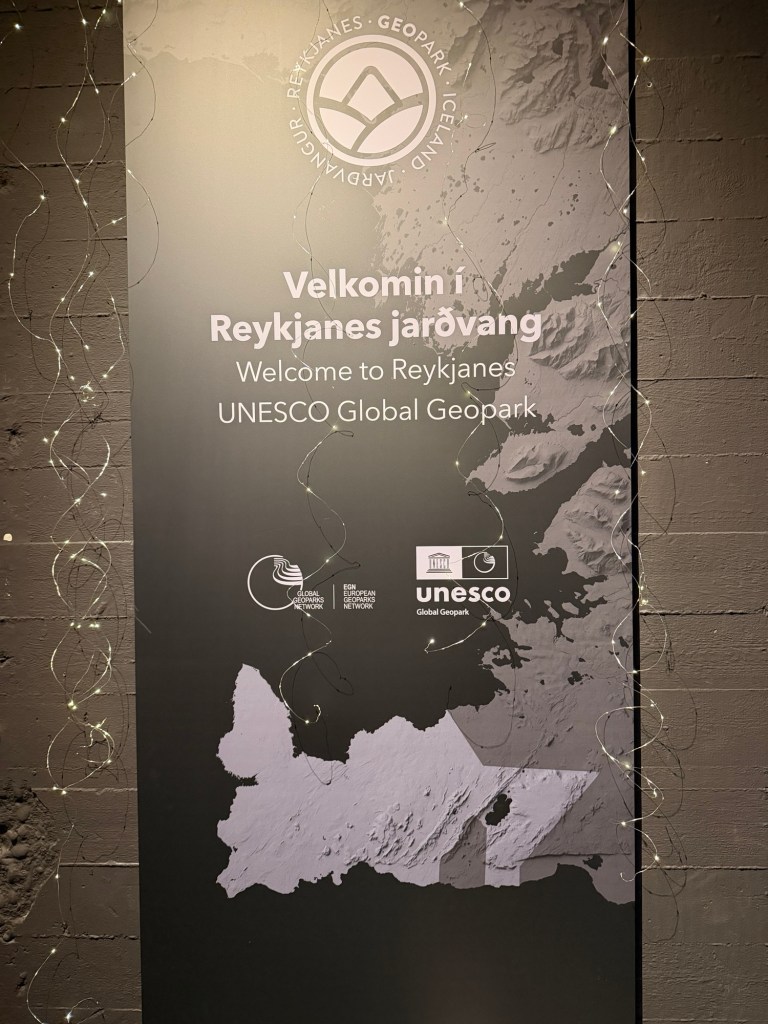
A huge museum contained information about the International Geopark and lots of other displays, which we explored with glee.
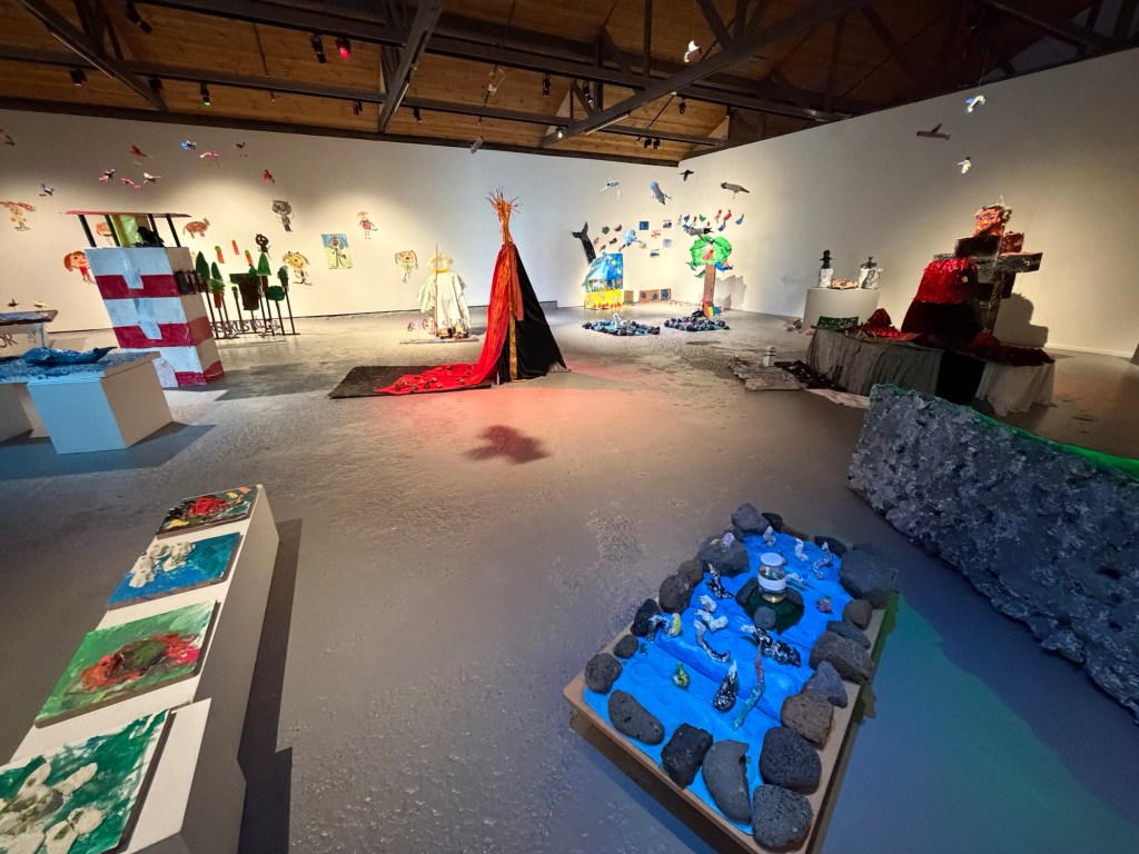
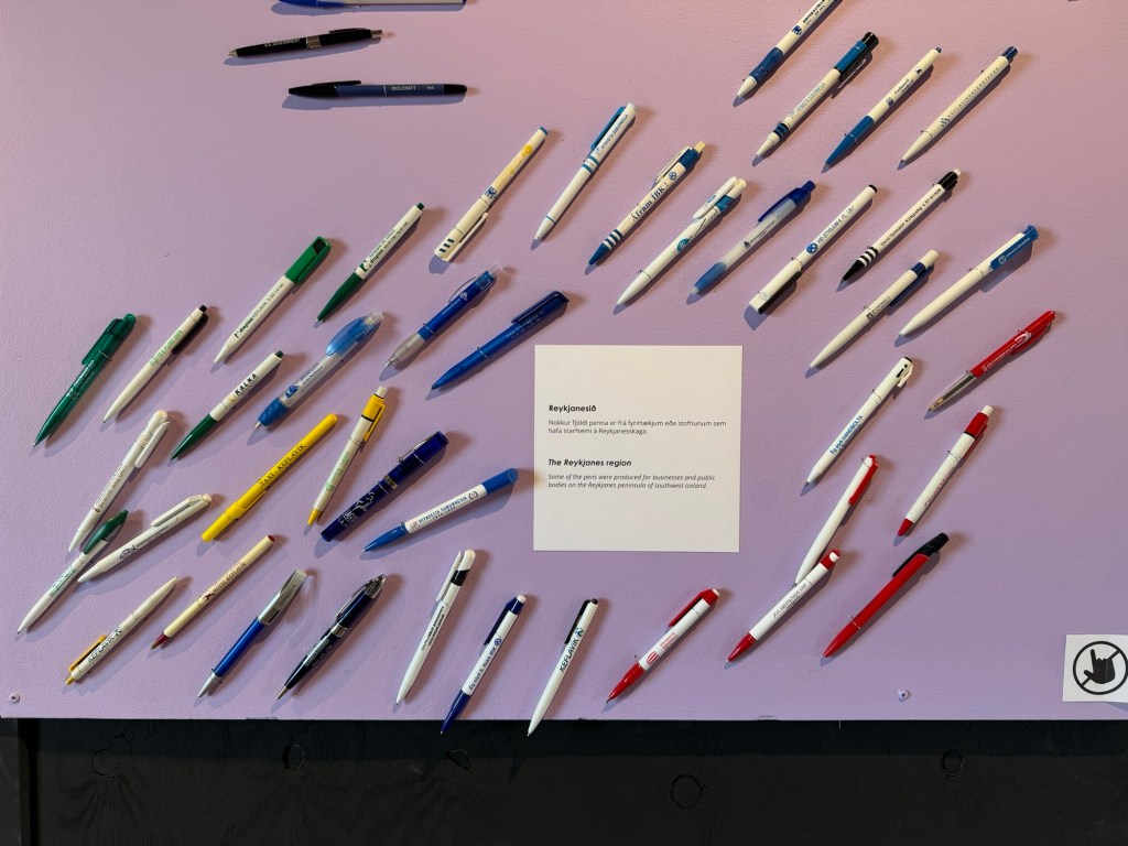
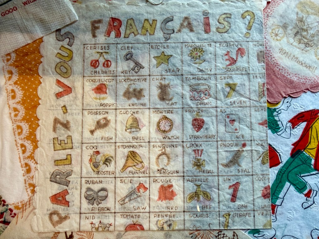
Kindergarten kids art, many depicted volcanoes An Icelander collected free pens and donated them to the museum. French words on a napkin, one of many napkins on displayVideo shaming someone who forgot to bring a bag to the grocery store. Icelanders are concerned about plastic pollution!
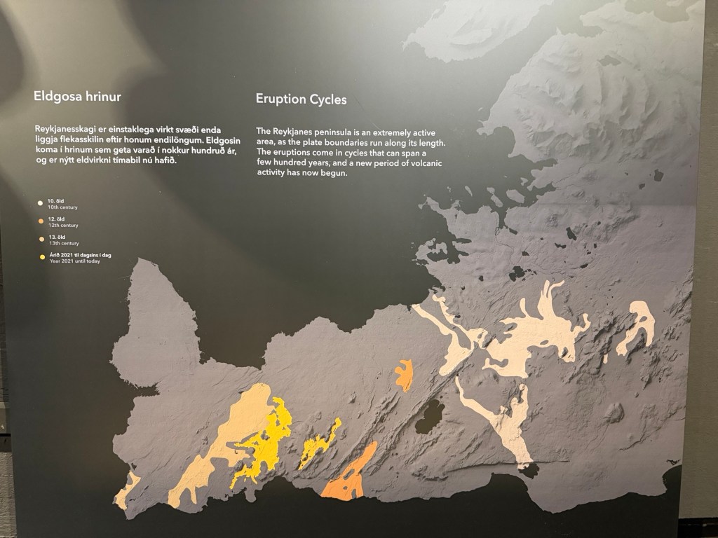
Geoparks exhibit.
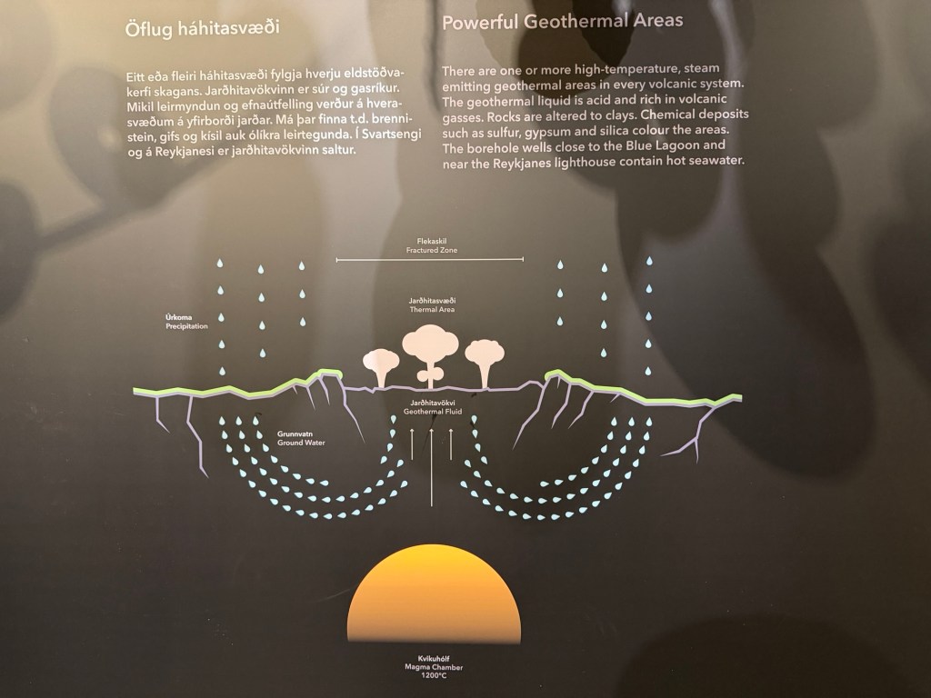
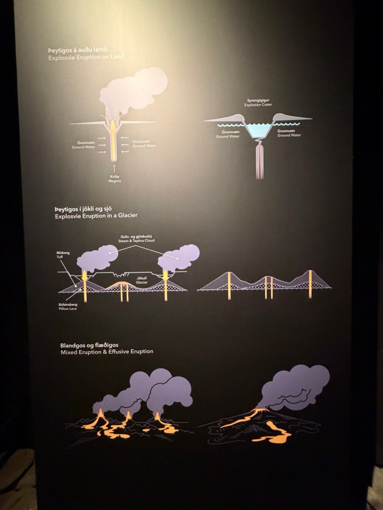
The geopark encompasses the whole peninsula.Diagram of a hot springTypes of volcanic eruptions Map of the extent of volcanic rocks over time, indicating that 2021 may signify the beginning of a new cycle of volcanism.
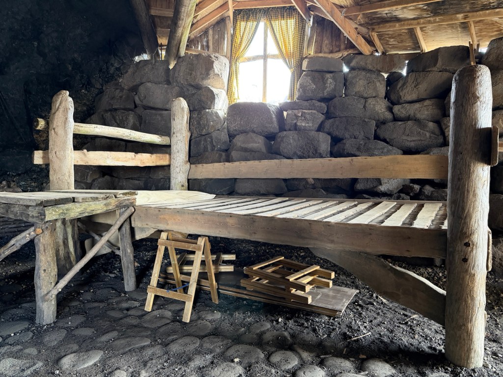
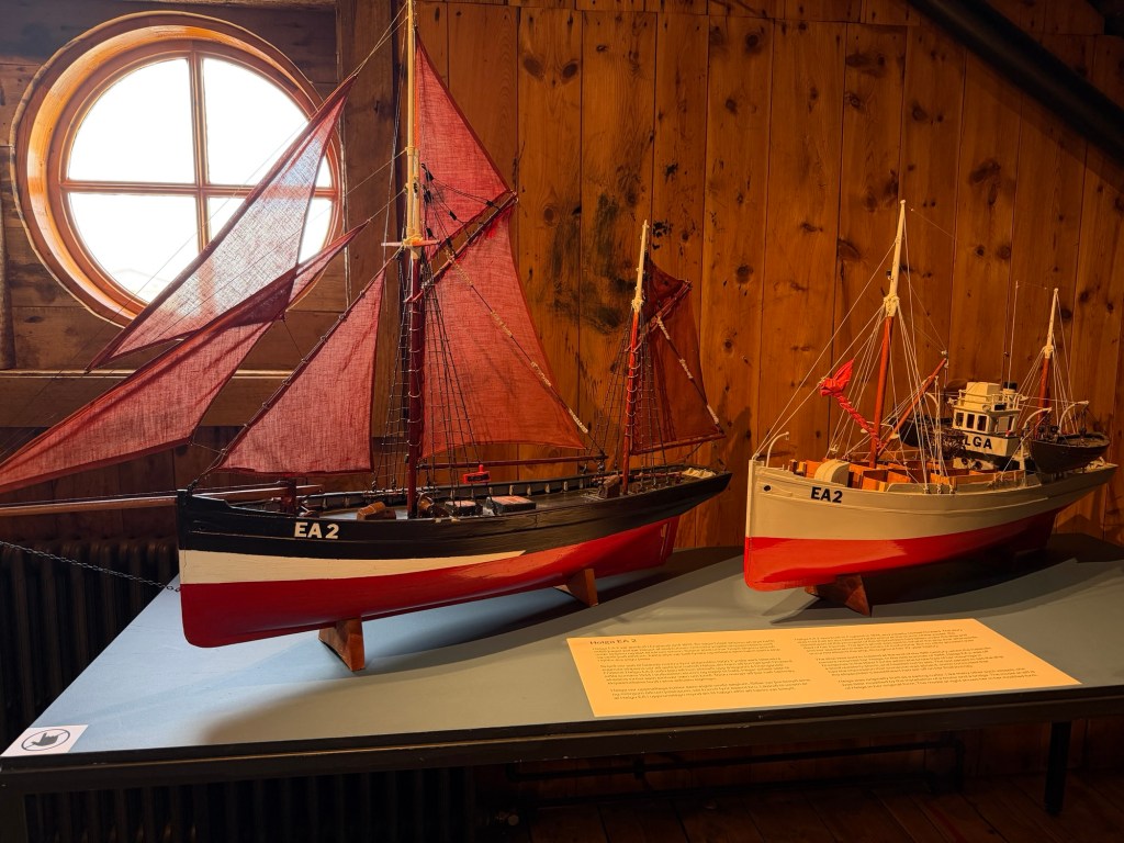
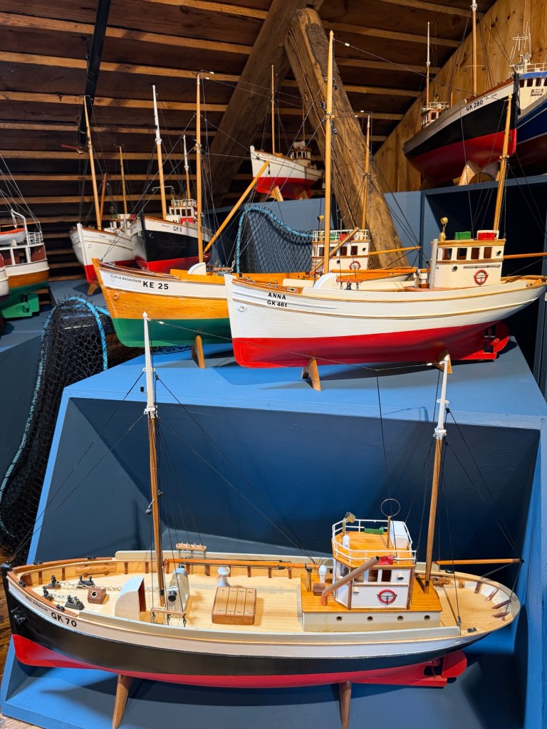
In the attic, there was a huge collection of boat models.
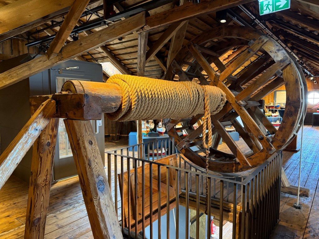
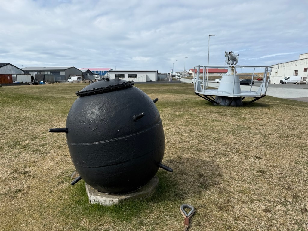
One of the only sailboatsMost were fishing boatsTop of a hoist, part of the original purpose of this old buildingOutside the museum, there are some relics from the World War II era.
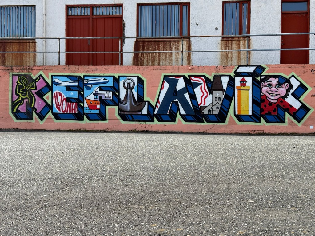
The United States established a base in Keflavik during WWII, primarily for refueling. Although some civilian passenger use began in 1949, the airport transitioned to a large commercial hub when the base was turned over to Iceland in 2006. Today, almost 10 million passengers connect at KEF annually.
Finally, we went back to the hotel to organize this blog. Staying awake was difficult, of course, first day in a new time zone.