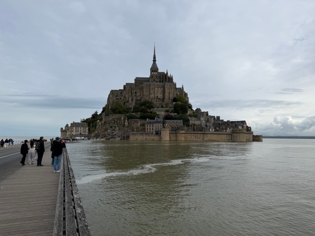
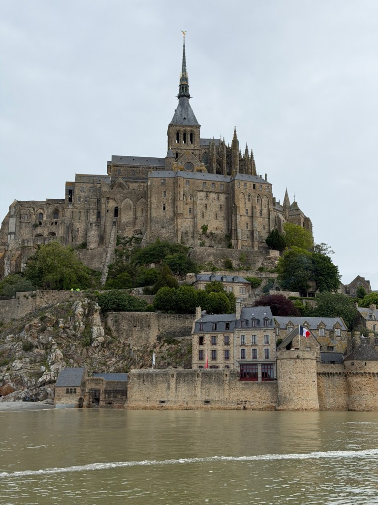
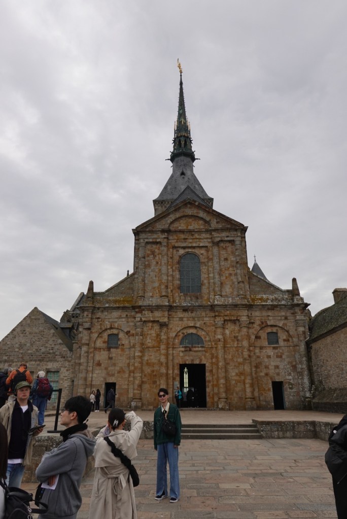
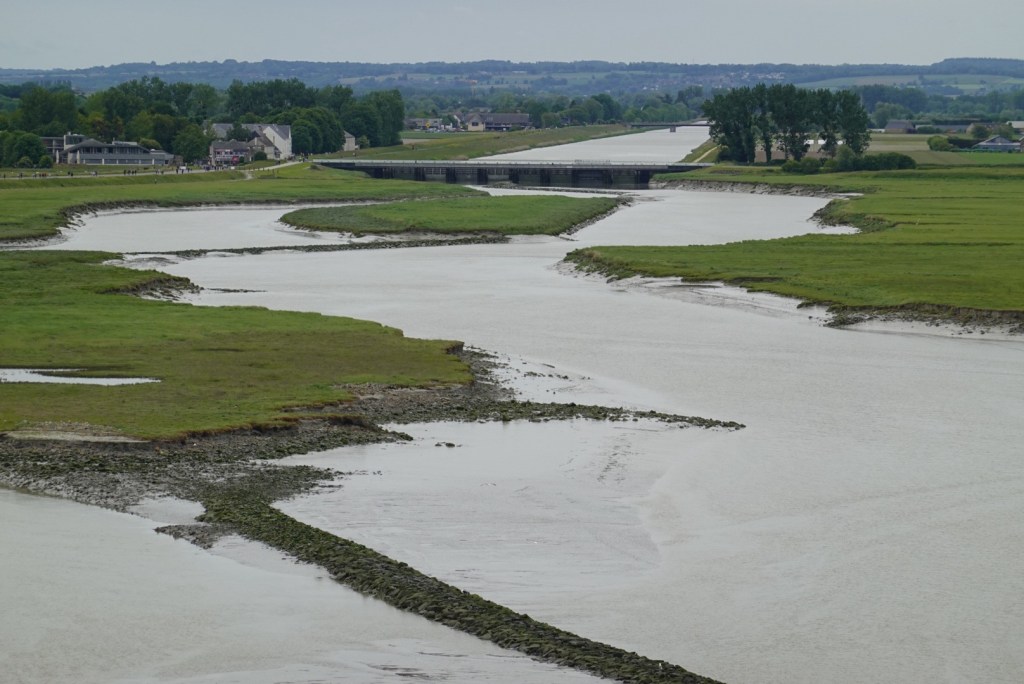
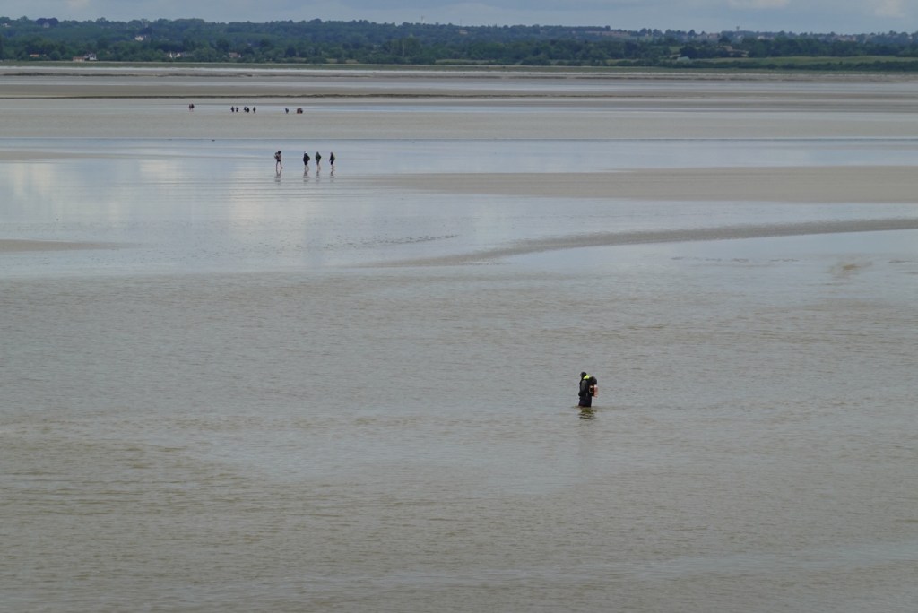
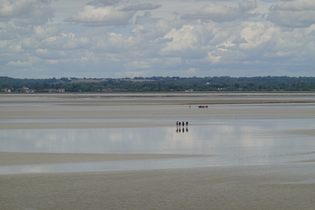
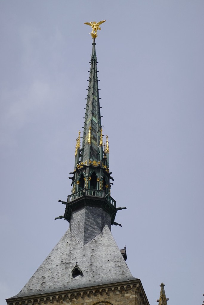
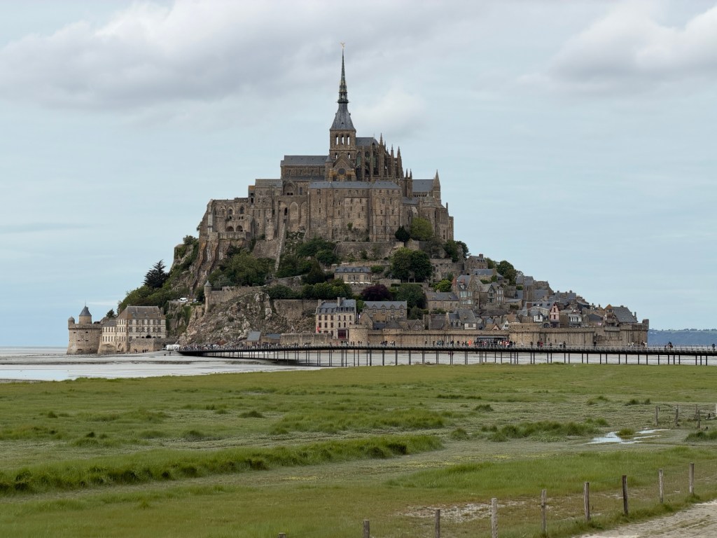
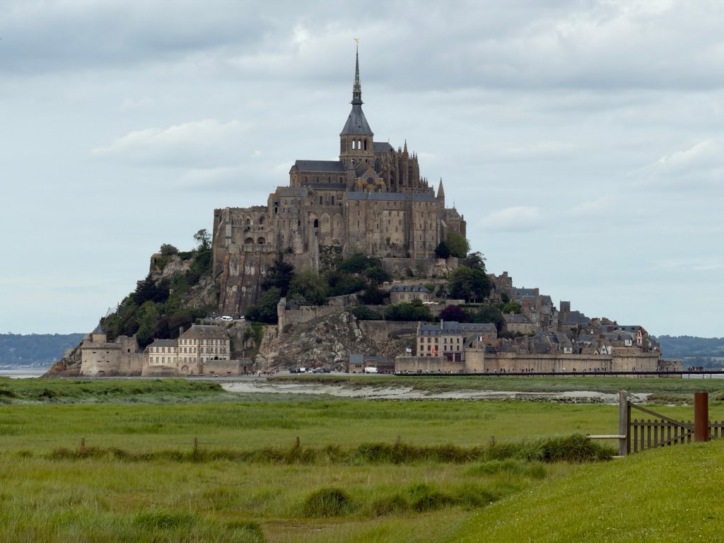
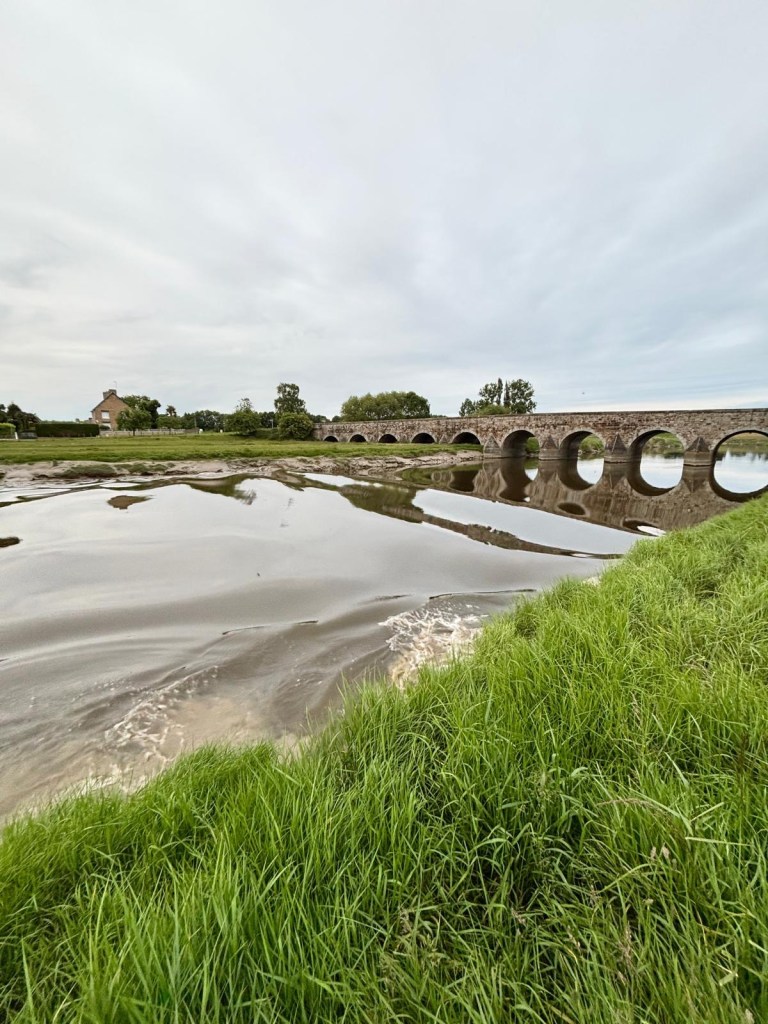
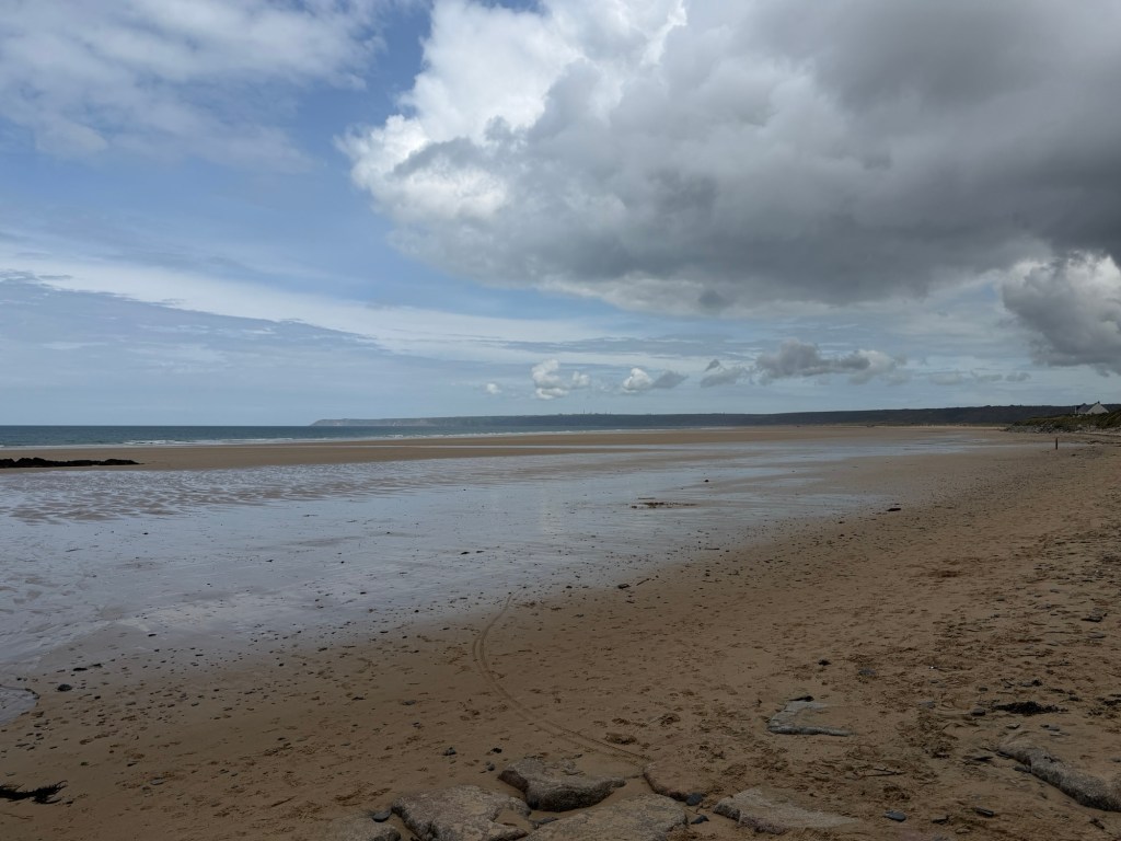
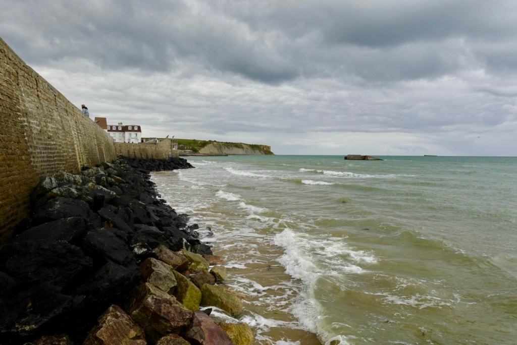
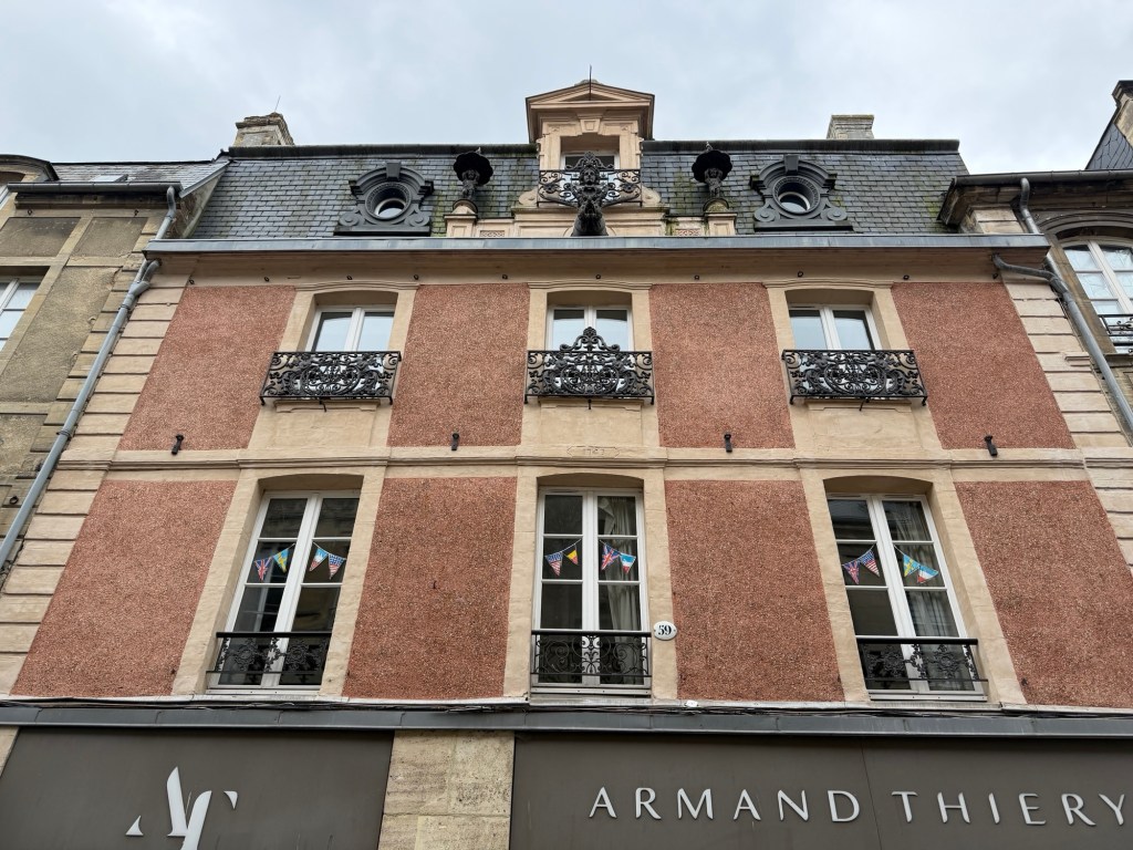
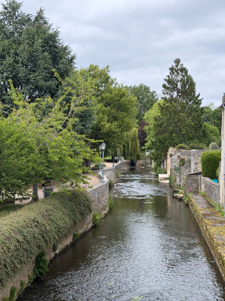
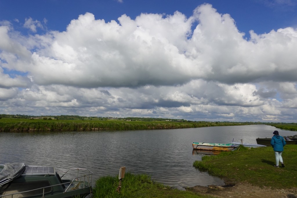
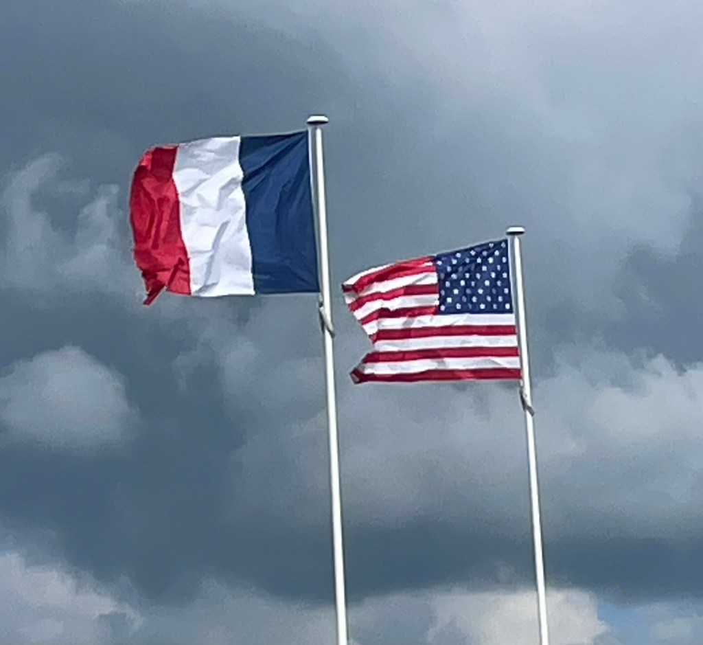
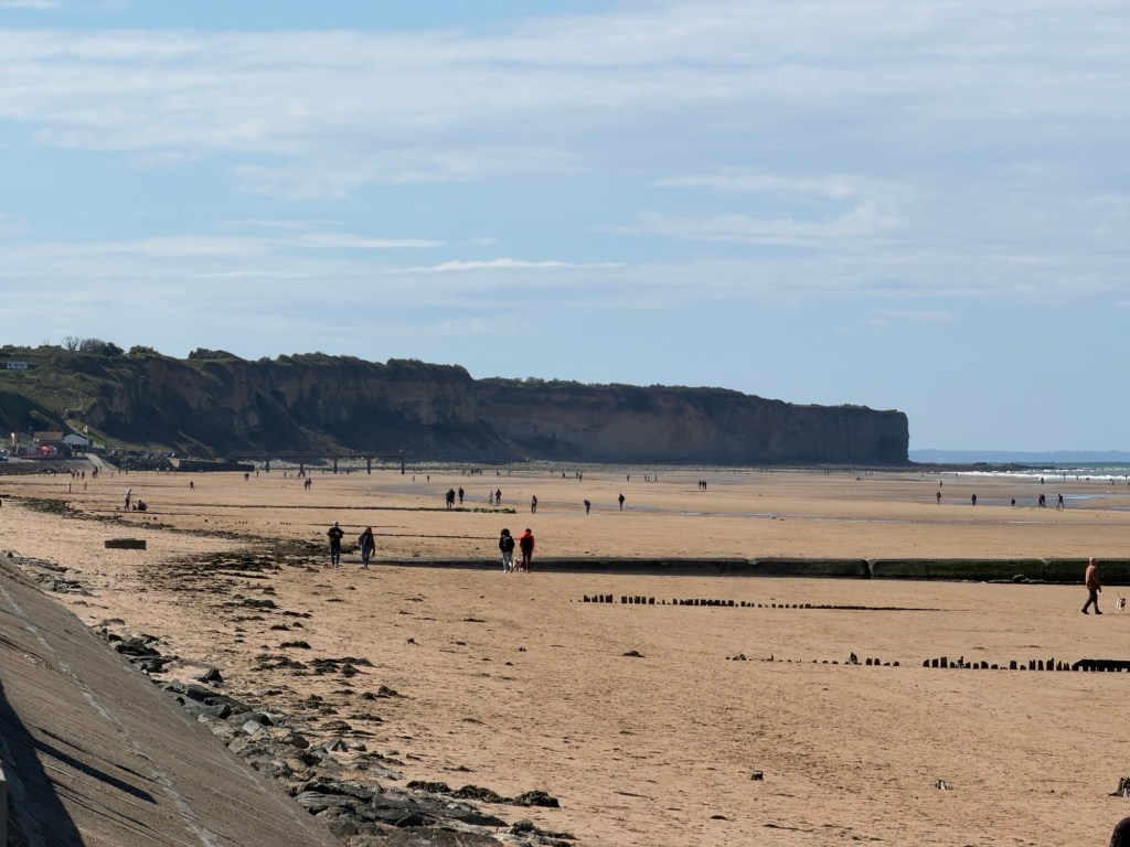
Since an undergraduate class, the first time Clare saw the fortress on an island that turned into a castle surrounded by sand, she wanted to visit it. Growing up in Southern California, she thought she understood tides. Here, however, the difference between high and low tides can be up to 50 feet, and the intertidal area is extremely flat, even flatter than other beaches we have recently explored.
Luckily, low tide was at 9:00 AM. We left our AirBnB early to have breakfast on the island.
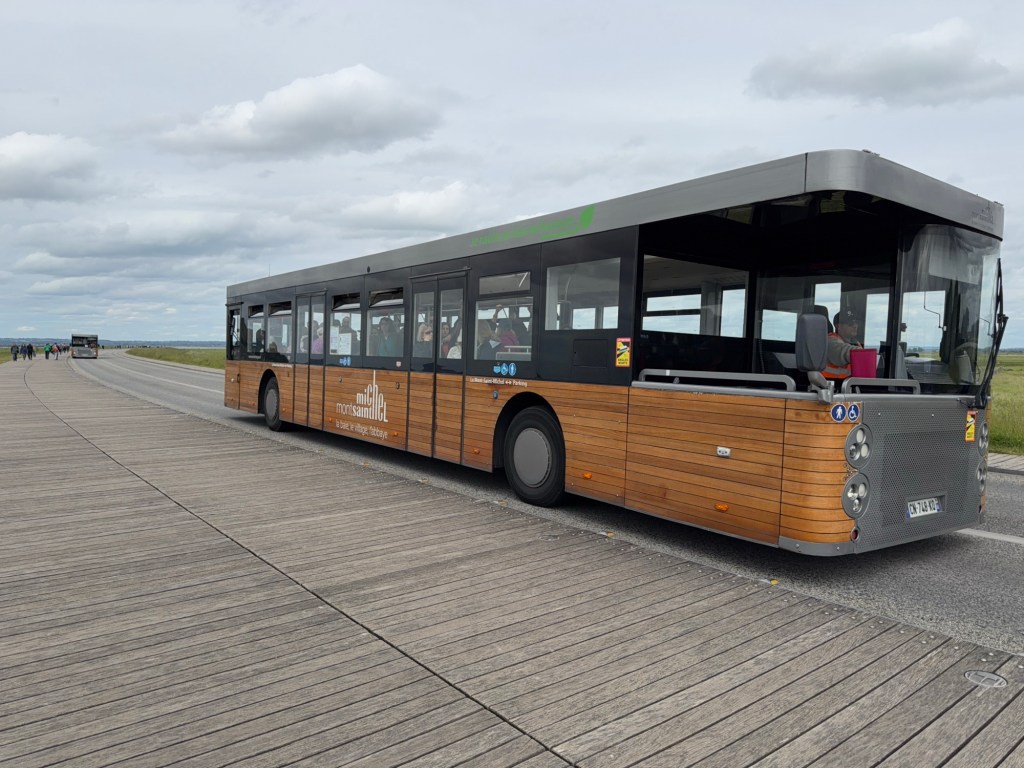
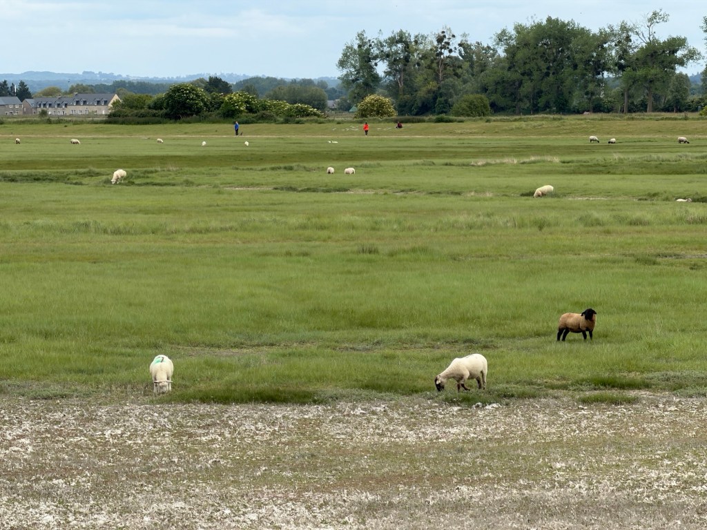
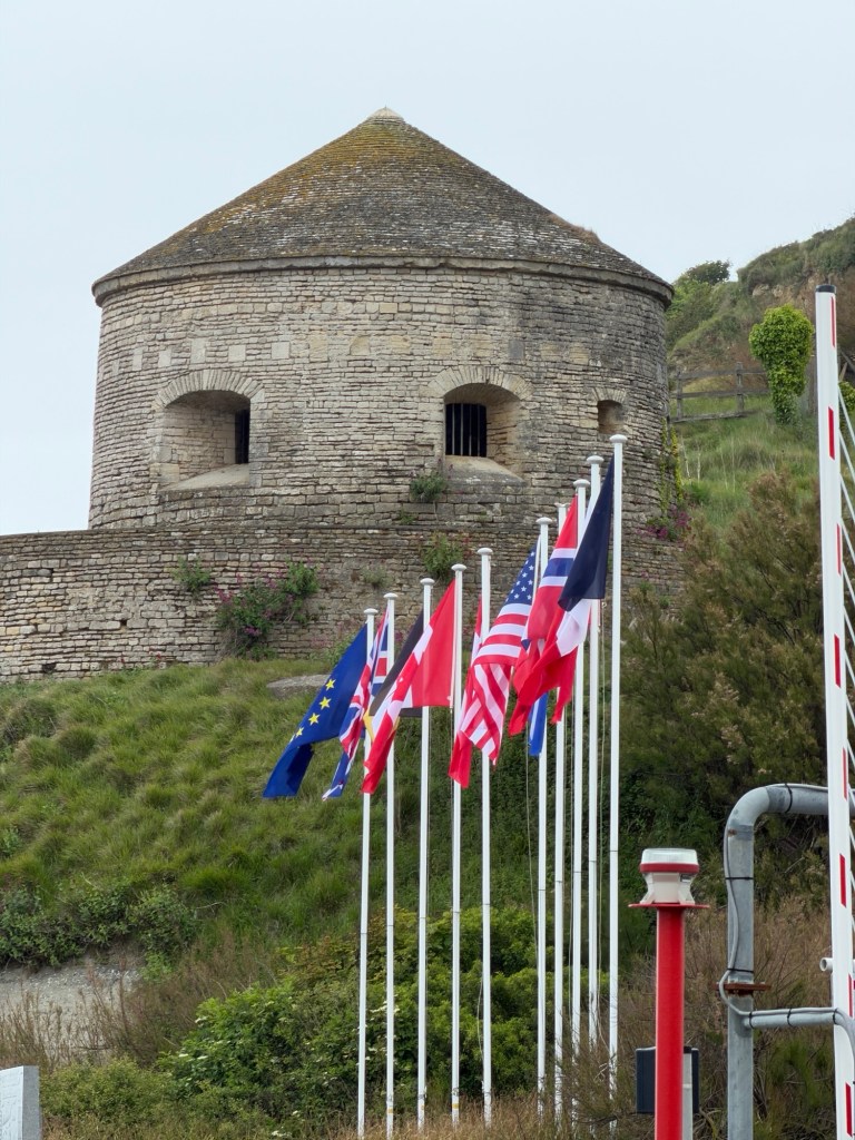
First view of Mont-St-Michel from the roadTram from parking lot to Mt-St-MichelLots of sheep grazing on salty grassWalking towards the island on the bridge
Looking around at high tide, it’s difficult to imagine this solid rock island becoming part of the continent. As the day progressed and the tide went out, it did.
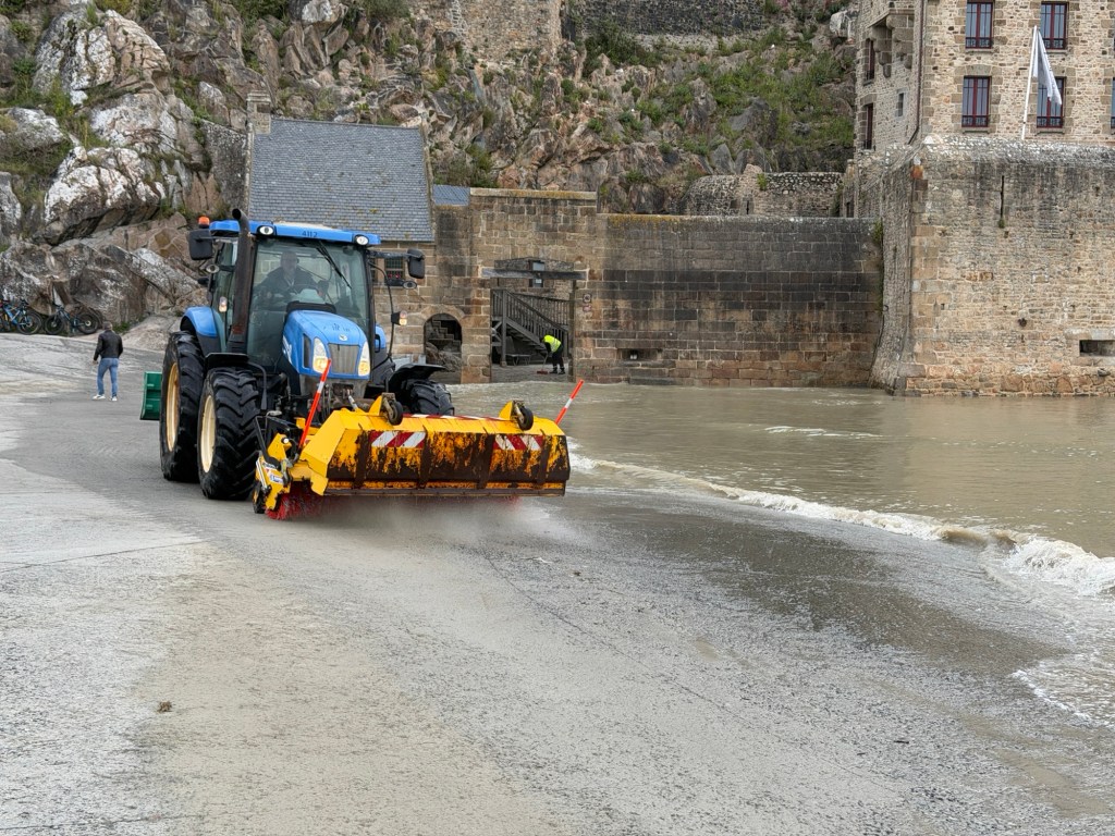
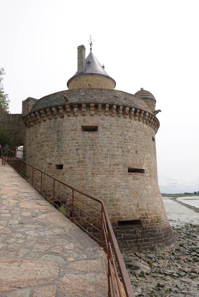
Cleaning sand off walkwayOne of the towers — note water around base
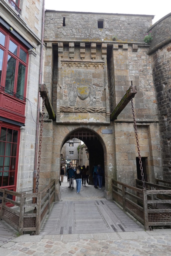
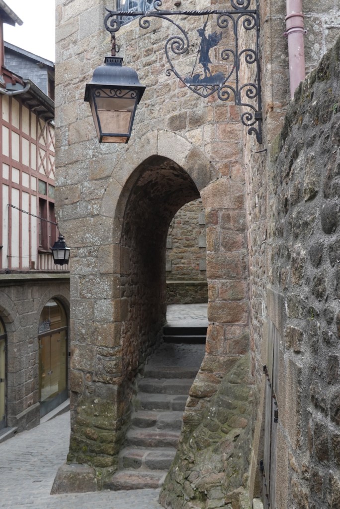
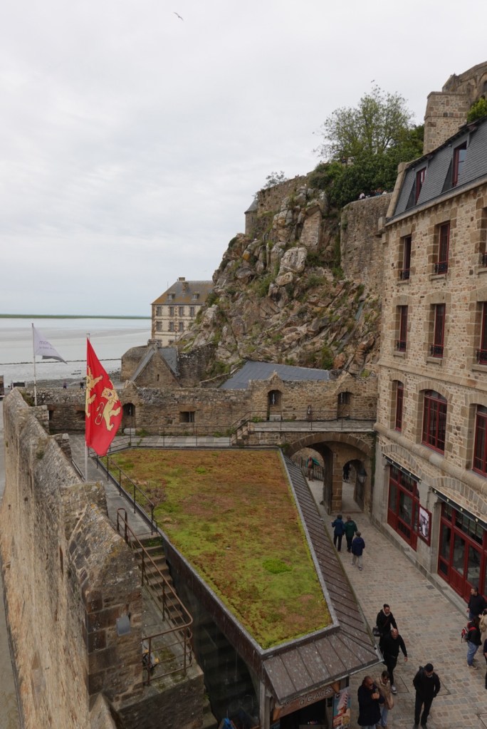
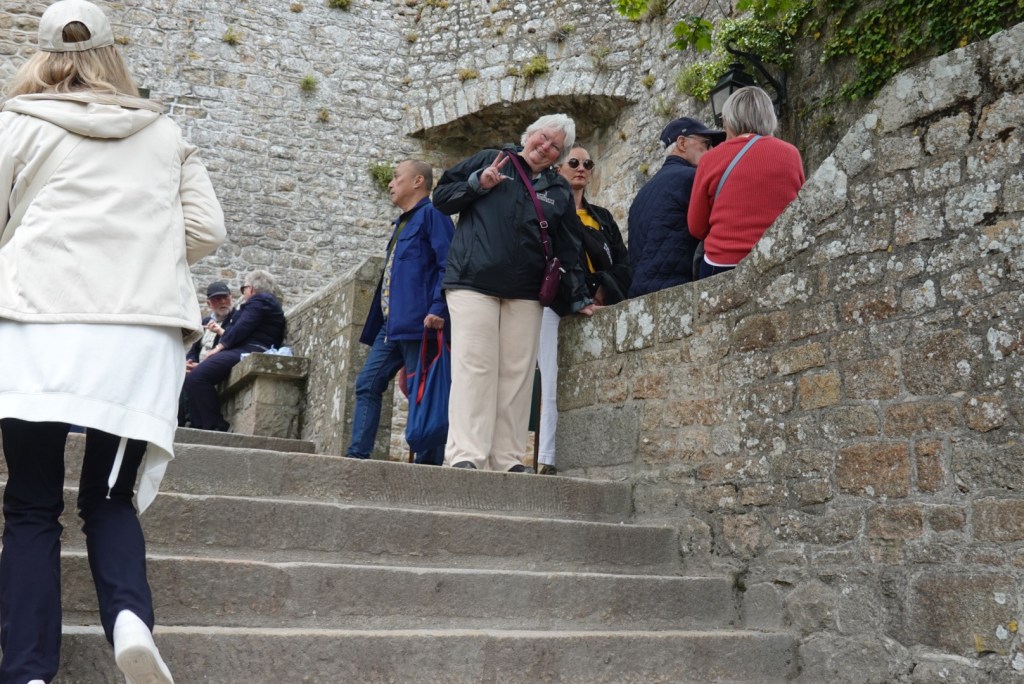
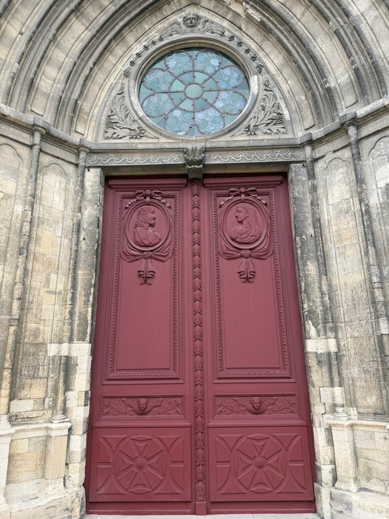
The trams from the parking lot disembark tourists on the bridge. The trams never need to turn around as they can be driven from either end! When we arrived, near high tide, the lowermost entrances were flooded, so we had to climb up a ramp initially.
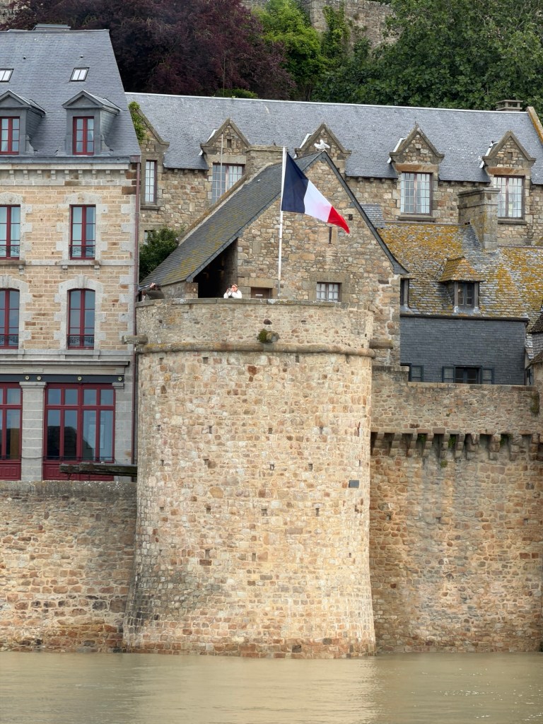
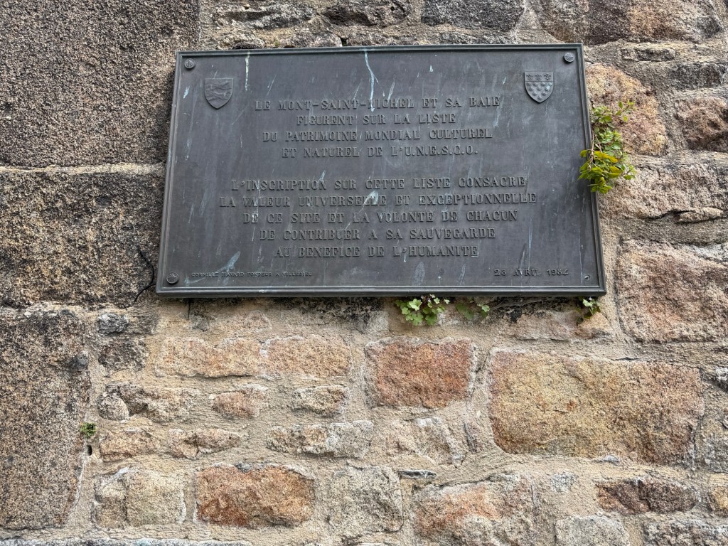
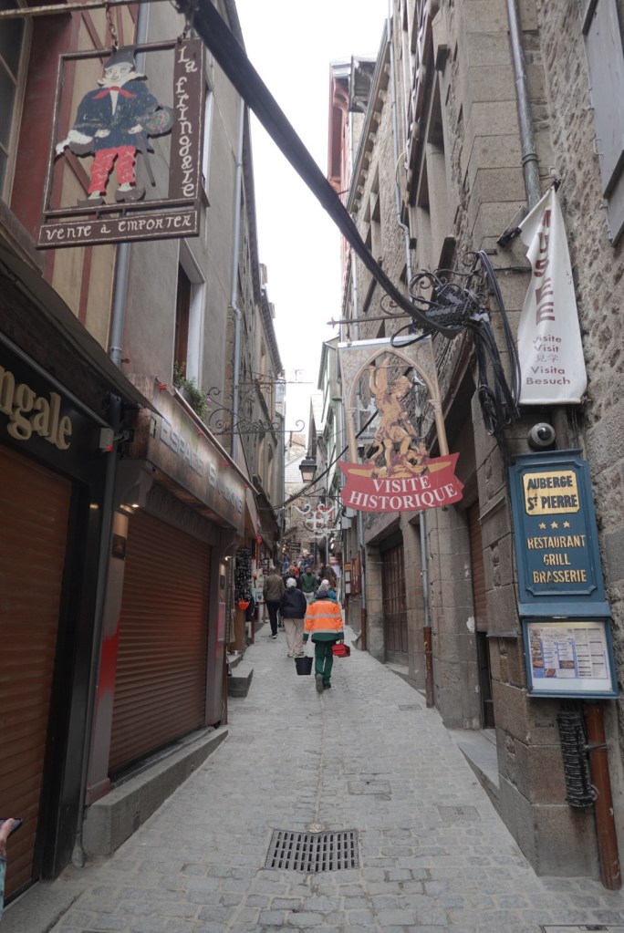
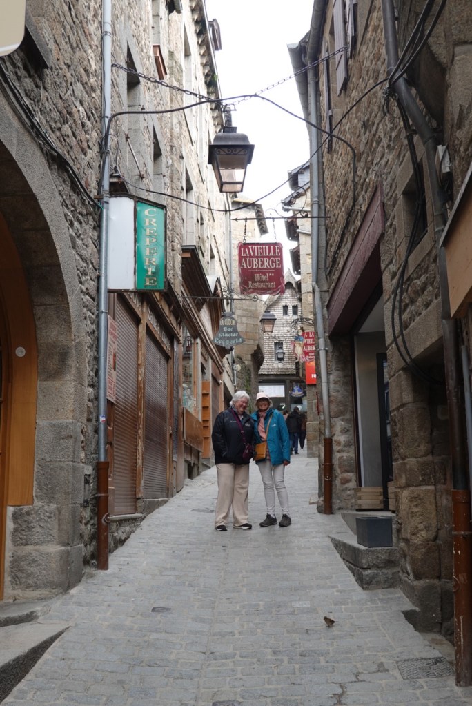
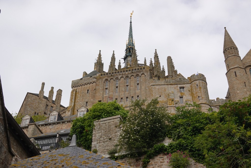
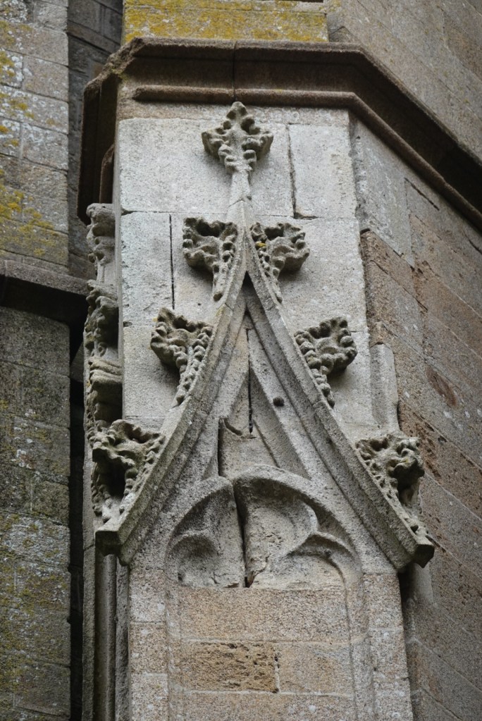
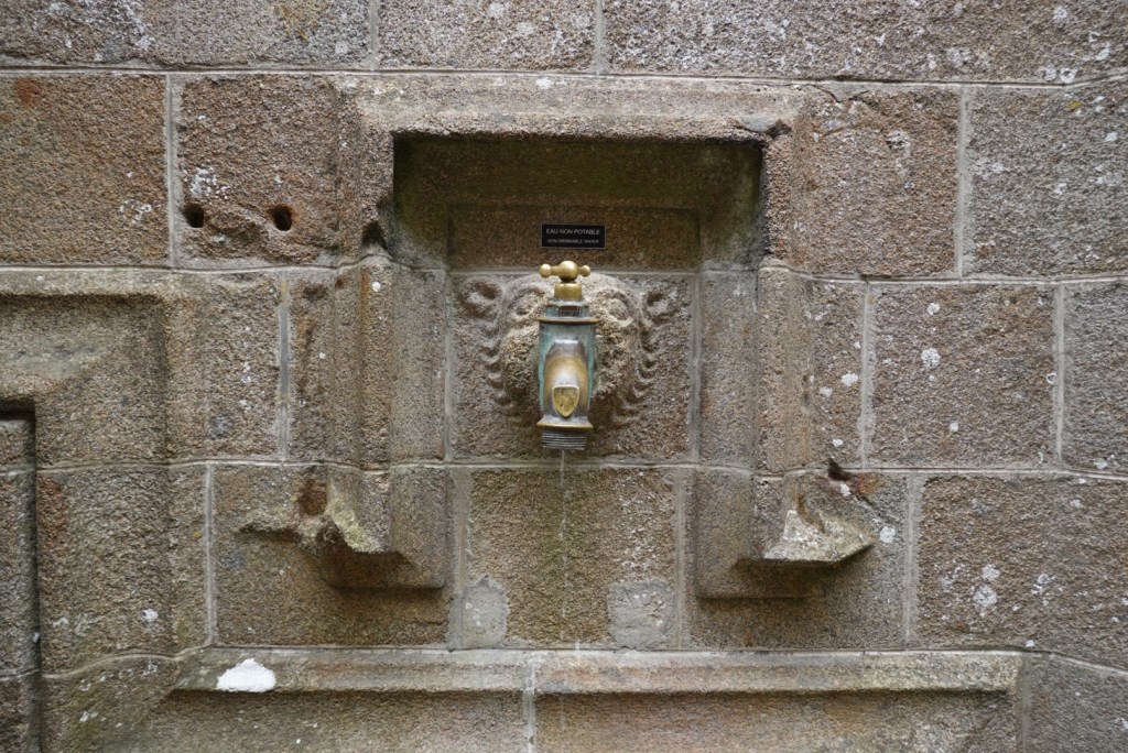
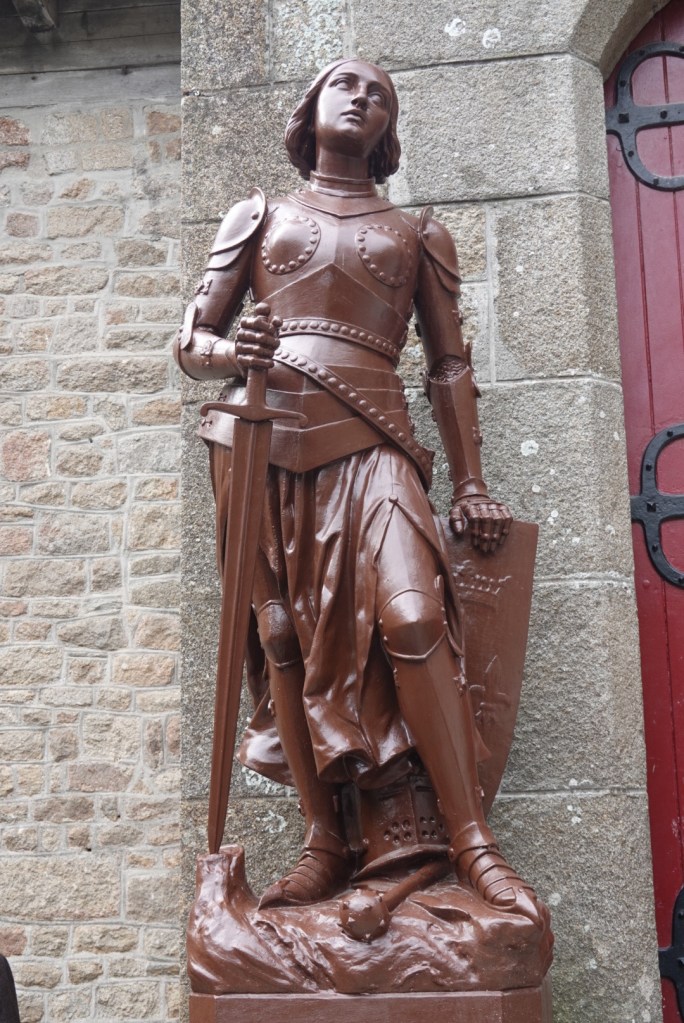
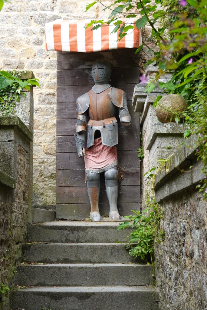
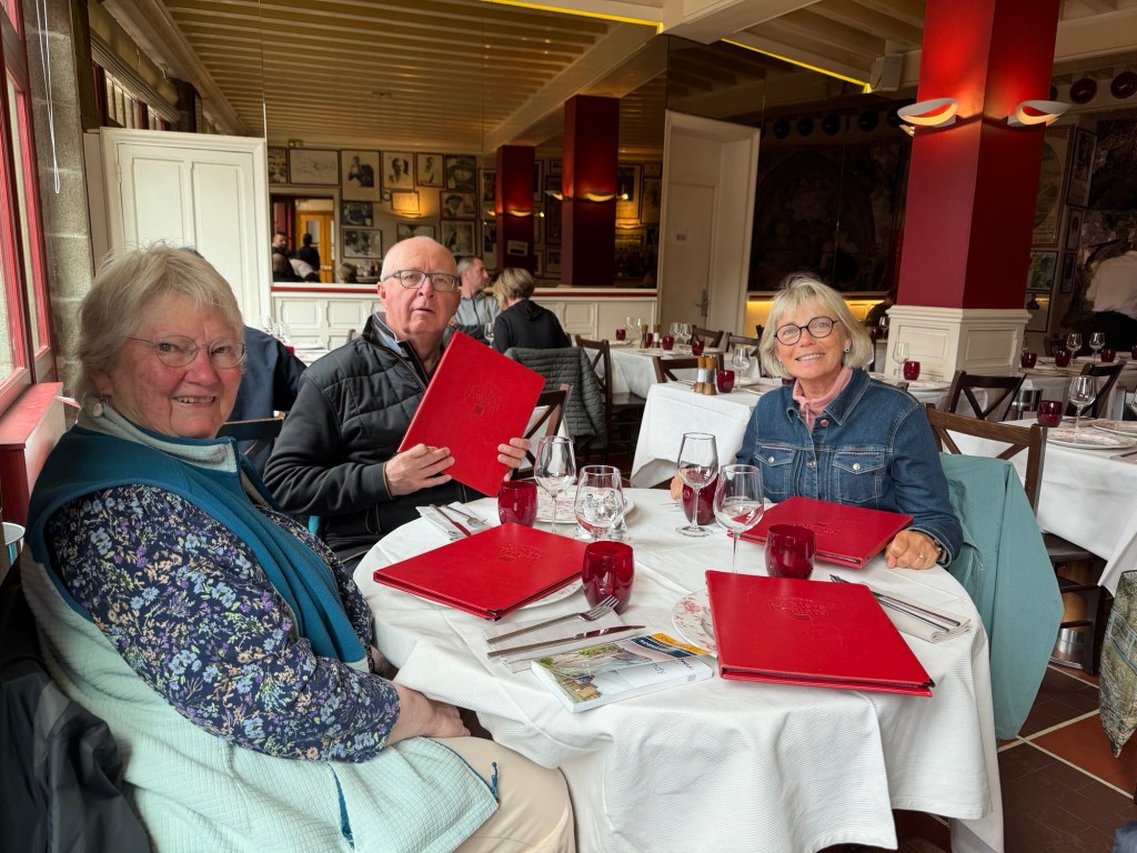
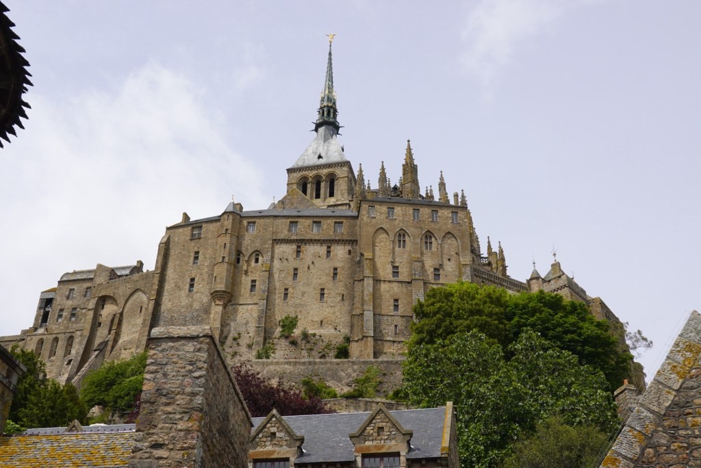
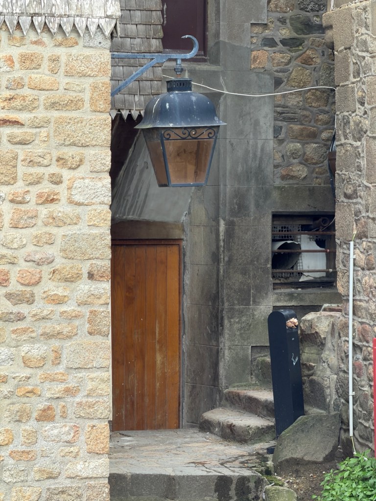
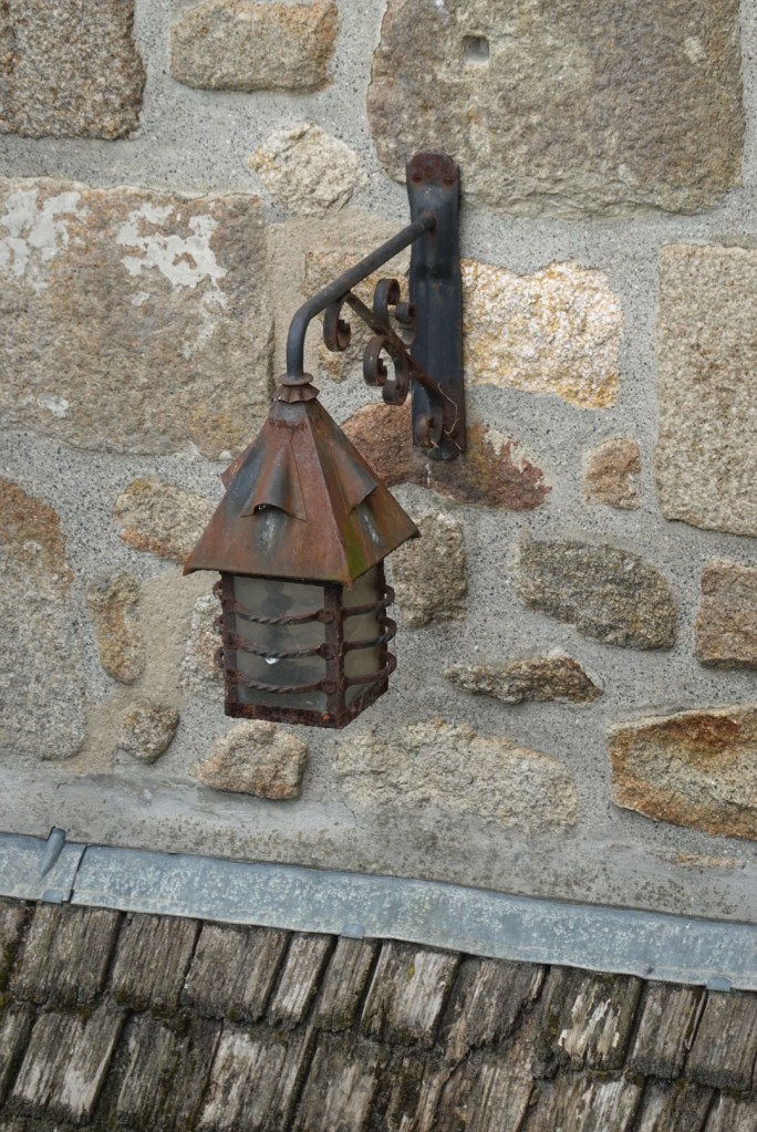
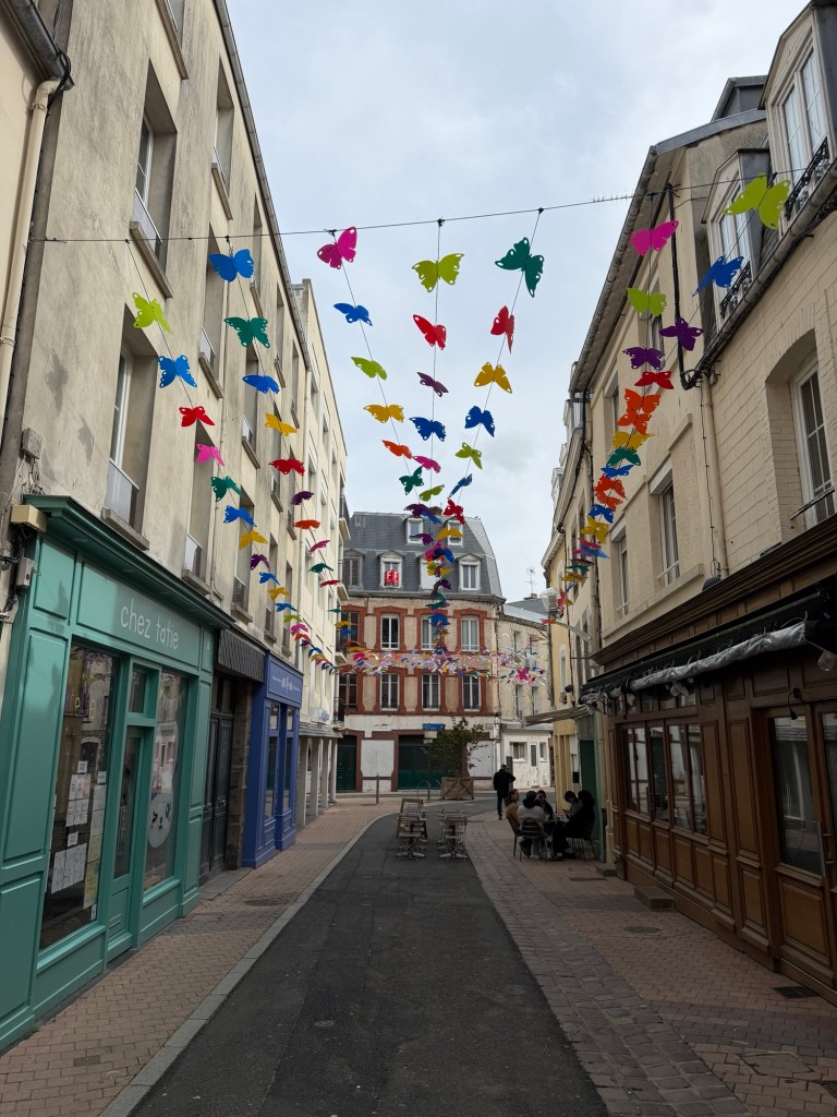
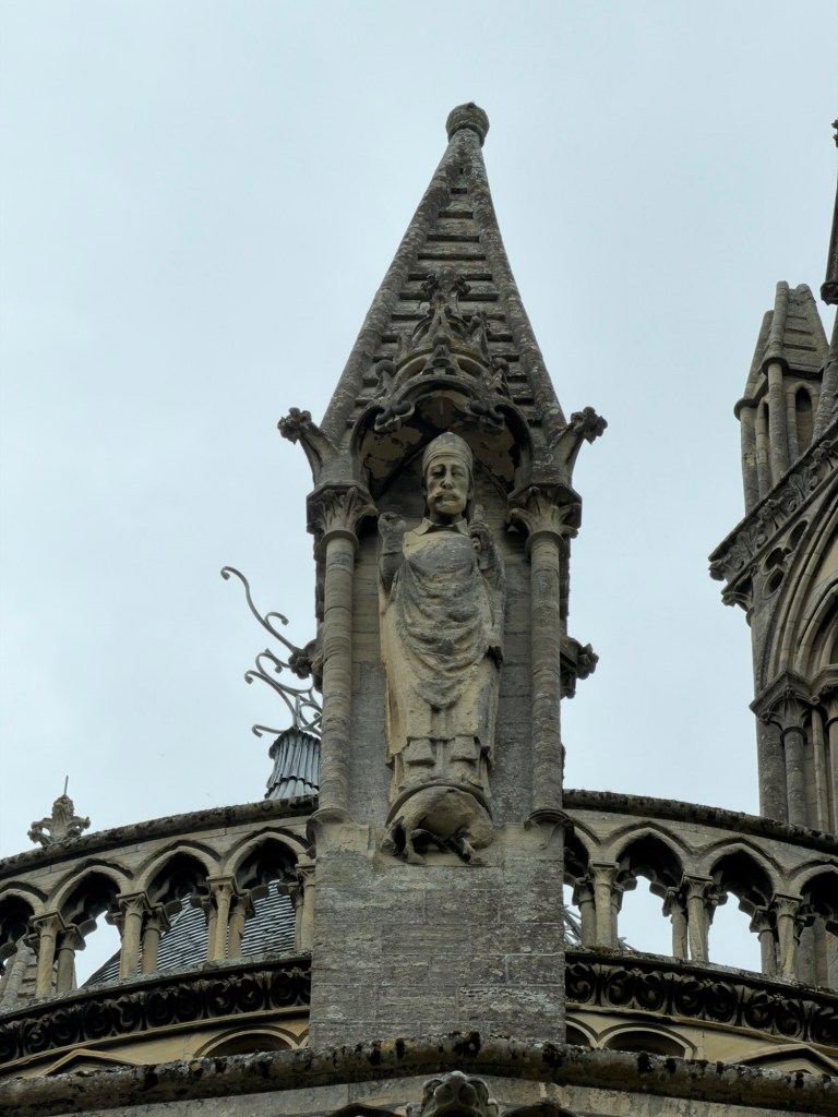
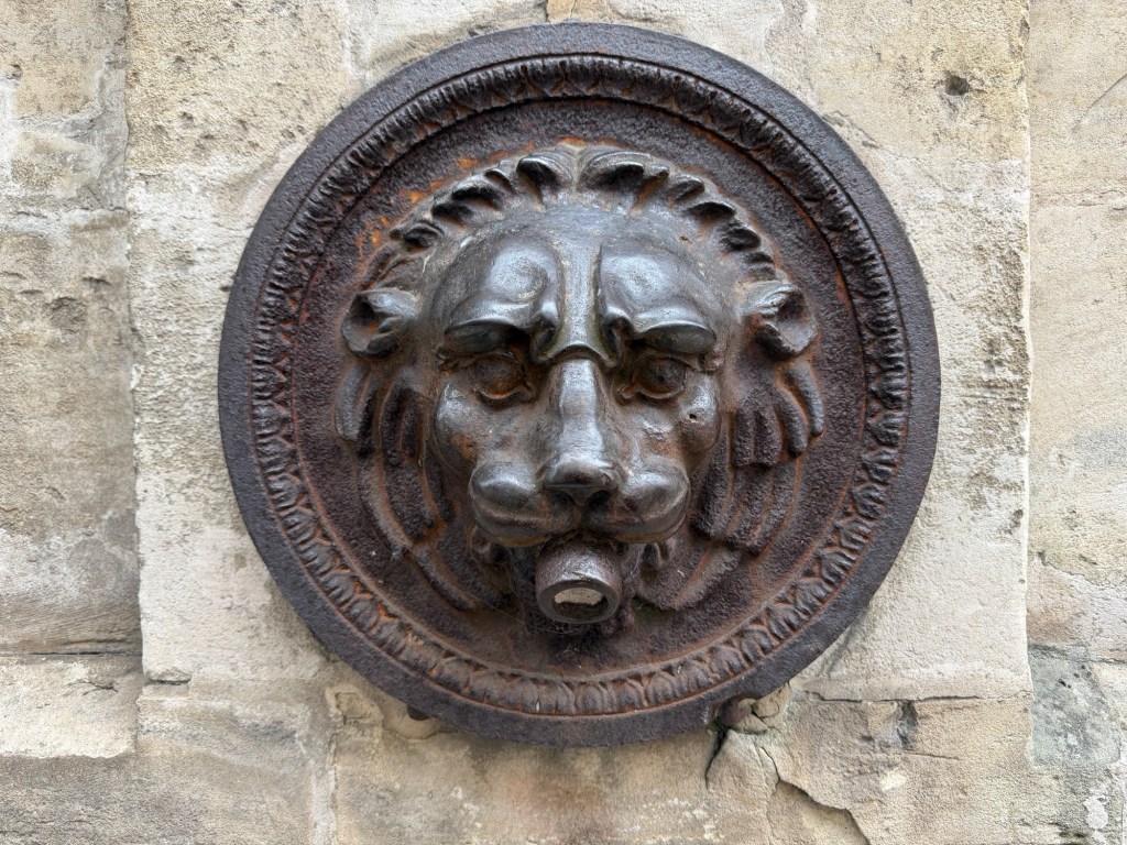
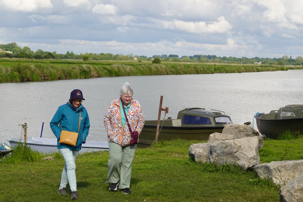
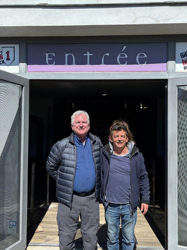
Water, water everywhere!This place became a UNESCO World Heritage Site in 1979.Part of the old drawbridgeMany shopsClare and JoëlleFirst view of the abbey on the summitLamp with St. MichaelFancy stone ornamentationLion water spigotJoan of Arc statue placed when she became a saint in 1909A knight in not-so-shiny armor!
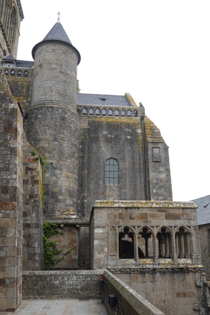
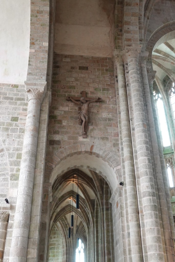
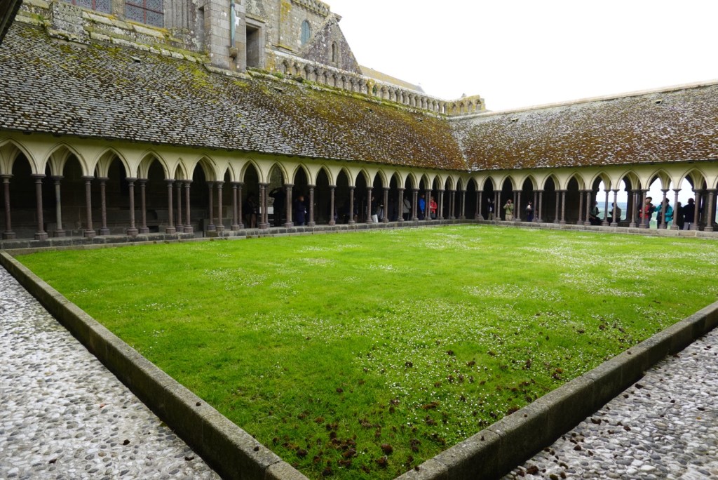
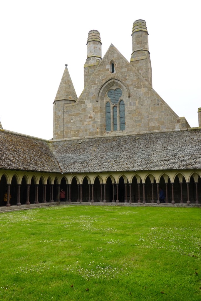
After climbing up many staircases, we reached the west terrace of the abbey. It is here only because a fire destroyed the west end of the church in 1776.
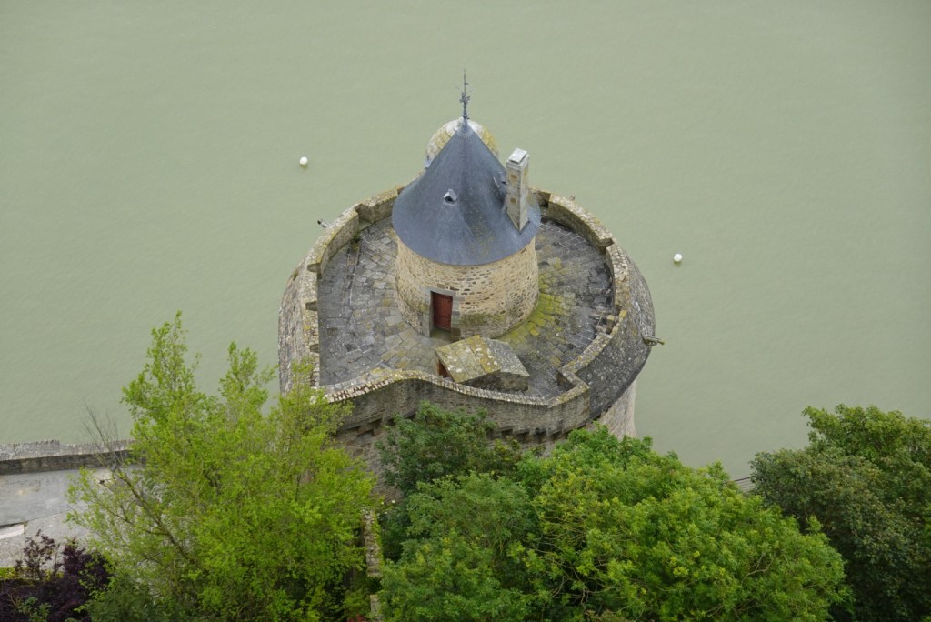
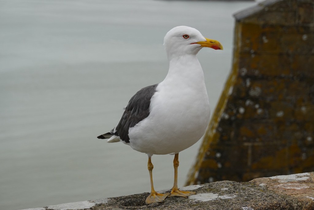
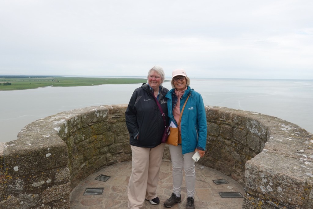
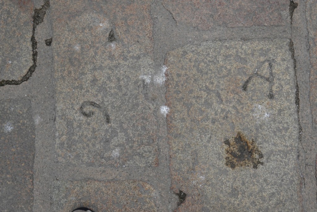
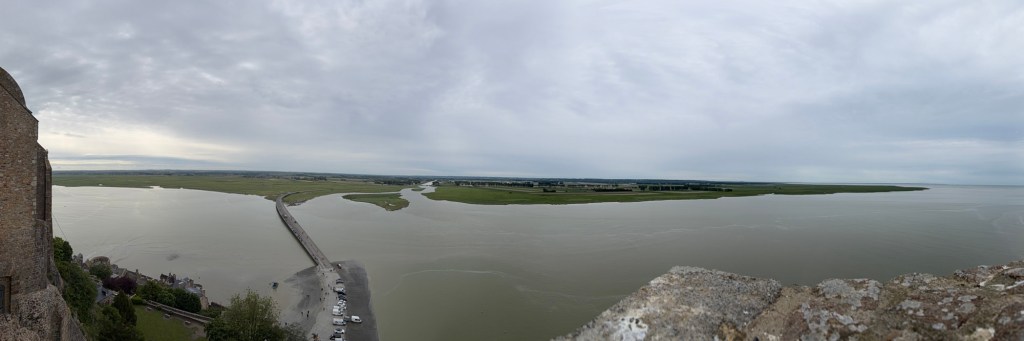
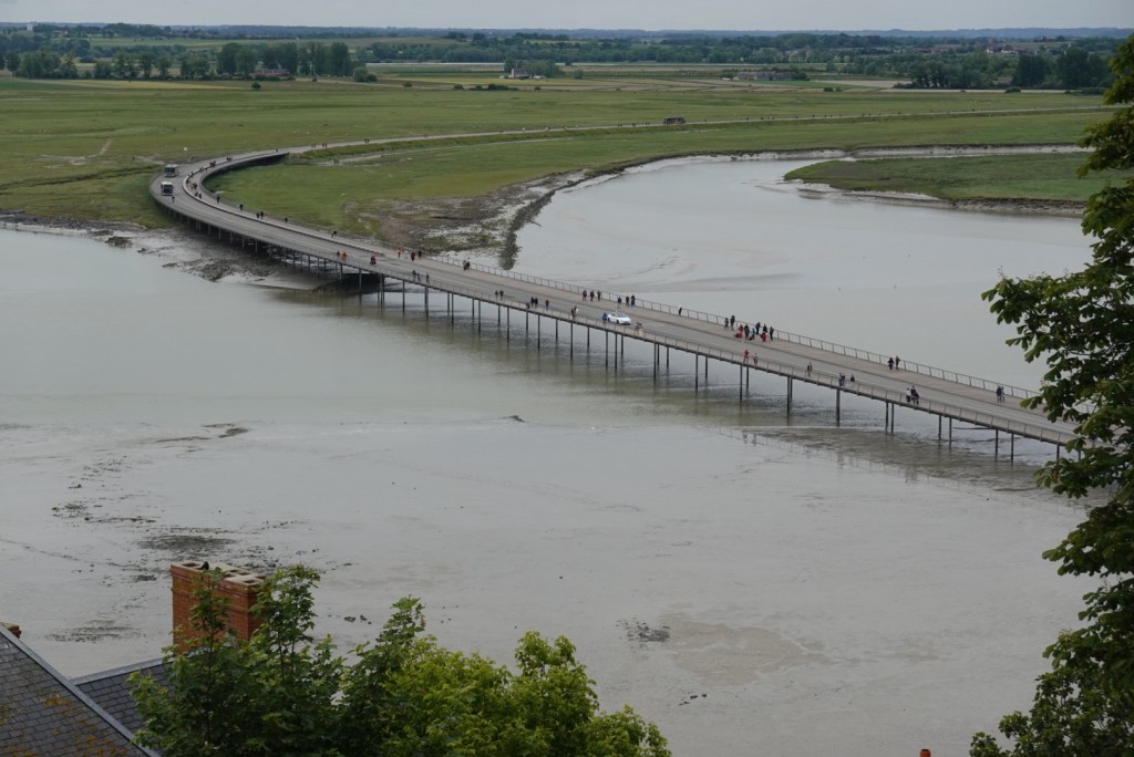
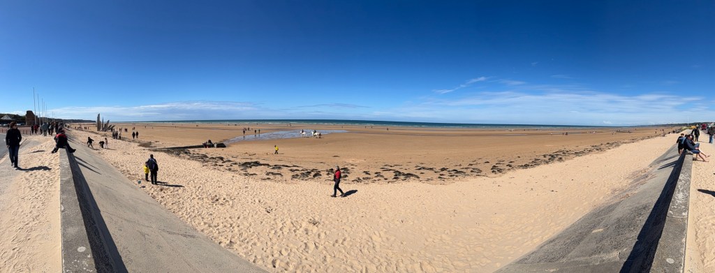
Looking down on a towerLooking down at the bridge installed in 2014Posing gullClare and JoëlleStone mason’s marks on terrace stonesPanorama of the bay and adjacent shore
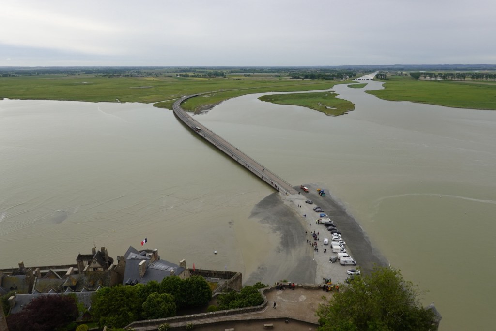
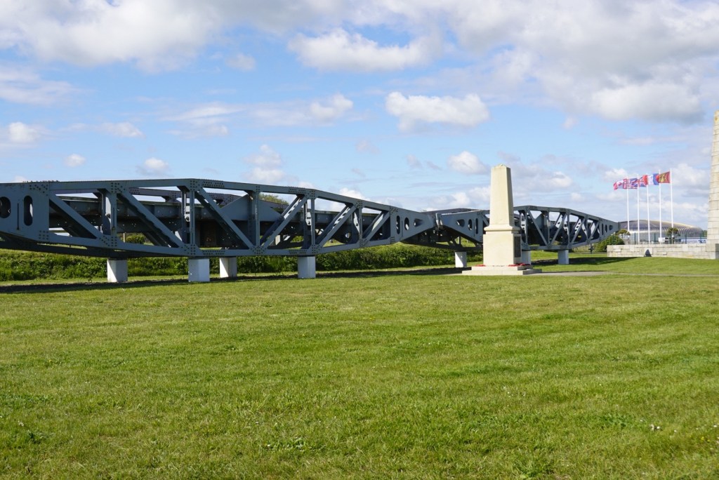
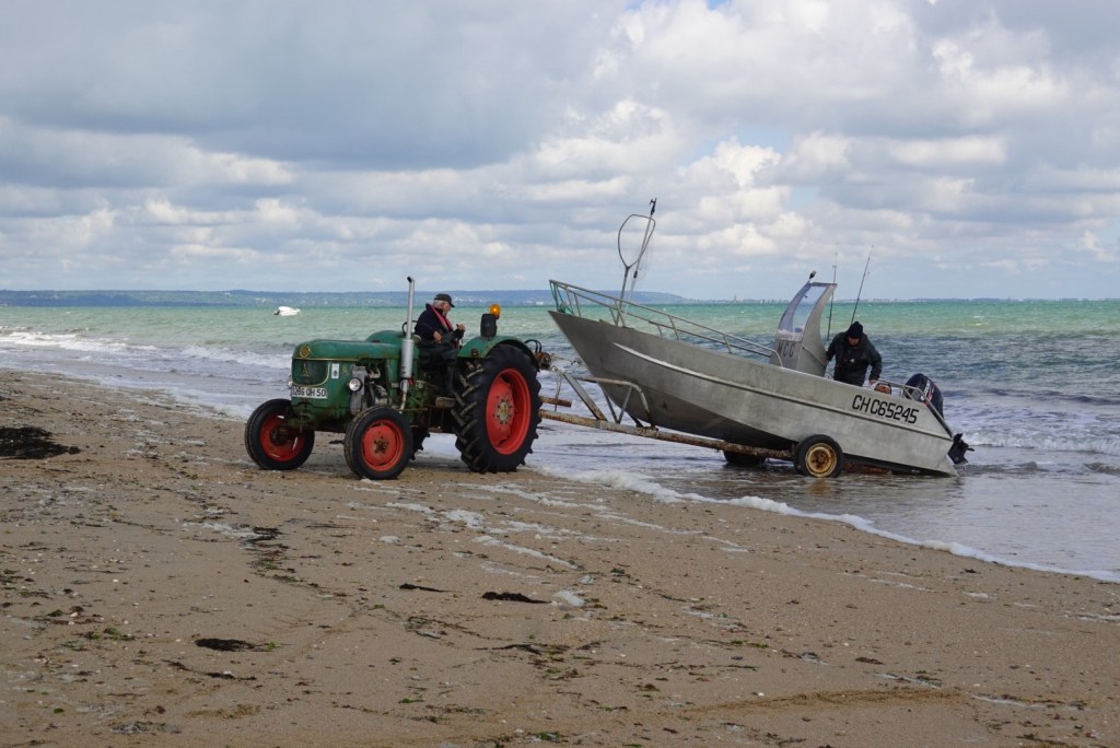
Years before, humans built a road to the fortress, which blocked the flow of water. Both Marc and Joëlle remember visiting here as children and driving right out to the base of this fortress. Later, in 2014, engineers changed the road into a bridge to allow water to flow around the island and prevent the build-up of mud and sand..
We enjoyed exploring every part of the island-castle-fortress.
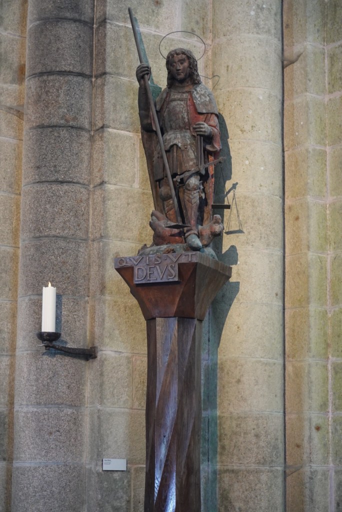
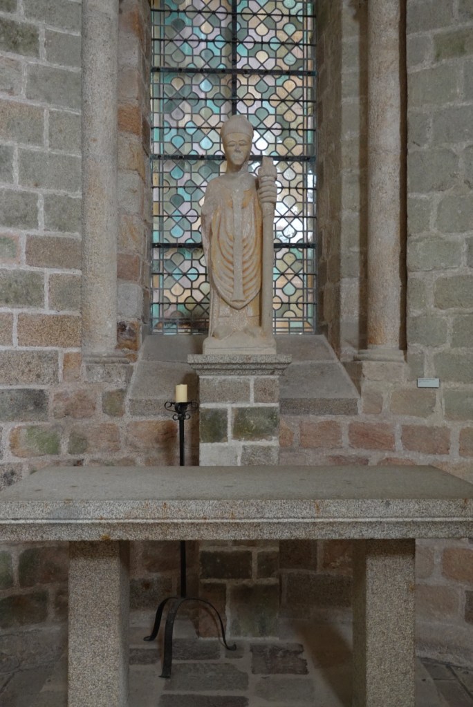
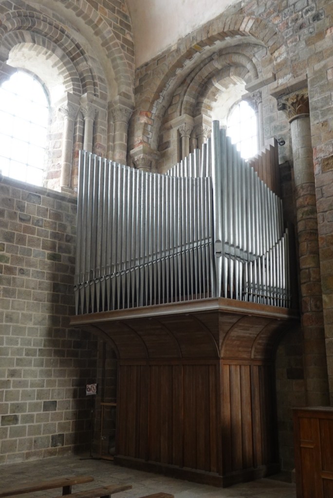
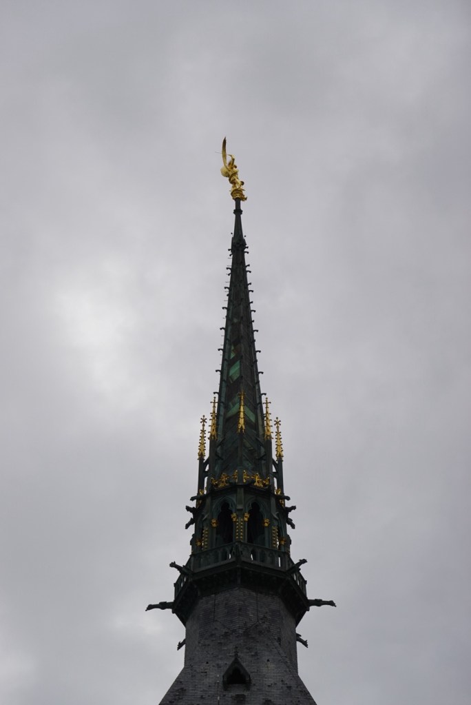
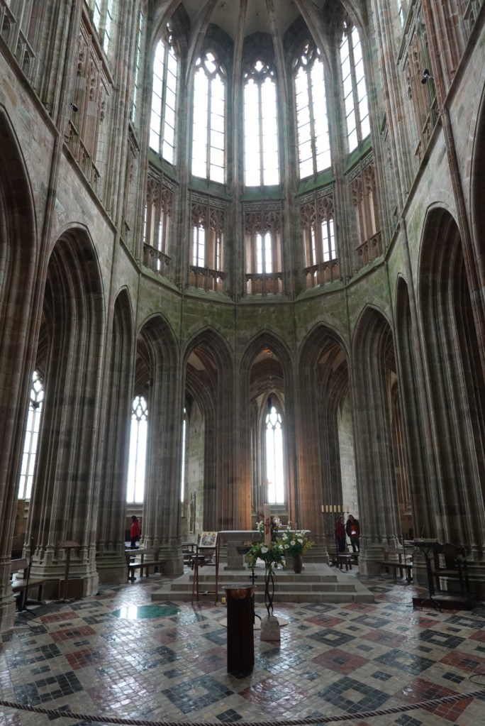
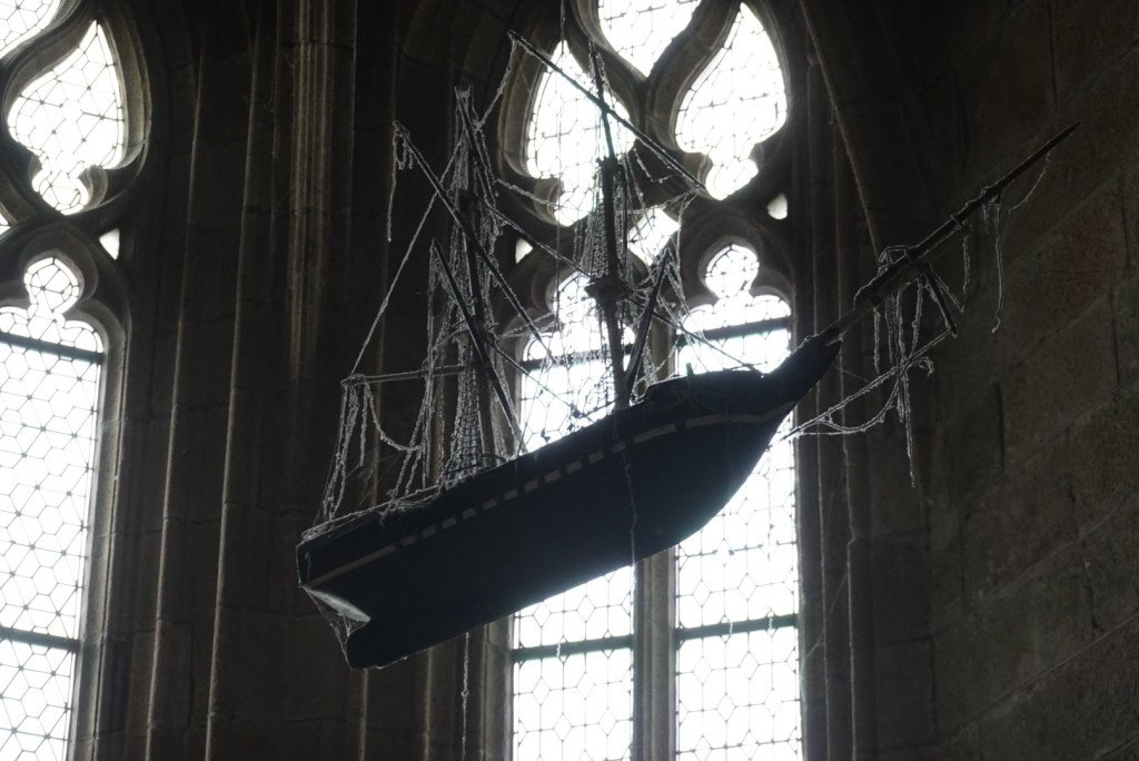
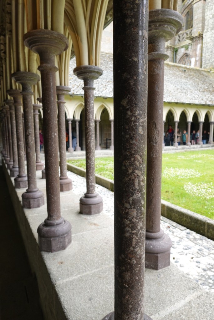
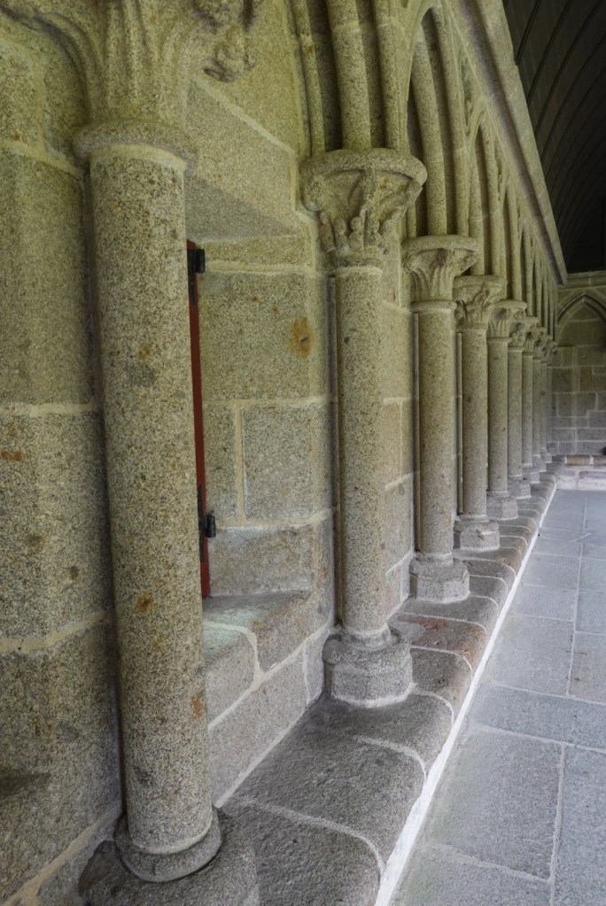
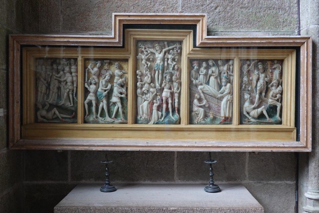
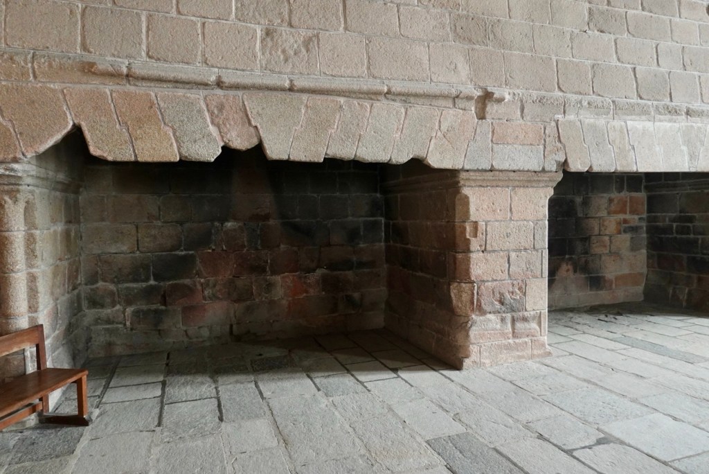
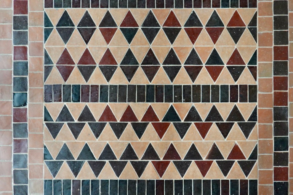
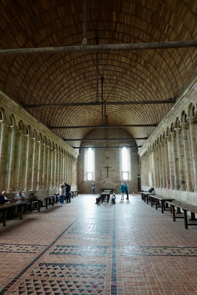
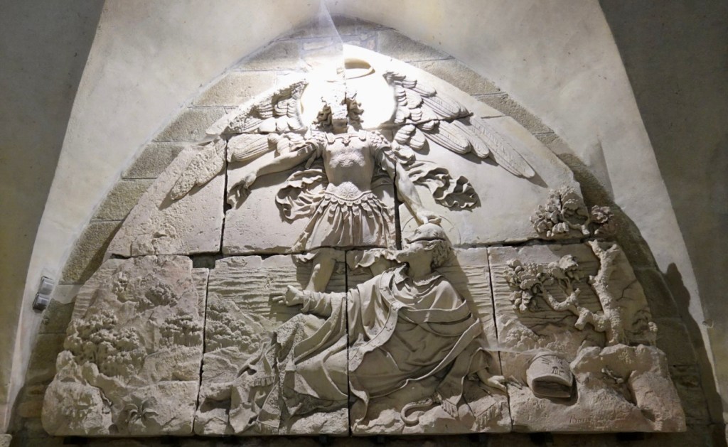
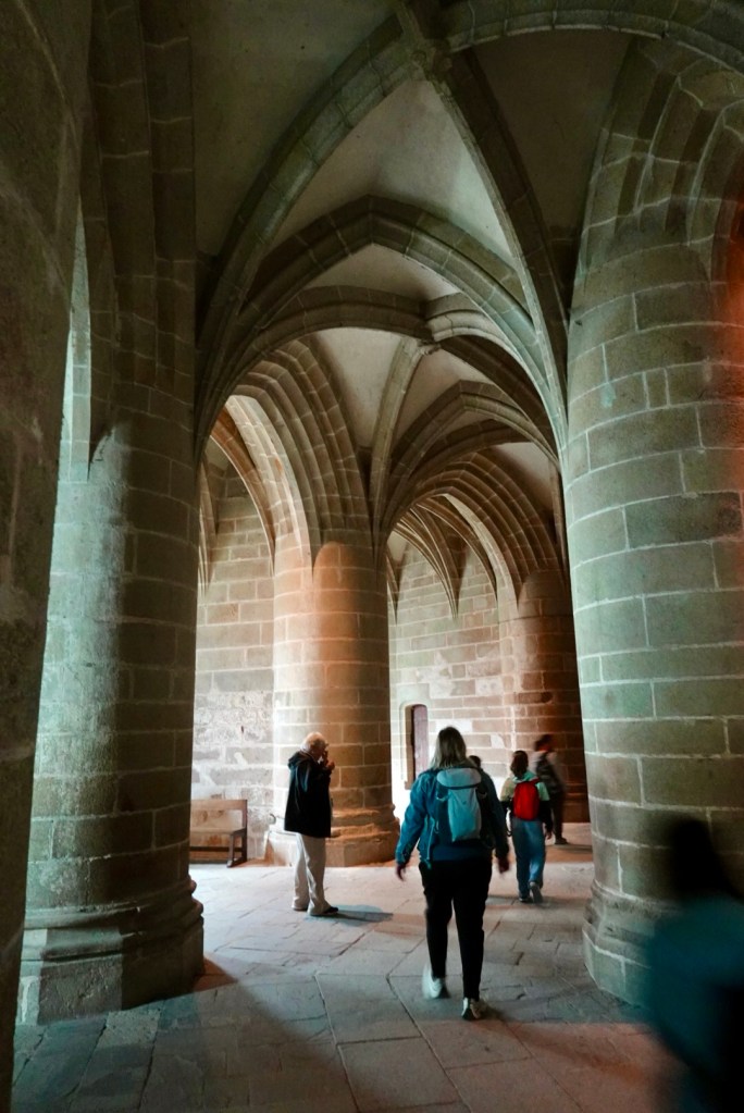
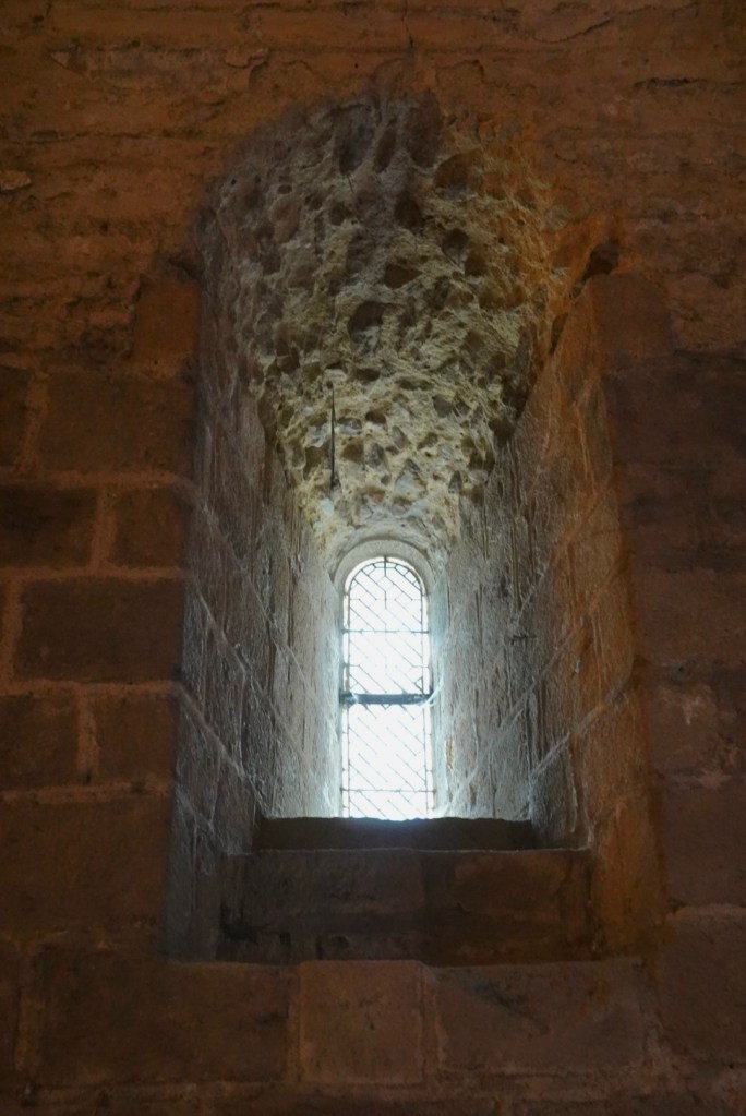
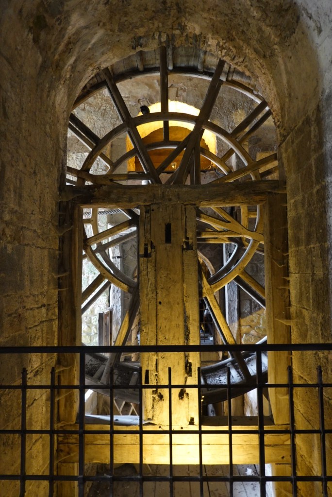
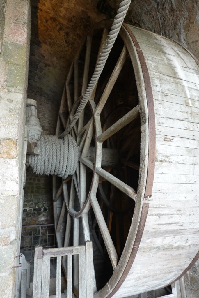
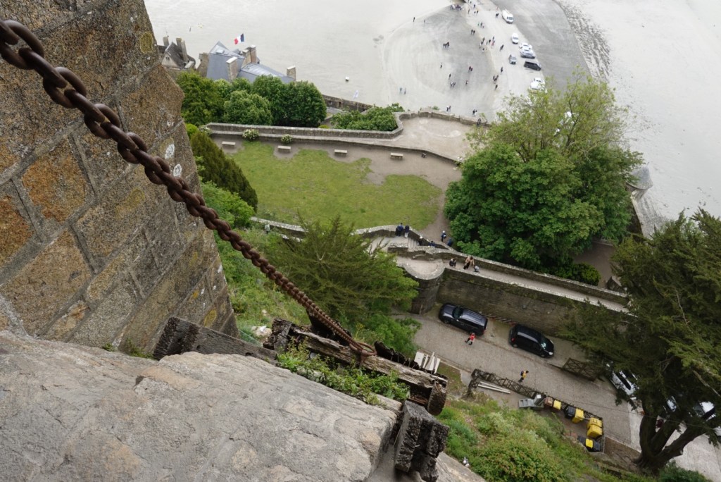
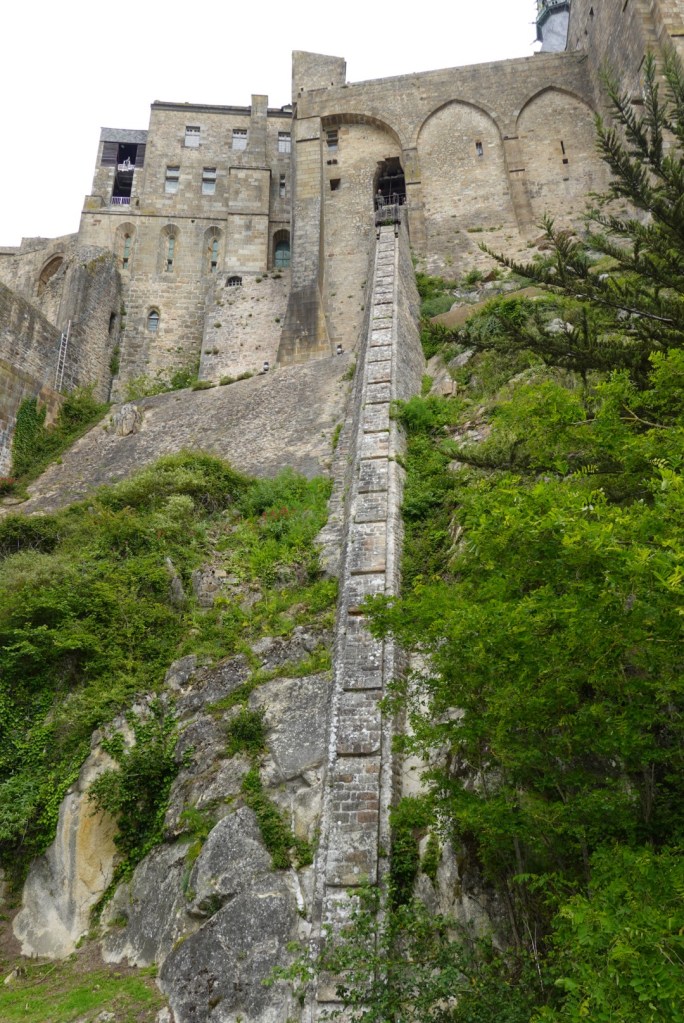
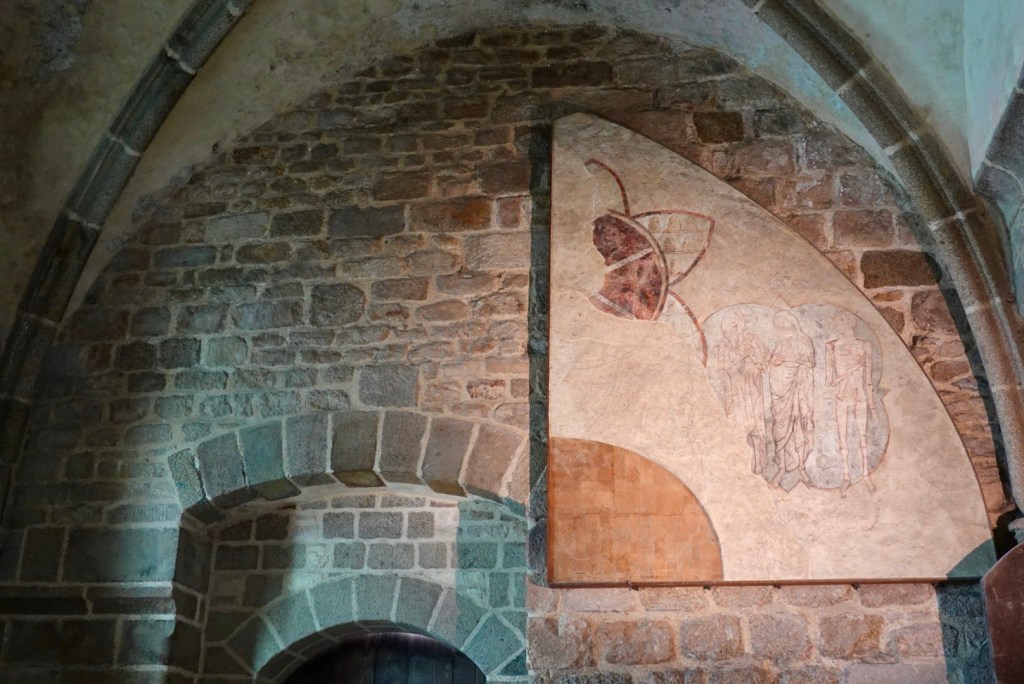
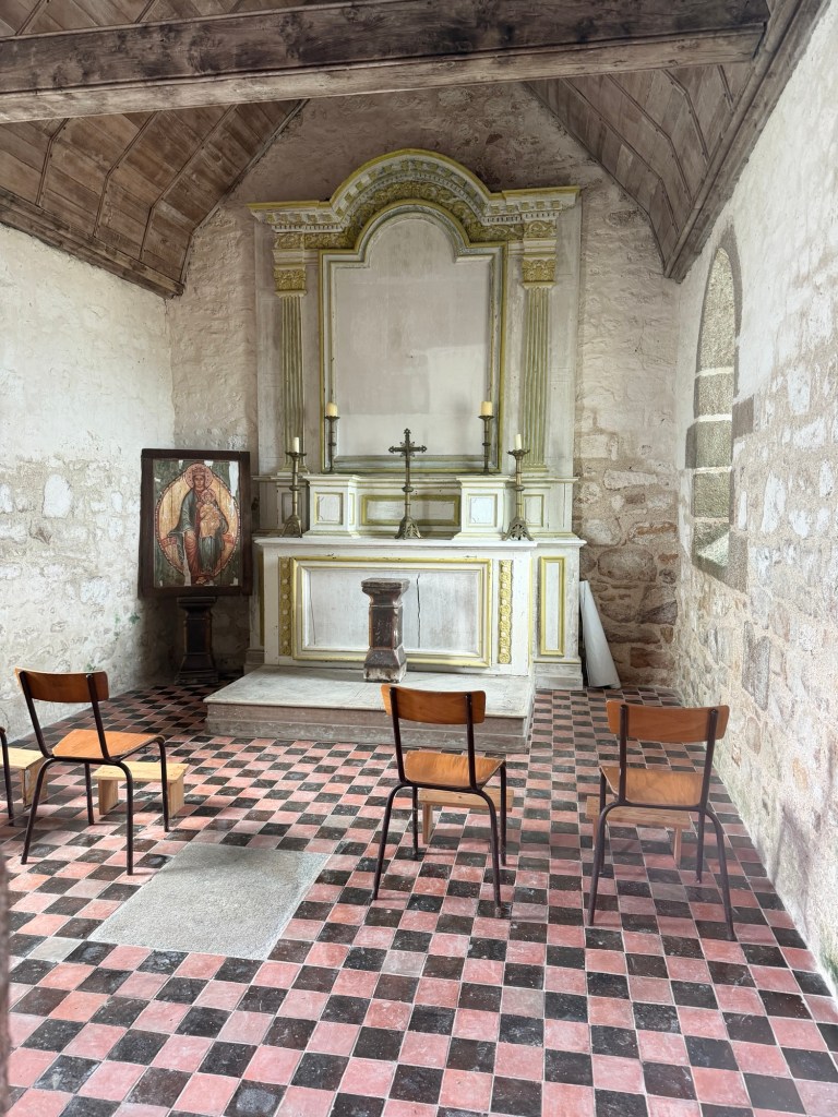
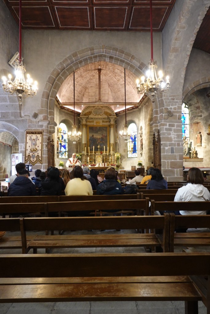
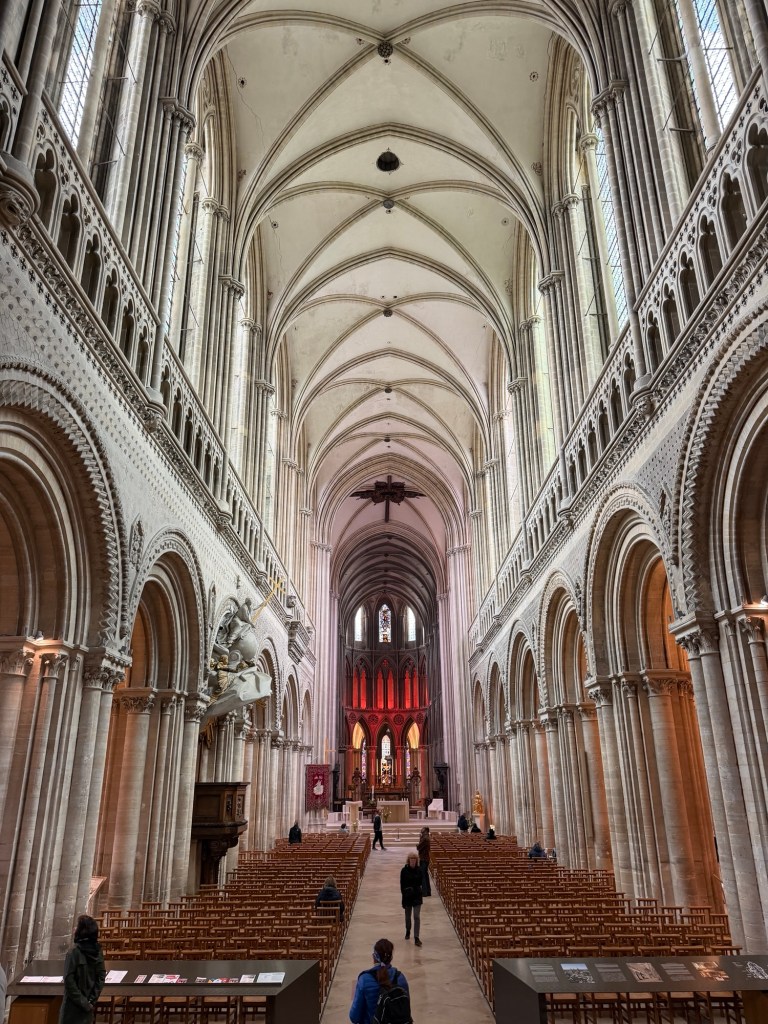
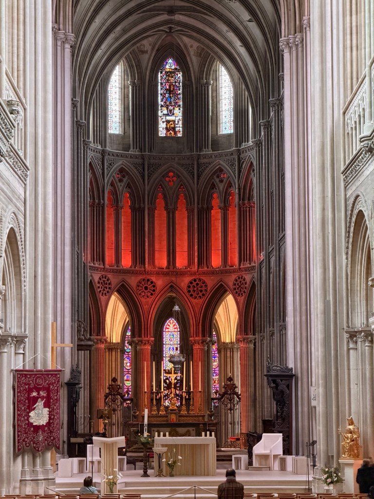
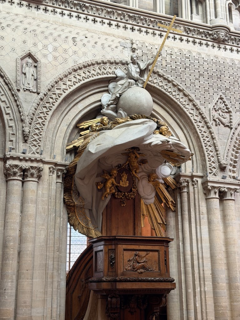
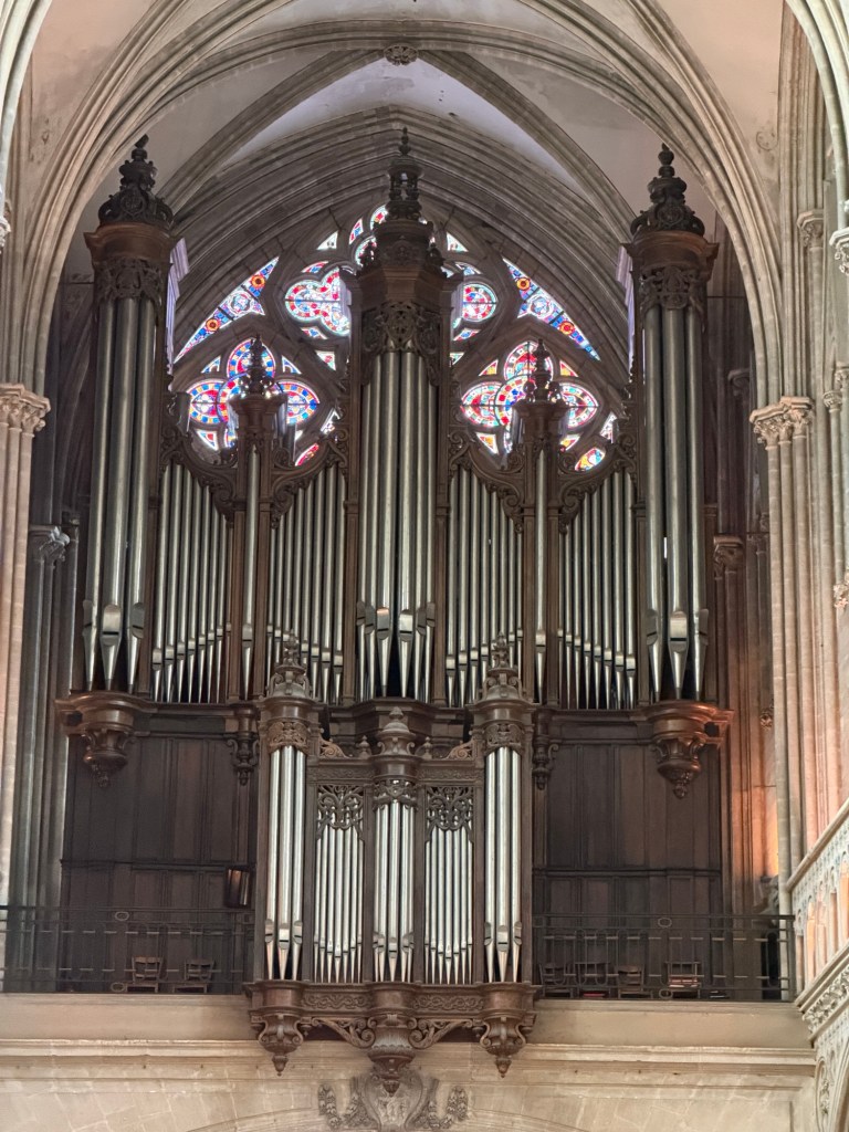
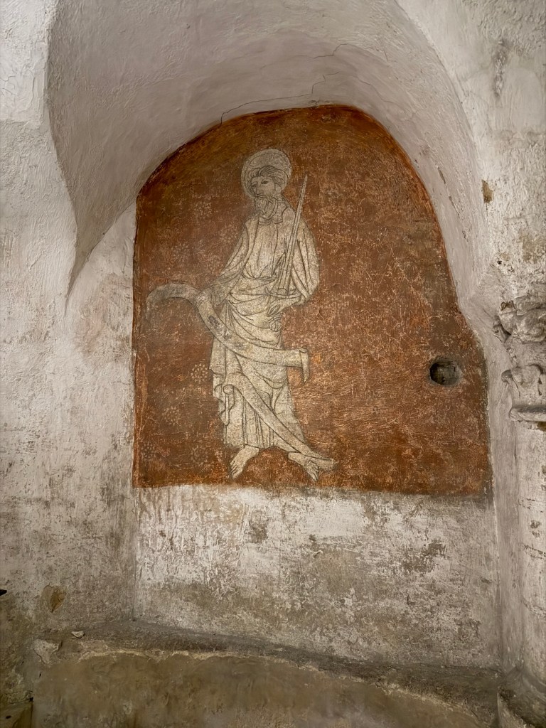
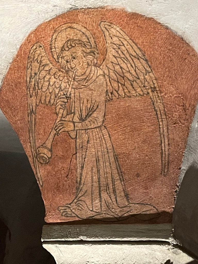
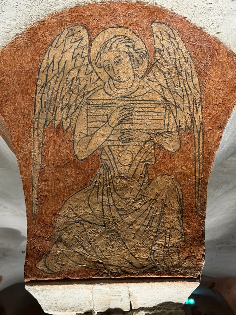
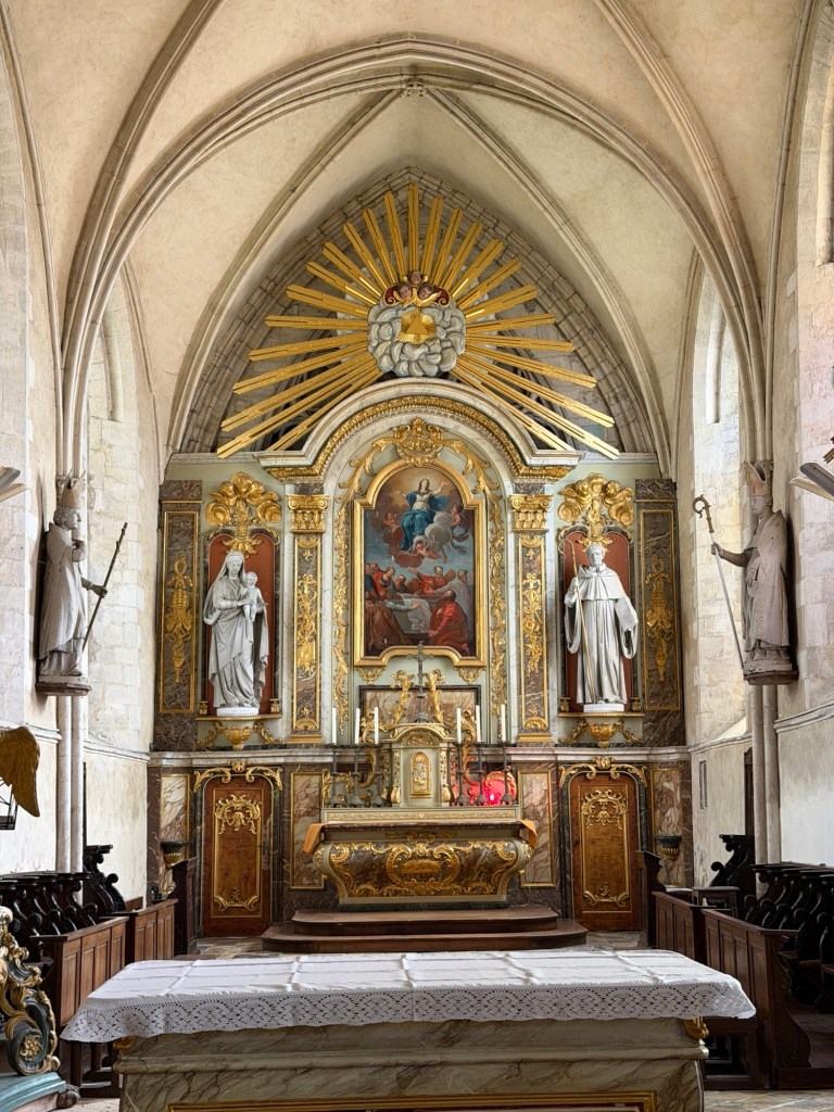
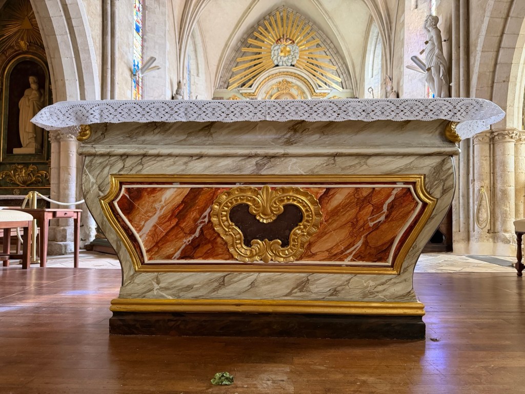
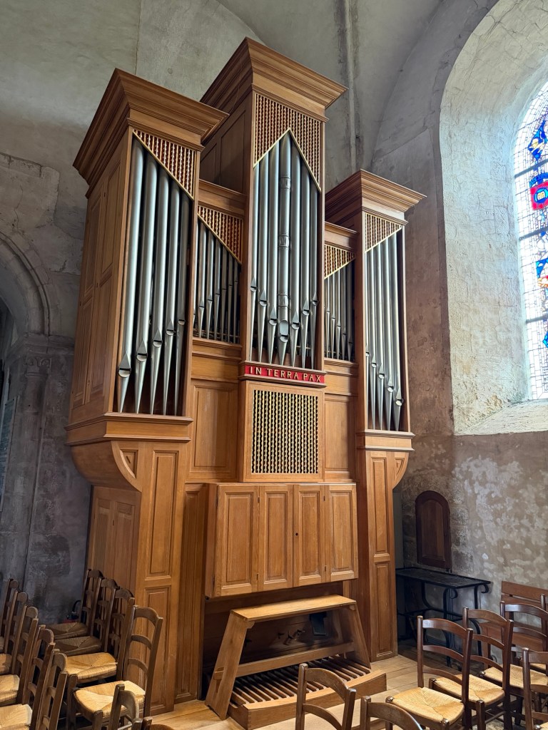
St. MichaelSt. Aubert, founder of the abbeyAn unusual layout for a pipe organ!The current church is not fancy, dating from the 12th to 15th centuries.Façade rebuilt in 1784Steeple, St. Michael on topAltarSuspended pirate ship?The cloister, with different columns on the inside and outside. The pillars were offset, minimizing the possibility of monks accidentally seeing each other.Carvings in a side chapelHuge fireplaces to heat the large room used to greet royal guestsFloor tile patternsMonks ate their meals here while one read from scriptures.Carving depicting Archangel Michael putting his thumb on St. Aubert’s head to convince him to construct the abbey here.Huge pillars support part of the church aboveThick wallsReplica of the wheel turned by imprisoned monksImagine treading on the inside of the wheel with another monkLooking down at the hoist operated by the wheelLooking up at the hoist cablewayRemnant of 13th century fresco
A group of musicians were performing for school children in a multi-story hall as we left the abbey.
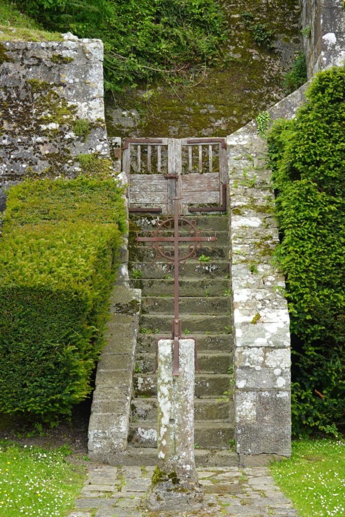
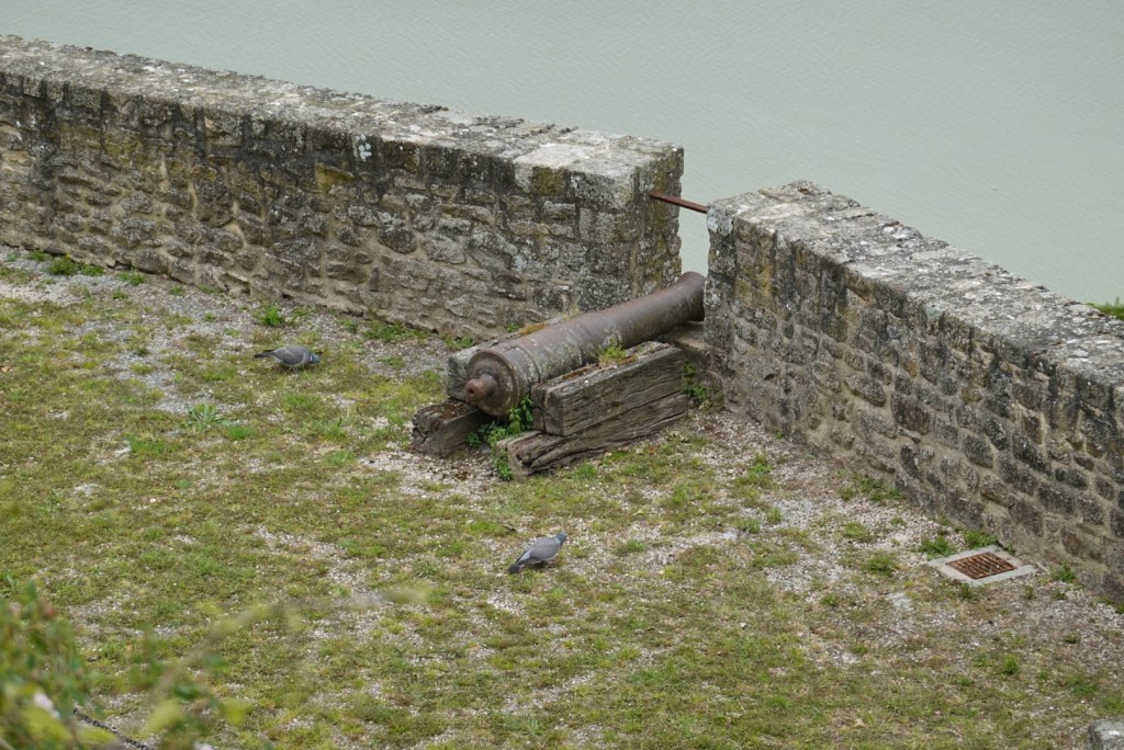
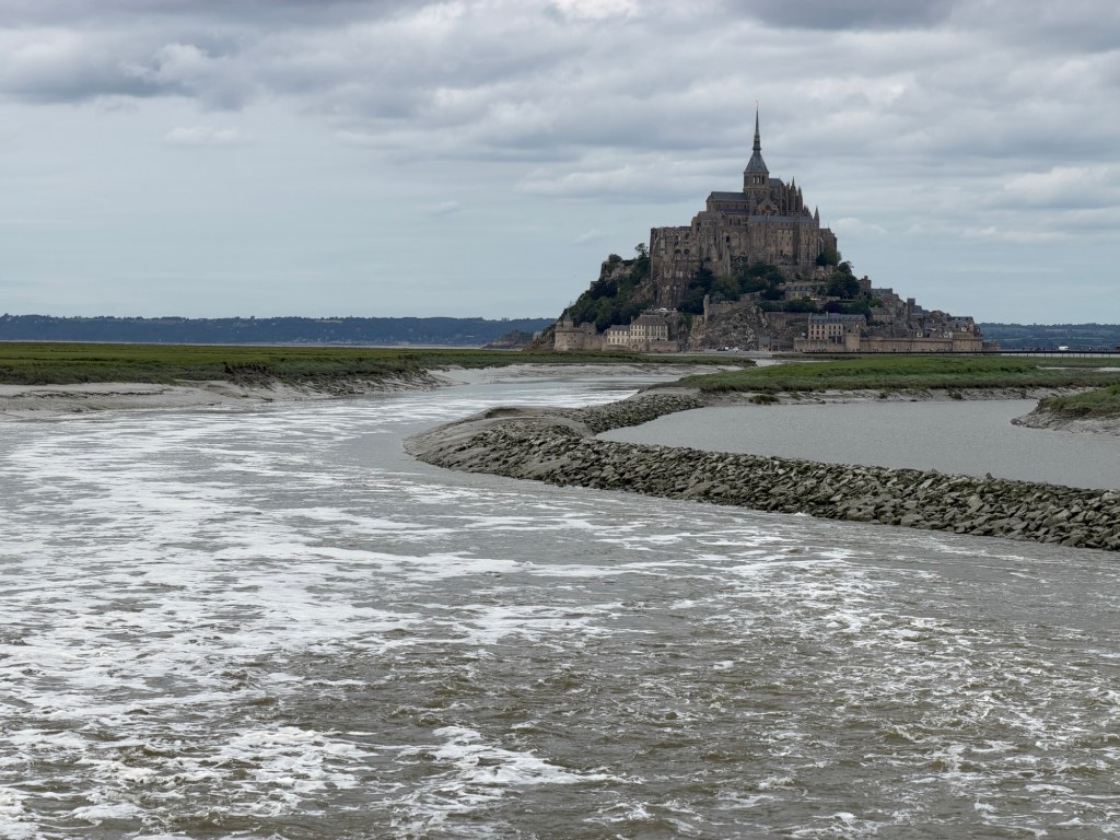
Bedrock with quartz veinsCross by the stairsCannonThe tide is going out
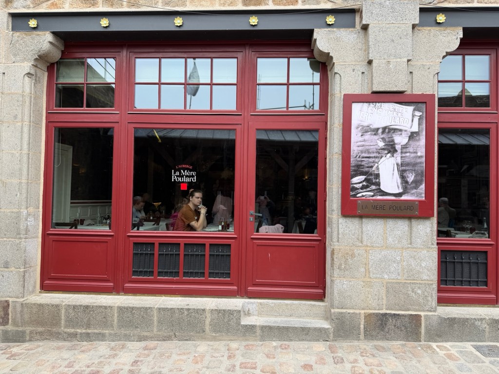
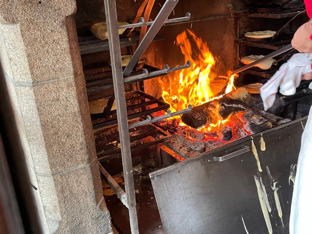
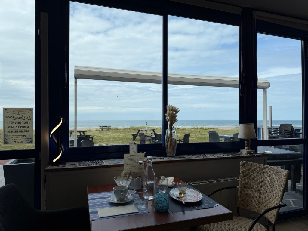
We enjoyed an unusual lunch in a fancy restaurant on Main Street, La Mère Poulard, famous for its omelettes.
Window of restaurant with La Mère herself in photograph Omelettes, cooked over the fireQuite a fancy table!
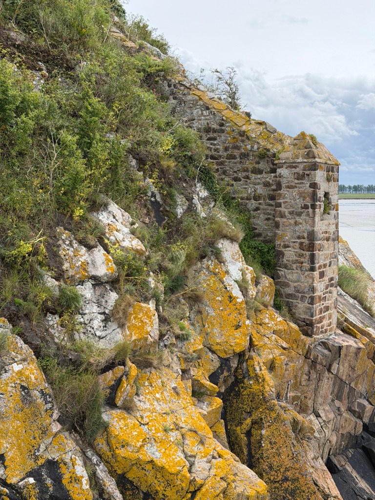
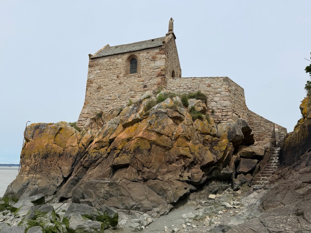
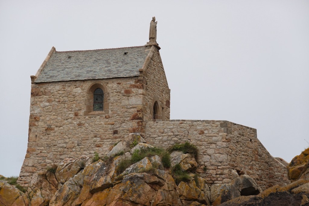
Soon after lunch, the tide was low enough for us to venture outside the castle walls for a view of a small adjacent chapel.
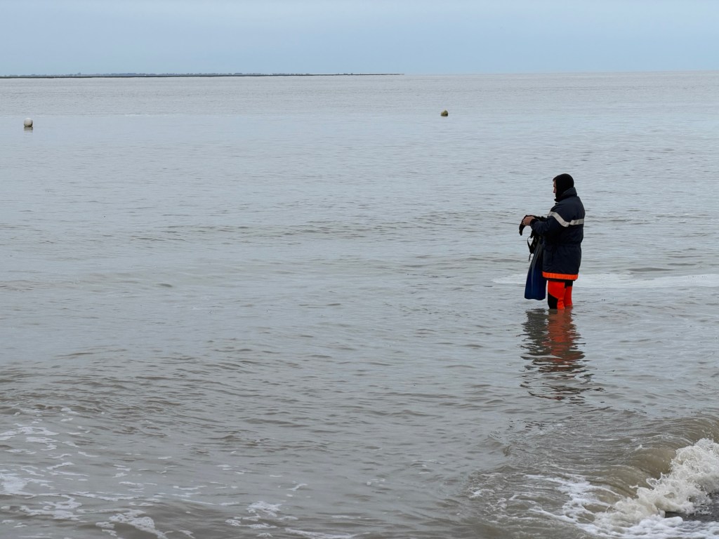
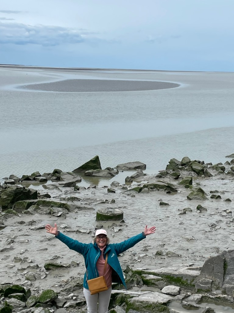
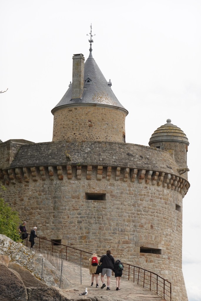
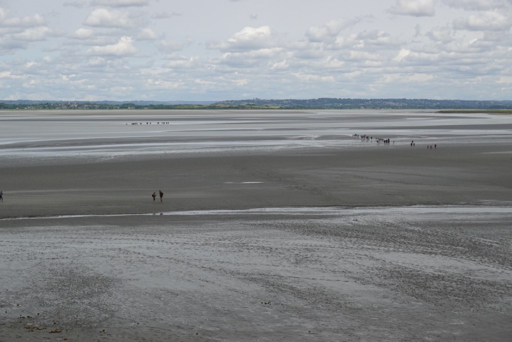
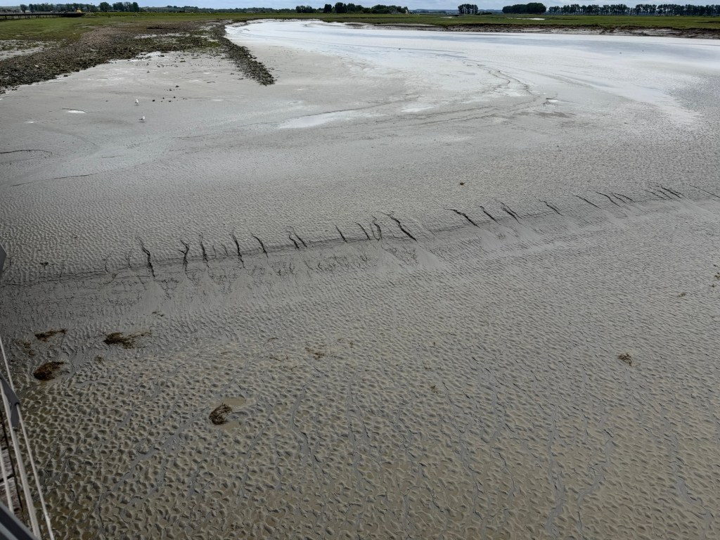
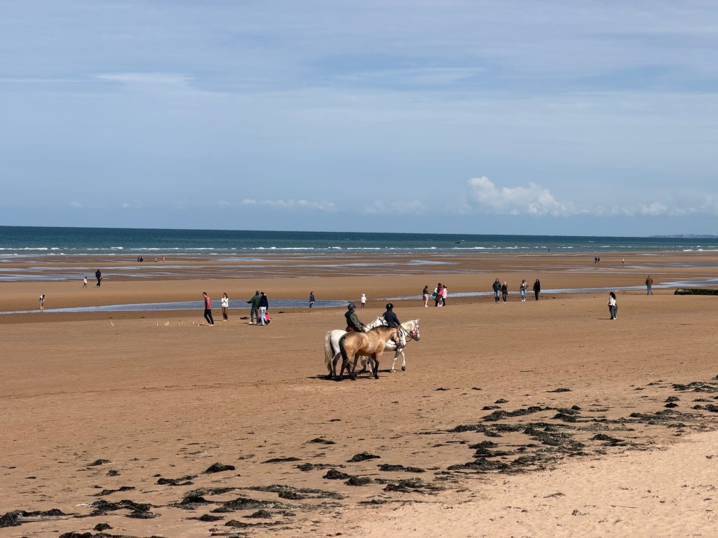
No water around this tower at low tideJoëlle testing the mudThe Gabriel TowerWader and walkers on the mudMany groups, some heading to adjacent islands where rock for the abbey was quarried
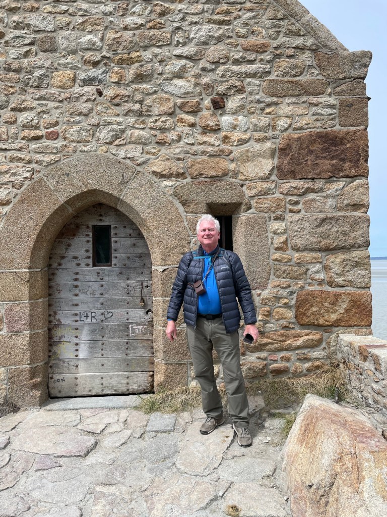
Getting down to the sand on the side near the small chapel was adventurous but worthwhile. We scrambled over some rocks, walked on the muddy sands, to find our way to the little chapel.
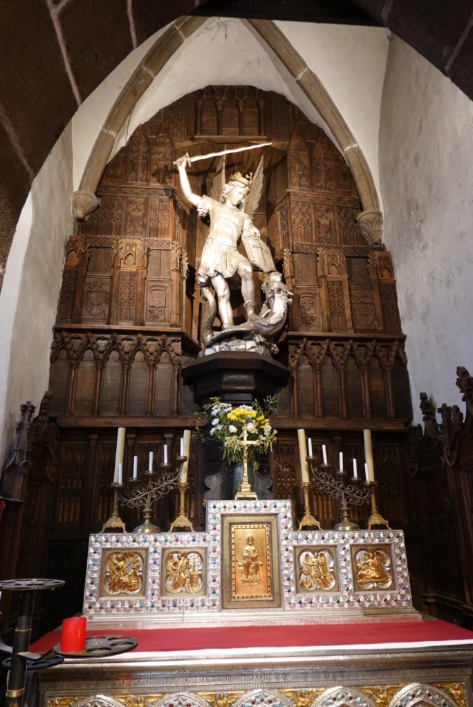
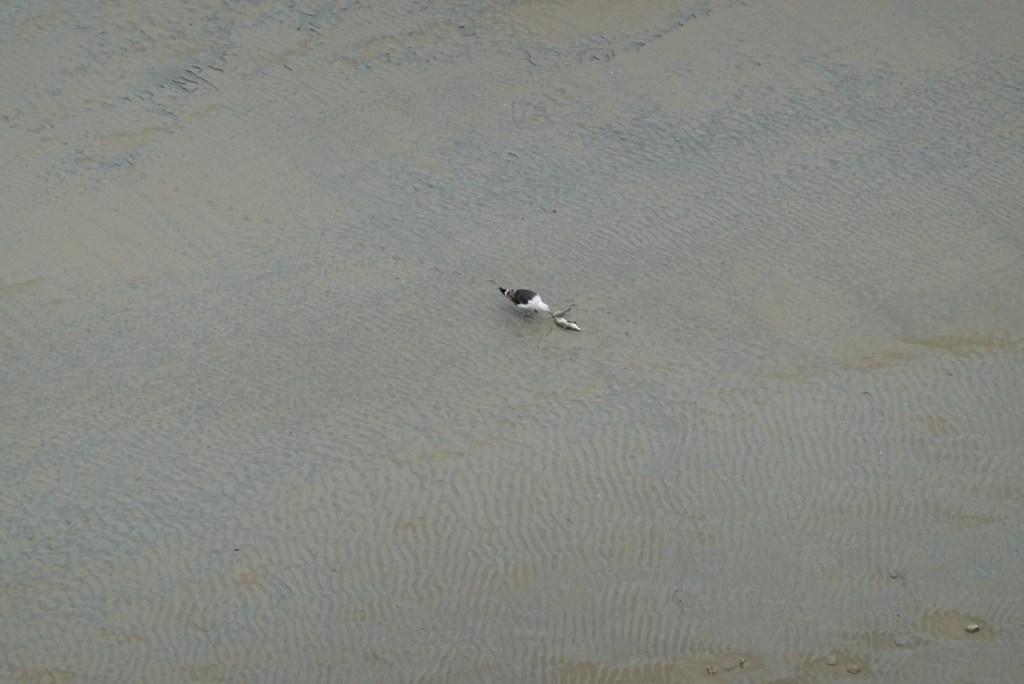
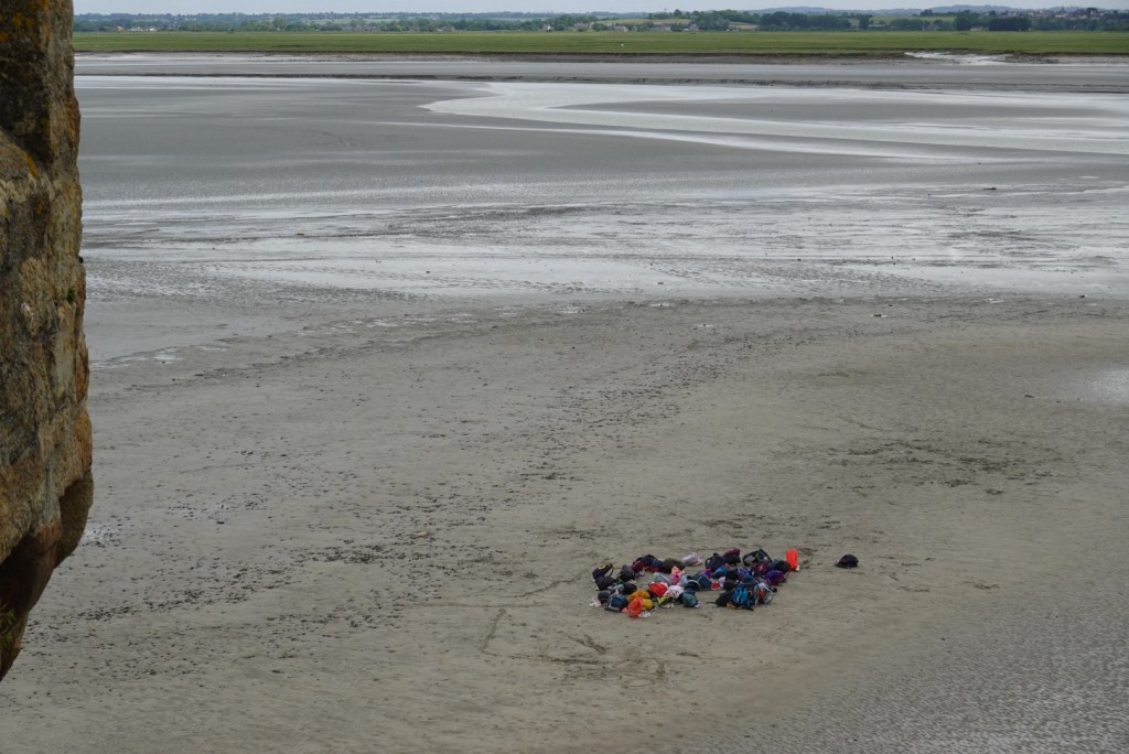
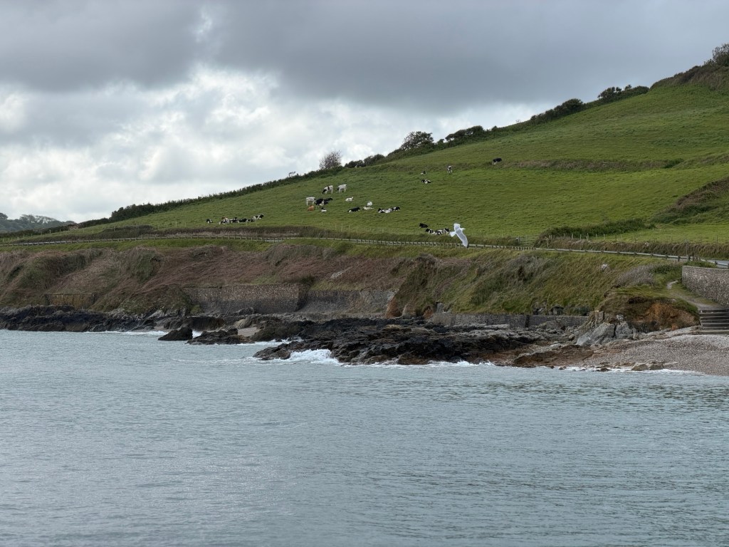
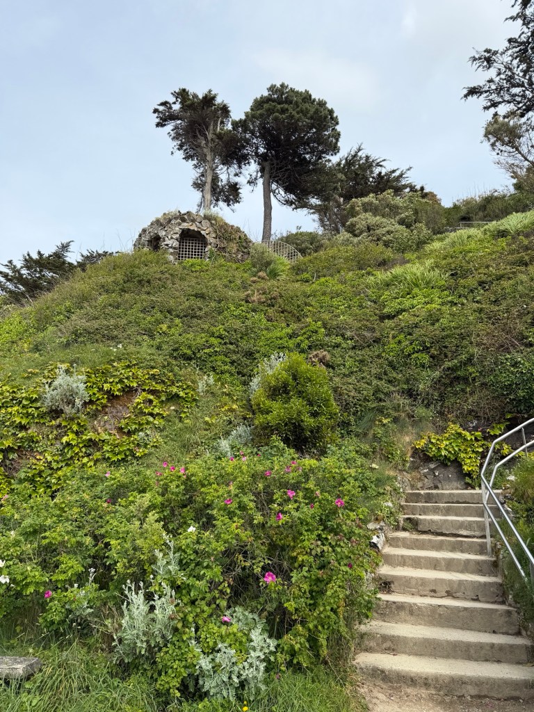
Beautiful lichenChapel on a hillBrian after taking photo of inside the chapelInside the chapelSt. Aubert ChapelViews from the ramparts that partially encircle the fortressClare at top of some stairsInside St Peter’s ChurchSt Peter slaying a dragonTwo varieties of lanternsGull finding lunch!Bags left by hikers planning to get back before high tide!Ripple marks evidence the currents caused by tides.Rivulets create miniature canyons in the sloping sands.Views of the mud flats near low tide
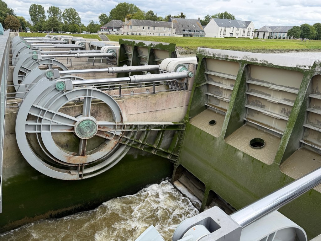
We walked back on the bridge past the first tram stop to see a dam constructed to release a lot of water at once in an effort to minimize sand deposition around the site. Brian turned back many times for photos.
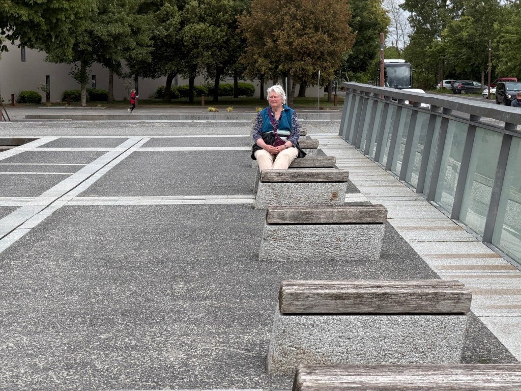
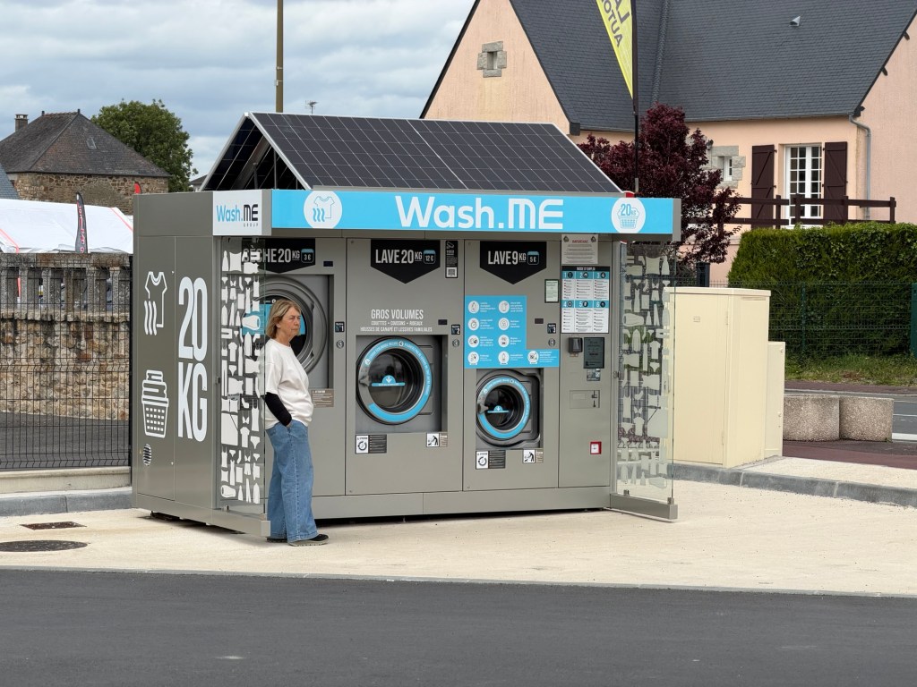
One does not tire from the views of Mont-St-Michel!River water released from the damTwo dam floodgates were opened Clare resting her legs at the damAt the market, there is an outdoor coin laundry! This one is conveniently close to a camping area.
In the evening, Marc and Joëlle went to the river to see the tidal bore (mascaret in French), a wave-like surge that occurs at high tide when the tide opposes the natural flow of the river into the sea, affecting areas for miles. The tidal differential varies, as does the height of the wave when it occurs, technically twice a day. Our friends were able to take a video and pictures of the surge, the wave about a foot or two high.
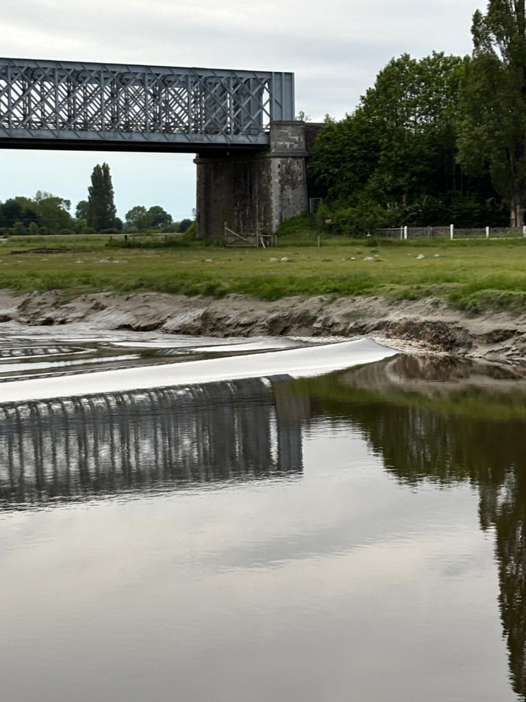
Auto bridge in Pontaubault, near our AirBnB, when water was flowing normally, toward the ocean. Views as the wave passed Marc and Joëlle. Clare and Brian missed it.
Video showing river flow starting to reverse, natural flow right to left, changing to left to right in this view.
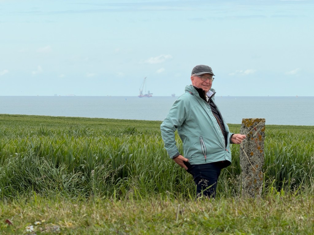
We left Jérome and his lovely home to stay at an AirBnB in Pontaubault. We are heading mostly north to some beaches and harbors, then heading south along the west coast of the Cotentin Peninsula to Pontaubault where we will stay for three nights in an AirBnB. This day was for relaxation while traveling.
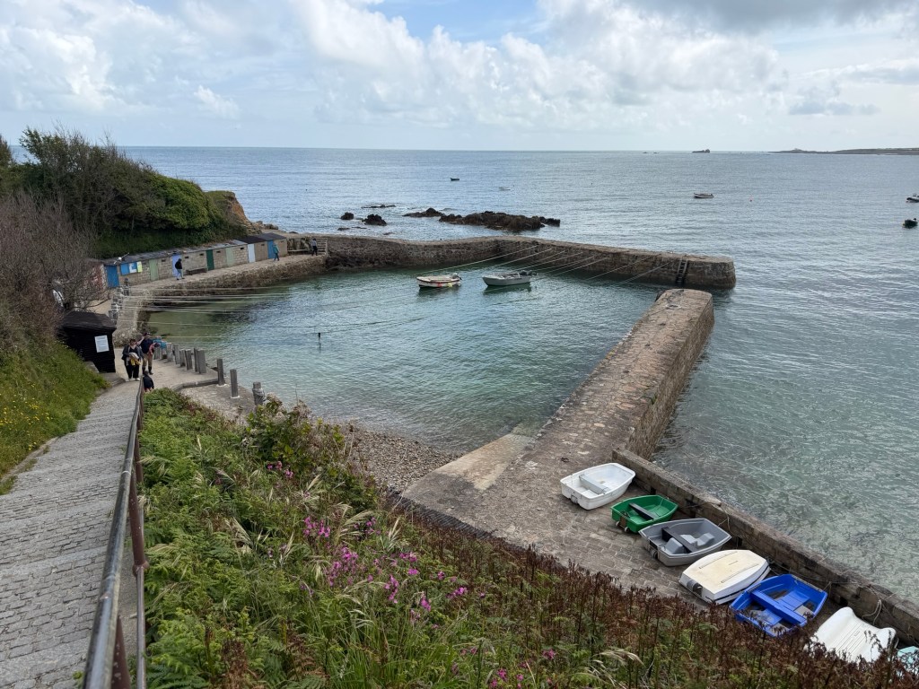
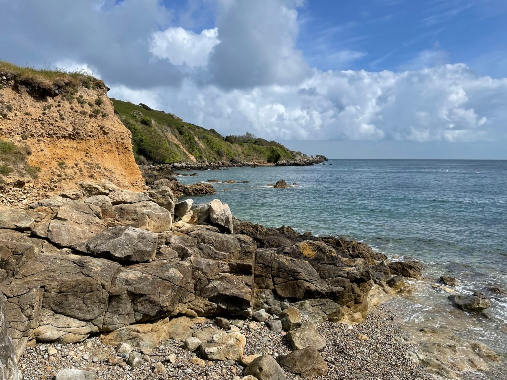
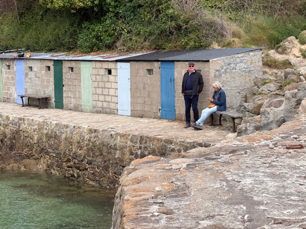
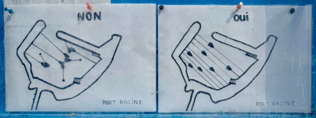
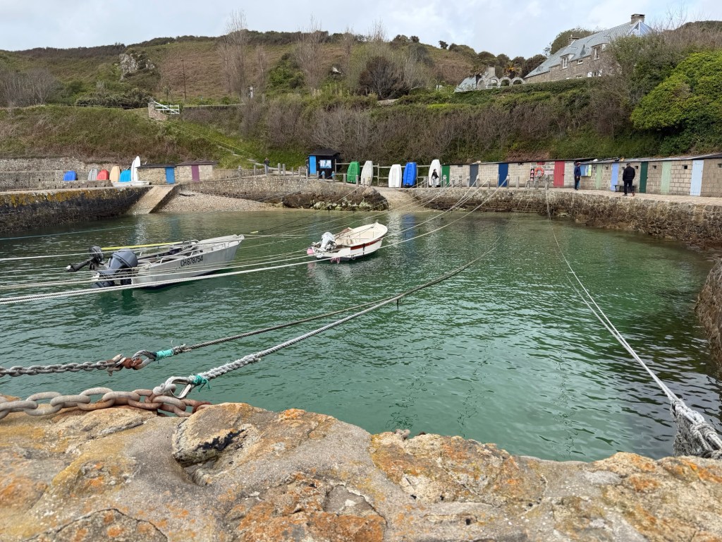
The smallest harbor in France, Port Racine, was originally built by a pirate. It is on a small peninsula west of Cherbourg. We parked nearby and walked all around there.
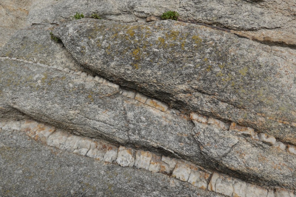
Coastline to leftView of Port Racine from aboveCoastline to rightUs geoscientists noticed the unconformity (gap in time) at the base of the cliff.
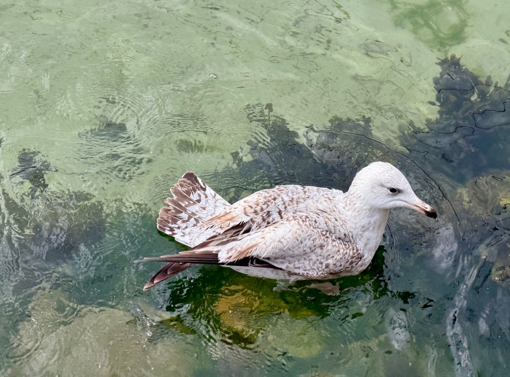
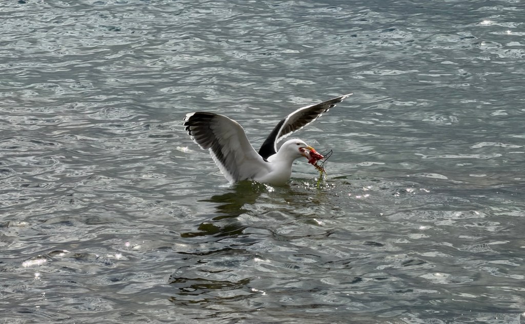
Peaceful sounds at Racine HarborLarge flowers!Gull in the harborA gull catching seafood
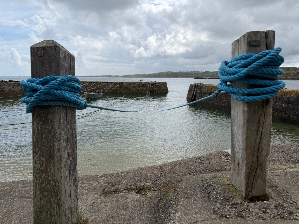
Little cabins are rented by boaters to store equipment. The small harbor has ropes for the boats to tie into.
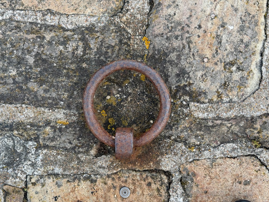
Marc & JoëlleTie your boat neatly!Lots of ropesNewer ropesTie-down ring on top of the barrier
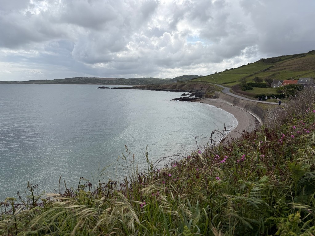
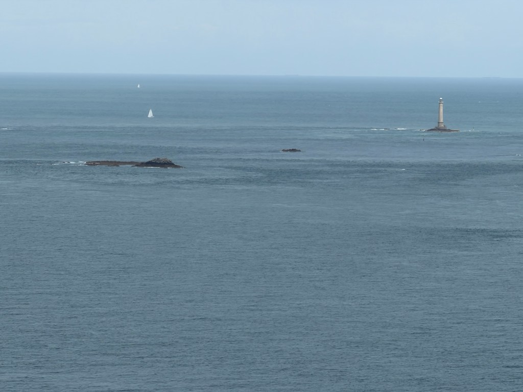
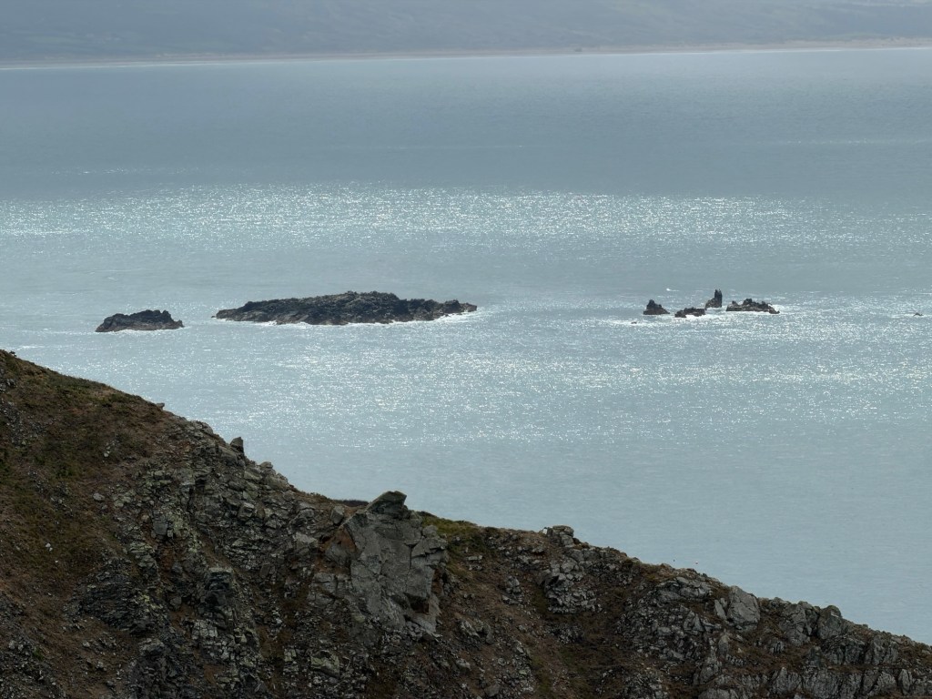
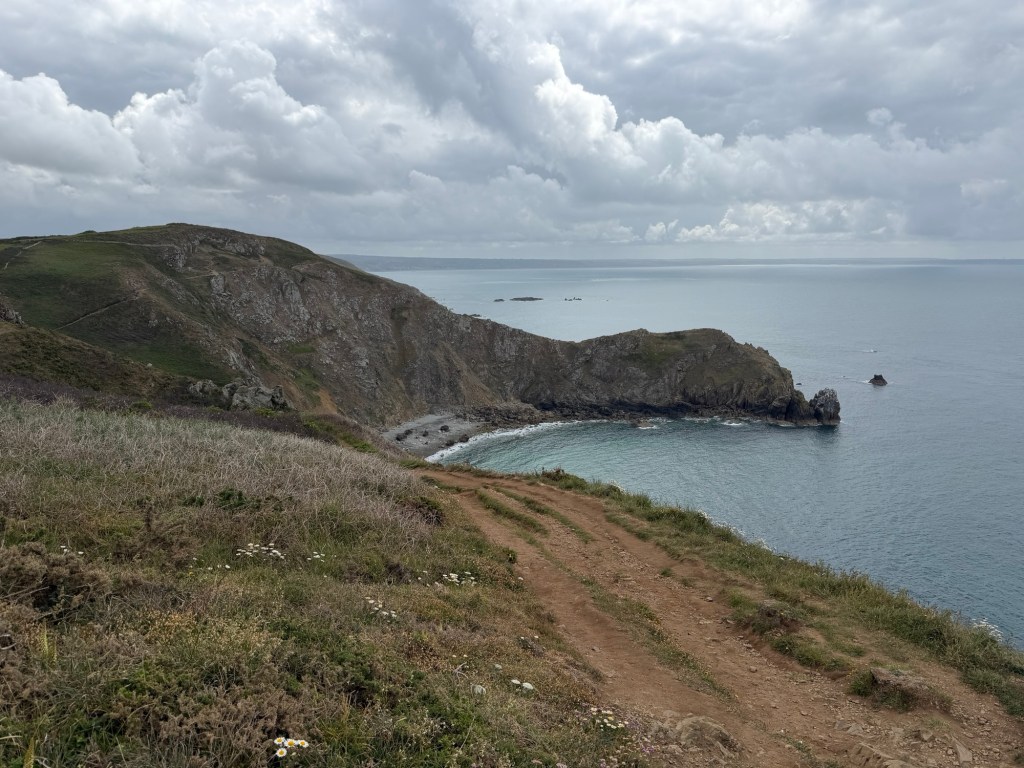
Next, we arrived at Jobourg Cliff for views of this part of the English Channel. We walked around the peninsula for a bit.
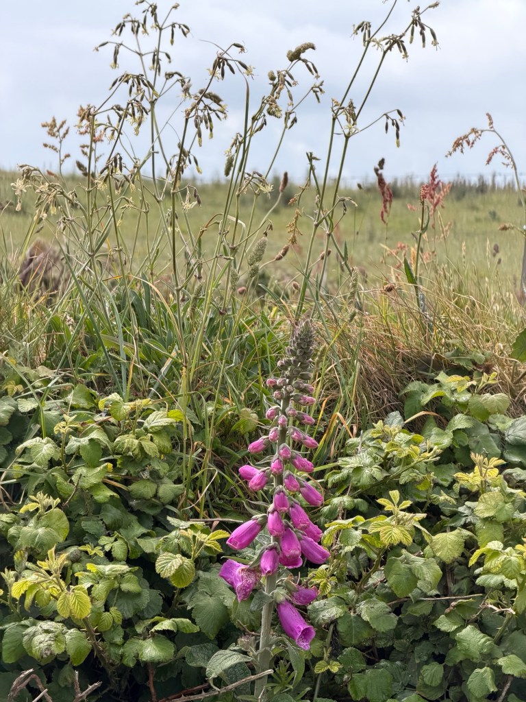
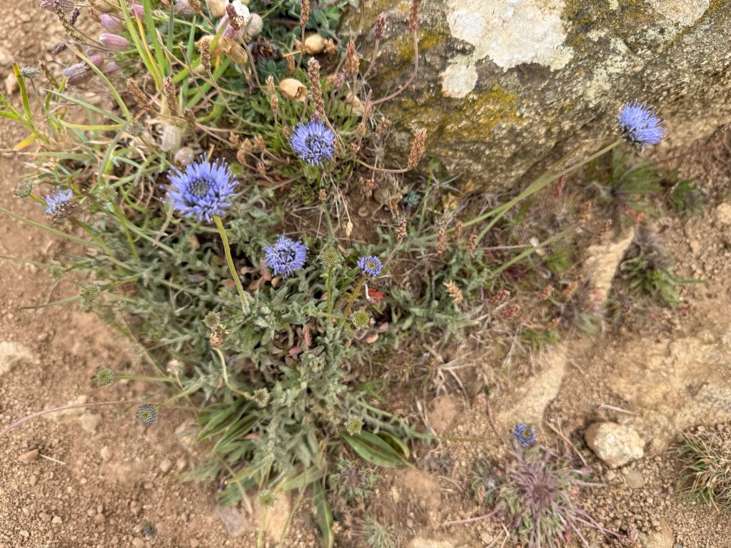
Lighthouse in the distanceSmall natural islandsPretty coveWildflowers
In the region of Hague, we followed a tourist route to stay close to beaches on small roads. In the town of Siouville, we found a place for lunch.
Cape Route signWide beachLunch at Au Cap Marine restaurant
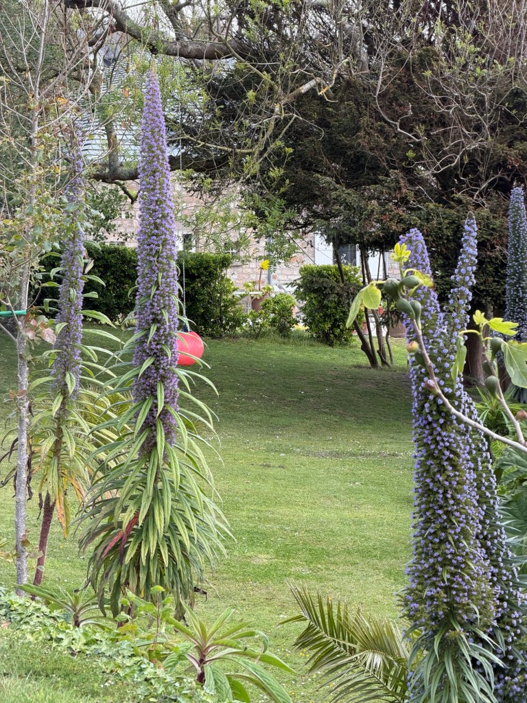
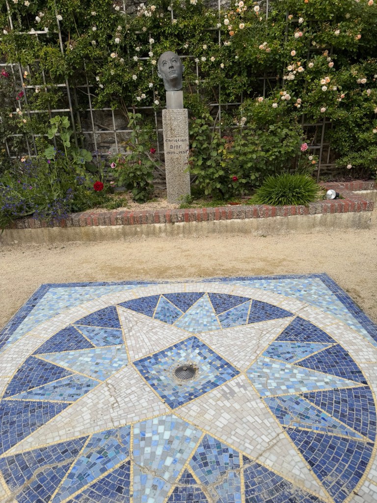
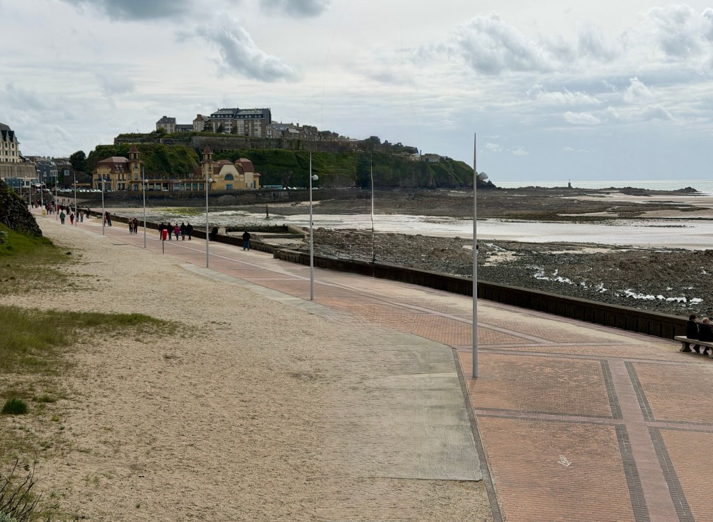
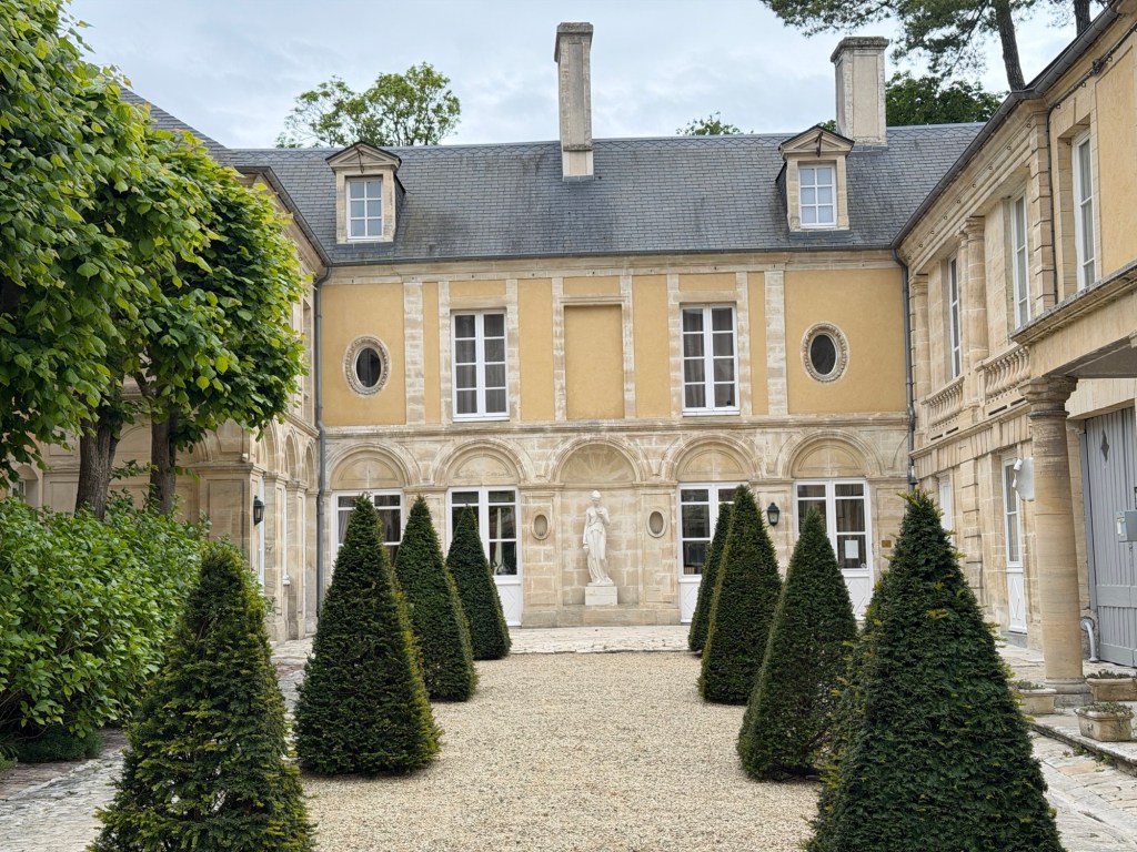
Next, we visited the gardens around the home of Christian Dior, open to the public. The beautiful gardens are well kept. This much larger town is Granville.
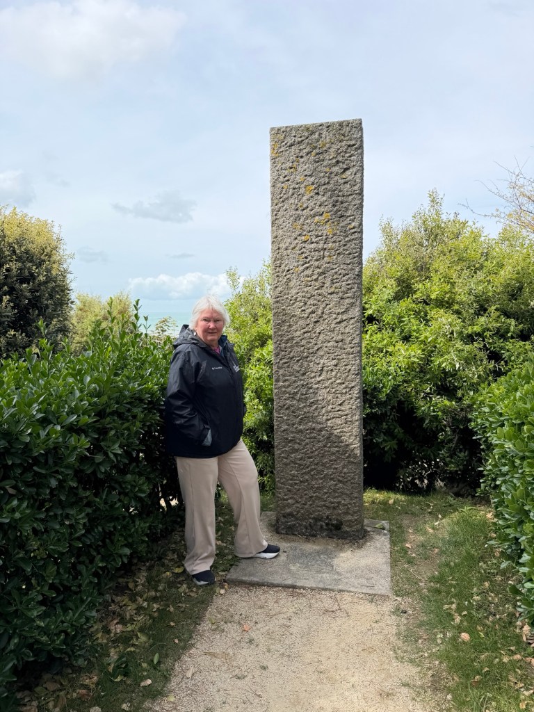
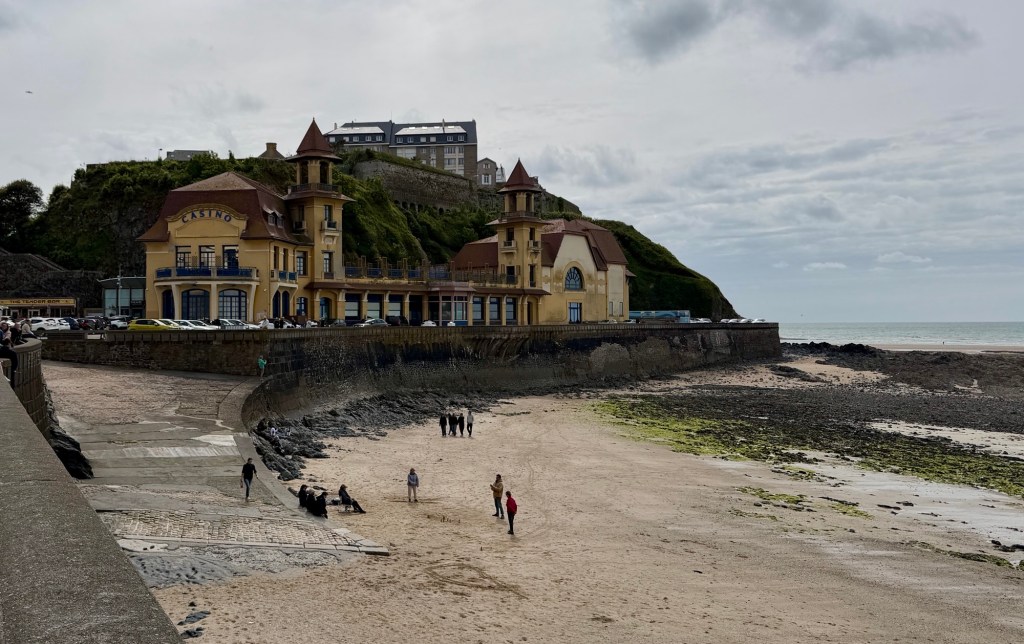
Christian at around age 9The coast from the gardenRose trellisCompass star mosaicUnnamed monolithStairs to the beach from the gardenWalk along the promenade to townFirst view of town is a casinoFunny posterStreets decorated with flags of butterflies and flowers.
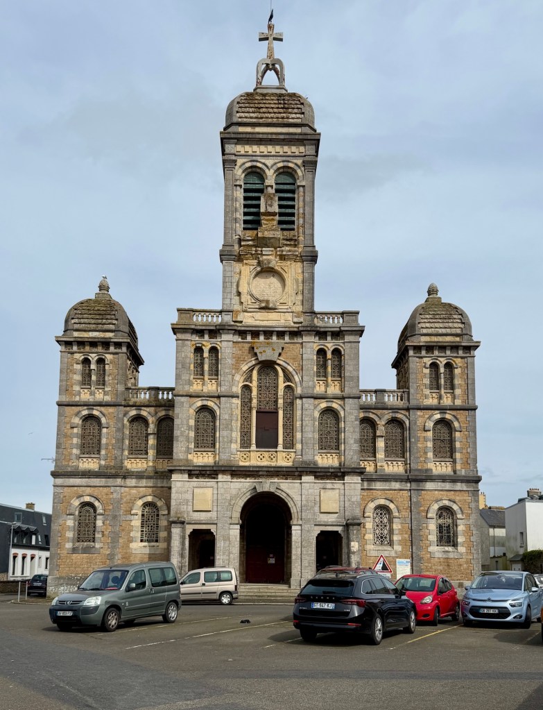
We walked along the promenade then to to the local church, which was not open to enter due to disrepair. The stairs to the church are called “The Stairs of St Paul”.
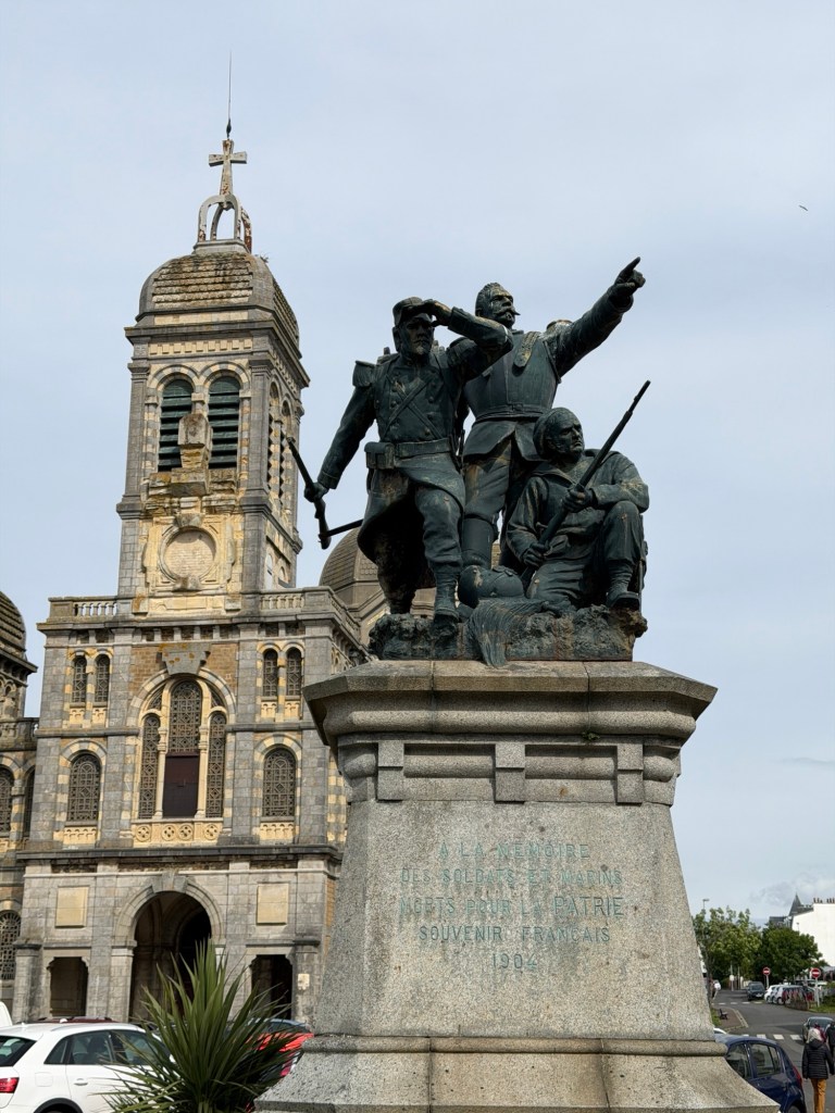
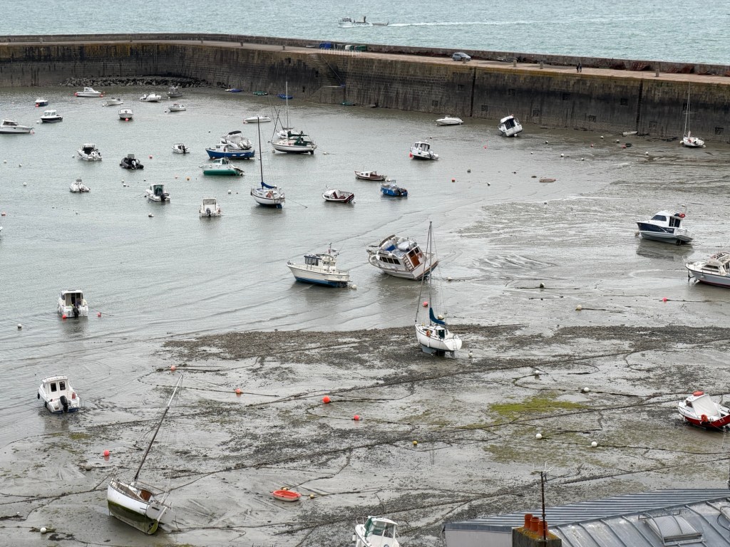
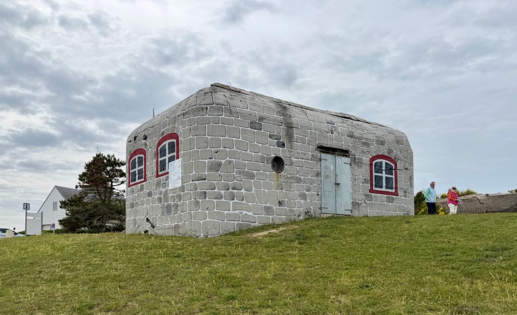
St. Paul ChurchMemorial to soldiers and sailors who died for FranceBoats at low tide in part of Granville harborOld German bunker, painted to make it appear as a house..
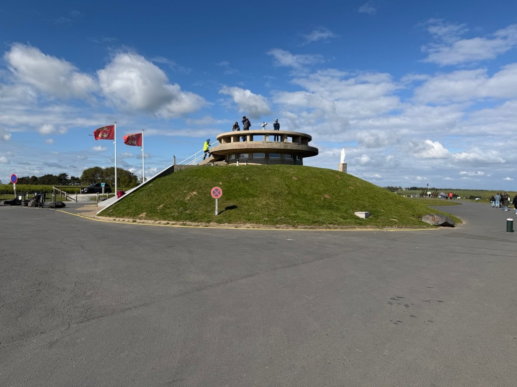
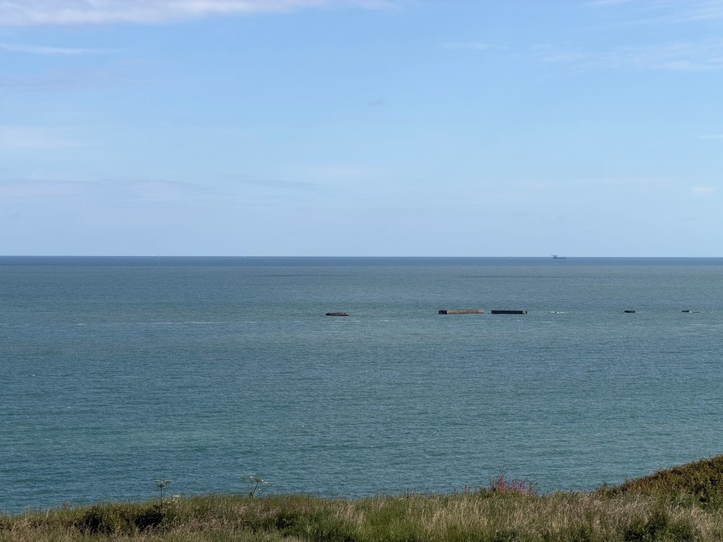
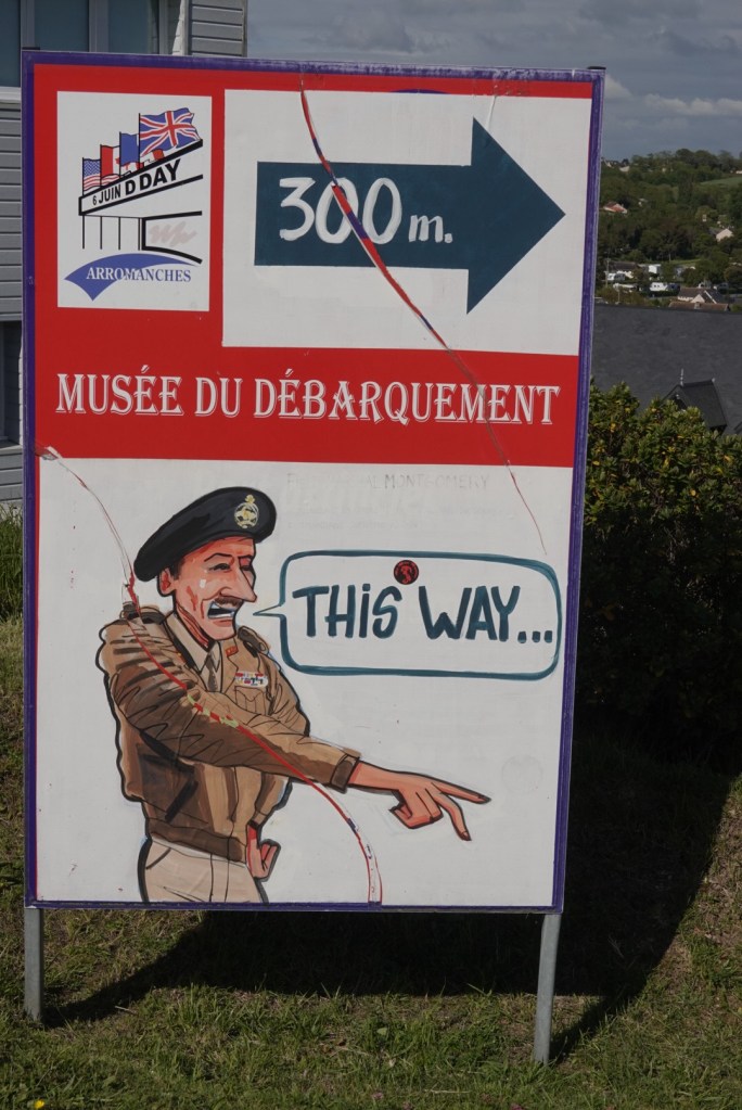
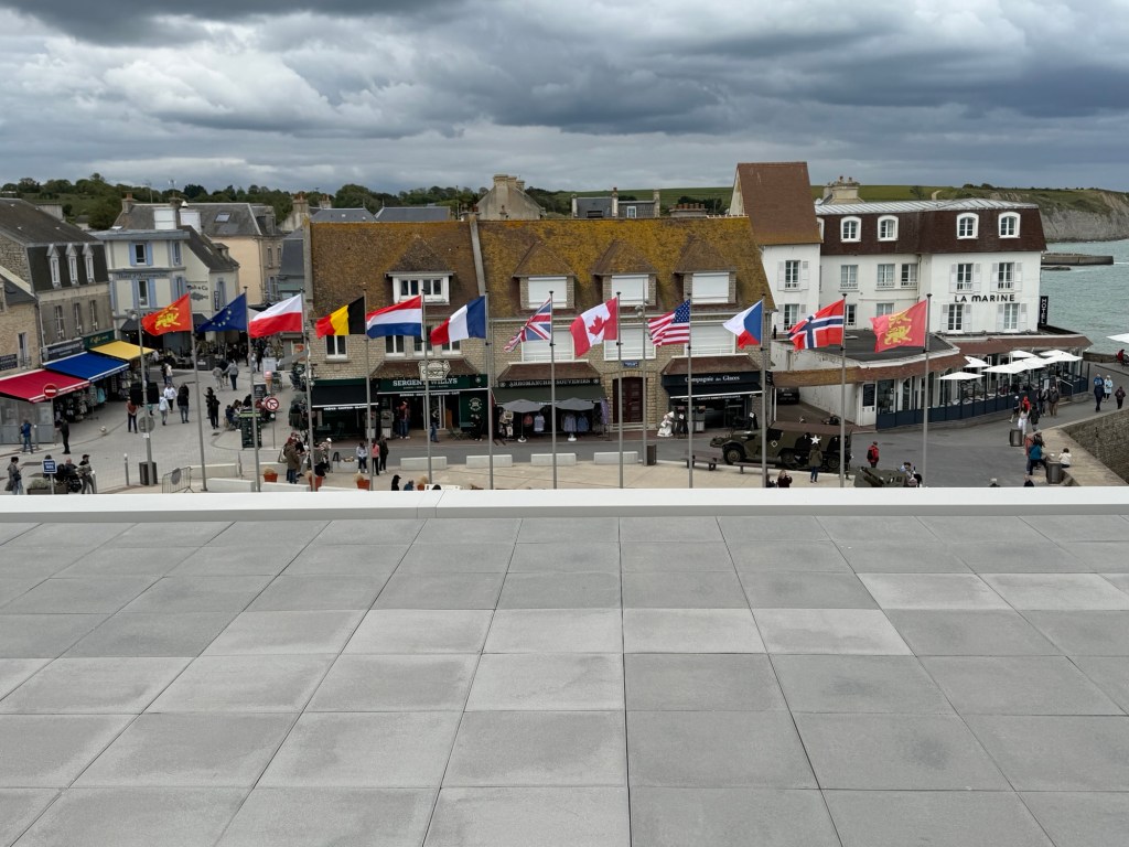
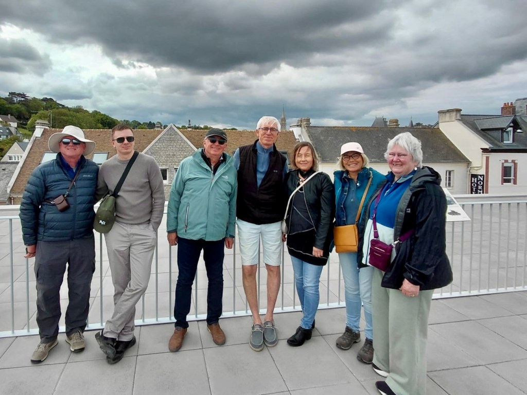
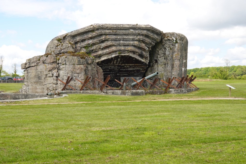
Today, with Jèrome and Cèdric, we visited more D-Day sites. The first area was Arromanches, where British soldiers and engineers built a harbor in six days. Incredible! The Germans had blocked all the natural harbors, so this was the only way to get the large numbers of men and matériel to shore efficiently.
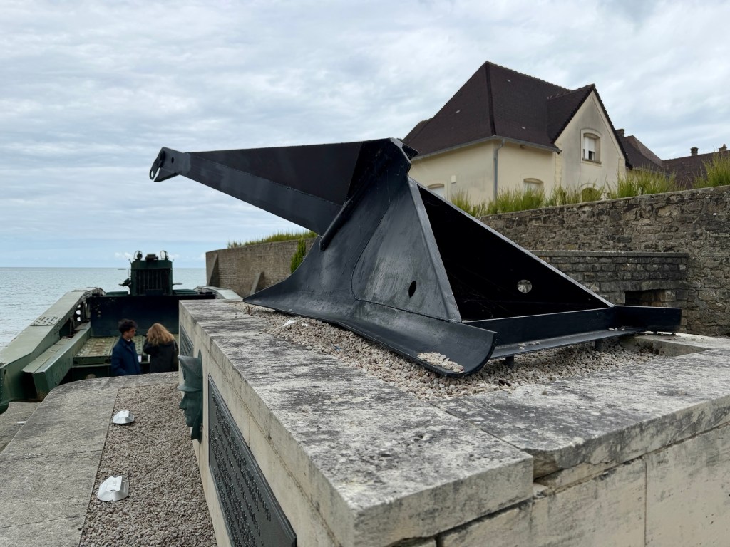
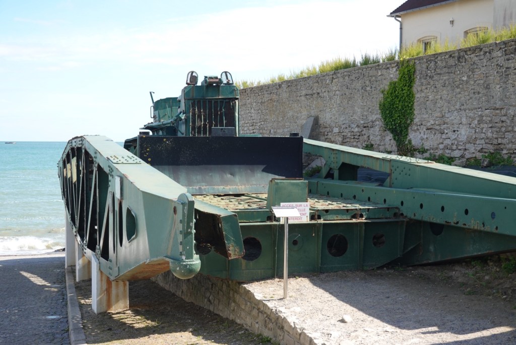
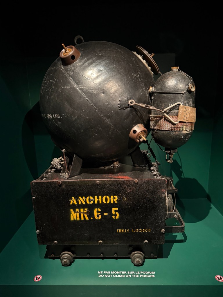
We parked at this overlook.Parts of the man-made harbor look like islands today.Intriguing artworkDon’t get lost!Another memorialGun pointing out to seaA type of anchor used to stabilize the floating piersPart of a floating pier with bulldozerThe narrow beach and seawall
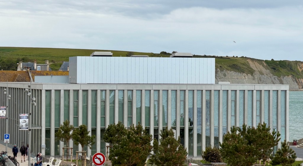
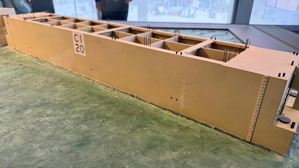
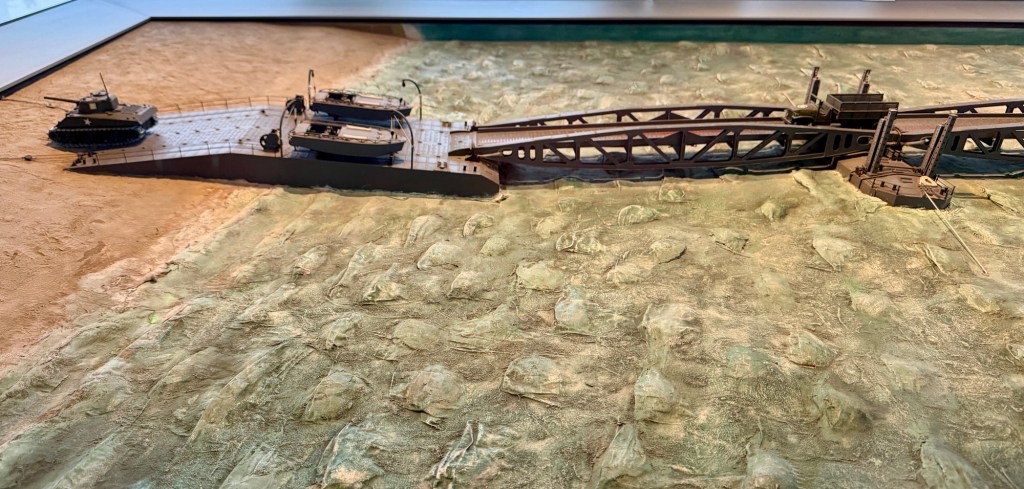
The modern D-Day Landing Museum was fantastic, with many videos and educational displays centered on the construction of the artificial harbor.
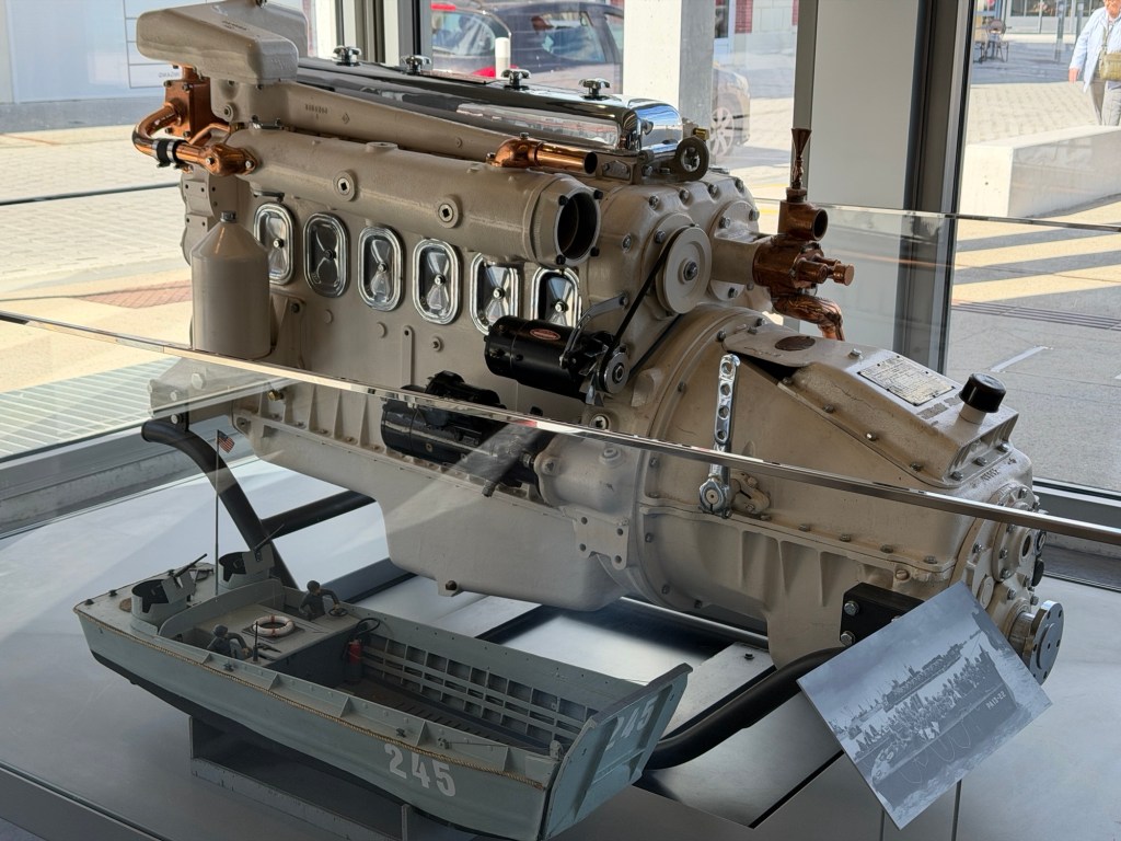
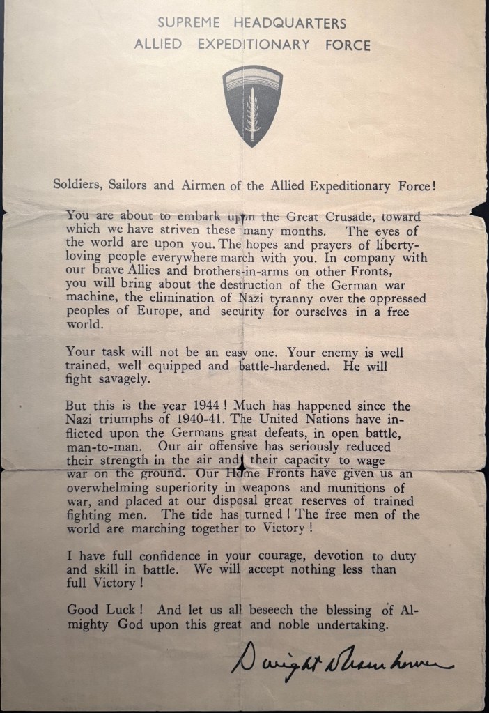
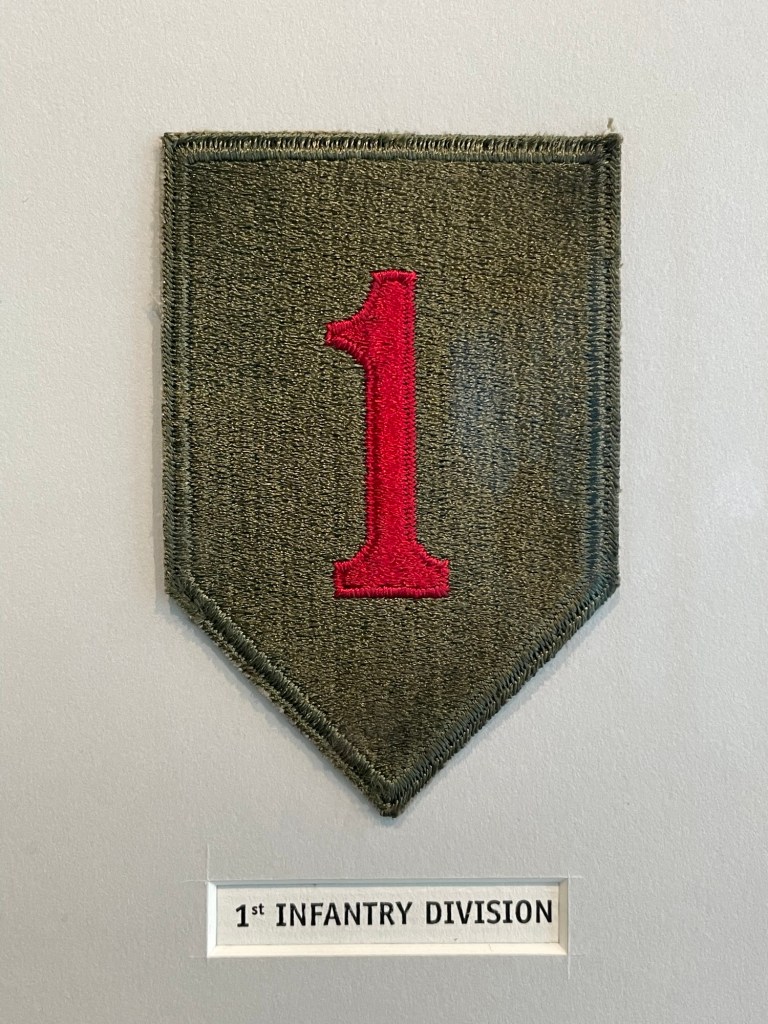
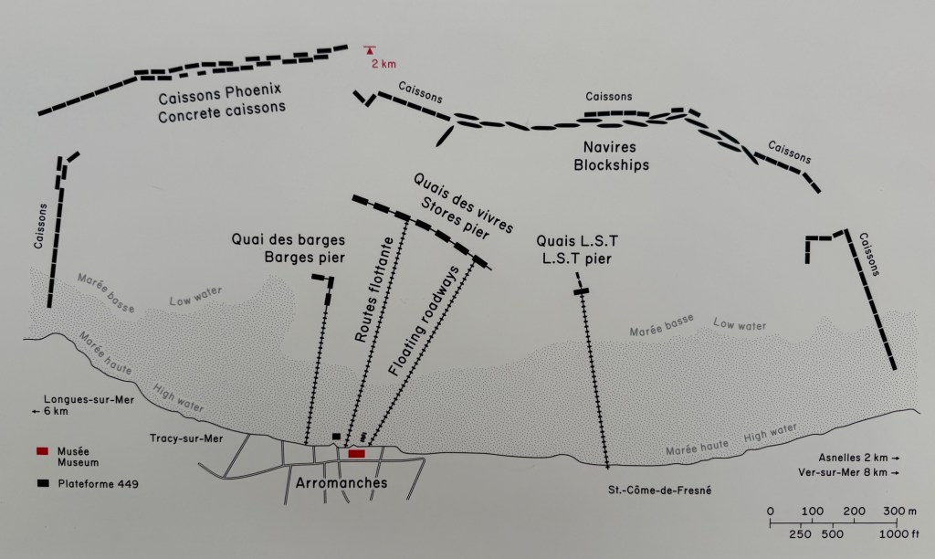
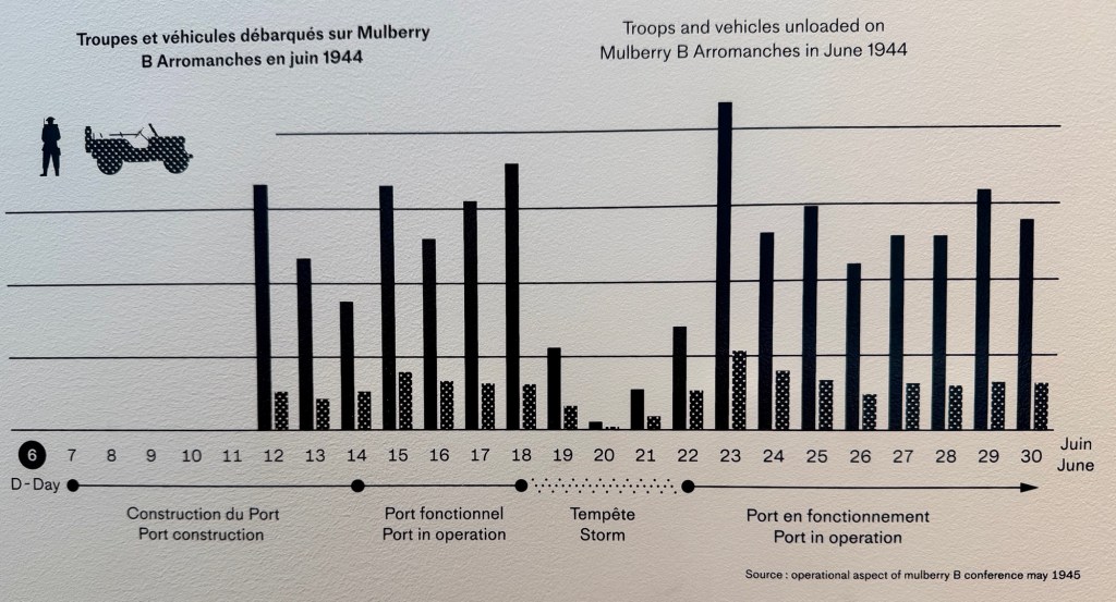
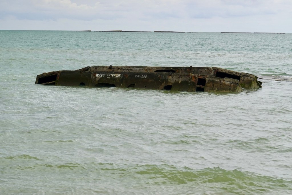
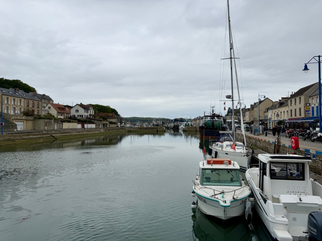
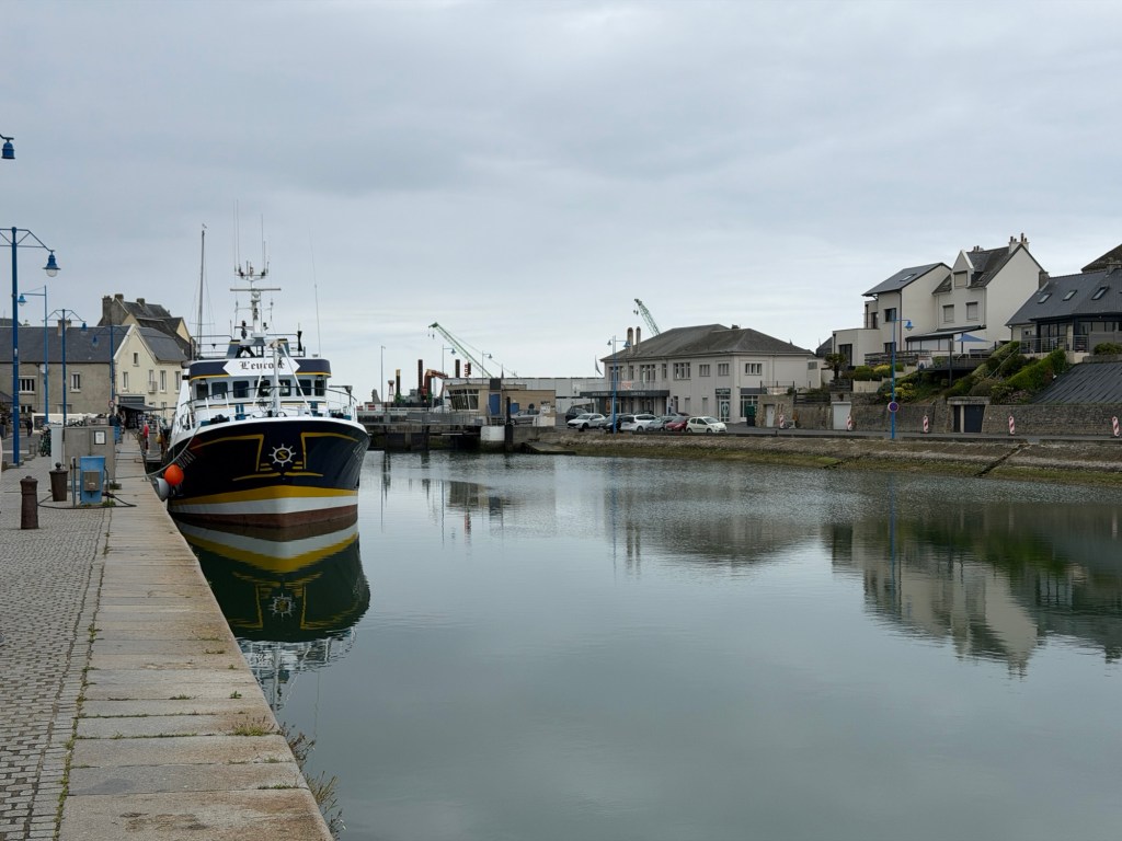
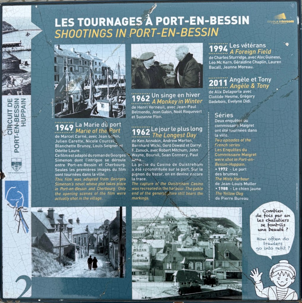
Letter from Commander Eisenhower to allied personnelBrian’s Great Uncle was in charge of an infantry unit in this division that landed on Omaha Beach.Map of Winston Harbor, showing caissons and floating piersGraph of daily unloading here in June, 1944; linear scale from 0 to over 10,000 troops on the 23rd.Pheonix caissons were flooded upon arrival for breakwaters.Model of floating pier for unloading heavy equipment and suppliesFlags around the museum show wind. All of us, under a dark cloudOne of a few remnants of the artificial harborPort-en-Bessin harbor, a sign with movie locations, and an old towerLunch with our friends at O’plan B in Port-en-BessinValerie and Jérome
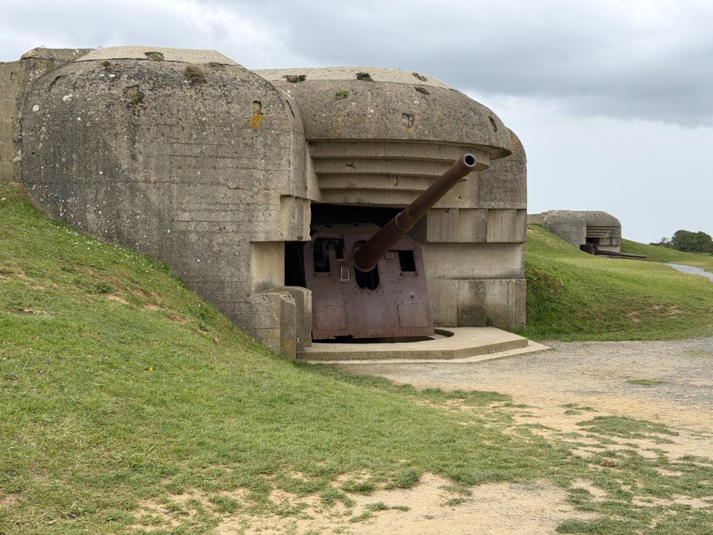
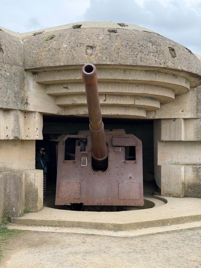
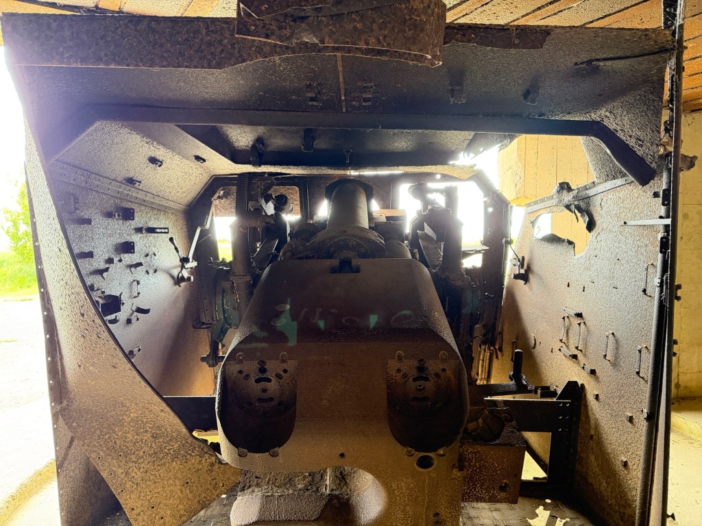
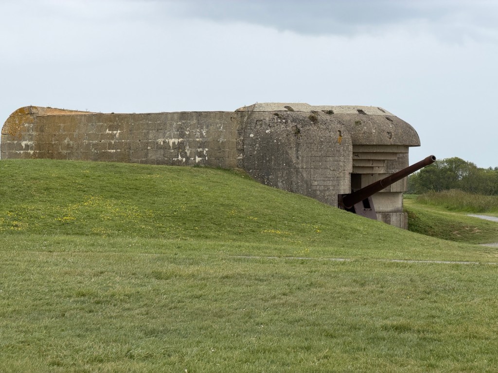
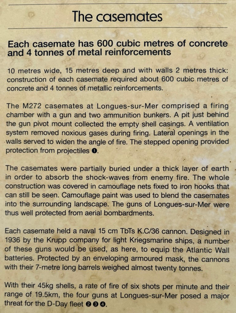
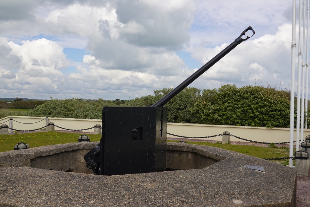
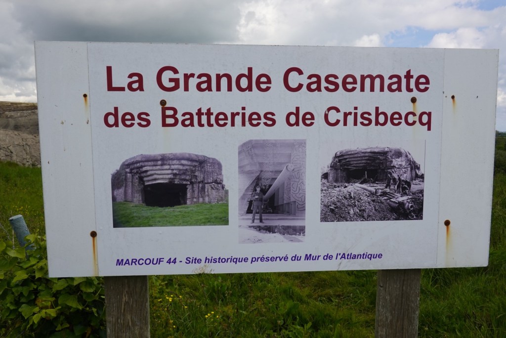
After lunch we drove to a more intact gun battery at Longues-sur-Mer
Details of the amazing construction Marc finds a geochache?
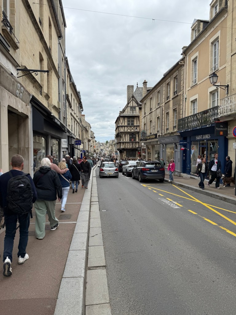
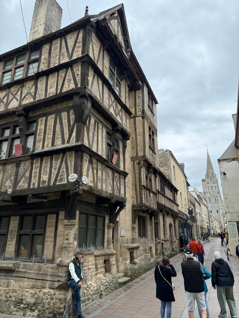
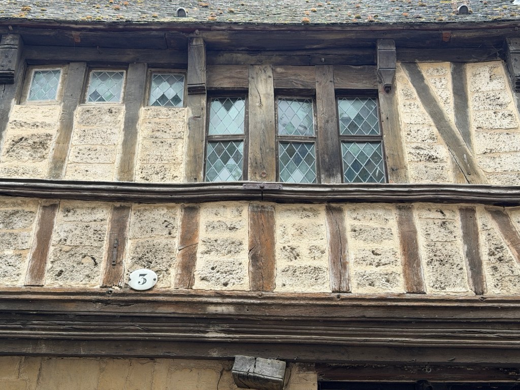
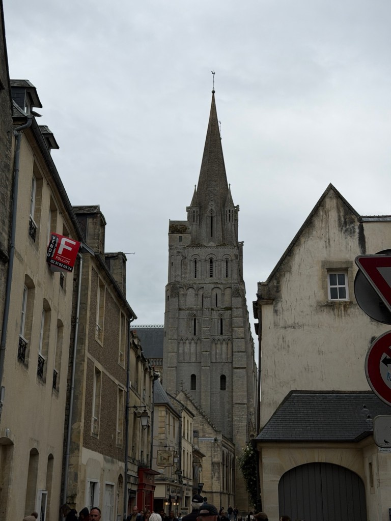
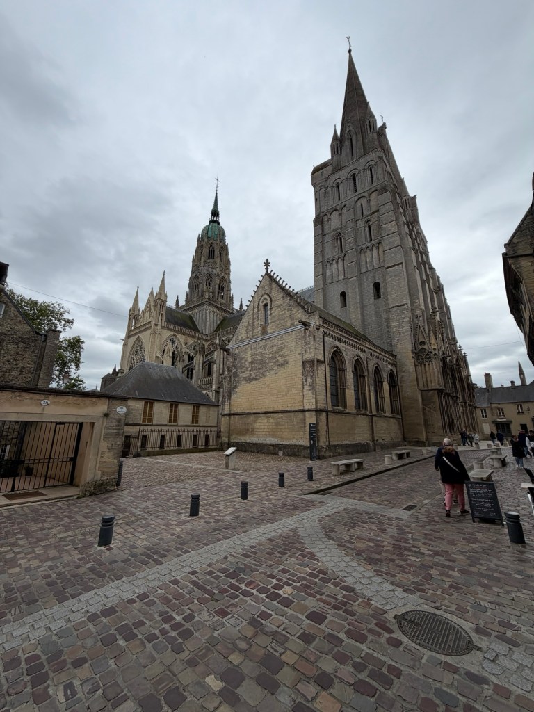
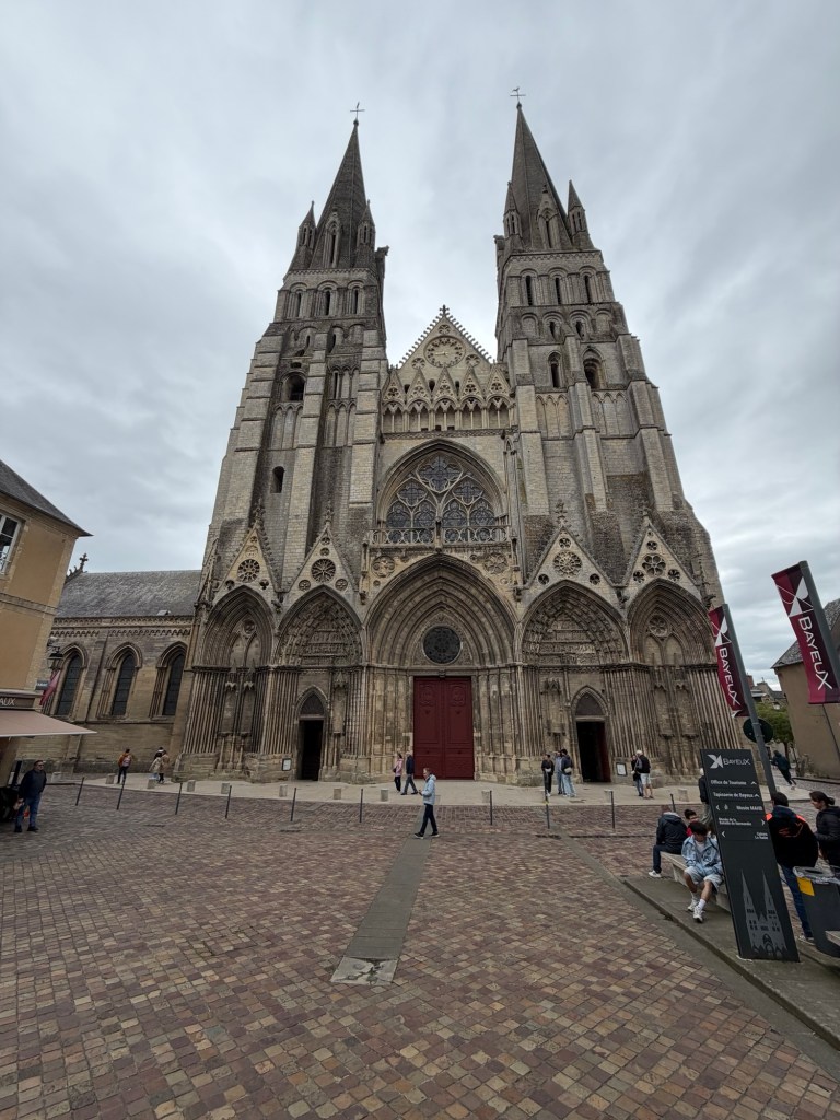
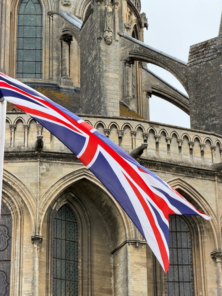
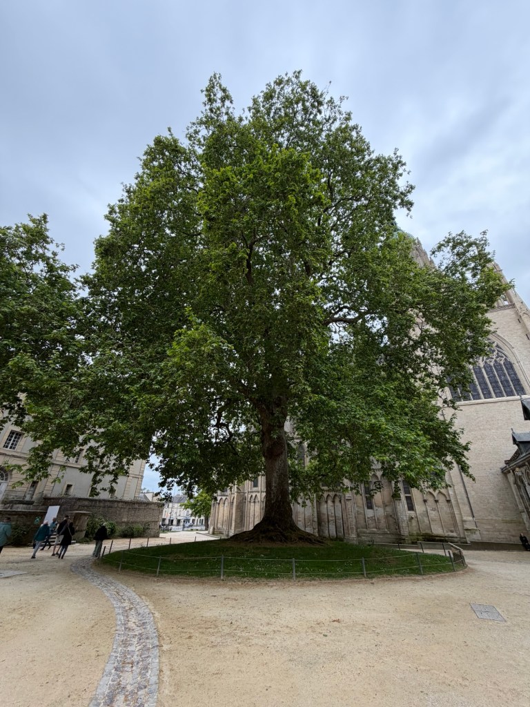
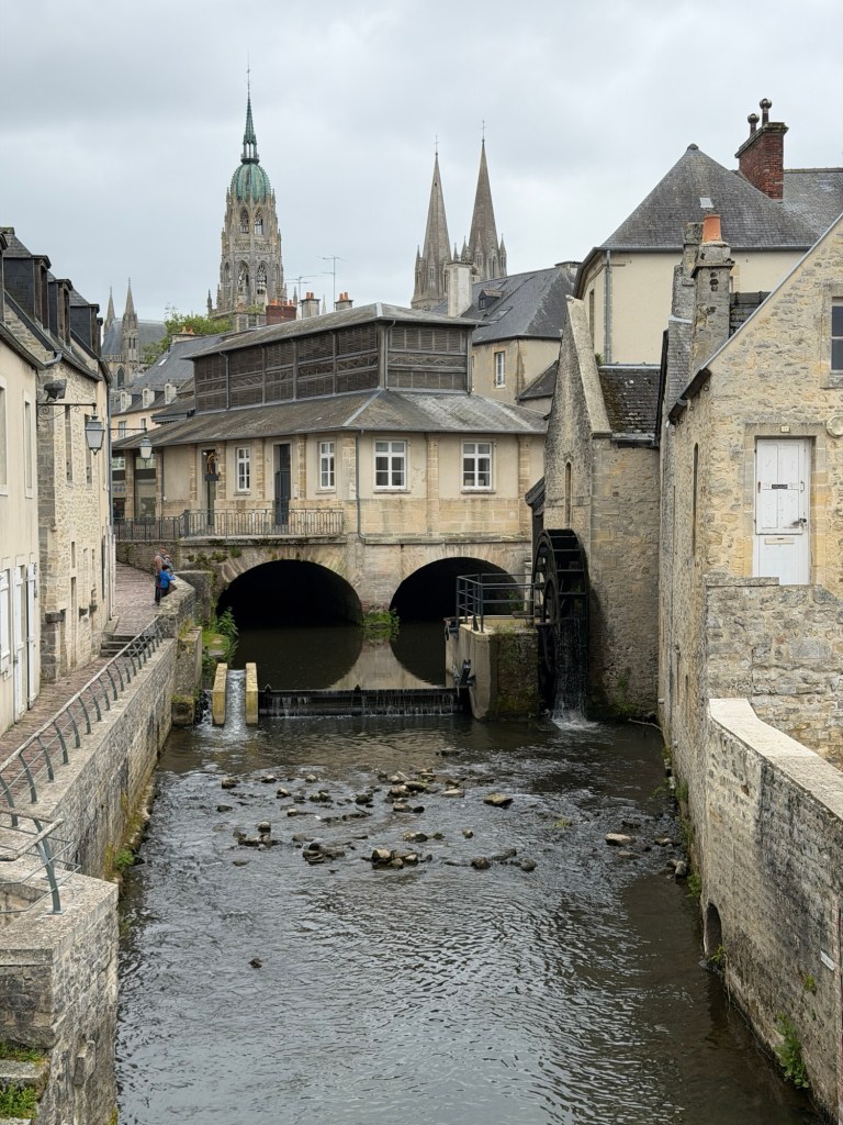
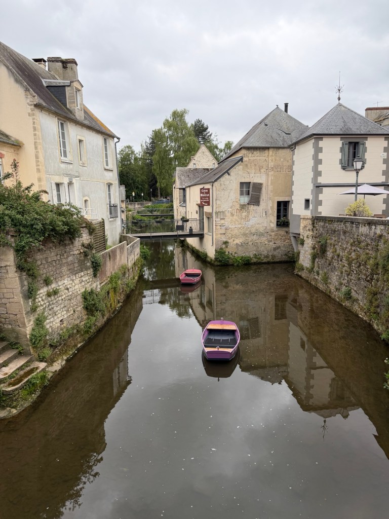
Next, Valerie showed us some favorite sites in Bayeux
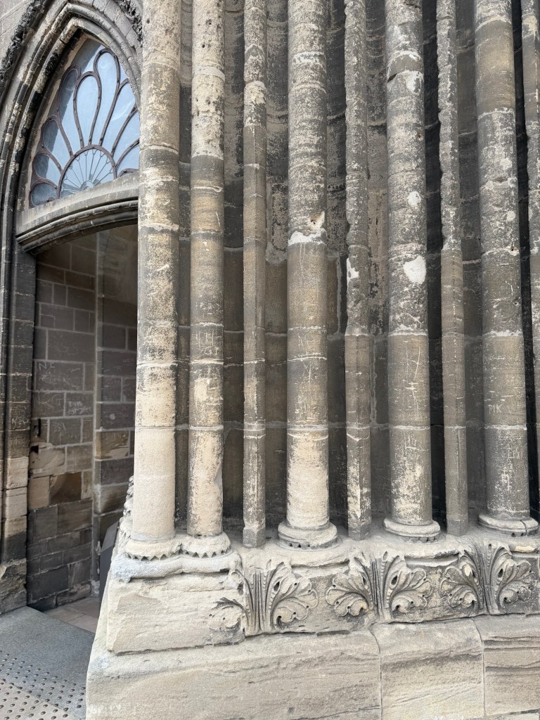
Façades with interesting designsNote the missing sculptures above the windows; during the French Revolution, people rebelled against royalty by removing the faces of the old guard.
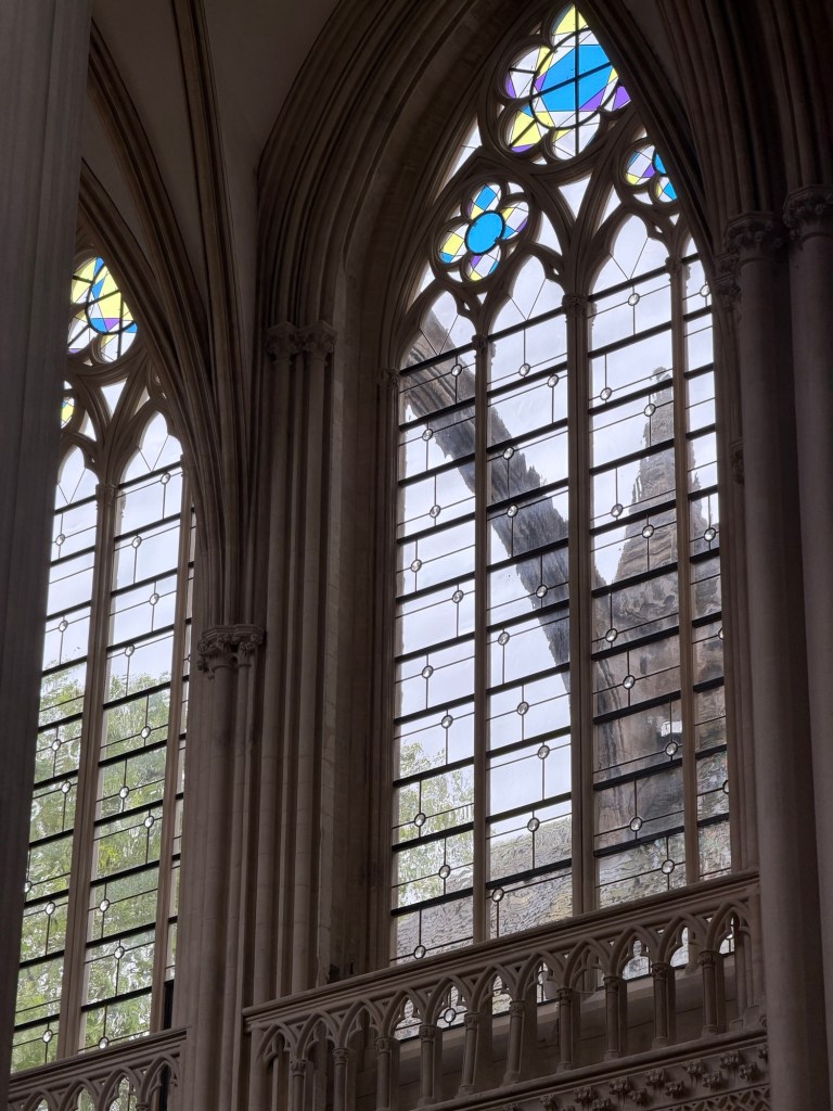
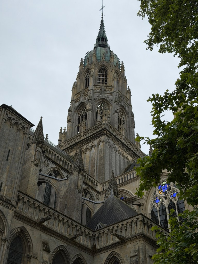
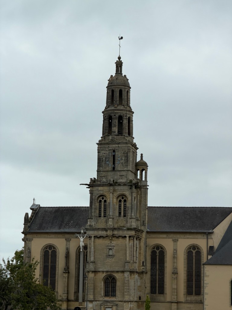
Bayeux Cathedral
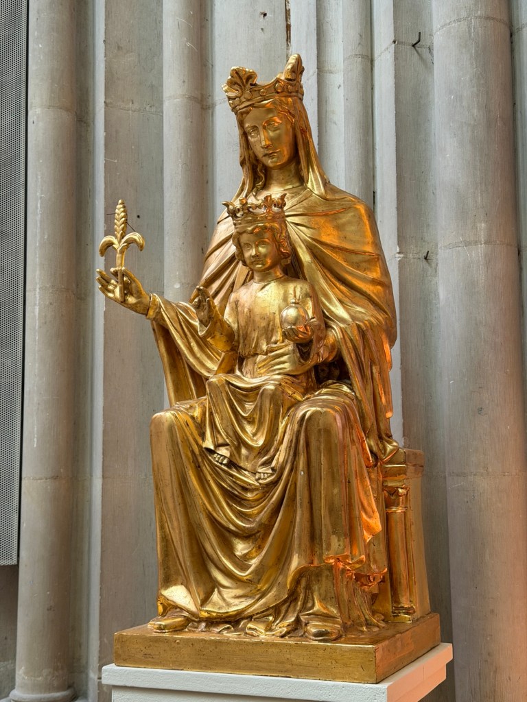
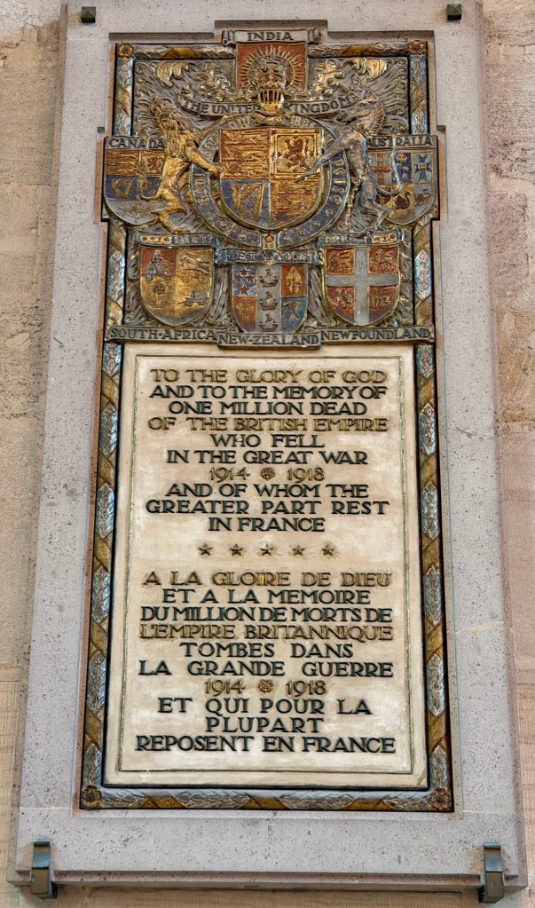
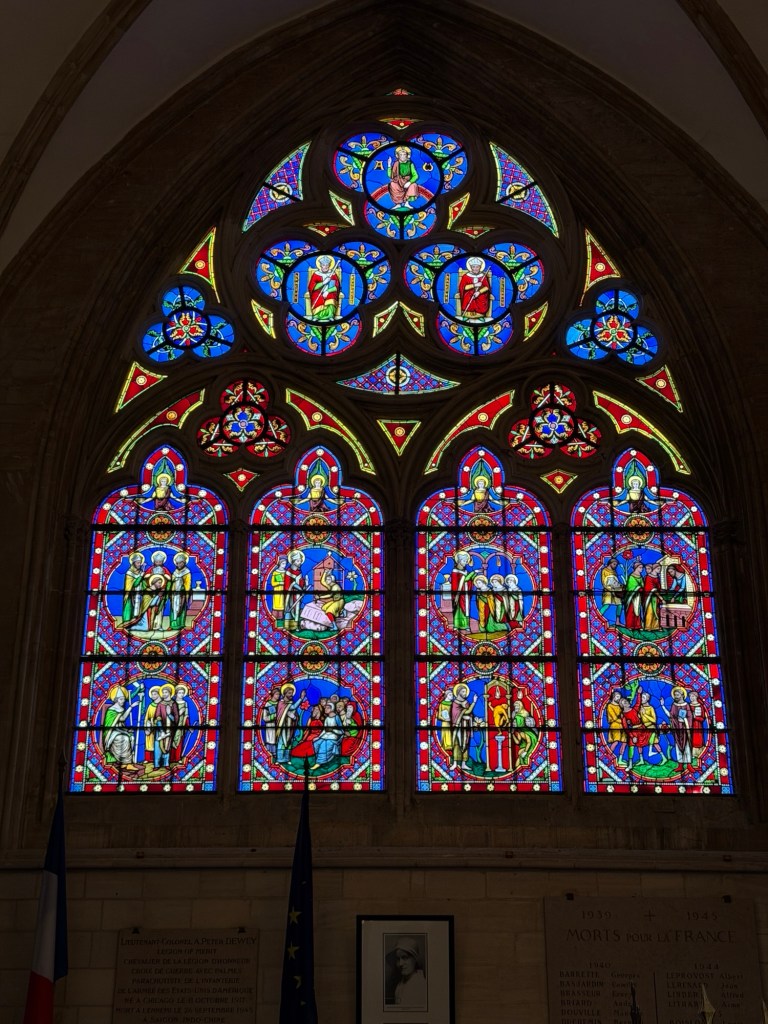
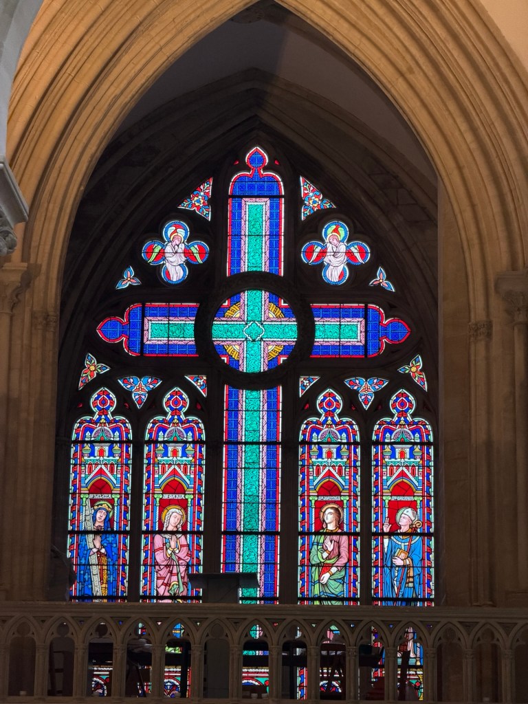
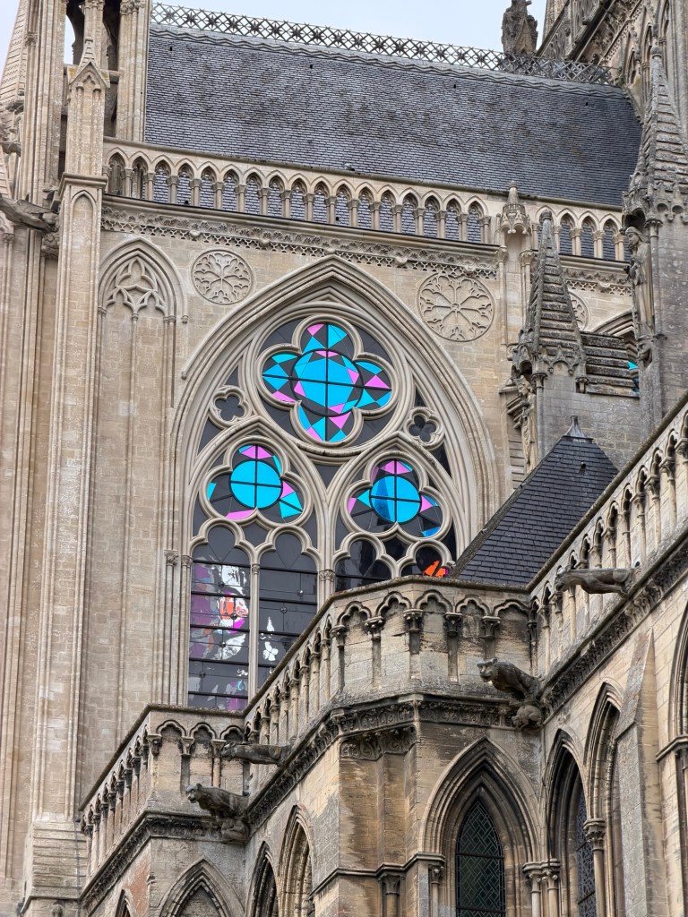
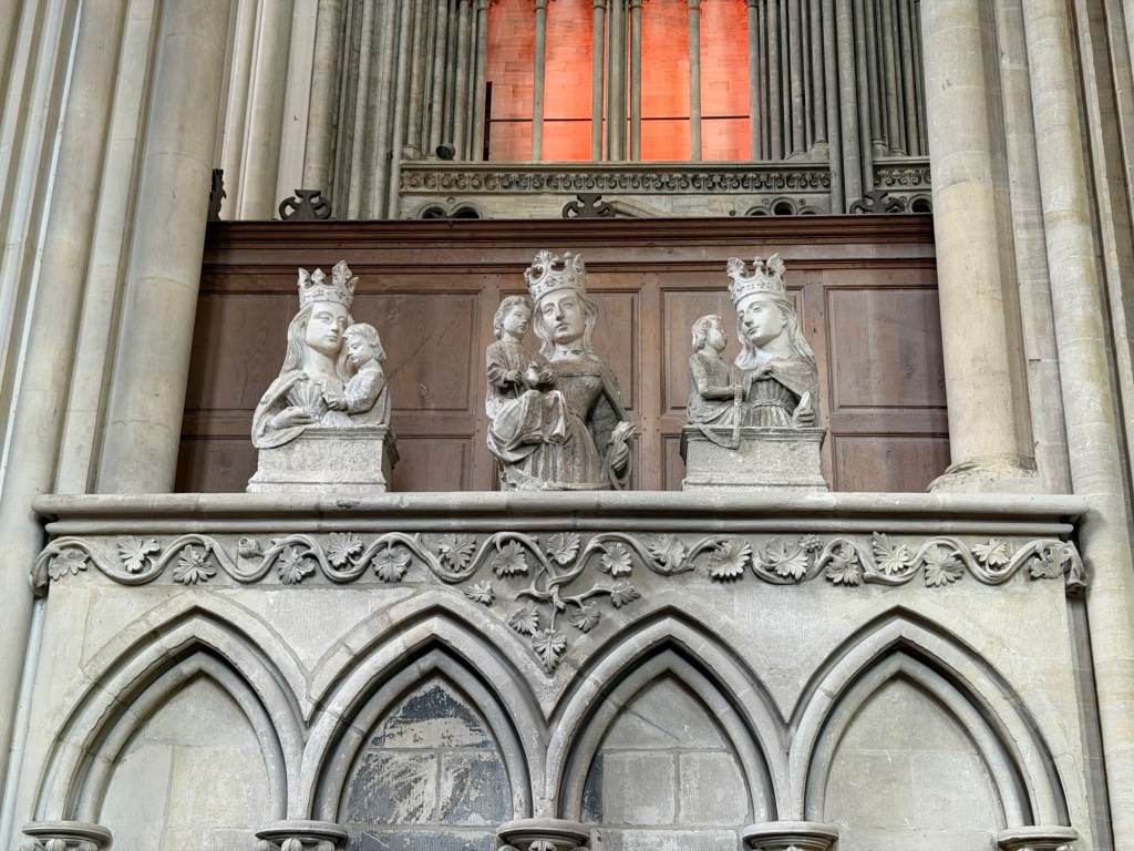
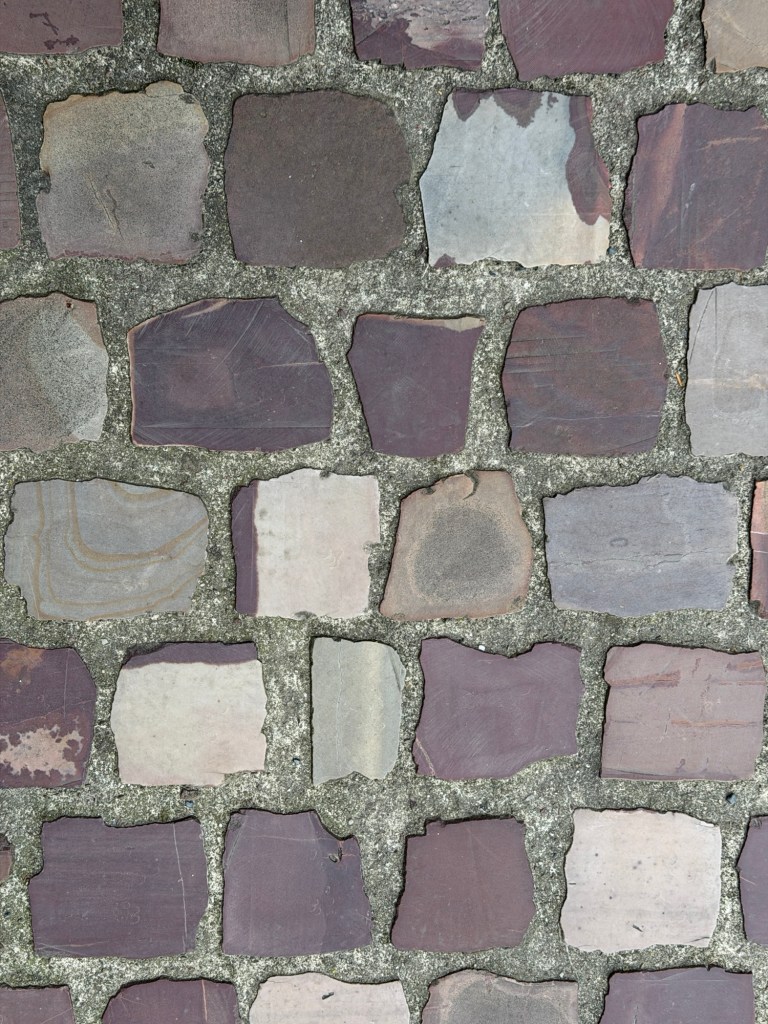
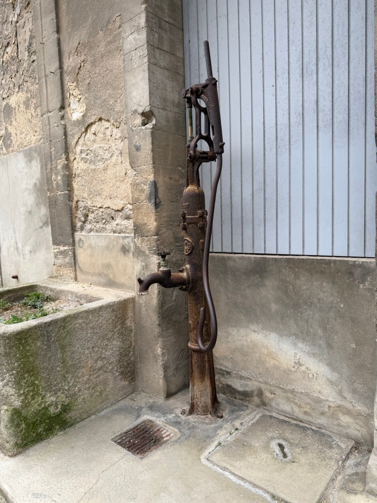
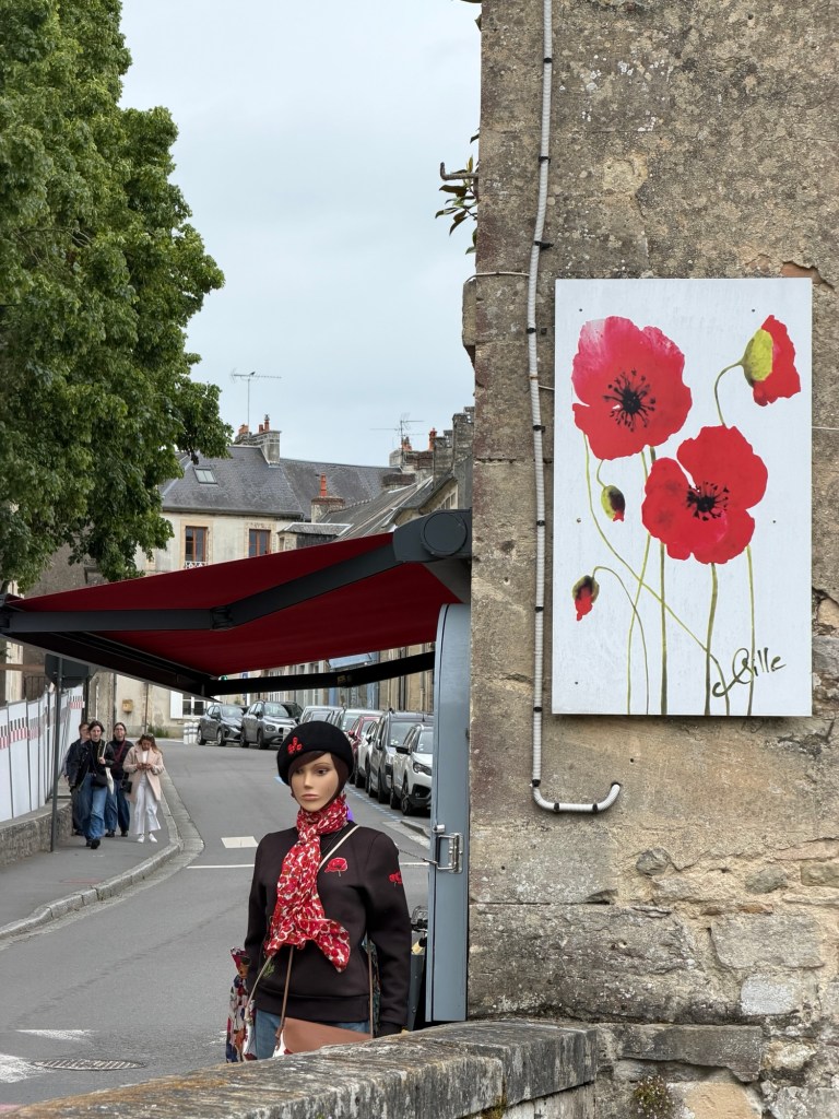
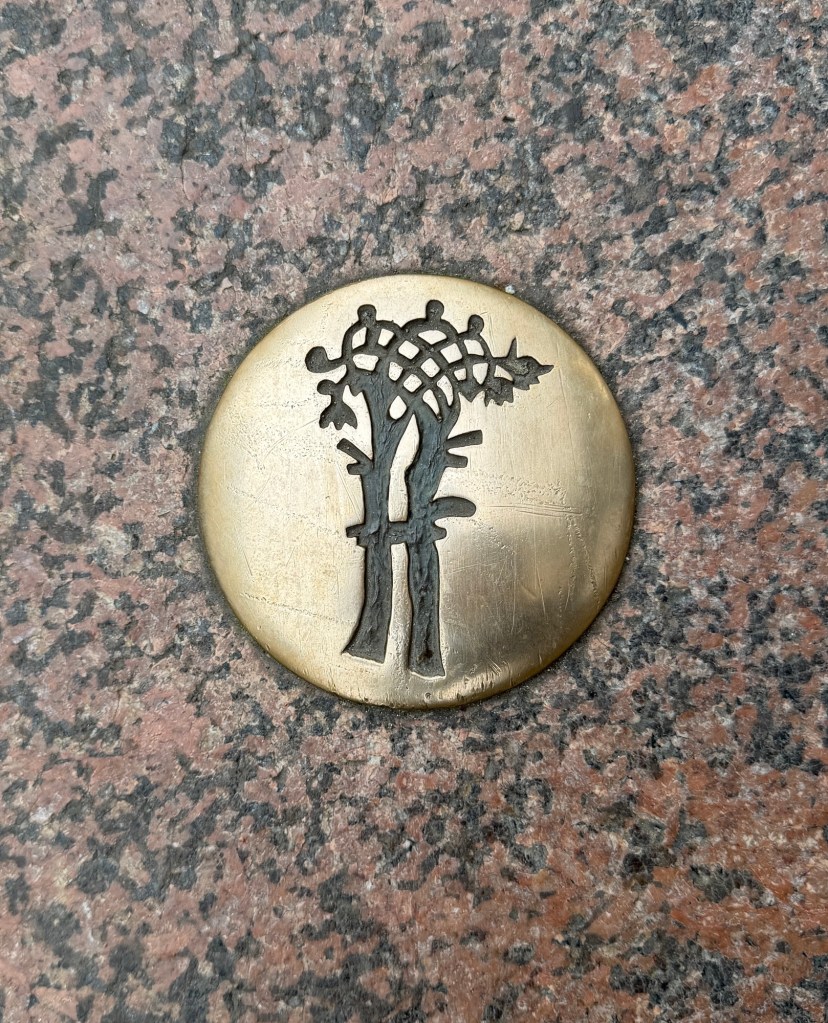
Clare’s middle name is after this saint. Mary and JesusIn memory of the dead in WWIImages in the cryptStained glass from inside and outside and statues inside the Bayeux CathedralFlying buttresses from inside and outside, red sandstone pavers, and views from outsideLiberty trees such as this were planted throughout France in 1793, when the king was beheaded.Lantern CourtyardWater pumpPoppies in artwork are a common sight.The Bayeux Tapestry is in London as the space in Bayeux is undergoing renovation.
The following text is from a sign near the water features:
Two thousand years ago, the town of Bayeux was established on the western bank of the river Aure, now running through the city from the south to the north. From Gallo-Roman times to the beginning of the 20th century, a vast number of craft industries have grown up along its banks.
First, there was fishing. Part of the river, upstream of the lock gates, was thus set aside as a fishing reserve for the Bishop’s exclusive use.
Those craft industries requiring vast amounts of water were also concentrated along the banks: dyers, tanners, laundries. The wash-house that can be seen from the d’Ornano car park, on the opposite river bank, still bears witness to these activities.
Finally, water was used as an energy source as hydraulic power for the various mills: flour mills, tannin mills or even colza oil mills.
In the Middle Ages, some of the mills, such as the one facing us, belonged to the Bishop of Bayeux who derived considerable income from them.
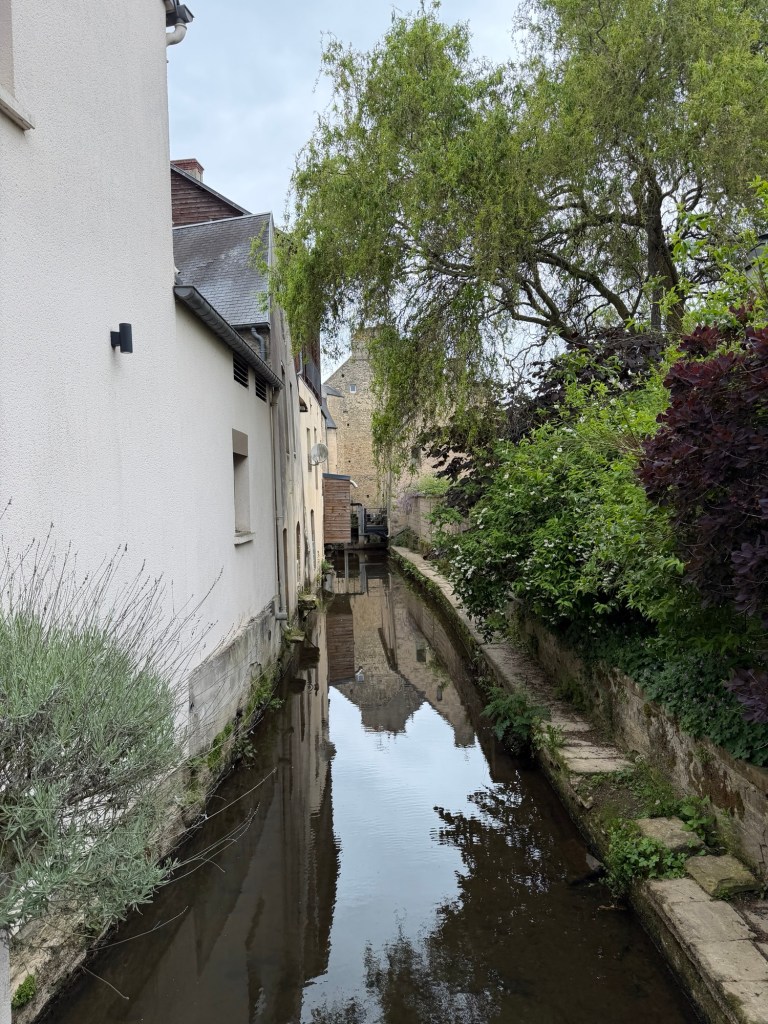
The river has greatly influenced the city’s development. Stone bridges have been built at the main crossing points, notably here where the Aure was transformed into a canal as early as the 13th century to pass under the former Hôtel-Dieu hospital.
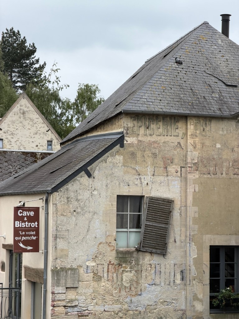
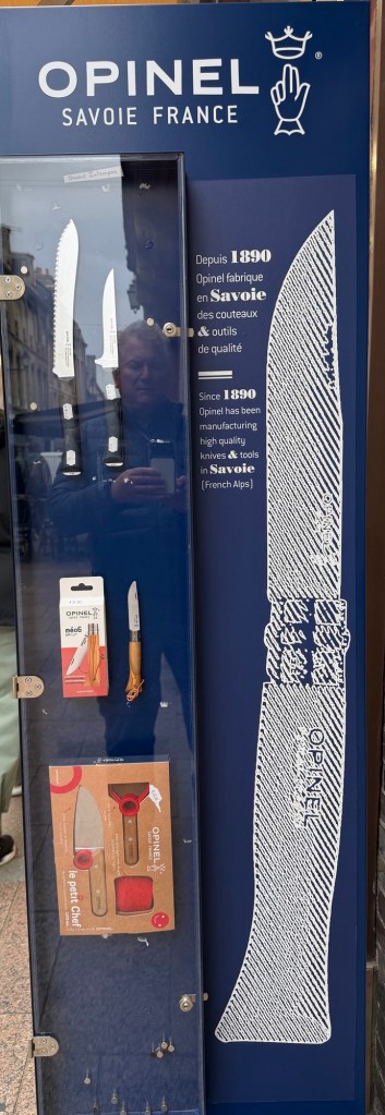
CanalsThe tilting shutter (Le violet qui penche) can never be repaired because it is the name of this wine cellar & bistro.Old water spigotTourist walk symbols on the groundAn ad for well-known French knivesA church near where we parked
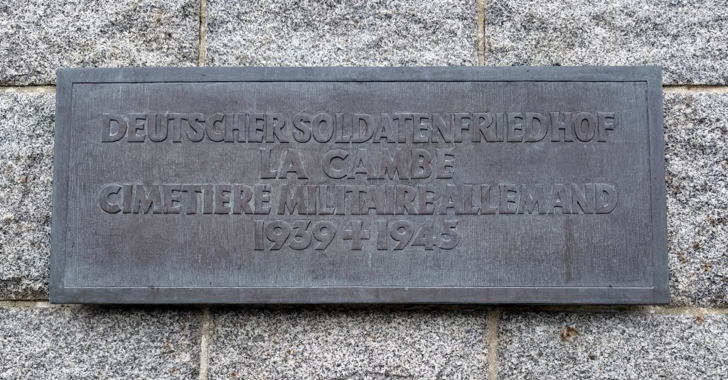
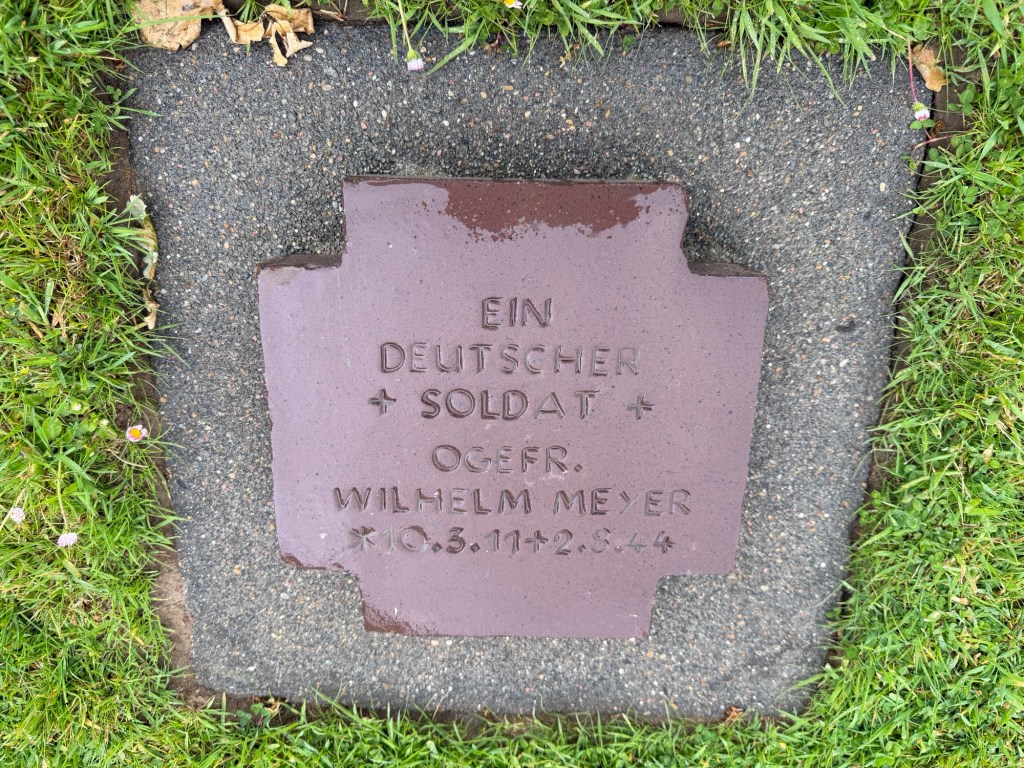
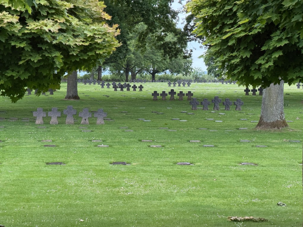
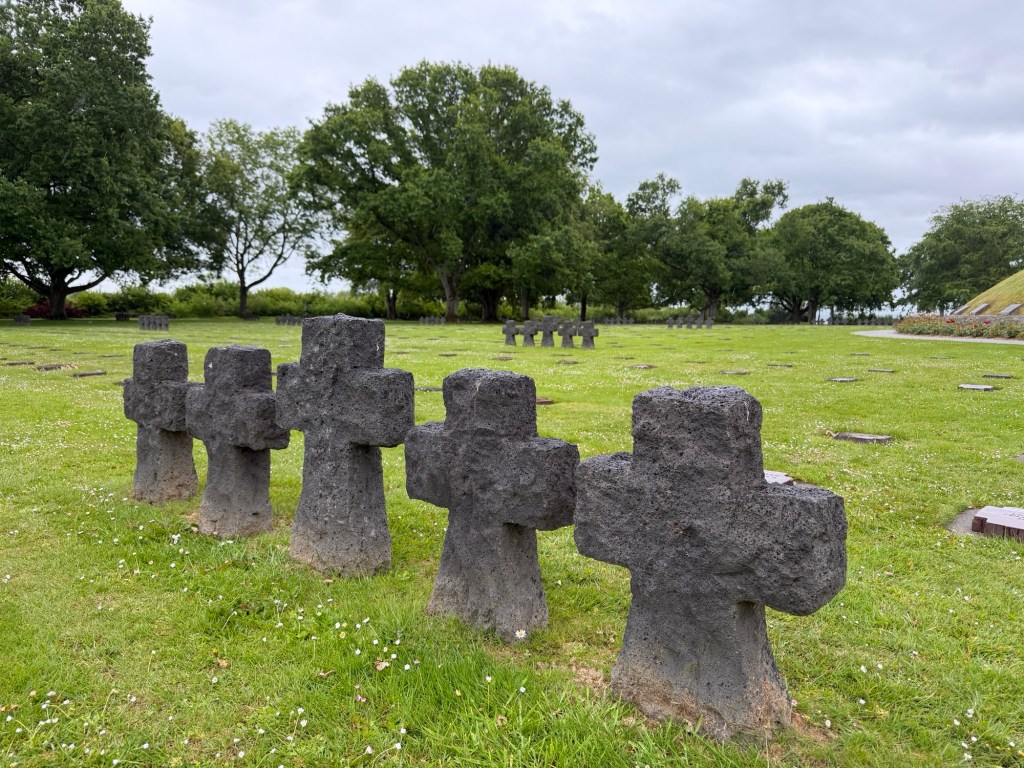
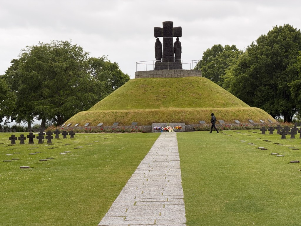
We also visited the large German cemetery at La Cambe where 21,000 soldiers are buried, many unidentified.
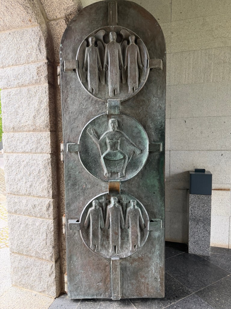
Marker with an unidentified soldier and a second soldierA light drizzle was appropriate in the somber place with few visitors.Crosses made of vesicular basalt create a dark ambience compared to the American cemetery.Cross and figures symbolizing the mothers and fathers of the dead
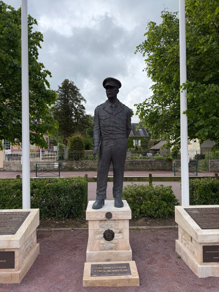
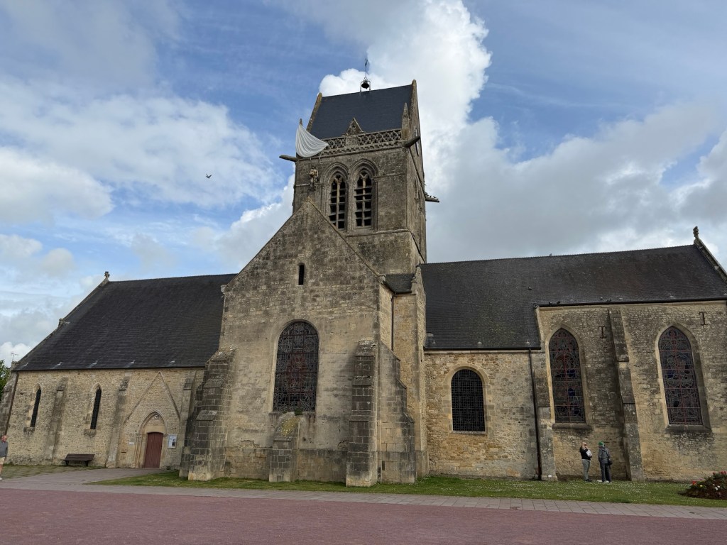
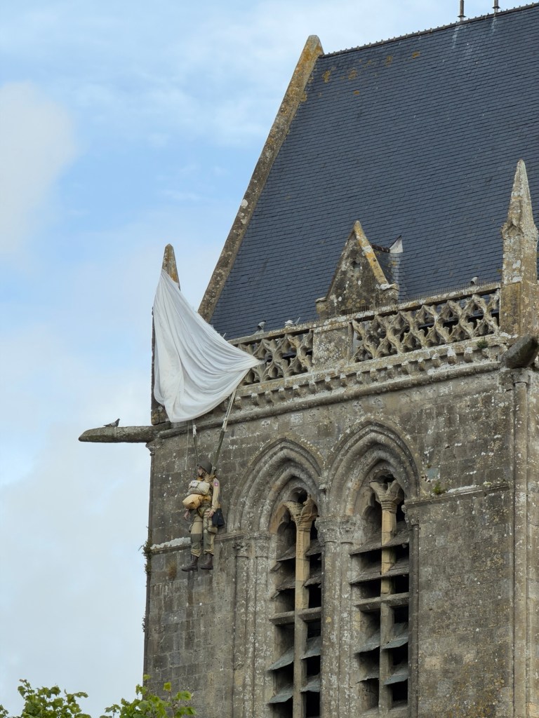
We then proceeded back to Ste-Mère Eglise.
General Eisenhower The medieval churchThe paratrooper who hung for hours early on D-Day prior to rescue
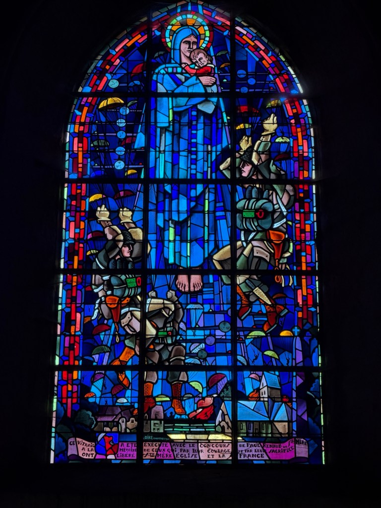
The church was closed, but we went back the next morning to see the inside.
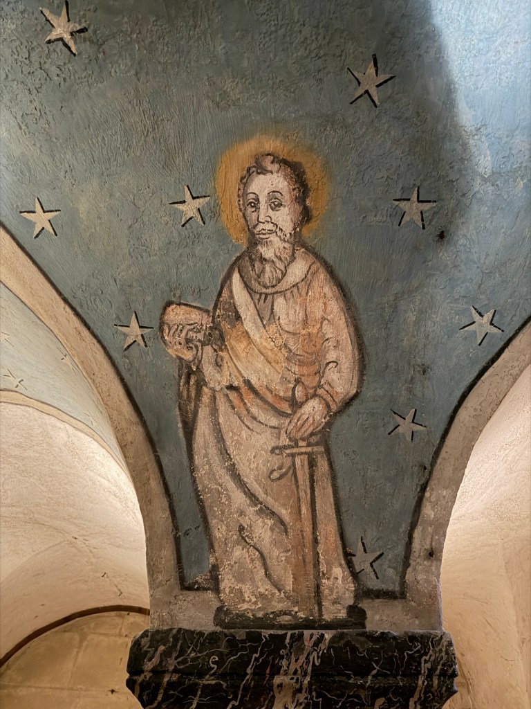
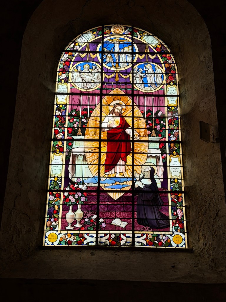
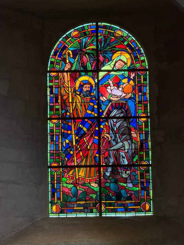
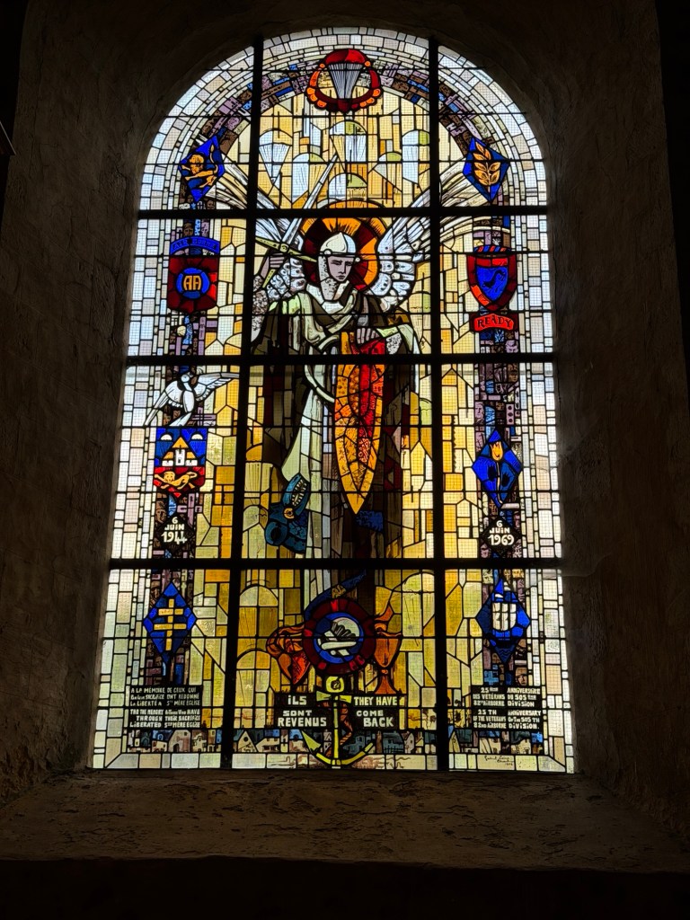
St. Michael, patron saint of paratroopers (1969)Paratroopers in stained glass window (1984)Alter made of marble
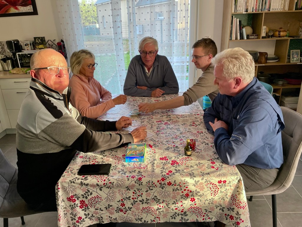
We stayed in Chef de Pont for three nights at Marc’s brother’s place —a wonderful, gracious host. The first night, Thursday, we met not only Jérome, but his daughter Léa and son Cédric, when we shared dinner. Cédric and Jérome will join our adventures for a few days.
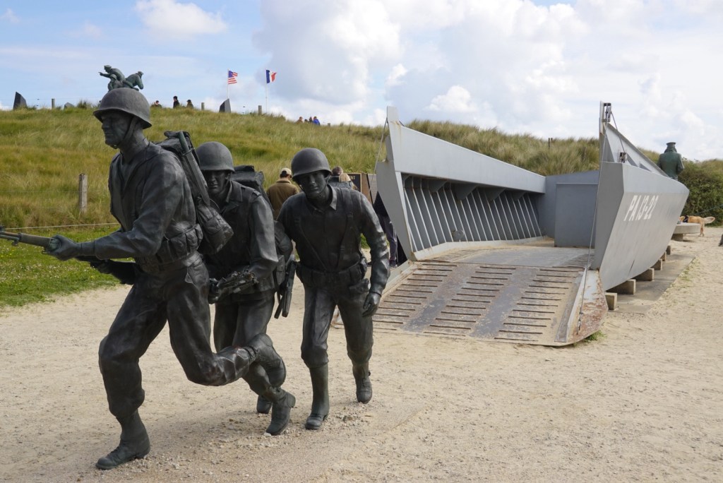
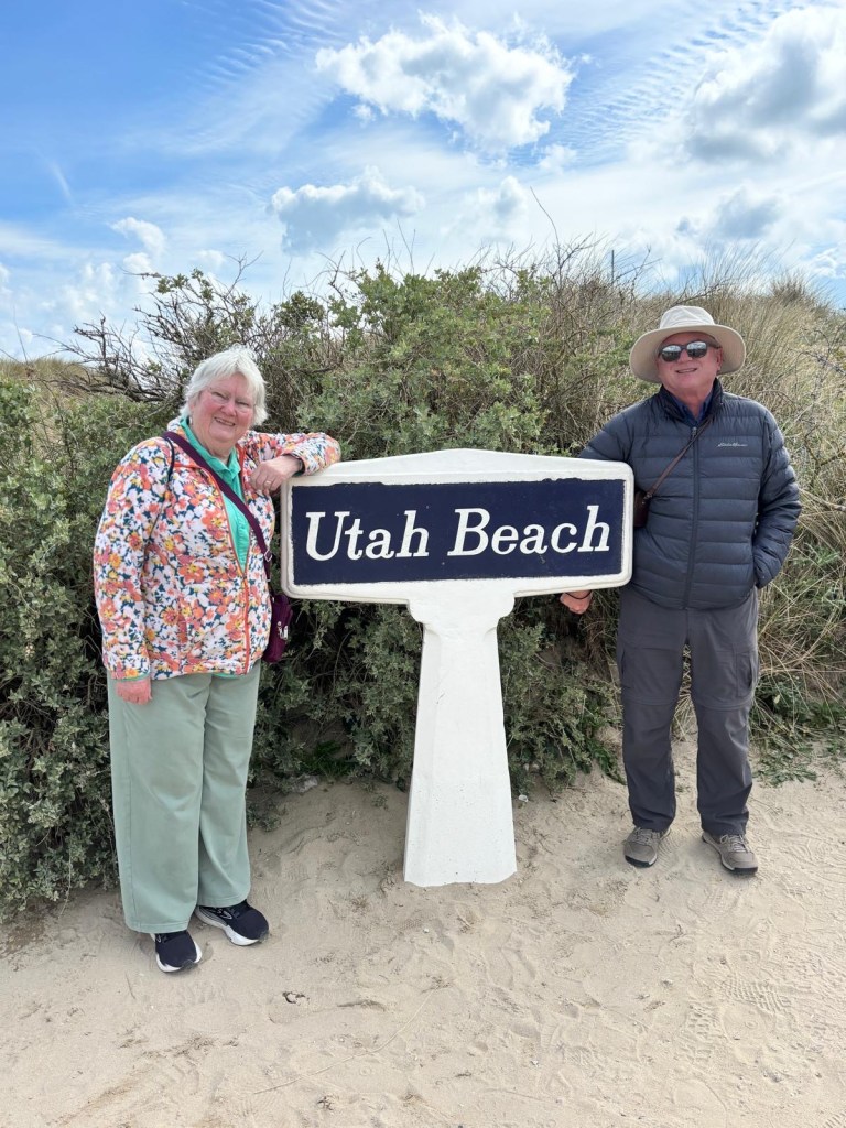
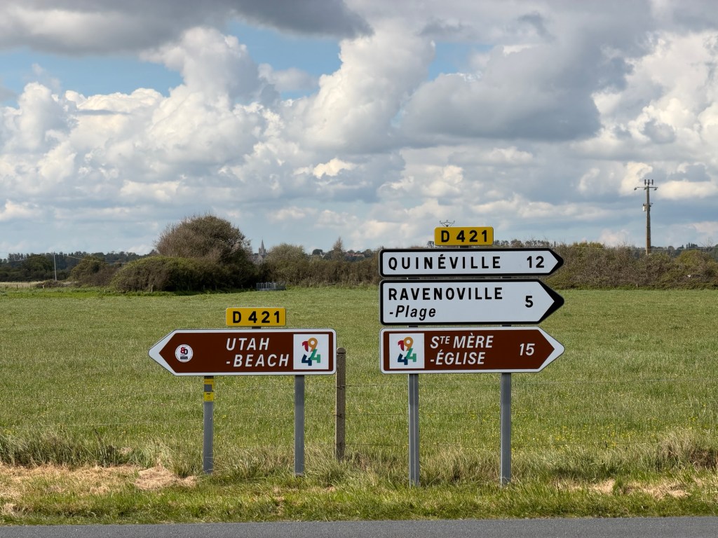
The first place we visited this day was a wetland area inland from Utah Beach. As a possible defense against invasion, the Germans partially flooded this area to cut off the Cotentin Peninsula. This would have slowed invading Allies landing at Utah Beach and isolated the port at Cherbourg. It is now park land.
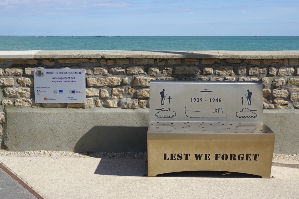
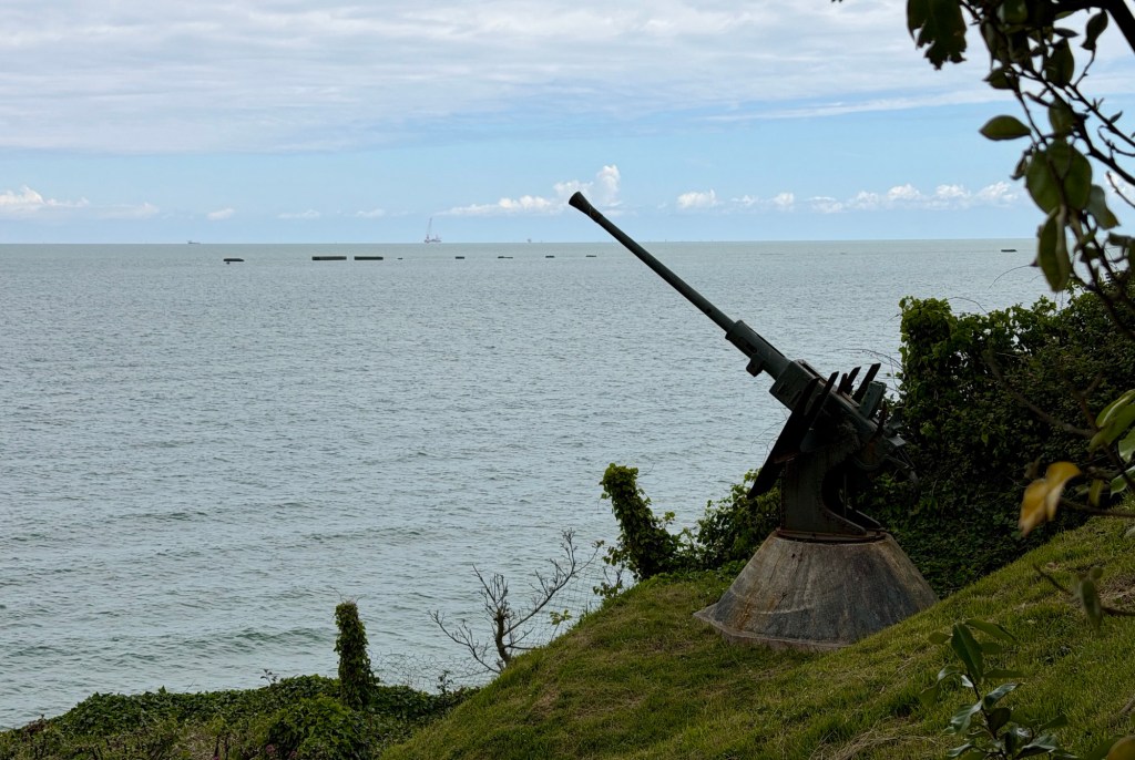
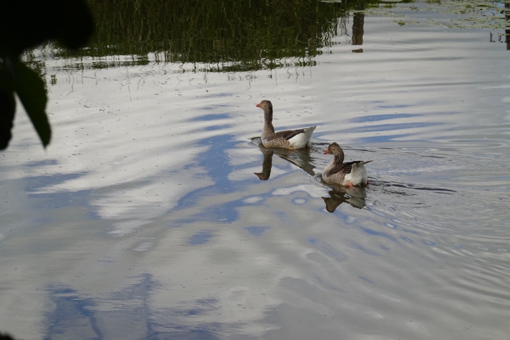
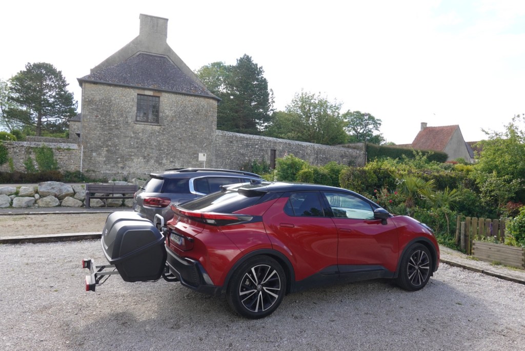
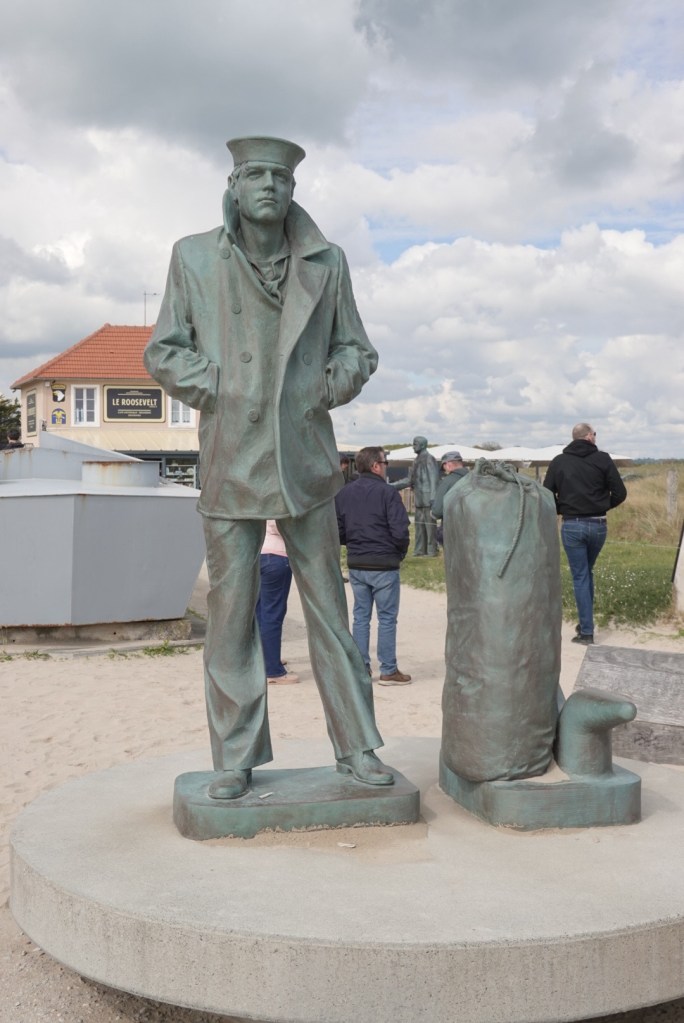
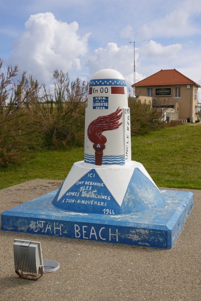
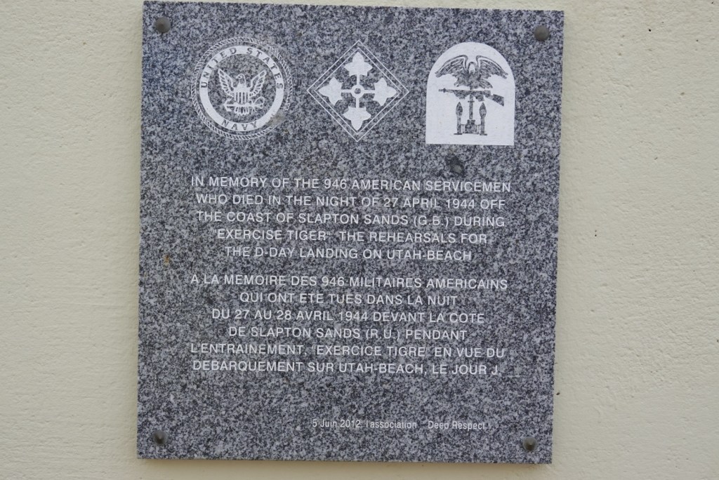
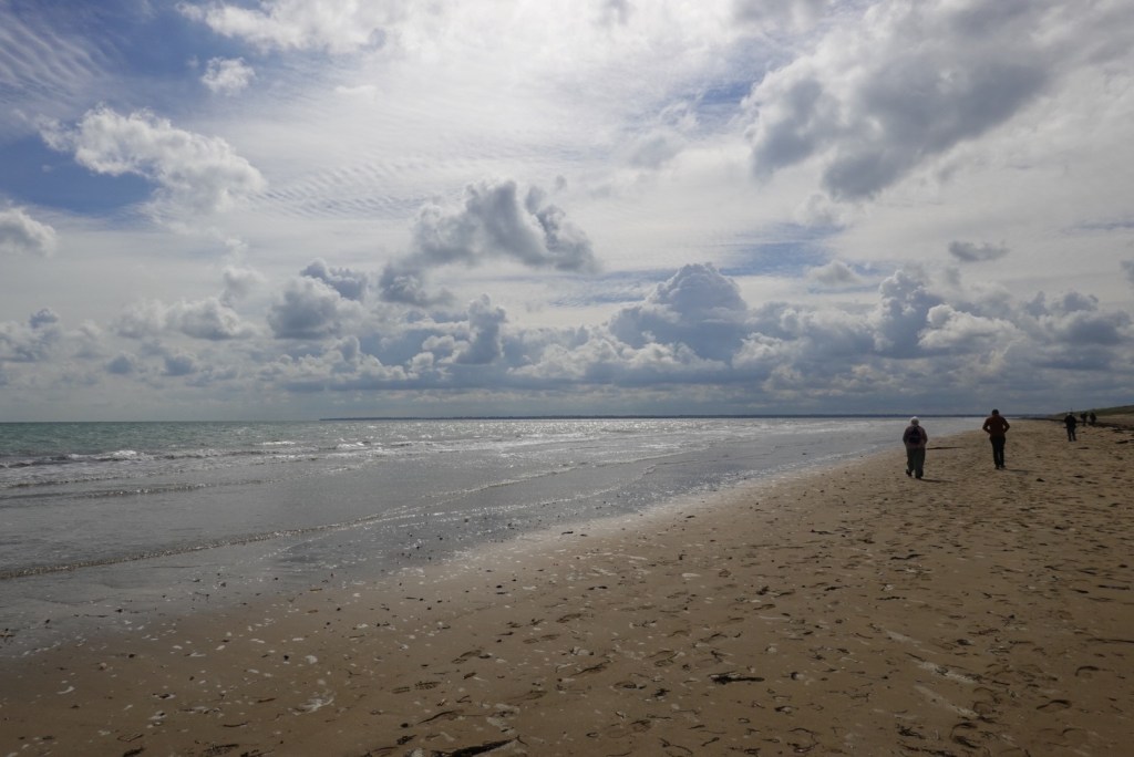
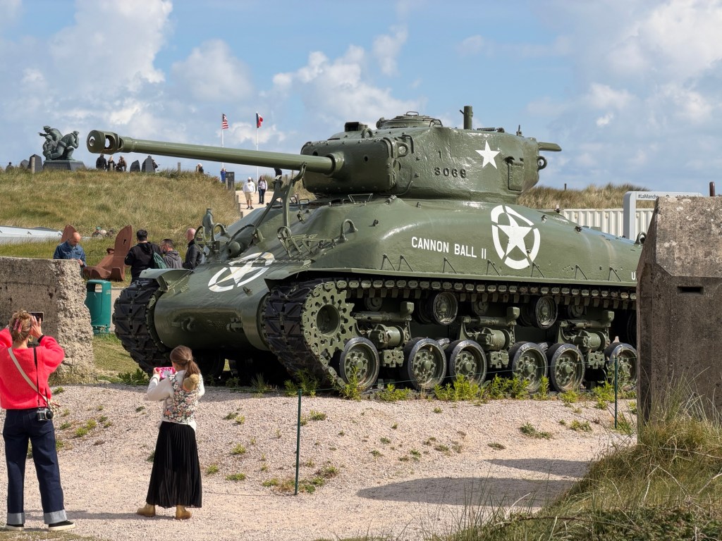
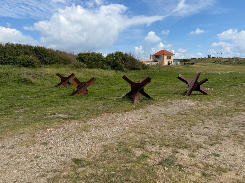
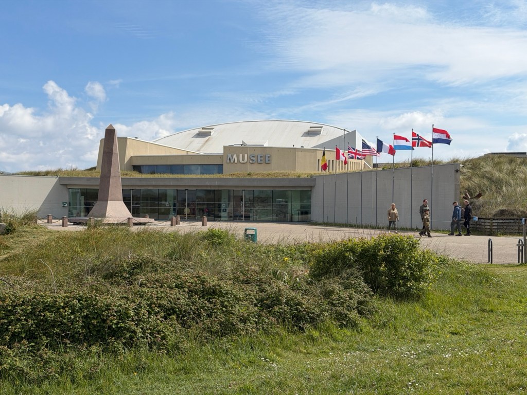
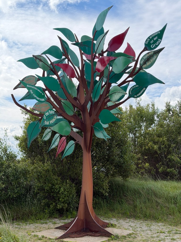
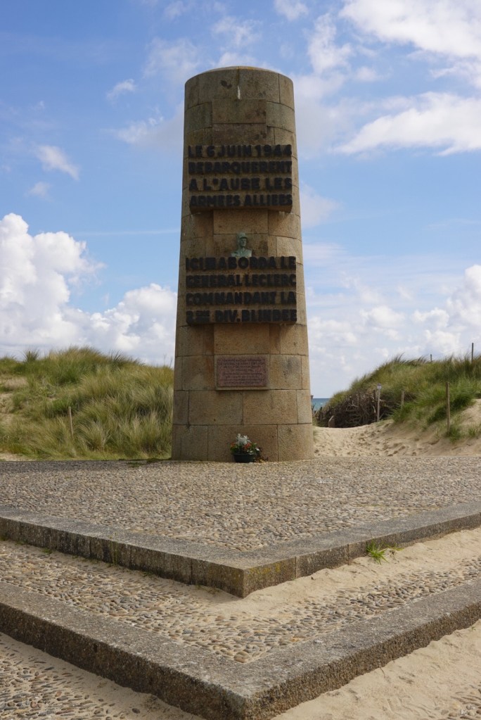
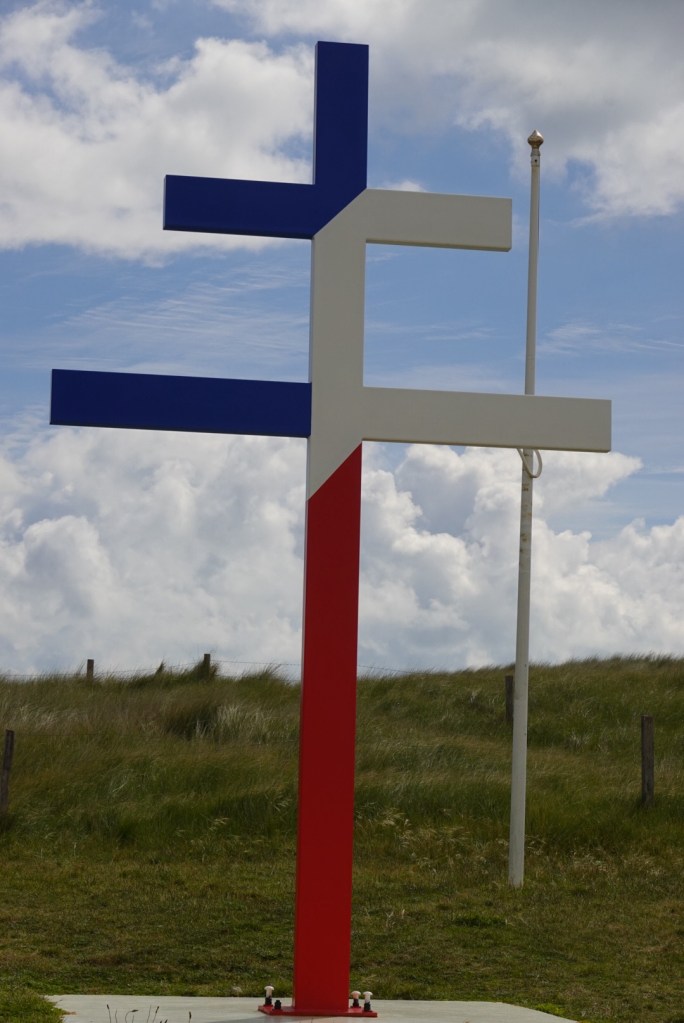
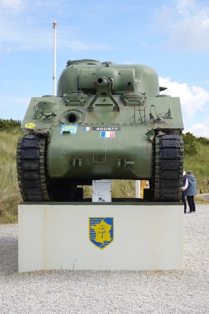
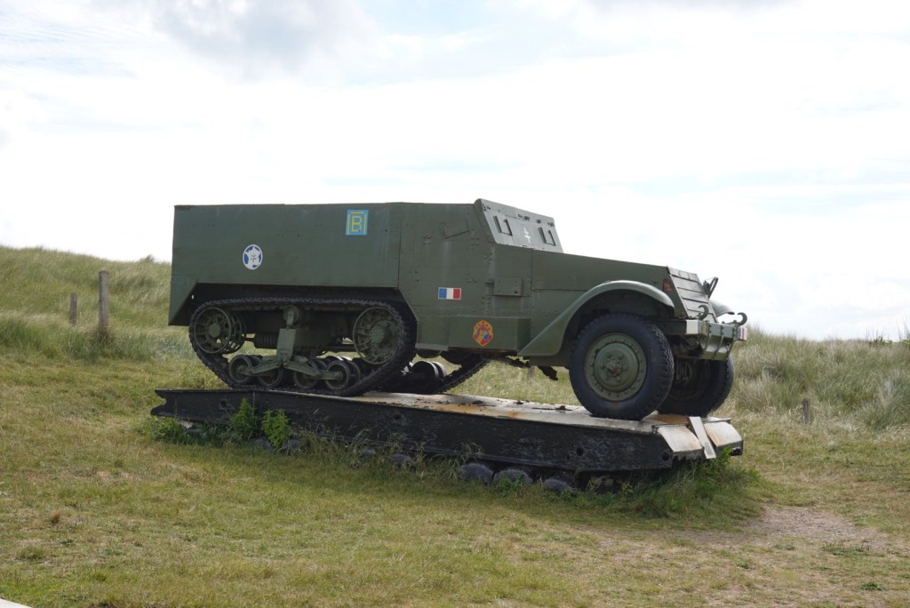
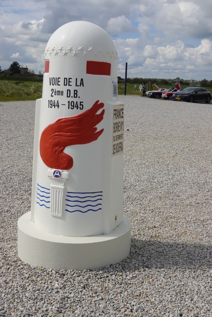
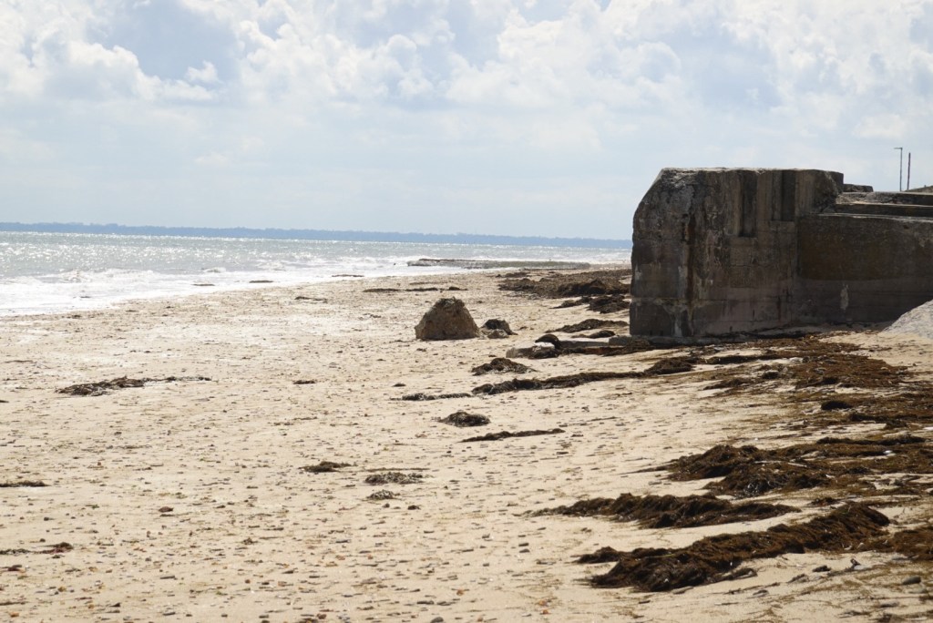
A canal in the wetlands near CarentanJoëlle and Clare exploring.European geese pairMarc and Joëlle’s hybrid Toyota with add-on luggage trunk got us safely to our destinations.Normandy Lone SailorU.S. Navy Memorial on Utah BeachGerman artillery pieceInfantrymen figures exiting a landing craftOne of a few 0 km liberty markers along the coastMemorial to American servicemen killed in a practice exercise for D-Day that occurred in EnglandUtah BeachSherman tankAnti-tank devices sometimes called hedgehogsMusée du Débarquement is one of over a dozen D-Day museums in the coastal towns.Liberty TreeThis monument honors General LeClerc (pseudonym used to protect family), who commanded French troops that landed in July.Cross of Lorraine, a symbol of Free France, and French armored vehiclesDirectional signs and liberty markers document the paths of Allied forcesUtah Beach, German bunker, and a man and woman bringing in today’s catchIslands were also used for German fortifications.Religious statue on Utah BeachCédric and Joëlle on the seawallThese German guns were 2.5 km from the coast, requiring communication from coastal lookouts for aiming.
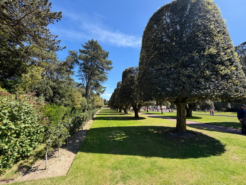
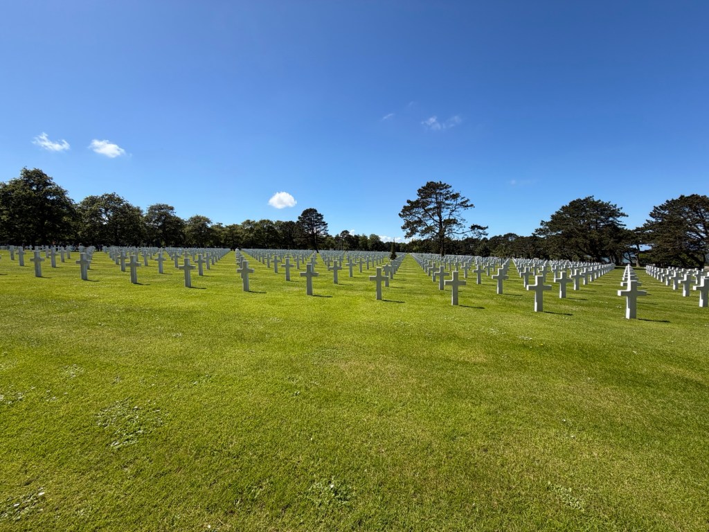
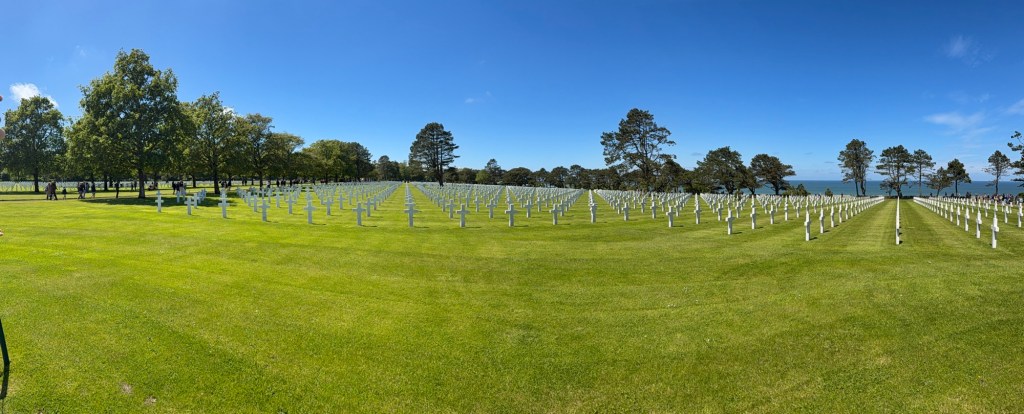
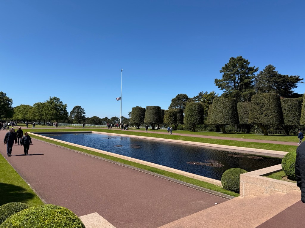
In Colleville-sur-Mer, we visited the American cemetery and the Big Red One museum. Traffic and parking were difficult!
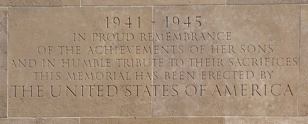
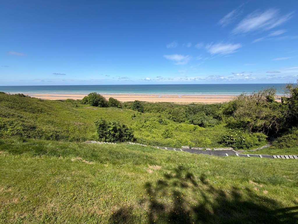
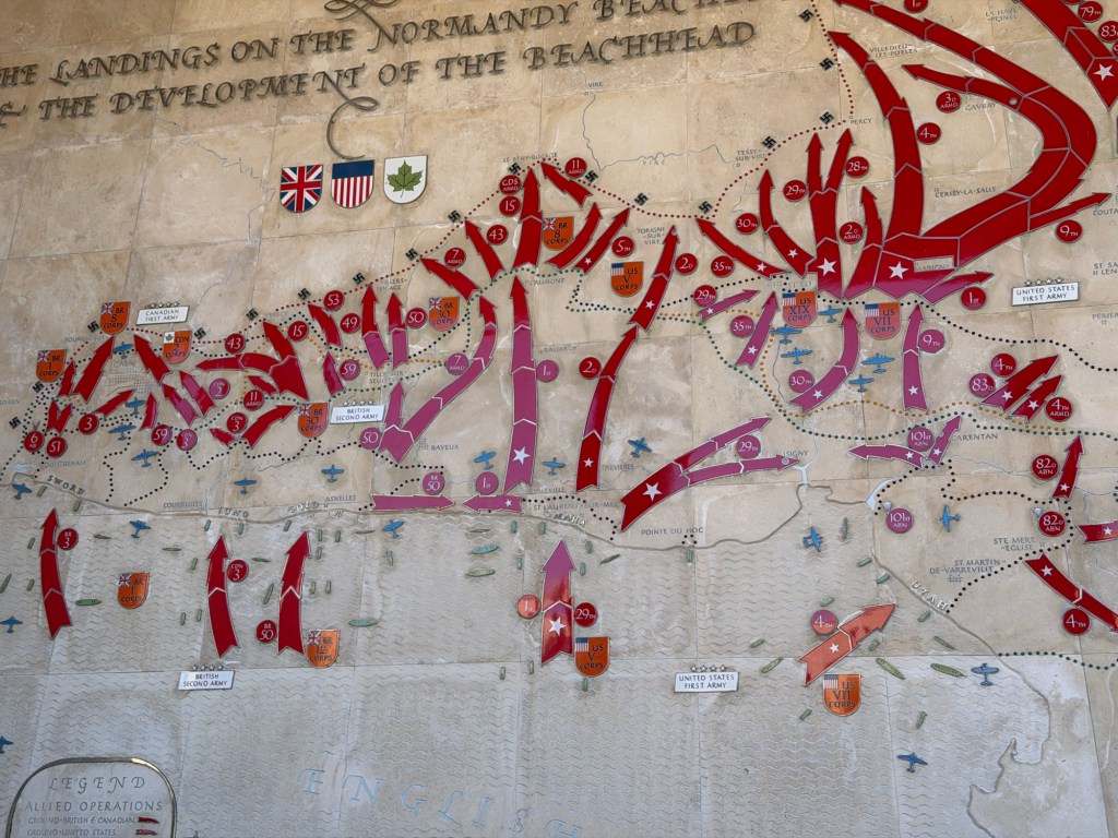
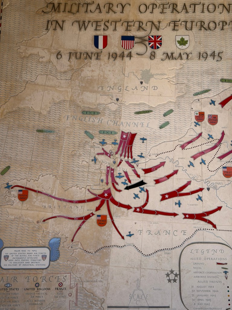
The American cemetery on the terrace above Omaha Beach contains the graves of almost 10,000 men! The land is U.S. territory,
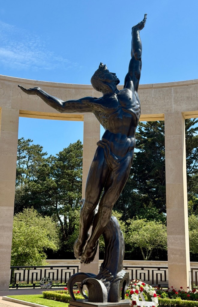
Omaha Beach from the cemeteryTrees shaped like gumdrops?!Reflecting PoolAllied beach landings and initial front linesAllied fronts after D-DaySculpture representing The Spirit of the American Youth Rising from the Waves
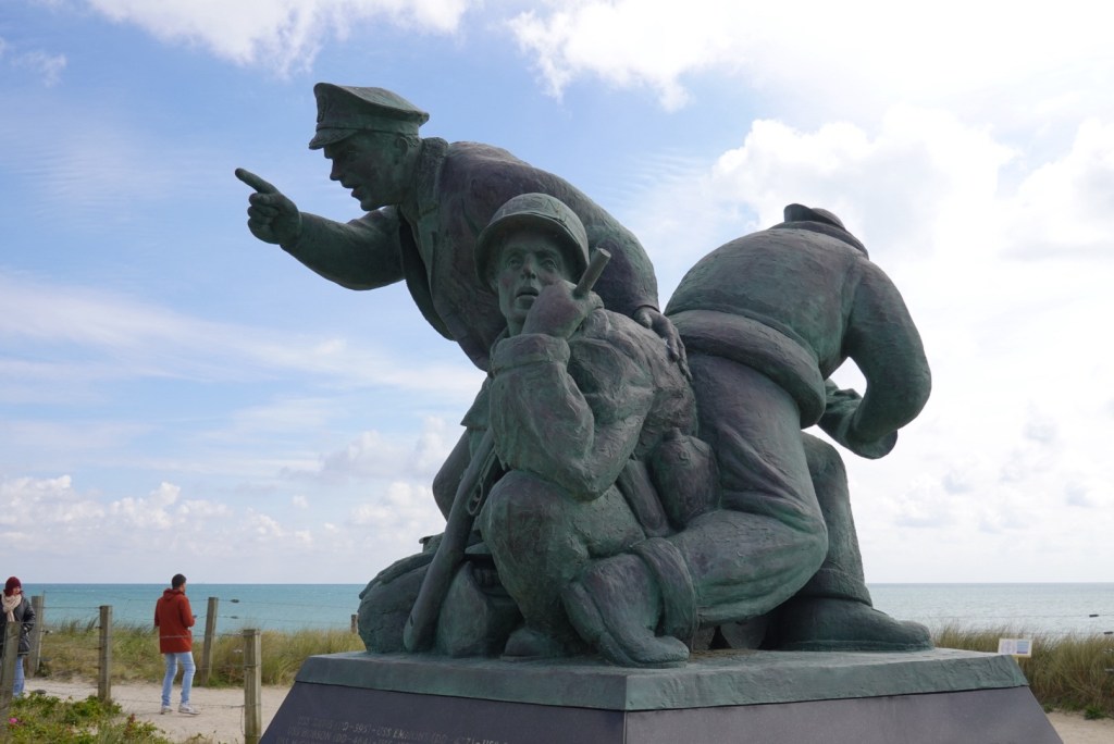
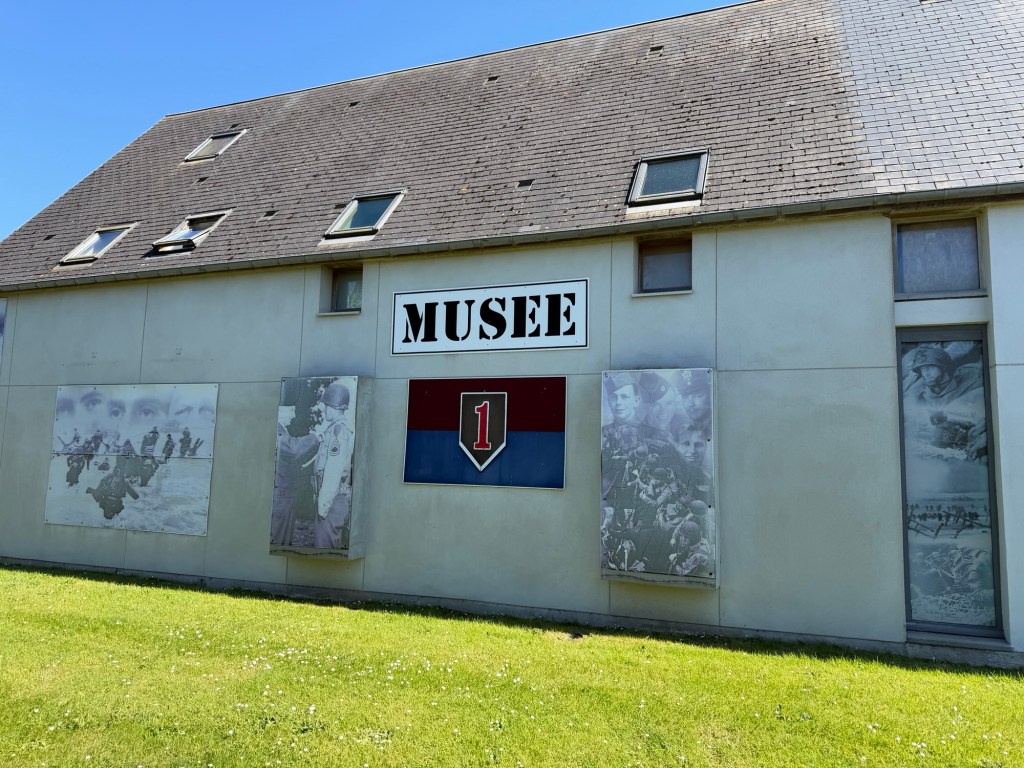
The Big Red One Museum, referring to the U.S. Army First Division, has many artifacts from the D-Day landings on Omaha Beach. These objects were collected by Pierre over decades. Brian’s great uncle George A. Taylor, led the 16th infantry as a Colonel. Pierre gave us a personal tour as he was excited to meet relatives of soldiers who fought in the landings.
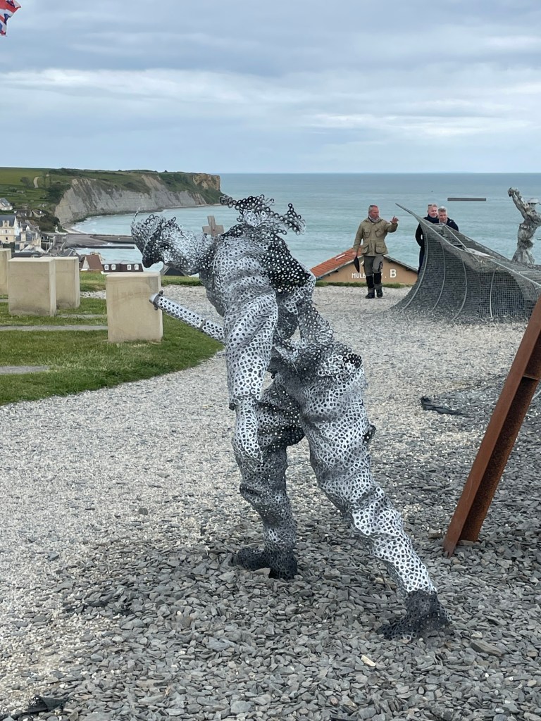
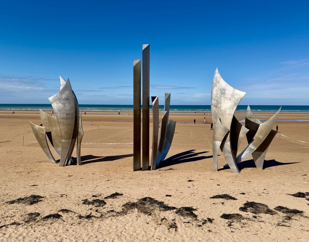
Big Red One museum and photo of Brian and Pierre.Omaha Beach is very wide and flatThe Brave sculpture on Omaha Beach
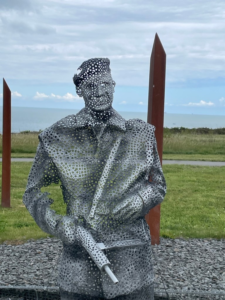
The artist, Anilore Banon writes:
I created this sculpture to honour the courage of these men, sons, husbands and fathers who endangered and often sacrificed their life in the hope of restauring their fredom to the French people.
The sculpture THE BRAVE is made of three elements:
The Wings of Hope
So that the spirit that carried these men on June 6th, 1944 continues to inspire us, reminding us that together it is always possible to change the future.
Rise, Freedom!
So that the example of those who rose against barbarism helps us remain standing up against all forms of inhumanity.
The Wings of Fraternity
So that this surge of brotherhood always reminds us of our responsibility towards others as well as ourselves.
On June 6, 1944, these men were more than soldiers, they were our brothers.
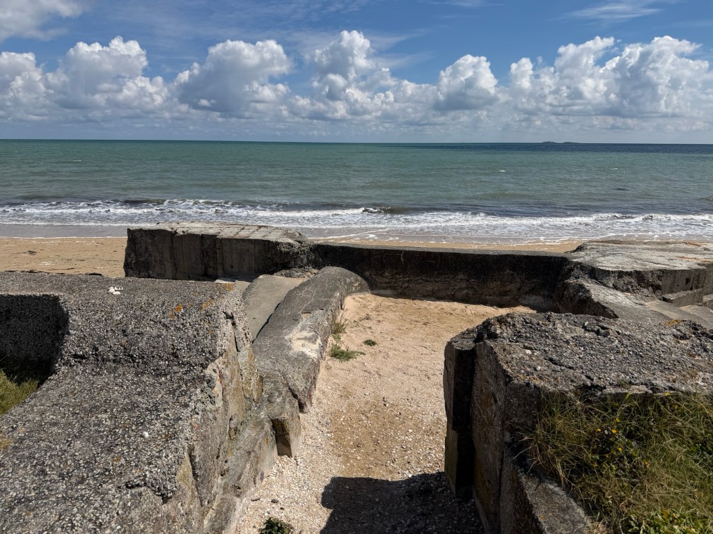
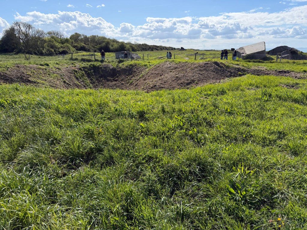
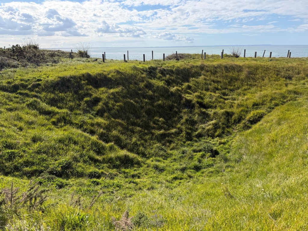
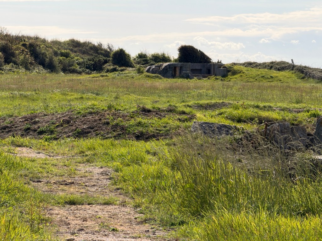
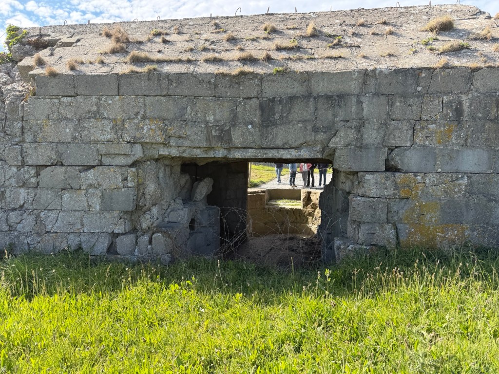
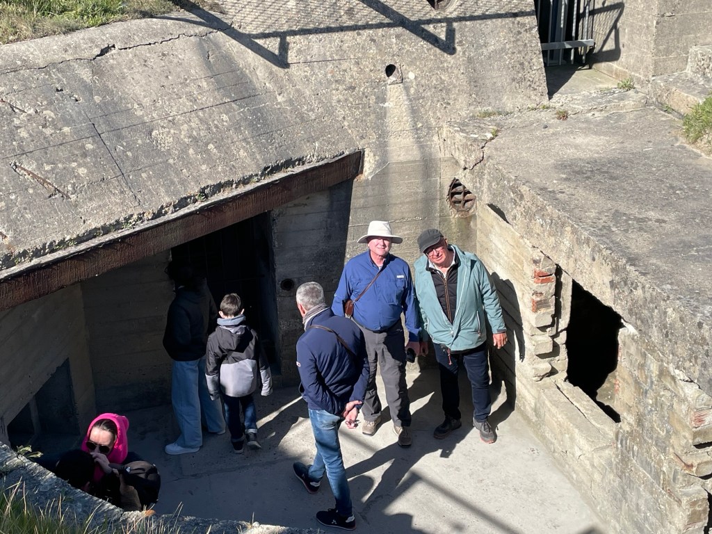
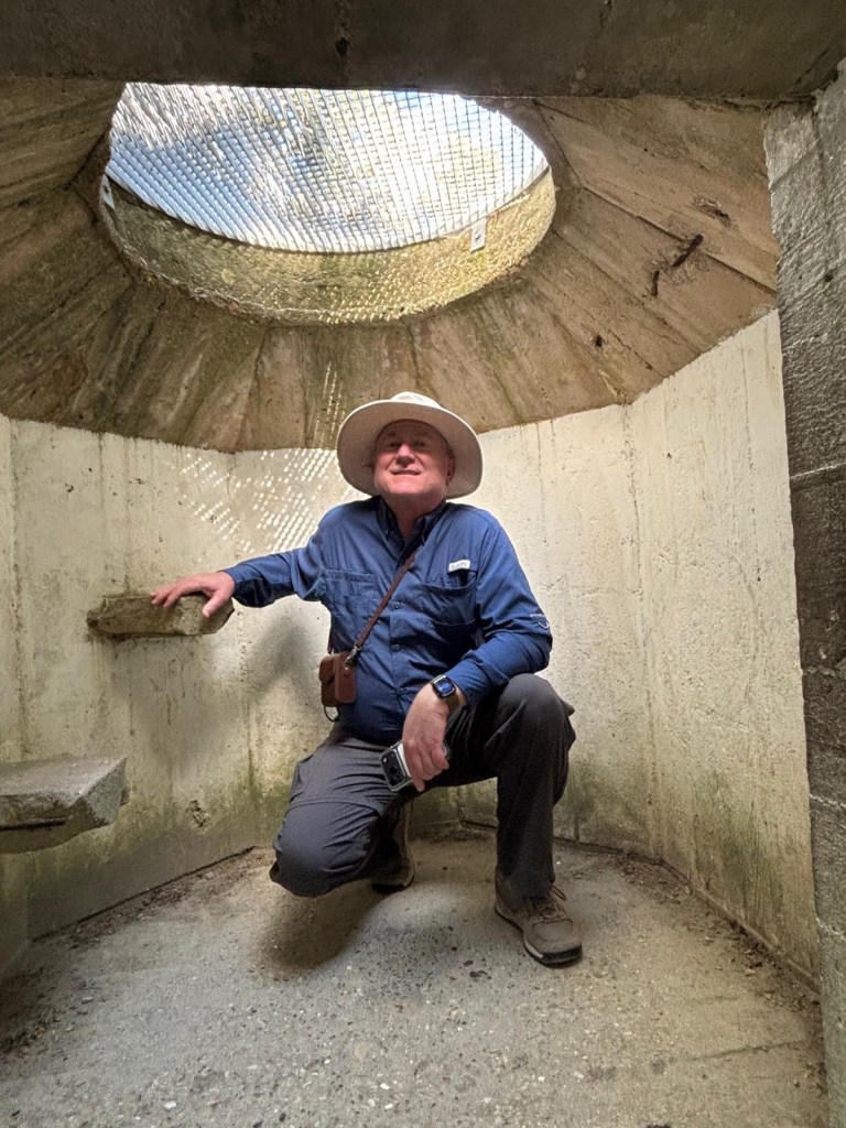
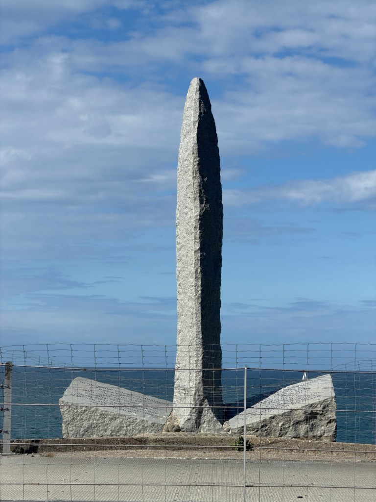
Pointe du Hoc, between Utah and Omaha Beaches was where the Germans built a major array of gun emplacements. Allies waited until D-Day to bomb them from Navy ships, resulting in the craters still visible. Army Rangers had to scale the cliffs to capture the point.Some bunkers are accessible.Monument on a bunker at Pointe du Hoc installed by the French to honor the American Second Ranger Battalion.An evening game of Flip7 at Jéromes house to end the day